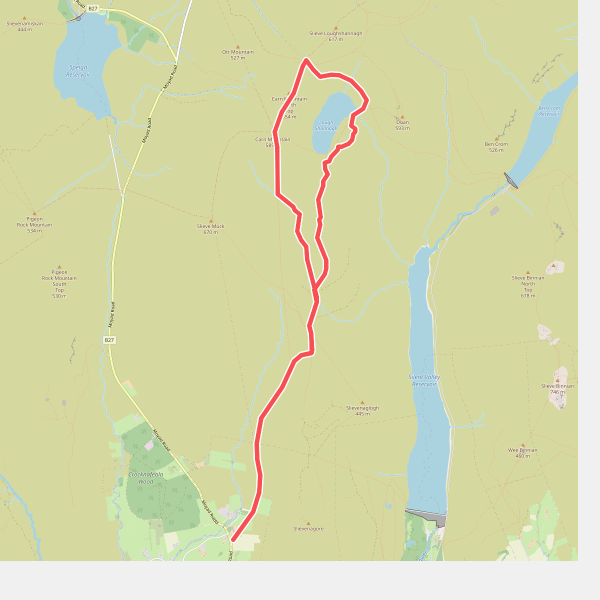
The best hiking routes in Mourne AONB
Discover the best walks in Mourne AONB. 32 routes on the map, with descriptions, photos and GPX.
About Mourne AONB
The Mourne AONB is characterized by a compact group of granite mountains that rise abruptly from the Irish Sea coast. Unlike flatter peatlands, this landscape features steep, boulder-strewn slopes and sharp granite tors. Underfoot, walkers will encounter a mix of rough heather, deep peat hags, and eroded granite gravel tracks. The lower slopes are divided by dry stone walls, most notably the Mourne Wall, which serves as a clear navigational aid across fifteen summits.
Read more
About Mourne AONB
The Mourne AONB is characterized by a compact group of granite mountains that rise abruptly from the Irish Sea coast. Unlike flatter peatlands, this landscape features steep, boulder-strewn slopes and sharp granite tors. Underfoot, walkers will encounter a mix of rough heather, deep peat hags, and eroded granite gravel tracks. The lower slopes are divided by dry stone walls, most notably the Mourne Wall, which serves as a clear navigational aid across fifteen summits.
Read moreThe Mourne AONB is characterized by a compact group of granite mountains that rise abruptly from the Irish Sea coast. Unlike flatter peatlands, this landscape features steep, boulder-strewn slopes and sharp granite tors. Underfoot, walkers will encounter a mix of rough heather, deep peat hags, and eroded granite gravel tracks. The lower slopes are divided by dry stone walls, most notably the Mourne Wall, which serves as a clear navigational aid across fifteen summits.
Walking here requires navigating distinct terrain zones. The high summits are dominated by exposed rock and thin soils, while the valleys and saddles contain wet bog and deep heather that make off-path walking slow. Forested areas like Tollymore and Donard Park offer firmer gravel paths and clay tracks under a canopy of beech and pine, contrasting with the open, trackless upper slopes where navigation skills are essential.
In late August, the lower slopes turn purple with flowering heather, contrasting with the grey granite of the summits. The area is not a wilderness of endless gentle plains; it is a vertical landscape of steep climbs and sudden drops. While popular trailheads near Newcastle can be busy, the western high peaks offer a quieter, more rugged experience where the ground is consistently rougher and less defined.
Hiking routes in Mourne AONB (32)

#1. Annalong Coastal Path
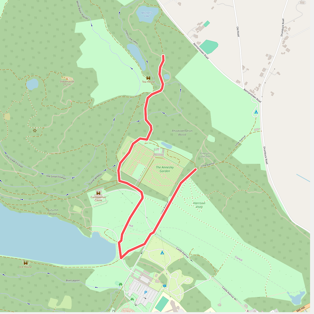
#2. Annesley Garden Walk
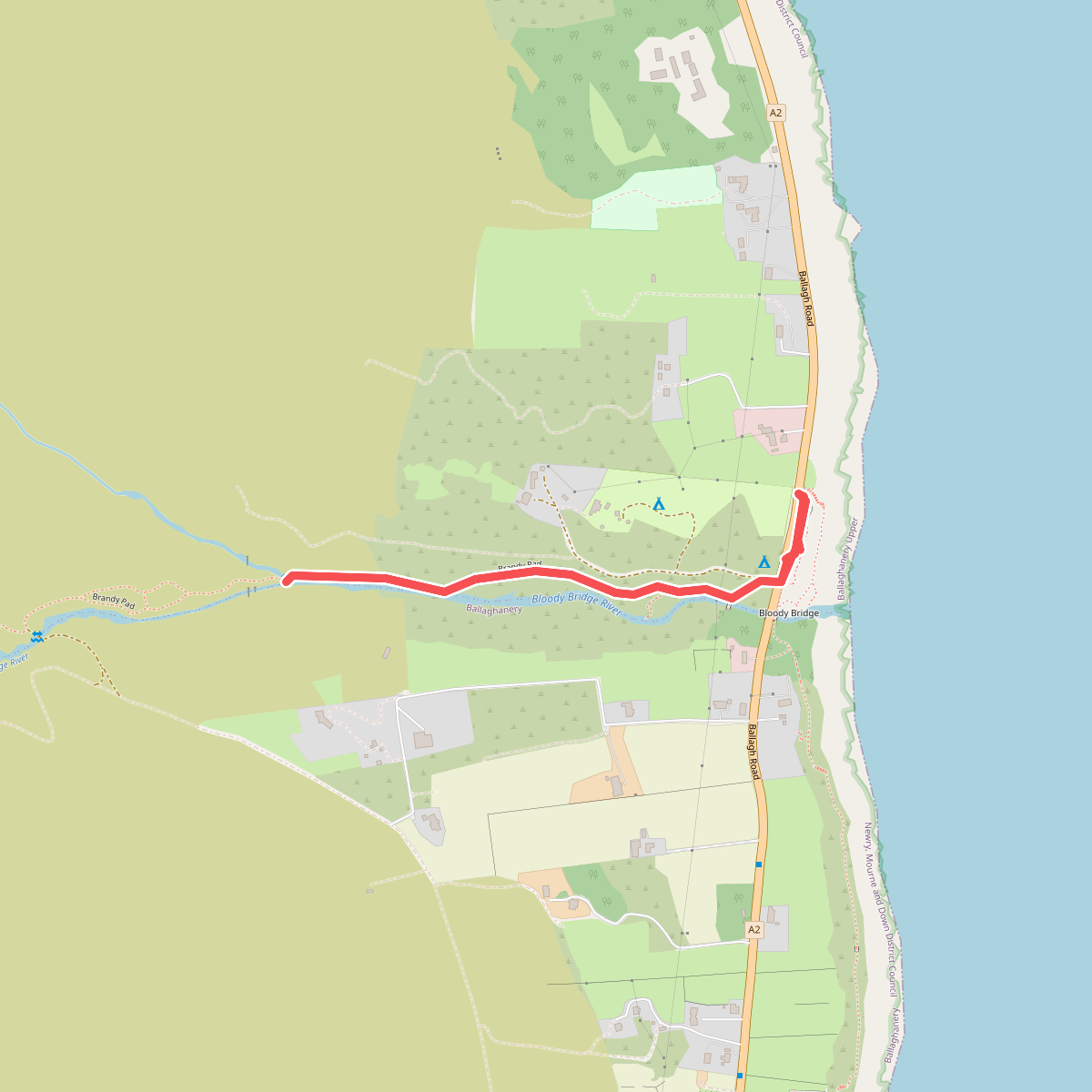
#3. Bloody Bridge River Walk, Mournes
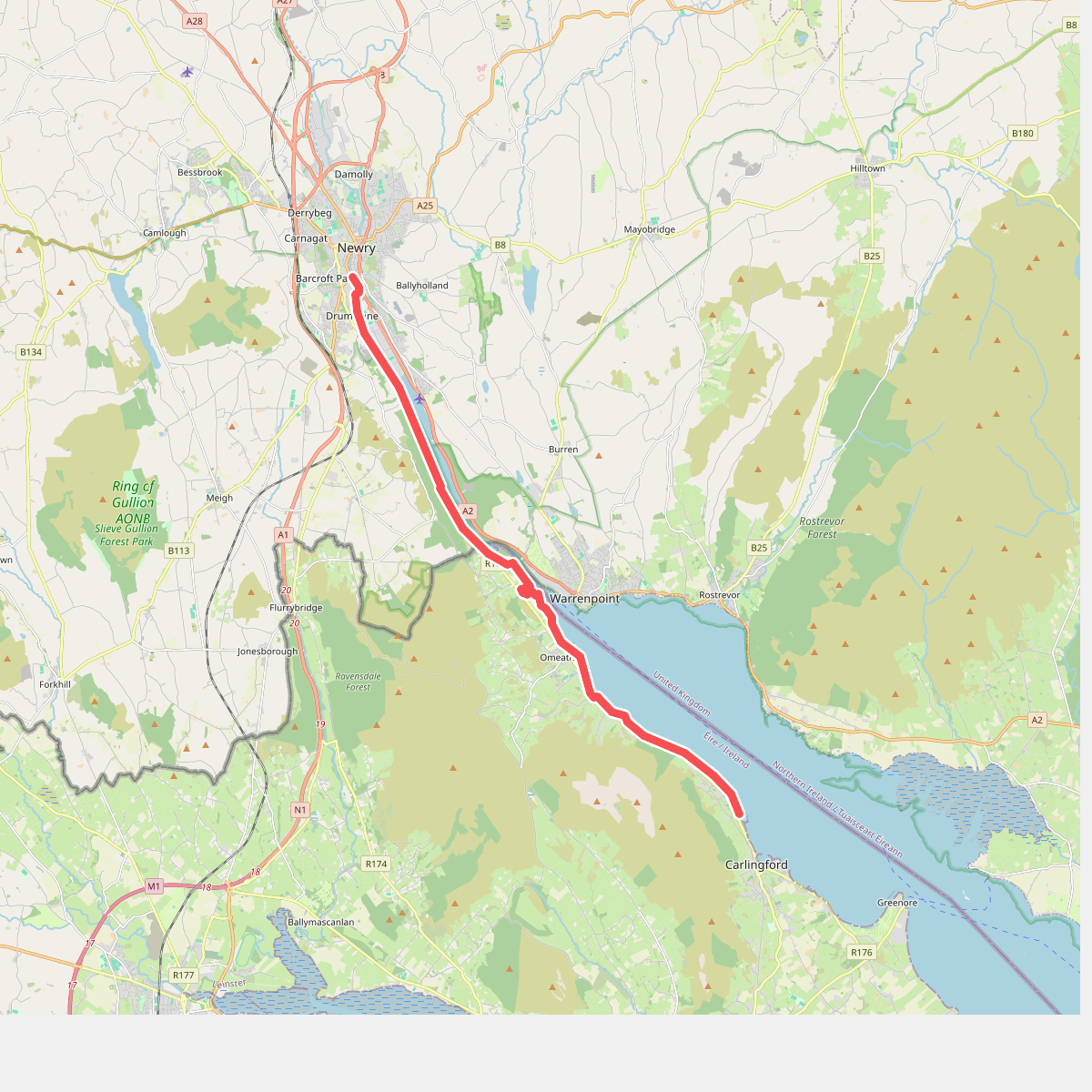
#4. Carlingford Lough Greenway
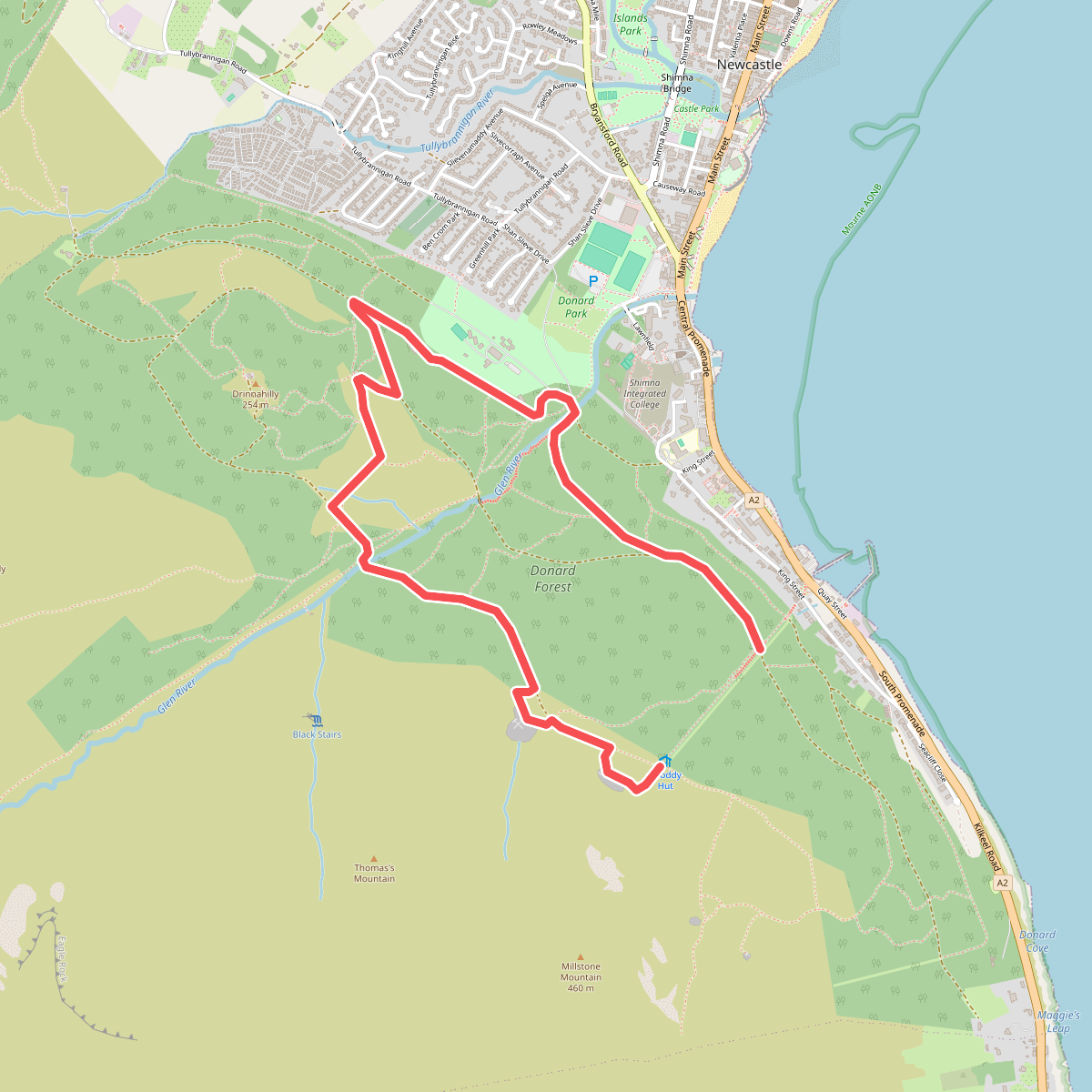
#5. Donard Loop
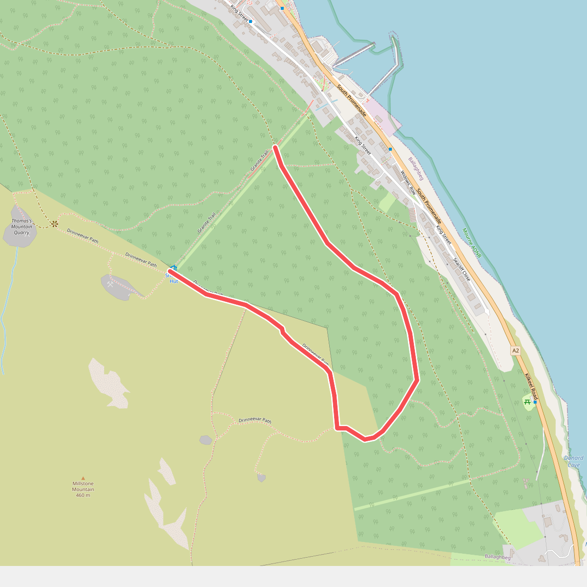
#6. Drinneevar Loop
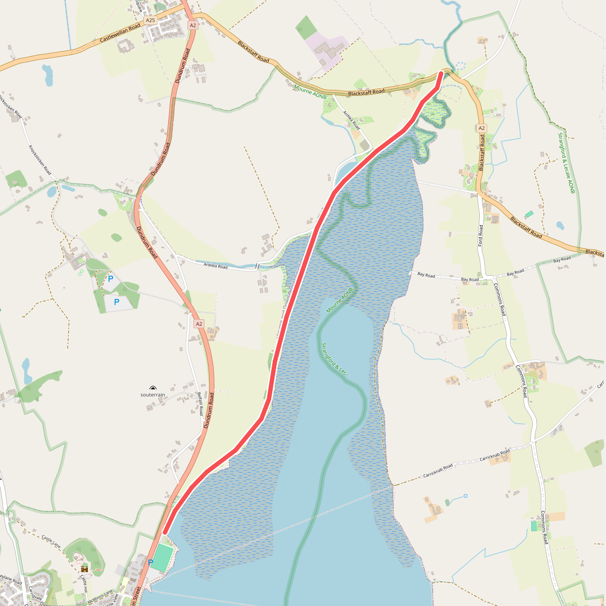
#7. Dundrum Coastal Path, Murlough
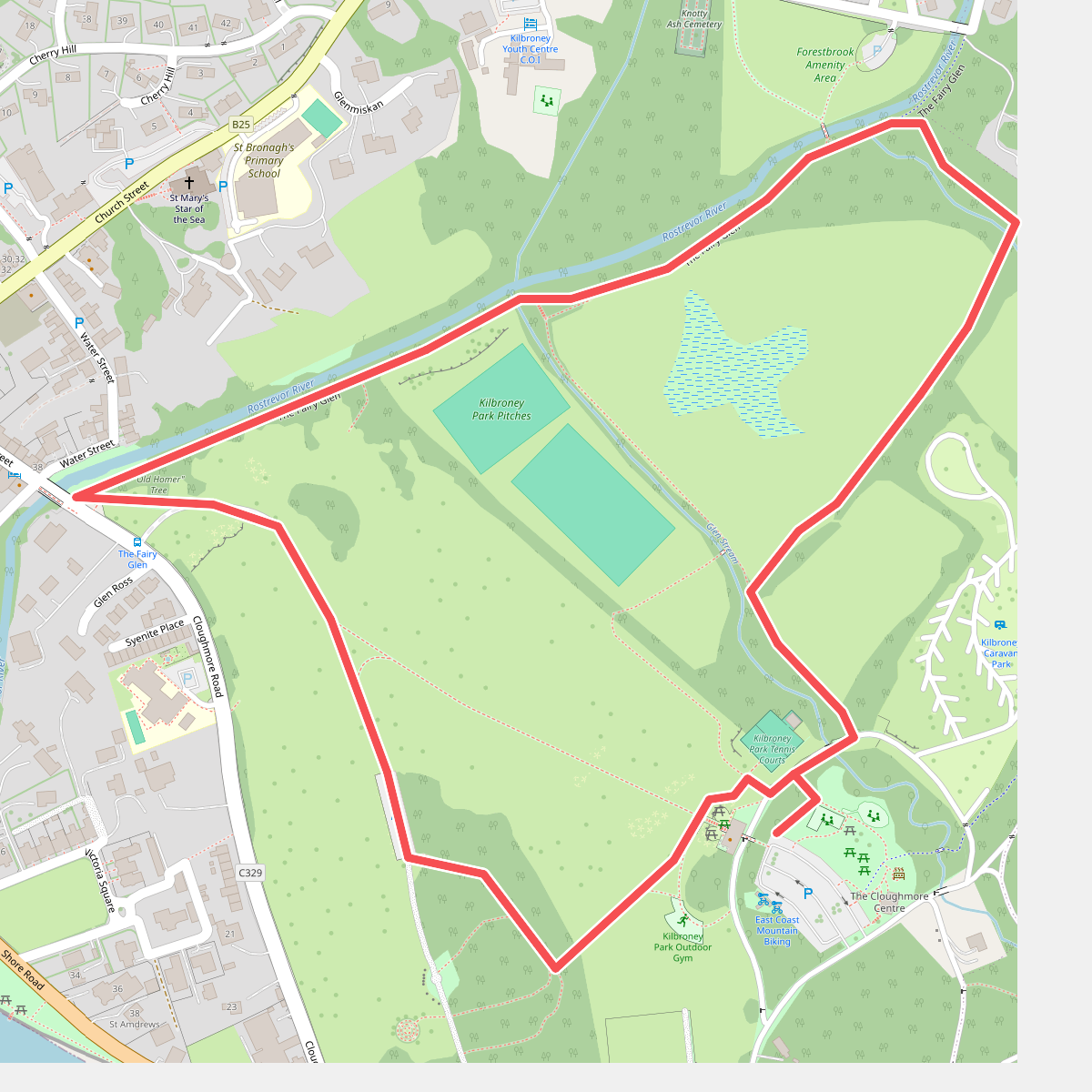
#8. Fairy Glen Trail - long
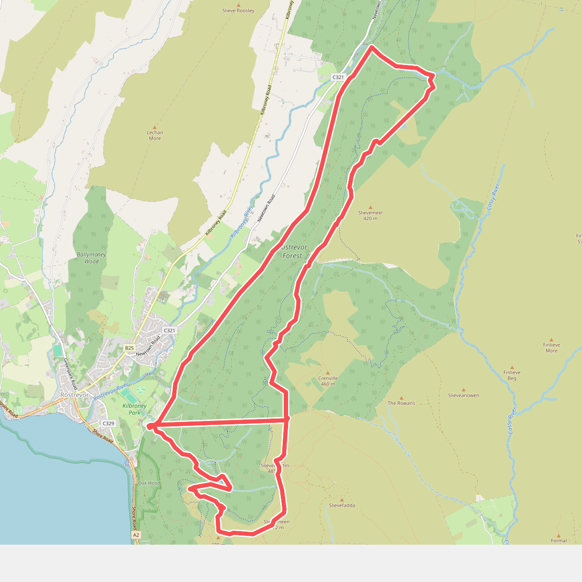
#9. Fallows Trail
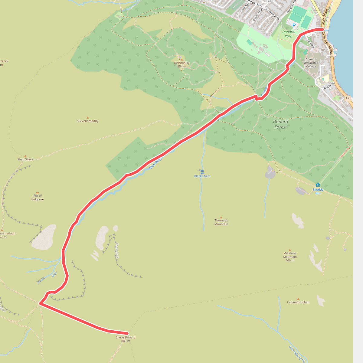
#10. Glen River Trail
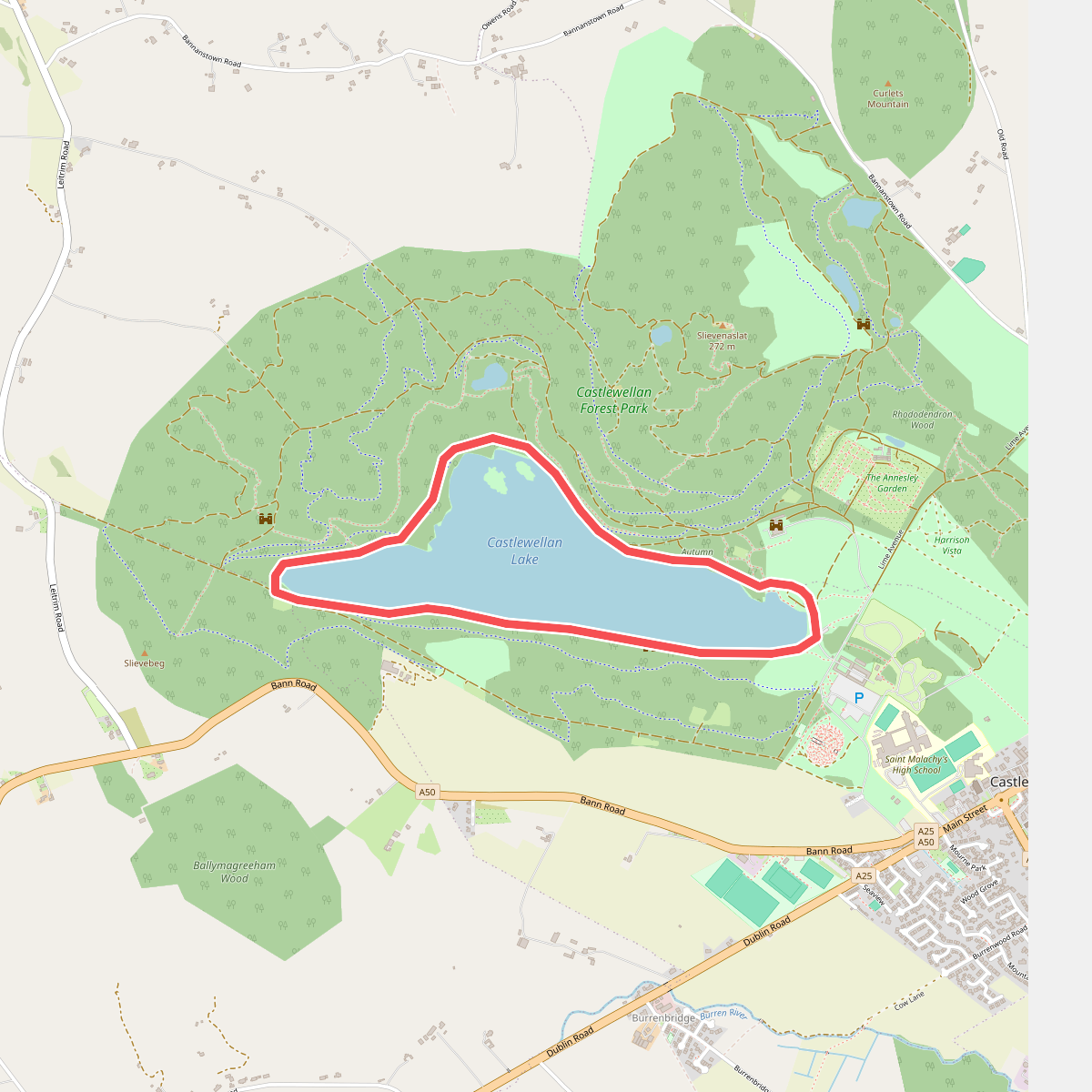
#11. Lakeside Walk