The best hiking routes in Moore der Eider-Treene-Sorge-Niederung
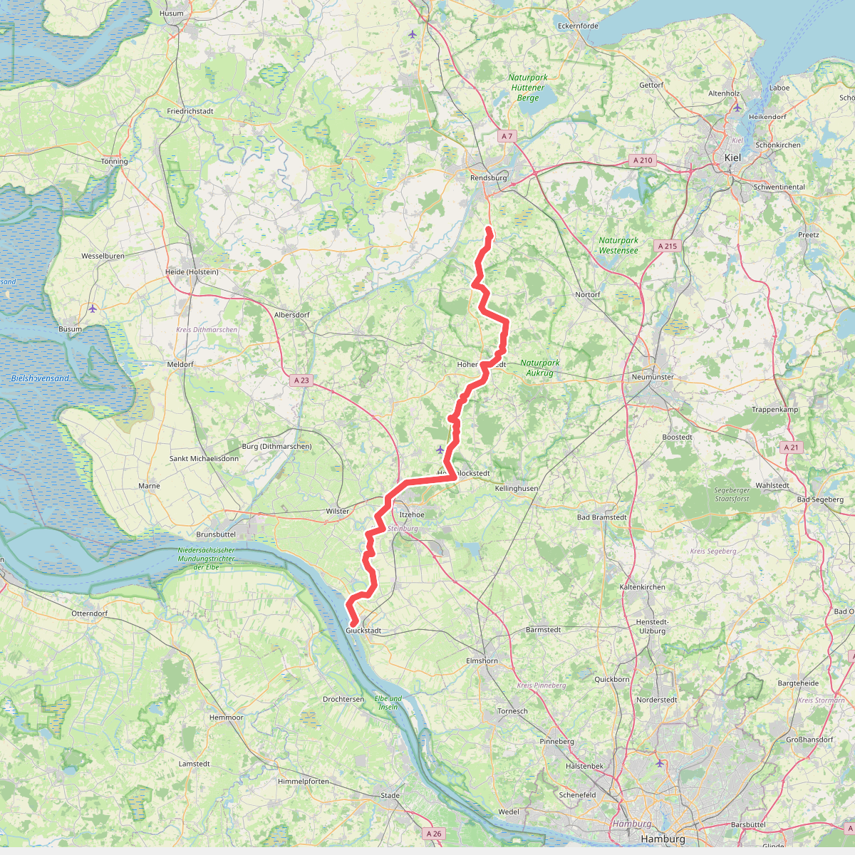
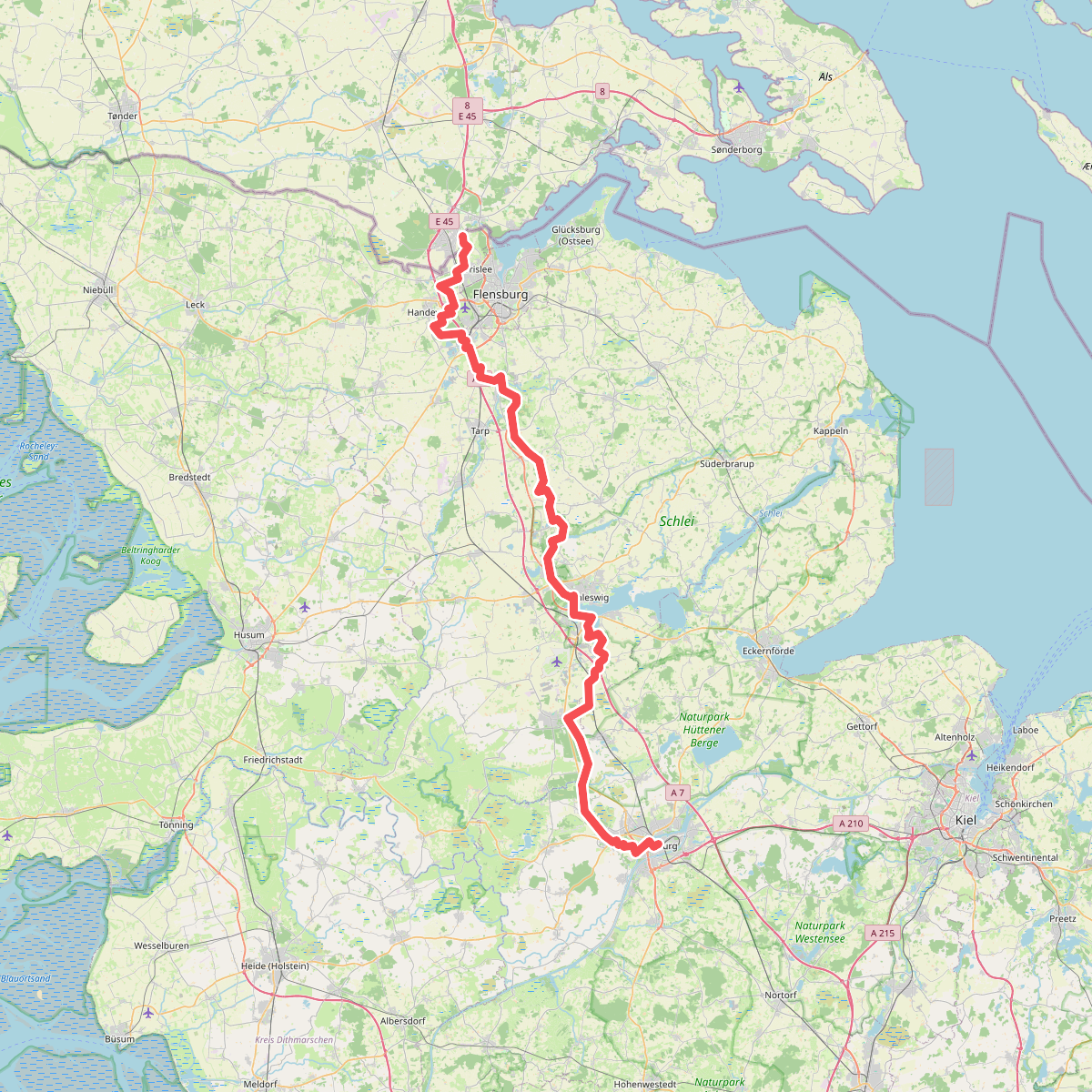
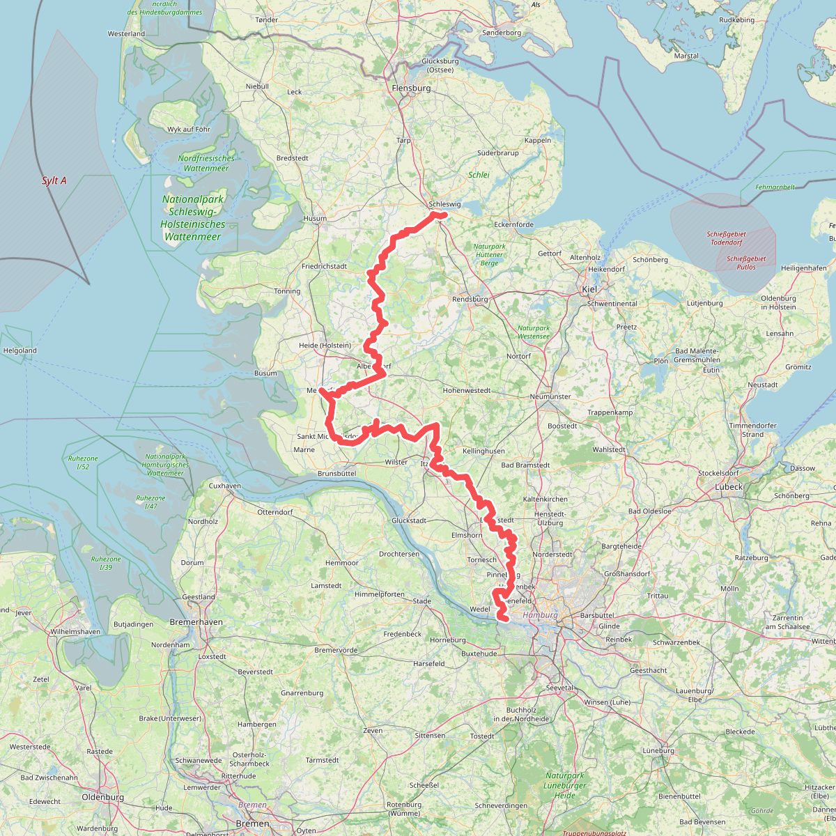
Discover the best walks in Moore der Eider-Treene-Sorge-Niederung. 3 routes on the map, with descriptions, photos and GPX.
About Moore der Eider-Treene-Sorge-Niederung
The Moore der Eider-Treene-Sorge-Niederung is a flat, low-lying river basin shaped by waterlogged peat soils, wet meadows, and raised bogs. Unlike the sandy hills of the neighboring Geest, this landscape is defined by its flatness and drainage ditches. Walkers will find a mix of damp pastureland and restored bog areas where the ground is noticeably soft. It is not a place for dry woodland hikes or rolling hills; the terrain is consistently level and open.
Read more
About Moore der Eider-Treene-Sorge-Niederung
The Moore der Eider-Treene-Sorge-Niederung is a flat, low-lying river basin shaped by waterlogged peat soils, wet meadows, and raised bogs. Unlike the sandy hills of the neighboring Geest, this landscape is defined by its flatness and drainage ditches. Walkers will find a mix of damp pastureland and restored bog areas where the ground is noticeably soft. It is not a place for dry woodland hikes or rolling hills; the terrain is consistently level and open.
Read moreThe Moore der Eider-Treene-Sorge-Niederung is a flat, low-lying river basin shaped by waterlogged peat soils, wet meadows, and raised bogs. Unlike the sandy hills of the neighboring Geest, this landscape is defined by its flatness and drainage ditches. Walkers will find a mix of damp pastureland and restored bog areas where the ground is noticeably soft. It is not a place for dry woodland hikes or rolling hills; the terrain is consistently level and open.
Underfoot, the paths vary between grassy dikes, unpaved farm tracks, and occasional wooden boardwalks designed to keep boots out of the wettest peat. In the wetter sections, the vegetation consists of sphagnum moss, cotton grass, and low birch shrubs, while the agricultural margins feature drainage canals and grazing land. The transition from managed pasture to wild bog is visible in the changing vegetation and the dampness of the soil.
In late summer, particularly in August, the heather patches on the drier bog edges show purple blooms, contrasting with the dark peat pools. The area is generally quiet, though the designated nature trails near the visitor centers attract more visitors than the remote dike paths. Walkers should expect open, exposed tracks with little shelter from trees.