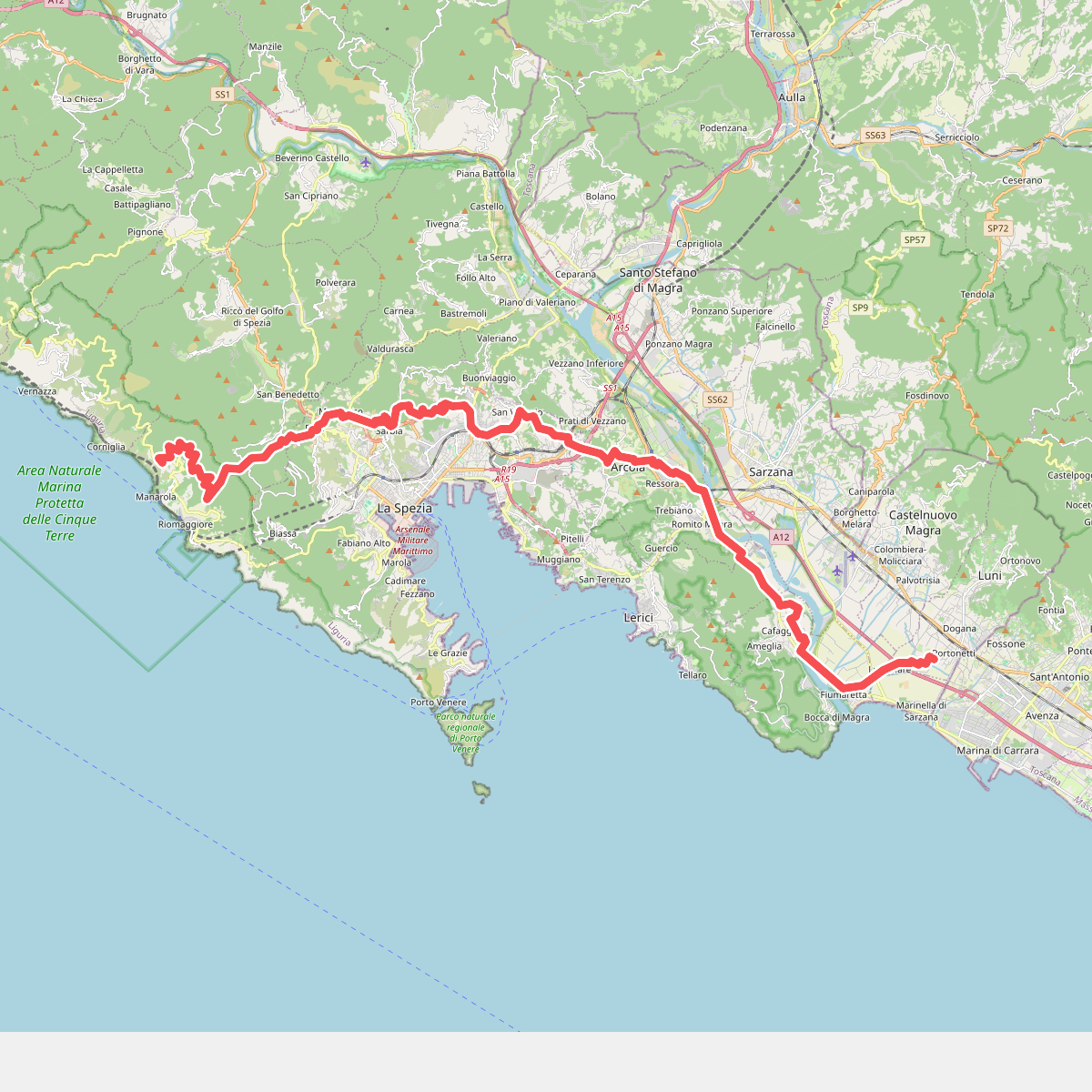
The best hiking routes in Montemarcello - Magra
Discover the best walks in Montemarcello - Magra. 10 routes on the map, with descriptions, photos and GPX.
About Montemarcello - Magra
The Montemarcello - Magra regional park presents a sharp contrast between two distinct environments: a wide, alluvial river valley and a steep, limestone promontory. Along the Magra riverbed, the terrain is flat and composed of gravelly banks, reed beds, and damp riparian woodland. This lower section is shaped by seasonal water levels and human agricultural use, offering wide, open views across the water meadows. It is a working landscape where dirt tracks run alongside active farmland and restored wetlands.
Read more
About Montemarcello - Magra
The Montemarcello - Magra regional park presents a sharp contrast between two distinct environments: a wide, alluvial river valley and a steep, limestone promontory. Along the Magra riverbed, the terrain is flat and composed of gravelly banks, reed beds, and damp riparian woodland. This lower section is shaped by seasonal water levels and human agricultural use, offering wide, open views across the water meadows. It is a working landscape where dirt tracks run alongside active farmland and restored wetlands.
Read moreThe Montemarcello - Magra regional park presents a sharp contrast between two distinct environments: a wide, alluvial river valley and a steep, limestone promontory. Along the Magra riverbed, the terrain is flat and composed of gravelly banks, reed beds, and damp riparian woodland. This lower section is shaped by seasonal water levels and human agricultural use, offering wide, open views across the water meadows. It is a working landscape where dirt tracks run alongside active farmland and restored wetlands.
In contrast, the promontory of Caprione rises abruptly from the valley floor, covered in dense Mediterranean scrub, pine forests, and ancient olive groves. Here, the walking tracks change to stony, uneven mule paths and stepped trails cut into the limestone. The vegetation is thick and fragrant, dominated by holm oak and wild herbs, which limits distant views until the path reaches the cliffs overlooking the Ligurian Sea. This higher ground features dry-stone walls and small stone shelters, showing a long history of terraced farming.
Walkers should expect significant elevation changes when moving between the river basin and the high ridges, with some steep, rocky climbs on the promontory. While the river paths are generally wide and level, the coastal hillside trails require careful footing on loose stones. The area does not offer high alpine peaks or deep wilderness, but rather a compact, varied landscape where industrial valley views quickly give way to quiet, wooded hillsides and coastal cliffs.
Hiking routes in Montemarcello - Magra (10)
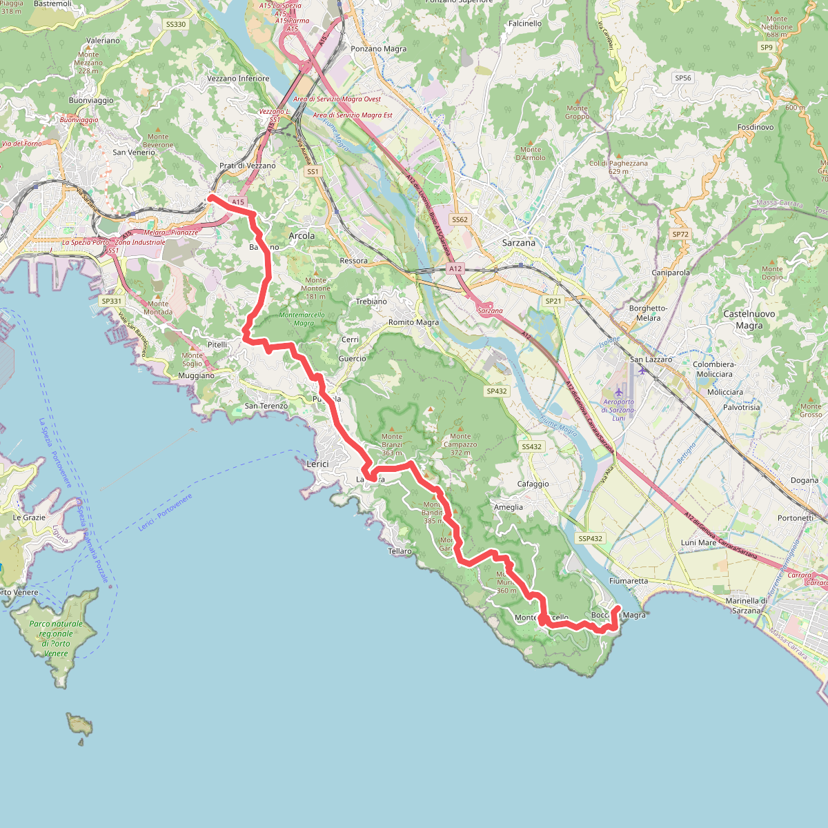
#1. Alta Via del Golfo: Bocca di Magra - Il Termo
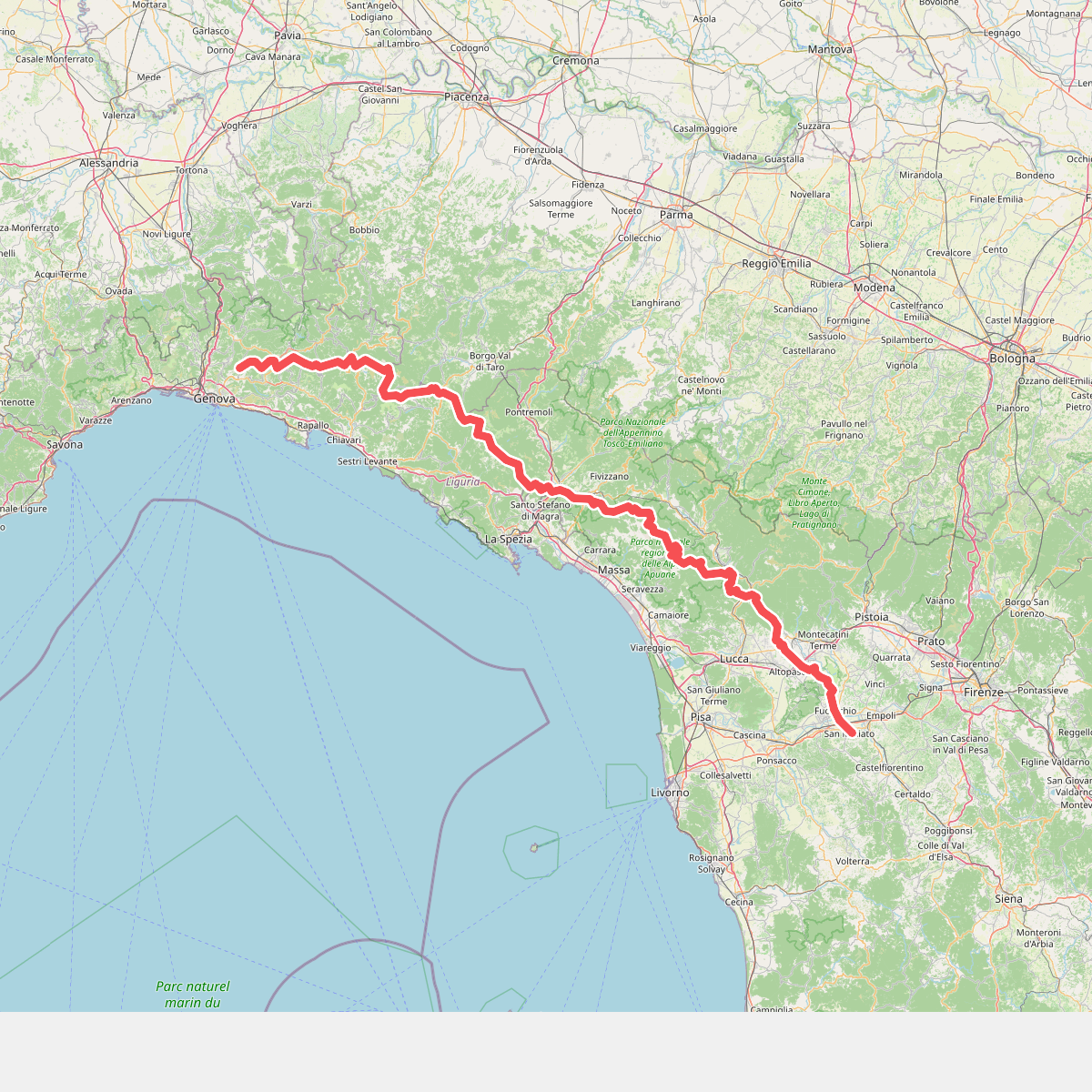
#2. Cammino di Assisi, Genova - San Miniato
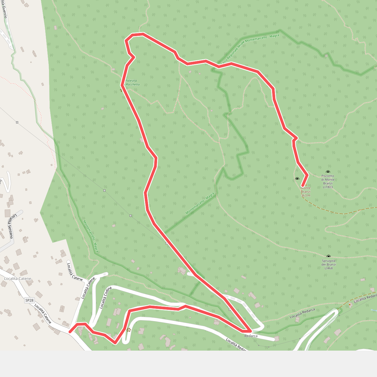
#3. Catene - Canale di Redarca – M. Branzi
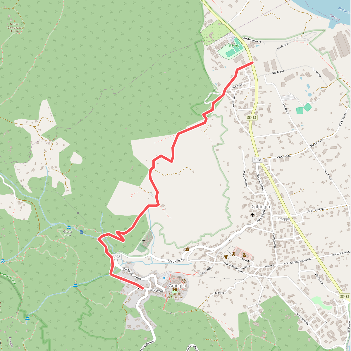
#4. Fiume Magra – Camisano – C. Pianca – Ameglia
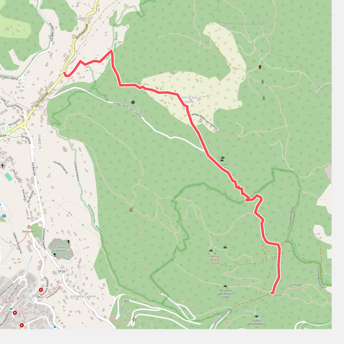
#5. Guercio - Canale Dei Sardi - Case Di Monte Branzi
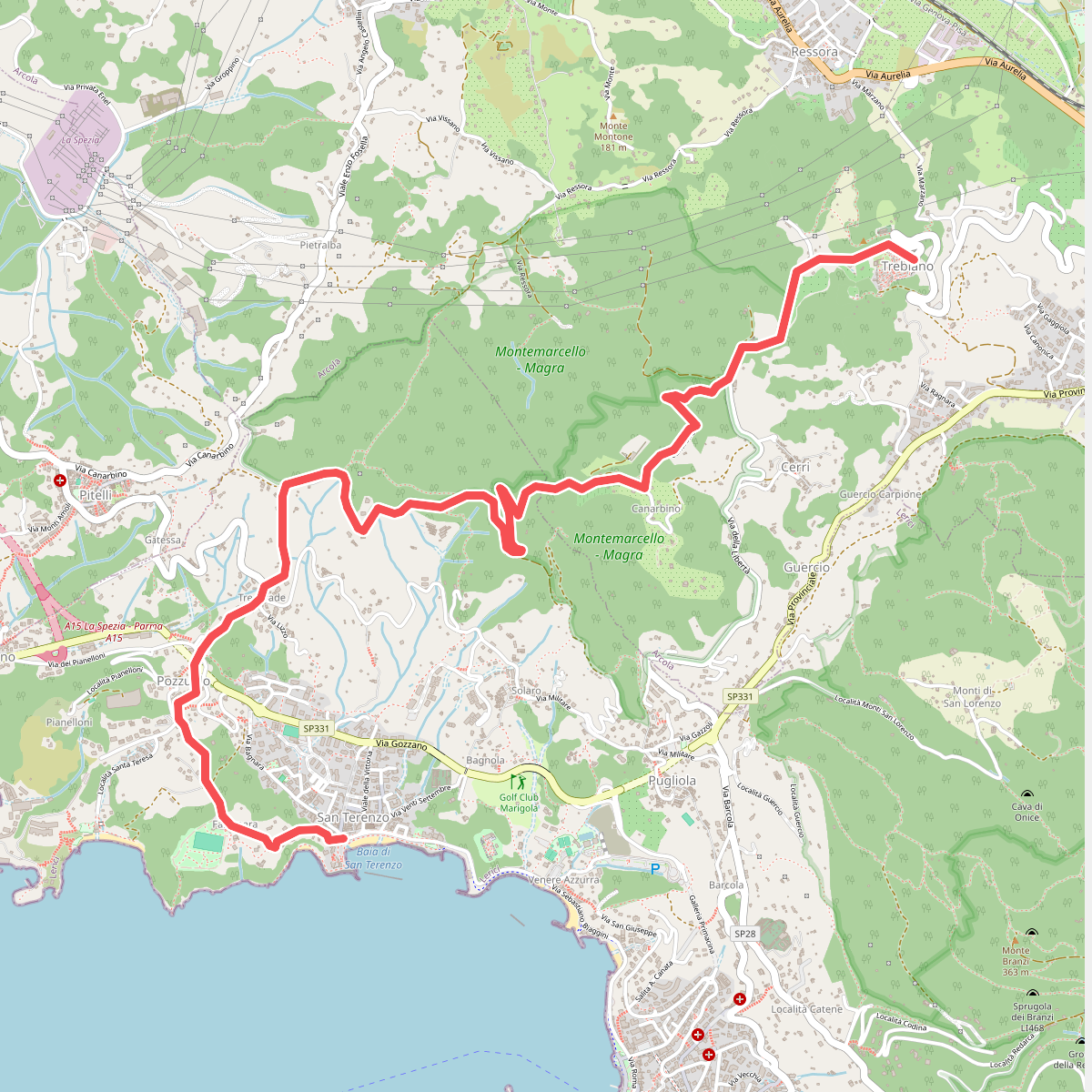
#6. San Terenzo - Pozzuolo – sella Pin Bon – Trebiano
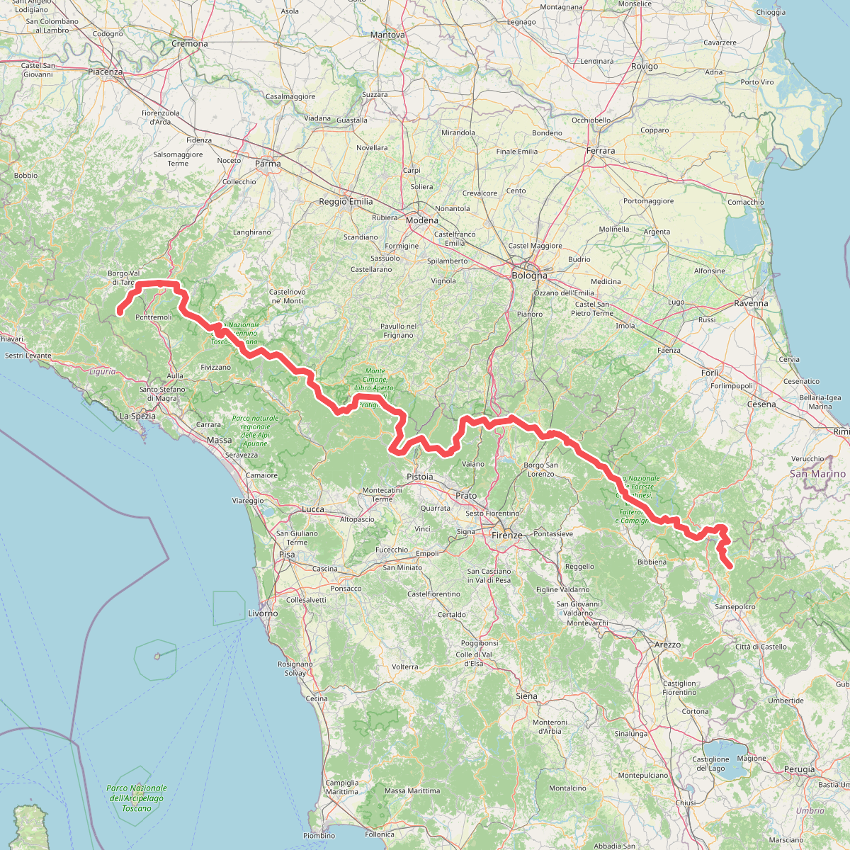
#7. Sentiero di spartiacque appenninico
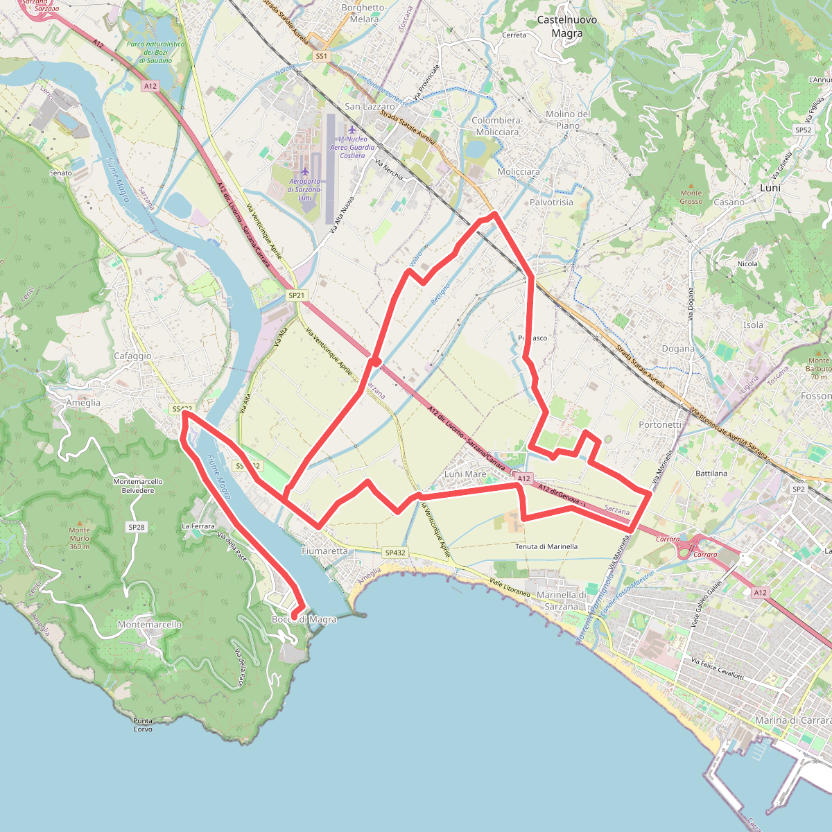
#8. Sentiero Liguria - Tappa 0
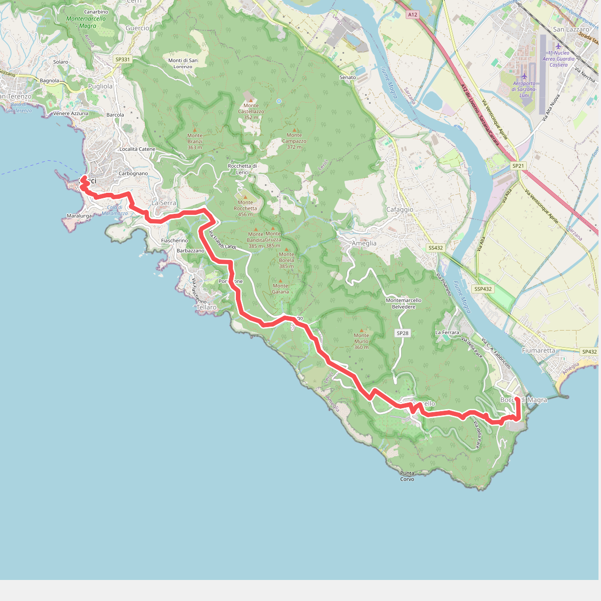
#9. Sentiero Liguria - Tappa 1