The best hiking routes in Montagna di Torricchio
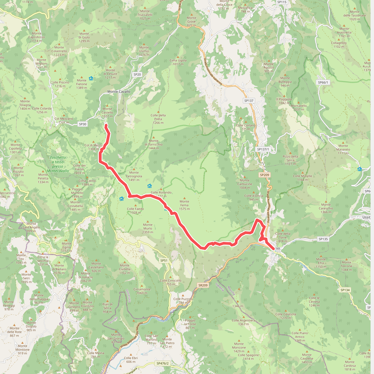
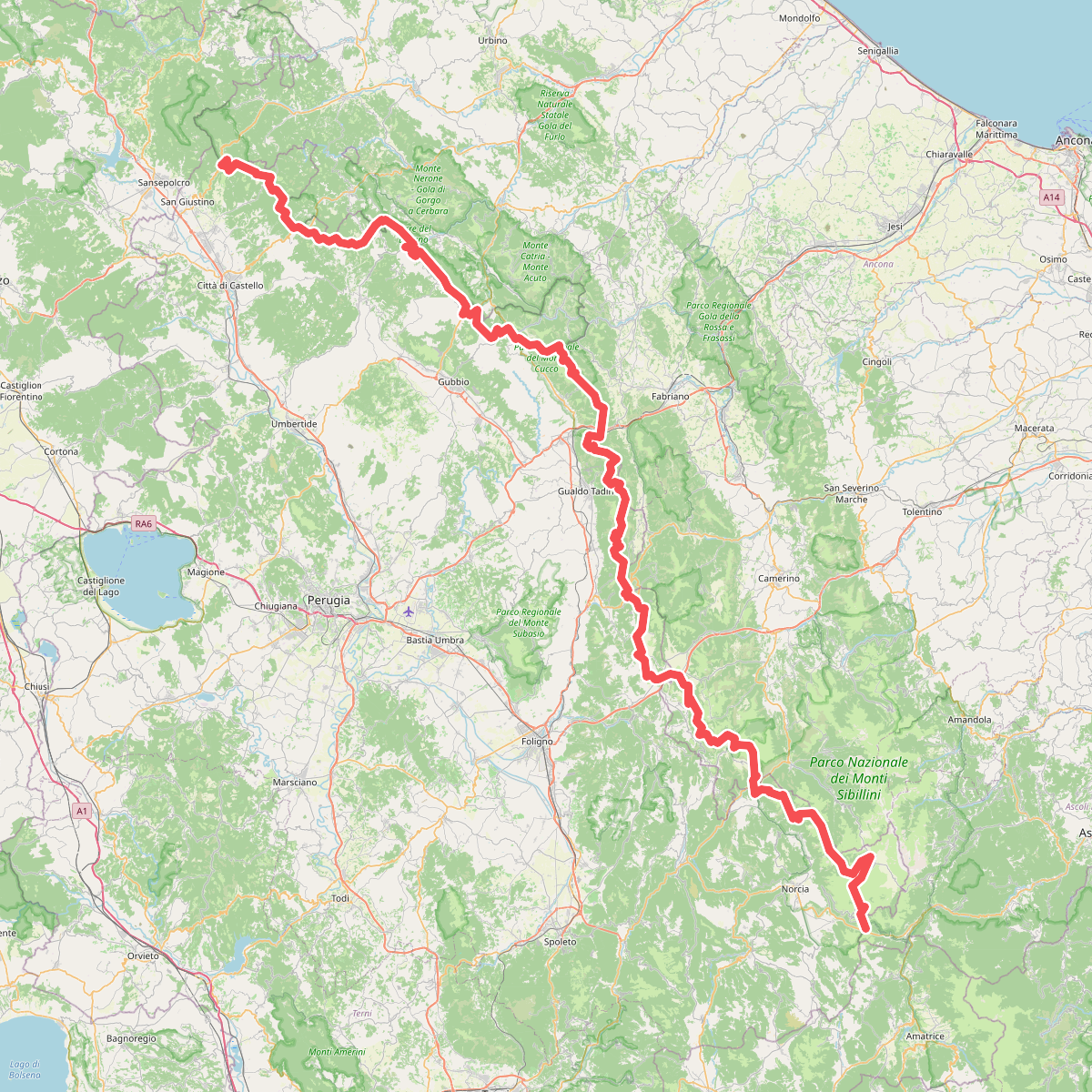
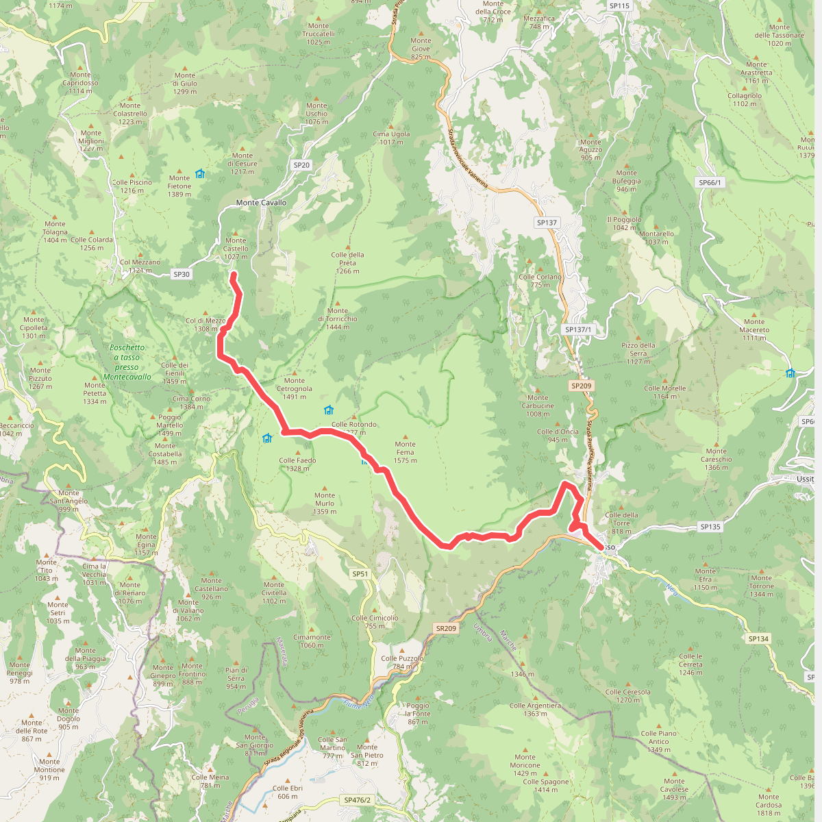
Discover the best walks in Montagna di Torricchio. 3 routes on the map, with descriptions, photos and GPX.
Managed by RN Montagna di Torricchio; UM Marca di Camerino
About Montagna di Torricchio
Montagna di Torricchio is a strictly protected nature reserve in the Apennines of Marche, managed primarily for scientific research. Unlike typical regional parks, this area has no marked hiking trails, visitor centers, or picnic areas. The landscape is defined by a steep limestone gorge, the Val di Tazza, which rises into high-altitude karst pastures and dense beech forests. Because human intervention has been excluded for decades, the woodland contains an unusual amount of decaying fallen timber and standing dead trees, which you will immediately notice compared to managed commercial forests.
Read more
About Montagna di Torricchio
Montagna di Torricchio is a strictly protected nature reserve in the Apennines of Marche, managed primarily for scientific research. Unlike typical regional parks, this area has no marked hiking trails, visitor centers, or picnic areas. The landscape is defined by a steep limestone gorge, the Val di Tazza, which rises into high-altitude karst pastures and dense beech forests. Because human intervention has been excluded for decades, the woodland contains an unusual amount of decaying fallen timber and standing dead trees, which you will immediately notice compared to managed commercial forests.
Read moreMontagna di Torricchio is a strictly protected nature reserve in the Apennines of Marche, managed primarily for scientific research. Unlike typical regional parks, this area has no marked hiking trails, visitor centers, or picnic areas. The landscape is defined by a steep limestone gorge, the Val di Tazza, which rises into high-altitude karst pastures and dense beech forests. Because human intervention has been excluded for decades, the woodland contains an unusual amount of decaying fallen timber and standing dead trees, which you will immediately notice compared to managed commercial forests.
Walking here is restricted to the peripheral dirt tracks and the main gravel path running through the valley floor. Underfoot, the terrain consists of loose limestone scree, rocky outcrops, and rough soil paths that require careful stepping. There are no boardwalks or paved sections. The lower slopes are covered in thick hornbeam and hazel scrub, which gradually gives way to mature beech stands as the elevation increases.
This reserve is not a destination for peak-bagging or casual family strolls, as access to the core zone is restricted to protect the natural regeneration processes. Instead, it offers a direct look at an ecosystem recovering without human interference. In May and June, the upper grasslands show a rich display of wild orchids and mountain wildflowers, while the autumn months bring deep leaf litter to the forest floor.