

The best hiking routes in Mainaue zwischen Eltmann und Haßfurt
Discover the best walks in Mainaue zwischen Eltmann und Haßfurt. 10 routes on the map, with descriptions, photos and GPX.
About Mainaue zwischen Eltmann und Haßfurt
Mainaue zwischen Eltmann und Haßfurt is a flat river valley landscape dominated by the regulated Main river, its old bypassed channels, and artificial gravel lakes. Unlike the nearby forested hills of the Steigerwald or Haßberge, this area is entirely low-lying and open. Walkers will find a mix of wide, paved agricultural tracks, gravel paths along the lake shores, and grassy dykes. The terrain is completely level, offering straightforward walking without any steep gradients or rugged climbs.
Read more
About Mainaue zwischen Eltmann und Haßfurt
Mainaue zwischen Eltmann und Haßfurt is a flat river valley landscape dominated by the regulated Main river, its old bypassed channels, and artificial gravel lakes. Unlike the nearby forested hills of the Steigerwald or Haßberge, this area is entirely low-lying and open. Walkers will find a mix of wide, paved agricultural tracks, gravel paths along the lake shores, and grassy dykes. The terrain is completely level, offering straightforward walking without any steep gradients or rugged climbs.
Read moreMainaue zwischen Eltmann und Haßfurt is a flat river valley landscape dominated by the regulated Main river, its old bypassed channels, and artificial gravel lakes. Unlike the nearby forested hills of the Steigerwald or Haßberge, this area is entirely low-lying and open. Walkers will find a mix of wide, paved agricultural tracks, gravel paths along the lake shores, and grassy dykes. The terrain is completely level, offering straightforward walking without any steep gradients or rugged climbs.
The landscape is shaped by human intervention, which is visible in the straight lines of the shipping canal contrasting with the curved, willow-lined banks of the original river loops. Large gravel extraction pits have been converted into quiet lakes, some left to natural succession with dense reed beds, while others are used for local recreation. Wet meadows and pastureland fill the spaces between the water bodies, meaning the view from the path constantly shifts between open water, damp grasslands, and patches of alluvial woodland.
Underfoot, the paths are generally firm, though the grassy sections along the dykes can be soft. While the main gravel tracks are easy to navigate, the smaller paths closer to the old river arms can feel more enclosed by vegetation. In late spring, particularly in May, the meadows are bright with wildflowers, and the birdlife in the reed beds is highly active. It is a practical choice for those seeking an easy, water-rich walk rather than a deep forest hike.
Hiking routes in Mainaue zwischen Eltmann und Haßfurt (10)
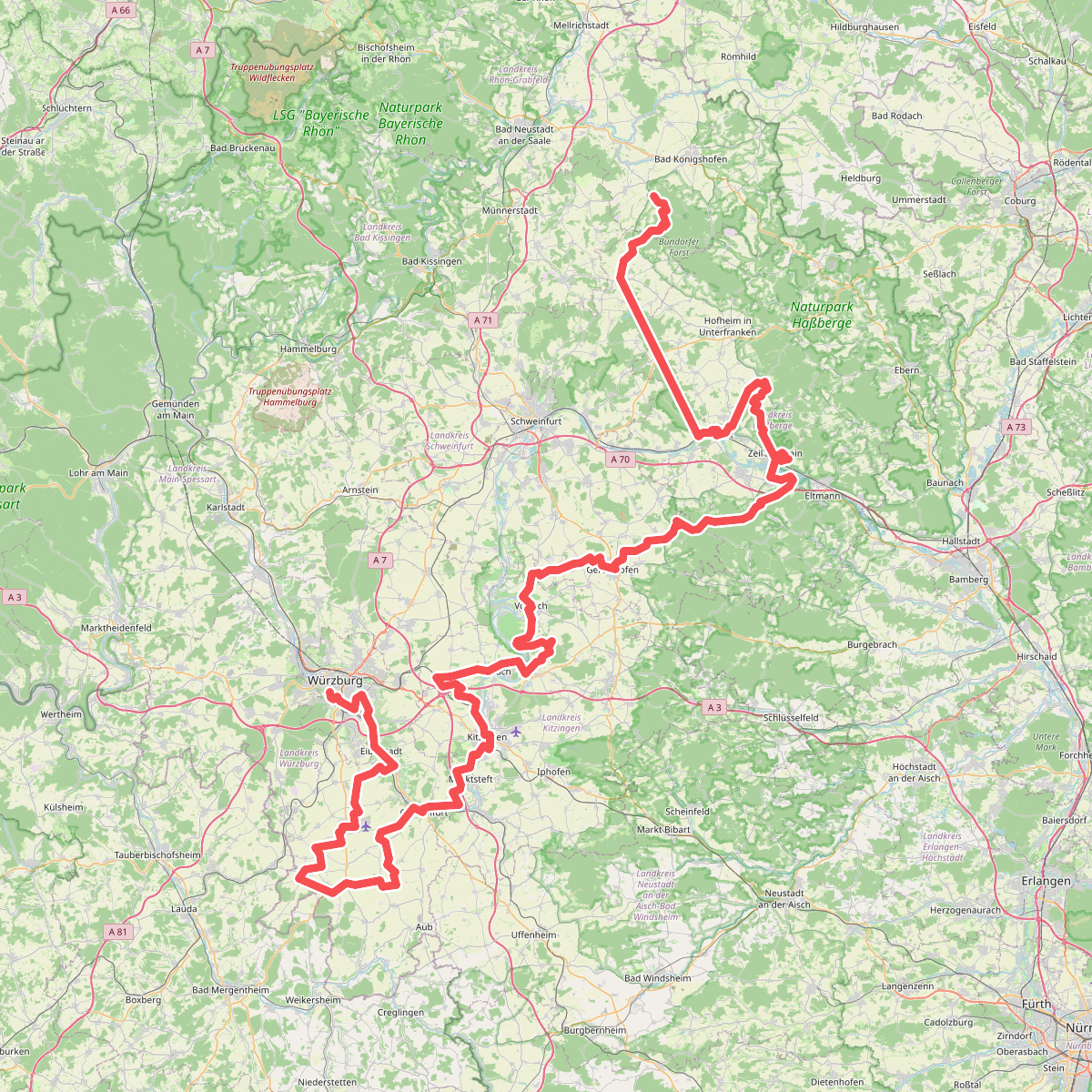
#1. Fränkischer Marienweg Route 3
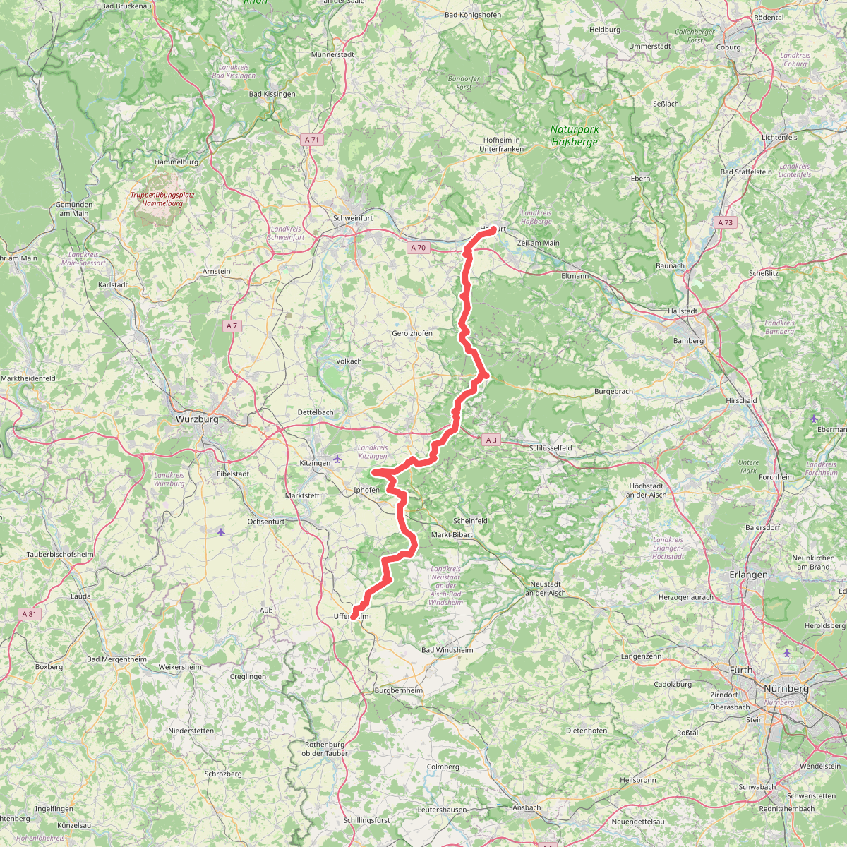
#2. Johann-Ludwig-Klarmann-Weg
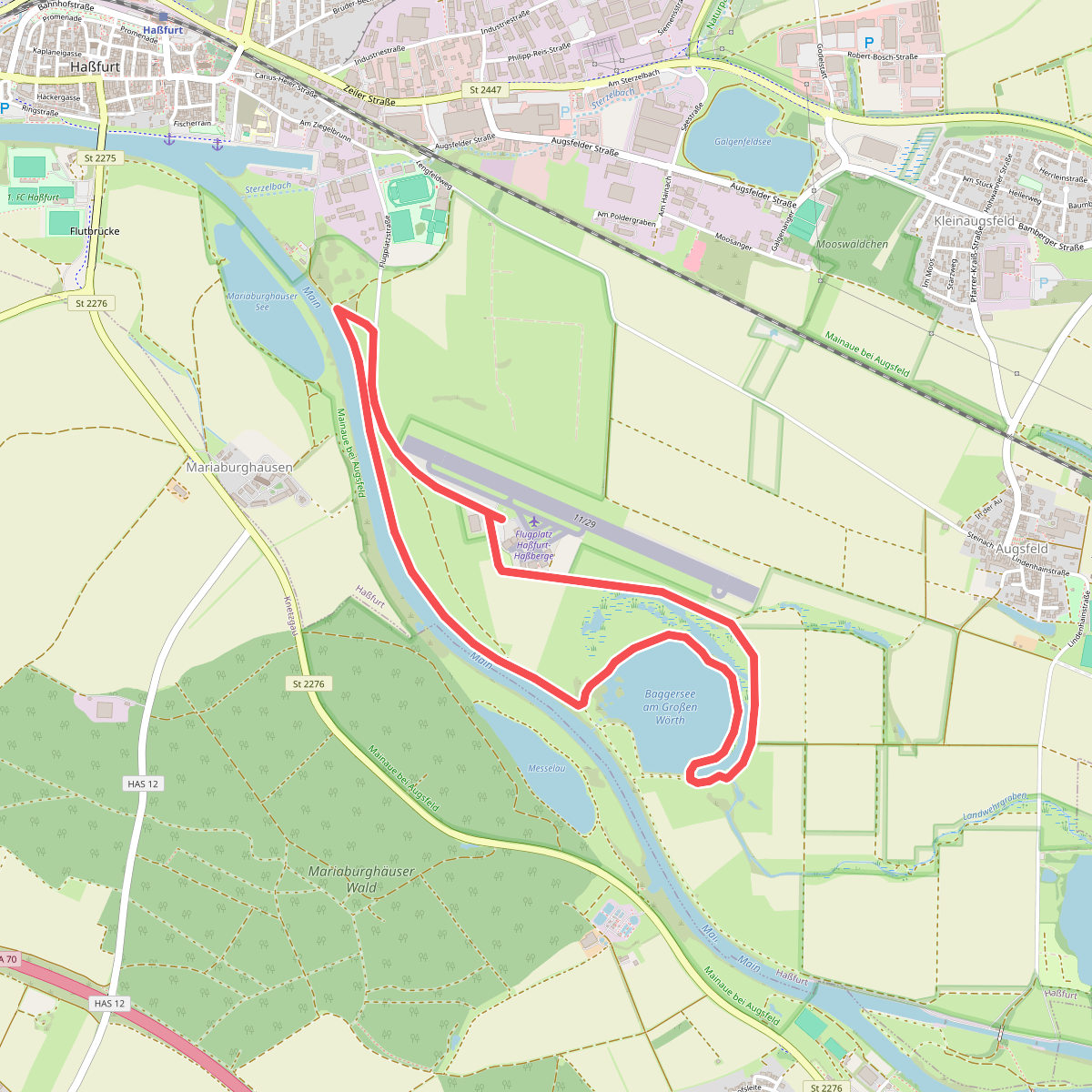
#3. Lauftour HAS4
Haßfurt
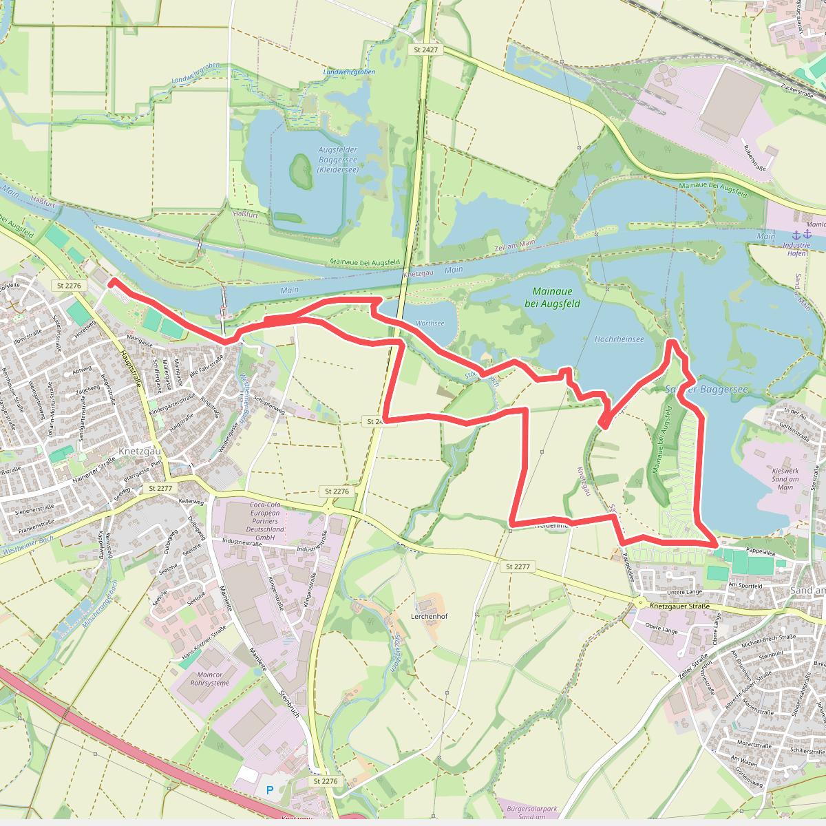
#4. Lauftour KNE1
Knetzgau,Sand a. Main
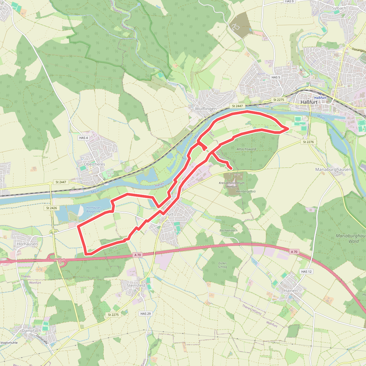
#5. Lauftour WON1
Haßfurt,Wonfurt
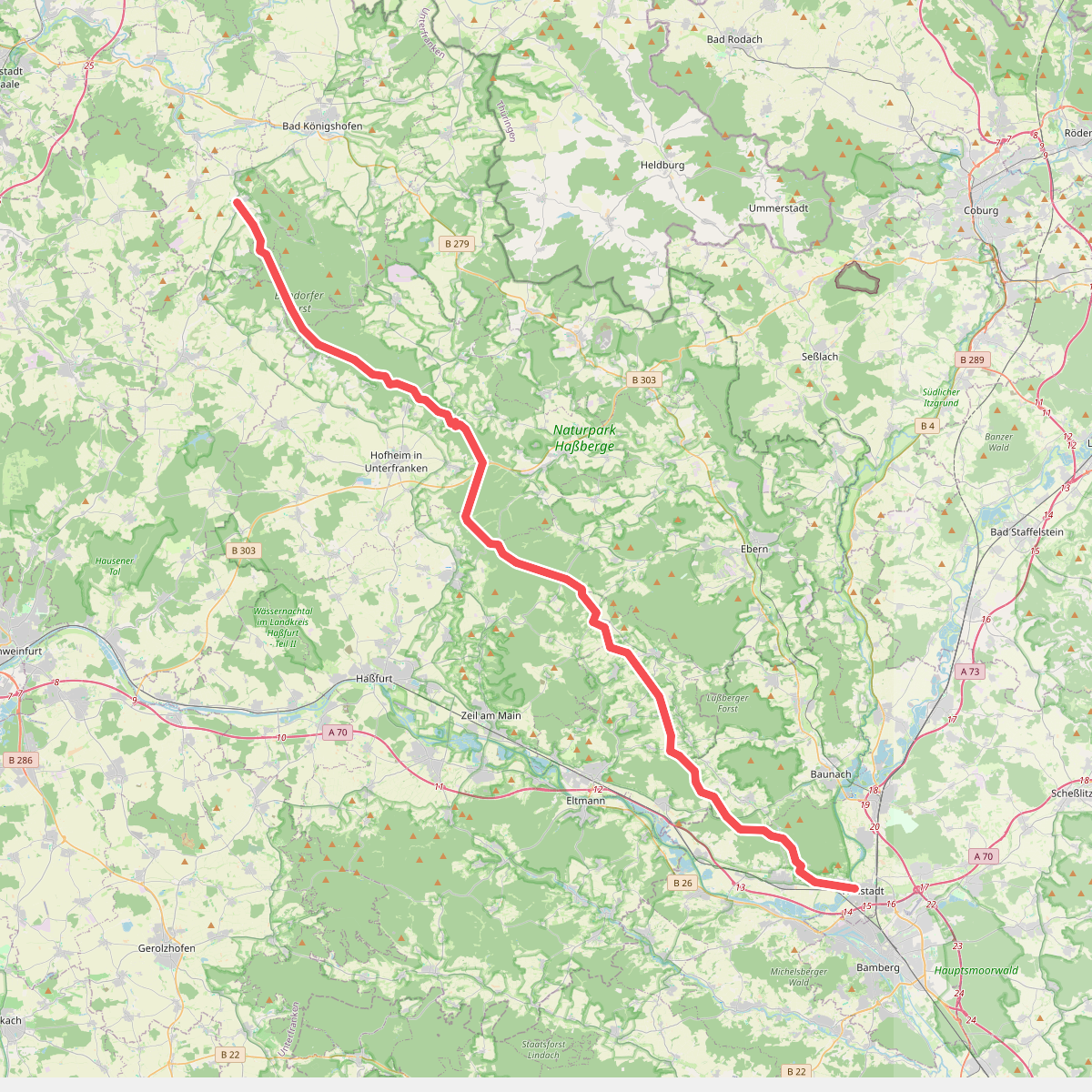
#6. Rennweg Haßberge
Hallstadt,Oberhaid,Lauter,Stettfeld,Ebelsbach,Breitbrunn,Kirchlauter,Königsberg in Bayern,Ebern,Hofheim in Unterfranken,Bundorf,Bundorfer Forst,Sulzfelder Forst,Sulzfeld
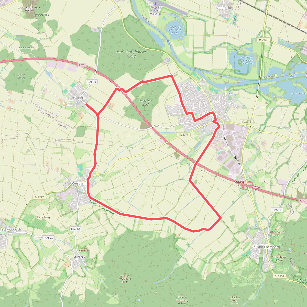
#7. Rundwanderweg Knetzgau K 3
Knetzgau
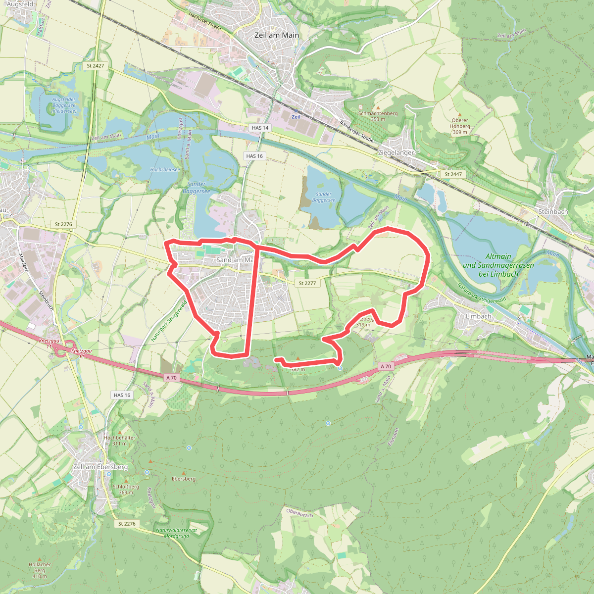
#8. Rundwanderweg Sand S2
Sand a. Main,Eltmann
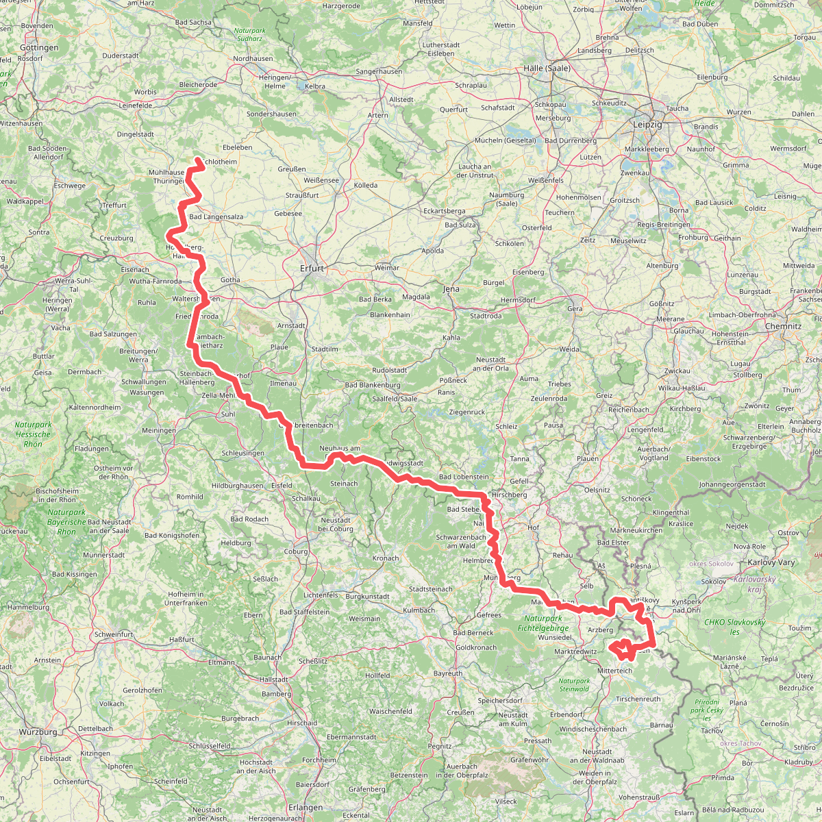
#9. Via Porta
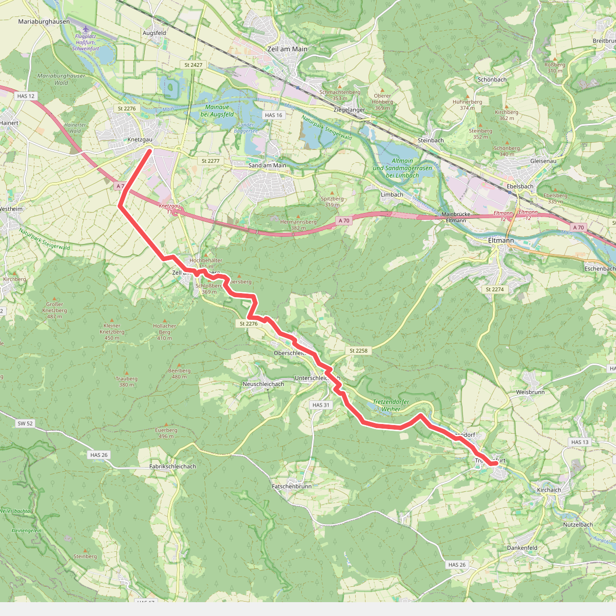
#10. Wanderweg Blaue Raute von Knetzgau nach Trossenfurt
Knetzgau,Sand a. Main,Oberaurach



