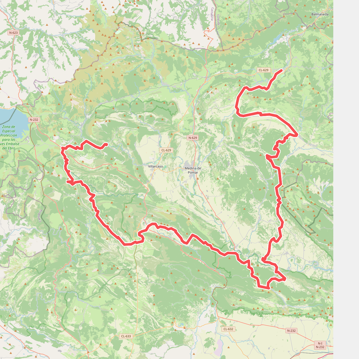
The best hiking routes in Lugar de Importancia Comunitaria de Ojo Guareña
Discover the best walks in Lugar de Importancia Comunitaria de Ojo Guareña. 16 routes on the map, with descriptions, photos and GPX.
About Lugar de Importancia Comunitaria de Ojo Guareña
Lugar de Importancia Comunitaria de Ojo Guareña is a limestone karst landscape in northern Spain, defined by its massive underground cave network rather than high mountain peaks. On the surface, walkers will find a dry, scrubby terrain of holm oak and gall oak forests, interspersed with bare limestone pavements and steep-sided gorges. The area lacks the dramatic alpine summits of the nearby Cantabrian range, offering instead a gently rolling plateau cut by deep, rocky canyons where rivers disappear directly into the sinkholes.
Read more
About Lugar de Importancia Comunitaria de Ojo Guareña
Lugar de Importancia Comunitaria de Ojo Guareña is a limestone karst landscape in northern Spain, defined by its massive underground cave network rather than high mountain peaks. On the surface, walkers will find a dry, scrubby terrain of holm oak and gall oak forests, interspersed with bare limestone pavements and steep-sided gorges. The area lacks the dramatic alpine summits of the nearby Cantabrian range, offering instead a gently rolling plateau cut by deep, rocky canyons where rivers disappear directly into the sinkholes.
Read moreLugar de Importancia Comunitaria de Ojo Guareña is a limestone karst landscape in northern Spain, defined by its massive underground cave network rather than high mountain peaks. On the surface, walkers will find a dry, scrubby terrain of holm oak and gall oak forests, interspersed with bare limestone pavements and steep-sided gorges. The area lacks the dramatic alpine summits of the nearby Cantabrian range, offering instead a gently rolling plateau cut by deep, rocky canyons where rivers disappear directly into the sinkholes.
Underfoot, the paths vary between stony, uneven limestone tracks that require careful stepping and softer, dirt paths through the wooded valleys. The contrast between the arid, sun-baked limestone cliffs and the cooler, shaded woodland floors is a constant feature of the walks here. You will notice how the vegetation changes abruptly from drought-resistant shrubs on the exposed heights to denser, greener canopy cover in the sinkholes and gorge bottoms where moisture accumulates.
In autumn, particularly during October, the deciduous patches of oak and beech turn deep orange, contrasting sharply with the grey limestone cliffs. The area around the main cave entrances can attract visitors interested in the cultural sites, but the wider network of trails across the limestone plateau remains a quiet, rugged landscape where the geological structure of the karst is visible in every sinkhole and rocky outcrop.
Hiking routes in Lugar de Importancia Comunitaria de Ojo Guareña (16)
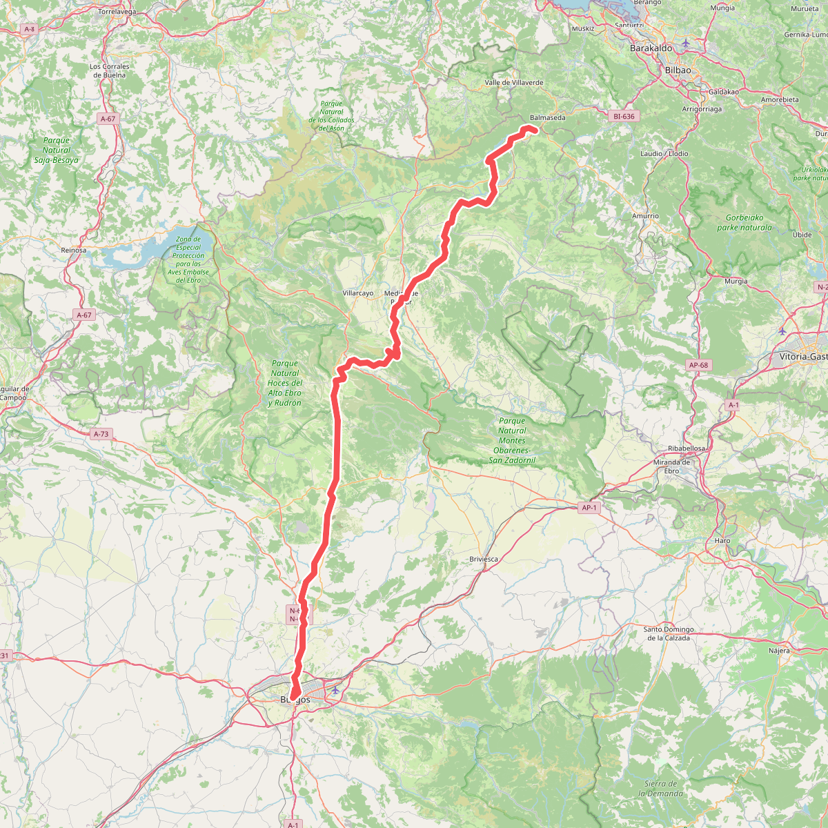
#1. Camino de Las Merindades
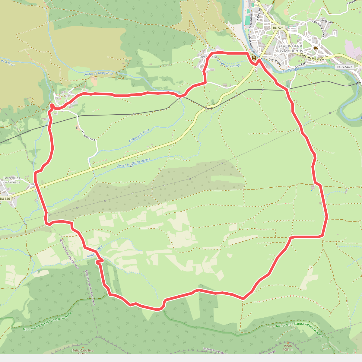
#2. Camino de Noceda
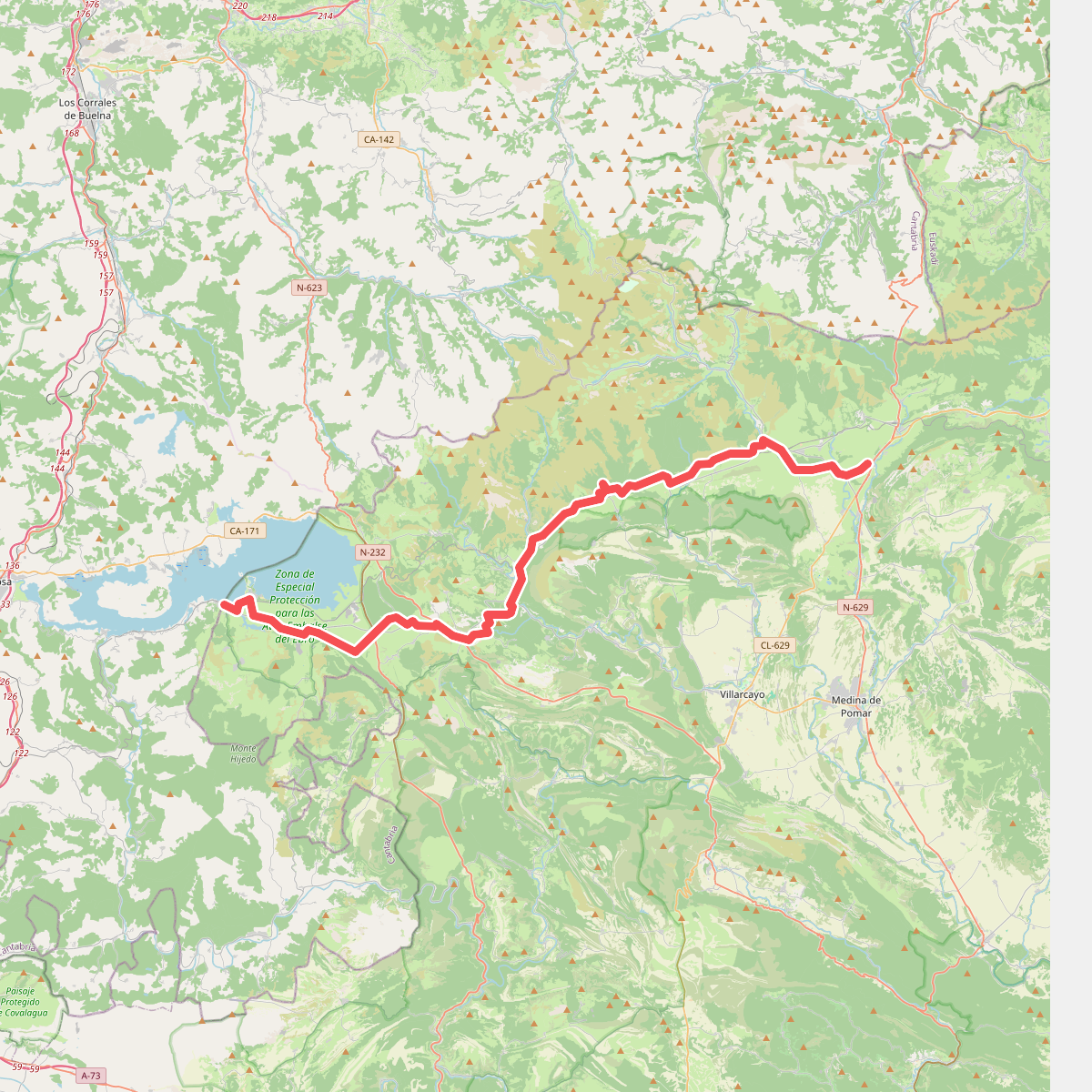
#3. Camino Olvidado (Villasante-Bimón)
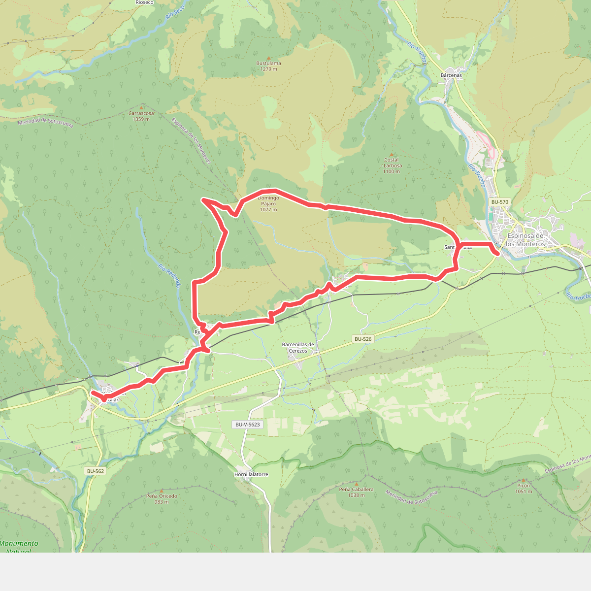
#4. Caminos de Sonsierra
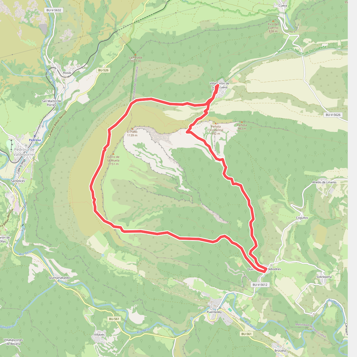
#5. Canales de Dulla
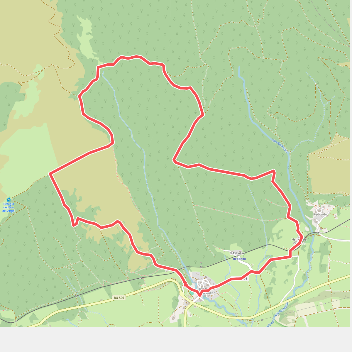
#6. El hayal de Quintanilla y la Fuente de Uemas
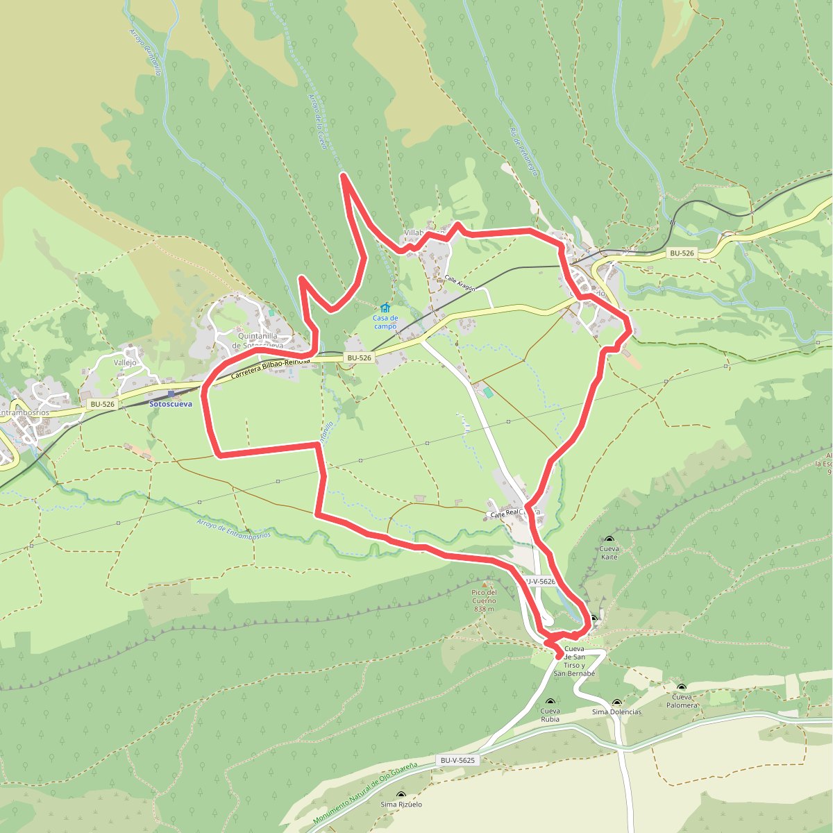
#7. El Valle
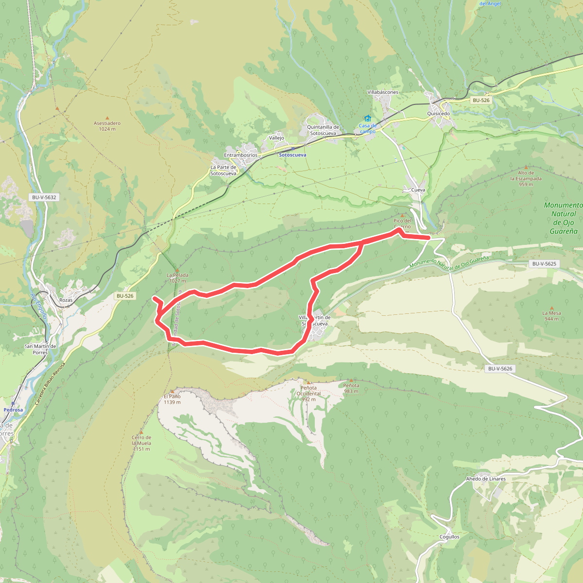
#8. El Ventanón
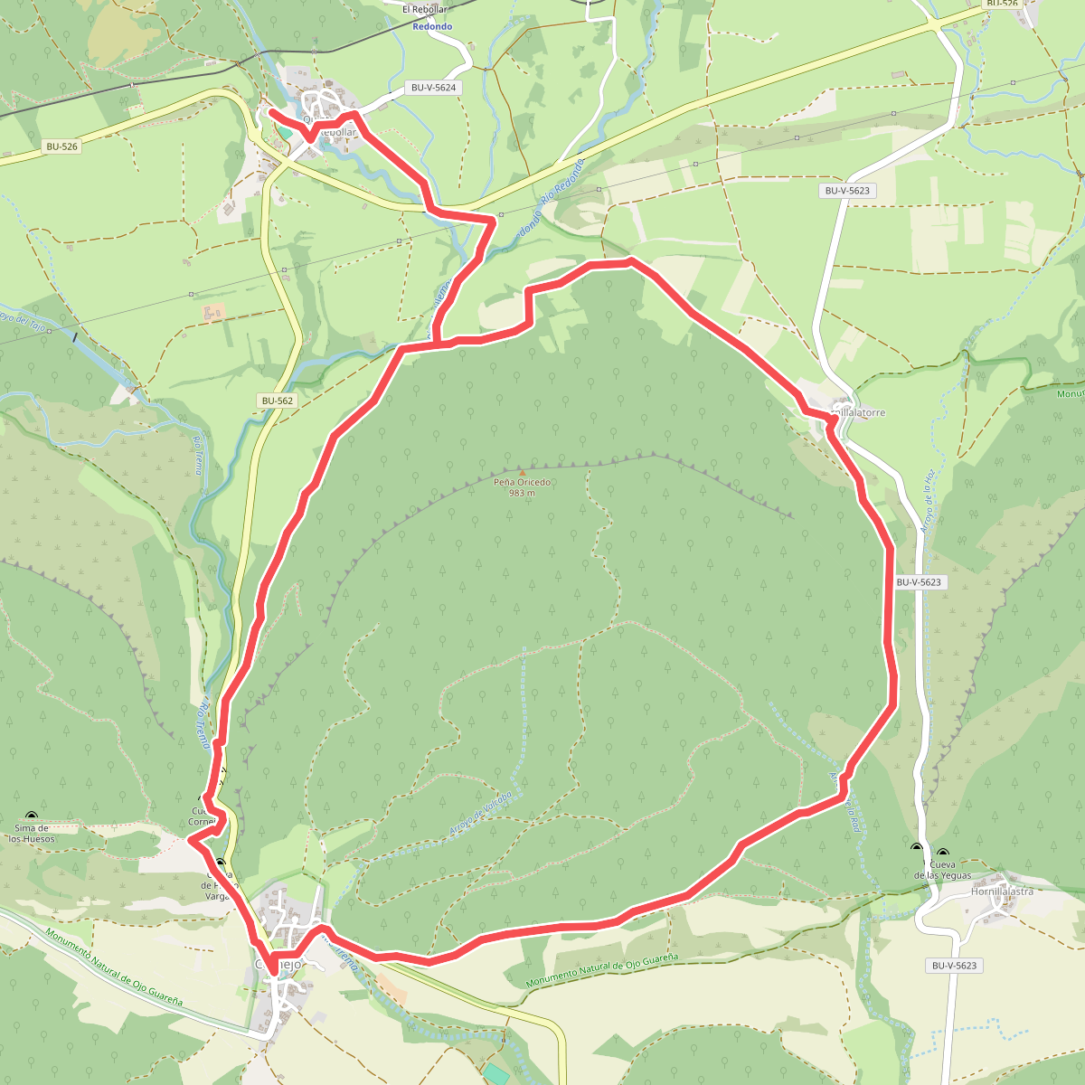
#9. Entre desfiladeros
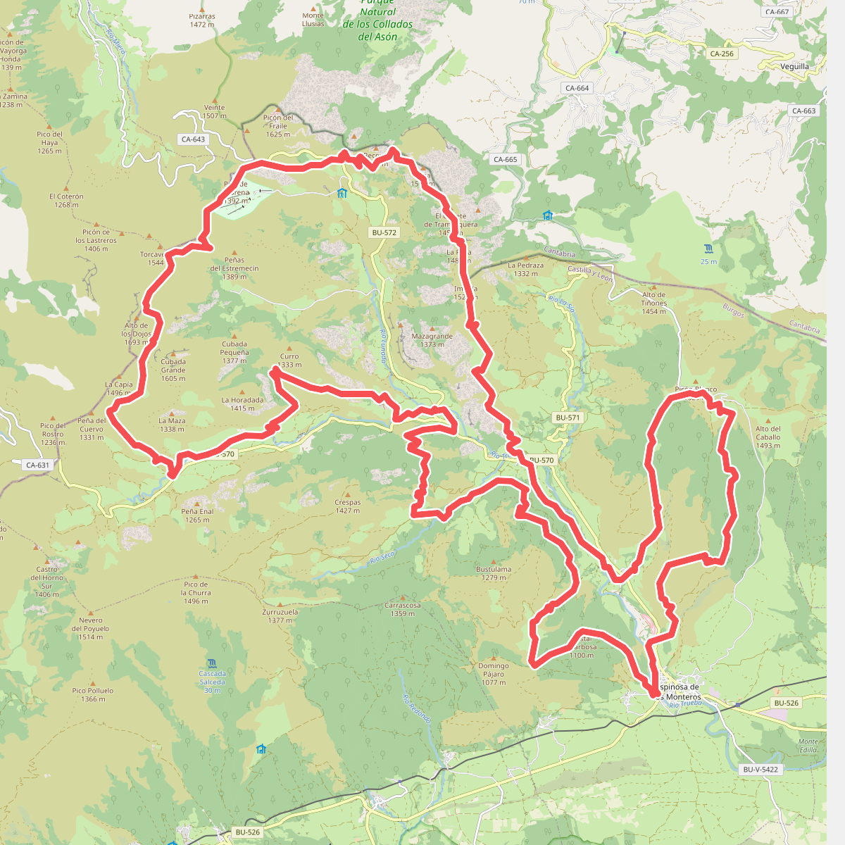
#10. Picón Castro – UTPC66 Ultra Trail
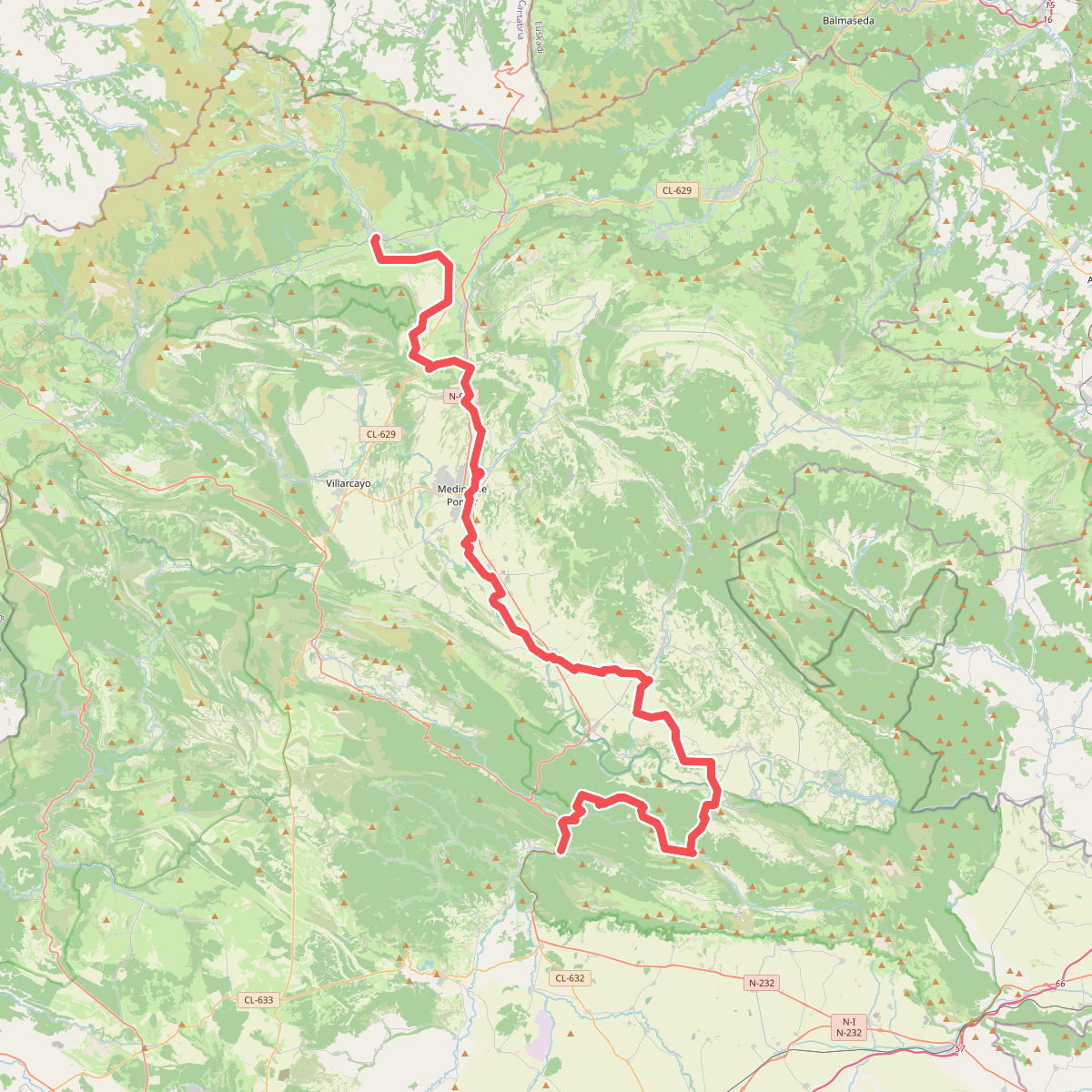
#11. Ruta de los Monteros del Rey