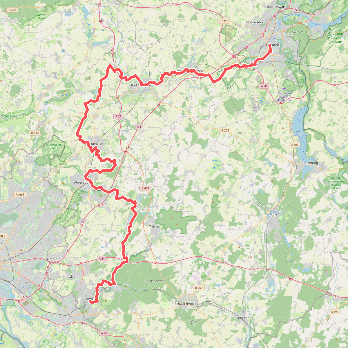
The best hiking routes in LSG Trave
Discover the best walks in LSG Trave. 6 routes on the map, with descriptions, photos and GPX.
About LSG Trave
LSG Trave covers the river valley of the Trave, characterized by a mix of damp alluvial forests, wet meadows, and steep, wooded slopes. Unlike flatter agricultural plains nearby, this protected area features a winding riverbed where the water has carved deep into the glacial moraine landscape. Walkers will notice a distinct contrast between the low-lying, muddy floodplains near the water and the dry, beech-dominated forest tracks that climb the valley sides. This topography means paths can transition quickly from soft, silty earth to firm, root-crossed forest soil.
Read more
About LSG Trave
LSG Trave covers the river valley of the Trave, characterized by a mix of damp alluvial forests, wet meadows, and steep, wooded slopes. Unlike flatter agricultural plains nearby, this protected area features a winding riverbed where the water has carved deep into the glacial moraine landscape. Walkers will notice a distinct contrast between the low-lying, muddy floodplains near the water and the dry, beech-dominated forest tracks that climb the valley sides. This topography means paths can transition quickly from soft, silty earth to firm, root-crossed forest soil.
Read moreLSG Trave covers the river valley of the Trave, characterized by a mix of damp alluvial forests, wet meadows, and steep, wooded slopes. Unlike flatter agricultural plains nearby, this protected area features a winding riverbed where the water has carved deep into the glacial moraine landscape. Walkers will notice a distinct contrast between the low-lying, muddy floodplains near the water and the dry, beech-dominated forest tracks that climb the valley sides. This topography means paths can transition quickly from soft, silty earth to firm, root-crossed forest soil.
The vegetation reflects this elevation change. Along the riverbanks, alder and willow trees thrive in the damp ground, while the higher slopes are dominated by mature beech and oak trees that keep the forest floor shaded. In spring, around April, the woodland floor on these slopes is covered with early-blooming wildflowers before the canopy closes. The area is managed to allow natural decay, so walkers will frequently encounter fallen logs and standing deadwood alongside the trails.
This is a river valley landscape rather than an open heath or a deep gorge. The climbs are short but steep, requiring some care on the dirt paths that can become slippery after rain. While some sections near the towns have gravel paths, the interior of the valley relies on natural, unpaved footpaths. It is a suitable choice for those who prefer enclosed woodland walking and river views over wide, open vistas.
Hiking routes in LSG Trave (6)
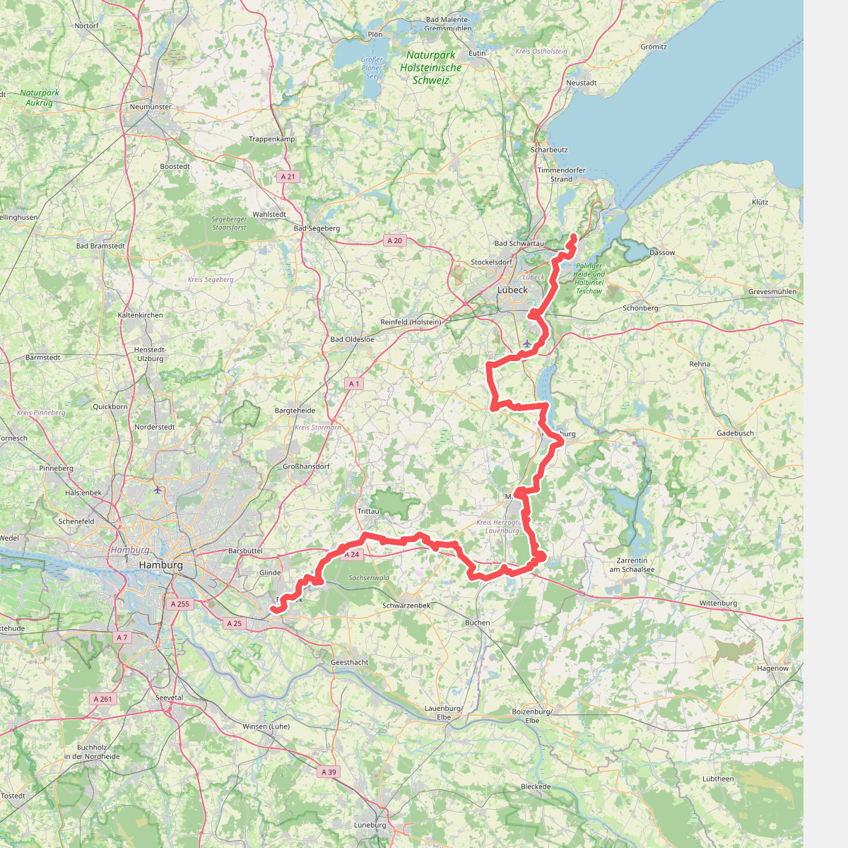
#1. Europäischer Fernwanderweg E9, Deutschland, Schleswig-Holstein (Ost)
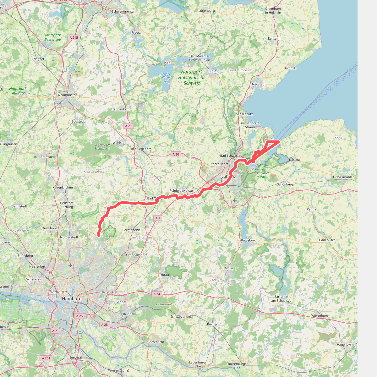
#2. Hanseatenweg - Abschnitt Schleswig-Holstein
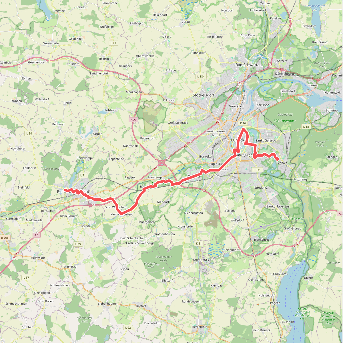
#3. Jakobsweg via Baltica, Schleswig-Holstein Ost
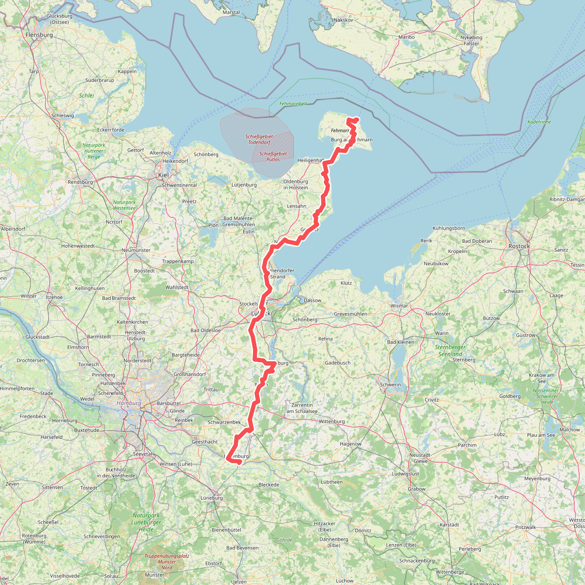
#4. Jakobsweg Via Scandinavica, Schleswig-Holstein
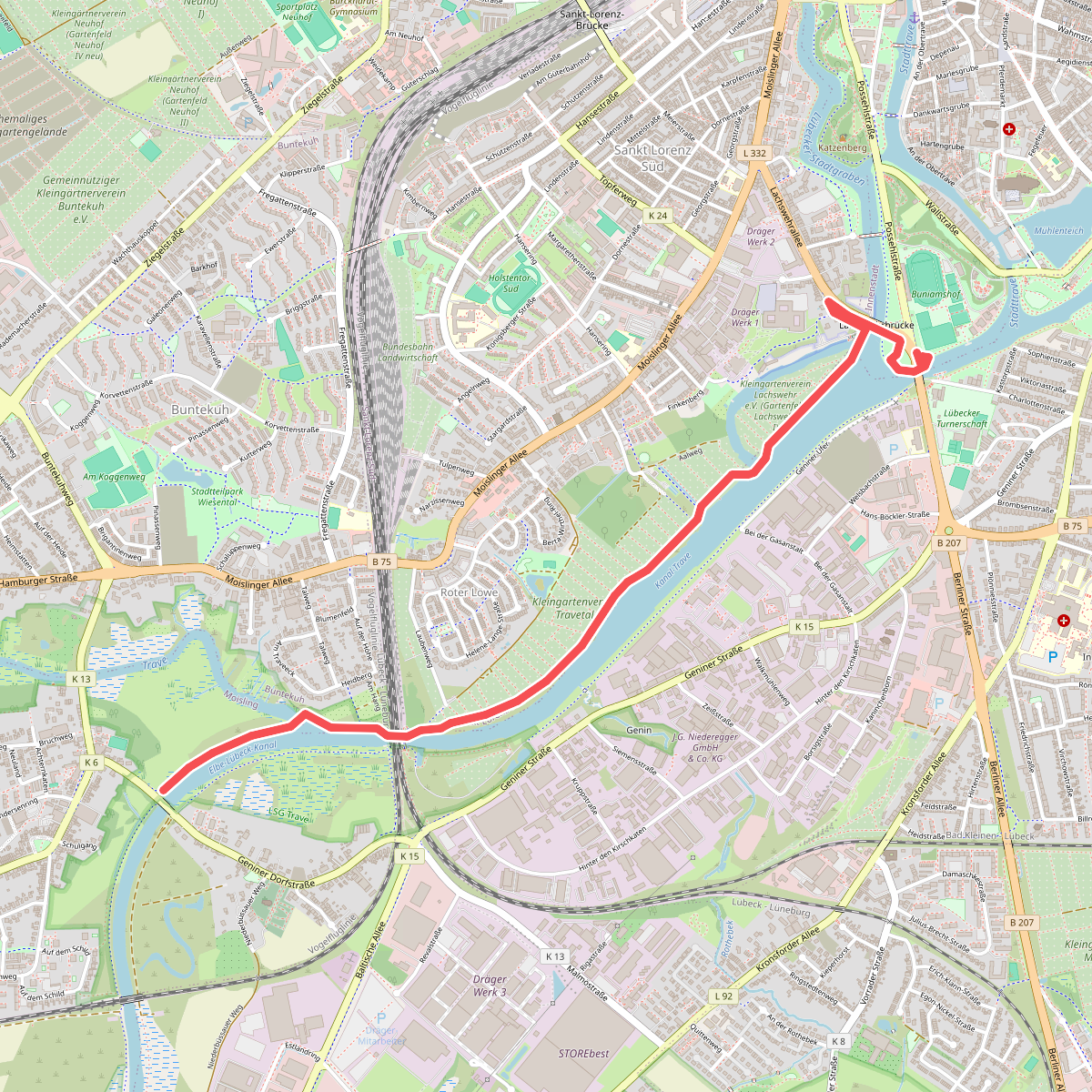
#5. Jakobsweg Via Scandinavica, Schleswig-Holstein - Aternative Possehlbrücke