The best hiking routes in Lokizko mendilerroa Kontserbazio Bereziko Eremua
Discover the best walks in Lokizko mendilerroa Kontserbazio Bereziko Eremua. 11 routes on the map, with descriptions, photos and GPX.
About Lokizko mendilerroa Kontserbazio Bereziko Eremua
Lokizko mendilerroa Kontserbazio Bereziko Eremua is a limestone karst plateau rising abruptly above the surrounding valleys of western Navarre. Unlike the nearby damp beech forests of the wetter northern slopes, this limestone massif is characterized by a Mediterranean-Atlantic transition. Walkers will find a dry, rocky plateau dominated by dense holm oak woods, scrubby boxwood, and open pastures. The terrain underfoot is predominantly rough limestone bedrock, loose stones, and clay tracks that require sturdy footwear.
Read more
About Lokizko mendilerroa Kontserbazio Bereziko Eremua
Lokizko mendilerroa Kontserbazio Bereziko Eremua is a limestone karst plateau rising abruptly above the surrounding valleys of western Navarre. Unlike the nearby damp beech forests of the wetter northern slopes, this limestone massif is characterized by a Mediterranean-Atlantic transition. Walkers will find a dry, rocky plateau dominated by dense holm oak woods, scrubby boxwood, and open pastures. The terrain underfoot is predominantly rough limestone bedrock, loose stones, and clay tracks that require sturdy footwear.
Read moreLokizko mendilerroa Kontserbazio Bereziko Eremua is a limestone karst plateau rising abruptly above the surrounding valleys of western Navarre. Unlike the nearby damp beech forests of the wetter northern slopes, this limestone massif is characterized by a Mediterranean-Atlantic transition. Walkers will find a dry, rocky plateau dominated by dense holm oak woods, scrubby boxwood, and open pastures. The terrain underfoot is predominantly rough limestone bedrock, loose stones, and clay tracks that require sturdy footwear.
The landscape is defined by its dramatic southern cliffs and a network of deep, dry ravines that cut through the limestone. On the plateau, the vegetation is shaped by centuries of sheep grazing and woodcutting, leaving a mosaic of thorny scrub and cleared mountain pastures. You will notice how the vegetation changes from Mediterranean holm oaks on the sun-exposed southern cliffs to deciduous oaks and small stands of beech in the cooler, north-facing hollows.
This area lacks high alpine peaks or running surface water; the limestone swallows rainfall immediately, leaving the high plateau dry and arid. Walkers should expect steep, rocky climbs to access the plateau from the valley floors, followed by relatively level but uneven walking once on top. The paths are often stony and unmarked, requiring basic navigation skills away from the main farm tracks.
Hiking routes in Lokizko mendilerroa Kontserbazio Bereziko Eremua (11)
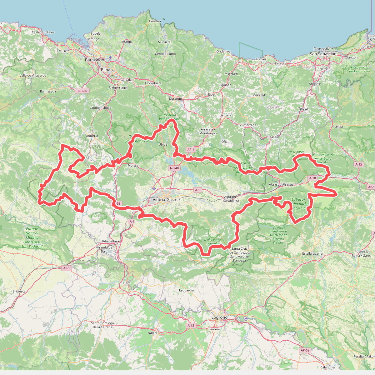
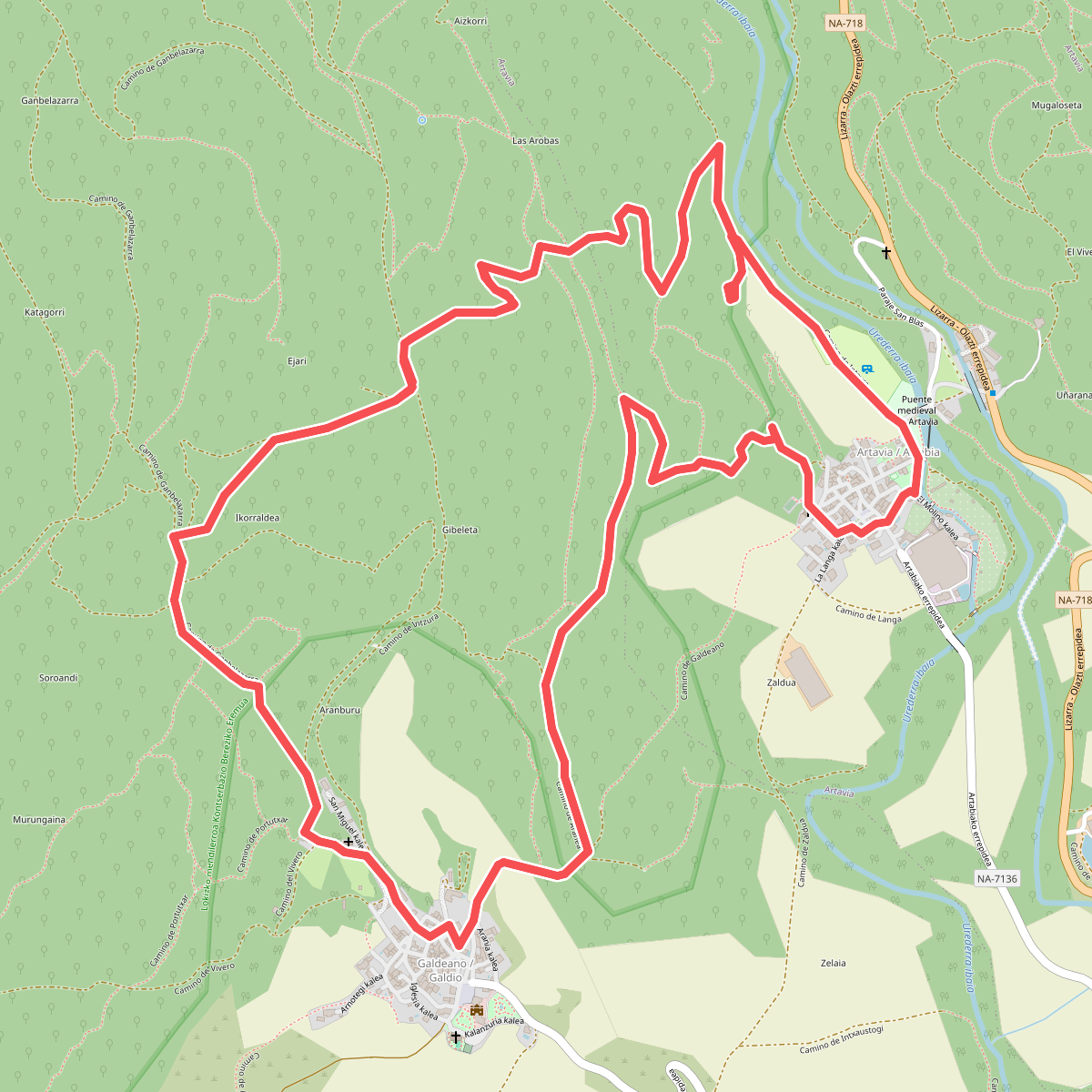
#1. Artzaintza naturbidea
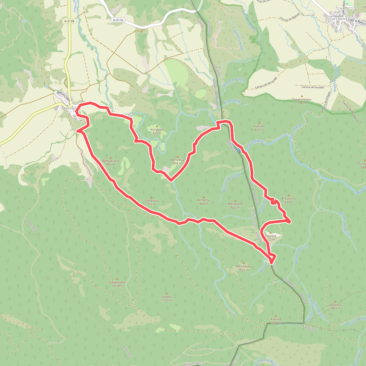
#2. Barrancos de Contrasta
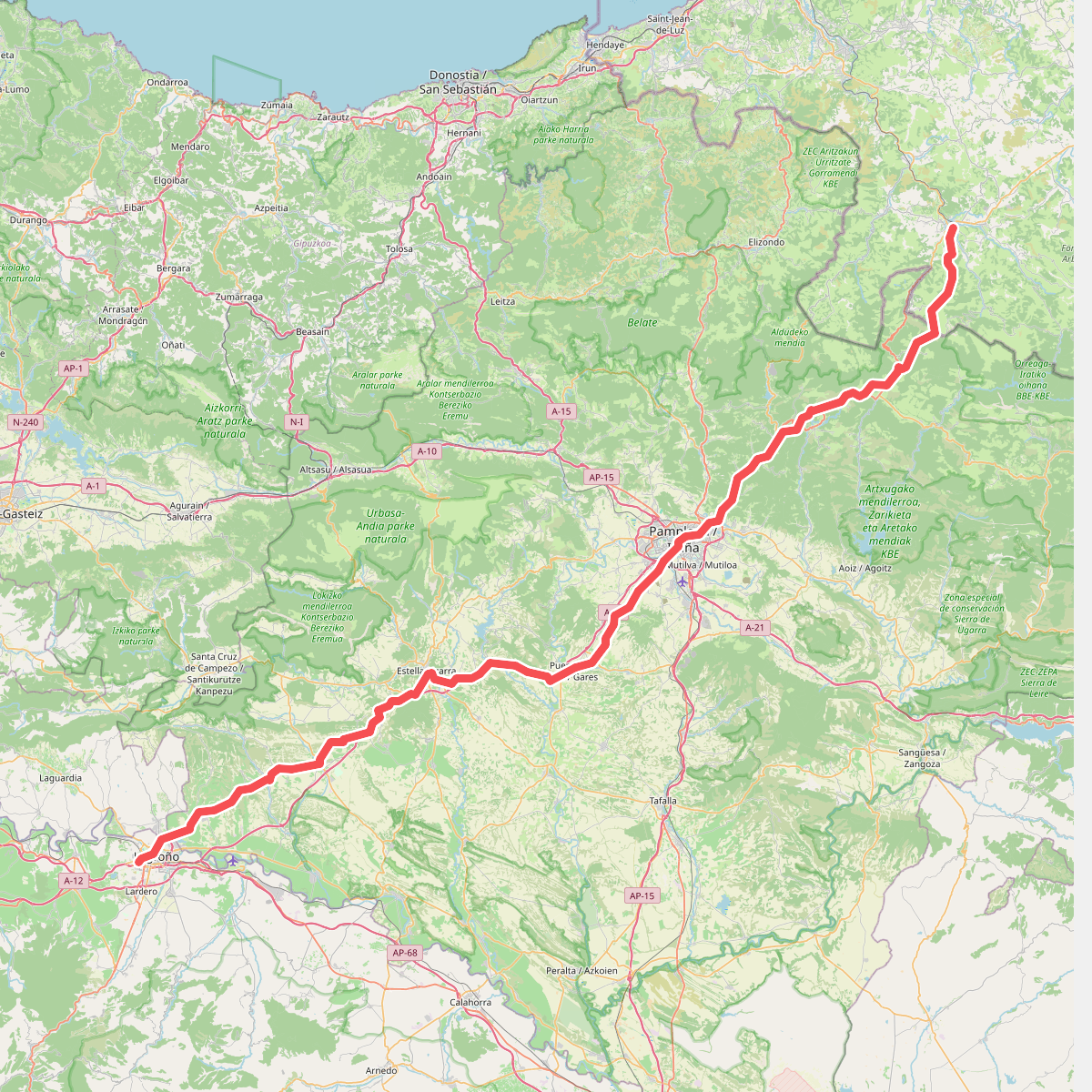
#3. Camino Francés - 01
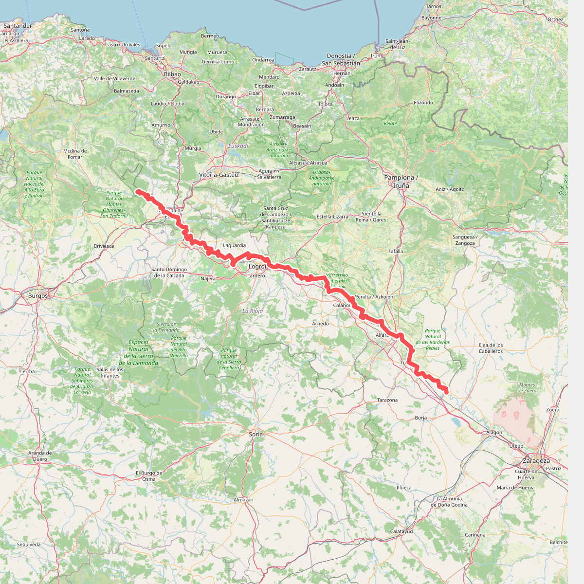
#4. Camino natural de Ebro - Tramo central
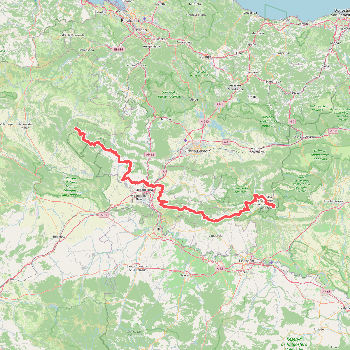
#5. Ibilbide historikoa: Araba
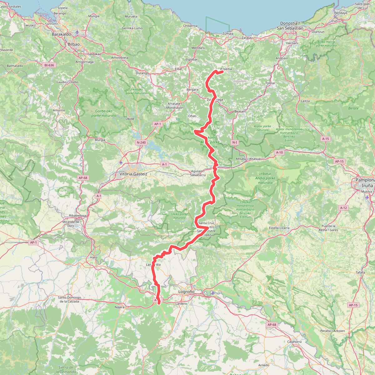
#6. Inaziotar bidea
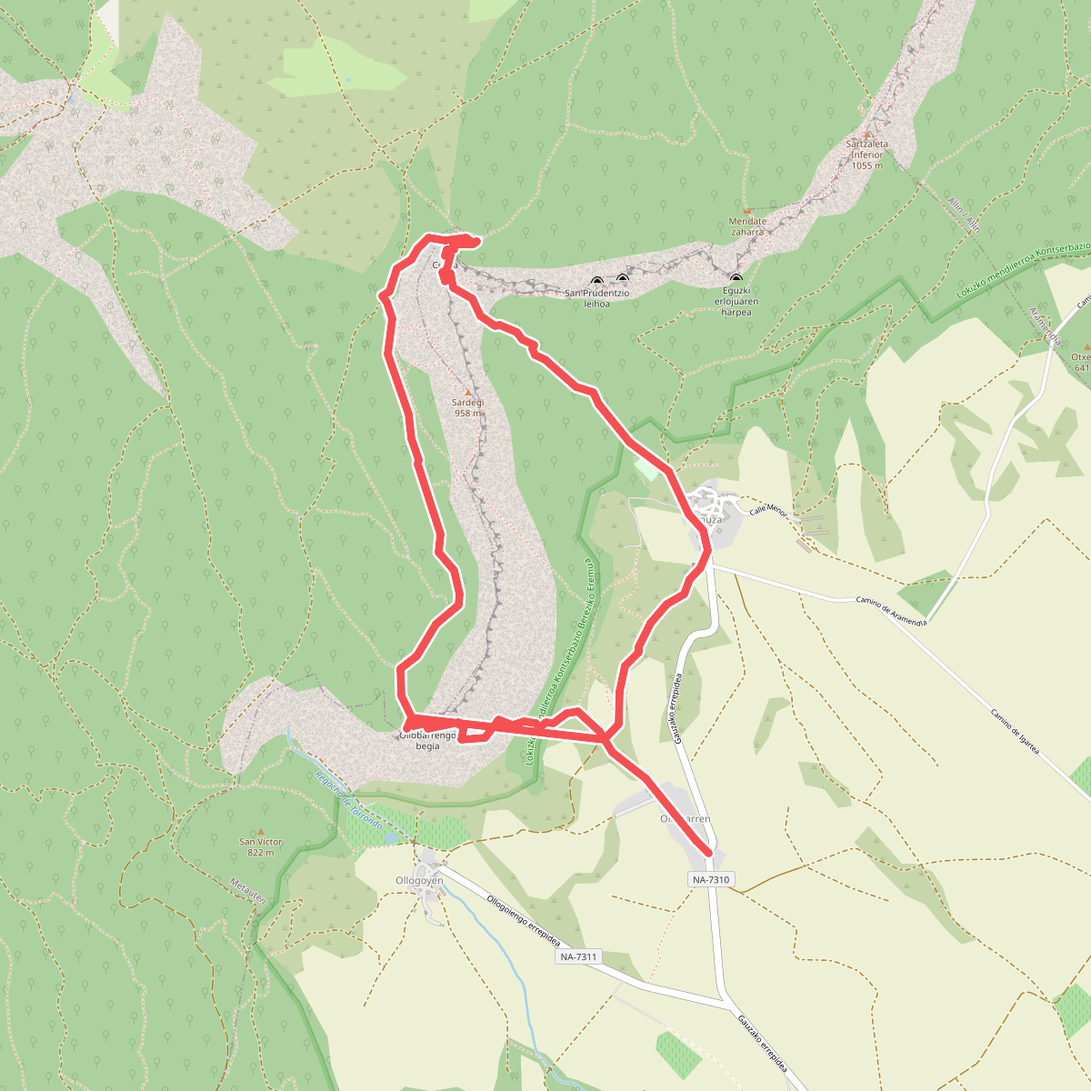
#7. Lokizko Santiago basilika
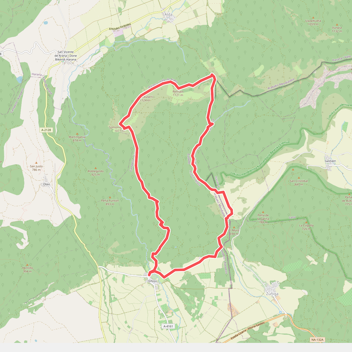
#8. Marquillanorako ibilbidea
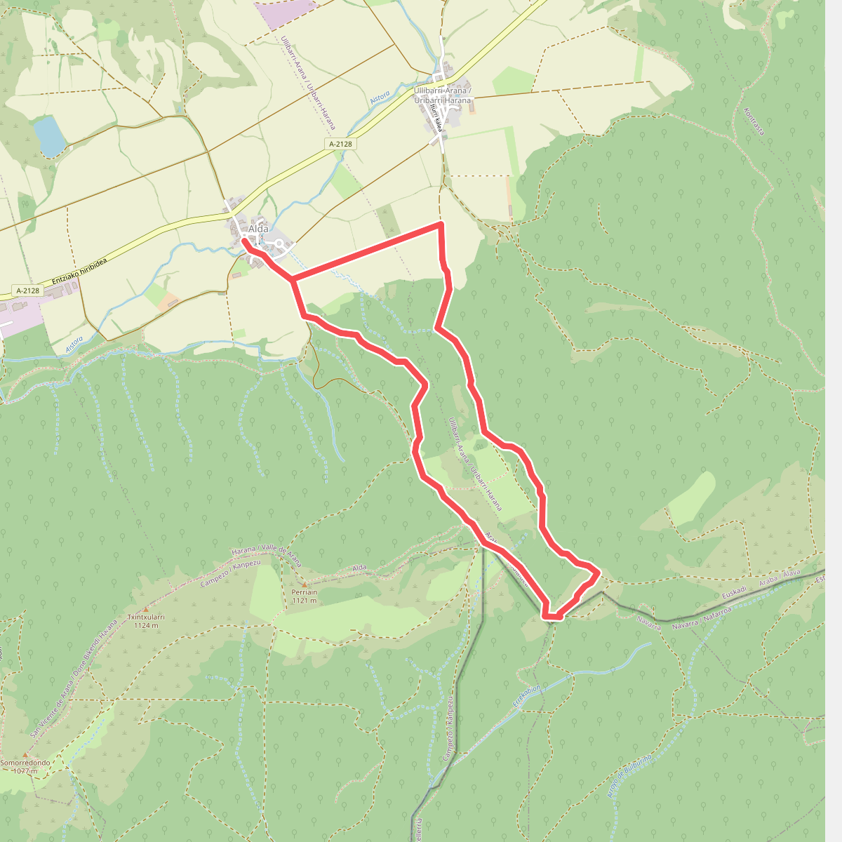
#9. Mojon Largo-rako ibilbidea
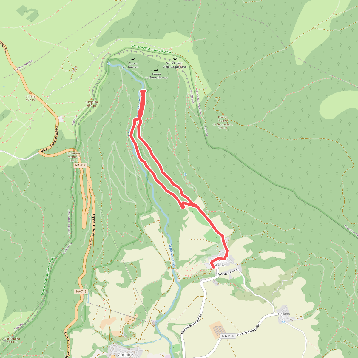
#10. Nacedero del Urederra