The best hiking routes in Loch Lomond and The Trossachs National Park
Discover the best walks in Loch Lomond and The Trossachs National Park. 31 routes on the map, with descriptions, photos and GPX.
About Loch Lomond and The Trossachs National Park
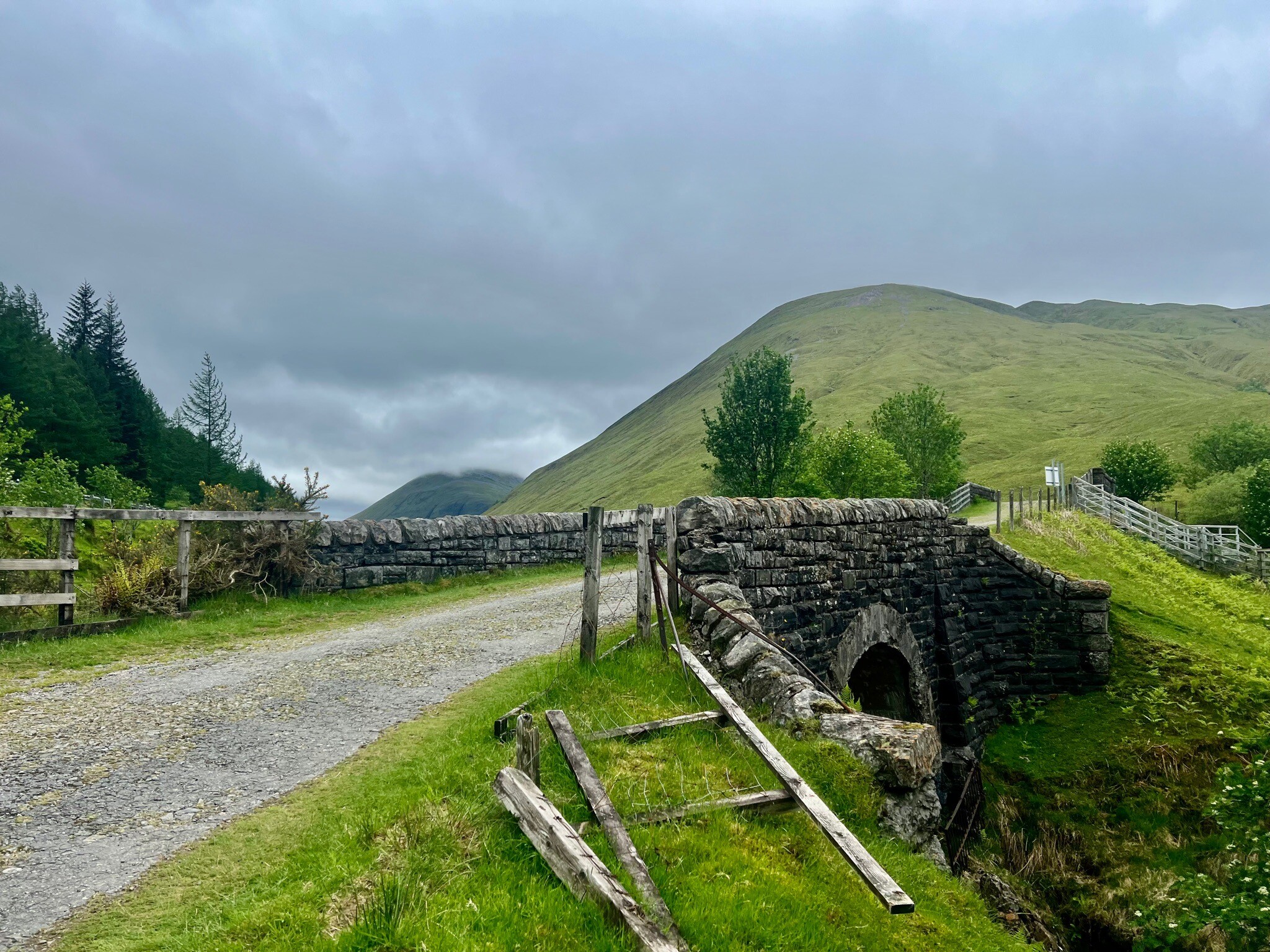
Loch Lomond and The Trossachs National Park is defined by the Highland Boundary Fault, which cuts directly through the landscape. To the south of this line, you will walk across rolling lowland hills, green pastures, and wide, flat lake basins. North of the fault, the terrain changes abruptly into steep, rugged glens, rocky ridges, and high peaks known as Munros. This geological divide means your choice of path determines whether you encounter gentle lakeside strolls or demanding mountain climbs.
Read more
About Loch Lomond and The Trossachs National Park
Loch Lomond and The Trossachs National Park is defined by the Highland Boundary Fault, which cuts directly through the landscape. To the south of this line, you will walk across rolling lowland hills, green pastures, and wide, flat lake basins. North of the fault, the terrain changes abruptly into steep, rugged glens, rocky ridges, and high peaks known as Munros. This geological divide means your choice of path determines whether you encounter gentle lakeside strolls or demanding mountain climbs.
Read moreLoch Lomond and The Trossachs National Park is defined by the Highland Boundary Fault, which cuts directly through the landscape. To the south of this line, you will walk across rolling lowland hills, green pastures, and wide, flat lake basins. North of the fault, the terrain changes abruptly into steep, rugged glens, rocky ridges, and high peaks known as Munros. This geological divide means your choice of path determines whether you encounter gentle lakeside strolls or demanding mountain climbs.
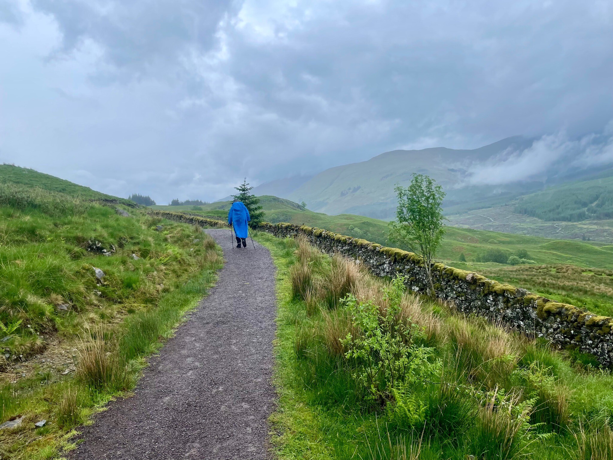
Underfoot, the terrain varies from wide, gravelled forestry tracks and tarmac cycle paths to rough, peat-filled upland trails. In the lowlands and around the shores of Loch Lomond, wooden boardwalks and hard-packed earth are common, though tree roots frequently cross the paths. As you ascend into the Trossachs or the northern glens, the ground becomes increasingly rocky, with exposed stone steps, boggy peat hags, and loose scree demanding careful footwork.
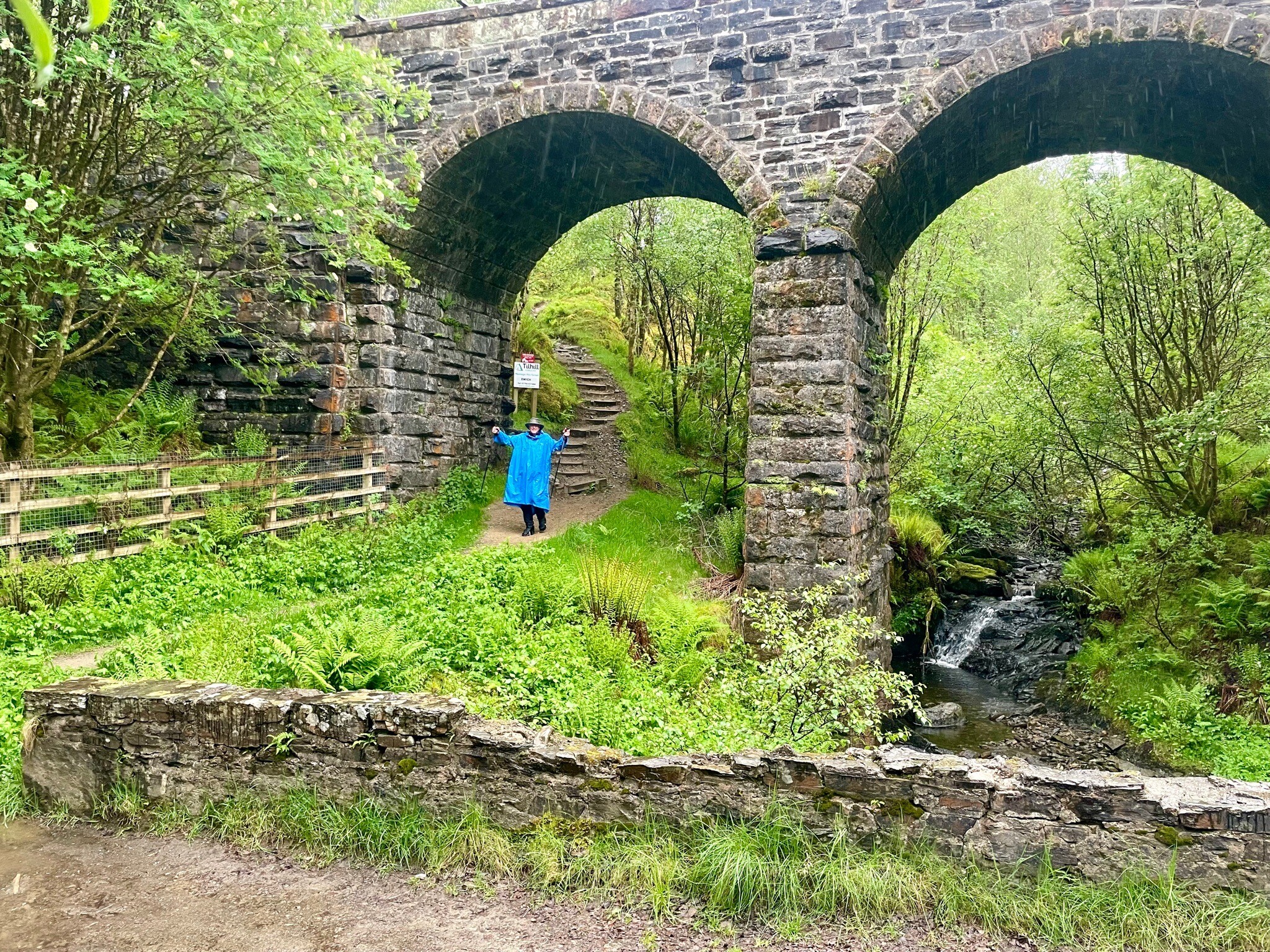
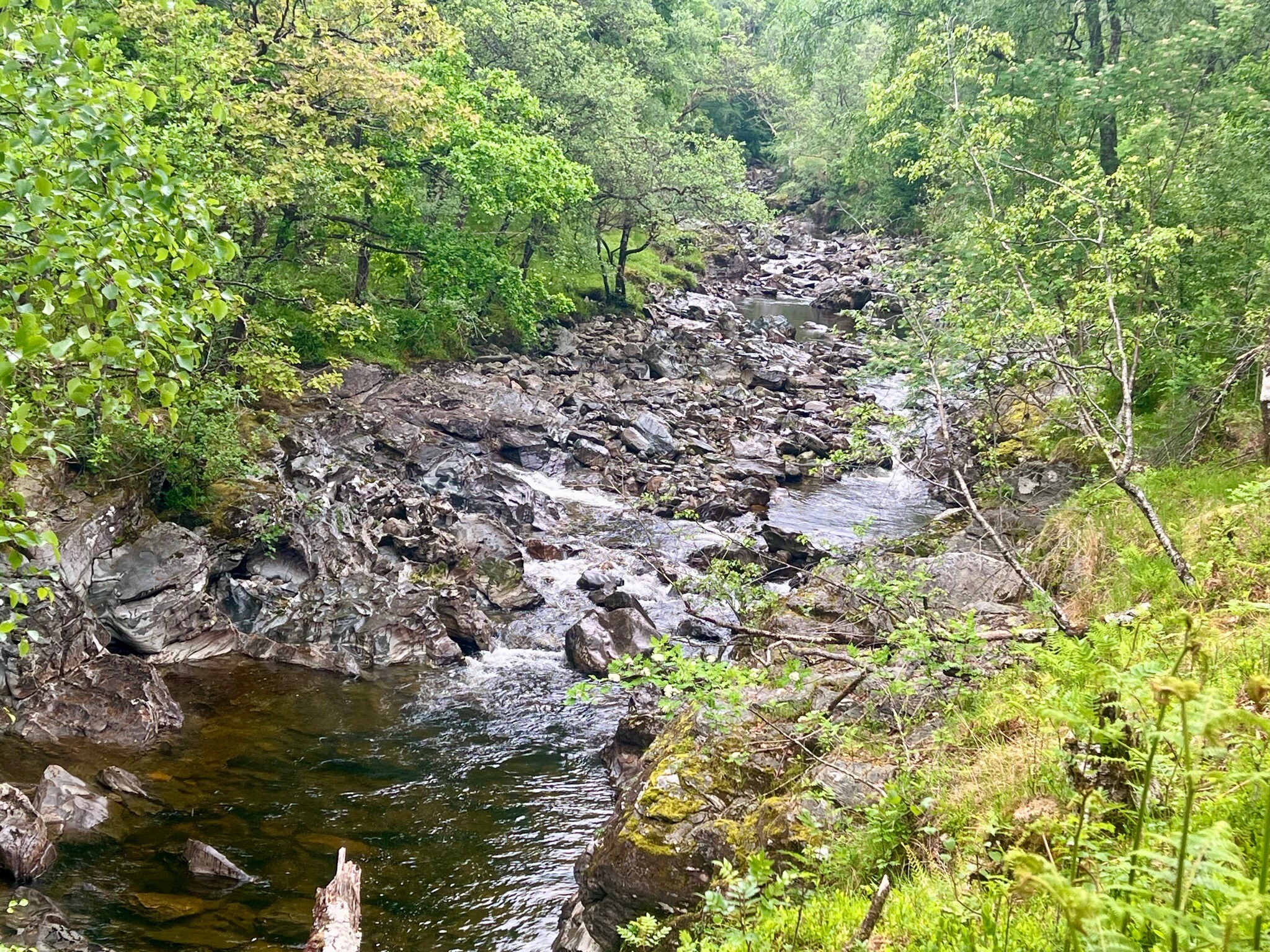
Woodlands are a major feature of this park, with ancient oakwoods hugging the eastern shores of Loch Lomond and dense coniferous plantations covering the hillsides of the Queen Elizabeth Forest Park. In May, the deciduous woodlands are carpeted with bluebells, while the higher open moorlands are dominated by heather and bracken. The popular eastern shore of Loch Lomond and the paths around Callander tend to be busier, whereas the northern glens near Crianlarich offer a more solitary walking experience.
Hiking routes in Loch Lomond and The Trossachs National Park (31)
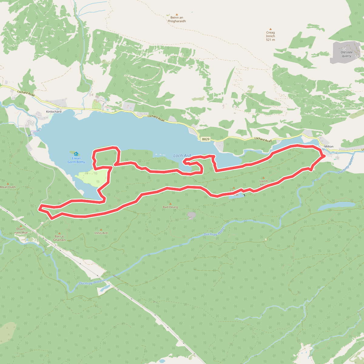
#1. 8 mile loop
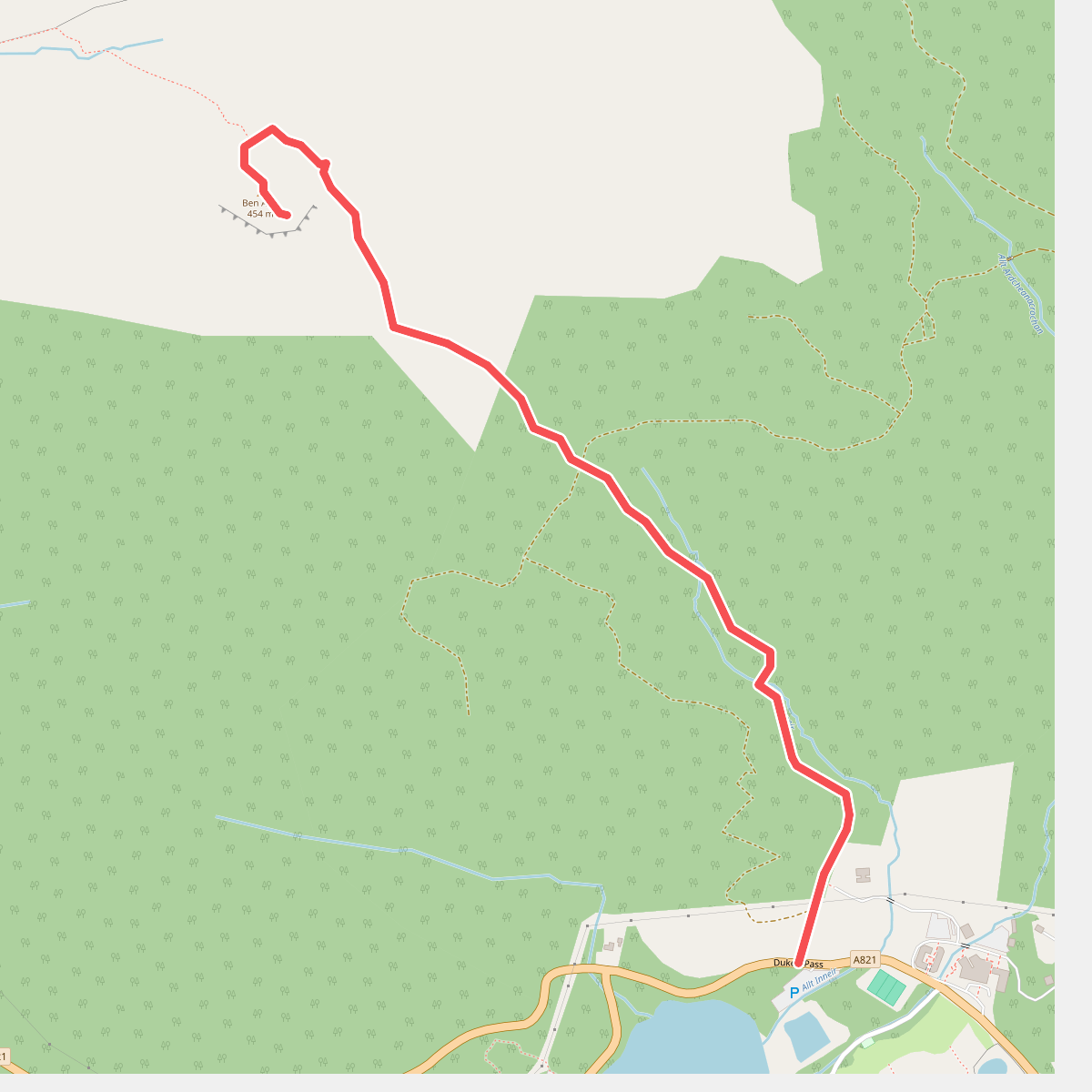
#2. Ben A'an Trail
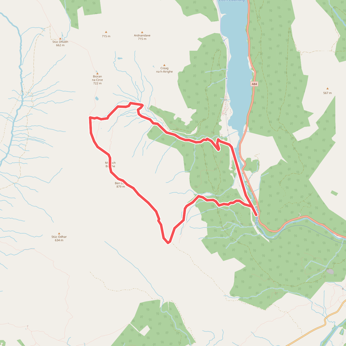
#3. Ben Ledi Trail
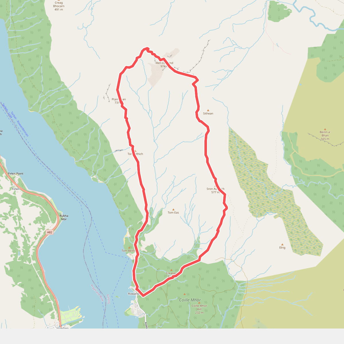
#4. Ben Lomond Trail
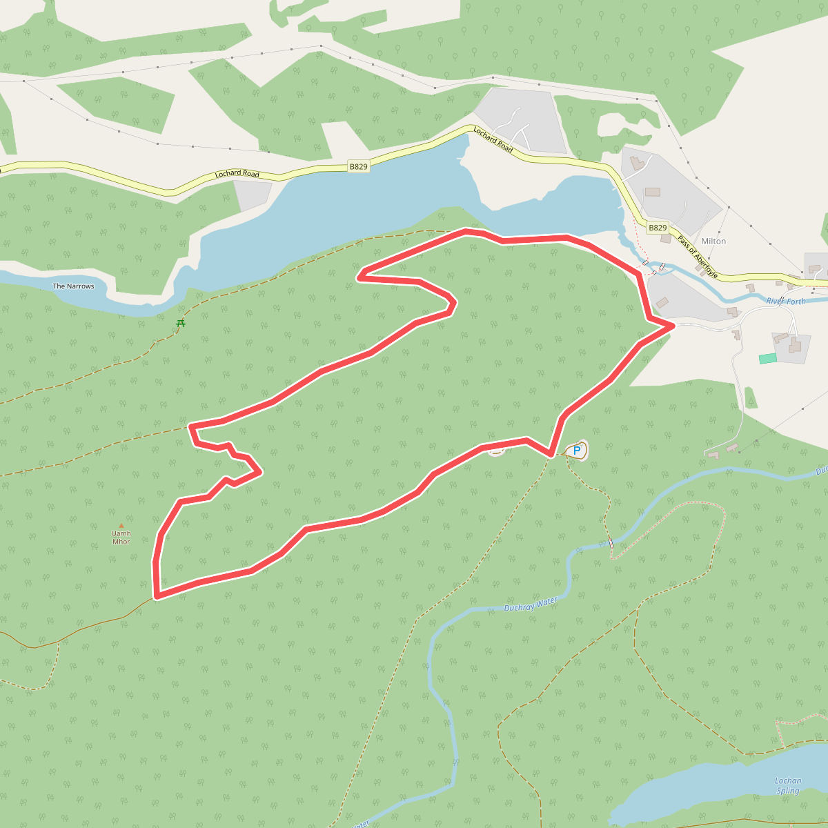
#5. Ben Lomond Viewpoint
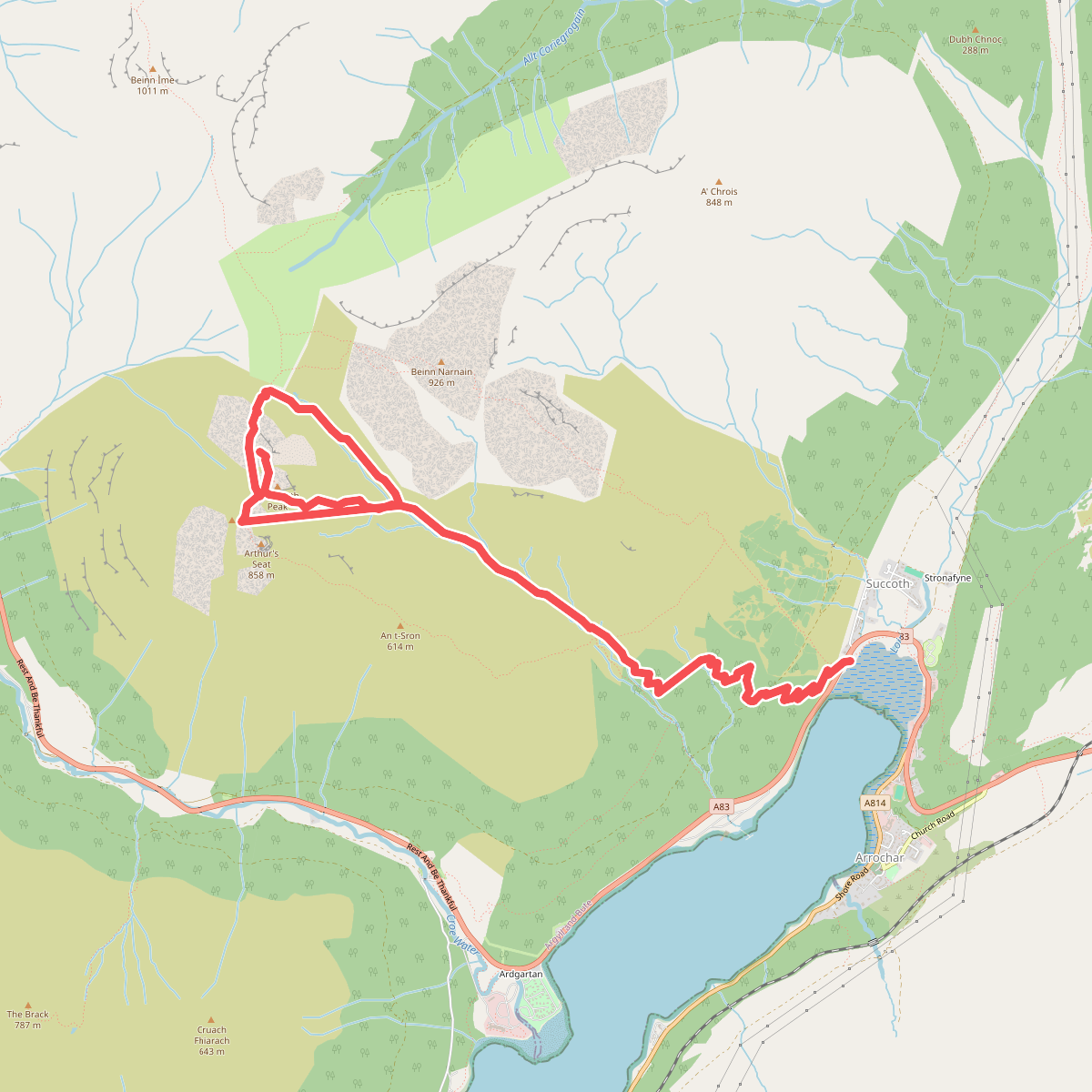
#6. Cobbler Trail
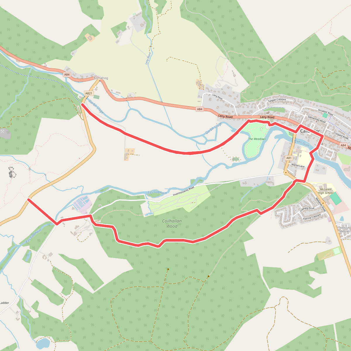
#7. Coilhallan wood
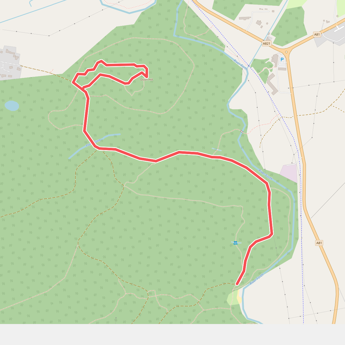
#8. Doon Hill Trail
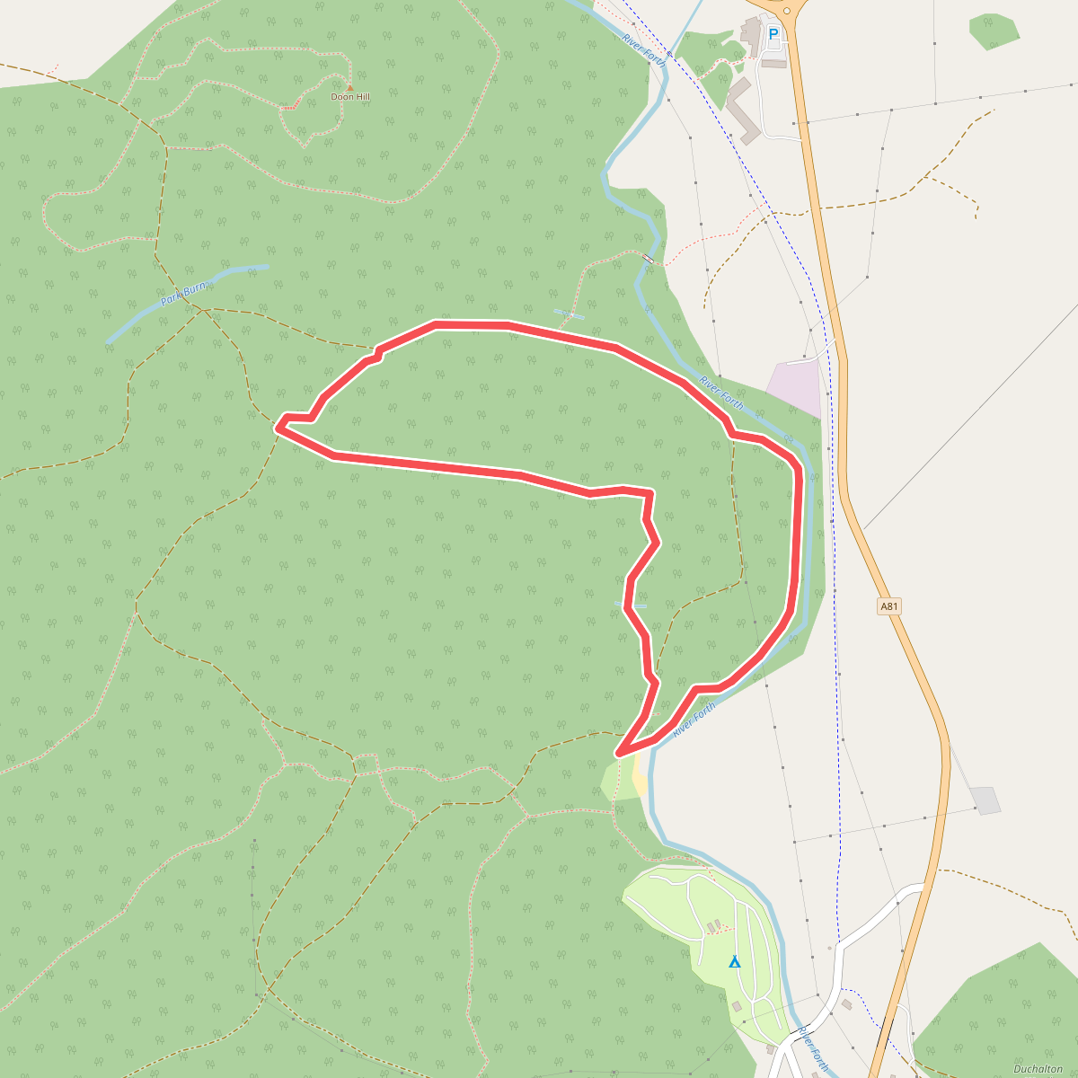
#9. Easter Park Trail
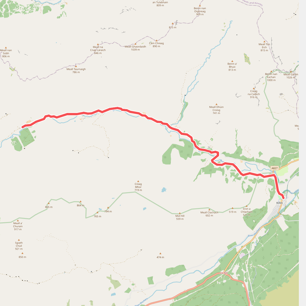
#10. Glenknock to Killin
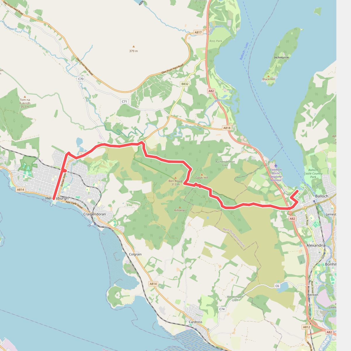
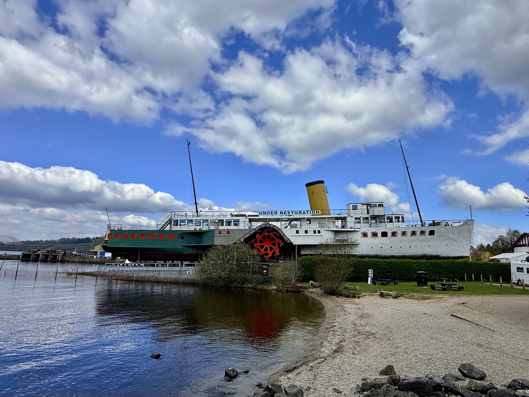
#11. Joh Muirway: 1. Helensburgh - Balloch