The best hiking routes in Loch Lomond and The Trossachs National Park
Discover the best walks in Loch Lomond and The Trossachs National Park. 6 routes on the map, with descriptions, photos and GPX.
About Loch Lomond and The Trossachs National Park
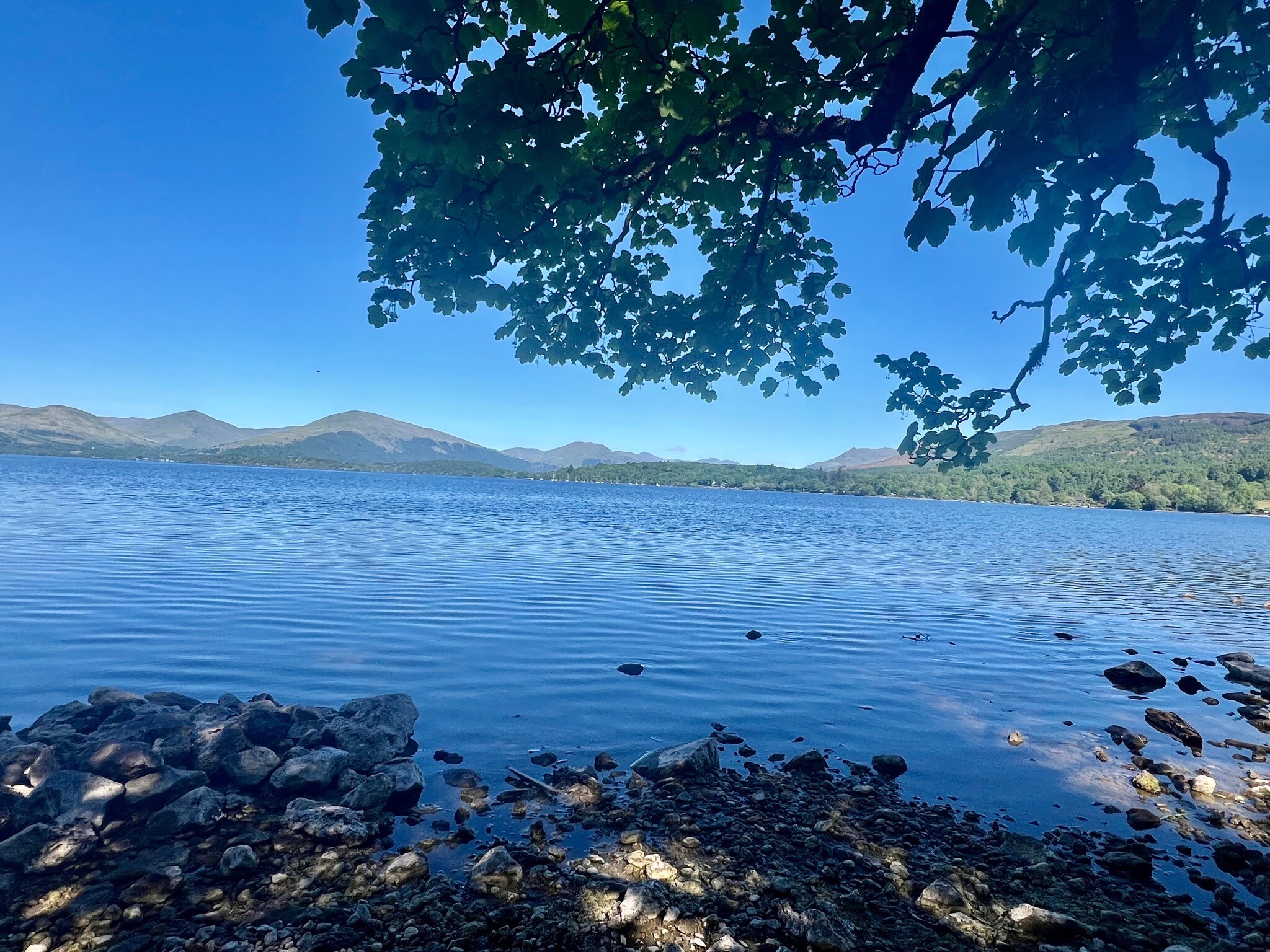
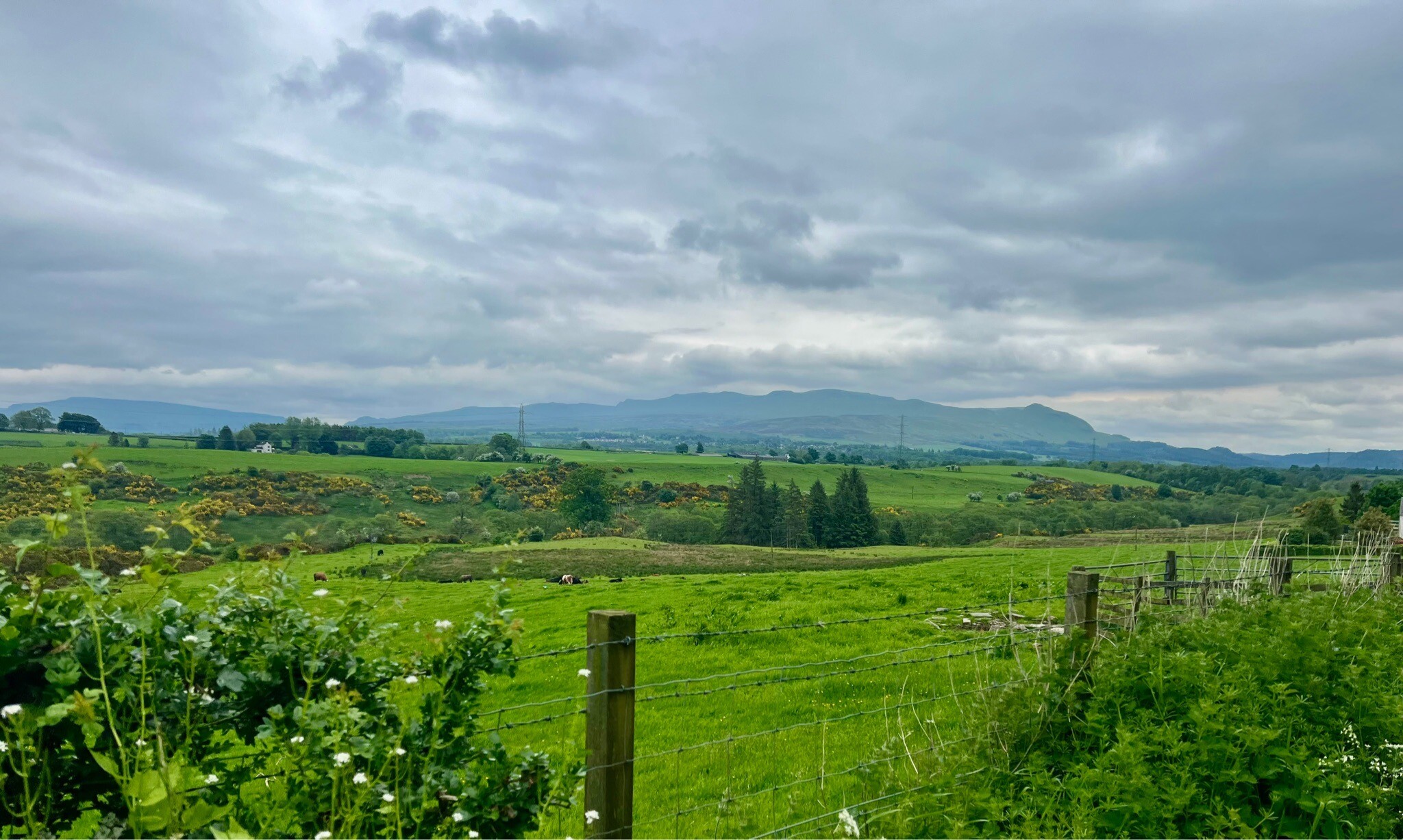
Loch Lomond and The Trossachs National Park is defined by the Highland Boundary Fault, which cuts directly through the landscape. To the south of this line, you will walk across low, rolling hills and wide, flat valleys. To the north, the terrain changes abruptly into steep, rugged glens and rocky mountain ridges. The park is split by long, deep freshwater lochs, with Loch Lomond itself acting as a major barrier that requires walkers to choose between the gentler, more accessible western shore and the rougher, roadless eastern side.
Read more
About Loch Lomond and The Trossachs National Park
Loch Lomond and The Trossachs National Park is defined by the Highland Boundary Fault, which cuts directly through the landscape. To the south of this line, you will walk across low, rolling hills and wide, flat valleys. To the north, the terrain changes abruptly into steep, rugged glens and rocky mountain ridges. The park is split by long, deep freshwater lochs, with Loch Lomond itself acting as a major barrier that requires walkers to choose between the gentler, more accessible western shore and the rougher, roadless eastern side.
Read moreLoch Lomond and The Trossachs National Park is defined by the Highland Boundary Fault, which cuts directly through the landscape. To the south of this line, you will walk across low, rolling hills and wide, flat valleys. To the north, the terrain changes abruptly into steep, rugged glens and rocky mountain ridges. The park is split by long, deep freshwater lochs, with Loch Lomond itself acting as a major barrier that requires walkers to choose between the gentler, more accessible western shore and the rougher, roadless eastern side.
Underfoot, the paths vary significantly depending on your altitude. Lowland routes and shoreline tracks often consist of hard-packed gravel, forestry roads, or tarmac. As you climb into the glens and hills, the terrain transitions to rougher, unpaved paths where exposed tree roots, loose stones, and thick peat bog are common. In the wetter upland areas, particularly during the autumn months of October and November, the ground underfoot becomes waterlogged, and you will frequently encounter sections of wooden boardwalk or stone pitching designed to protect the fragile heather and moss from erosion.
The eastern areas, known as the Trossachs, are characterized by dense woodland, including native oakwoods and commercial pine plantations, which limit long-distance views but offer shelter. In contrast, the northern and western sections feature open, treeless moors and high peaks where the vegetation is limited to low-growing grasses and sedges. While the popular summits and shoreline paths near main road corridors see steady foot traffic, the deeper glens and northern ridges remain much quieter and require self-reliance.