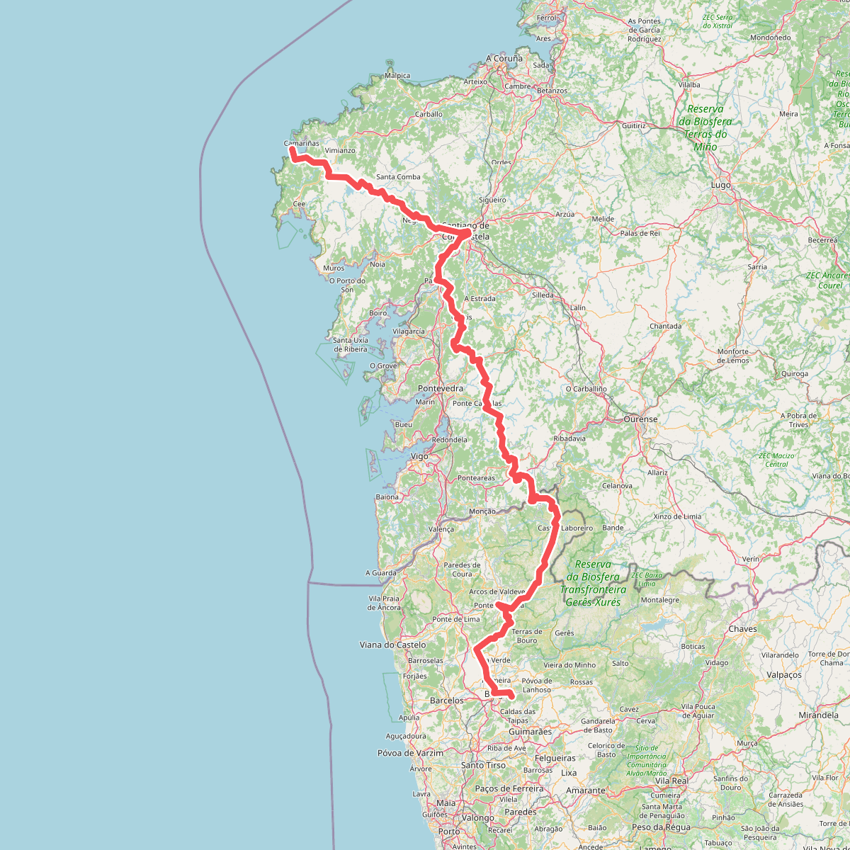
The best hiking routes in Limite do Parque Nacional da Peneda-Gerês
Discover the best walks in Limite do Parque Nacional da Peneda-Gerês. 13 routes on the map, with descriptions, photos and GPX.
About Limite do Parque Nacional da Peneda-Gerês
The Limite do Parque Nacional da Peneda-Gerês marks the transition zone along the outer boundary of Portugal's only national park. Unlike the deep, granite-carved interior valleys of the main park, this perimeter area is characterized by a mix of agricultural terraces, scrubby heathlands, and small pine plantations. Walkers here will find a working rural landscape where ancient stone walls and traditional granaries, known as espigueiros, border the paths, reflecting centuries of mountain farming rather than untouched wilderness.
Read more
About Limite do Parque Nacional da Peneda-Gerês
The Limite do Parque Nacional da Peneda-Gerês marks the transition zone along the outer boundary of Portugal's only national park. Unlike the deep, granite-carved interior valleys of the main park, this perimeter area is characterized by a mix of agricultural terraces, scrubby heathlands, and small pine plantations. Walkers here will find a working rural landscape where ancient stone walls and traditional granaries, known as espigueiros, border the paths, reflecting centuries of mountain farming rather than untouched wilderness.
Read moreThe Limite do Parque Nacional da Peneda-Gerês marks the transition zone along the outer boundary of Portugal's only national park. Unlike the deep, granite-carved interior valleys of the main park, this perimeter area is characterized by a mix of agricultural terraces, scrubby heathlands, and small pine plantations. Walkers here will find a working rural landscape where ancient stone walls and traditional granaries, known as espigueiros, border the paths, reflecting centuries of mountain farming rather than untouched wilderness.
Underfoot, the terrain consists mostly of rough, stony tracks and old paved cart paths made of large granite slabs, which can be uneven and slick. While the inner park features high, exposed ridges, this boundary zone offers gentler, mid-elevation slopes where gorse and broom dominate the open hillsides. In May, these shrubs cover the slopes in bright yellow flowers, contrasting with the grey stone walls.
This outer edge is generally quieter than the popular trailheads deeper in Gerês, though some sections near village access points see regular local agricultural traffic. It is an ideal area for those who prefer observing traditional pastoral life and walking along historic village-to-pasture routes, rather than seeking high-altitude peaks or dense oak forests.
Hiking routes in Limite do Parque Nacional da Peneda-Gerês (13)
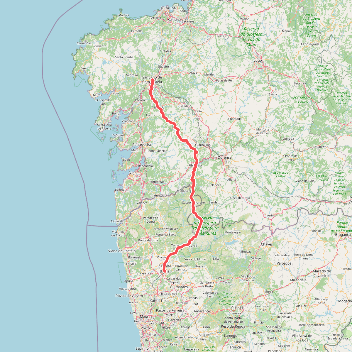
#1. Caminho da Geira e dos Arrieiros
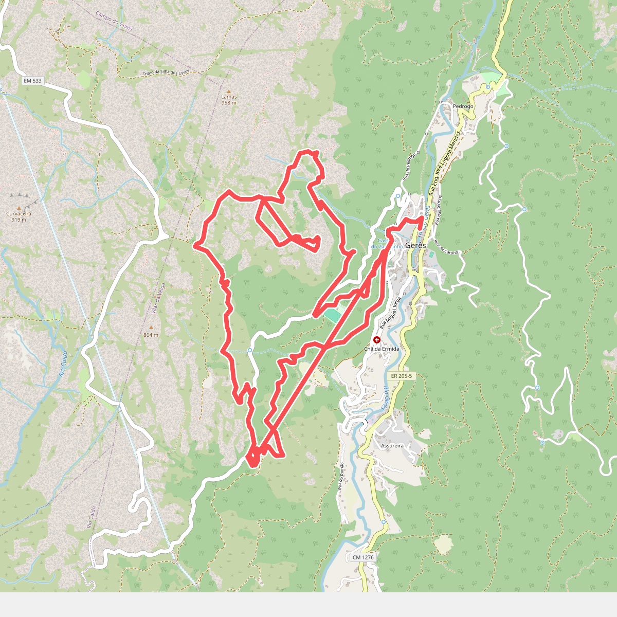
#2. Geres Panorama
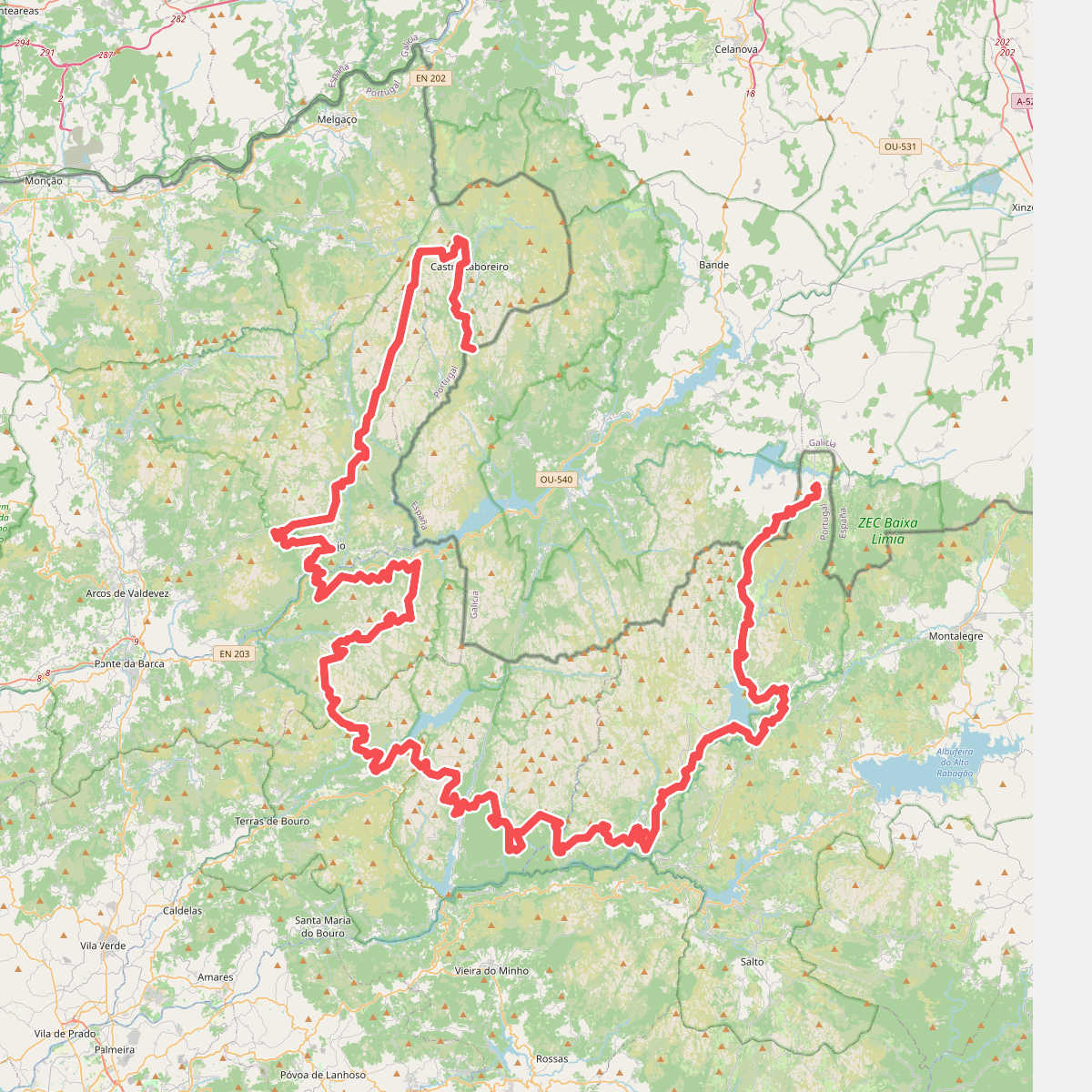
#3. Grande Rota Peneda-Gerês
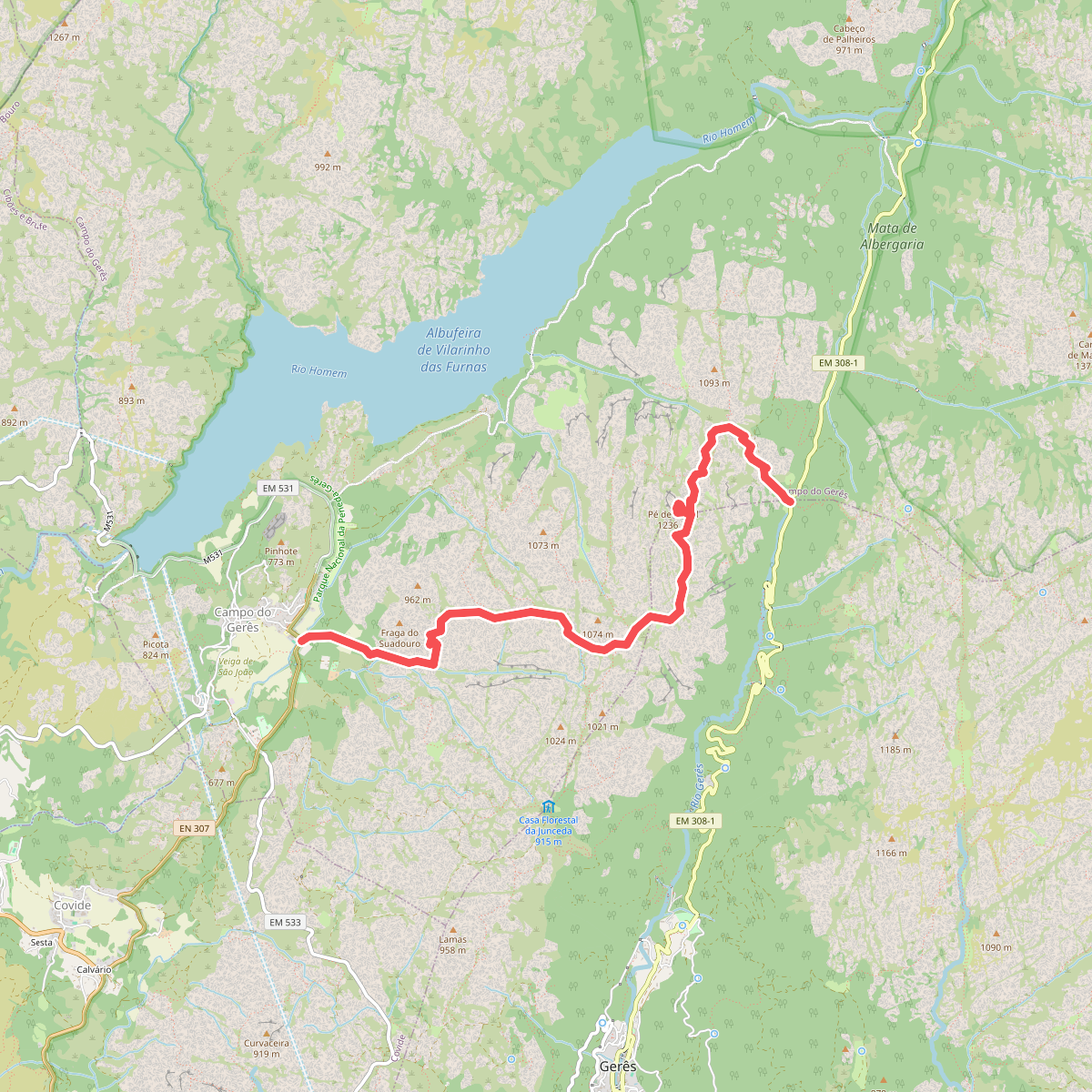
#4. PE de Cabril
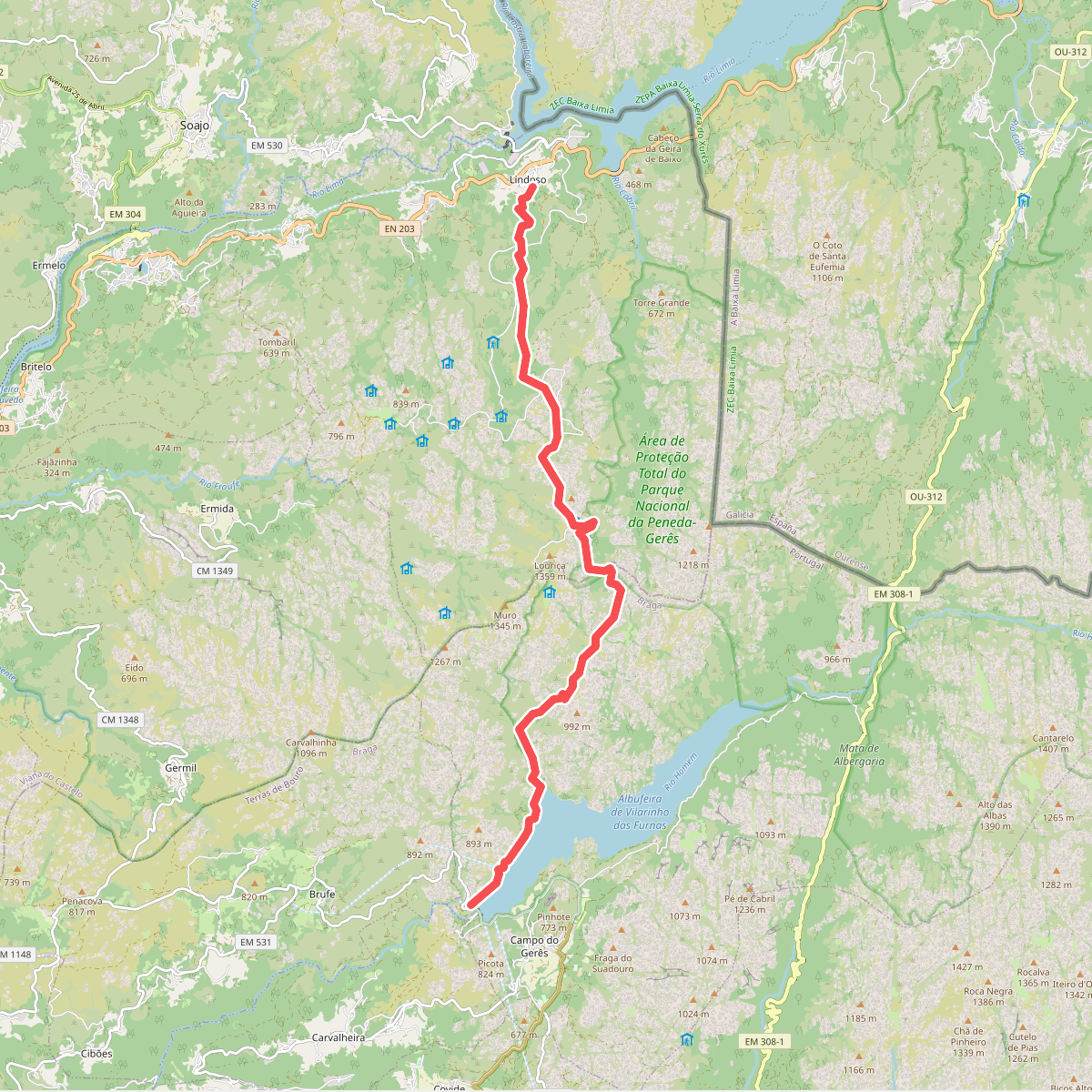
#5. Serra Amarela
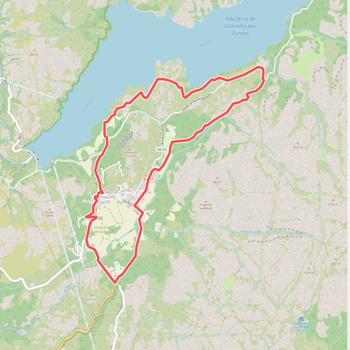
#6. Trilho da Águia do Sarilhão
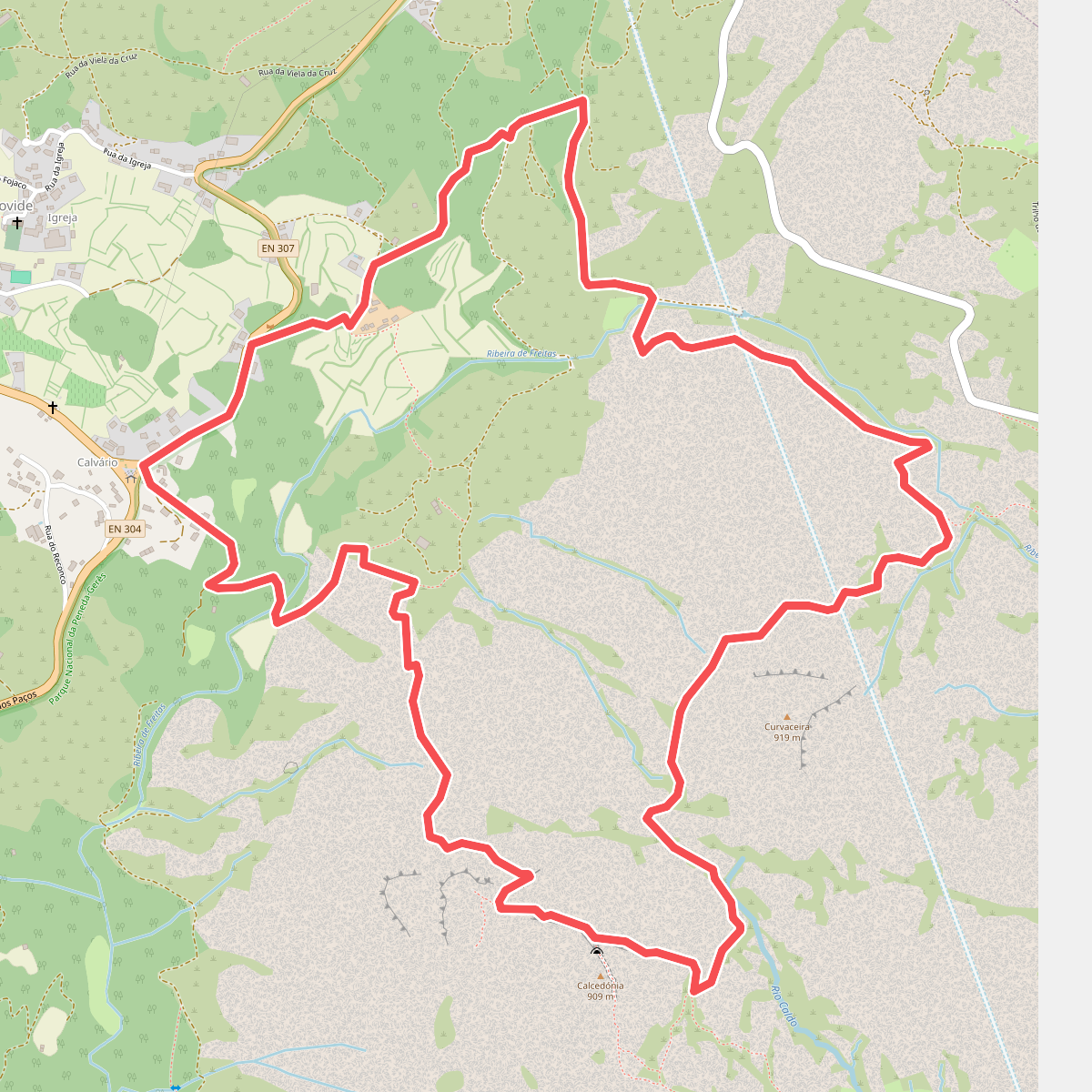
#7. Trilho da Calcedónia
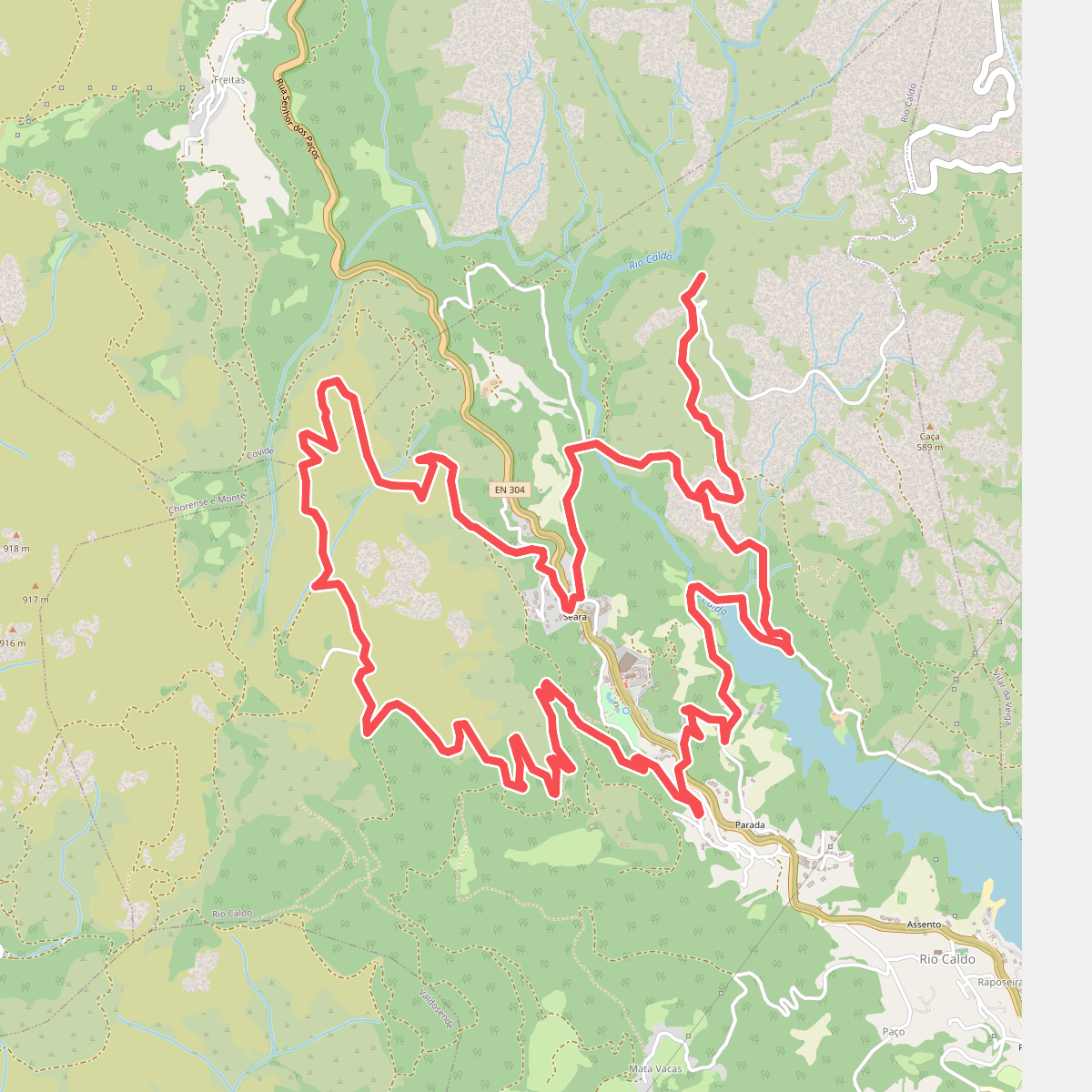
#8. Trilho de São Bento
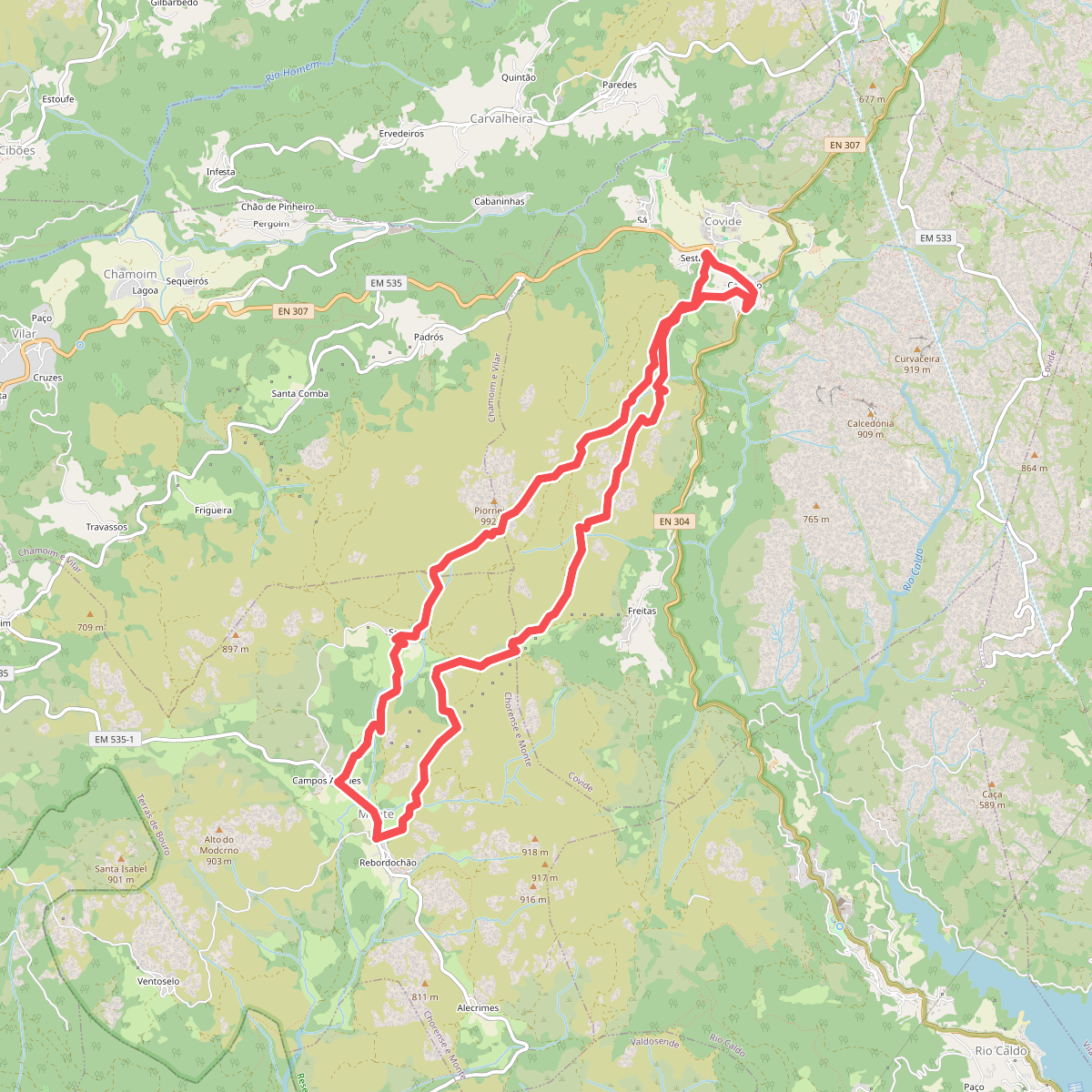
#9. Trilho do Castelo
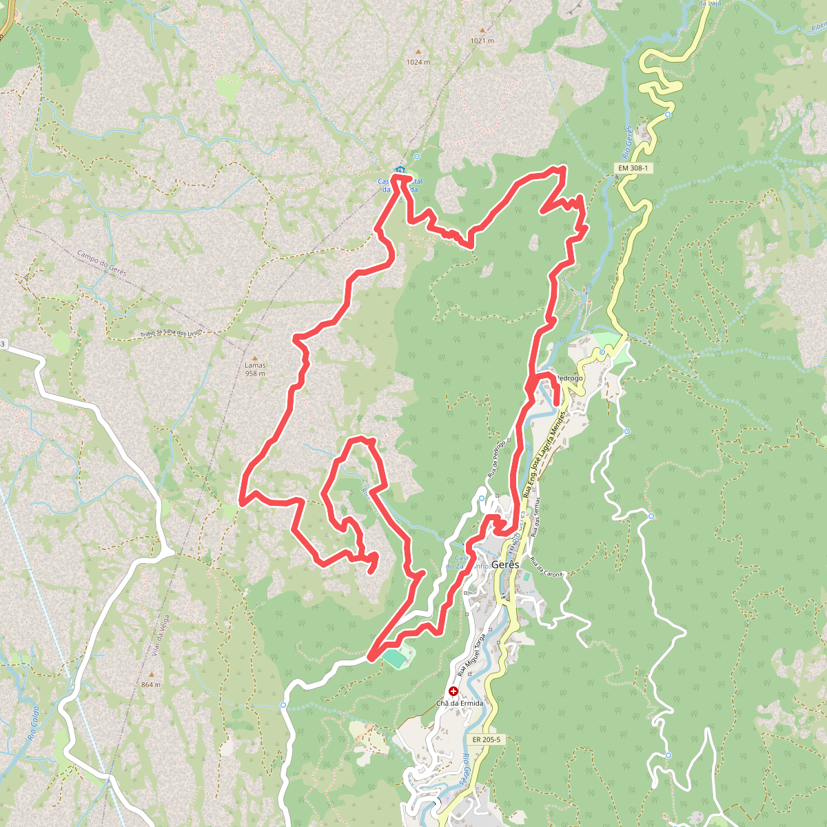
#10. Trilho dos Miradouros
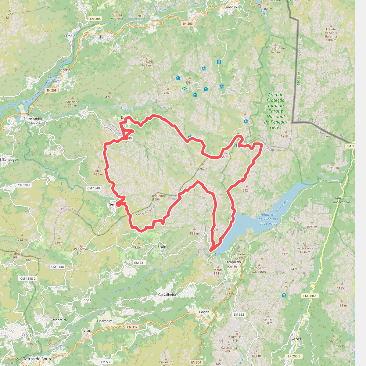
#11. Trilho Interpretativo da Serra Amarela