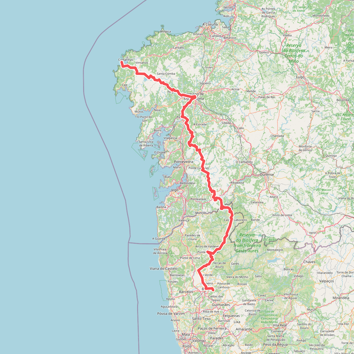
The best hiking routes in Limite do Parque Nacional da Peneda-Gerês
Discover the best walks in Limite do Parque Nacional da Peneda-Gerês. 9 routes on the map, with descriptions, photos and GPX.
About Limite do Parque Nacional da Peneda-Gerês
Limite do Parque Nacional da Peneda-Gerês marks the transition zone along the outer boundary of Portugal's only national park. Unlike the deep, granite-carved interior of the main reserve, this borderland features a mix of traditional agricultural terraces, scrubby heathlands, and small oak copses. Walkers here will not find the high, isolated peaks of the central Serra do Gerês, but rather a working rural landscape where ancient stone walls and granaries, known as espigueiros, line the paths.
Read more
About Limite do Parque Nacional da Peneda-Gerês
Limite do Parque Nacional da Peneda-Gerês marks the transition zone along the outer boundary of Portugal's only national park. Unlike the deep, granite-carved interior of the main reserve, this borderland features a mix of traditional agricultural terraces, scrubby heathlands, and small oak copses. Walkers here will not find the high, isolated peaks of the central Serra do Gerês, but rather a working rural landscape where ancient stone walls and granaries, known as espigueiros, line the paths.
Read moreLimite do Parque Nacional da Peneda-Gerês marks the transition zone along the outer boundary of Portugal's only national park. Unlike the deep, granite-carved interior of the main reserve, this borderland features a mix of traditional agricultural terraces, scrubby heathlands, and small oak copses. Walkers here will not find the high, isolated peaks of the central Serra do Gerês, but rather a working rural landscape where ancient stone walls and granaries, known as espigueiros, line the paths.
Underfoot, the terrain consists mostly of rough, stony dirt tracks and old paved cart paths made of uneven granite slabs. These ancient ways connect small mountain hamlets and can be demanding on the ankles. The vegetation changes from dense gorse and heather on the exposed ridges to shaded hazel and oak canopy in the lower stream valleys. Water is a constant presence, with stone irrigation channels, or levadas, often running parallel to the walking trails.
Choosing this boundary area means experiencing a quieter, more domestic side of the region. While the famous interior viewpoints and waterfalls of the national park attract large crowds, these outer fringes remain largely agricultural and see fewer visitors. It is an ideal choice for those who prefer observing traditional farming methods and rural architecture over high-altitude mountain trekking.
Hiking routes in Limite do Parque Nacional da Peneda-Gerês (9)
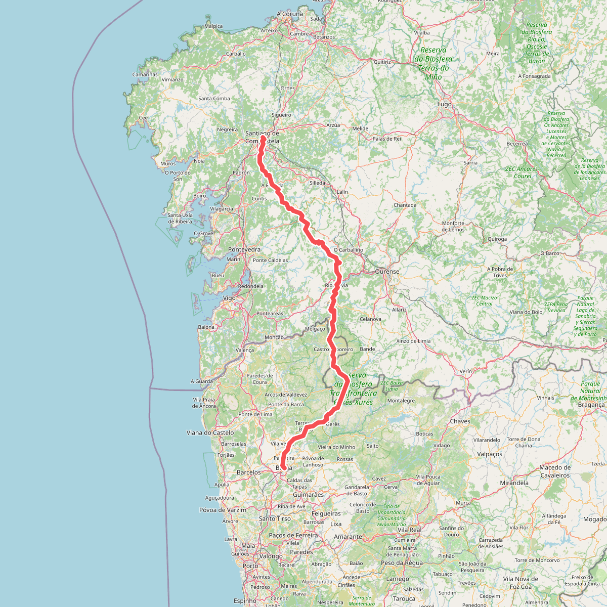
#1. Caminho da Geira e dos Arrieiros
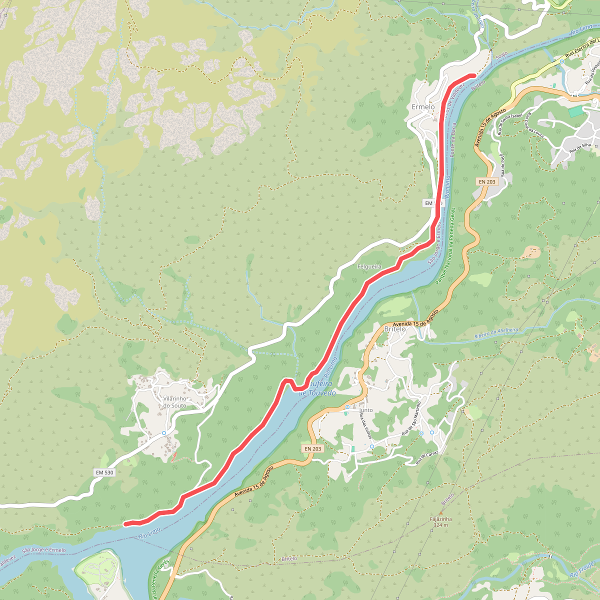
#2. Ecovia do Ermelo
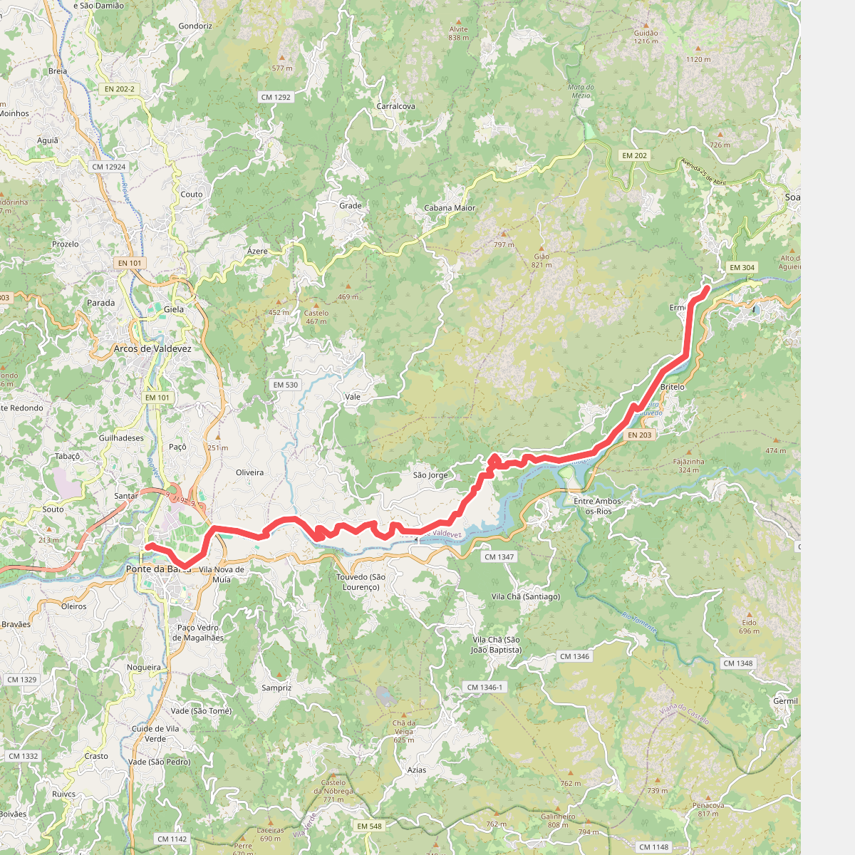
#3. Ecovia do Lima
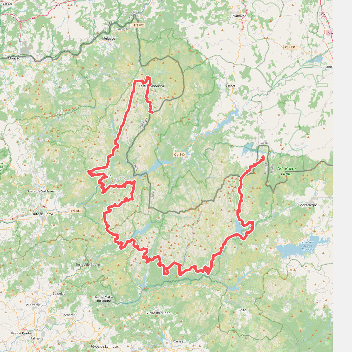
#4. Grande Rota Peneda-Gerês
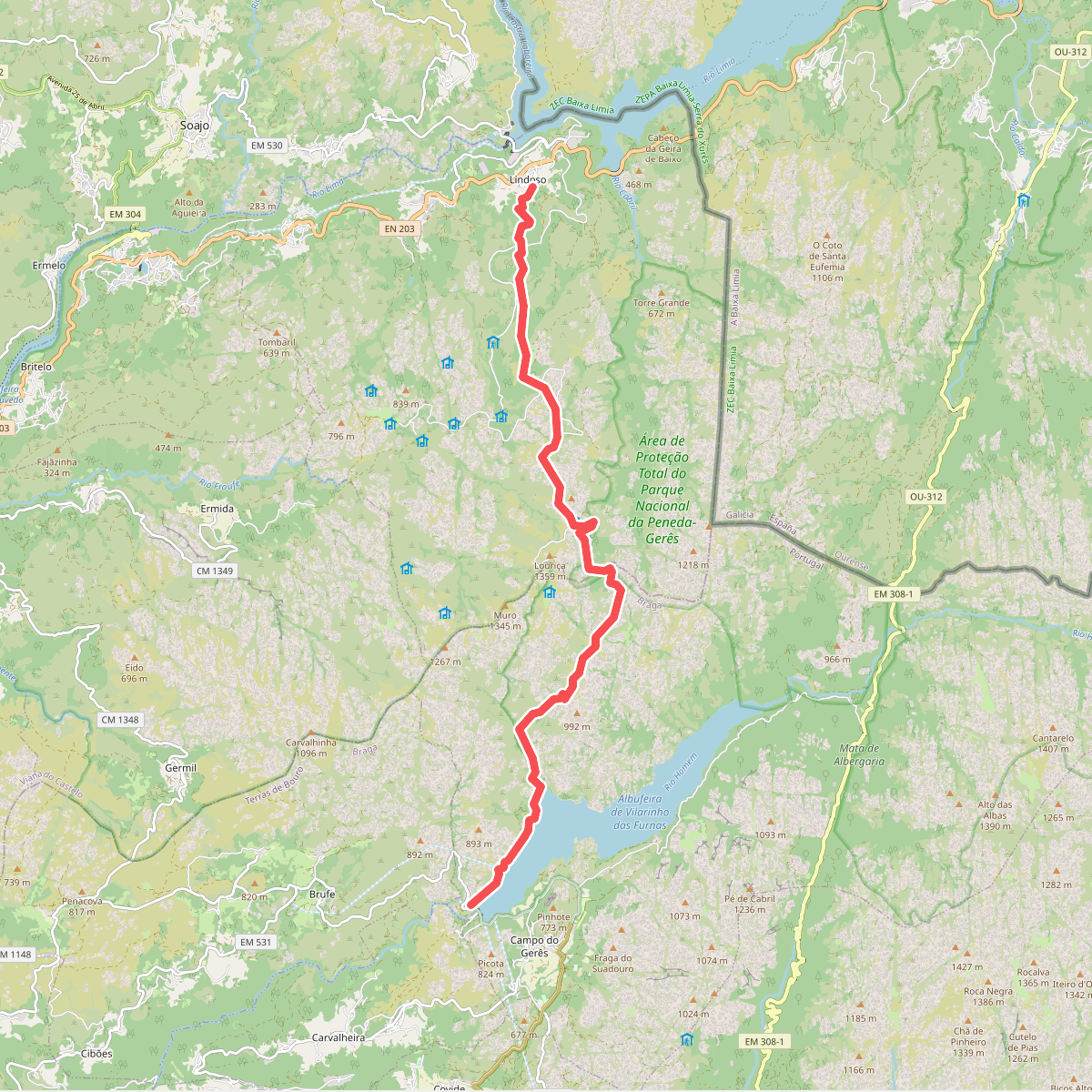
#5. Serra Amarela
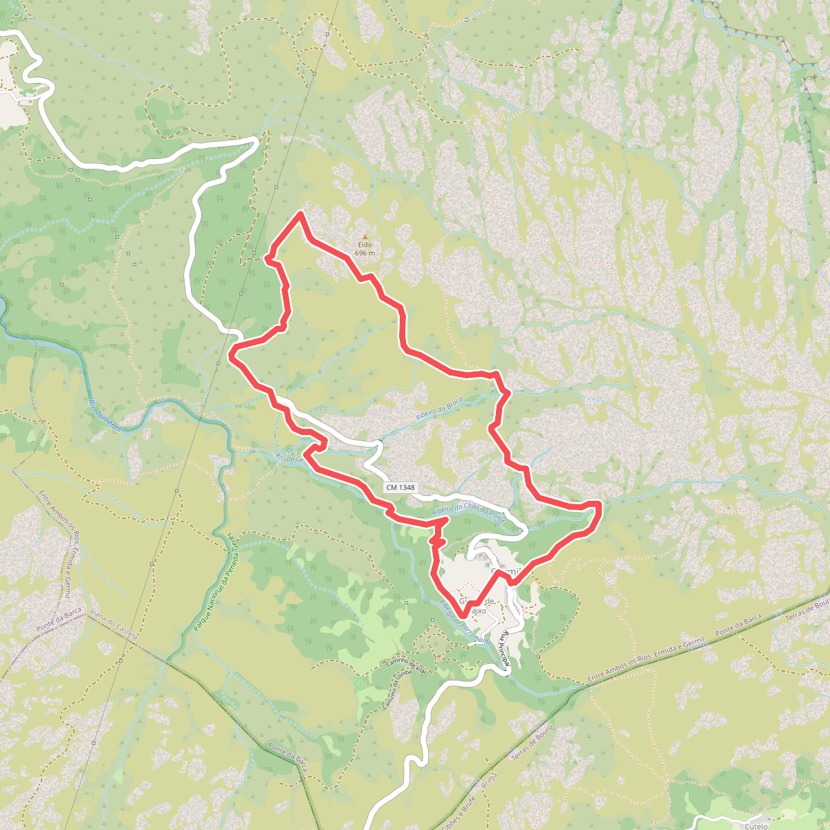
#6. Trilho de Germil
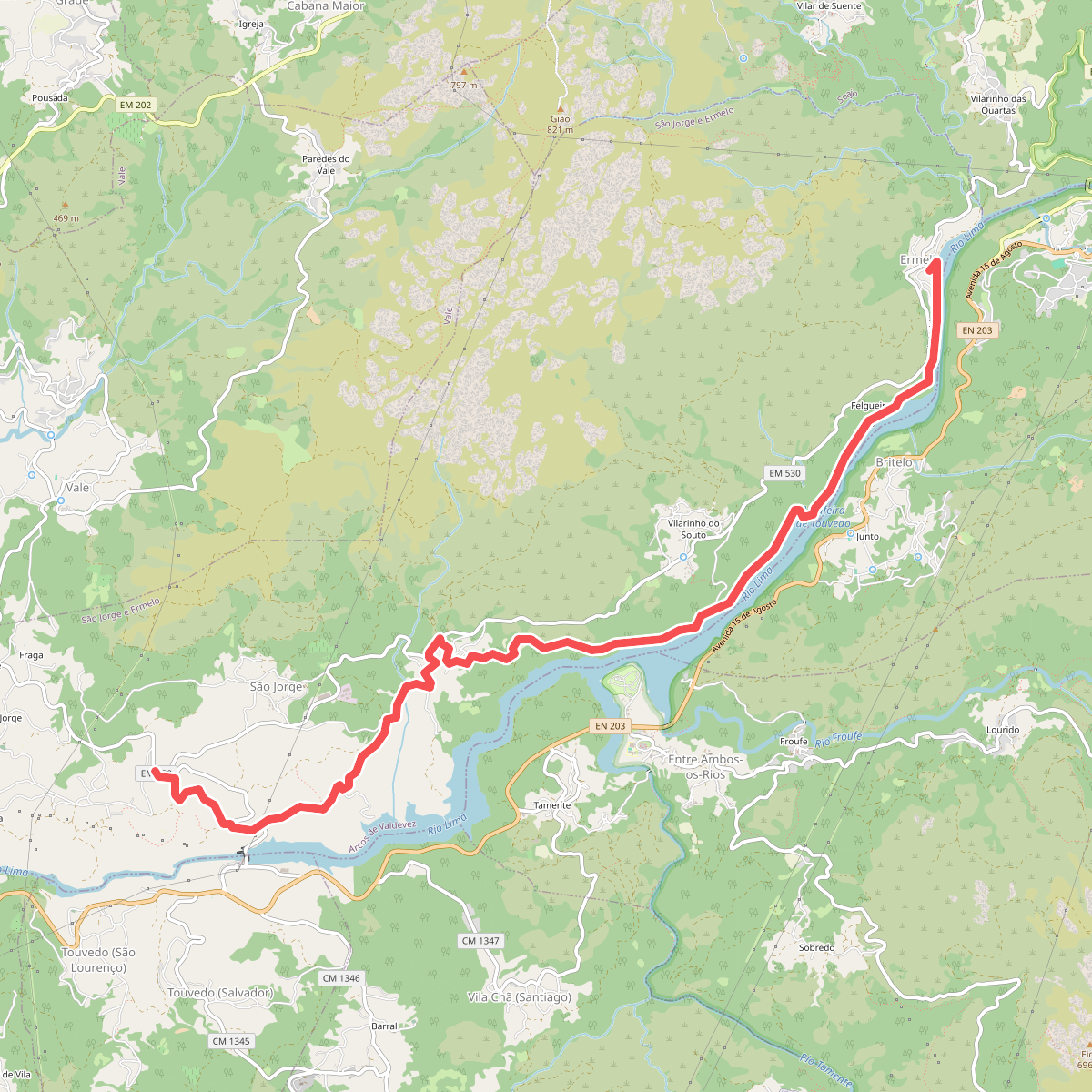
#7. Trilho dos Romeiros do Ermelo
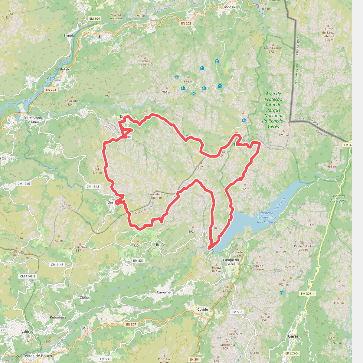
#8. Trilho Interpretativo da Serra Amarela