The best hiking routes in Lechtal-Nord
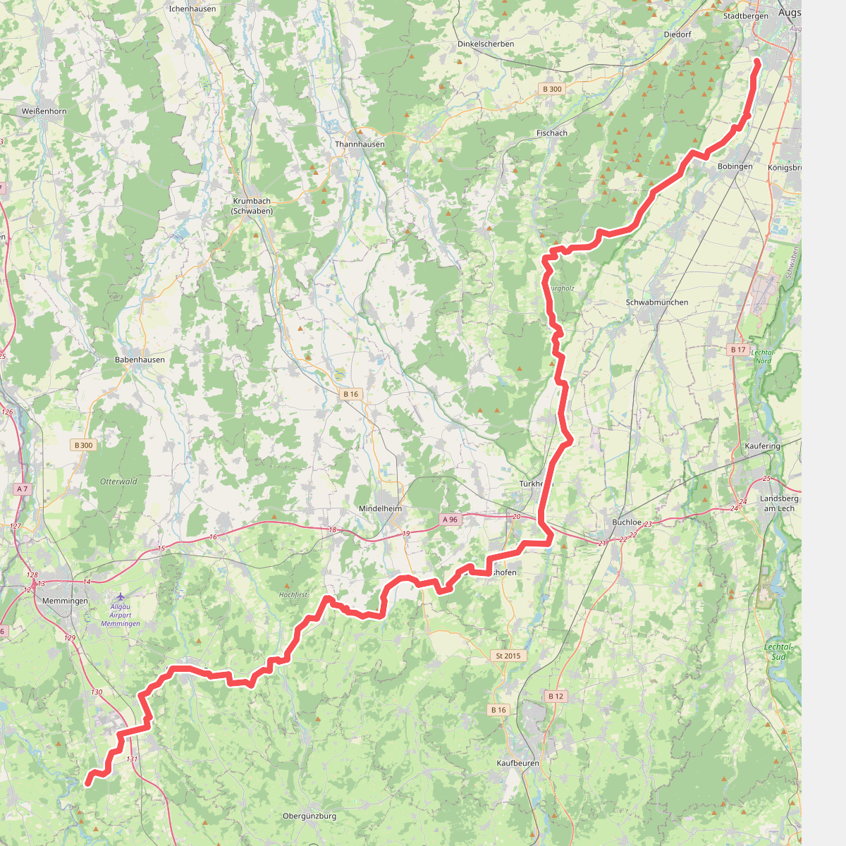
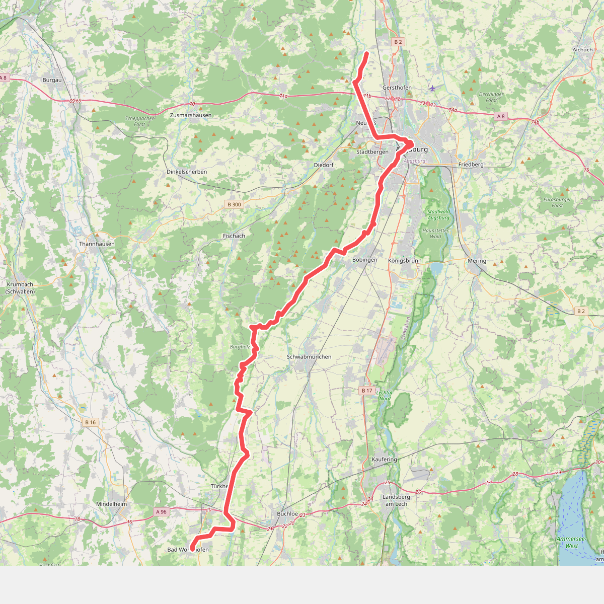
Discover the best walks in Lechtal-Nord. 2 routes on the map, with descriptions, photos and GPX.
About Lechtal-Nord
Lechtal-Nord covers the steep, forested northern slopes of the Lech Valley, characterized by dense mixed woodland, limestone cliffs, and rushing mountain torrents that feed into the main river below. Unlike the flat gravel banks of the valley floor, walking here involves navigating significant elevation on narrow, often root-cut forest paths and rocky tracks. The terrain is defined by its verticality, where pine and beech trees cling to the limestone crags, and deep ravines cut through the hillsides.
Read more
About Lechtal-Nord
Lechtal-Nord covers the steep, forested northern slopes of the Lech Valley, characterized by dense mixed woodland, limestone cliffs, and rushing mountain torrents that feed into the main river below. Unlike the flat gravel banks of the valley floor, walking here involves navigating significant elevation on narrow, often root-cut forest paths and rocky tracks. The terrain is defined by its verticality, where pine and beech trees cling to the limestone crags, and deep ravines cut through the hillsides.
Read moreLechtal-Nord covers the steep, forested northern slopes of the Lech Valley, characterized by dense mixed woodland, limestone cliffs, and rushing mountain torrents that feed into the main river below. Unlike the flat gravel banks of the valley floor, walking here involves navigating significant elevation on narrow, often root-cut forest paths and rocky tracks. The terrain is defined by its verticality, where pine and beech trees cling to the limestone crags, and deep ravines cut through the hillsides.
Underfoot, the paths are dominated by loose limestone scree, damp leaf litter, and exposed roots, requiring steady footing. As you ascend, the dense canopy occasionally opens up to reveal sheer rock faces and views across the valley, but the experience is primarily one of being enclosed by the forest and the mountain slope. The area lacks the high, open alpine meadows found in the southern ranges, focusing instead on rugged woodland navigation and steep climbs.
In late spring, around May, the melting snow from higher elevations fills the mountain torrents, making the sound of rushing water a constant companion along the lower trails. The higher paths remain shaded and cool under the thick canopy well into the summer. While the main valley paths below can attract cyclists and casual walkers, these northern slopes offer a steeper, more demanding walk where you are likely to encounter fewer people.