

The best hiking routes in Krkonošský národní park
Discover the best walks in Krkonošský národní park. 36 routes on the map, with descriptions, photos and GPX.
About Krkonošský národní park
Krkonošský národní park contains the highest elevations in the Czech Republic, but the landscape is defined by its flat, tundra-like high plateaus rather than sharp, jagged peaks. Walkers will find a distinct vertical transition. Lower slopes are covered in dense spruce forests, which give way to dwarf pine shrubs and vast peat bogs at higher elevations. The bedrock is mostly granite and crystalline schist, visible in dramatic glacial corries and isolated rock formations known as torrs.
Read more
About Krkonošský národní park
Krkonošský národní park contains the highest elevations in the Czech Republic, but the landscape is defined by its flat, tundra-like high plateaus rather than sharp, jagged peaks. Walkers will find a distinct vertical transition. Lower slopes are covered in dense spruce forests, which give way to dwarf pine shrubs and vast peat bogs at higher elevations. The bedrock is mostly granite and crystalline schist, visible in dramatic glacial corries and isolated rock formations known as torrs.
Read moreKrkonošský národní park contains the highest elevations in the Czech Republic, but the landscape is defined by its flat, tundra-like high plateaus rather than sharp, jagged peaks. Walkers will find a distinct vertical transition. Lower slopes are covered in dense spruce forests, which give way to dwarf pine shrubs and vast peat bogs at higher elevations. The bedrock is mostly granite and crystalline schist, visible in dramatic glacial corries and isolated rock formations known as torrs.
Underfoot, the trail conditions vary significantly depending on your altitude. The lower forest paths are often wide, gravelled forestry tracks or stony trails crisscrossed with tree roots. On the exposed ridges and peat bogs, the park authority has installed extensive wooden boardwalks to protect the fragile subalpine vegetation. Some of the main ridge trails are paved with large, uneven stone slabs that require careful stepping.
This park is highly accessible, meaning the main trail along the Polish border and the paths leading to the summit of Sněžka are often busy with visitors. Those seeking quieter walks should head to the lateral ridges or the deep valleys like Obří důl, where the glacial history of the landscape is most visible in the steep, amphitheatre-like valley walls.
Hiking routes in Krkonošský národní park (36)
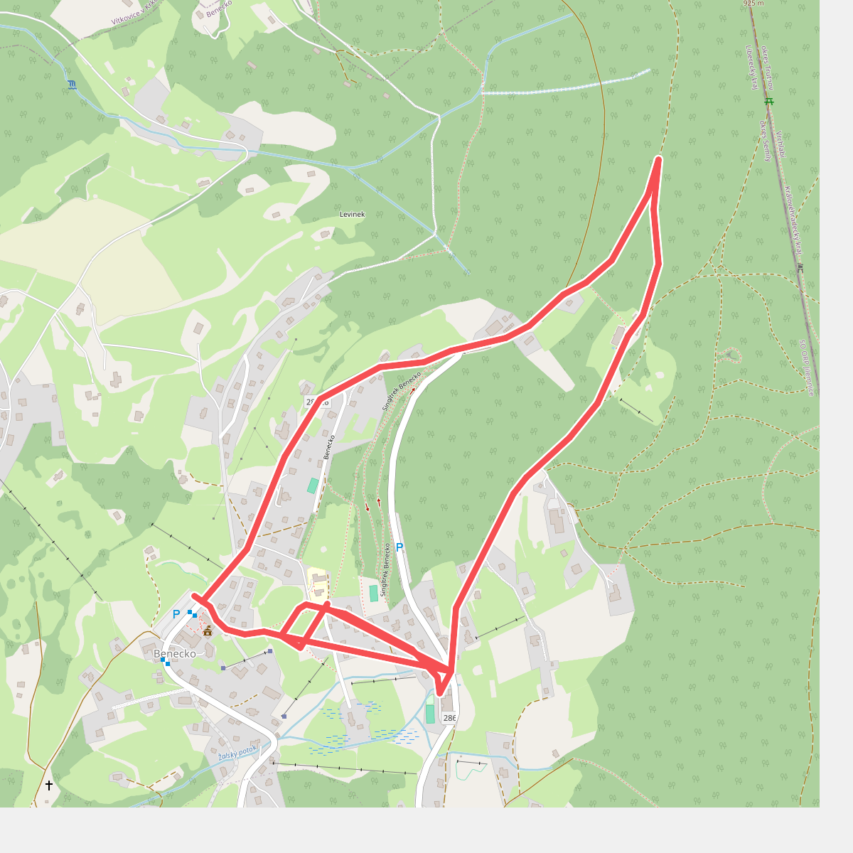
#1. Benecká přírodní stezka
Benecko
![[Č] Bucharova cesta](https://wandelweb.fsn1.your-objectstorage.com/tracks/static-maps/36821-1779134827-large.png)
#2. [Č] Bucharova cesta
Jilemnice,Benecko,Vrchlabí,Špindlerův Mlýn,Vítkovice
![[Č] Hejnice - Harrachov](https://wandelweb.fsn1.your-objectstorage.com/tracks/static-maps/37397-1779135015-large.png)
#3. [Č] Hejnice - Harrachov
Szklarska Poręba,Harrachov,Kořenov,Bílý Potok,Lázně Libverda,Hejnice
![[Č] místní okruh Rokytno - Horní Domky](https://wandelweb.fsn1.your-objectstorage.com/tracks/static-maps/37417-1779135020-large.png)
#4. [Č] místní okruh Rokytno - Horní Domky
Rokytnice nad Jizerou
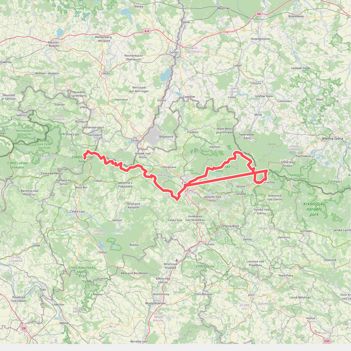
#5. European long distance path E3 - part Czech Republic, North East
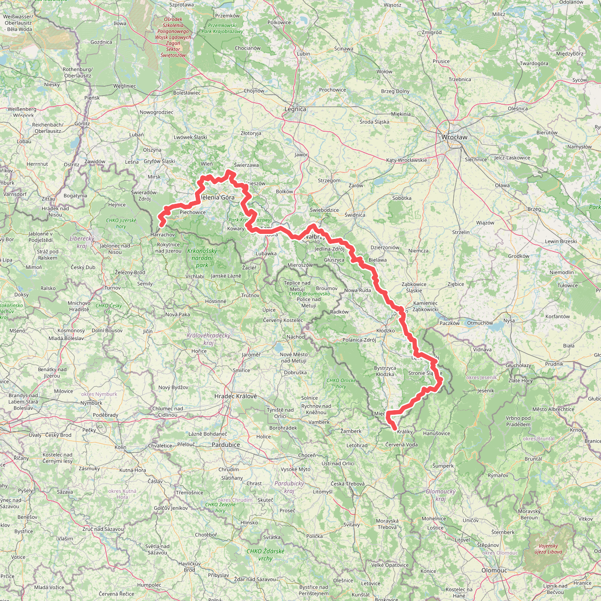
#6. European long distance path E3 - part Poland (west)
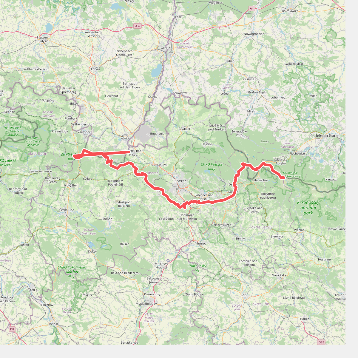
#7. Hřebenovka (Liberecký kraj)
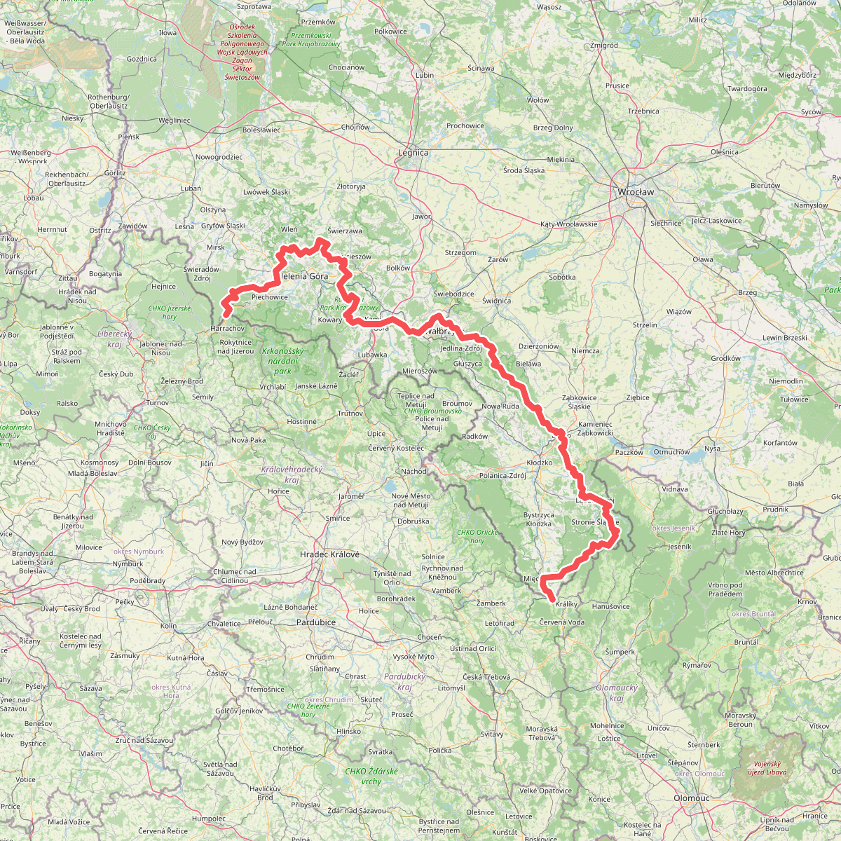
#8. Internationaler Bergwanderweg Eisenach–Budapest (Polen West)
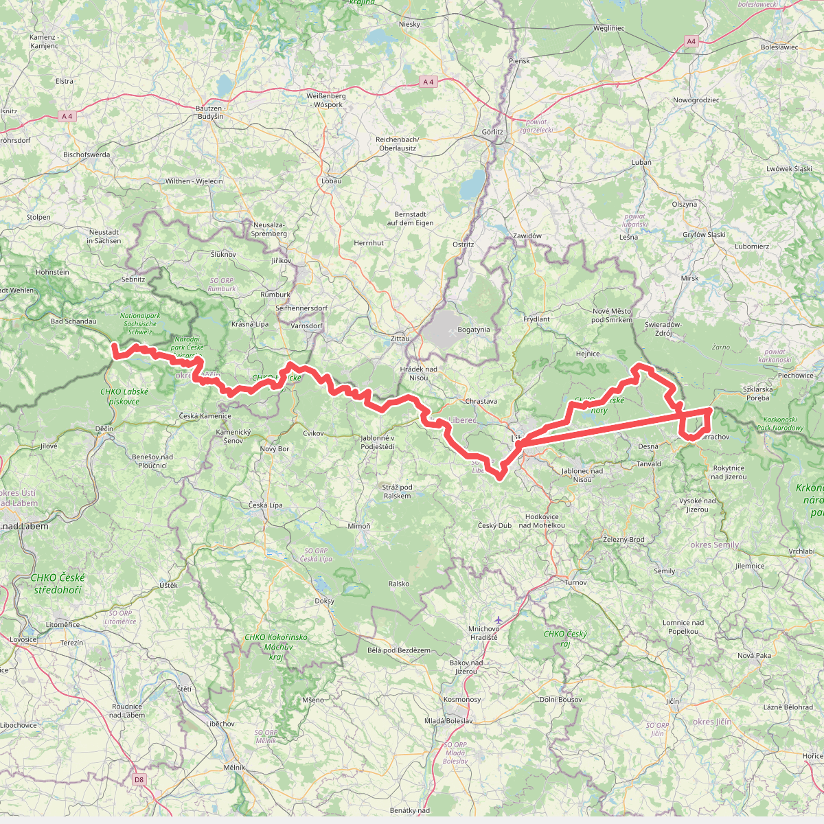
#9. Internationaler Bergwanderweg Eisenach–Budapest (Tschechien West)
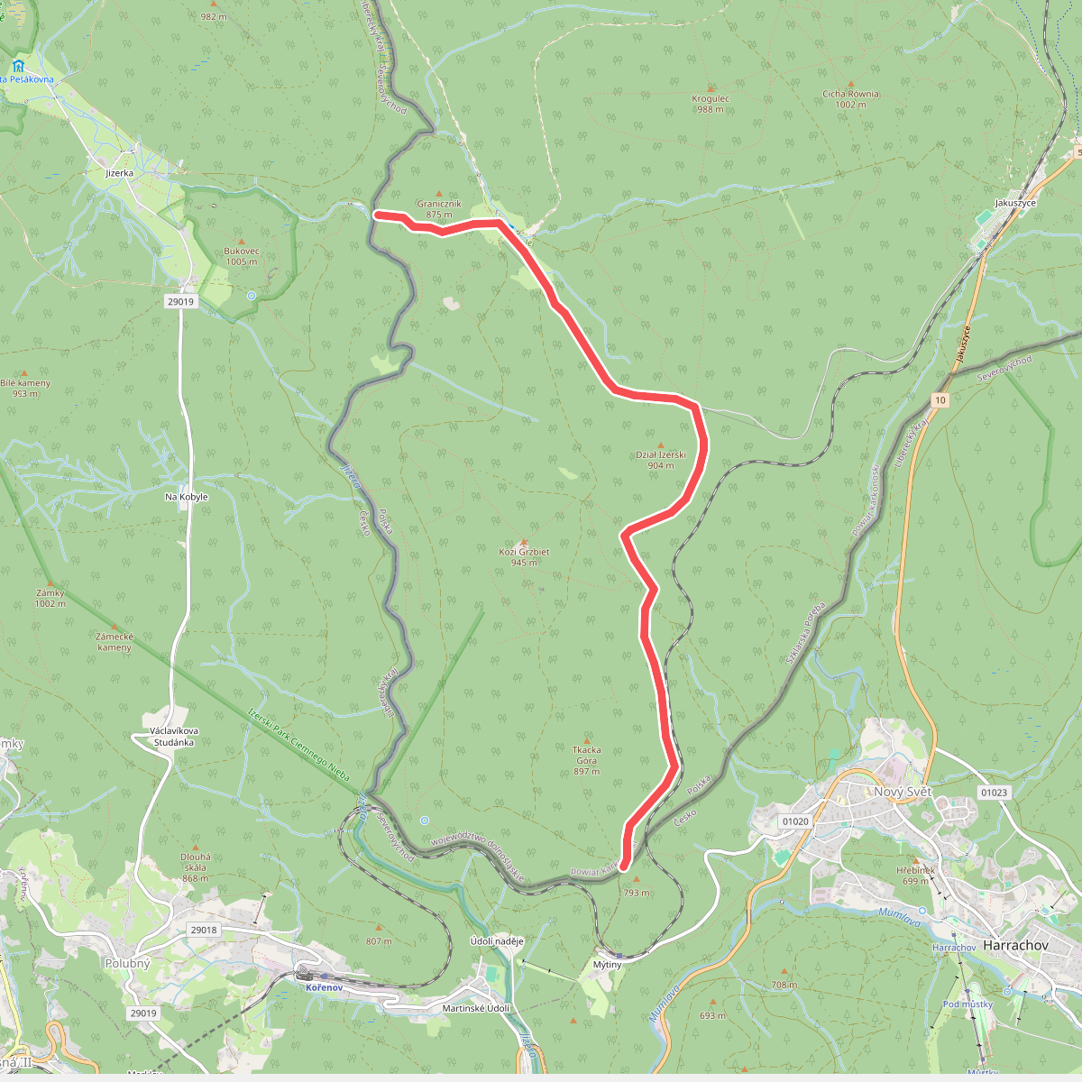
#10. Karlovský most (granica) - do Harrachova (granica)
Szklarska Poręba
![[M] Harrachov (camp) - Harrachov (cz/pl)](https://wandelweb.fsn1.your-objectstorage.com/tracks/static-maps/37401-1779135016-large.png)
#11. [M] Harrachov (camp) - Harrachov (cz/pl)
Szklarska Poręba,Harrachov
![[M] Harrachov - Špindlerův mlýn](https://wandelweb.fsn1.your-objectstorage.com/tracks/static-maps/37402-1779135016-large.png)
#12. [M] Harrachov - Špindlerův mlýn
Harrachov,Rokytnice nad Jizerou,Vítkovice,Špindlerův Mlýn



