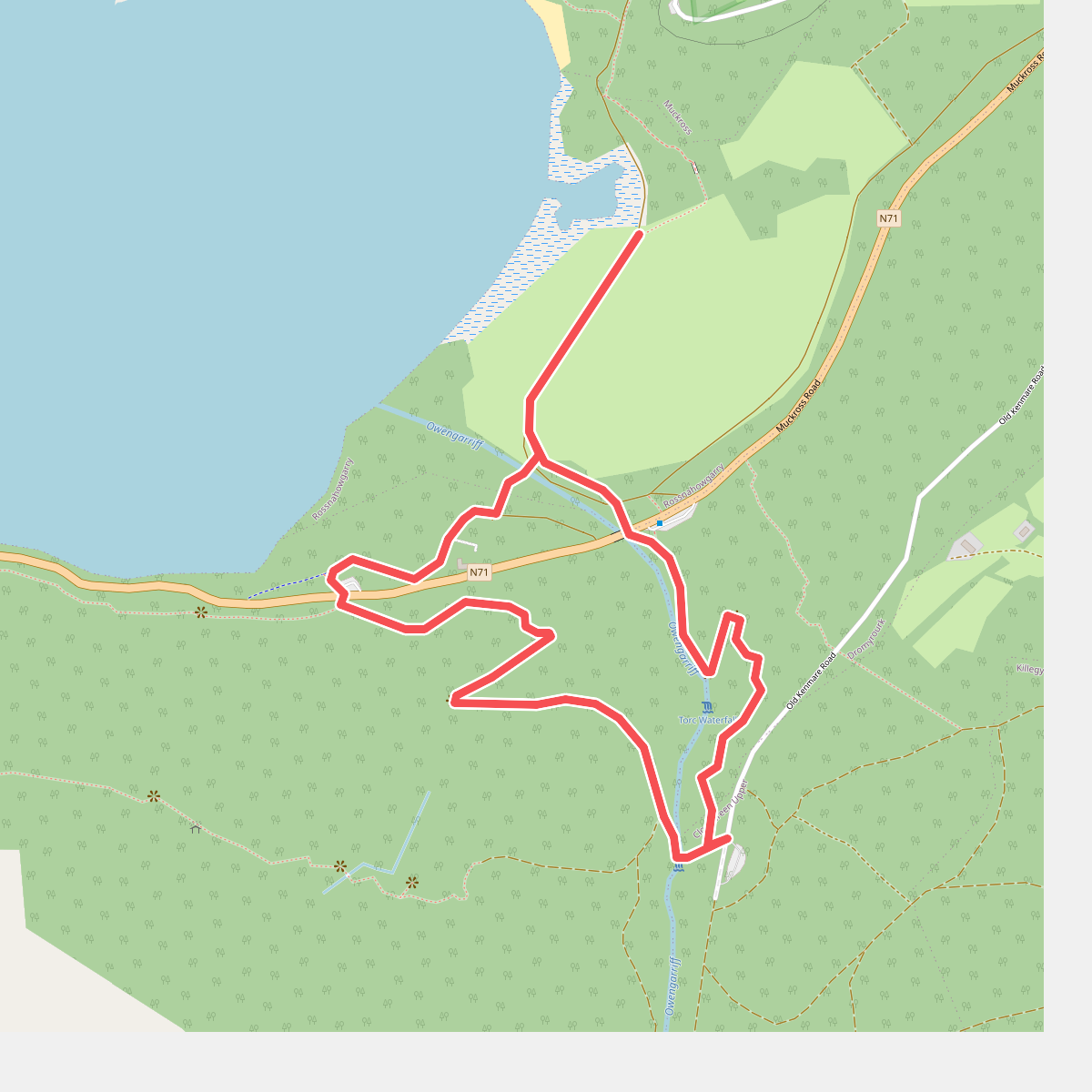
The best hiking routes in Killarney National Park
Discover the best walks in Killarney National Park. 8 routes on the map, with descriptions, photos and GPX.
Managed by National Parks and Wildlife Service
About Killarney National Park
Killarney National Park is defined by a stark contrast between its low-lying lake basins and the steep sandstone slopes of the McGillycuddy's Reeks that border them. Walkers here will find two distinct landscapes. The valley floor features ancient oak woodlands and flat, paved paths around Muckross Lake, where the terrain is level and easy to navigate. In contrast, ascending towards the Torc Mountain tracks or the Gap of Dunloe transition zone brings you onto rougher, gravelly paths and open wet heath where peat underfoot is common.
Read more
About Killarney National Park
Killarney National Park is defined by a stark contrast between its low-lying lake basins and the steep sandstone slopes of the McGillycuddy's Reeks that border them. Walkers here will find two distinct landscapes. The valley floor features ancient oak woodlands and flat, paved paths around Muckross Lake, where the terrain is level and easy to navigate. In contrast, ascending towards the Torc Mountain tracks or the Gap of Dunloe transition zone brings you onto rougher, gravelly paths and open wet heath where peat underfoot is common.
Read moreKillarney National Park is defined by a stark contrast between its low-lying lake basins and the steep sandstone slopes of the McGillycuddy's Reeks that border them. Walkers here will find two distinct landscapes. The valley floor features ancient oak woodlands and flat, paved paths around Muckross Lake, where the terrain is level and easy to navigate. In contrast, ascending towards the Torc Mountain tracks or the Gap of Dunloe transition zone brings you onto rougher, gravelly paths and open wet heath where peat underfoot is common.
The vegetation tells the story of the park's acidic soils and high rainfall. You will notice thick carpets of moss, ferns, and wild rhododendron choking the oak understory, while the open boglands are dominated by purple moor grass and heather. The lower, paved loops around Muckross House are highly accessible and can become busy with horse-drawn jaunting cars and cyclists. If you prefer rougher ground, the higher trails consist of loose stone and timber boardwalks designed to protect the fragile bog.
This park is not a dry, sandy pine forest or a high-altitude alpine environment. It is a temperate rainforest and peatland park where water is the dominant feature, visible in the lakes, streams, and waterfalls that cross the paths. While the lower woodland trails offer shelter, the higher routes are completely exposed to the elements with no tree cover, requiring sturdy footwear for the rocky, uneven steps.
Hiking routes in Killarney National Park (8)
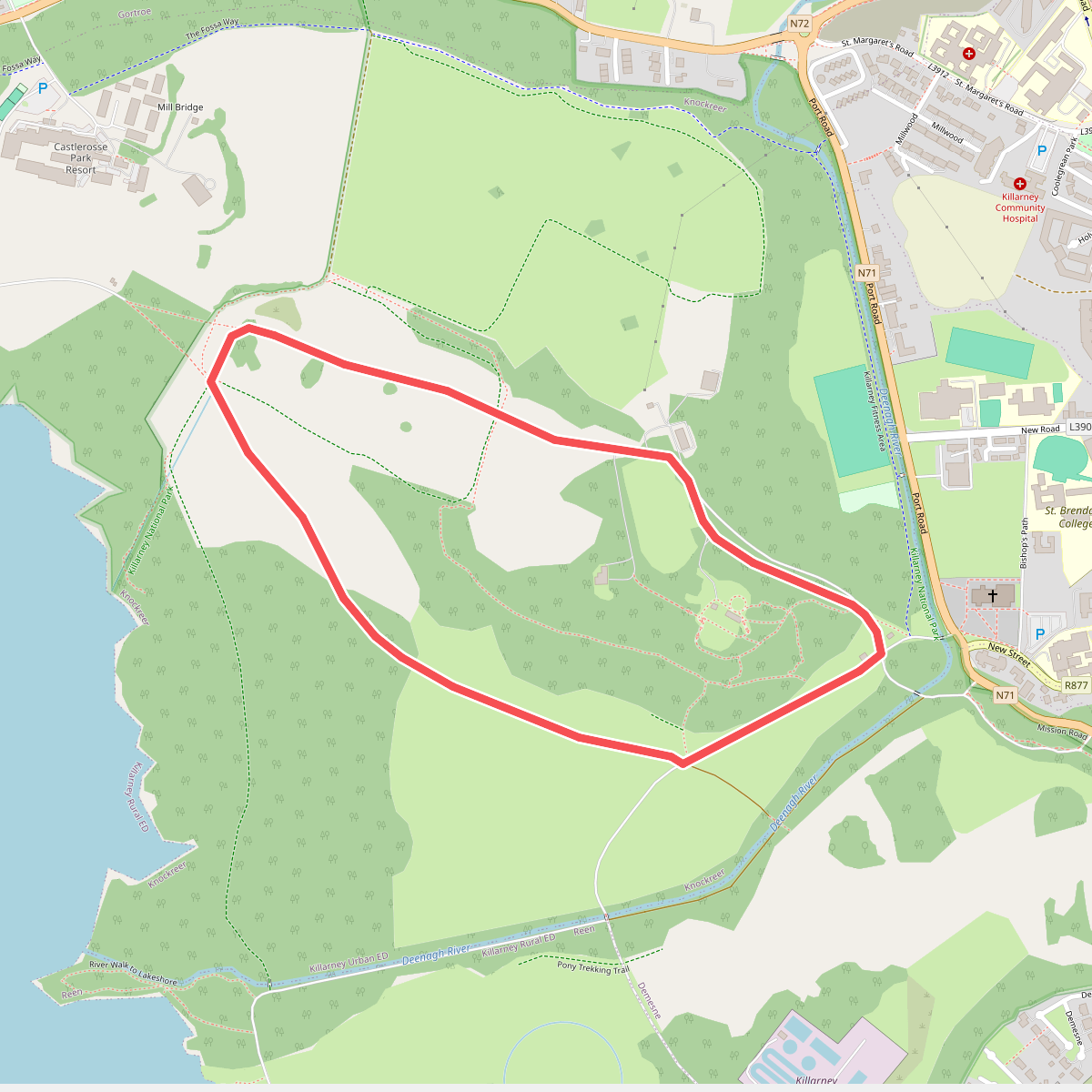
#1. Circular Walk
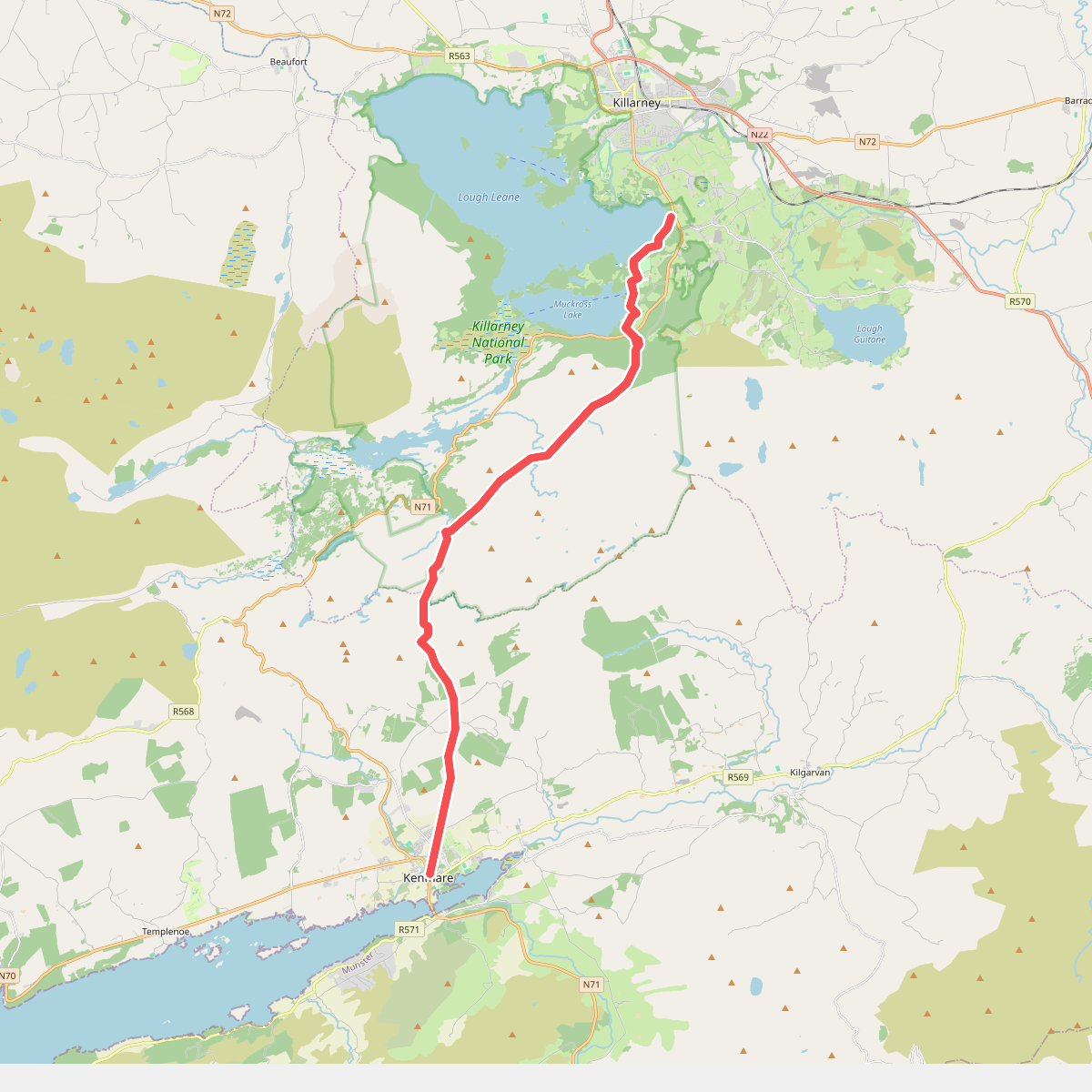
#2. Kenmare - Killarney
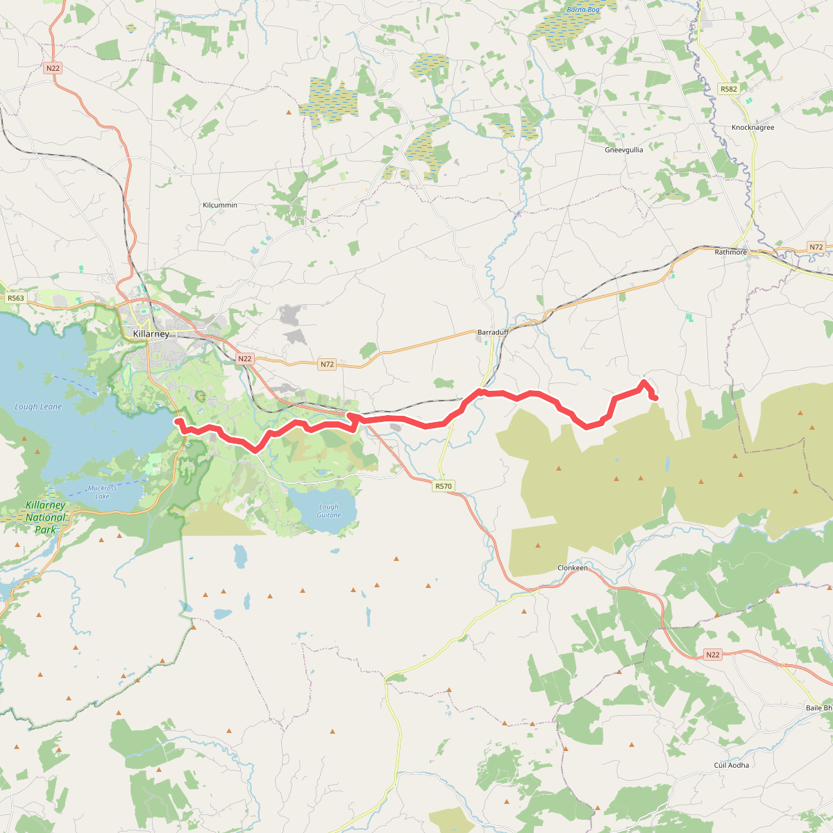
#3. Killarney - Shrone
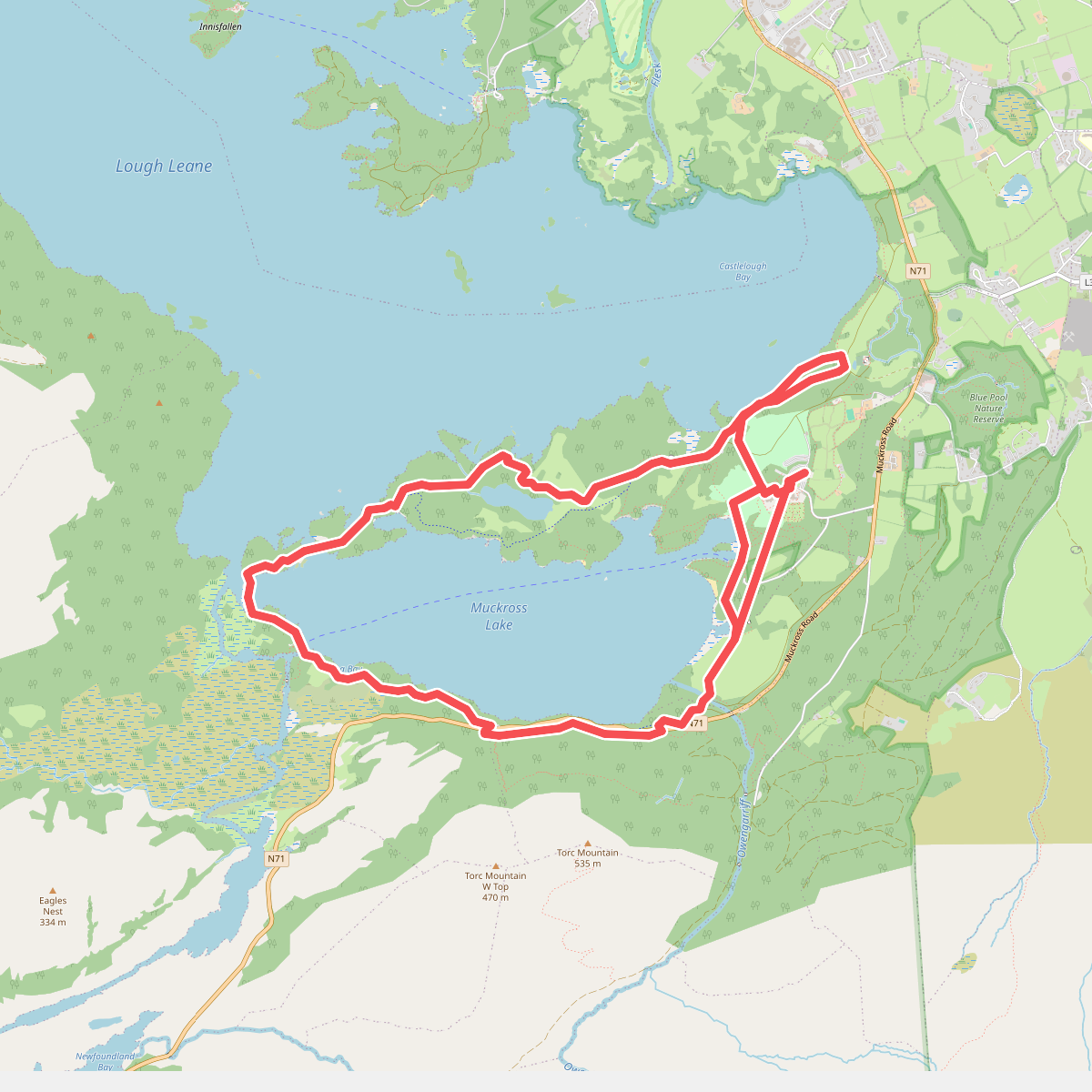
#4. Muckross Lake Walk
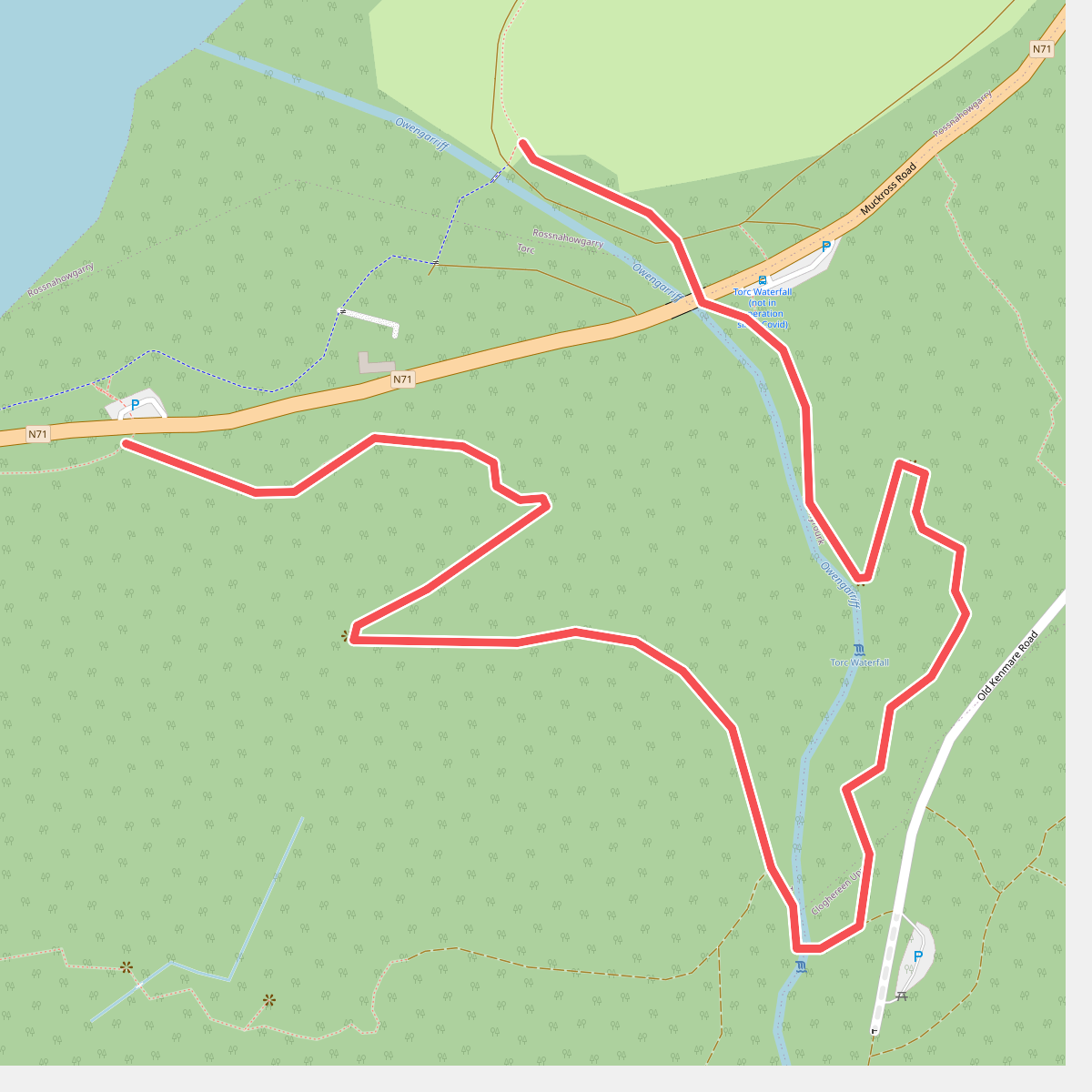
#5. Muckross Lake Walk
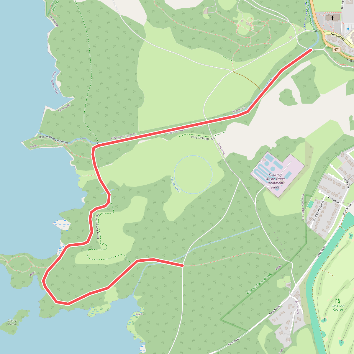
#6. River Walk
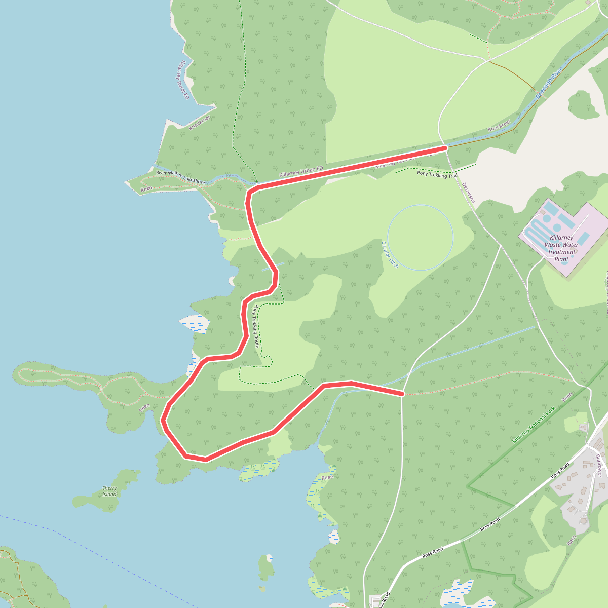
#7. Ross Castle Ringway