

The best hiking routes in Kerkener Bruch
Discover the best walks in Kerkener Bruch. 8 routes on the map, with descriptions, photos and GPX.
About Kerkener Bruch
Kerkener Bruch is a low-lying, damp depression in the Lower Rhine region, characterized by its network of drainage ditches, wet meadows, and patches of swampy woodland. Unlike the dry, sandy pine forests found on nearby ridges, this area is defined by its heavy clay soils and high water table. Walkers will find a flat, agricultural-fringe landscape where rows of pollard willows line the drainage channels, a testament to centuries of water management designed to keep the pastures usable.
Read more
About Kerkener Bruch
Kerkener Bruch is a low-lying, damp depression in the Lower Rhine region, characterized by its network of drainage ditches, wet meadows, and patches of swampy woodland. Unlike the dry, sandy pine forests found on nearby ridges, this area is defined by its heavy clay soils and high water table. Walkers will find a flat, agricultural-fringe landscape where rows of pollard willows line the drainage channels, a testament to centuries of water management designed to keep the pastures usable.
Read moreKerkener Bruch is a low-lying, damp depression in the Lower Rhine region, characterized by its network of drainage ditches, wet meadows, and patches of swampy woodland. Unlike the dry, sandy pine forests found on nearby ridges, this area is defined by its heavy clay soils and high water table. Walkers will find a flat, agricultural-fringe landscape where rows of pollard willows line the drainage channels, a testament to centuries of water management designed to keep the pastures usable.
Underfoot, the paths are a mix of unpaved, grassy farm tracks and gravel lanes that can feel soft and yielding. There are no boardwalks or sandy dunes here, and the terrain remains consistently level with no elevation changes. The walking experience is straightforward, following the straight lines of the drainage network rather than winding forest trails.
In late spring, particularly around May, the damp meadows are marked by blooming wild herbs and marsh plants, which distinguish these fields from more intensively farmed plots nearby. While the area is generally quiet, the paths closer to the edges of Kerken can see regular local use, whereas the deeper interior sections along the ditches offer a more solitary, agricultural atmosphere.
Hiking routes in Kerkener Bruch (8)
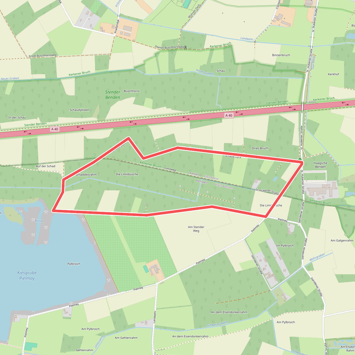
#1. blauer Pfeil
Kerken,Kempen
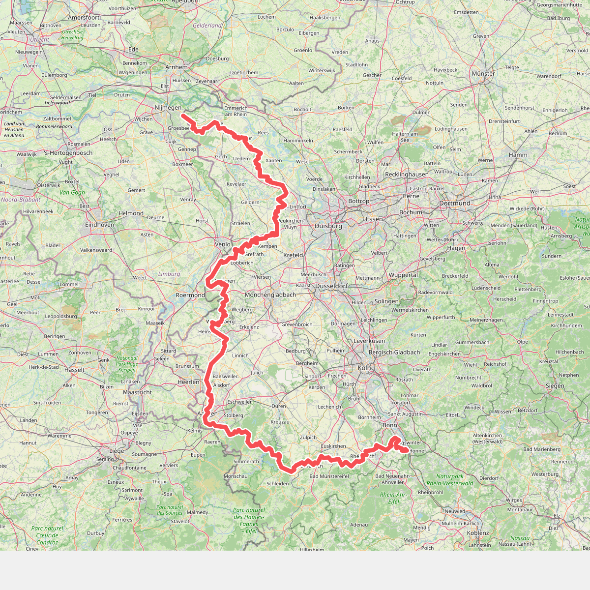
#2. Europäischer Fernwanderweg E8, Nordrhein-Westfalen
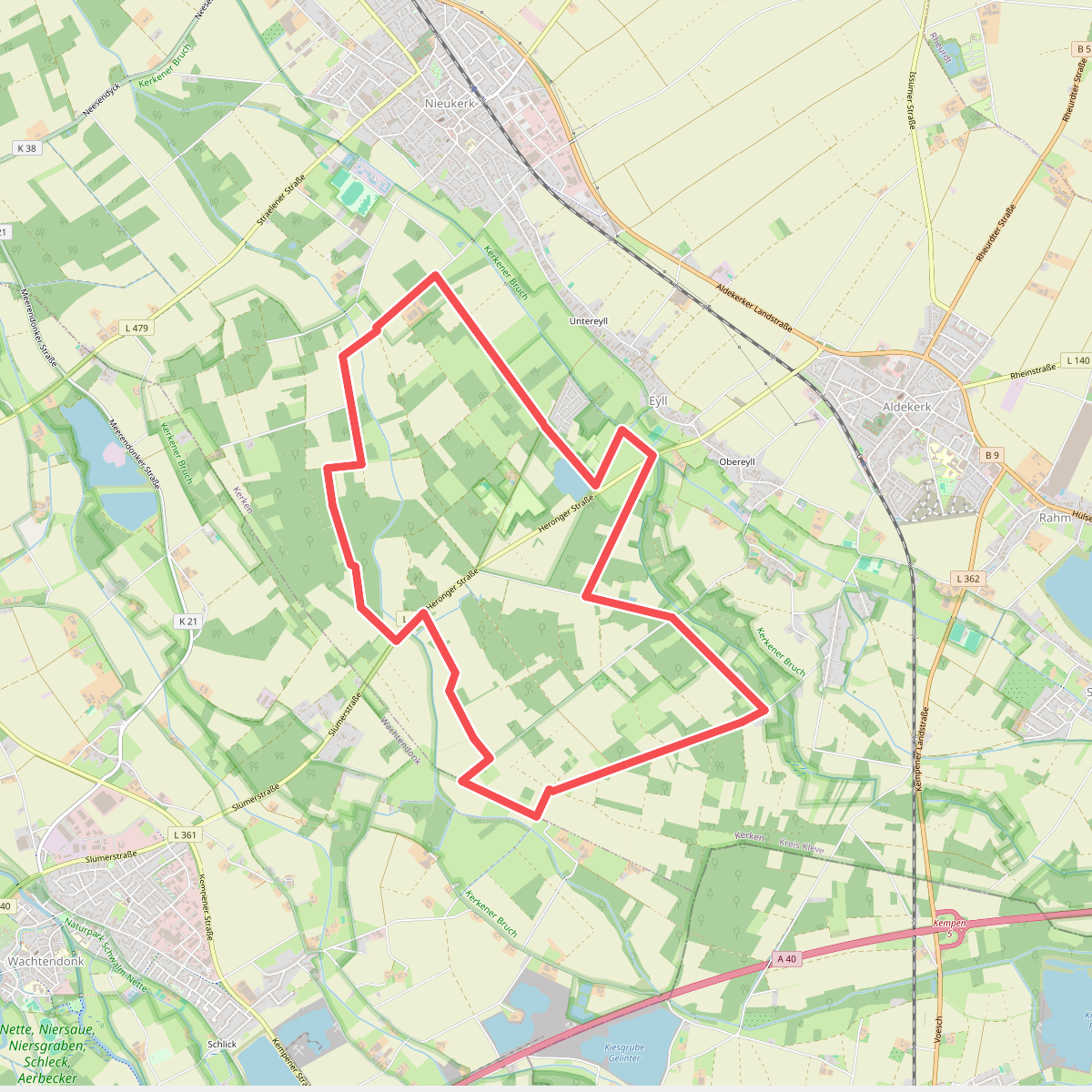
#3. Eyller See Rundweg A1
Kerken
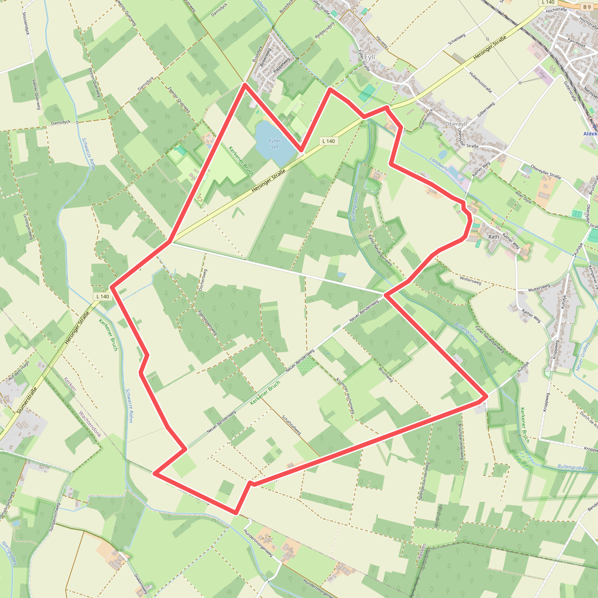
#4. Eyller See Rundweg A3
Kerken,Wachtendonk
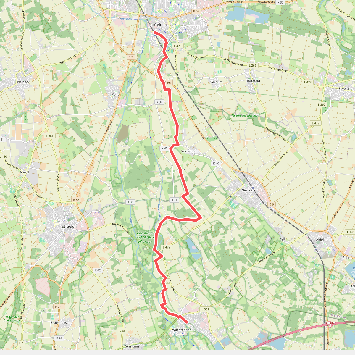
#5. Geldern station - Wachtendonk · Maas-Niederrheinpad etappe 10
Wachtendonk,Kerken,Geldern
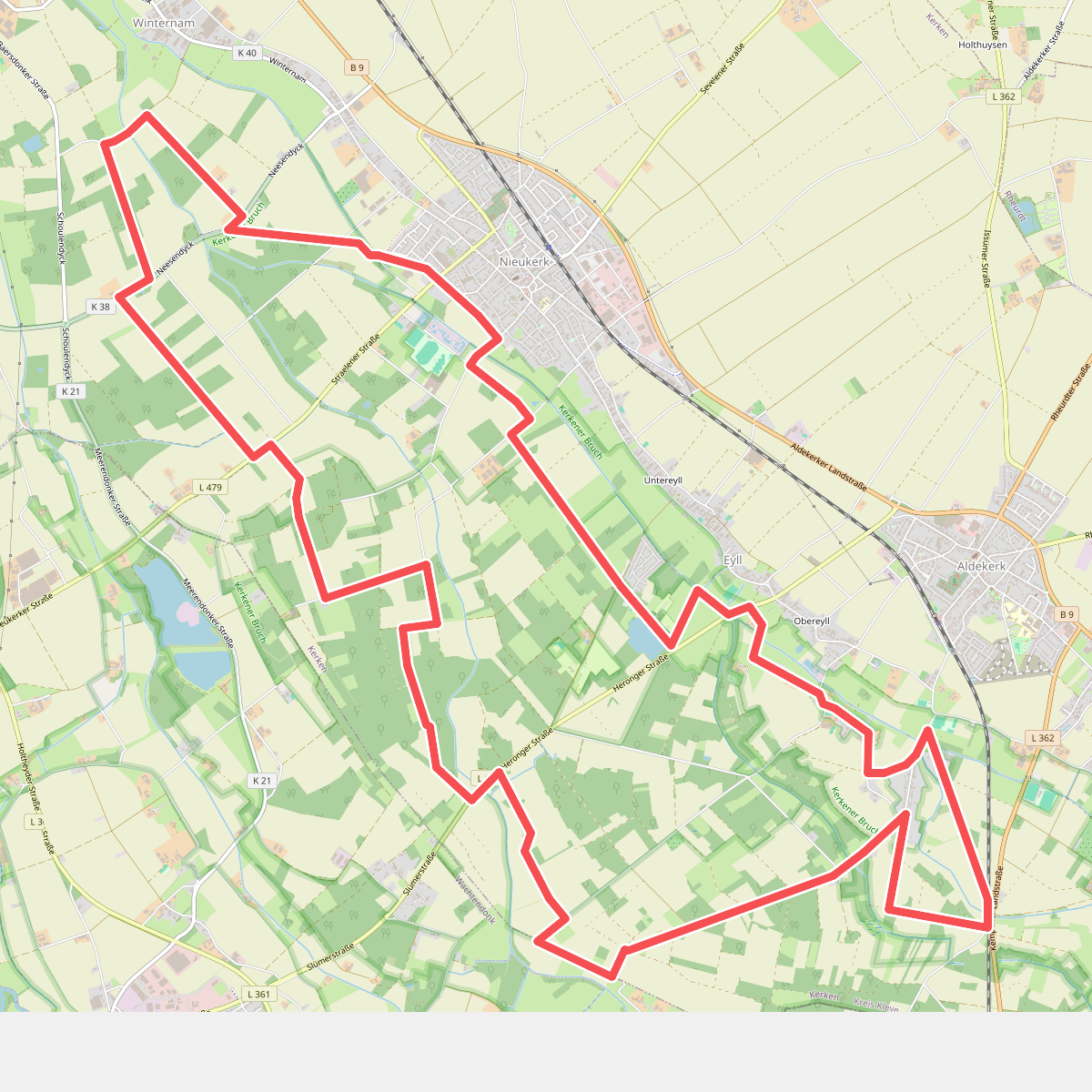
#6. Nieukerk Rundweg
Kerken
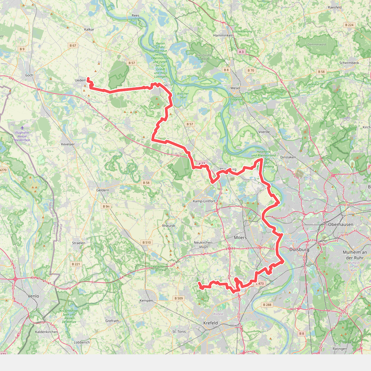
#7. Rheinauenweg
Krefeld,Duisburg,Rheinberg,Kamp-Lintfort,Alpen,Xanten,Sonsbeck,Uedem
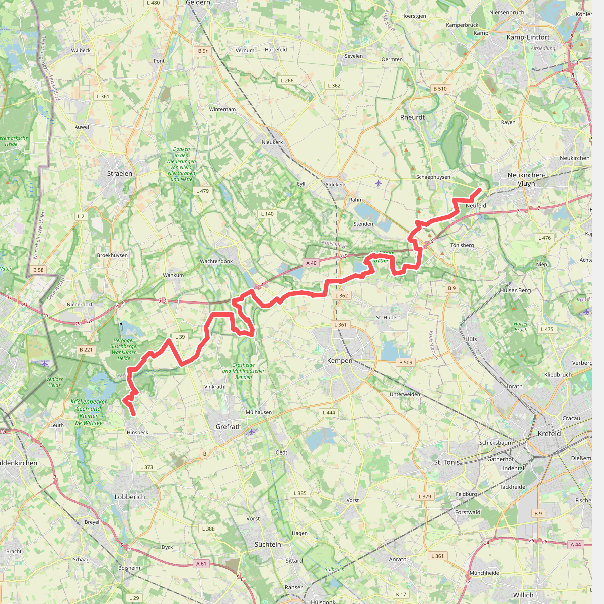
#8. Vluyn - Hinsbeck
Rheurdt,Kerken,Kempen,Wachtendonk,Nettetal



