

The best hiking routes in Kempen~Broek
Discover the best walks in Kempen~Broek. 28 routes on the map, with descriptions, photos and GPX.
Managed by Projectbureau Grenspark Kempen~Broek
About Kempen~Broek
Kempen~Broek is a sprawling, low-lying border landscape where water dictates the terrain. Unlike the dry pine forests and high dunes found in other parts of the region, this area is a mosaic of marshes, wet alder forests, and small-scale agricultural fields. The landscape is flat, shaped by a network of streams and drainage ditches that historically kept the bogs passable. You will notice a constant transition between damp, dark woodlands and open, grassy fens.
Read more
About Kempen~Broek
Kempen~Broek is a sprawling, low-lying border landscape where water dictates the terrain. Unlike the dry pine forests and high dunes found in other parts of the region, this area is a mosaic of marshes, wet alder forests, and small-scale agricultural fields. The landscape is flat, shaped by a network of streams and drainage ditches that historically kept the bogs passable. You will notice a constant transition between damp, dark woodlands and open, grassy fens.
Read moreKempen~Broek is a sprawling, low-lying border landscape where water dictates the terrain. Unlike the dry pine forests and high dunes found in other parts of the region, this area is a mosaic of marshes, wet alder forests, and small-scale agricultural fields. The landscape is flat, shaped by a network of streams and drainage ditches that historically kept the bogs passable. You will notice a constant transition between damp, dark woodlands and open, grassy fens.
Underfoot, the paths vary significantly depending on where you cross the border. Low-lying sections feature wooden boardwalks to help you navigate the wettest peat soils, while slightly higher ridges consist of loose, sandy tracks. In late spring, around May, the damp meadows are marked by yellow irises, while the drier sandy patches support heather and gorse. It is a working landscape where old watermills and drainage channels are still visible from the trail.
This is not a place for sweeping panoramic views or dramatic elevation changes. The horizon is consistently broken by rows of poplars, willow thickets, and small woodlots. While popular trailheads near the visitor centers can be busy on weekends, the muddy interior paths and quieter border crossings offer a more solitary walking experience for those prepared for damp ground.
Hiking routes in Kempen~Broek (28)
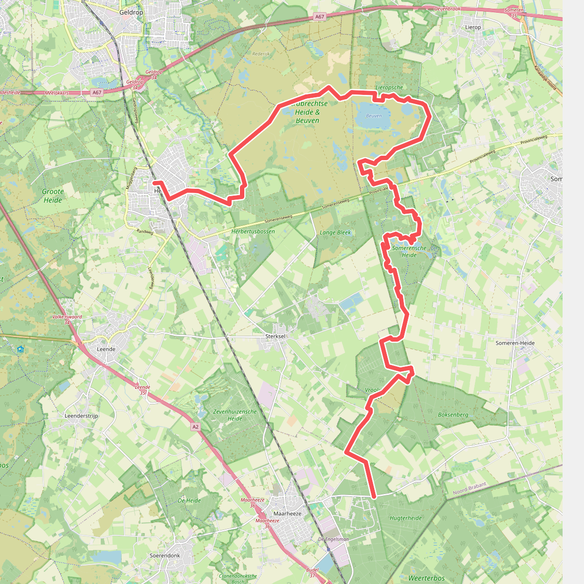
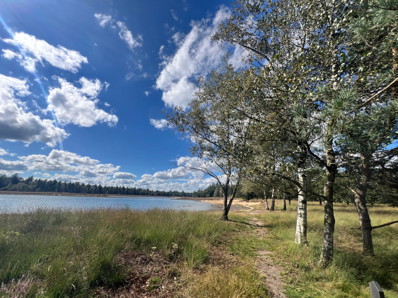
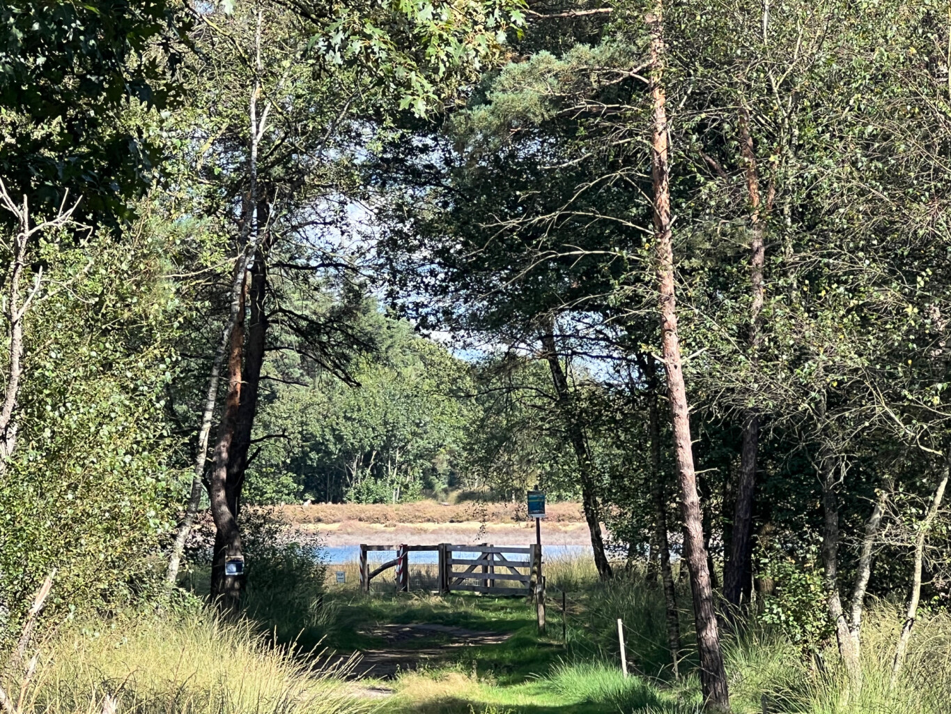
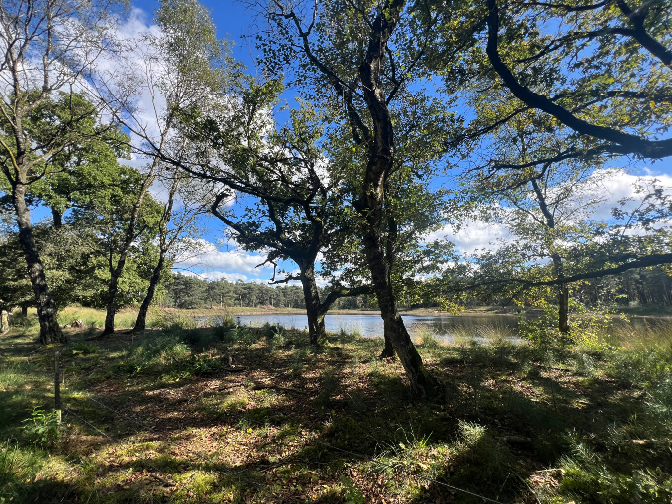
#1. Heeze station - Maarheeze station · Pelgrimspad etappe 17
Maarheeze,Someren,Sterksel,Lierop,Heeze
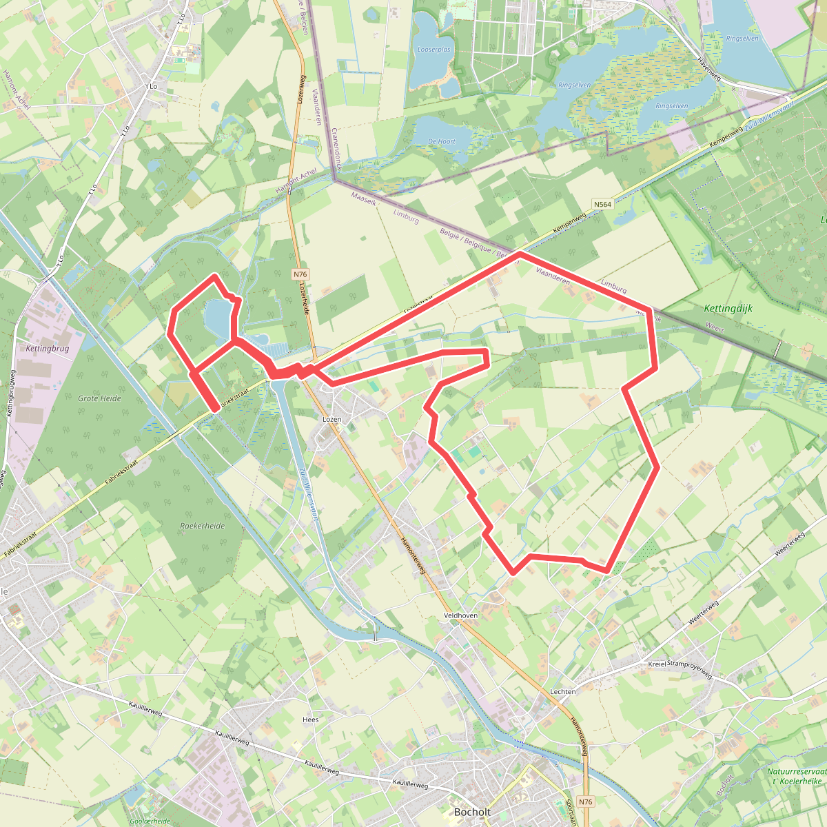
#2. Lozerheide Bocholt
Weert
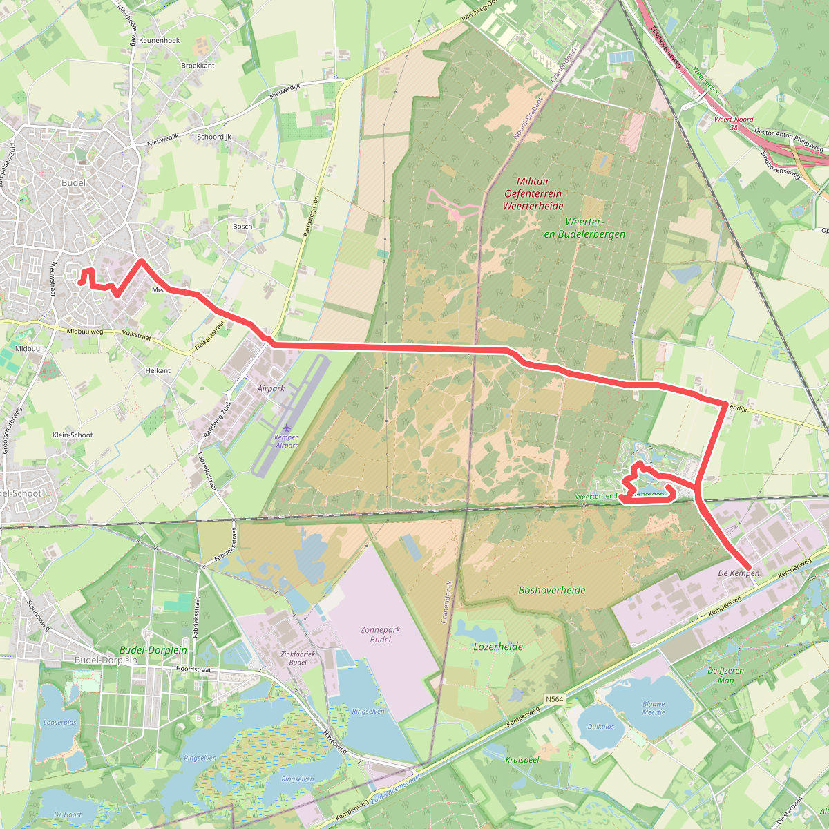
#3. 1e 4daagse training
Budel,Weert
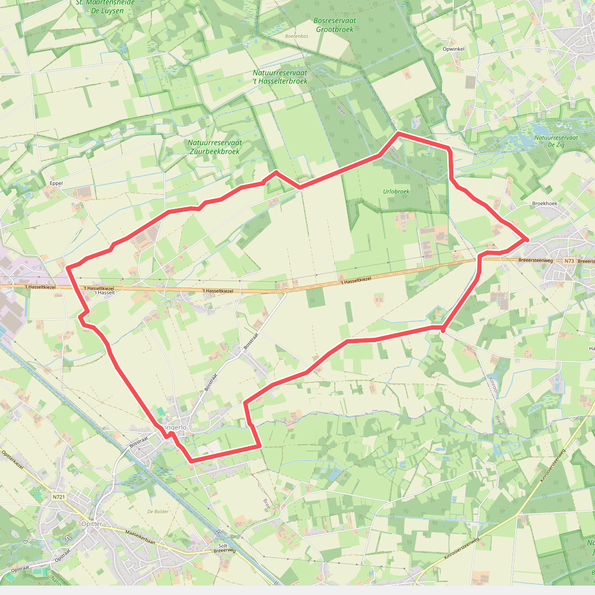
#4. Abdijdorp
Bree,Kinrooi
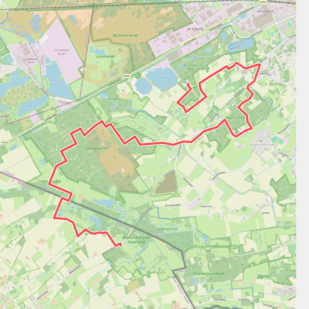
#5. Bocholt - IJzerenman · Graaf van Hornepad etappe 4
Weert,Budel-Dorplein
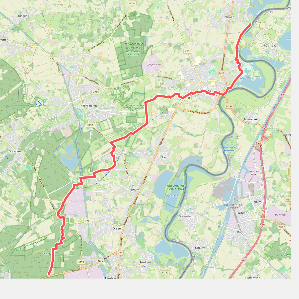
#6. Dilserbos - Ophoven · Rondje Limburg etappe 3
Ohé en Laak,Roosteren
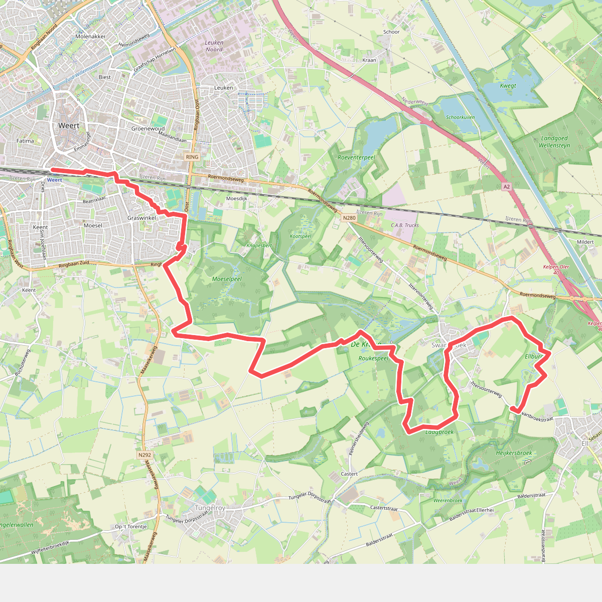
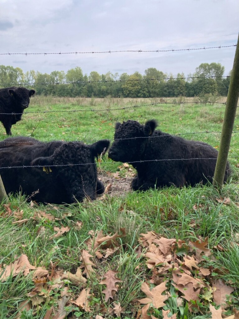

#7. Ell - Weert · Graaf van Hornepad etappe 1
Ell,Weert
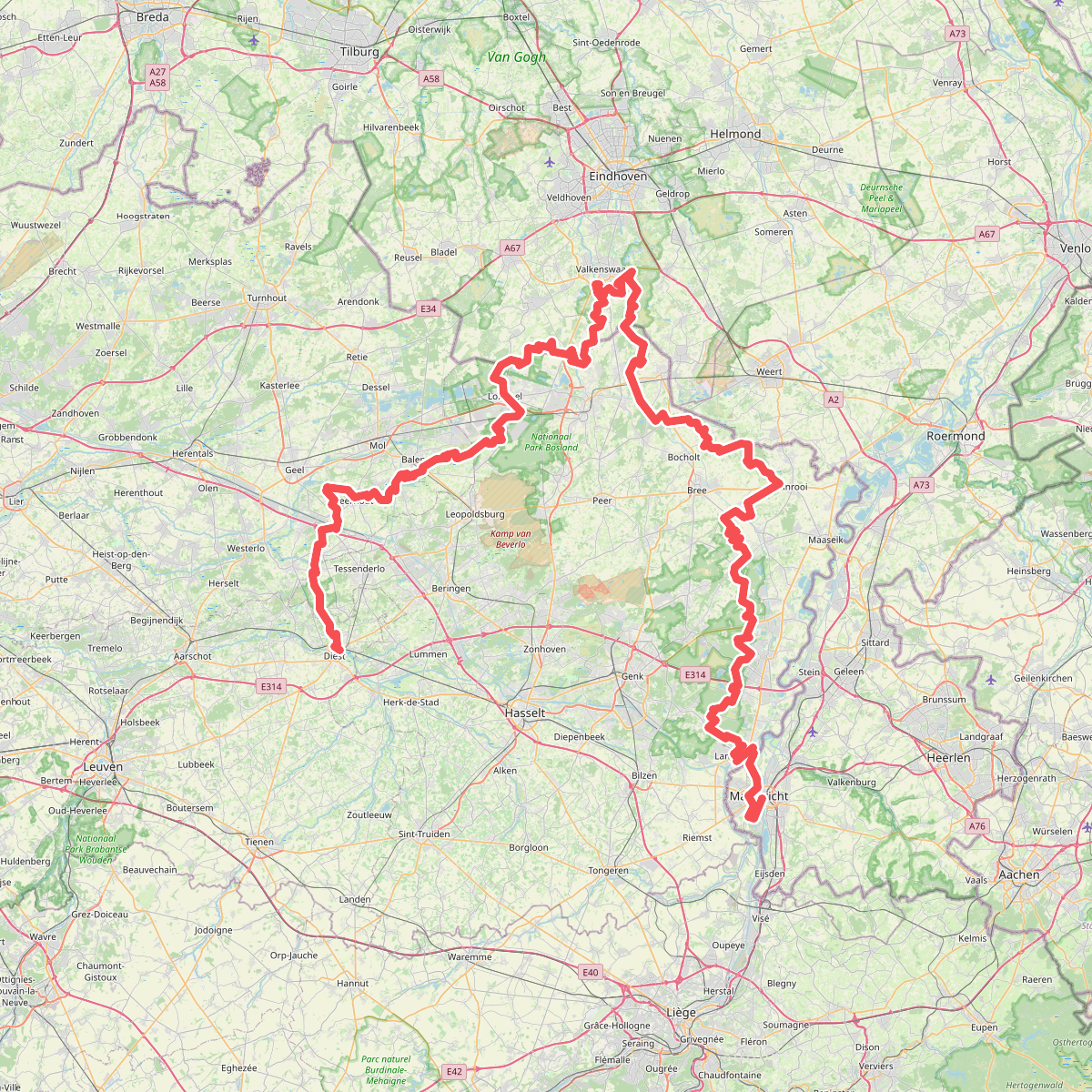
#8. GR 561
Diest,Molenstede,Schaffen,Tessenderlo,Laakdal,Meerhout,Geel,Olmen,Balen,Lommel,Luyksgestel,Bergeijk,Valkenswaard,Pelt,Leende,Hamont-Achel,Kaulille,Bocholt,Kinrooi,Beek,Tongerlo,Maaseik,Opitter,Oudsbergen,Dilsen-Stokkem,Maasmechelen,Lanaken,Maastricht
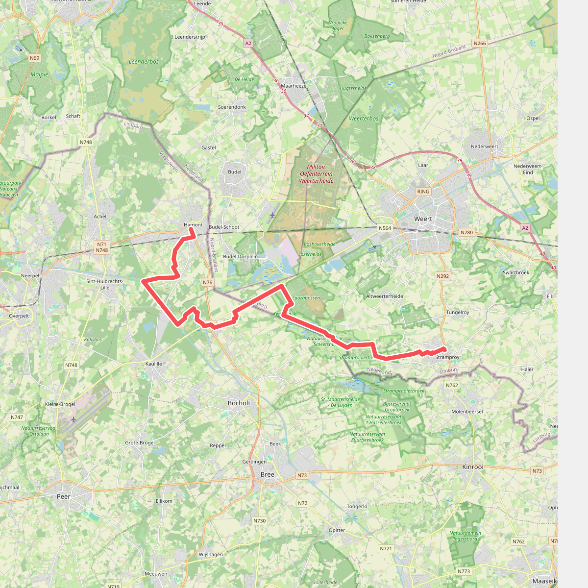
#9. Hamont - Stramproy · Grenslandpad etappe 18
Stramproy,Weert,Budel-Dorplein,Budel-Schoot
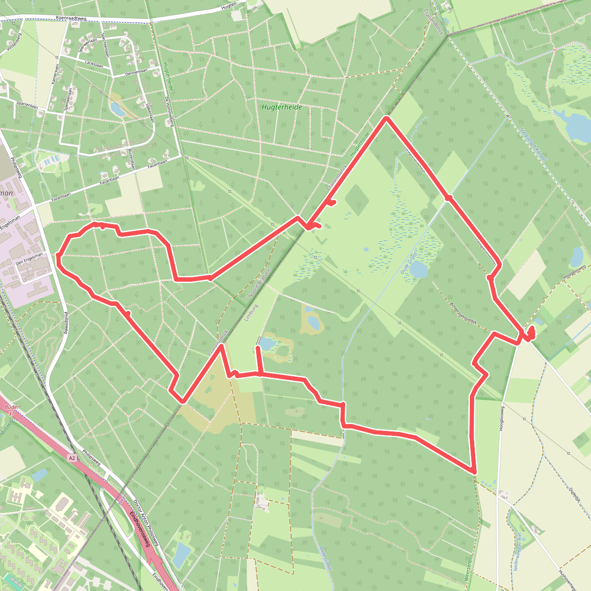
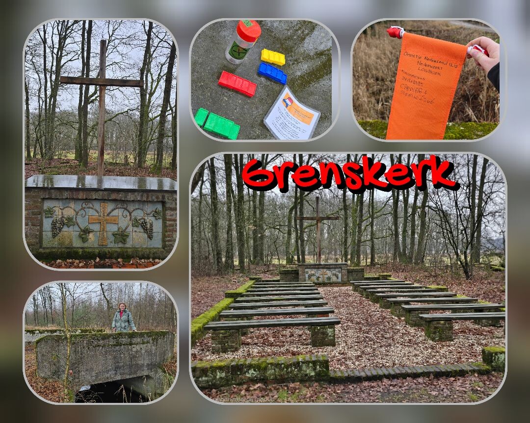
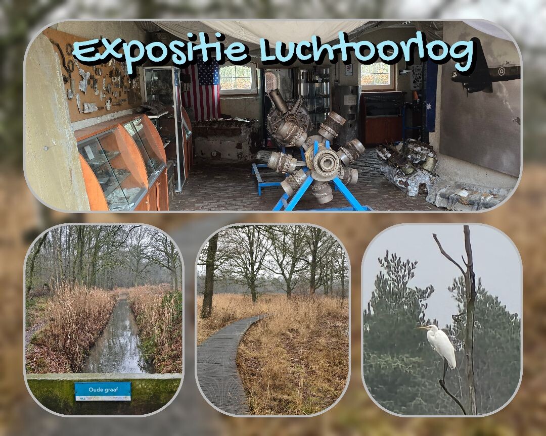
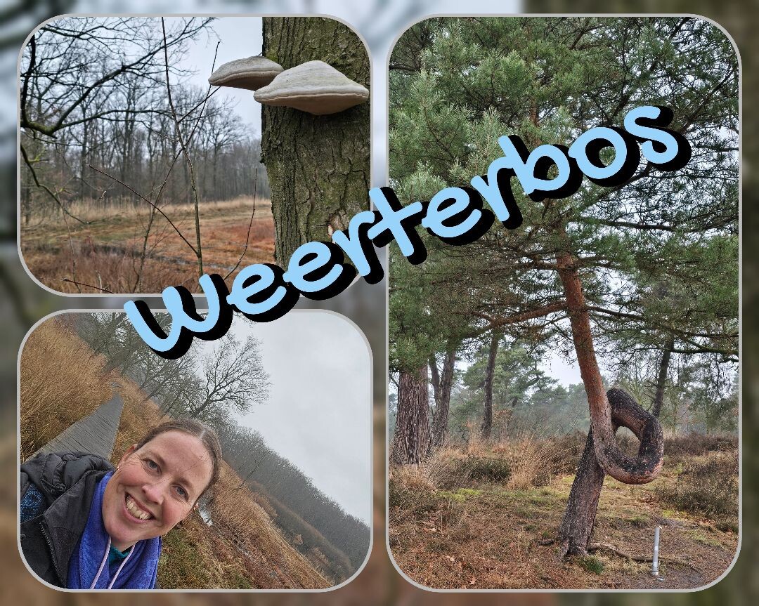
#10. Hugterheide en Weerterbos
Maarheeze,Nederweert,Budel
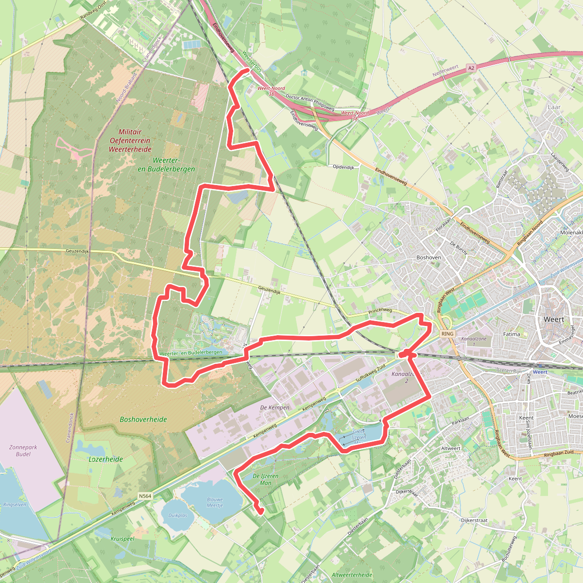
#11. IJzerenman - Wildenberg · Graaf van Hornepad etappe 5
Nederweert,Weert
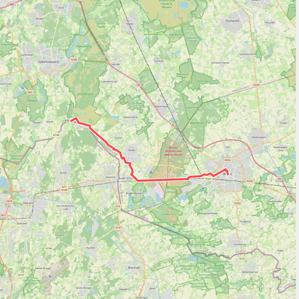
#12. Achelse Kluis - Weert · Jacobsweg Amstelredam etappe 12
Budel,Budel-Schoot,Weert



