The best hiking routes in IT4060001 - SIC-ZPS - Valli di Argenta
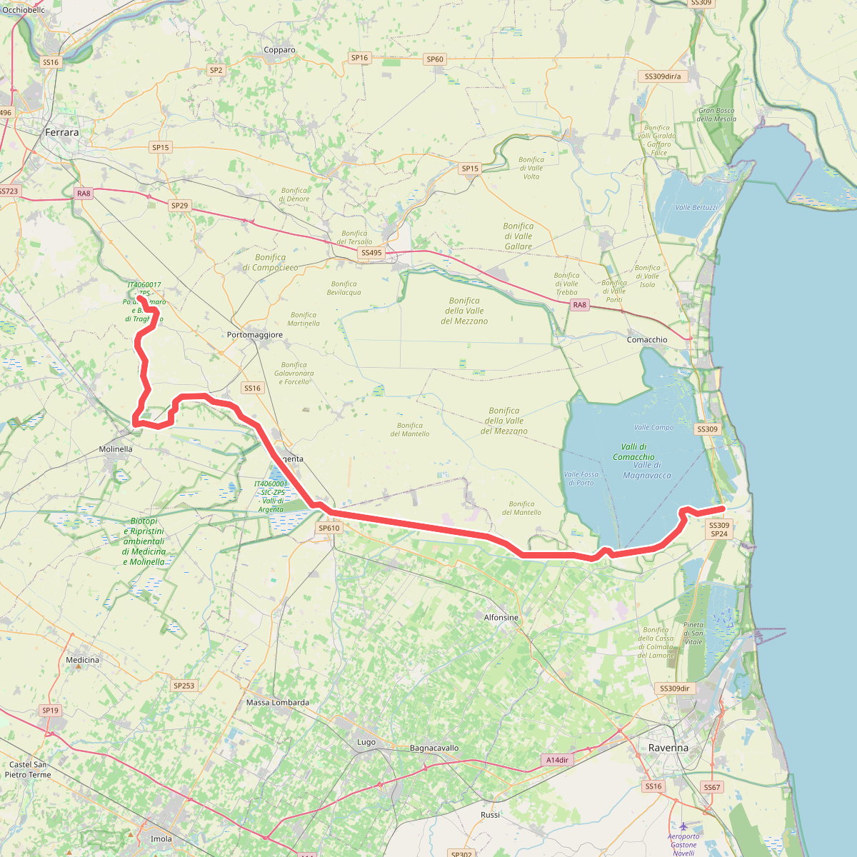
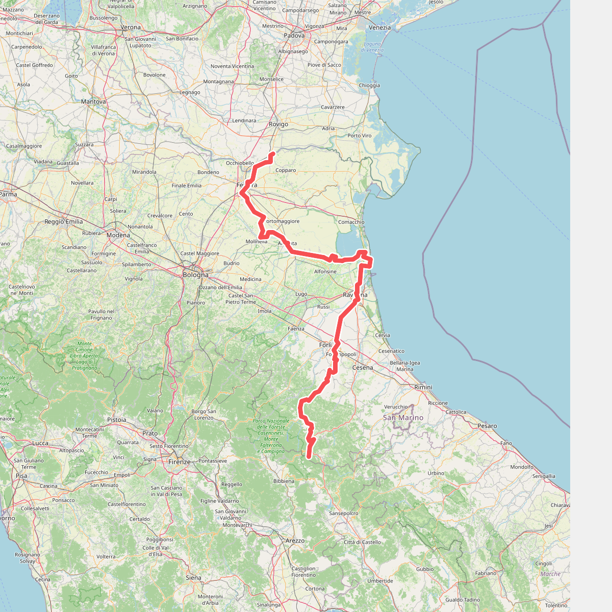
Discover the best walks in IT4060001 - SIC-ZPS - Valli di Argenta. 2 routes on the map, with descriptions, photos and GPX.
Managed by Ente di gestione per i Parchi e la Biodiversità - Delta del Po, Provincia di Ferrara, Provincia di Bologna, Provincia di Ravenna
About IT4060001 - SIC-ZPS - Valli di Argenta
IT4060001 - SIC-ZPS - Valli di Argenta is a vast freshwater wetland system shaped by centuries of water management. Unlike the dry pine forests or sandy beaches of the nearby Adriatic coast, this reserve consists of expansive reed beds, wet meadows, and flooded woodlands. The landscape is entirely flat, dominated by engineered basins and dikes that control the flow of the Reno River and its tributaries, creating a highly controlled yet rich aquatic environment.
Read more
About IT4060001 - SIC-ZPS - Valli di Argenta
IT4060001 - SIC-ZPS - Valli di Argenta is a vast freshwater wetland system shaped by centuries of water management. Unlike the dry pine forests or sandy beaches of the nearby Adriatic coast, this reserve consists of expansive reed beds, wet meadows, and flooded woodlands. The landscape is entirely flat, dominated by engineered basins and dikes that control the flow of the Reno River and its tributaries, creating a highly controlled yet rich aquatic environment.
Read moreIT4060001 - SIC-ZPS - Valli di Argenta is a vast freshwater wetland system shaped by centuries of water management. Unlike the dry pine forests or sandy beaches of the nearby Adriatic coast, this reserve consists of expansive reed beds, wet meadows, and flooded woodlands. The landscape is entirely flat, dominated by engineered basins and dikes that control the flow of the Reno River and its tributaries, creating a highly controlled yet rich aquatic environment.
Walkers will find a network of flat dirt tracks, grassy dikes, and embankments. Underfoot, the paths are composed of packed clay and silt, which can become sticky and heavy after rainfall. The trails run between open water basins and dense riparian forests of willows and poplars. In May, the marshes are filled with nesting waterbirds, and the vegetation is at its most vibrant, offering clear views of herons and spoonbills from the banks.
This area is not a place for rugged hill climbing or deep forest isolation. The presence of water-control infrastructure, pumps, and straight canals is visible throughout, reminding visitors of the artificial nature of these wetlands. While the main access points near the museum can be busier with birdwatchers, the longer dike paths offer a quieter, more repetitive landscape of water and reeds.