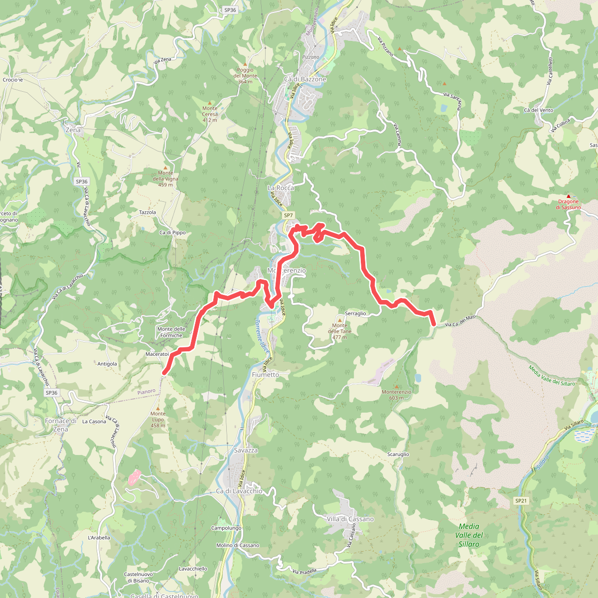
The best hiking routes in IT4050012 - SIC-ZPS - Contrafforte Pliocenico
Discover the best walks in IT4050012 - SIC-ZPS - Contrafforte Pliocenico. 25 routes on the map, with descriptions, photos and GPX.
Managed by Provincia di Bologna
About IT4050012 - SIC-ZPS - Contrafforte Pliocenico
The IT4050012 - SIC-ZPS - Contrafforte Pliocenico is defined by a striking wall of yellow sandstone that rises abruptly out of the surrounding clay hills. Unlike the softer, rounded ridges nearby, this reserve features massive, vertical rock fronts and deep, shaded canyons. Walking here means navigating the sharp contrast between the dry, exposed clifftops and the damp, forested ravines that cut through the sandstone.
Read more
About IT4050012 - SIC-ZPS - Contrafforte Pliocenico
The IT4050012 - SIC-ZPS - Contrafforte Pliocenico is defined by a striking wall of yellow sandstone that rises abruptly out of the surrounding clay hills. Unlike the softer, rounded ridges nearby, this reserve features massive, vertical rock fronts and deep, shaded canyons. Walking here means navigating the sharp contrast between the dry, exposed clifftops and the damp, forested ravines that cut through the sandstone.
Read moreThe IT4050012 - SIC-ZPS - Contrafforte Pliocenico is defined by a striking wall of yellow sandstone that rises abruptly out of the surrounding clay hills. Unlike the softer, rounded ridges nearby, this reserve features massive, vertical rock fronts and deep, shaded canyons. Walking here means navigating the sharp contrast between the dry, exposed clifftops and the damp, forested ravines that cut through the sandstone.
Underfoot, the paths transition quickly from loose sand and crumbling rock on the ridges to rich, leaf-covered soil in the sheltered gorges. You will notice how the vegetation changes with the geology, where Mediterranean holm oaks cling to the warm, sun-baked rock faces while beech and chestnut trees thrive in the cooler, humid valleys below. The landscape is a direct result of ancient coastal sedimentation, leaving behind fossil shells that are often visible directly in the sandy path.
This area is not a high-alpine environment, so do not expect snow-capped peaks or alpine meadows. Instead, it offers rugged, mid-altitude terrain with steep, sometimes exposed climbs on sandstone ledges. The popular access points near the main rock towers can be busy on spring weekends, but the deeper forested paths remain much quieter.
Hiking routes in IT4050012 - SIC-ZPS - Contrafforte Pliocenico (25)
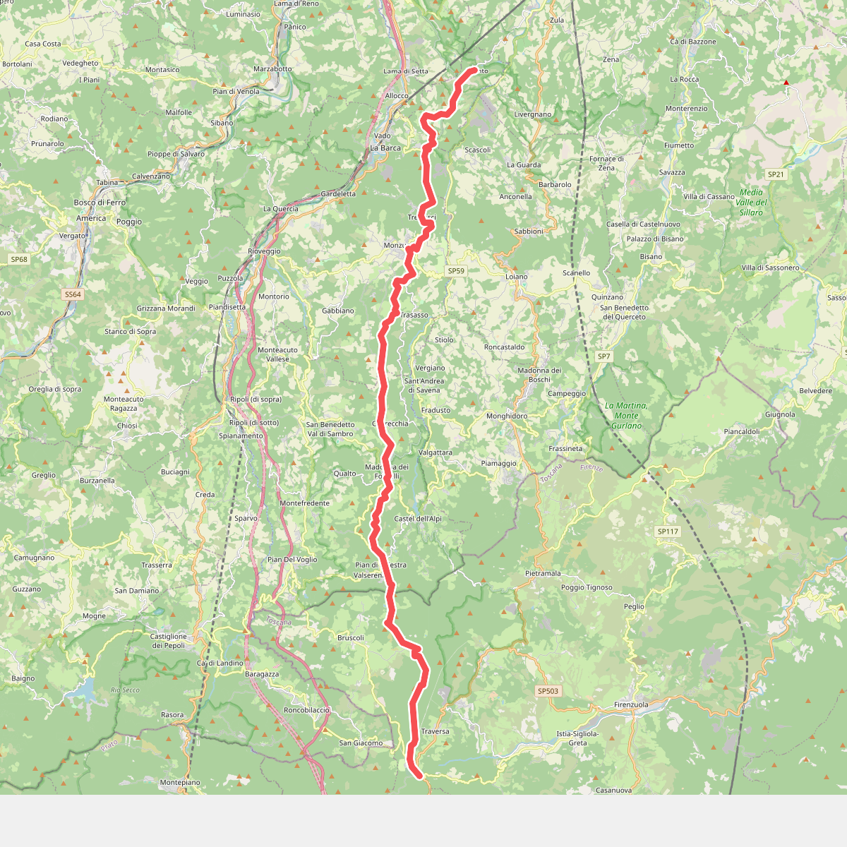
#1. Percorso CAI 019
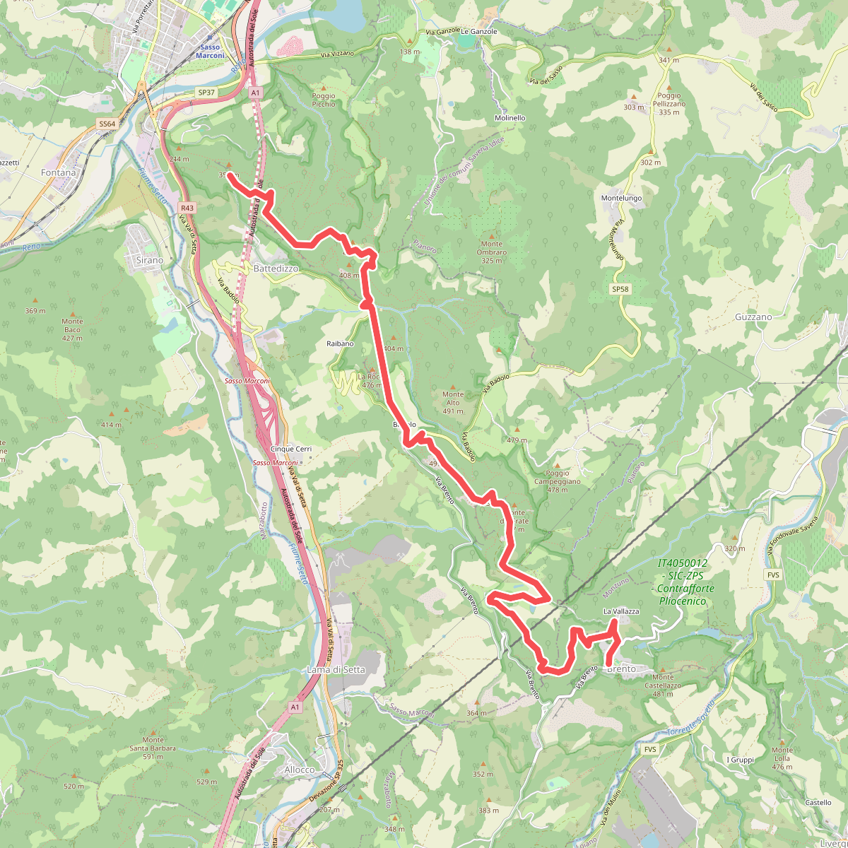
#2. Percorso CAI 110
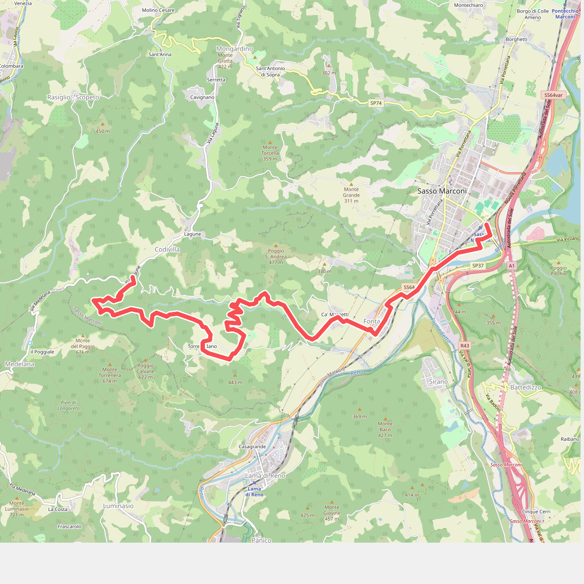
#3. Percorso CAI 116
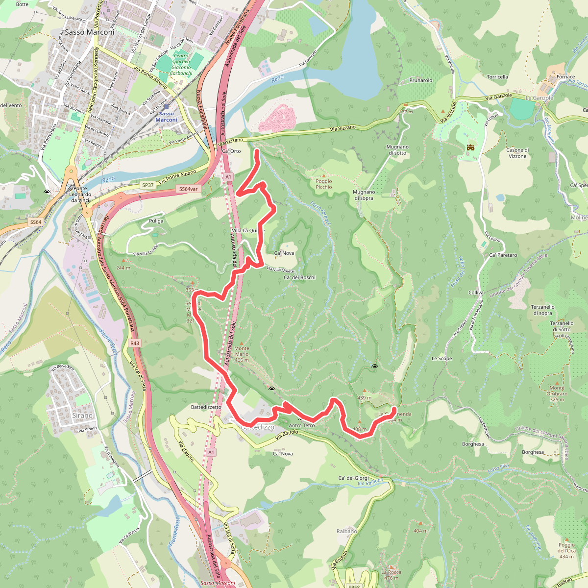
#4. Percorso CAI 118
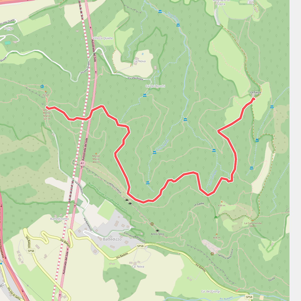
#5. Percorso CAI 118A
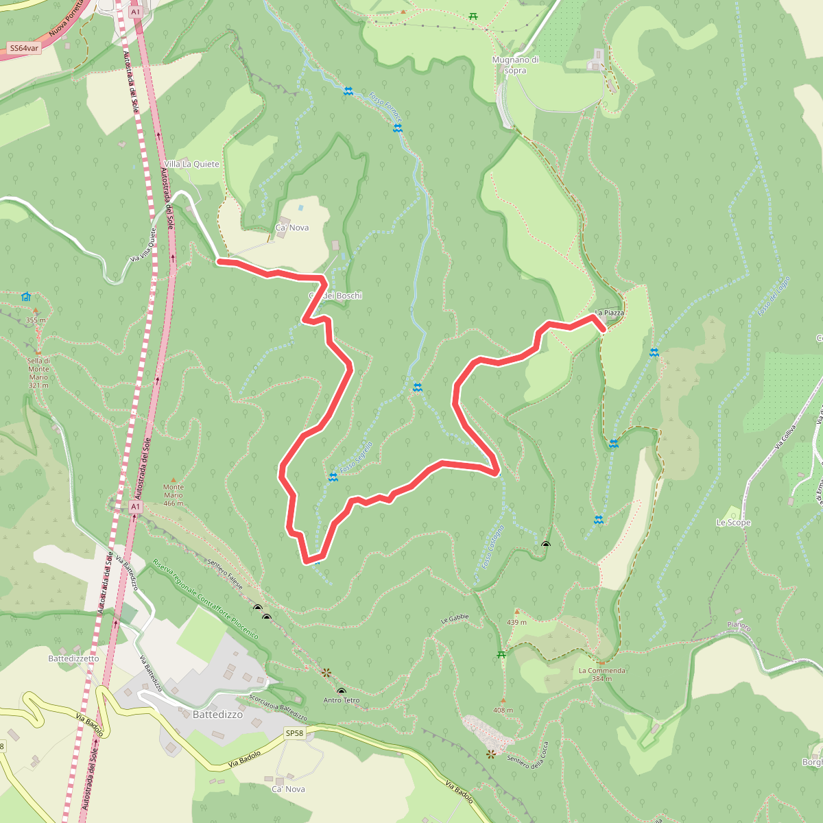
#6. Percorso CAI 118B
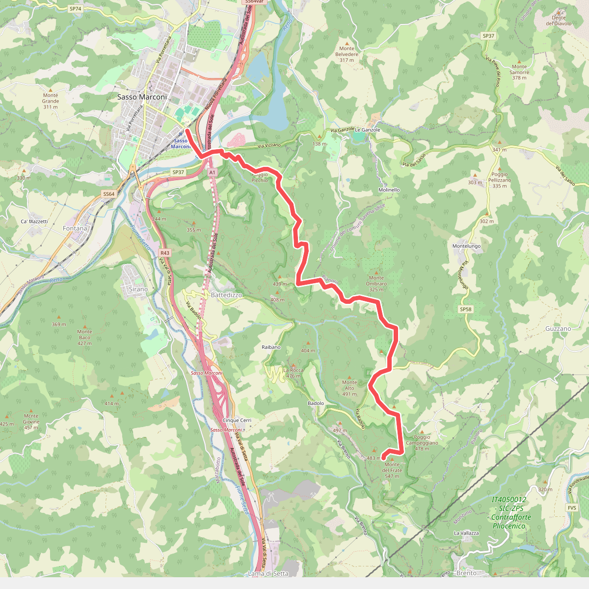
#7. Percorso CAI 122
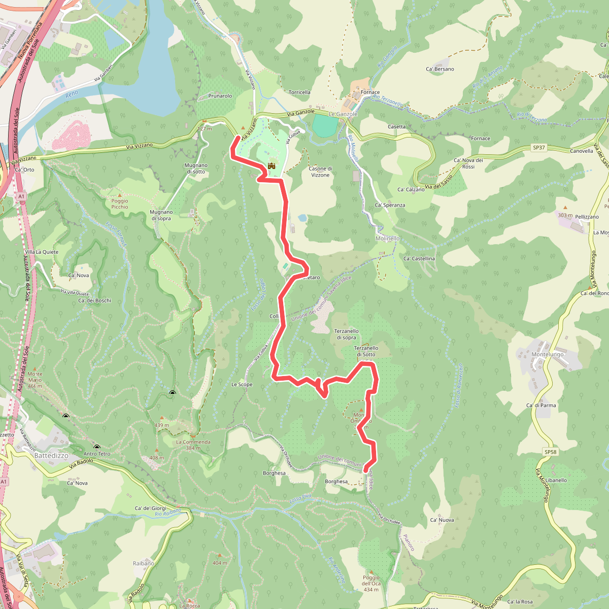
#8. Percorso CAI 122B
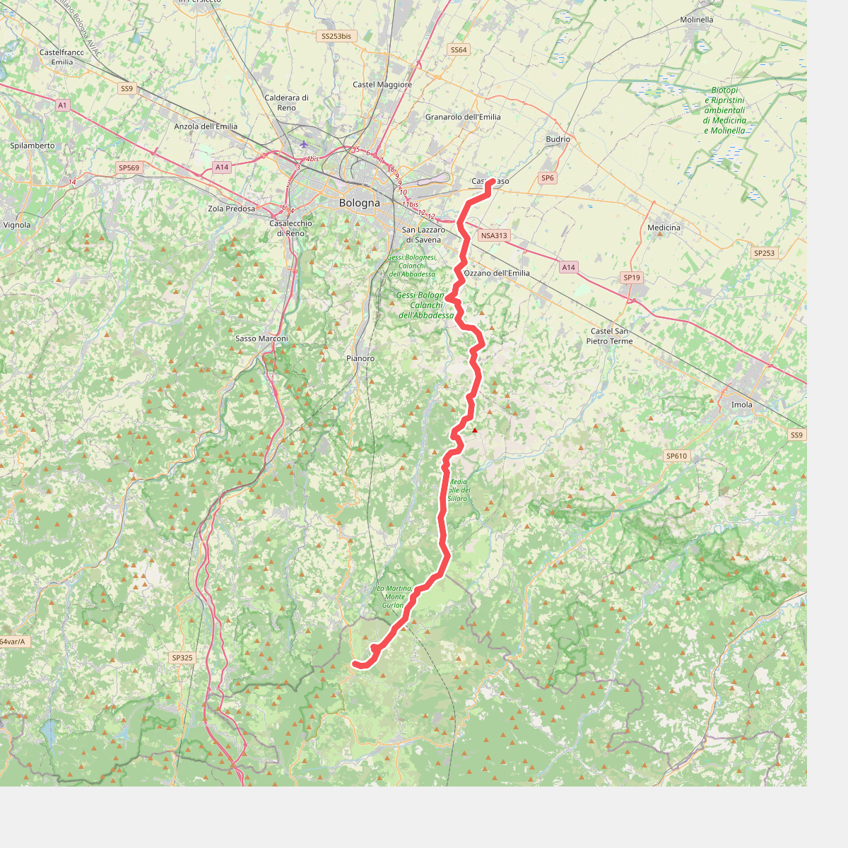
#9. Percorso CAI 801
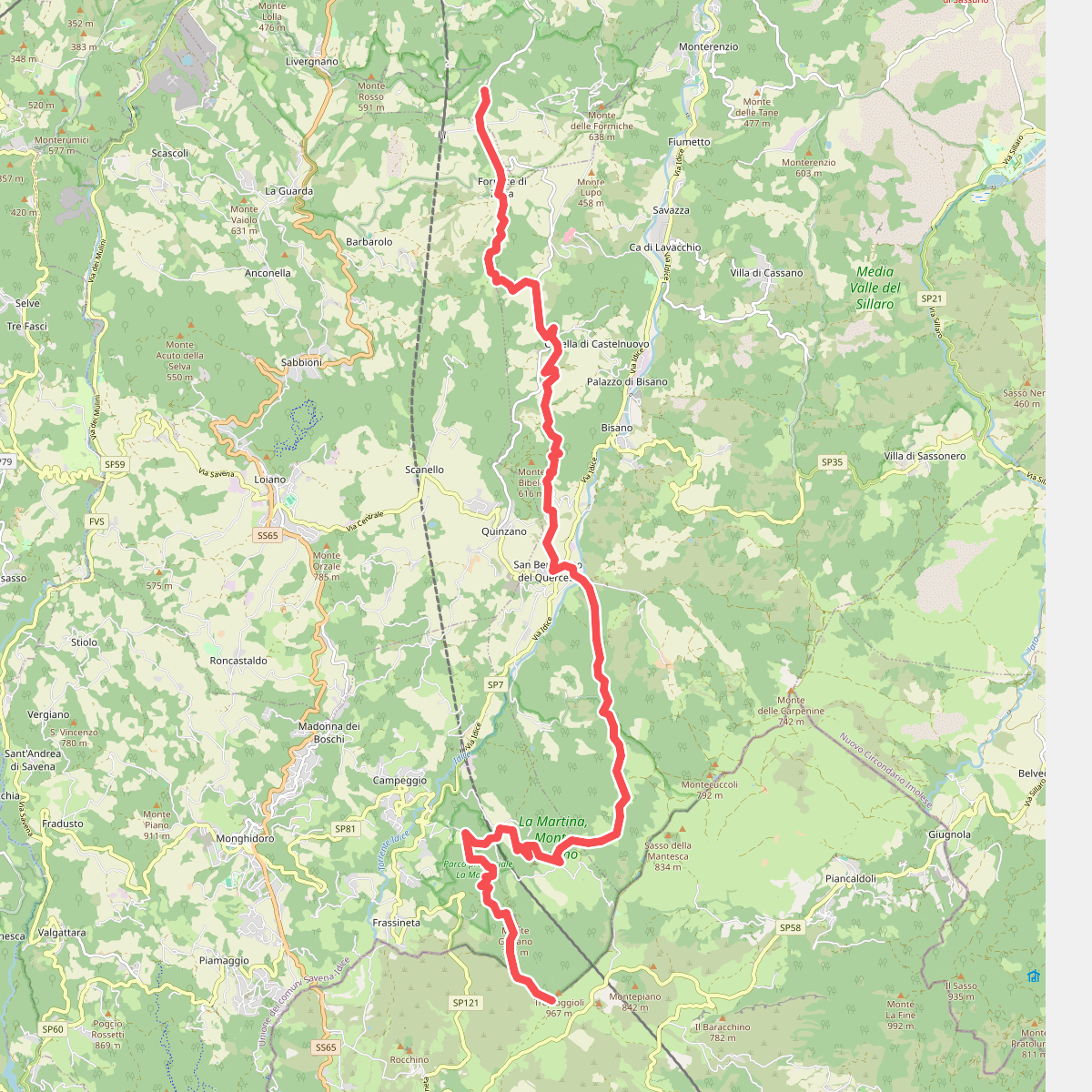
#10. Percorso CAI 805
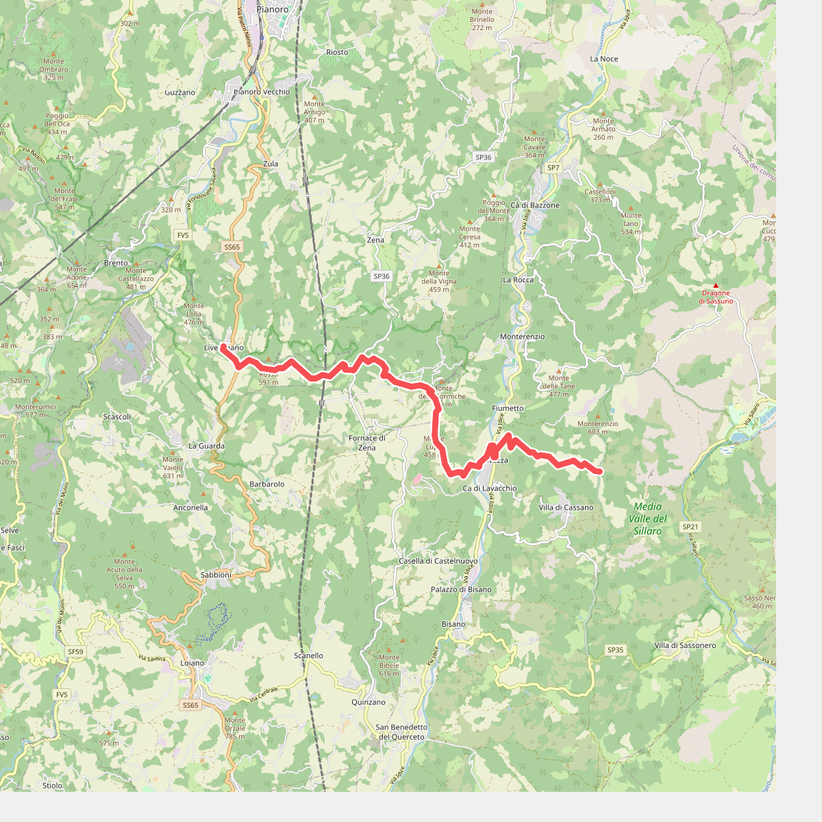
#11. Percorso CAI 809