The best hiking routes in IT4050002 - SIC-ZPS - Parco Regionale Corno alle Scale
Discover the best walks in IT4050002 - SIC-ZPS - Parco Regionale Corno alle Scale. 14 routes on the map, with descriptions, photos and GPX.
Managed by Ente di gestione per i Parchi e la Biodiversità - Emilia orientale
About IT4050002 - SIC-ZPS - Parco Regionale Corno alle Scale
IT4050002 - SIC-ZPS - Parco Regionale Corno alle Scale offers a rugged sandstone landscape in the high Apennines, dominated by the imposing layered rock face of Corno alle Scale itself. Unlike the softer clay hills lower down the Emilia-Romagna region, this area is defined by steep glacial cirques, high-altitude vaccinieti (blueberry heaths), and dense beech forests. Walkers should expect significant elevation changes, where narrow dirt tracks and rocky, scree-covered paths replace the gentle woodland strolls found in neighboring valleys.
Read more
About IT4050002 - SIC-ZPS - Parco Regionale Corno alle Scale
IT4050002 - SIC-ZPS - Parco Regionale Corno alle Scale offers a rugged sandstone landscape in the high Apennines, dominated by the imposing layered rock face of Corno alle Scale itself. Unlike the softer clay hills lower down the Emilia-Romagna region, this area is defined by steep glacial cirques, high-altitude vaccinieti (blueberry heaths), and dense beech forests. Walkers should expect significant elevation changes, where narrow dirt tracks and rocky, scree-covered paths replace the gentle woodland strolls found in neighboring valleys.
Read moreIT4050002 - SIC-ZPS - Parco Regionale Corno alle Scale offers a rugged sandstone landscape in the high Apennines, dominated by the imposing layered rock face of Corno alle Scale itself. Unlike the softer clay hills lower down the Emilia-Romagna region, this area is defined by steep glacial cirques, high-altitude vaccinieti (blueberry heaths), and dense beech forests. Walkers should expect significant elevation changes, where narrow dirt tracks and rocky, scree-covered paths replace the gentle woodland strolls found in neighboring valleys.
As you climb above the tree line, the forest abruptly gives way to open, wind-swept ridges and alpine grasslands. Underfoot, the terrain transitions from damp leaf litter and exposed tree roots under the beech canopy to fractured sandstone slabs and loose gravel along the ridges. Water is a constant presence on the lower slopes, where streams cut through the rock to form steep waterfalls like the Cascate del Dardagna, a feature that contrasts sharply with the dry, grassy crests above.
This park is best suited for those seeking steep, physical climbs rather than flat, leisurely loops. The higher trails require careful footwork on uneven stone, especially around the rocky ledges of the Balzi dell'Ora. While the main routes near the ski infrastructure can be busy with visitors in July and August, the peripheral paths leading through the deeper valleys offer a much quieter, more solitary mountain experience.
Hiking routes in IT4050002 - SIC-ZPS - Parco Regionale Corno alle Scale (14)
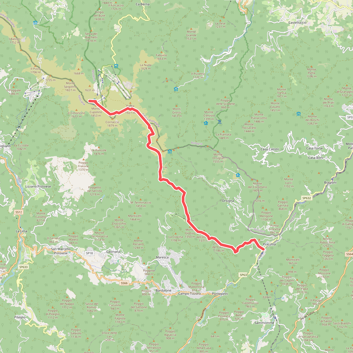
#1. Alta via dei Parchi: Tappa 09
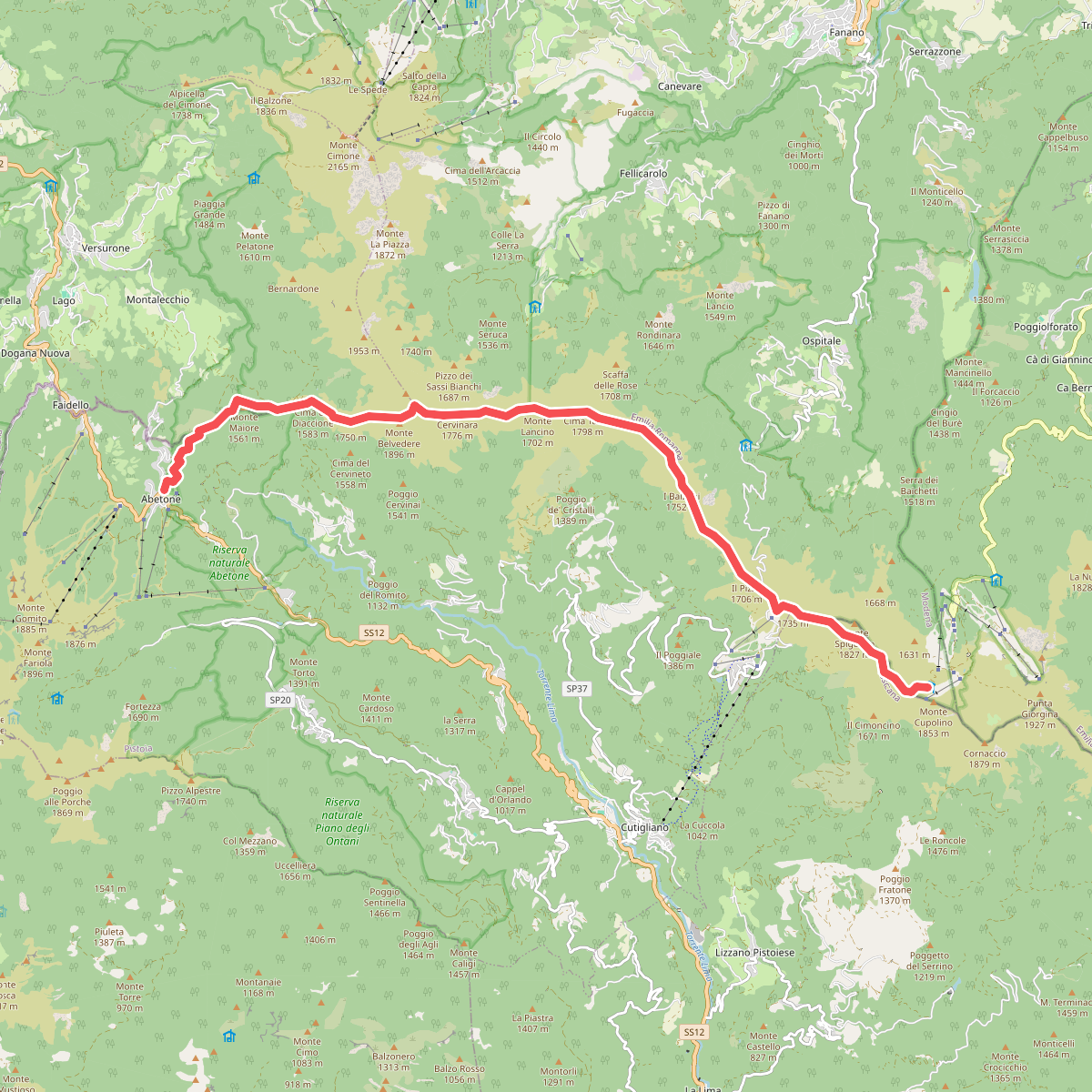
#2. Alta via dei Parchi: Tappa 10
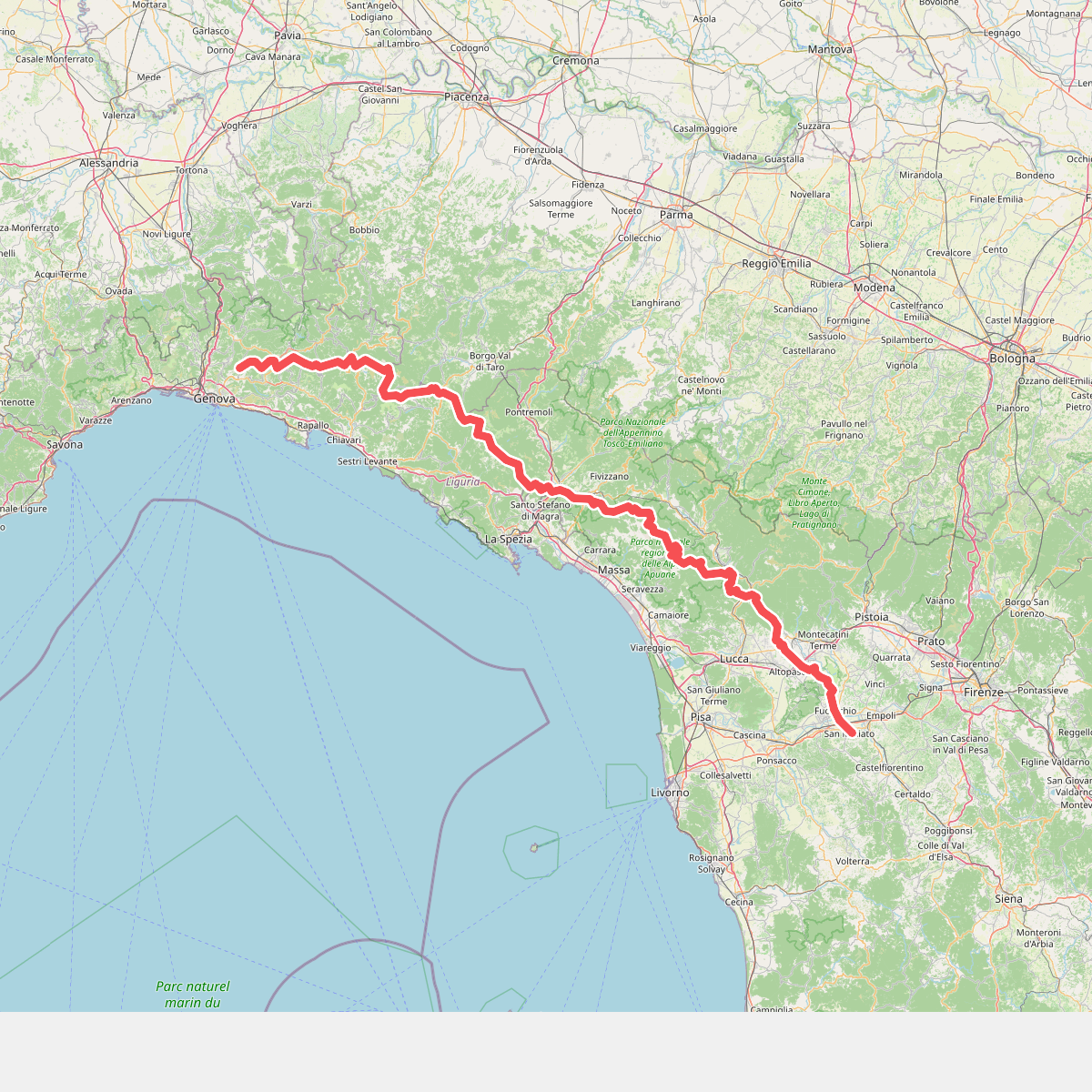
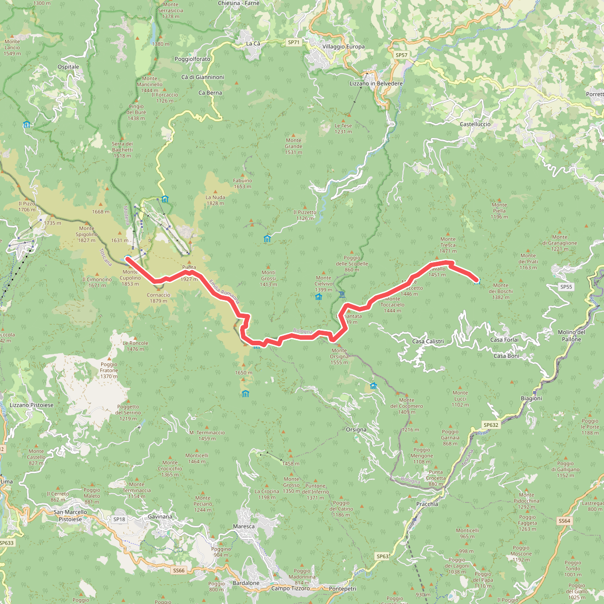
#3. Cammino di Assisi, Genova - San Miniato
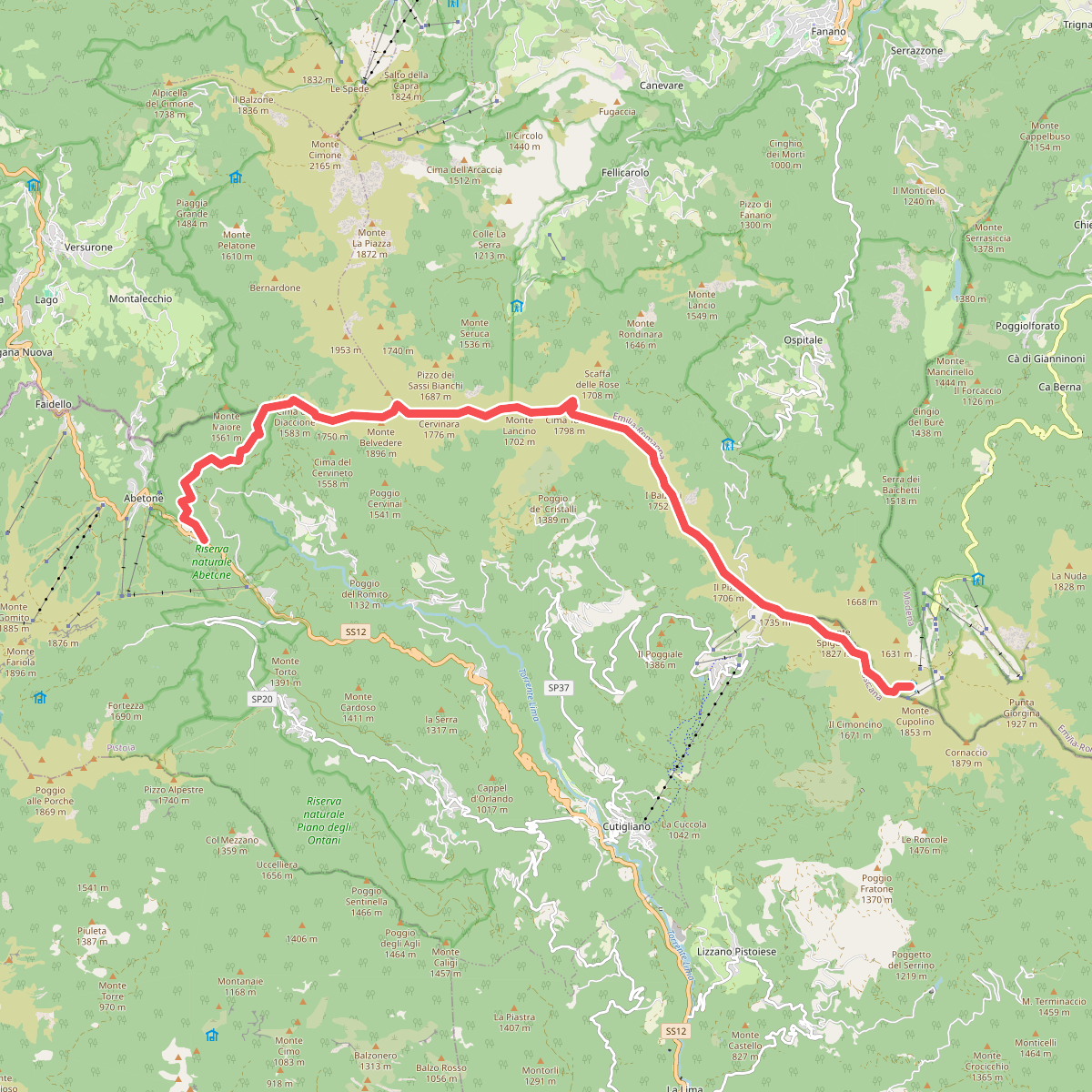
#4. E1 Toscana 09 Abetone Boscolungo - Lago Scaffaiolo
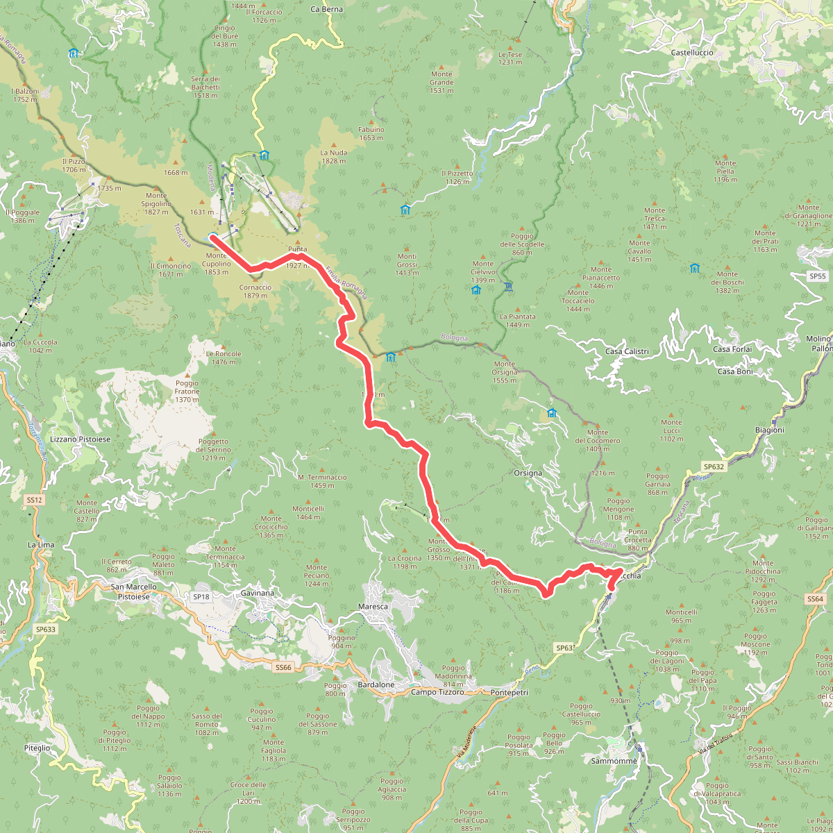
#5. E1 Toscana 10 Lago Scaffaiolo - Pracchia
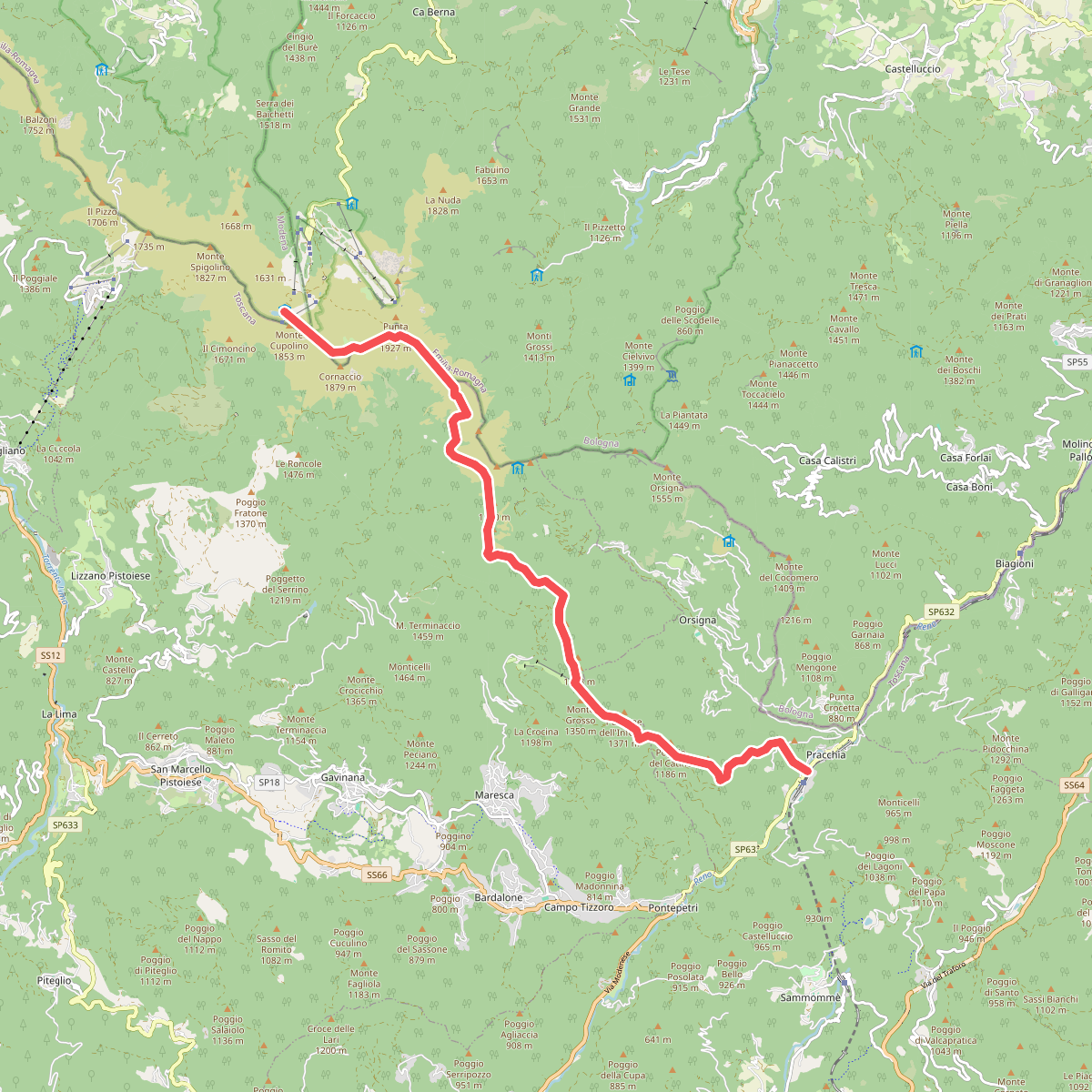
#6. Grande Escursione Appenninica - Tappa 13
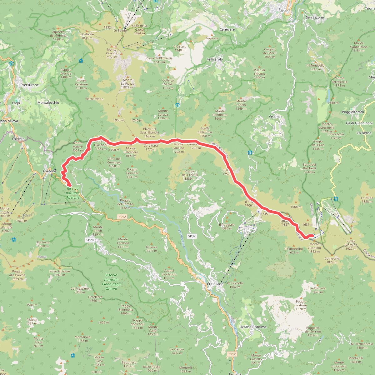
#7. Grande Escursione Appenninica - Tappa 14
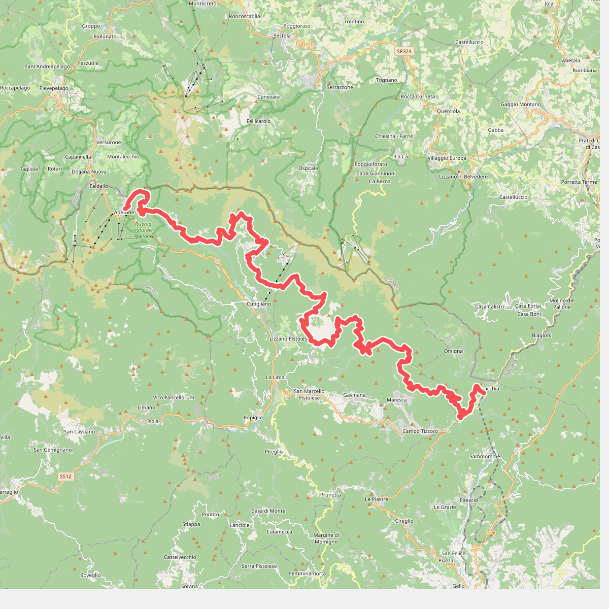
#8. Pracchia - Abetone
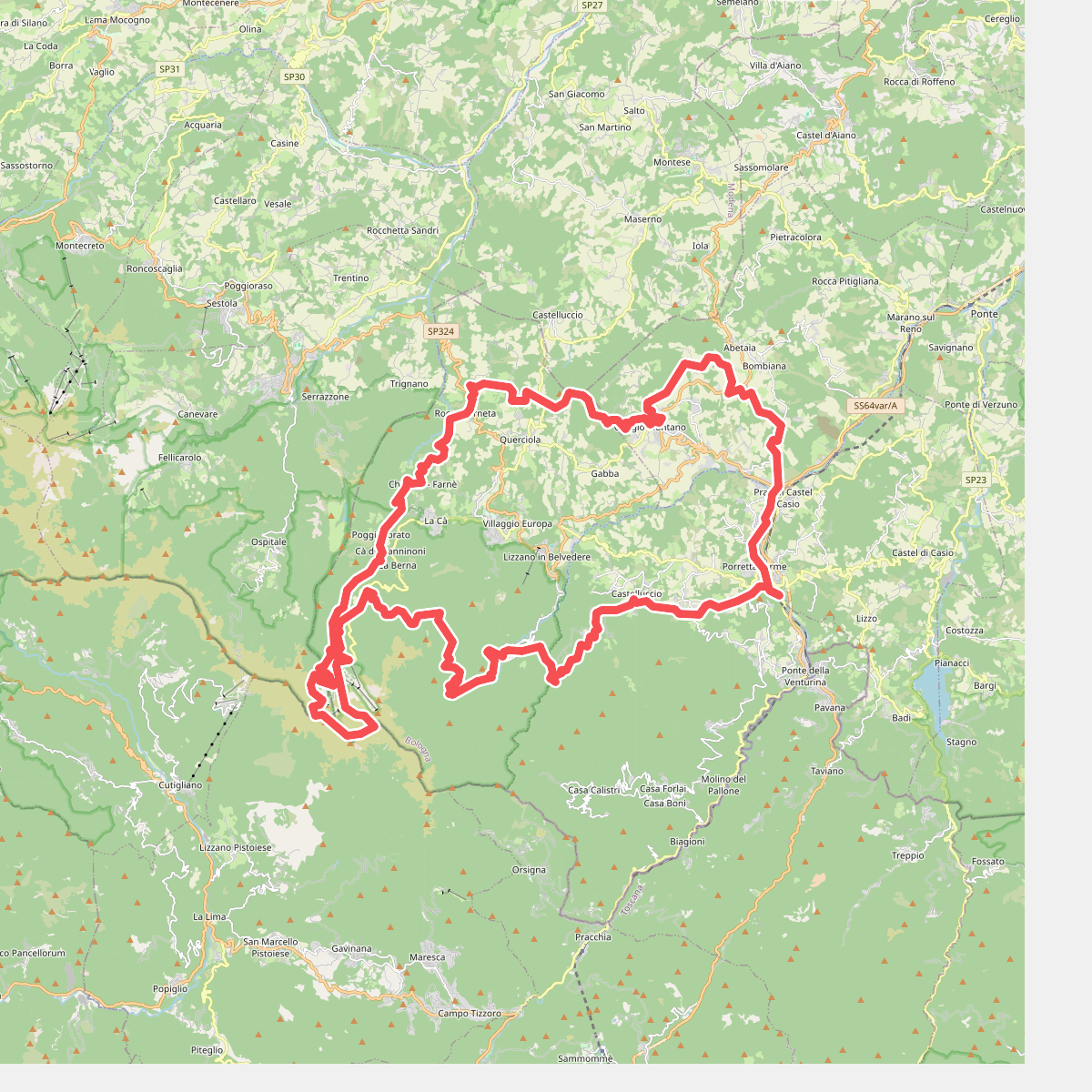
#9. RDM-Cammino Radio Dimensione Musica
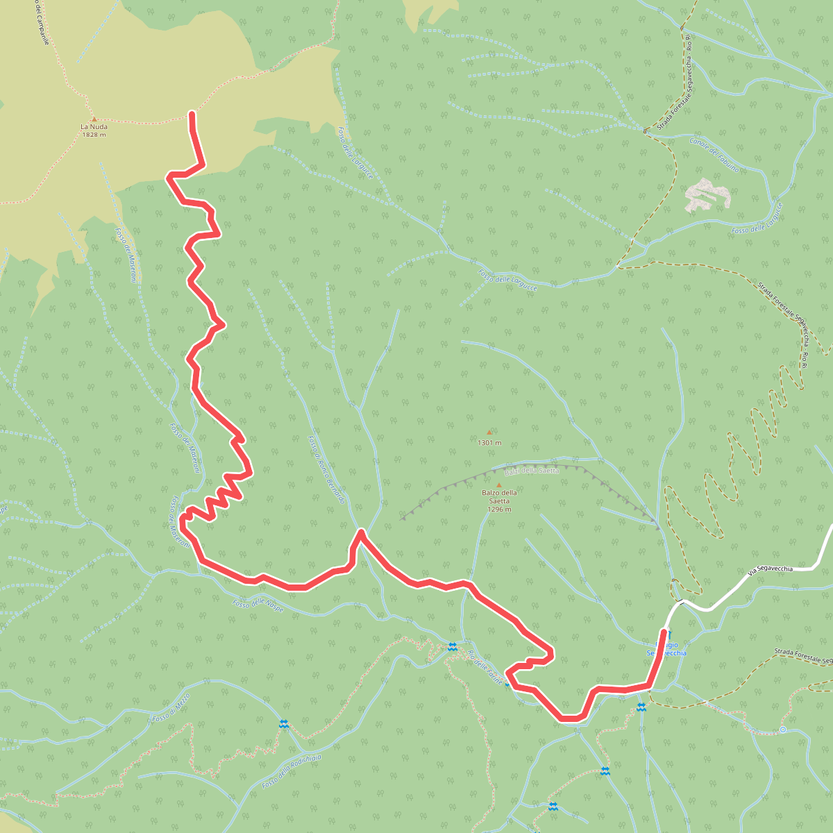
#10. Sentiero degli amici
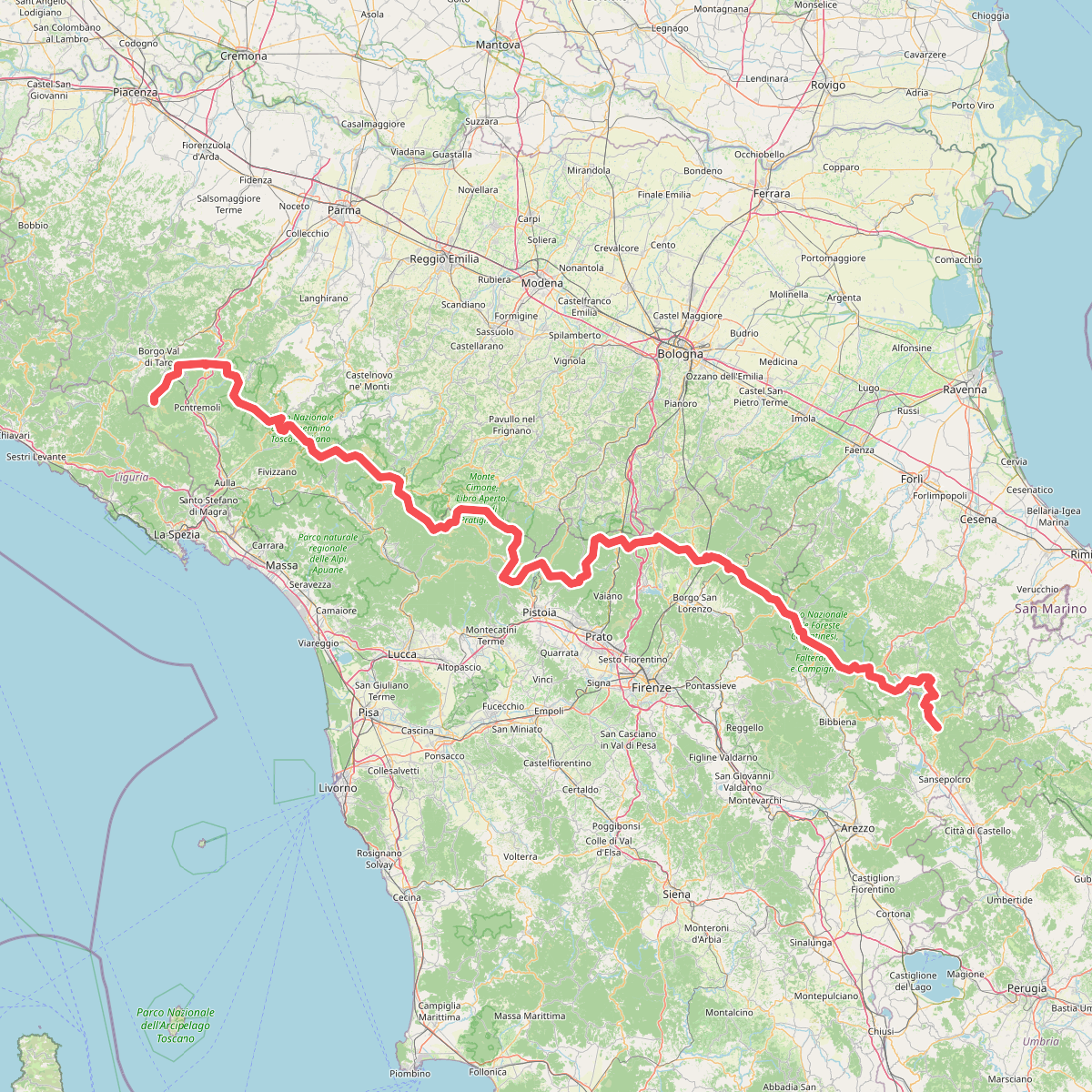
#11. Sentiero di spartiacque appenninico