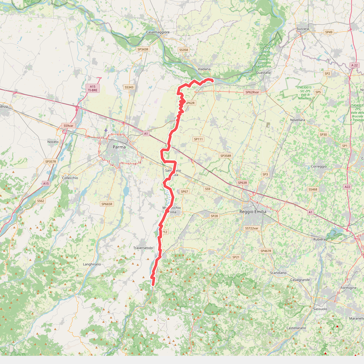
The best hiking routes in IT4030023 - SIC-ZPS - Fontanili di Gattatico e Fiume Enza
Discover the best walks in IT4030023 - SIC-ZPS - Fontanili di Gattatico e Fiume Enza. 1 routes on the map, with descriptions, photos and GPX.
Managed by Provincia di Reggio Emilia
About IT4030023 - SIC-ZPS - Fontanili di Gattatico e Fiume Enza
IT4030023 - SIC-ZPS - Fontanili di Gattatico e Fiume Enza offers a low-lying walk through a landscape shaped by water rising from the ground. This protected area on the Po plain is defined by its fontanili, which are natural freshwater springs where underground water emerges at a constant temperature. Walking here, you will follow dirt tracks and grassy paths alongside these narrow, clear channels, which are bordered by dense rows of reeds, shrubs, and lowland trees like alders and willows.
Read more
About IT4030023 - SIC-ZPS - Fontanili di Gattatico e Fiume Enza
IT4030023 - SIC-ZPS - Fontanili di Gattatico e Fiume Enza offers a low-lying walk through a landscape shaped by water rising from the ground. This protected area on the Po plain is defined by its fontanili, which are natural freshwater springs where underground water emerges at a constant temperature. Walking here, you will follow dirt tracks and grassy paths alongside these narrow, clear channels, which are bordered by dense rows of reeds, shrubs, and lowland trees like alders and willows.
Read moreIT4030023 - SIC-ZPS - Fontanili di Gattatico e Fiume Enza offers a low-lying walk through a landscape shaped by water rising from the ground. This protected area on the Po plain is defined by its fontanili, which are natural freshwater springs where underground water emerges at a constant temperature. Walking here, you will follow dirt tracks and grassy paths alongside these narrow, clear channels, which are bordered by dense rows of reeds, shrubs, and lowland trees like alders and willows.
As you move closer to the Fiume Enza, the terrain shifts from the sheltered, spring-fed agricultural ditches to the wider, gravelly riverbed. The paths near the river are stony and open, contrasting with the muddy, clay-heavy soil of the cultivated fields and spring channels nearby. There are no hills or vantage points here, only a flat, working plain where the sound of running water is a constant presence.
In the winter months, particularly in January, the spring pools remain ice-free due to the steady temperature of the rising groundwater, creating small green oases of aquatic plants while the surrounding fields are bare. This is a quiet, agricultural landscape where walkers should expect straightforward, level paths that can be sticky underfoot near the watercourses, rather than a wilderness with signposted hiking infrastructure.