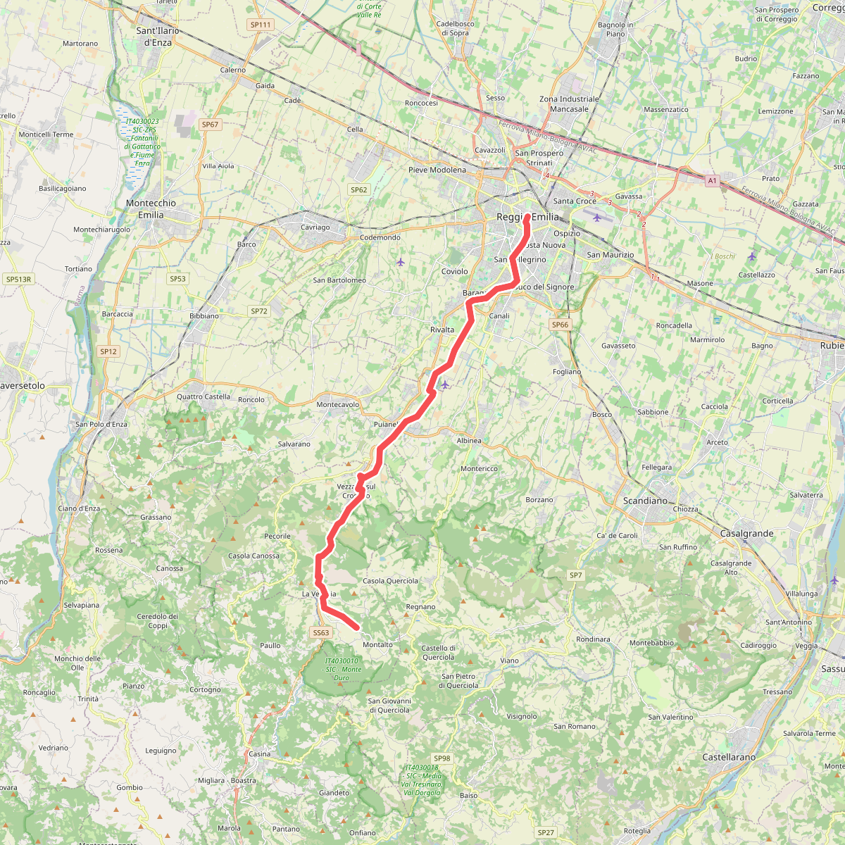
The best hiking routes in IT4030017 - SIC - Ca' del Vento, Ca' del Lupo, Gessi di Borzano
Discover the best walks in IT4030017 - SIC - Ca' del Vento, Ca' del Lupo, Gessi di Borzano. 7 routes on the map, with descriptions, photos and GPX.
Managed by Provincia di Reggio Emilia
About IT4030017 - SIC - Ca' del Vento, Ca' del Lupo, Gessi di Borzano
IT4030017 - SIC - Ca' del Vento, Ca' del Lupo, Gessi di Borzano offers a walk through a highly specific karst landscape in the hills of Reggio Emilia. Unlike the flat agricultural plains nearby, this area is defined by gypsum formations, sinkholes, and shallow depressions. The terrain is characterized by a mix of open, scrubby hillsides and dense broadleaf woodland, where the underlying soluble rock has collapsed to create a rugged, uneven topography.
Read more
About IT4030017 - SIC - Ca' del Vento, Ca' del Lupo, Gessi di Borzano
IT4030017 - SIC - Ca' del Vento, Ca' del Lupo, Gessi di Borzano offers a walk through a highly specific karst landscape in the hills of Reggio Emilia. Unlike the flat agricultural plains nearby, this area is defined by gypsum formations, sinkholes, and shallow depressions. The terrain is characterized by a mix of open, scrubby hillsides and dense broadleaf woodland, where the underlying soluble rock has collapsed to create a rugged, uneven topography.
Read moreIT4030017 - SIC - Ca' del Vento, Ca' del Lupo, Gessi di Borzano offers a walk through a highly specific karst landscape in the hills of Reggio Emilia. Unlike the flat agricultural plains nearby, this area is defined by gypsum formations, sinkholes, and shallow depressions. The terrain is characterized by a mix of open, scrubby hillsides and dense broadleaf woodland, where the underlying soluble rock has collapsed to create a rugged, uneven topography.
Underfoot, you will encounter clay-heavy dirt tracks and stony paths that cut through Mediterranean-style shrubland and oak woods. The presence of gypsum is visible along the trail in the form of white rock outcrops and sinkhole openings, known locally as dolines. There are no high mountain peaks or deep alpine gorges here, but rather a series of gently rolling, fractured ridges where the vegetation changes rapidly depending on whether you are walking on a dry, south-facing slope or in a damp, shaded sinkhole depression.
In May, the woodland undergrowth is particularly active with wild herbaceous plants, while the open gypsum clearings show off specialized flora that thrives on these calcium-rich soils. Because of the active karst geology, water quickly disappears underground, meaning you will not find running streams or lakes along the paths, but rather dry valleys and cave entrances like those of Ca' del Vento.
Hiking routes in IT4030017 - SIC - Ca' del Vento, Ca' del Lupo, Gessi di Borzano (7)
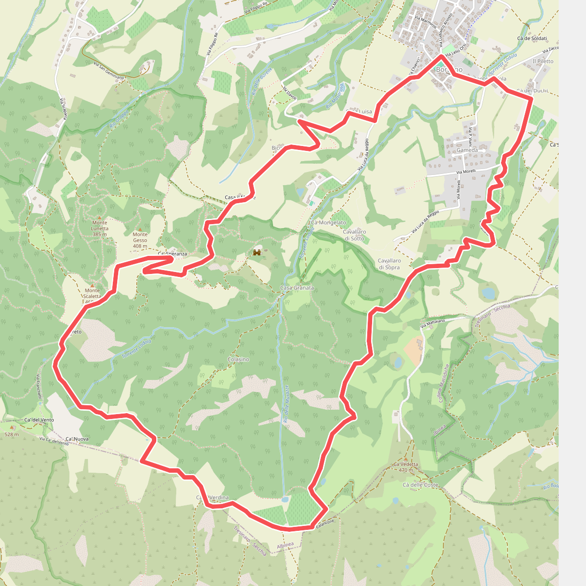
#1. Anello di ca' del Vento
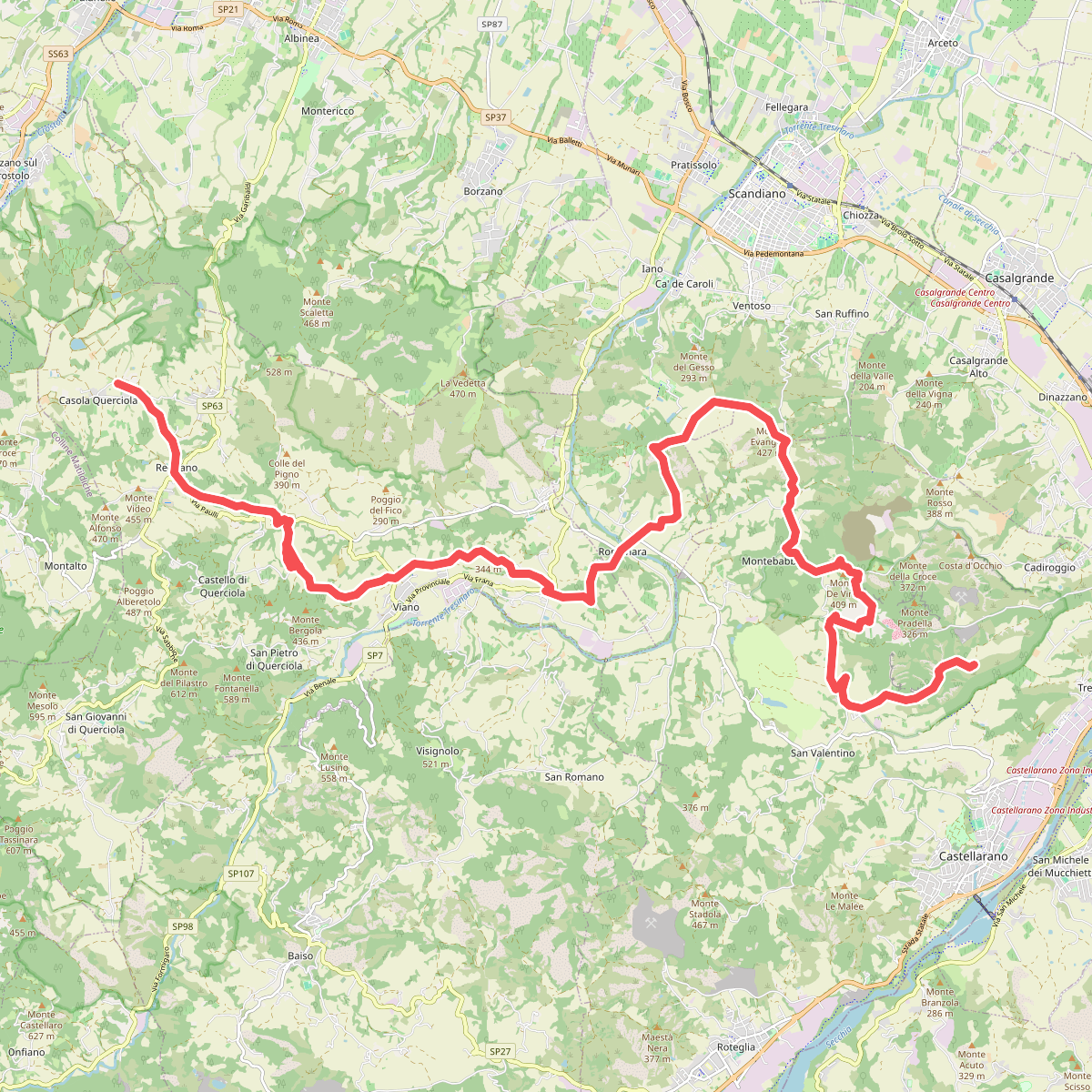
#2. Sentiero dei Vulcani di Fango - Tappa 1
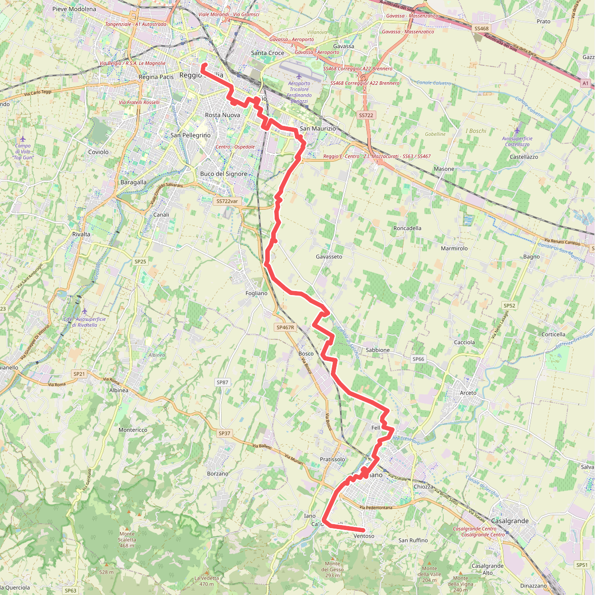
#3. Sentiero Lazzaro Spallanzani - Tappa 1
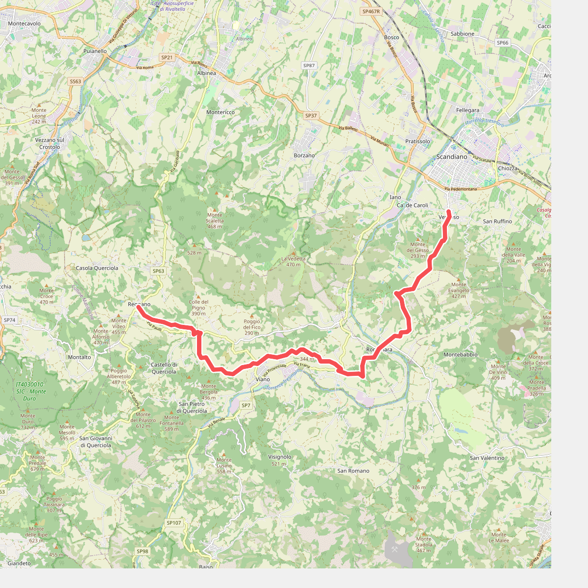
#4. Sentiero Lazzaro Spallanzani - Tappa 2
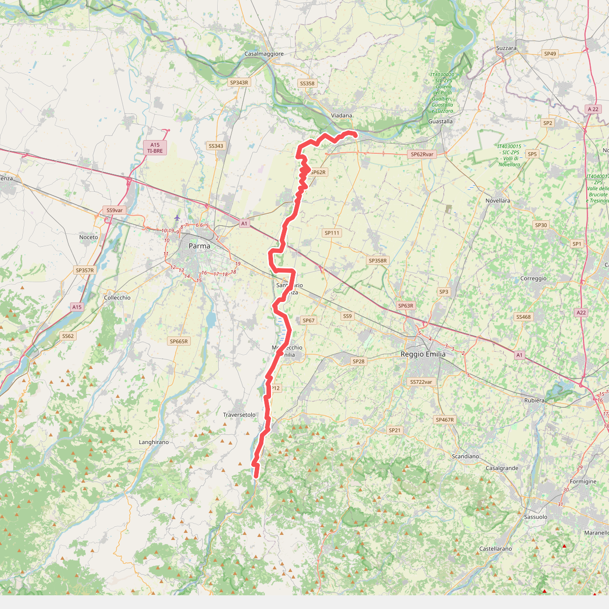
#5. Via della Libertà
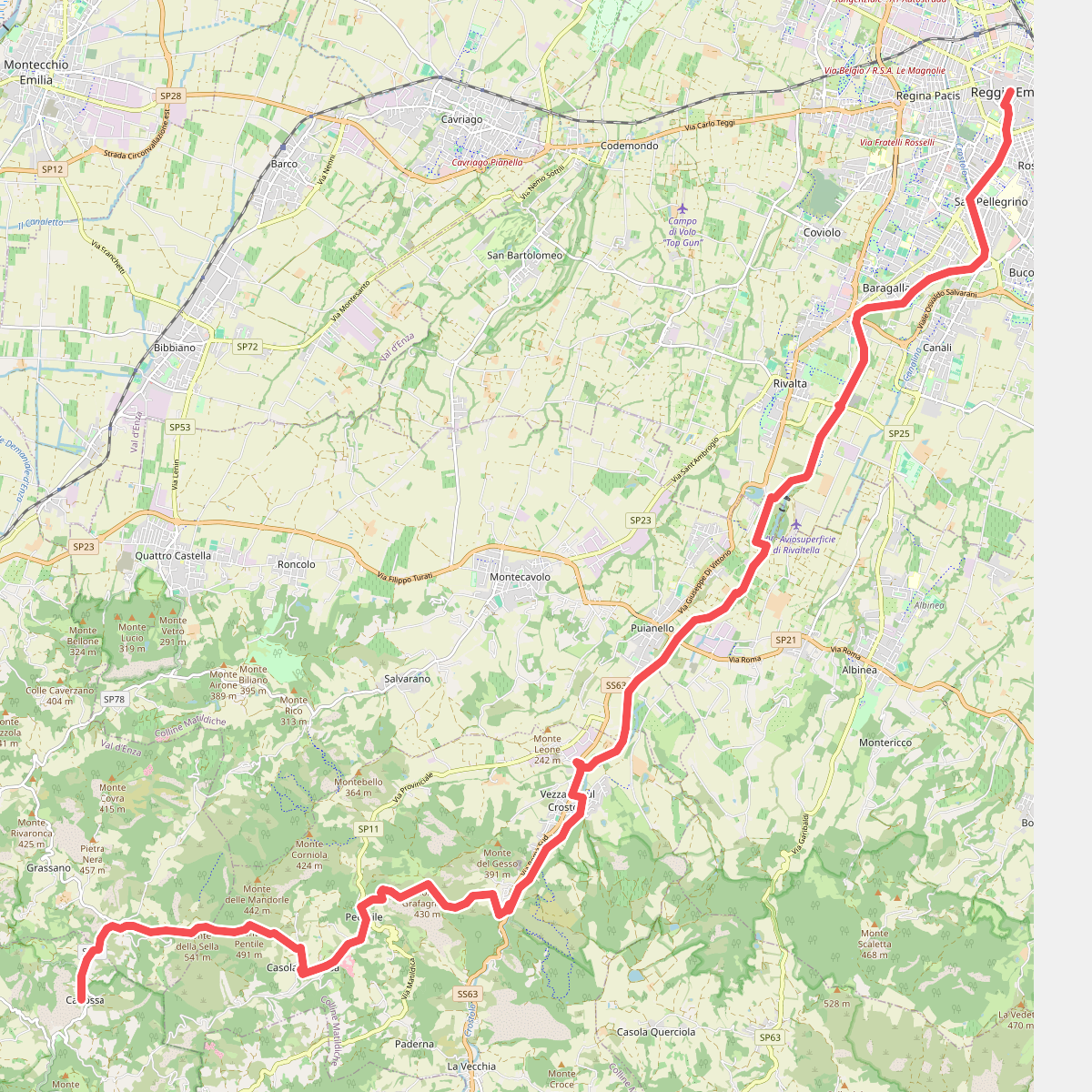
#6. Via Matildica del Volto Santo: Tappa 4