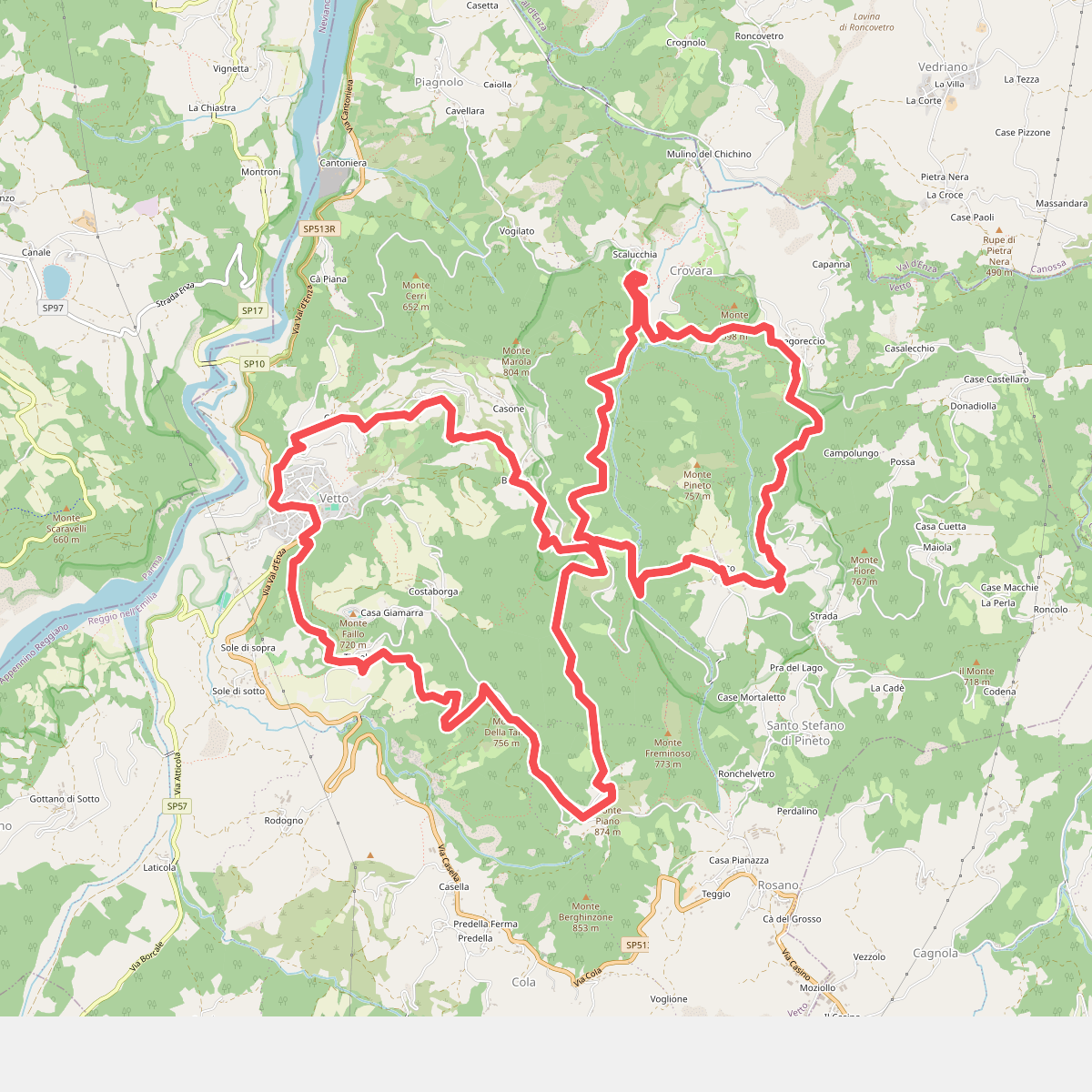
The best hiking routes in IT4030013 - SIC - Fiume Enza da La Mora a Compiano
Discover the best walks in IT4030013 - SIC - Fiume Enza da La Mora a Compiano. 5 routes on the map, with descriptions, photos and GPX.
Managed by Provincia di Reggio Emilia, Provincia di Parma
About IT4030013 - SIC - Fiume Enza da La Mora a Compiano
The IT4030013 - SIC - Fiume Enza da La Mora a Compiano protects a dynamic river corridor where the Enza river transitions from its mountain course into wider valley flats. Unlike steep mountain paths nearby, this area offers a relatively level walking terrain dominated by wide, pebbly riverbeds, braided water channels, and alluvial woodlands. The landscape is shaped by the seasonal flow of water, leaving behind vast gravel banks and shifting islands of low willow scrub that contrast with the denser oak and alder woods along the higher banks.
Read more
About IT4030013 - SIC - Fiume Enza da La Mora a Compiano
The IT4030013 - SIC - Fiume Enza da La Mora a Compiano protects a dynamic river corridor where the Enza river transitions from its mountain course into wider valley flats. Unlike steep mountain paths nearby, this area offers a relatively level walking terrain dominated by wide, pebbly riverbeds, braided water channels, and alluvial woodlands. The landscape is shaped by the seasonal flow of water, leaving behind vast gravel banks and shifting islands of low willow scrub that contrast with the denser oak and alder woods along the higher banks.
Read moreThe IT4030013 - SIC - Fiume Enza da La Mora a Compiano protects a dynamic river corridor where the Enza river transitions from its mountain course into wider valley flats. Unlike steep mountain paths nearby, this area offers a relatively level walking terrain dominated by wide, pebbly riverbeds, braided water channels, and alluvial woodlands. The landscape is shaped by the seasonal flow of water, leaving behind vast gravel banks and shifting islands of low willow scrub that contrast with the denser oak and alder woods along the higher banks.
Walking here means navigating a mix of loose gravel, sandy river deposits, and dirt tracks that can be uneven and rough underfoot. There are no paved promenades or boardwalks; the paths follow the natural contours of the river terrace, occasionally requiring you to step over driftwood or negotiate stony sections near the water's edge. The vegetation changes rapidly from colonizing grasses on the gravel bars to thick riparian forest, providing a clear visual record of how the river floods and reshapes its banks.
This reserve is suited for those who prefer open, riverside walking over deep forest cover or high-altitude climbs. While the surrounding hills are visible in the distance, the immediate view is defined by the wide river corridor and its active gravel plains. In late spring, around May, the gravel beds are often dotted with pioneering wildflowers, making this a good time to observe the specialized plants that survive in this highly mobile, stony environment.
Hiking routes in IT4030013 - SIC - Fiume Enza da La Mora a Compiano (5)
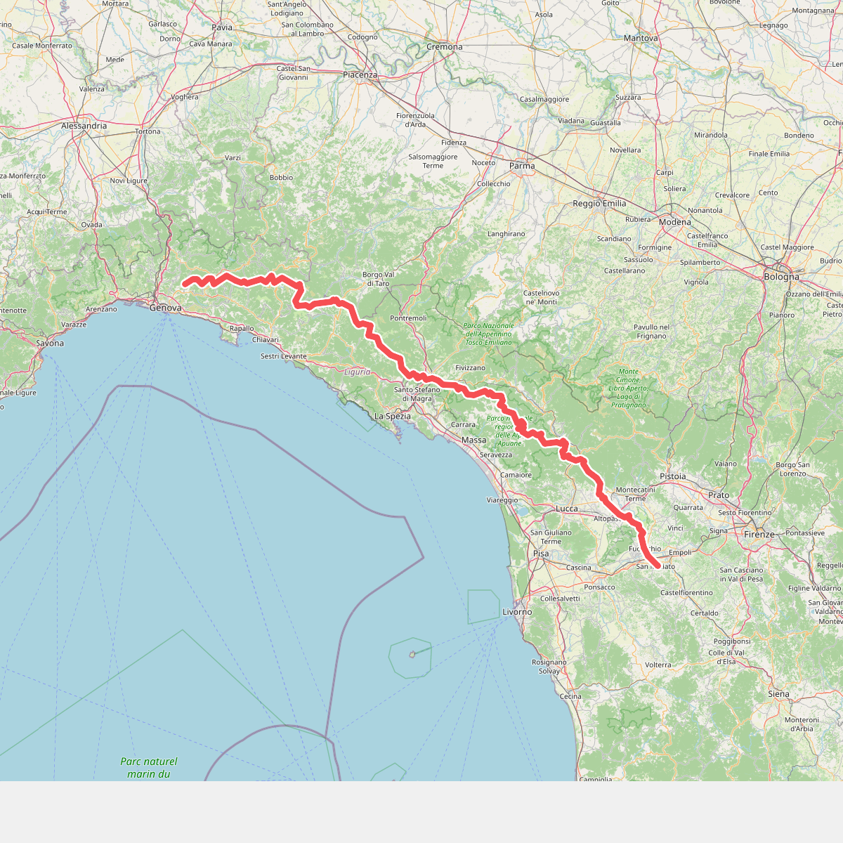
#1. Cammino di Assisi, Genova - San Miniato
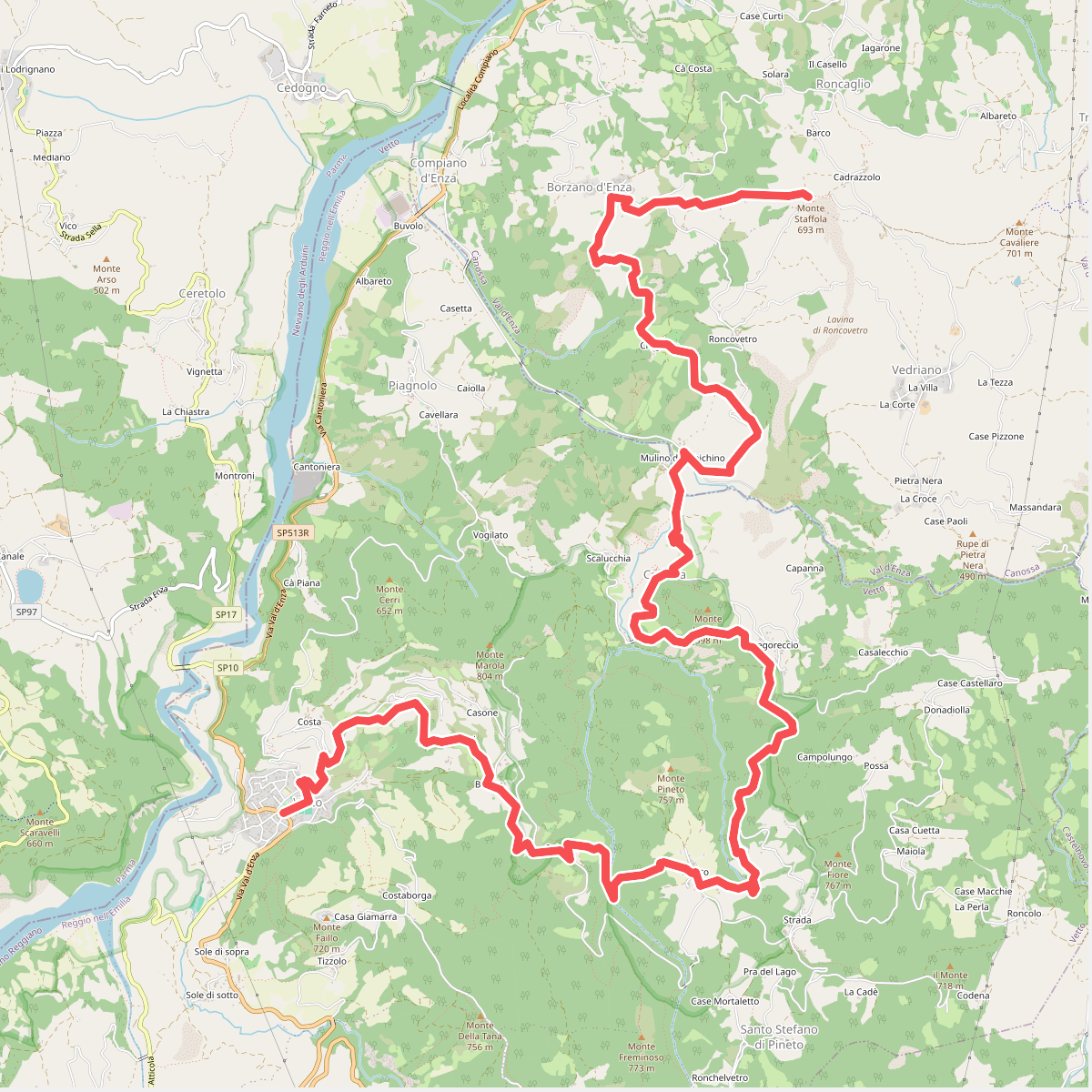
#2. Sentiero dei Ducati Tappa 04
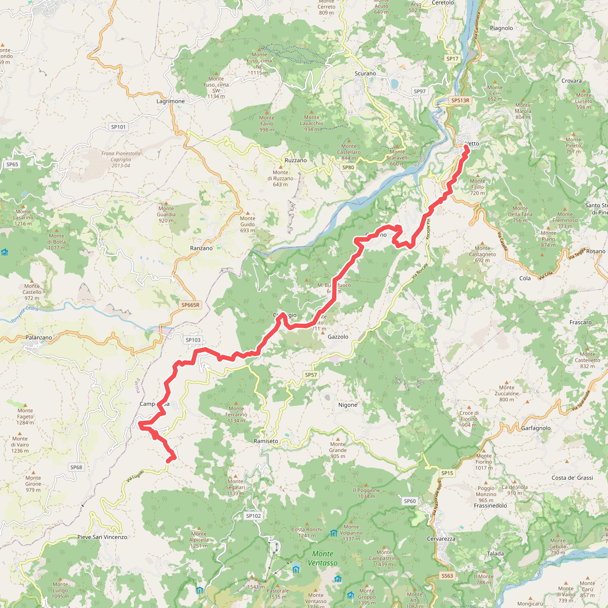
#3. Sentiero dei Ducati Tappa 05
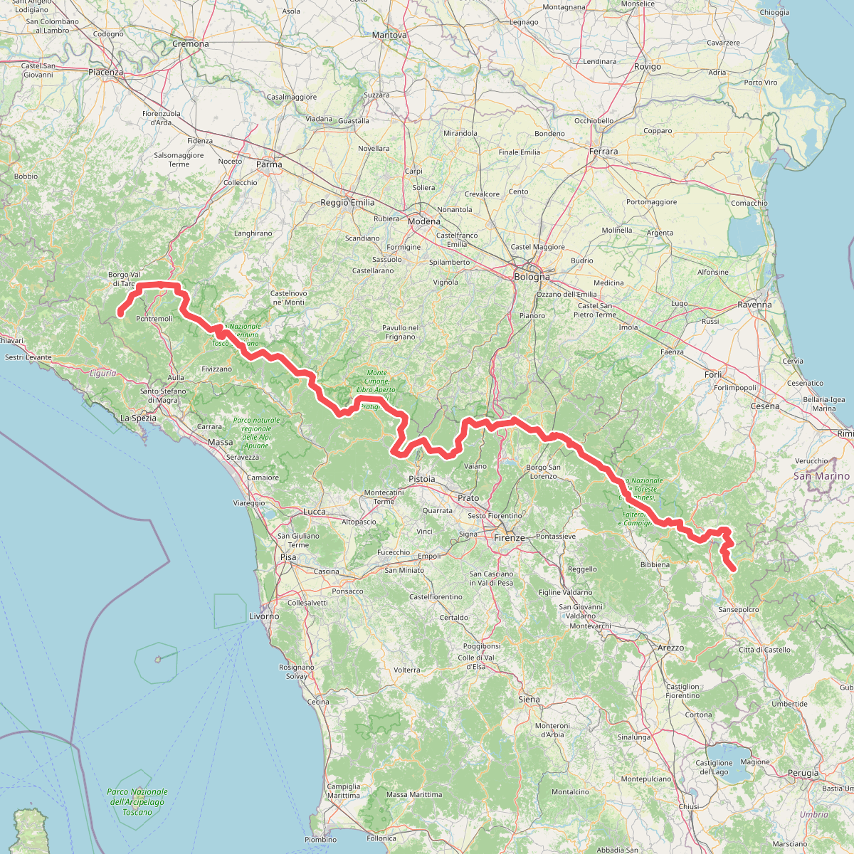
#4. Sentiero di spartiacque appenninico