The best hiking routes in Isental und südliche Quellbäche
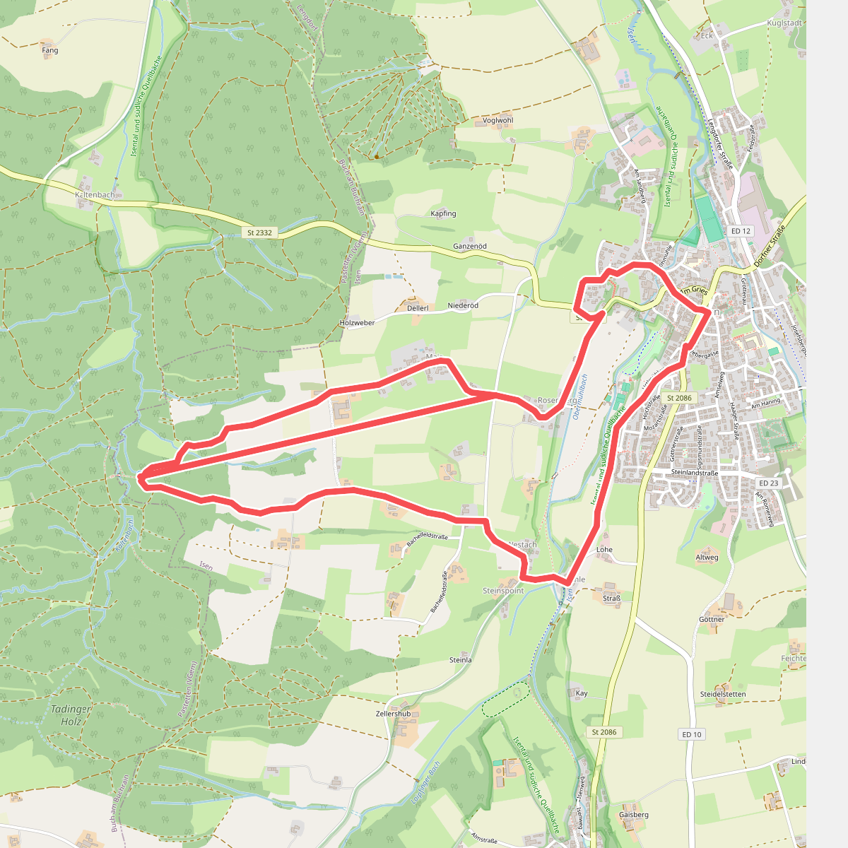
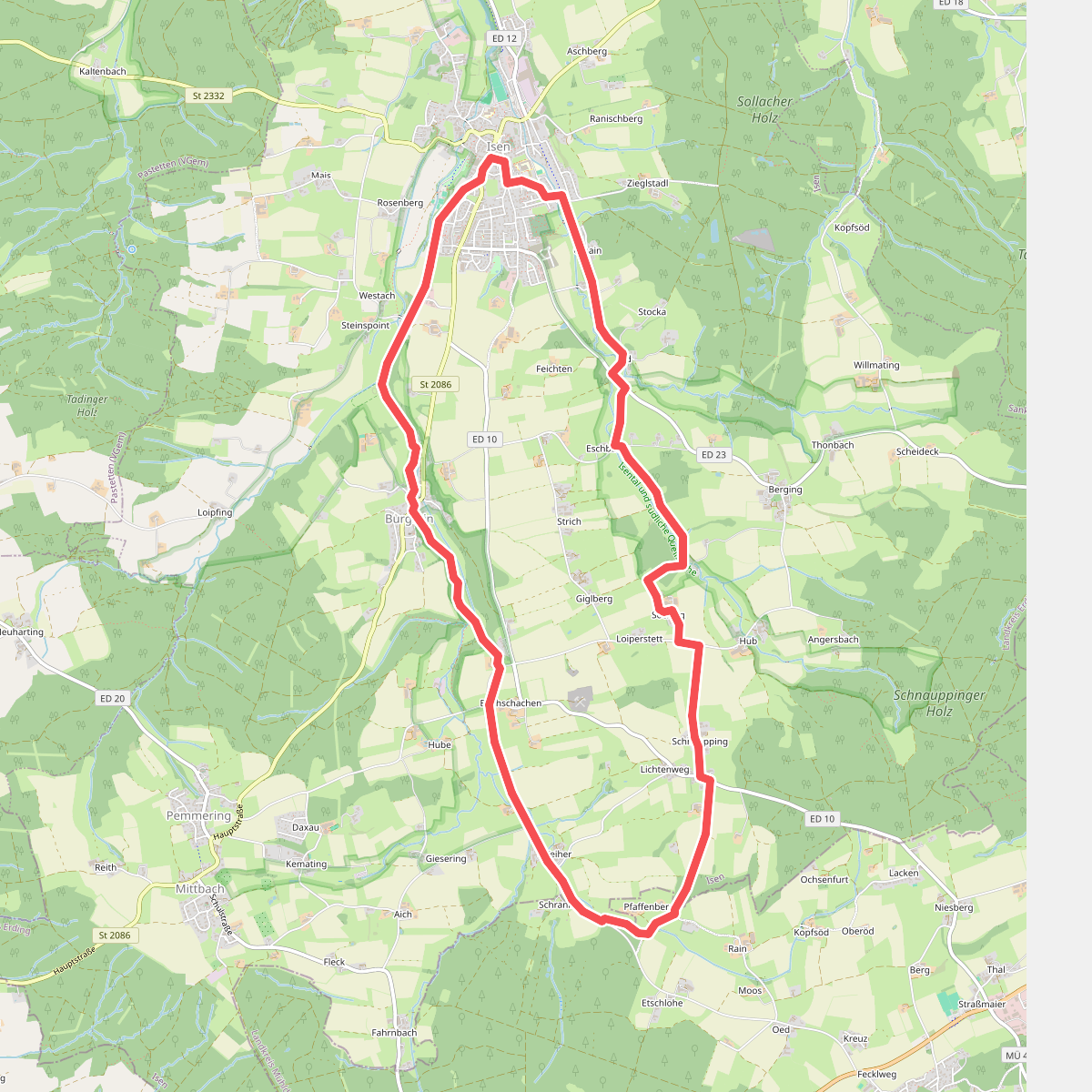
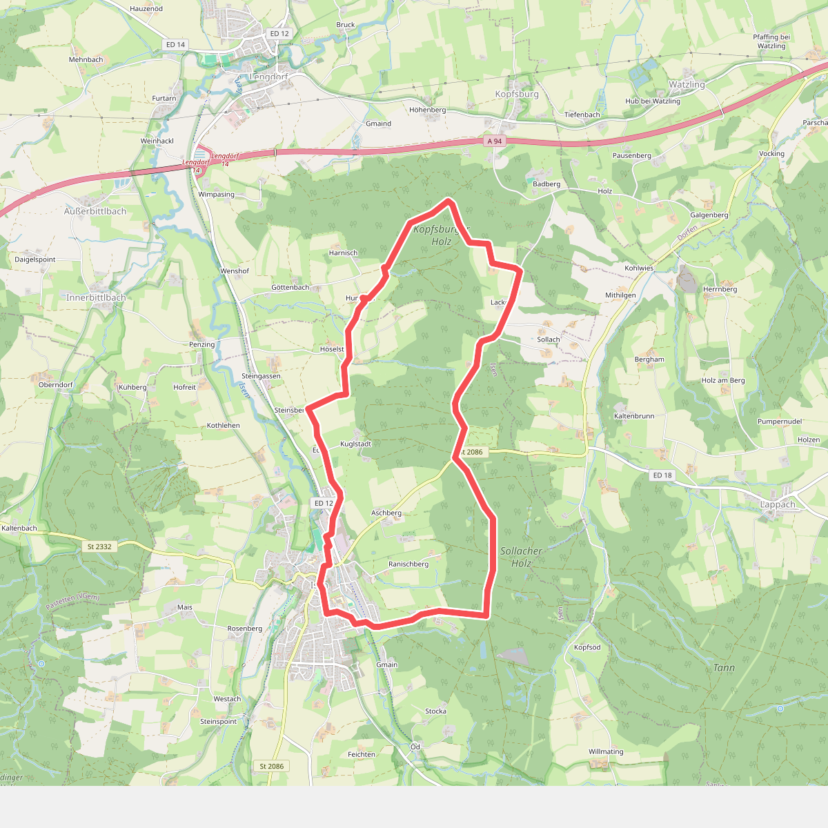
Discover the best walks in Isental und südliche Quellbäche. 3 routes on the map, with descriptions, photos and GPX.
About Isental und südliche Quellbäche
Isental und südliche Quellbäche offers a walking experience defined by a damp river valley and its feeding spring brooks. Unlike the drier, pine-dominated forests of the wider region, this protected area is shaped by water flowing through low-lying meadows, alder carrs, and wet woodlands. The terrain is mostly flat to gently sloping, meaning you will not find dramatic ridges or deep gorges here, but rather a subtle, water-carved landscape where small streams cut through the clay and peat soils.
Read more
About Isental und südliche Quellbäche
Isental und südliche Quellbäche offers a walking experience defined by a damp river valley and its feeding spring brooks. Unlike the drier, pine-dominated forests of the wider region, this protected area is shaped by water flowing through low-lying meadows, alder carrs, and wet woodlands. The terrain is mostly flat to gently sloping, meaning you will not find dramatic ridges or deep gorges here, but rather a subtle, water-carved landscape where small streams cut through the clay and peat soils.
Read moreIsental und südliche Quellbäche offers a walking experience defined by a damp river valley and its feeding spring brooks. Unlike the drier, pine-dominated forests of the wider region, this protected area is shaped by water flowing through low-lying meadows, alder carrs, and wet woodlands. The terrain is mostly flat to gently sloping, meaning you will not find dramatic ridges or deep gorges here, but rather a subtle, water-carved landscape where small streams cut through the clay and peat soils.
Underfoot, walkers should expect a mix of damp earth tracks, grassy paths along the meadows, and firmer gravel forest roads. The paths closely follow the meandering courses of the Isen and its southern tributaries, where the vegetation changes rapidly from thick, moisture-loving reeds to patches of mixed deciduous woodland. In late spring, around May, these damp meadows are easily recognized by the bright yellow blooms of marsh marigolds and dense patches of tall herbs.
This area is best suited for those who prefer quiet, observant walking over challenging terrain. While the main trails near the villages can see some local foot traffic, the deeper sections along the smaller headwater streams offer a much quieter atmosphere. It is a working agricultural and conservation landscape, where drainage ditches and managed pastures sit directly alongside restored, naturally flowing stream beds.