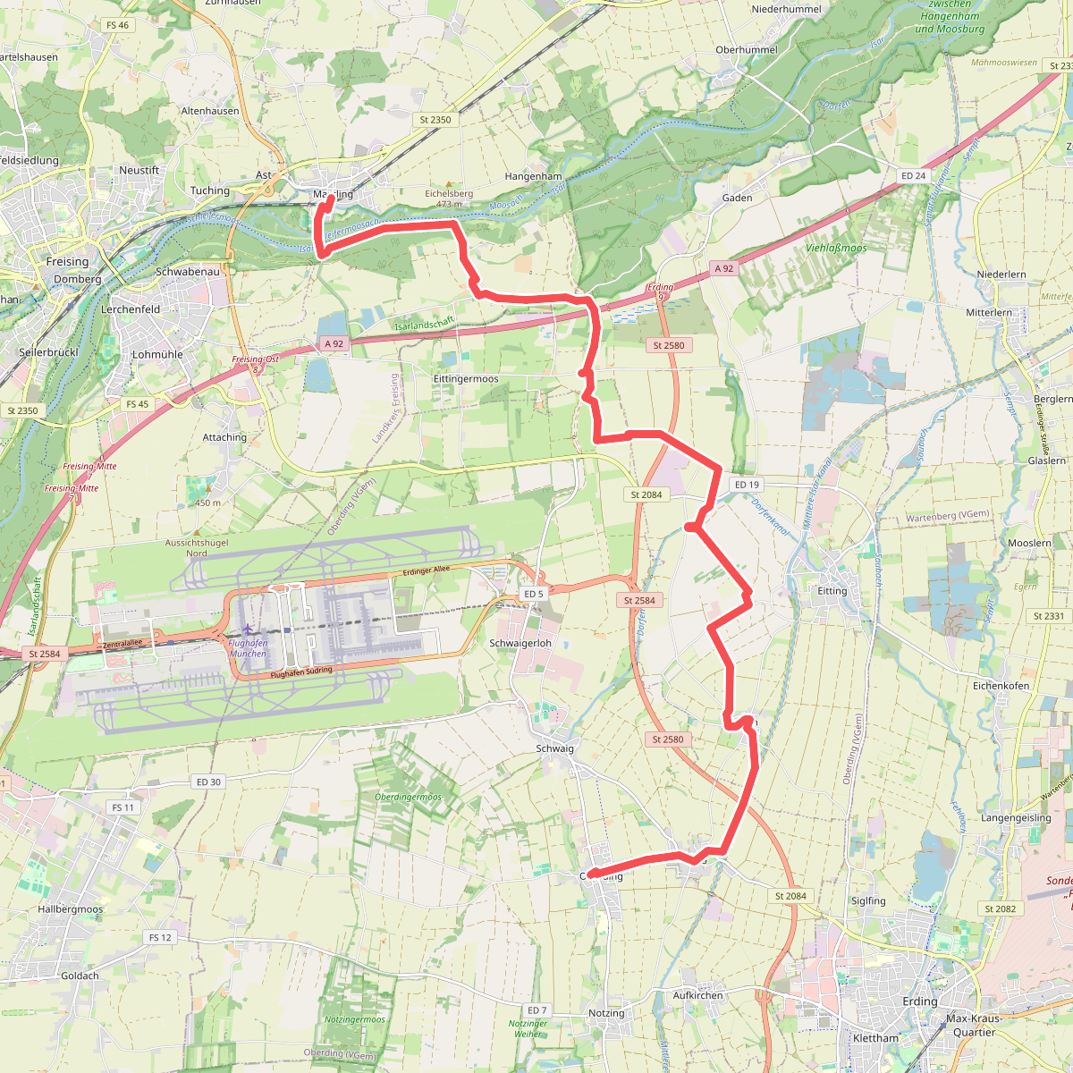
The best hiking routes in Isarlandschaft
Discover the best walks in Isarlandschaft. 8 routes on the map, with descriptions, photos and GPX.
About Isarlandschaft
The Isarlandschaft offers a distinct walking experience shaped by the alpine gravels carried down by the Isar river. Unlike the deep forests of the surrounding Bavarian hills, this river corridor is defined by a shifting mosaic of wide gravel banks, dense willow thickets, and dry pine forests known as Brennen. The terrain underfoot changes constantly, transitioning from soft, shifting river pebbles to hard-packed dirt tracks and pine-needle paths.
Read more
About Isarlandschaft
The Isarlandschaft offers a distinct walking experience shaped by the alpine gravels carried down by the Isar river. Unlike the deep forests of the surrounding Bavarian hills, this river corridor is defined by a shifting mosaic of wide gravel banks, dense willow thickets, and dry pine forests known as Brennen. The terrain underfoot changes constantly, transitioning from soft, shifting river pebbles to hard-packed dirt tracks and pine-needle paths.
Read moreThe Isarlandschaft offers a distinct walking experience shaped by the alpine gravels carried down by the Isar river. Unlike the deep forests of the surrounding Bavarian hills, this river corridor is defined by a shifting mosaic of wide gravel banks, dense willow thickets, and dry pine forests known as Brennen. The terrain underfoot changes constantly, transitioning from soft, shifting river pebbles to hard-packed dirt tracks and pine-needle paths.
Walking here means navigating a landscape of contrasts. On the dry, elevated gravel terraces, the soil is thin and supports specialist wildflowers and stunted pines, creating an open, almost arid feel. Just a few steps closer to the water, the path enters damp alluvial woodlands where mosses, ferns, and fallen timber dominate. There are no steep climbs or panoramic mountain vistas within this riverbed reserve, but the flat, braided channels provide a clear sense of space.
In late spring, particularly around May, the gravel banks are often bright with colonising pioneer plants before the summer heat dries the exposed stones. While the main paths near the bridges and access points can be busy with local walkers, the narrower tracks winding through the dense riverside scrub offer a much quieter, more enclosed experience.
Hiking routes in Isarlandschaft (8)
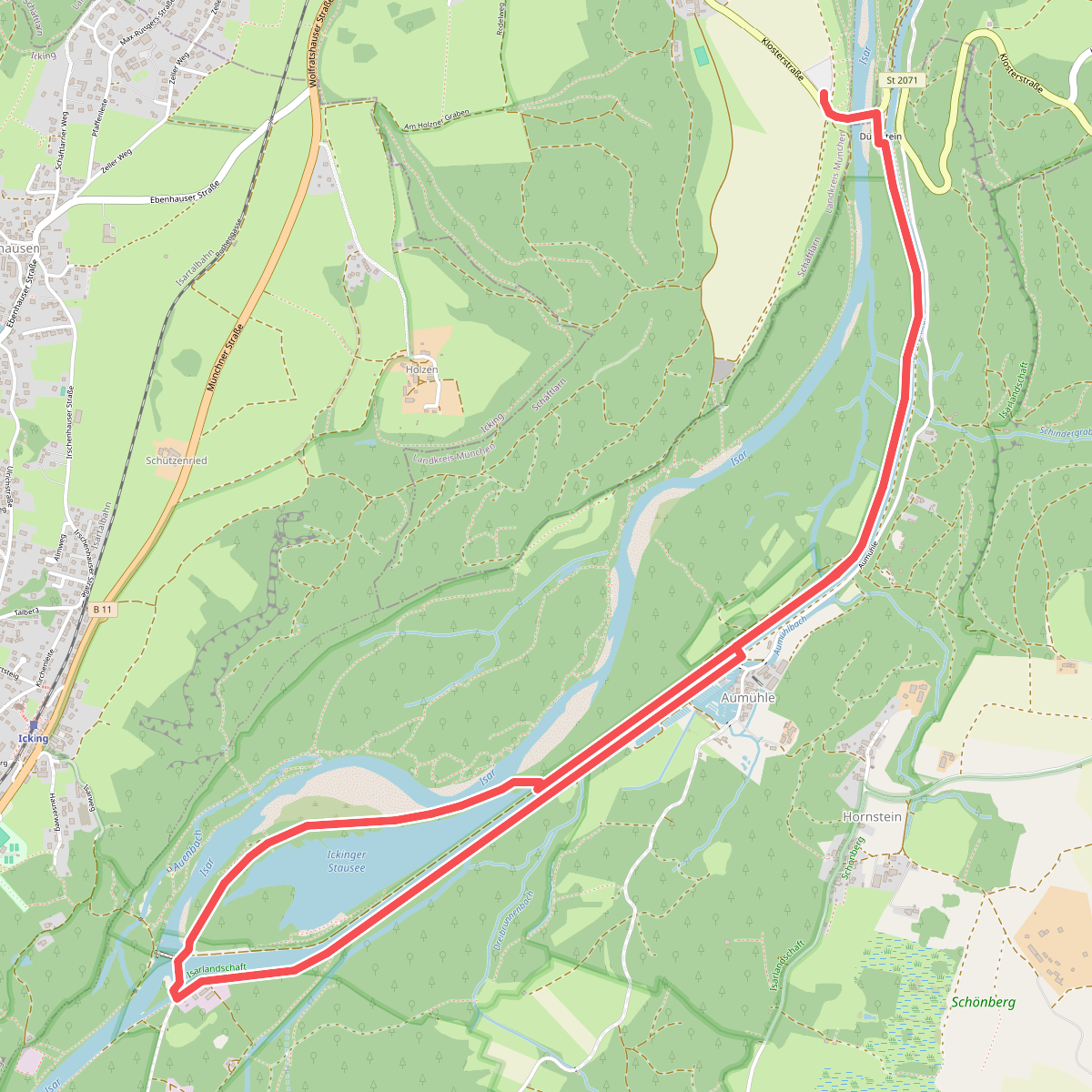
#1. Isar Erlebnispfad "Natur", Kloster Schäftlarn
Schäftlarn,Egling
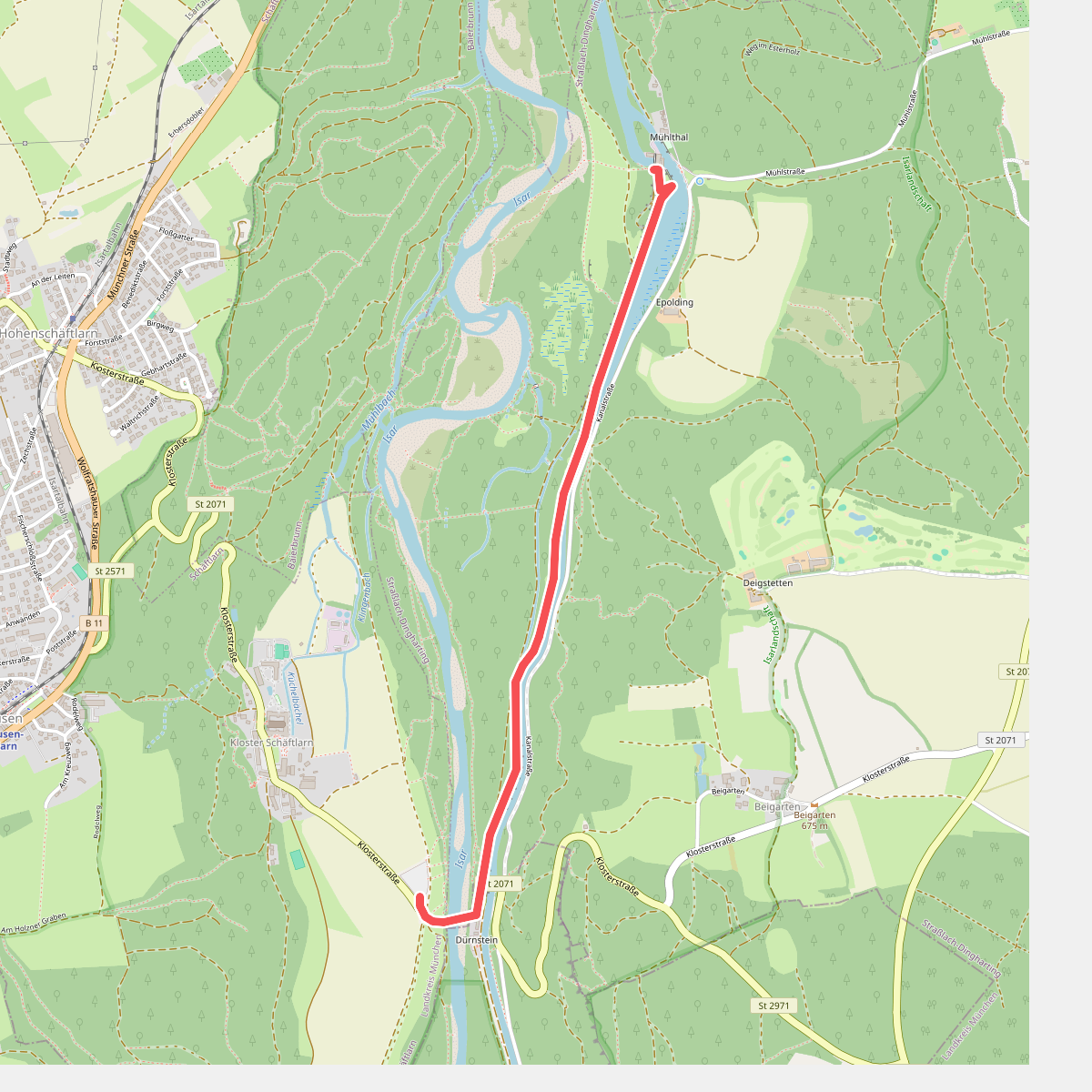
#2. Isar Erlebnispfad "Technik", Kloster Schäftlarn
Schäftlarn,Egling,Straßlach-Dingharting
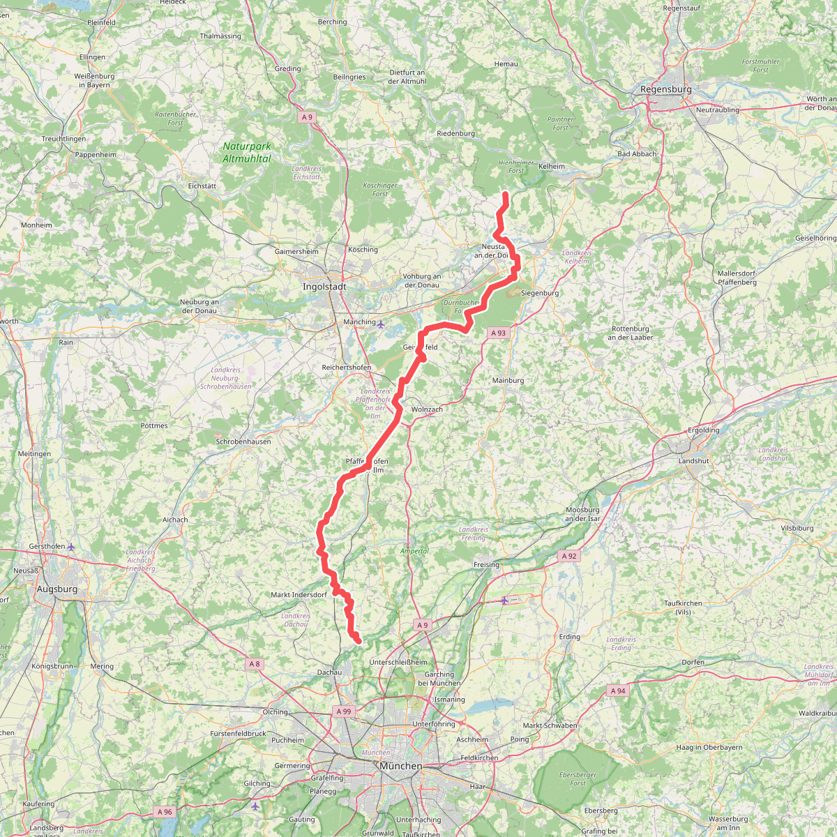
#3. Jakobsweg (Weltenburg - Scheyern - Dachau)
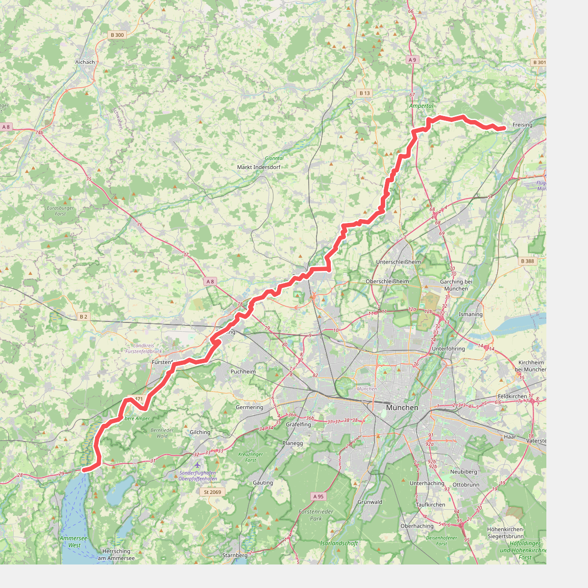
#4. Münchner Jakobsweg (Zubringer Vötting - Ammersee)
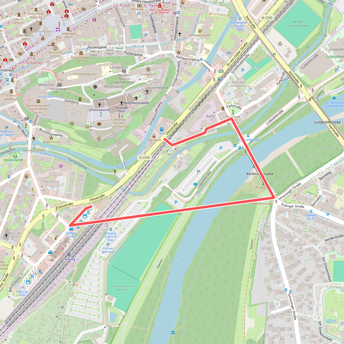
#5. MVV Wanderweg Dreieck
Freising
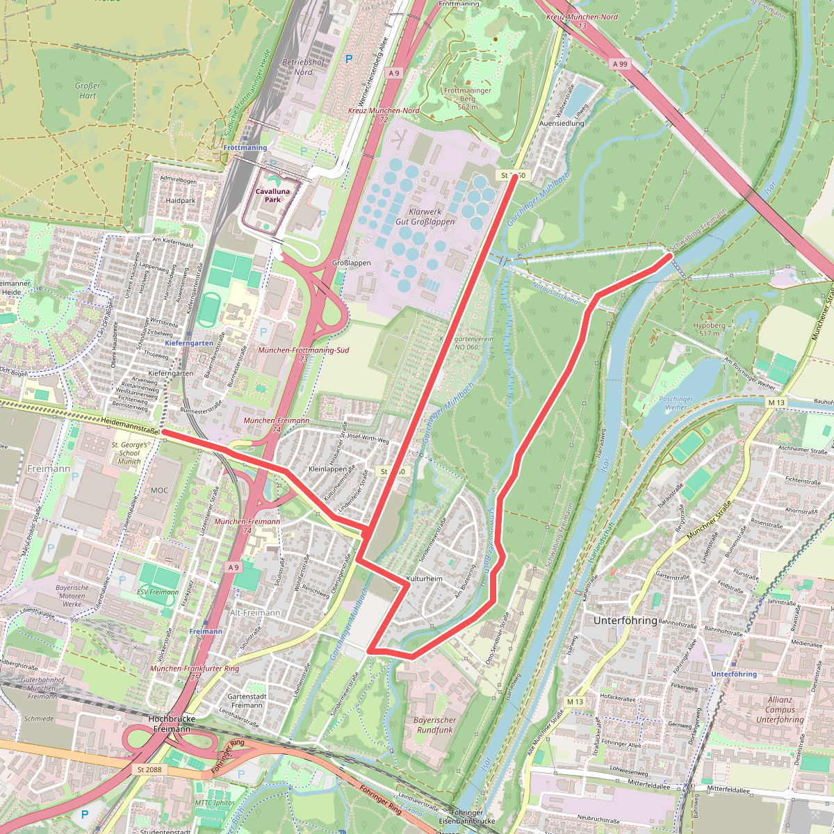
#6. MVV Wanderweg Quadrat
München
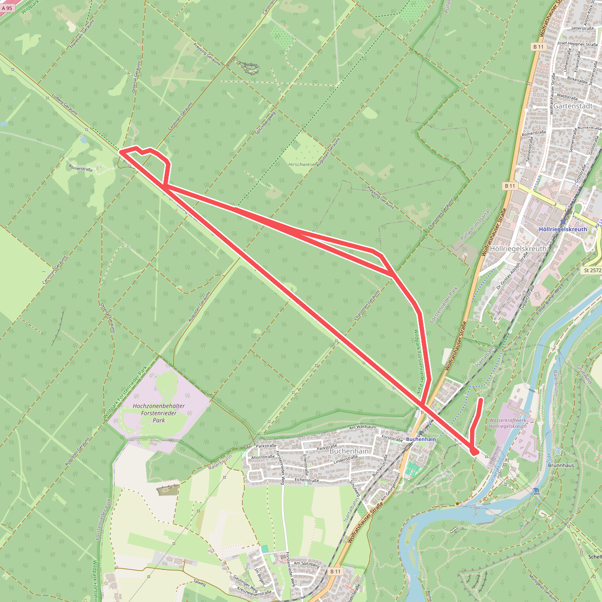
#7. Römerstraße
Baierbrunn,Forstenrieder Park