The best hiking routes in Hoher Fläming
Discover the best walks in Hoher Fläming. 49 routes on the map, with descriptions, photos and GPX.
About Hoher Fläming
The Hoher Fläming is a glaciated upland in Brandenburg characterized by gently swelling hills rather than dramatic peaks or steep valleys. This landscape is a terminal moraine from the Saale glaciation, which means you will walk across a mix of dry, sandy pine forests and pockets of damp, clay-heavy beech woods. The transition between these soil types is visible on the ground, where dry needles and loose sand suddenly give way to damp leaf litter and firmer earth. Deeply eroded dry valleys, locally called Rummeln, cut through the hills and offer shaded, cooler paths beneath the canopy.
Read more
About Hoher Fläming
The Hoher Fläming is a glaciated upland in Brandenburg characterized by gently swelling hills rather than dramatic peaks or steep valleys. This landscape is a terminal moraine from the Saale glaciation, which means you will walk across a mix of dry, sandy pine forests and pockets of damp, clay-heavy beech woods. The transition between these soil types is visible on the ground, where dry needles and loose sand suddenly give way to damp leaf litter and firmer earth. Deeply eroded dry valleys, locally called Rummeln, cut through the hills and offer shaded, cooler paths beneath the canopy.
Read moreThe Hoher Fläming is a glaciated upland in Brandenburg characterized by gently swelling hills rather than dramatic peaks or steep valleys. This landscape is a terminal moraine from the Saale glaciation, which means you will walk across a mix of dry, sandy pine forests and pockets of damp, clay-heavy beech woods. The transition between these soil types is visible on the ground, where dry needles and loose sand suddenly give way to damp leaf litter and firmer earth. Deeply eroded dry valleys, locally called Rummeln, cut through the hills and offer shaded, cooler paths beneath the canopy.
Underfoot, the trails are mostly unpaved forestry tracks and sandy paths that can feel soft and loose. In the lower-lying areas, small streams like the Plane and the Belziger Bach create narrow, wet meadows where the ground becomes soft and muddy. You will not find boardwalks here; instead, the routes rely on natural terrain, requiring sturdy footwear to navigate the exposed tree roots and occasional stony patches left behind by the retreating ice sheet.
While the area is generally quiet, the paths around the medieval Rabenstein Castle and the town of Bad Belzig tend to see more visitors, especially during the autumn leaf color change in October. Outside of these specific focal points, the vast pine plantations and quiet beech forests offer a solitary walking experience where the landscape changes slowly and subtly over long distances.
Hiking routes in Hoher Fläming (49)
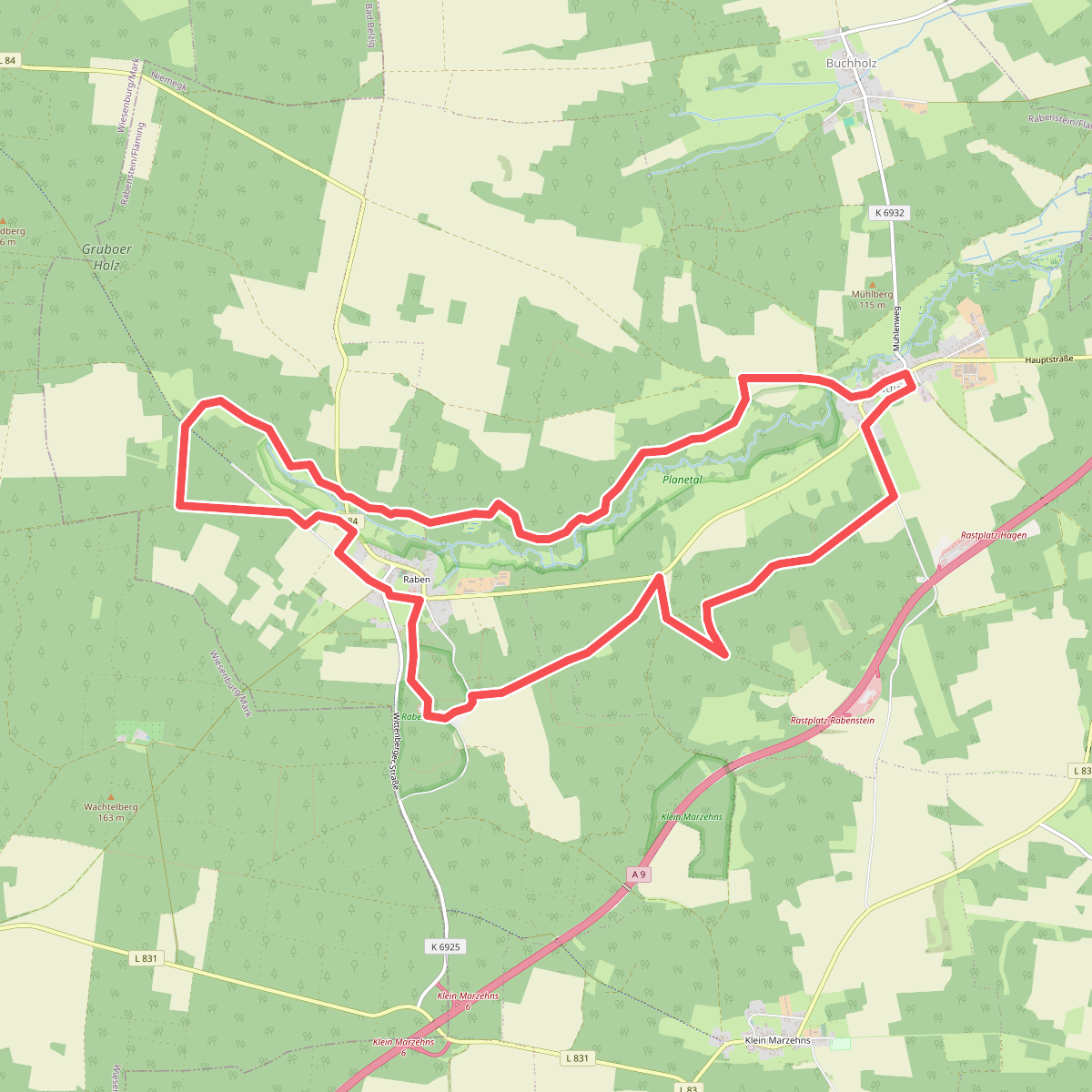
#1. Bergmolchwanderweg
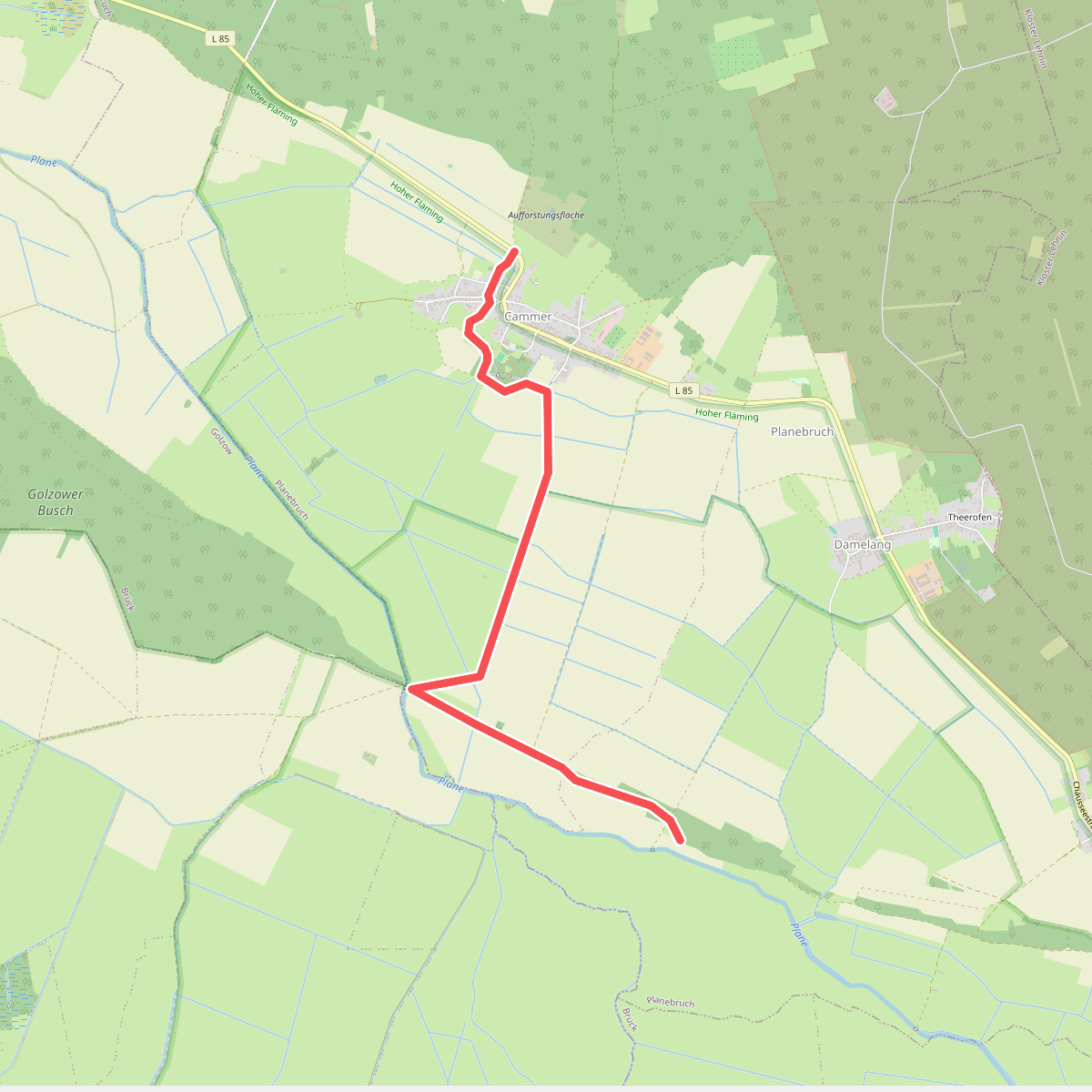
#2. Brück-Krahne
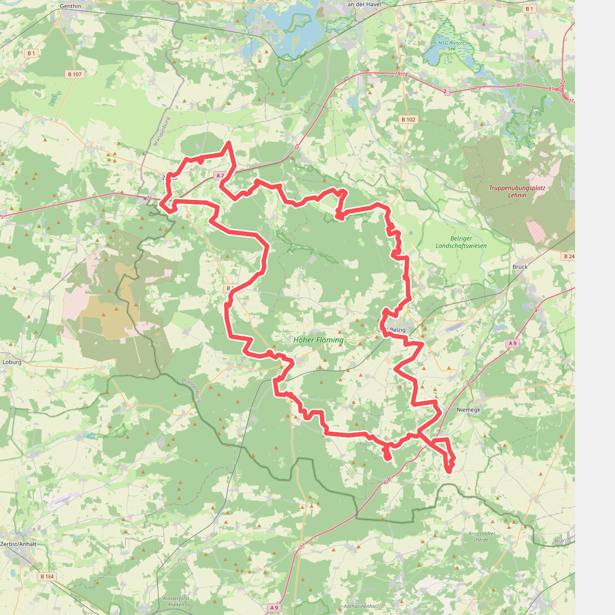
#3. Burgenwanderweg
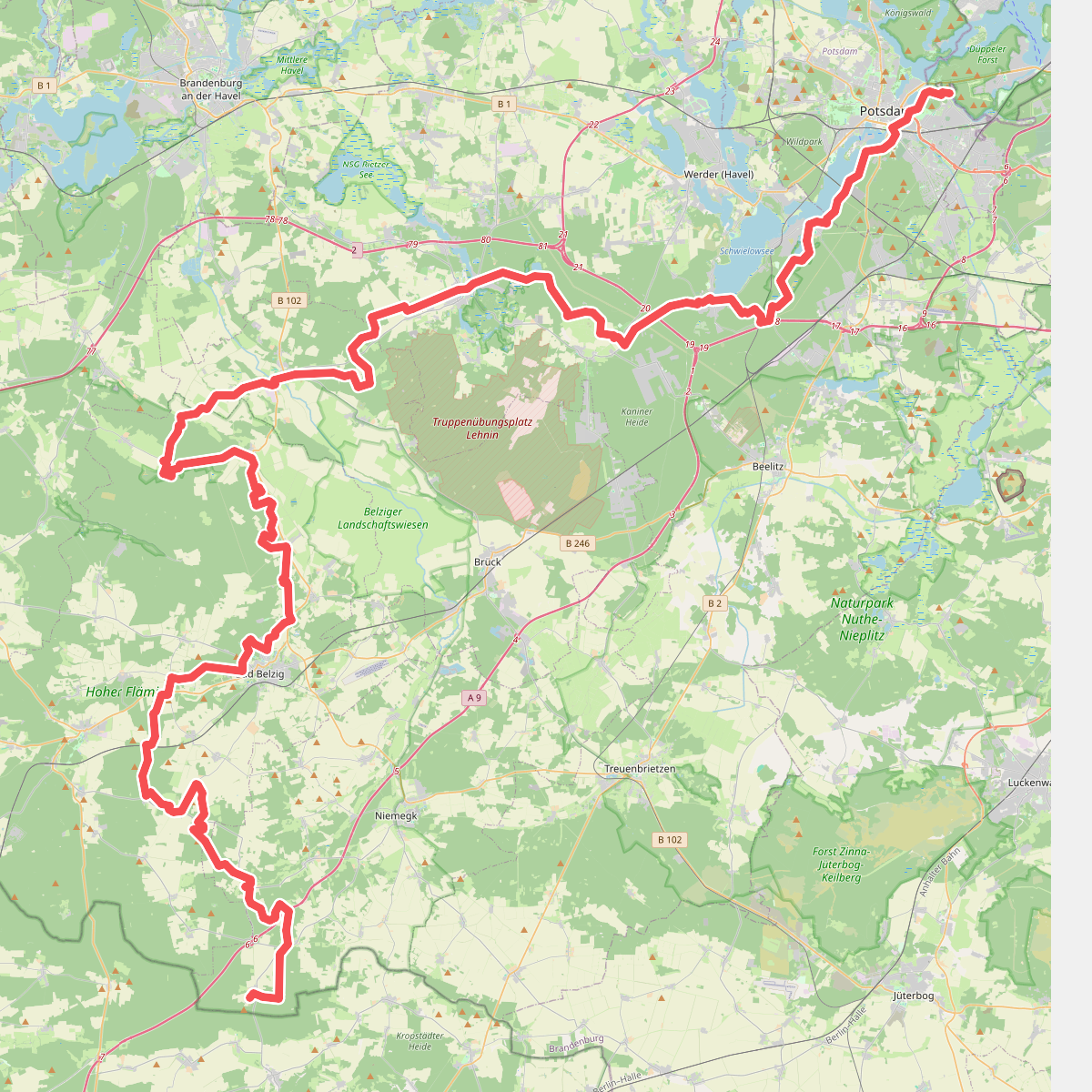
#4. Europäischer Fernwanderweg E11, Brandenburg (W)
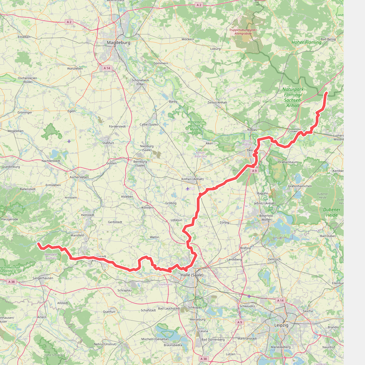
#5. Europäischer Fernwanderweg E11, Sachsen-Anhalt (O)
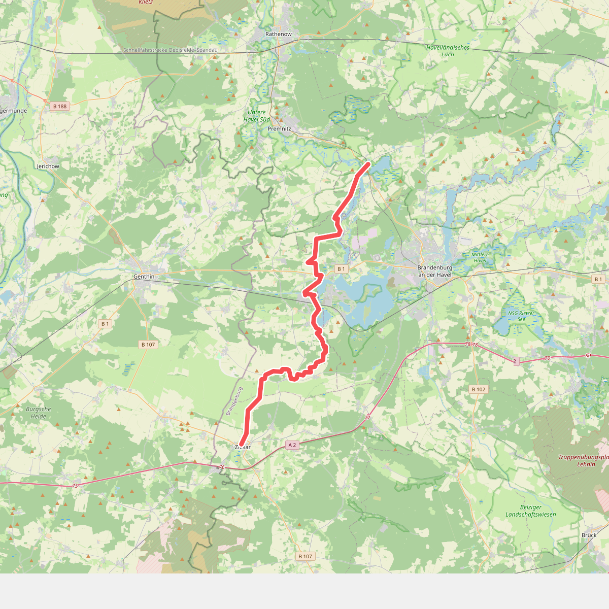
#6. Fiener-Bruch-Havel-Wanderweg
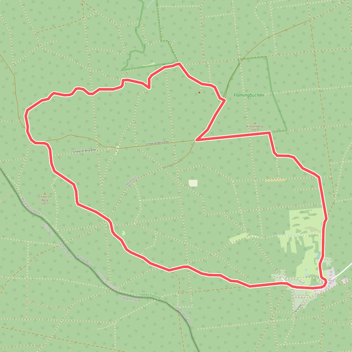
#7. Findlingswanderweg
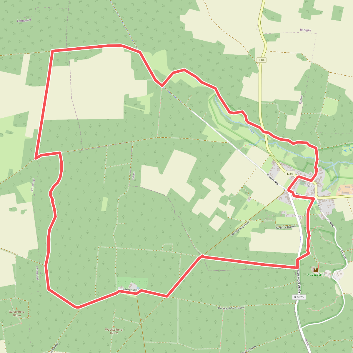
#8. Grüne Rummel Wanderweg
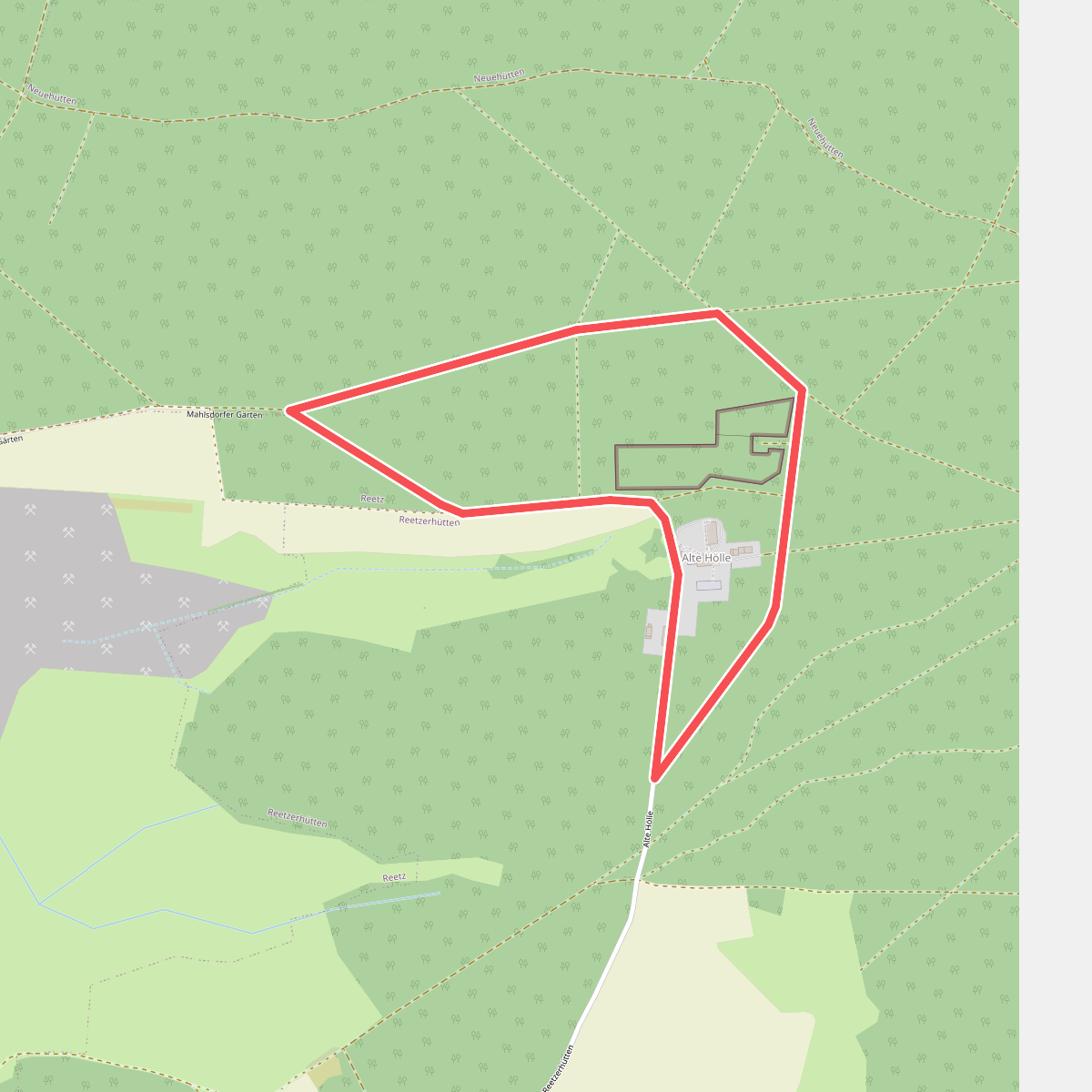
#9. Kleiner Rundweg
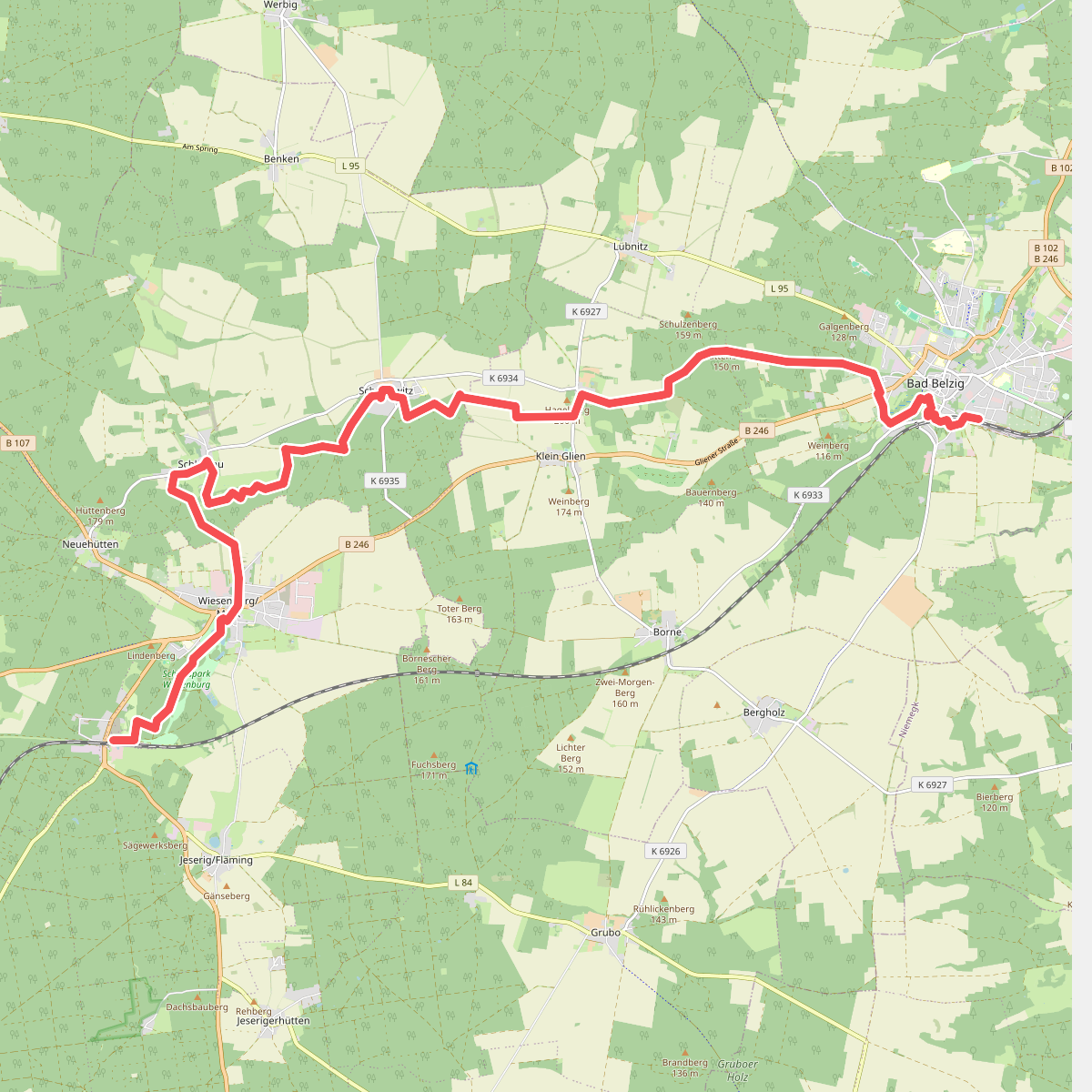
#10. Kunstwanderweg Nordroute
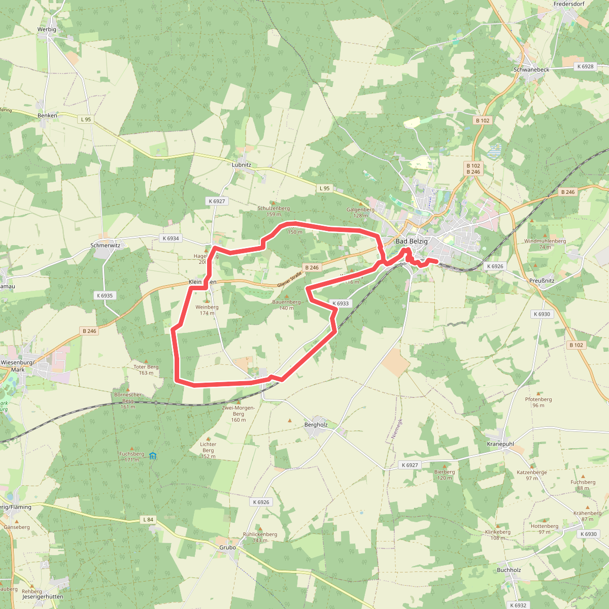
#11. Kunstwanderweg Rundwanderweg Ostroute