

The best hiking routes in Högenbachtal, Lichtenegg, Beselberg mit westlichem Birgland
Discover the best walks in Högenbachtal, Lichtenegg, Beselberg mit westlichem Birgland. 38 routes on the map, with descriptions, photos and GPX.
About Högenbachtal, Lichtenegg, Beselberg mit westlichem Birgland
The Högenbachtal, Lichtenegg, Beselberg mit westlichem Birgland offers a distinct contrast between damp valley floors and dry, forested limestone ridges. In the lower sections along the Högenbach stream, the ground is often soft and grassy, with damp meadows lining the narrow watercourse. As you climb toward the heights of Lichtenegg and the Beselberg, the terrain shifts abruptly to thin, stony soils over Franconian jurassic dolomite, where pine and beech roots grip the rocky surface.
Read more
About Högenbachtal, Lichtenegg, Beselberg mit westlichem Birgland
The Högenbachtal, Lichtenegg, Beselberg mit westlichem Birgland offers a distinct contrast between damp valley floors and dry, forested limestone ridges. In the lower sections along the Högenbach stream, the ground is often soft and grassy, with damp meadows lining the narrow watercourse. As you climb toward the heights of Lichtenegg and the Beselberg, the terrain shifts abruptly to thin, stony soils over Franconian jurassic dolomite, where pine and beech roots grip the rocky surface.
Read moreThe Högenbachtal, Lichtenegg, Beselberg mit westlichem Birgland offers a distinct contrast between damp valley floors and dry, forested limestone ridges. In the lower sections along the Högenbach stream, the ground is often soft and grassy, with damp meadows lining the narrow watercourse. As you climb toward the heights of Lichtenegg and the Beselberg, the terrain shifts abruptly to thin, stony soils over Franconian jurassic dolomite, where pine and beech roots grip the rocky surface.
Walking here means navigating these two distinct levels. The valley paths are mostly flat, wide agricultural tracks, while the ascents to the craggy outcrops require stepping over loose limestone rubble and exposed tree roots. The ruins of Lichtenegg Castle sit on a prominent spur, showing how the underlying geology dictated historical settlement, with the white rock faces visible through the trees during the leaf-free winter months of January and February.
This area lacks the dramatic scale of high alpine peaks, offering instead a dense network of short, steep climbs and descents through mixed woodland and juniper slopes. It is a working landscape where forestry tracks often intersect with footpaths, meaning you will encounter active timber management alongside the quieter, narrow forest trails.
Hiking routes in Högenbachtal, Lichtenegg, Beselberg mit westlichem Birgland (38)
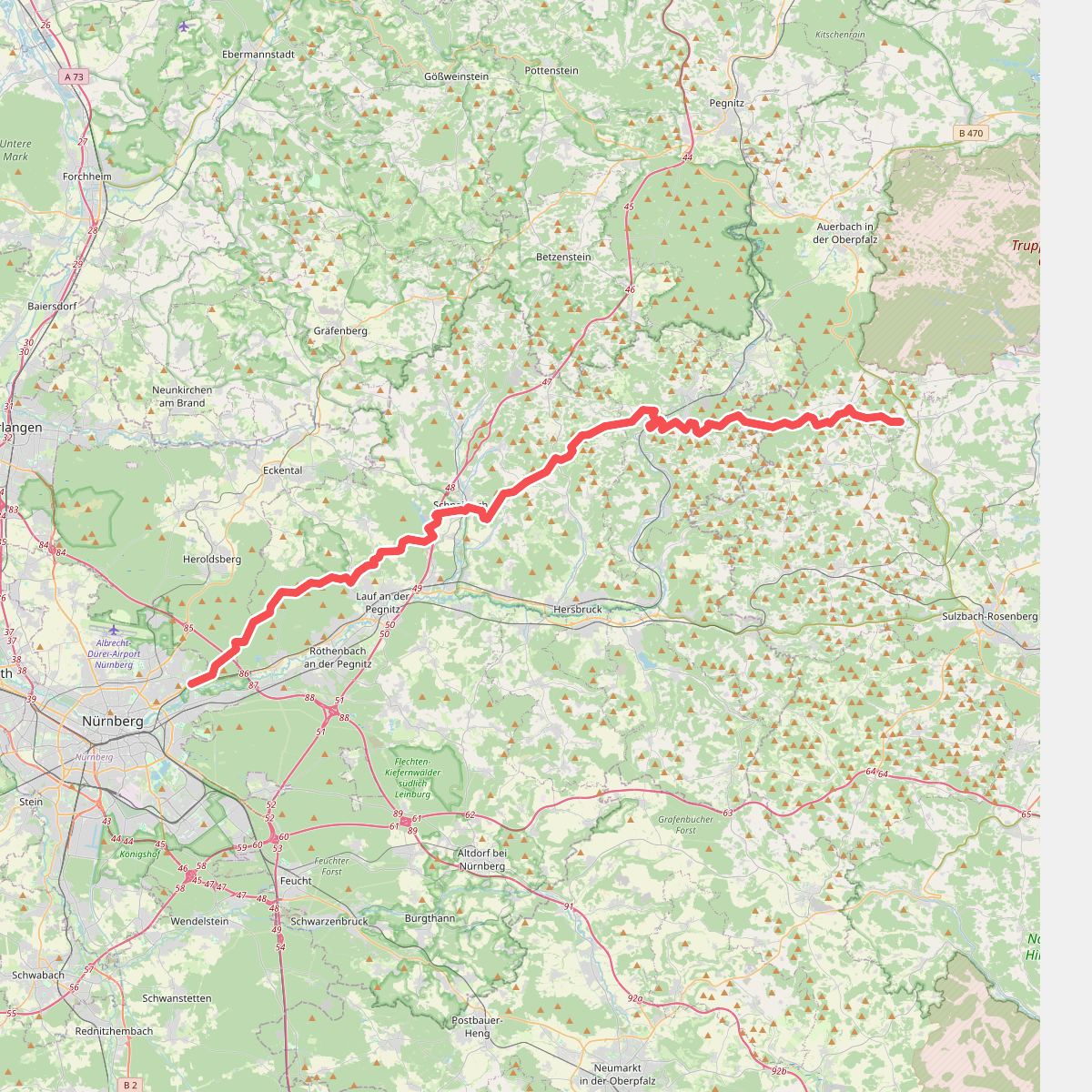
#1. Alb-Quer-Weg
Nürnberg,Erlenstegener Forst,Behringersdorfer Forst,Günthersbühler Forst,Rückersdorfer Forst,Lauf an der Pegnitz,Schnaittach,Kirchensittenbach,Velden,Hartenstein,Neuhaus an der Pegnitz,Hirschbach,Königstein
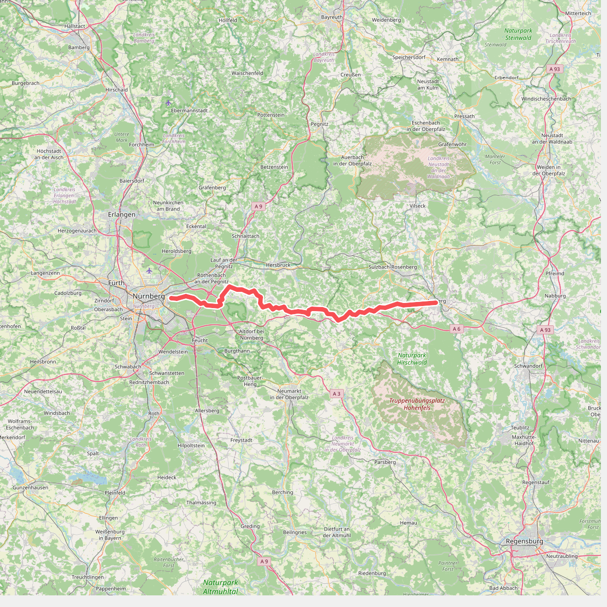
#2. Anton-Leidinger-Weg
Nürnberg,Zerzabelshofer Forst,Laufamholzer Forst,Brunn,Leinburg,Röthenbach an der Pegnitz,Engelthaler Forst,Offenhausen,Lauterhofen,Happurg,Alfeld,Birgland,Illschwang,Ammerthal
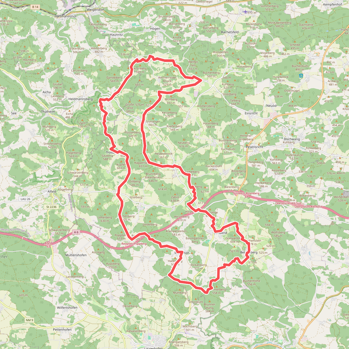
#3. Birgland-Rundwanderweg
Birgland,Pommelsbrunn
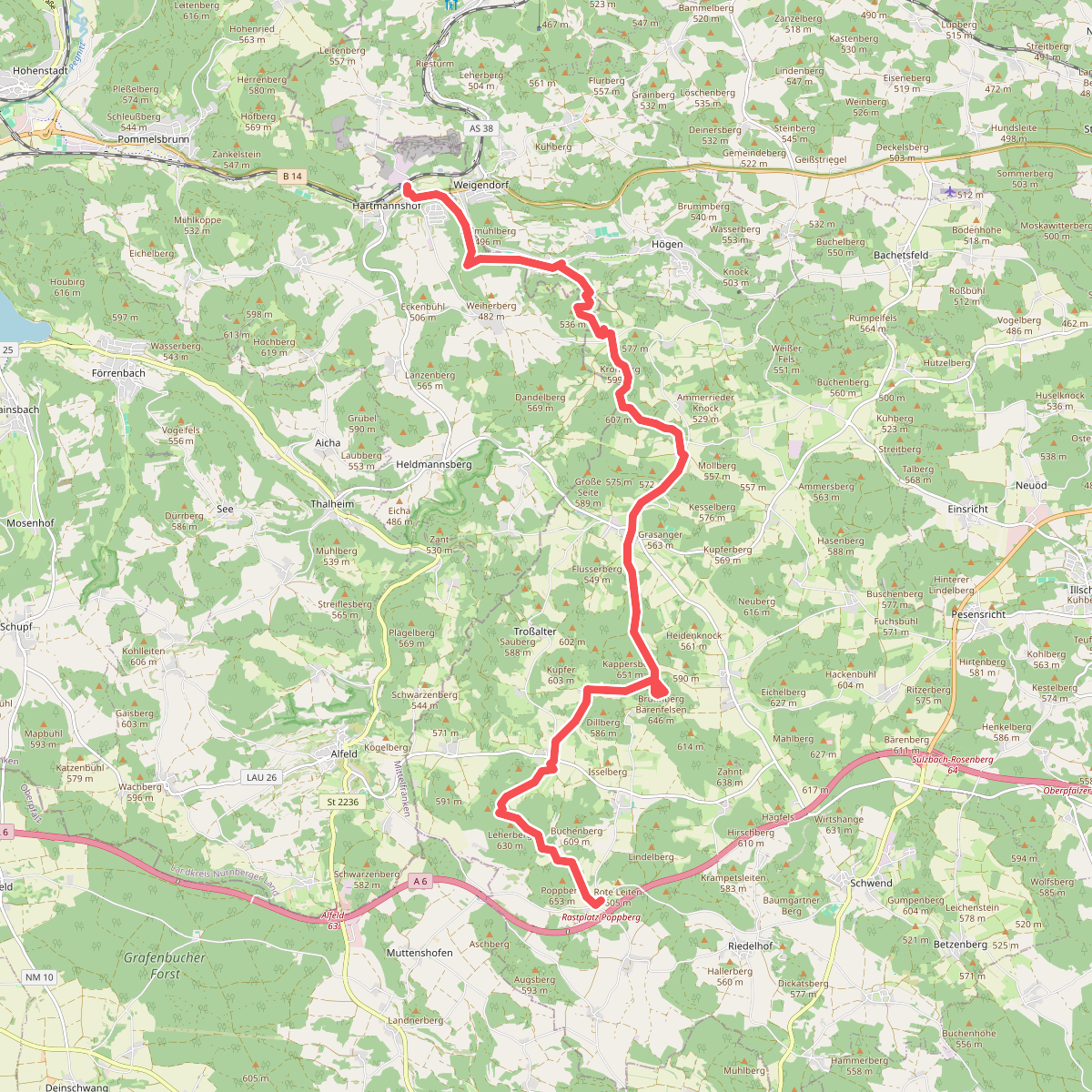
#4. Birglandtrail
Pommelsbrunn,Weigendorf,Birgland
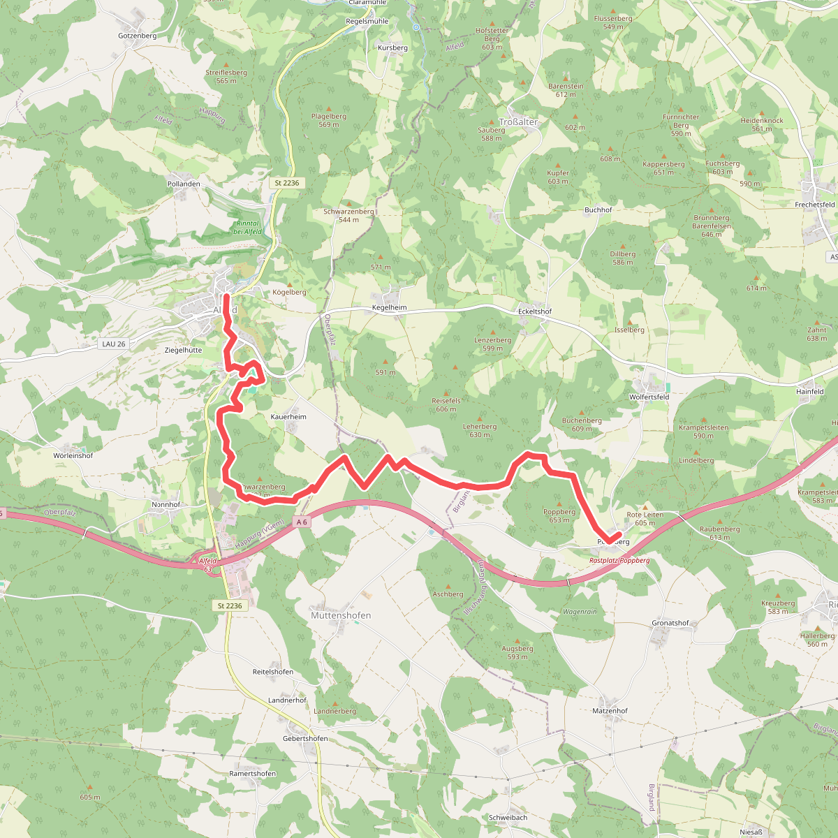
#5. Blaupunkt
Birgland,Lauterhofen,Alfeld
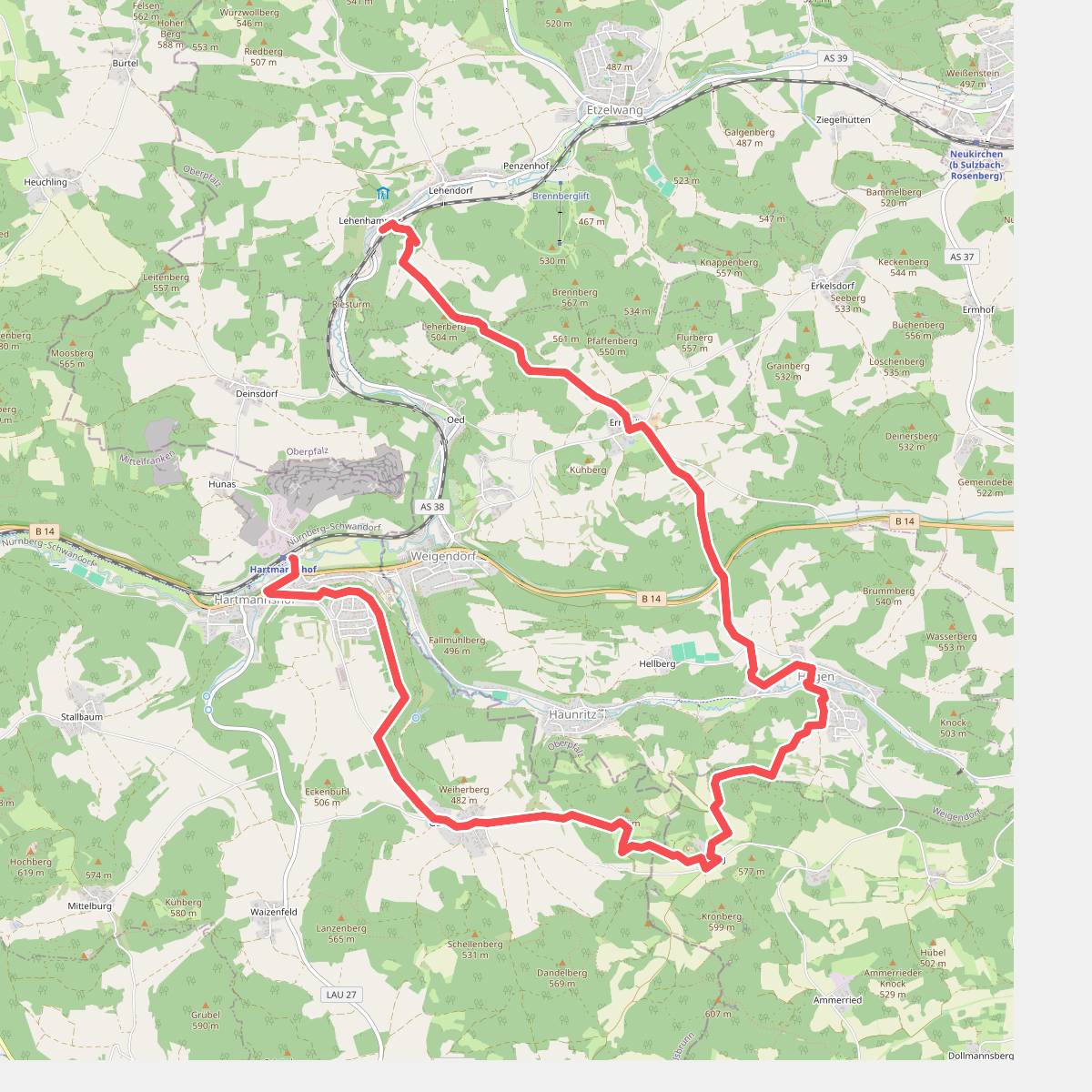
#6. Blaupunkt
Pommelsbrunn,Birgland,Weigendorf,Etzelwang
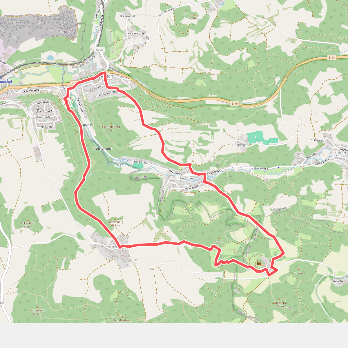
#7. Blauring
Birgland,Pommelsbrunn,Weigendorf
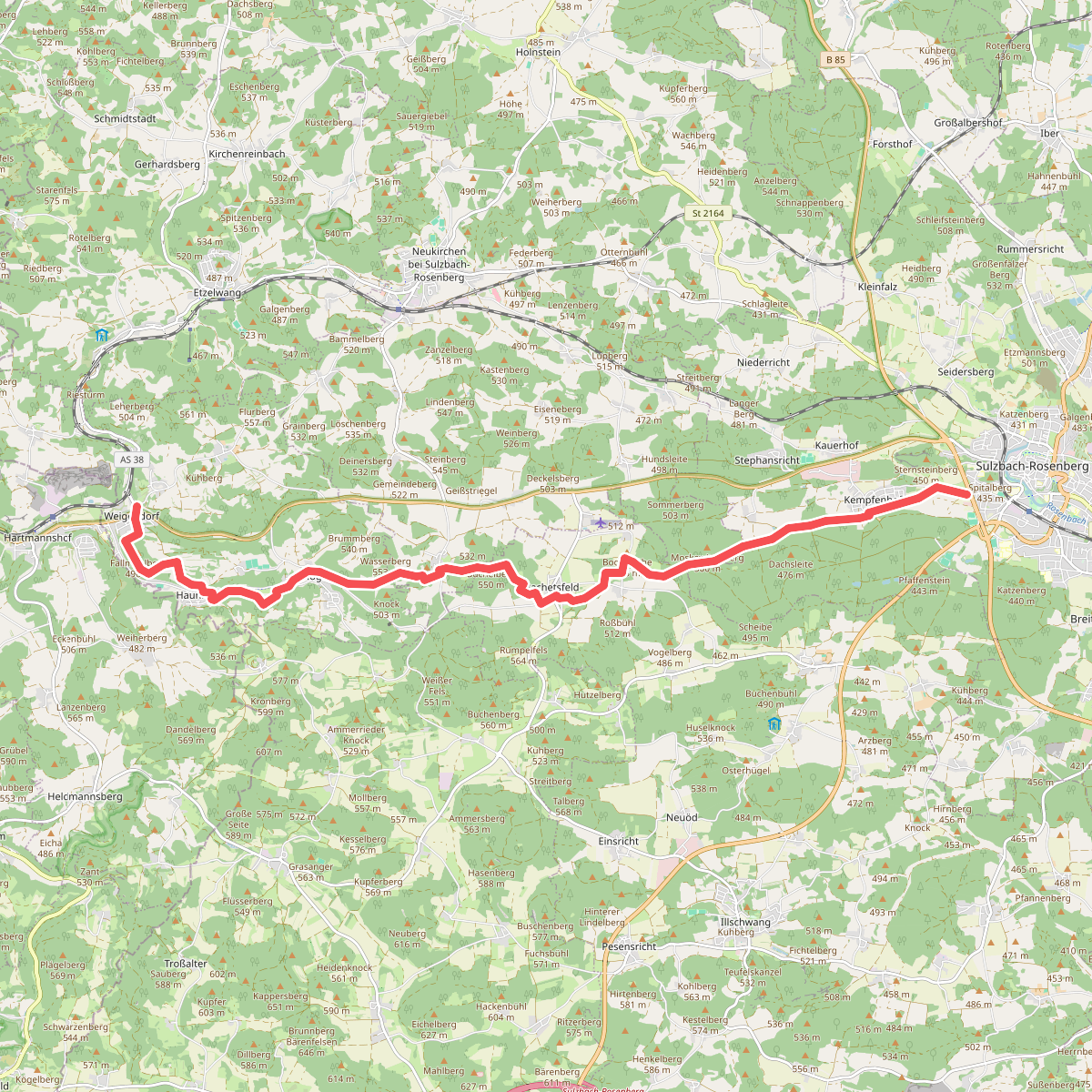
#8. Erzweg Högener Schlaufe
Weigendorf,Neukirchen bei Sulzbach-Rosenberg,Illschwang,Sulzbach-Rosenberg
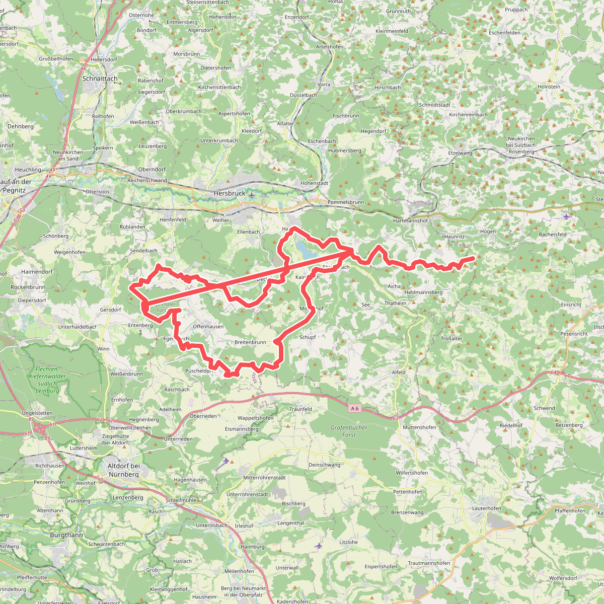
#9. Frankenalb-Panoramaweg
Birgland,Pommelsbrunn,Happurg,Engelthal,Leinburg,Engelthaler Forst,Offenhausen
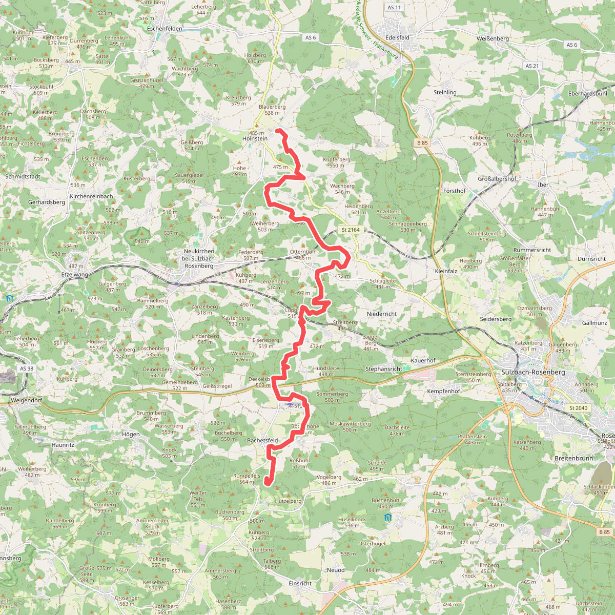
#10. Gelbkreuz
Neukirchen bei Sulzbach-Rosenberg,Sulzbach-Rosenberg,Illschwang
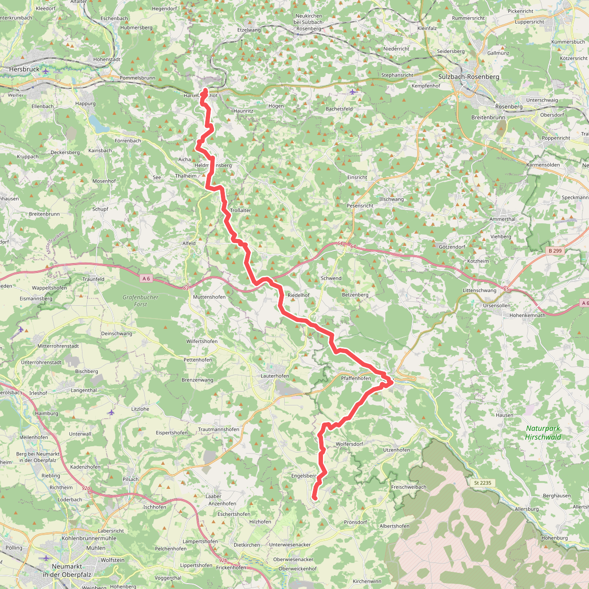
#11. Gelbkreuz (Erzweg Birgland Schlaufe)
Pommelsbrunn,Alfeld,Birgland,Kastl,Lauterhofen,Velburg
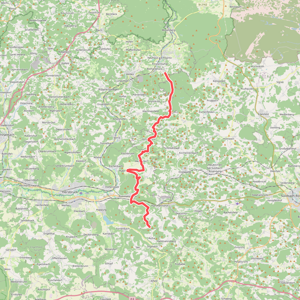
#12. Gelbpunkt
Pommelsbrunn,Hirschbach,Hartenstein,Neuhaus an der Pegnitz,Königstein



