

The best hiking routes in Hauptsmoorwald
Discover the best walks in Hauptsmoorwald. 11 routes on the map, with descriptions, photos and GPX.
About Hauptsmoorwald
Hauptsmoorwald is a sprawling, largely flat pine and mixed forest lying directly east of Bamberg. Unlike the hilly, open meadows of the nearby Franconian Switzerland, this area is characterized by its dense canopy, sandy soils, and a network of straight, wide forestry tracks. It is a working woodland where forestry management is visible, meaning you will encounter active timber harvesting zones alongside quiet, older stands of Scots pine and oak. The terrain is gently undulating at most, offering easy, level walking rather than dramatic climbs or sweeping vistas.
Read more
About Hauptsmoorwald
Hauptsmoorwald is a sprawling, largely flat pine and mixed forest lying directly east of Bamberg. Unlike the hilly, open meadows of the nearby Franconian Switzerland, this area is characterized by its dense canopy, sandy soils, and a network of straight, wide forestry tracks. It is a working woodland where forestry management is visible, meaning you will encounter active timber harvesting zones alongside quiet, older stands of Scots pine and oak. The terrain is gently undulating at most, offering easy, level walking rather than dramatic climbs or sweeping vistas.
Read moreHauptsmoorwald is a sprawling, largely flat pine and mixed forest lying directly east of Bamberg. Unlike the hilly, open meadows of the nearby Franconian Switzerland, this area is characterized by its dense canopy, sandy soils, and a network of straight, wide forestry tracks. It is a working woodland where forestry management is visible, meaning you will encounter active timber harvesting zones alongside quiet, older stands of Scots pine and oak. The terrain is gently undulating at most, offering easy, level walking rather than dramatic climbs or sweeping vistas.
Underfoot, the paths are predominantly firm gravel forestry roads and soft, sandy tracks that can become loose in dry summer months. The western edge of the forest is bordered by urban infrastructure and a busy motorway, meaning highway hum is a constant companion on that side. As you penetrate deeper eastward, the traffic noise fades, replaced by the quiet of the pines. The forest floor is dominated by blueberry bushes and moss, reflecting the nutrient-poor, acidic sand dunes that formed here during the last ice age.
This forest is best suited for those seeking straightforward, long-distance walking or running on clear, predictable paths rather than rugged hiking trails. It lacks the dramatic rock formations or deep valleys found elsewhere in Upper Franconia, offering instead a consistent, peaceful woodland environment. While the main access points near the city edge are popular with local dog walkers and cyclists, the deeper interior tracks remain quiet and spacious.
Hiking routes in Hauptsmoorwald (11)
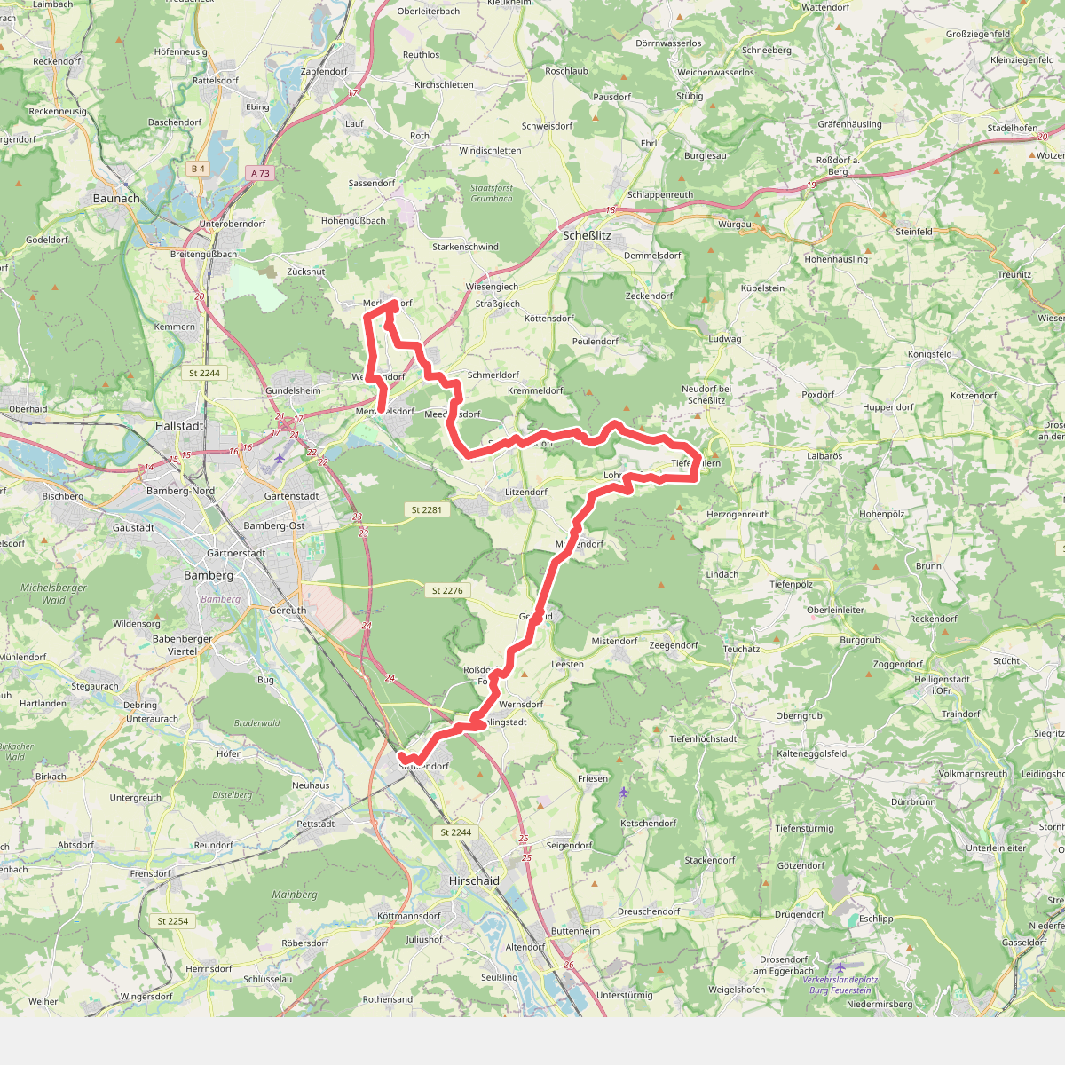
#1. 13 Brauereien Weg
Strullendorf,Geisberger Forst,Litzendorf,Scheßlitz,Memmelsdorf
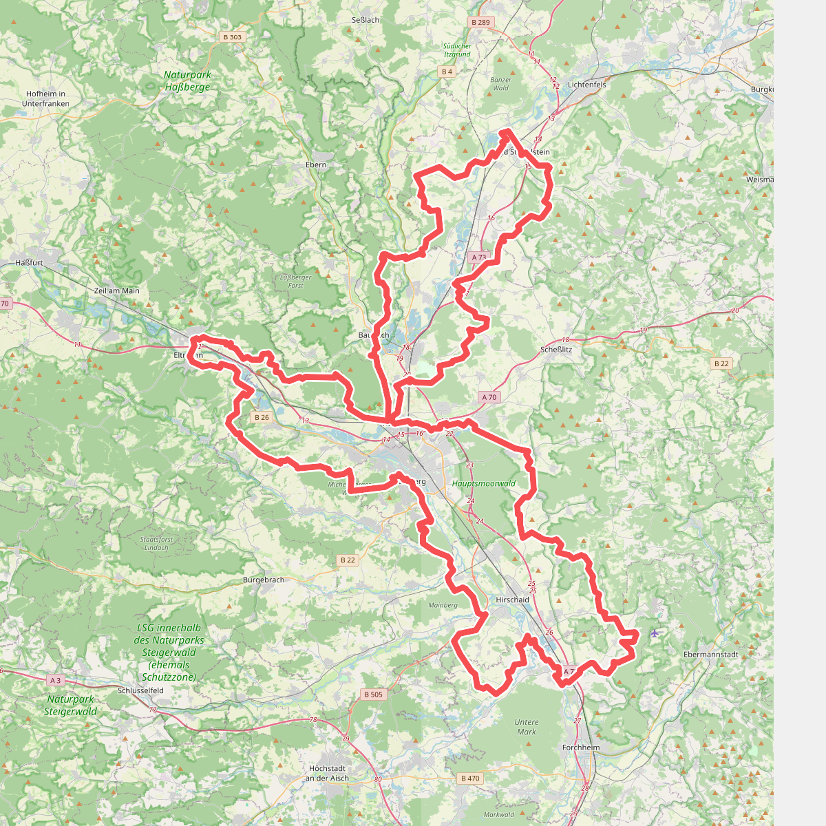
#2. 7-Flüsse-Wanderweg
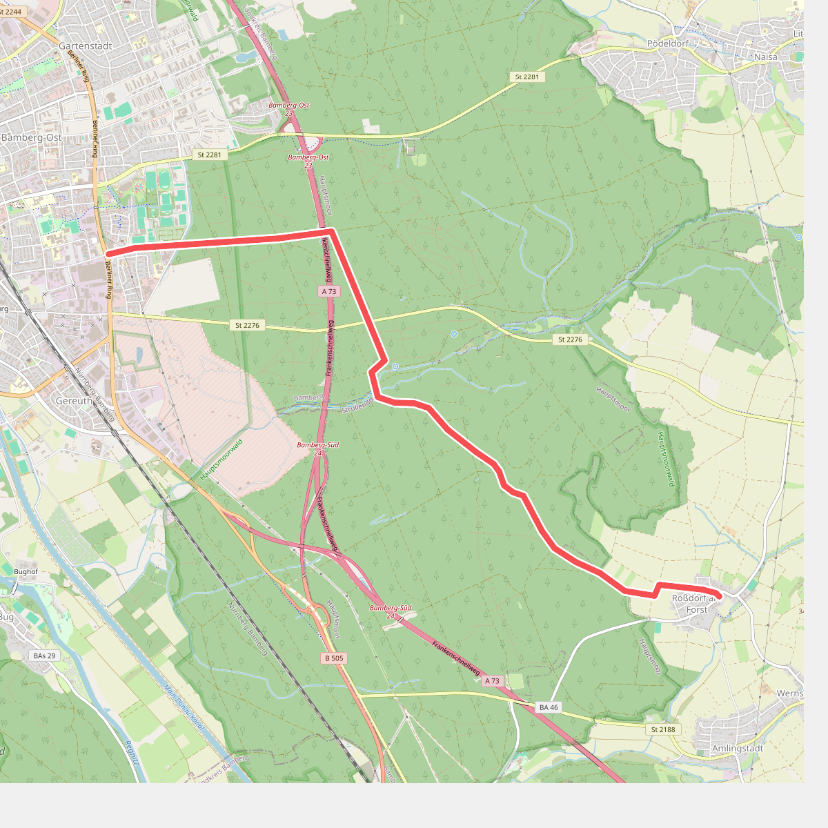
#3. Alter Roßdorfer Stadtweg
Bamberg,Hauptsmoor,Strullendorf
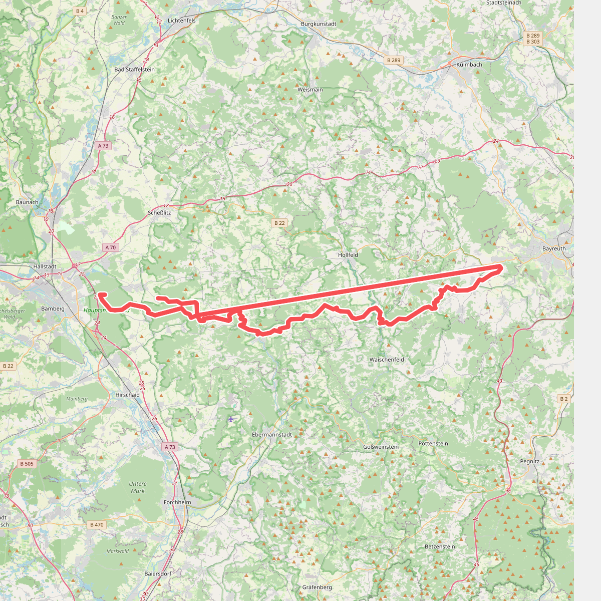
#4. Bamberg - Mistelgau (Oberjägermarterweg)
Hauptsmoor,Geisberger Forst,Heiligenstadt i. OFr.,Aufseß,Hollfeld,Plankenfels,Waischenfeld,Mistelgau,Eckersdorf,Litzendorf
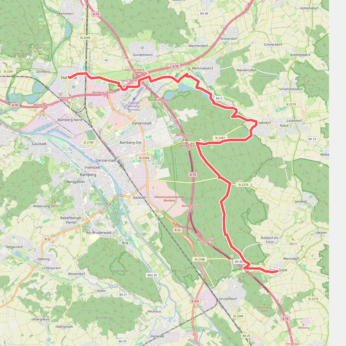
#5. Bamberger Rennsteig
Hallstadt,Bamberg,Gundelsheim,Memmelsdorf,Hauptsmoor,Litzendorf,Strullendorf
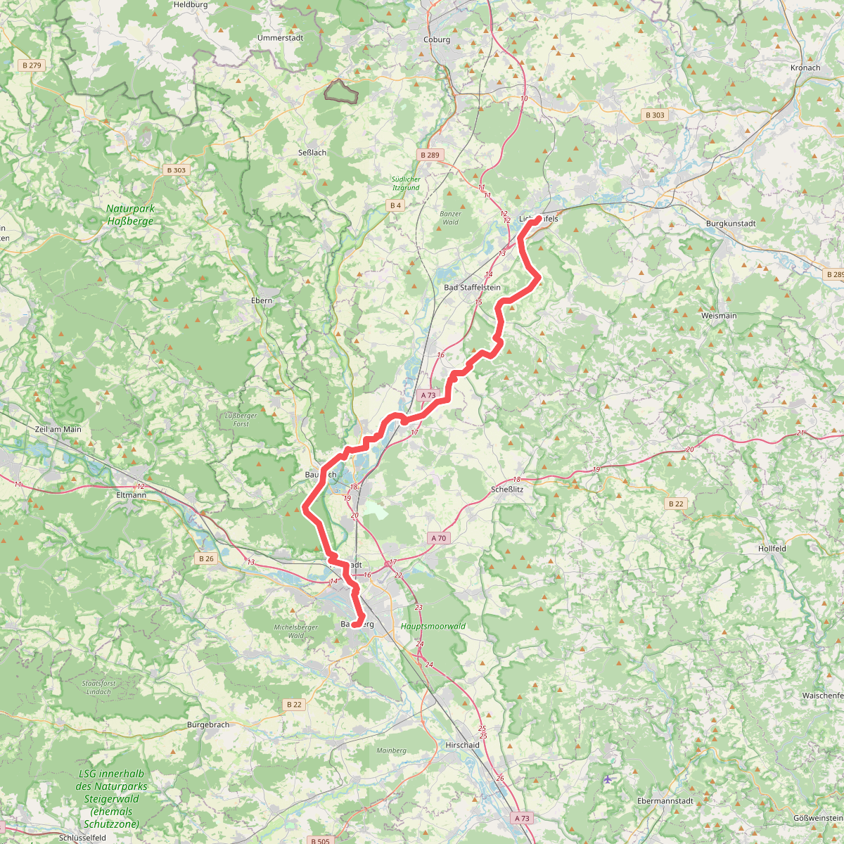
#6. Fränkischer Jakobsweg Lichtenfels-Bamberg
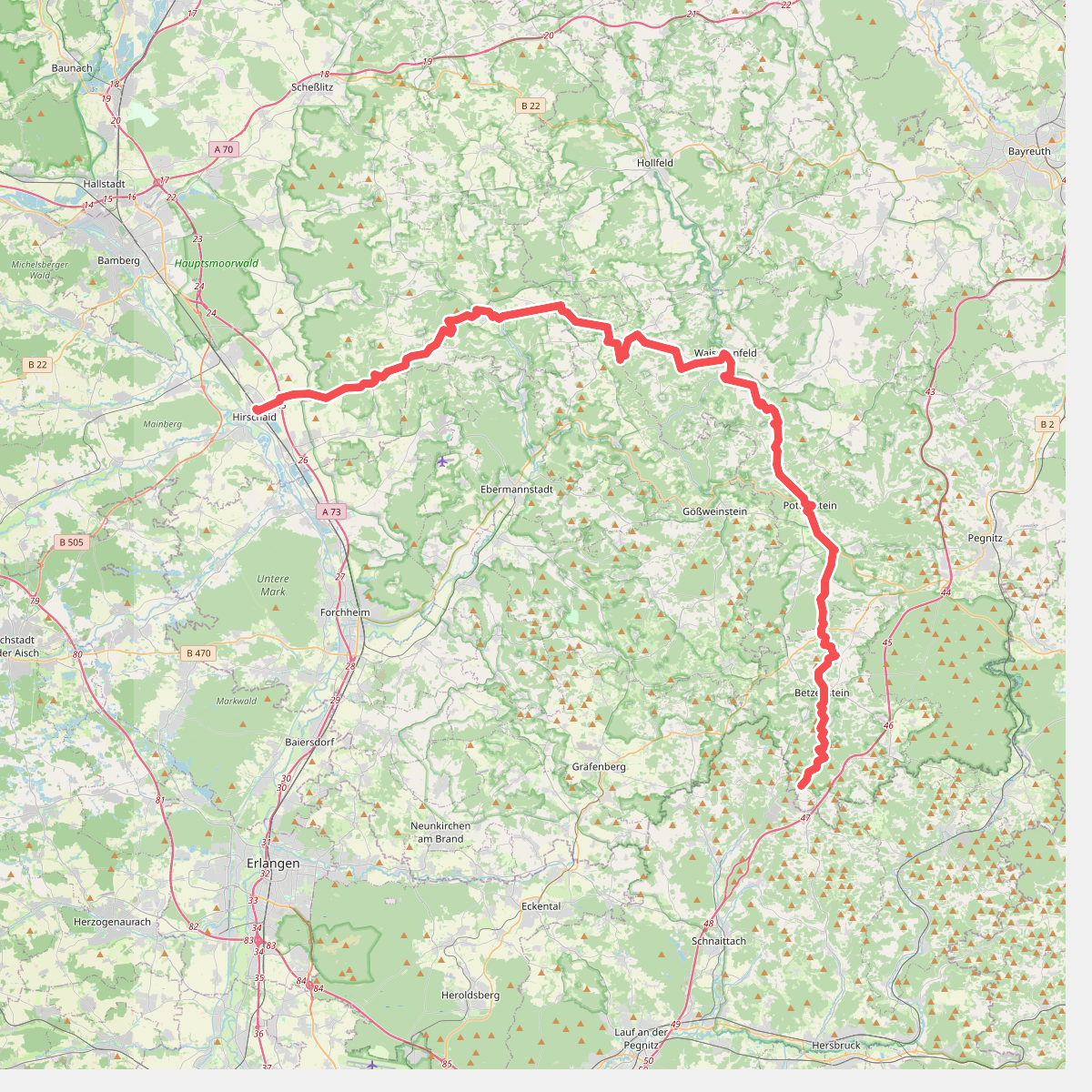
#7. Hirschaid - Spies
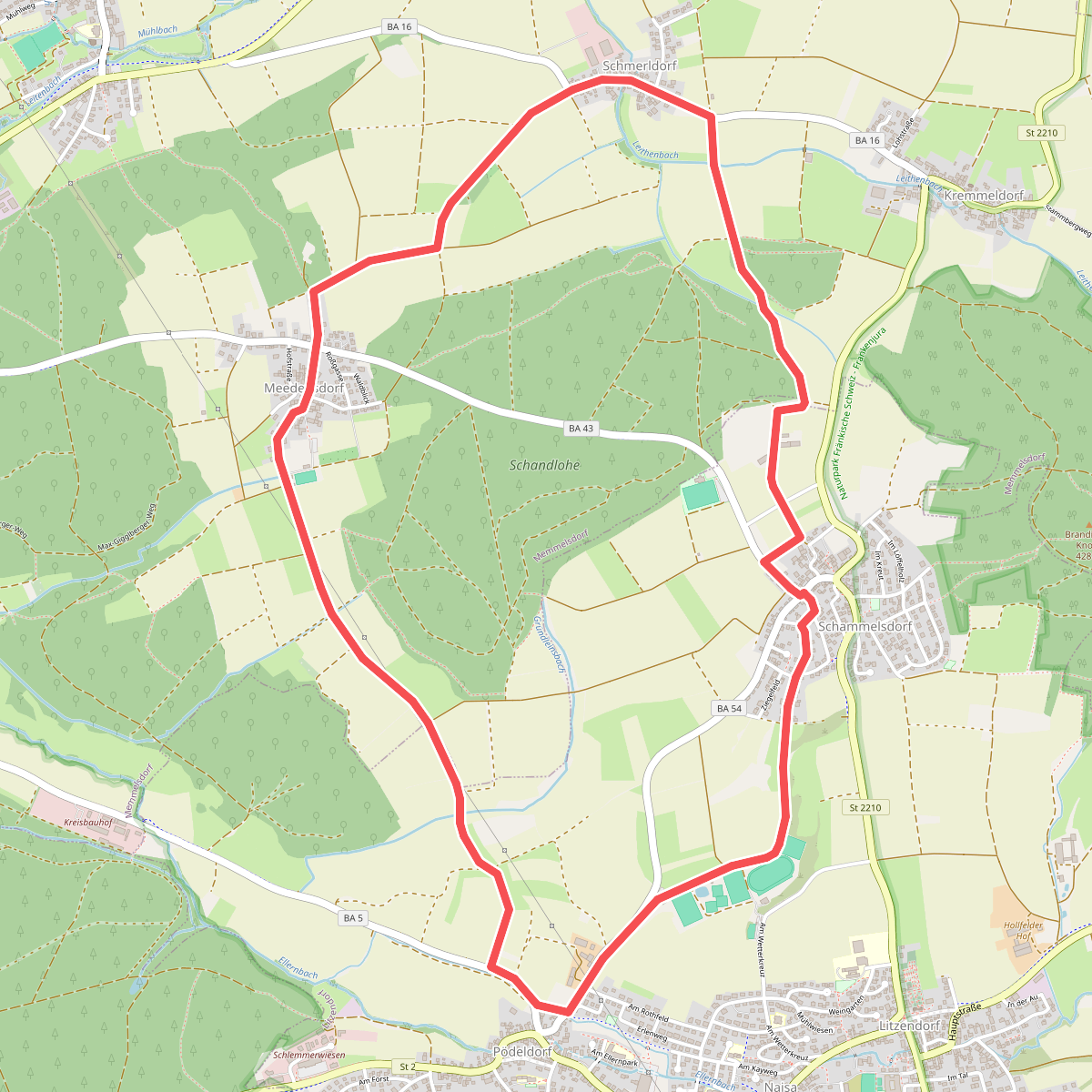
#8. Kleine Tal-Rundwanderung
Litzendorf,Memmelsdorf
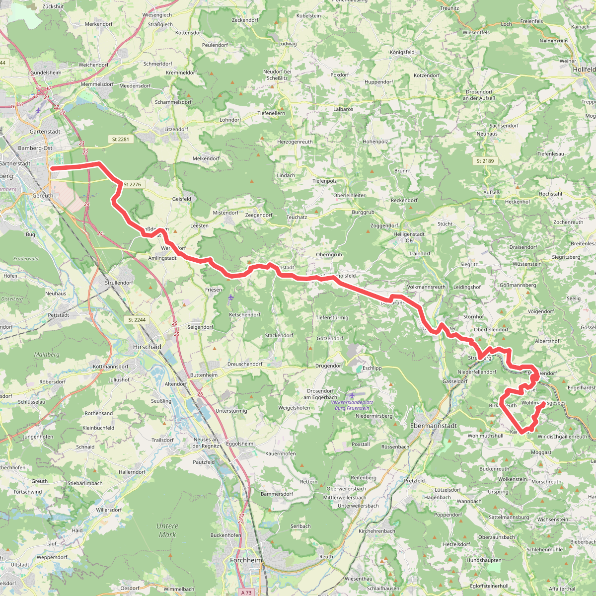
#9. Oberjägermarter
Bamberg,Hauptsmoor,Strullendorf,Eichwald,Hirschaid,Buttenheim,Heiligenstadt i. OFr.,Unterleinleiter,Wiesenttal,Ebermannstadt
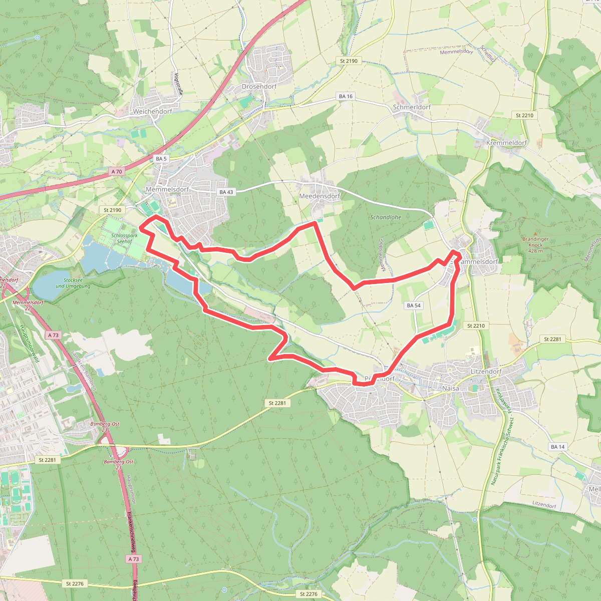
#10. Rund um Schloss Seehof
Litzendorf,Memmelsdorf,Hauptsmoor
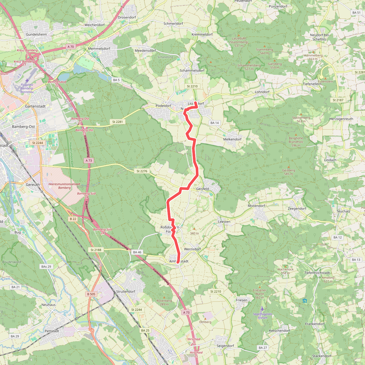
#11. Weg durch die Siedlungsgeschichte
Strullendorf,Litzendorf



