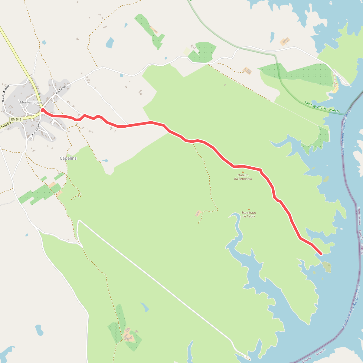
The best hiking routes in Guadiana-Juromenha
Discover the best walks in Guadiana-Juromenha. 5 routes on the map, with descriptions, photos and GPX.
Managed by ICNF
About Guadiana-Juromenha
Guadiana-Juromenha is defined by the slow-moving Guadiana River and the dry, rolling plains of the Alentejo borderland. Unlike the steep, forested river valleys found further north, this landscape consists of low schist hills, sparse holm oak woodlands, and open pastures that run directly to the water's edge. The terrain is dry and rocky, shaped by centuries of extensive grazing and the harsh Mediterranean climate that leaves the soil baked hard by July.
Read more
About Guadiana-Juromenha
Guadiana-Juromenha is defined by the slow-moving Guadiana River and the dry, rolling plains of the Alentejo borderland. Unlike the steep, forested river valleys found further north, this landscape consists of low schist hills, sparse holm oak woodlands, and open pastures that run directly to the water's edge. The terrain is dry and rocky, shaped by centuries of extensive grazing and the harsh Mediterranean climate that leaves the soil baked hard by July.
Read moreGuadiana-Juromenha is defined by the slow-moving Guadiana River and the dry, rolling plains of the Alentejo borderland. Unlike the steep, forested river valleys found further north, this landscape consists of low schist hills, sparse holm oak woodlands, and open pastures that run directly to the water's edge. The terrain is dry and rocky, shaped by centuries of extensive grazing and the harsh Mediterranean climate that leaves the soil baked hard by July.
Walking here means navigating a mix of dusty agricultural tracks, rough gravel paths, and occasional steep, stony descents toward the riverbanks. There are no boardwalks or manicured trails; the underfoot conditions require sturdy footwear to handle the loose stones and uneven clay. The vegetation is dominated by low rockrose scrub, which releases a heavy, resinous scent, and scattered olive trees that offer little shade along the exposed paths.
This area is suited for those who prefer quiet, austere landscapes over dramatic mountain passes or dense forests. The ruins of the fortress at Juromenha overlook the river, providing a stark historical anchor to a walk. While the river itself brings a strip of green reedbeds and waterbirds, the surrounding land is resolutely dry and open, offering an honest look at the rural, sun-baked border country.
Hiking routes in Guadiana-Juromenha (5)
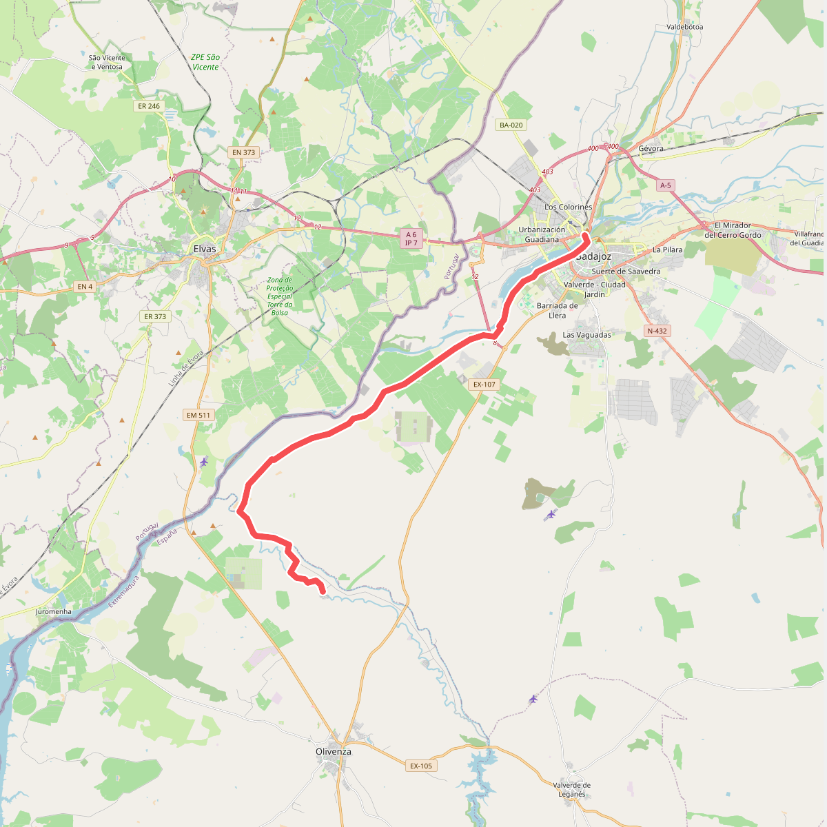
#1. Etapa 36: Badajoz - San Francisco de Olivenza
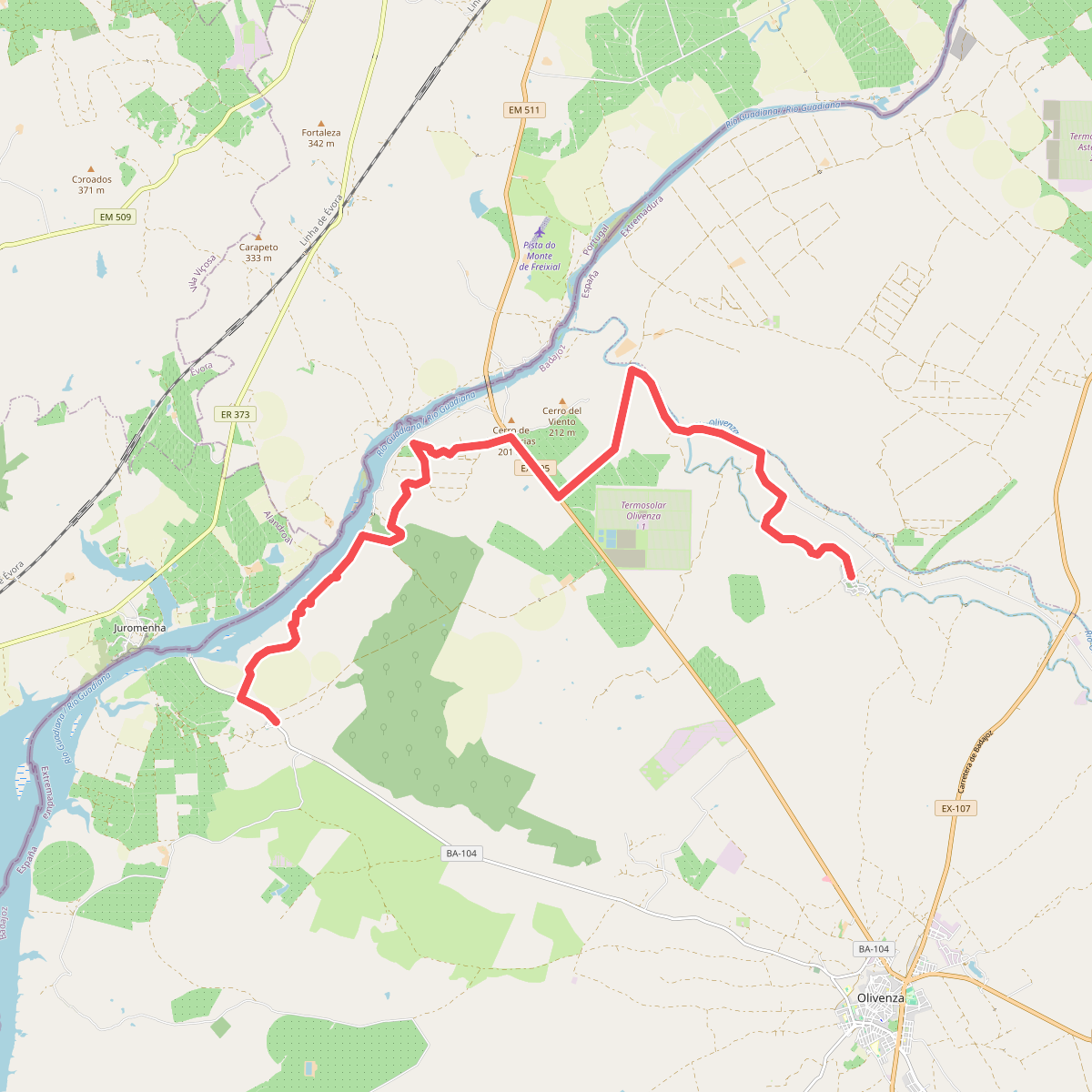
#2. Etapa 37: San Francisco de Olivenza - Villarreal
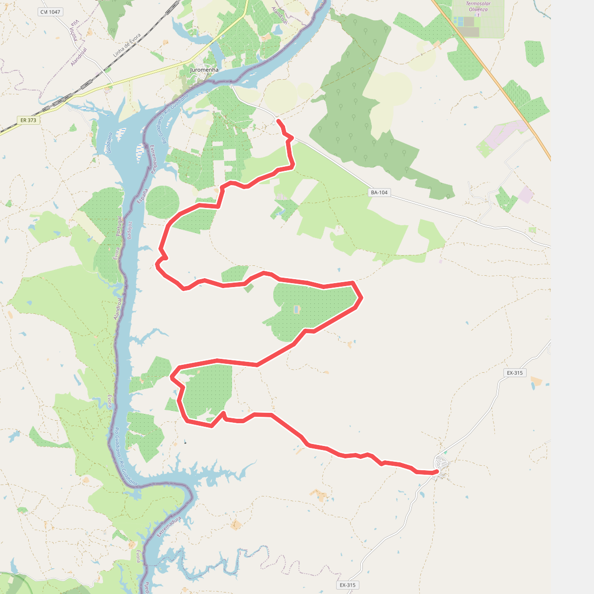
#3. Etapa 38: Villarreal - San Benito de la Contienda
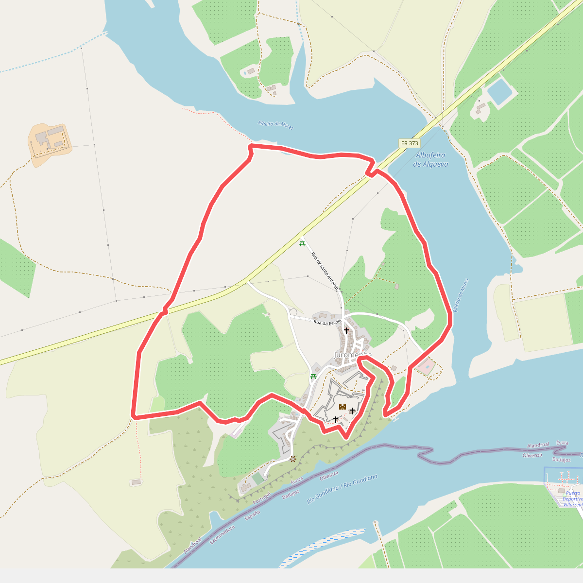
#4. Juromenha, A Sentinela do Guadiana