The best hiking routes in geschützter Landschaftsteil Rellstal und Lünerseegebiet
Discover the best walks in geschützter Landschaftsteil Rellstal und Lünerseegebiet. 6 routes on the map, with descriptions, photos and GPX.
About geschützter Landschaftsteil Rellstal und Lünerseegebiet
The geschützter Landschaftsteil Rellstal und Lünerseegebiet offers a stark contrast between a steep, forested alpine valley and a high-altitude limestone basin. In the lower Rellstal, your path follows a rushing mountain stream through dense spruce and beech woods, where the ground is a mix of damp earth, tree roots, and gravel forestry tracks. As you ascend toward the Lünersee, the trees thin out, revealing a massive natural amphitheater dominated by grey limestone cliffs and alpine pastures. This transition from sheltered valley floor to exposed high-altitude terrain is the defining feature of the reserve.
Read more
About geschützter Landschaftsteil Rellstal und Lünerseegebiet
The geschützter Landschaftsteil Rellstal und Lünerseegebiet offers a stark contrast between a steep, forested alpine valley and a high-altitude limestone basin. In the lower Rellstal, your path follows a rushing mountain stream through dense spruce and beech woods, where the ground is a mix of damp earth, tree roots, and gravel forestry tracks. As you ascend toward the Lünersee, the trees thin out, revealing a massive natural amphitheater dominated by grey limestone cliffs and alpine pastures. This transition from sheltered valley floor to exposed high-altitude terrain is the defining feature of the reserve.
Read moreThe geschützter Landschaftsteil Rellstal und Lünerseegebiet offers a stark contrast between a steep, forested alpine valley and a high-altitude limestone basin. In the lower Rellstal, your path follows a rushing mountain stream through dense spruce and beech woods, where the ground is a mix of damp earth, tree roots, and gravel forestry tracks. As you ascend toward the Lünersee, the trees thin out, revealing a massive natural amphitheater dominated by grey limestone cliffs and alpine pastures. This transition from sheltered valley floor to exposed high-altitude terrain is the defining feature of the reserve.
Underfoot, the character of the walk changes dramatically. The lower valley paths are relatively soft under forest cover, while the trails around the Lünersee itself are rocky, firm, and often carved directly into the limestone. The lake basin, a natural depression modified for hydro-power, is circled by a wide, well-graded gravel path that is easy to navigate but entirely exposed to the elements. There are no trees here to offer shade or shelter, only low alpine scrub and bare rock.
This area is not a place for gentle, flat meadow strolls; almost every route involves significant climbs or descents over rugged terrain. While the lakeside path attracts more visitors due to the cable car access, the side trails heading into the upper scree slopes and the quieter corners of the Rellstal offer a much more demanding, solitary walking experience. By late October, the higher paths around the lake often see the first persistent snow patches, contrasting sharply with the still-green larch forests in the valley below.
Hiking routes in geschützter Landschaftsteil Rellstal und Lünerseegebiet (6)
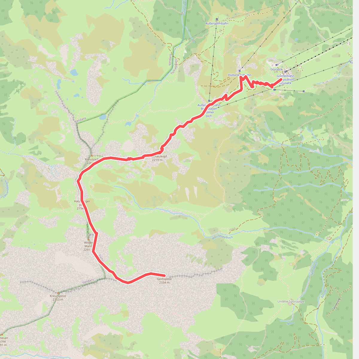
#1. Golmer Höhenweg
Tschagguns,Vandans
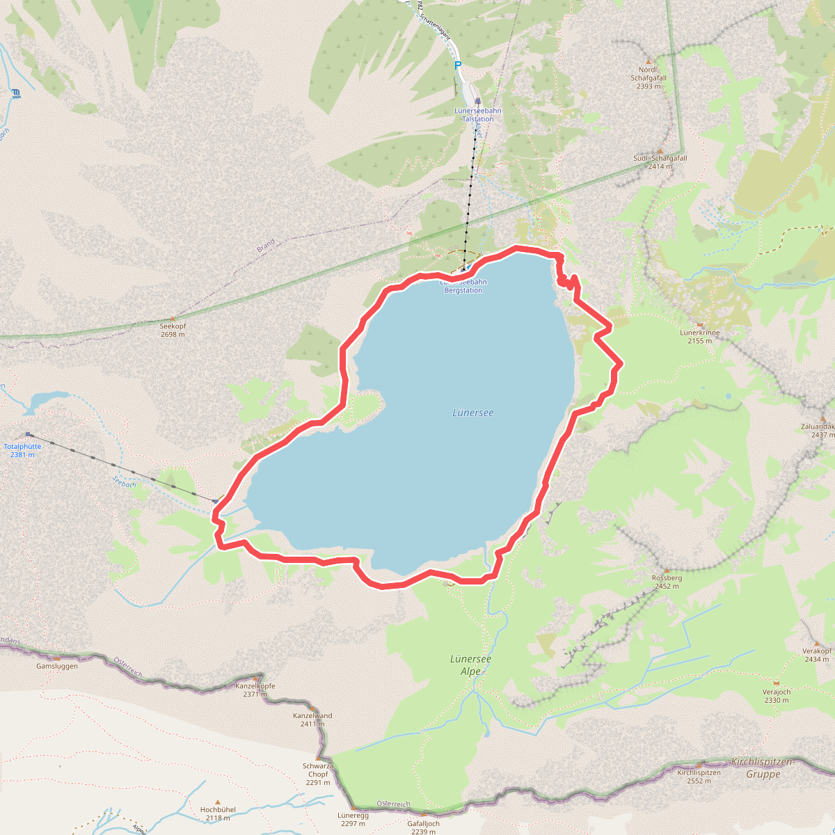
#2. Lünersee-Rundweg
Vandans
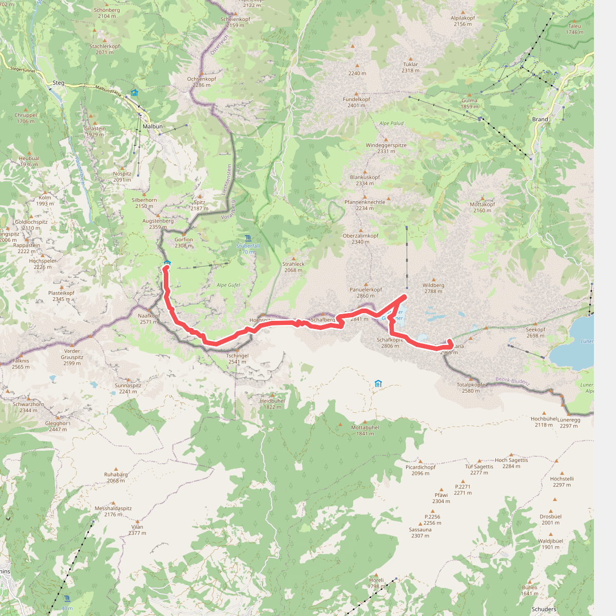
#3. Pfaelzerhuette - Schesaplana (CH)
Schaan,Nenzing,Seewis im Prättigau,Brand
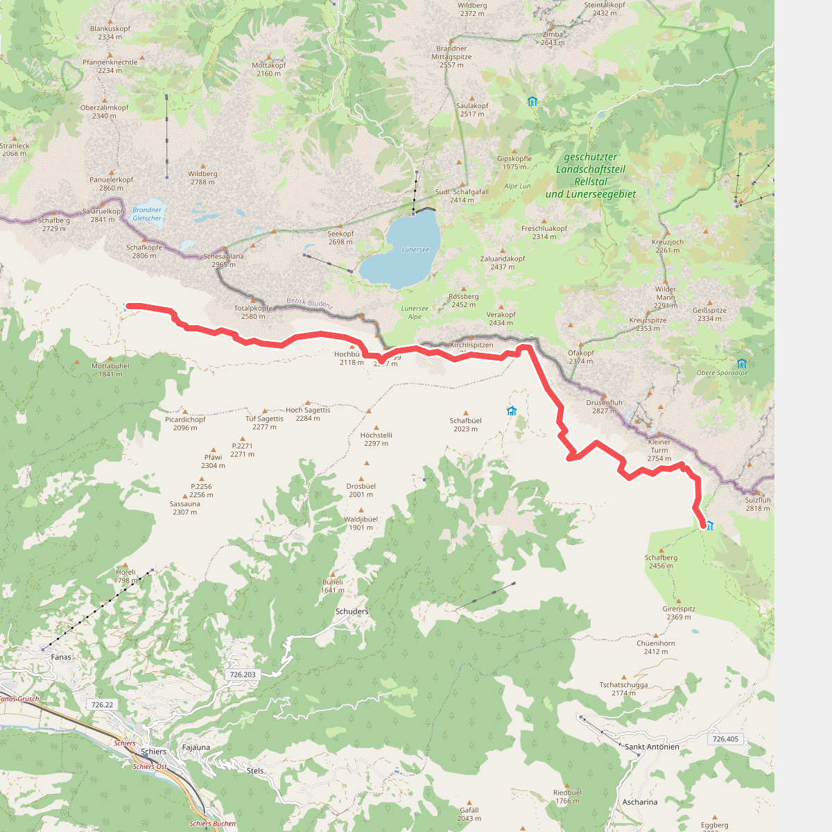
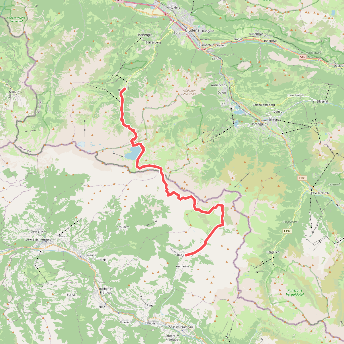
#4. Prättigauer Höhenweg - Etappe 2
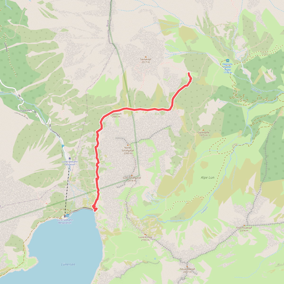
#5. Saulajochsteig
Vandans