The best hiking routes in Gåsvatnan landskapsvernområde / Gássajávre duobddáksuoddjimguovllo
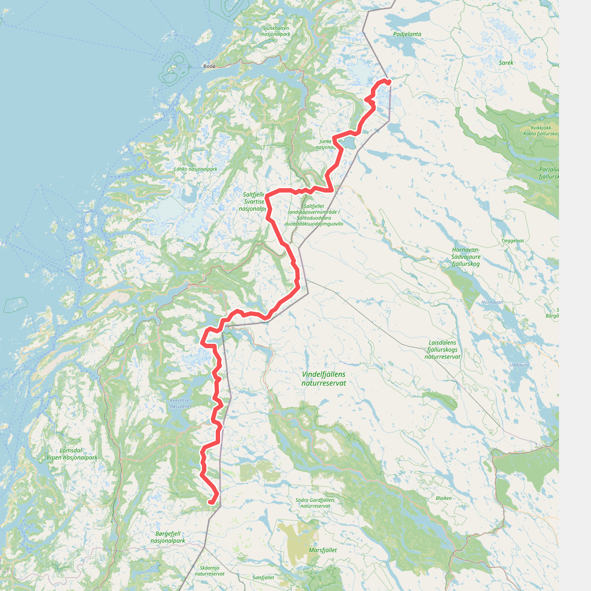
Discover the best walks in Gåsvatnan landskapsvernområde / Gássajávre duobddáksuoddjimguovllo. 1 routes on the map, with descriptions, photos and GPX.
Managed by Midtre Nordland nasjonalparkstyre
About Gåsvatnan landskapsvernområde / Gássajávre duobddáksuoddjimguovllo
Gåsvatnan landskapsvernområde / Gássajávre duobddáksuoddjimguovllo offers a walking experience defined by a wide, shallow mountain basin rather than the jagged peaks found in other parts of Nordland. The landscape is characterized by a network of interconnected lakes, wet mires, and low, undulating ridges. Walkers will find that the terrain lacks marked, constructed trails, requiring navigation skills across open ground where the vegetation transitions from damp willow scrub to drier, lichen-clad heath on the higher mounds.
Read more
About Gåsvatnan landskapsvernområde / Gássajávre duobddáksuoddjimguovllo
Gåsvatnan landskapsvernområde / Gássajávre duobddáksuoddjimguovllo offers a walking experience defined by a wide, shallow mountain basin rather than the jagged peaks found in other parts of Nordland. The landscape is characterized by a network of interconnected lakes, wet mires, and low, undulating ridges. Walkers will find that the terrain lacks marked, constructed trails, requiring navigation skills across open ground where the vegetation transitions from damp willow scrub to drier, lichen-clad heath on the higher mounds.
Read moreGåsvatnan landskapsvernområde / Gássajávre duobddáksuoddjimguovllo offers a walking experience defined by a wide, shallow mountain basin rather than the jagged peaks found in other parts of Nordland. The landscape is characterized by a network of interconnected lakes, wet mires, and low, undulating ridges. Walkers will find that the terrain lacks marked, constructed trails, requiring navigation skills across open ground where the vegetation transitions from damp willow scrub to drier, lichen-clad heath on the higher mounds.
Underfoot, the ground varies between soft peat, boggy depressions, and sections of loose moraine clay. There are no boardwalks or bridges over the smaller streams, meaning walkers must select their own crossing points based on the water levels. The low-lying vegetation allows for long-distance route planning by sight, though the lack of distinct landmarks means a map and compass are essential for staying on course.
In July and August, the dwarf birch and heather communities are fully visible, making it easier to identify the firmer ridges that offer the most stable footing. This protected area is suited for those who prefer self-reliant route-finding across trackless, marshy plateau country rather than following established mountain paths.