

The best hiking routes in FFH Muldetal bei Aue (Teilfläche 1: Muldetal von Wilkau-Hasslau bis Aue)
Discover the best walks in FFH Muldetal bei Aue (Teilfläche 1: Muldetal von Wilkau-Hasslau bis Aue). 17 routes on the map, with descriptions, photos and GPX.
About FFH Muldetal bei Aue (Teilfläche 1: Muldetal von Wilkau-Hasslau bis Aue)
FFH Muldetal bei Aue (Teilfläche 1: Muldetal von Wilkau-Hasslau bis Aue) covers a steep, forested river valley shaped by the Zwickauer Mulde. Unlike flatter agricultural plains nearby, this area is defined by its sharp granite outcrops, narrow riverside paths, and dense beech and oak forests clinging to the valley slopes. The landscape is a direct result of the river cutting deep into the bedrock, creating a sheltered, humid microclimate where mosses and ferns thrive on the damp rock faces.
Read more
About FFH Muldetal bei Aue (Teilfläche 1: Muldetal von Wilkau-Hasslau bis Aue)
FFH Muldetal bei Aue (Teilfläche 1: Muldetal von Wilkau-Hasslau bis Aue) covers a steep, forested river valley shaped by the Zwickauer Mulde. Unlike flatter agricultural plains nearby, this area is defined by its sharp granite outcrops, narrow riverside paths, and dense beech and oak forests clinging to the valley slopes. The landscape is a direct result of the river cutting deep into the bedrock, creating a sheltered, humid microclimate where mosses and ferns thrive on the damp rock faces.
Read moreFFH Muldetal bei Aue (Teilfläche 1: Muldetal von Wilkau-Hasslau bis Aue) covers a steep, forested river valley shaped by the Zwickauer Mulde. Unlike flatter agricultural plains nearby, this area is defined by its sharp granite outcrops, narrow riverside paths, and dense beech and oak forests clinging to the valley slopes. The landscape is a direct result of the river cutting deep into the bedrock, creating a sheltered, humid microclimate where mosses and ferns thrive on the damp rock faces.
Underfoot, walkers will find a mix of packed dirt tracks, rocky trails with exposed tree roots, and occasional paved sections where the path nears old industrial remnants. The terrain requires steady footing due to the uneven, sloping ground, but it lacks the high, open summits of the nearby Ore Mountains. Views are mostly contained within the tree canopy, focusing on the rushing water and the rocky riverbed rather than wide horizons.
In May, the forest floor is covered in fresh green foliage before the canopy closes completely. The valley is generally quiet, though sections closer to the towns of Wilkau-Hasslau and Aue see more regular foot traffic from local walkers.
Hiking routes in FFH Muldetal bei Aue (Teilfläche 1: Muldetal von Wilkau-Hasslau bis Aue) (17)
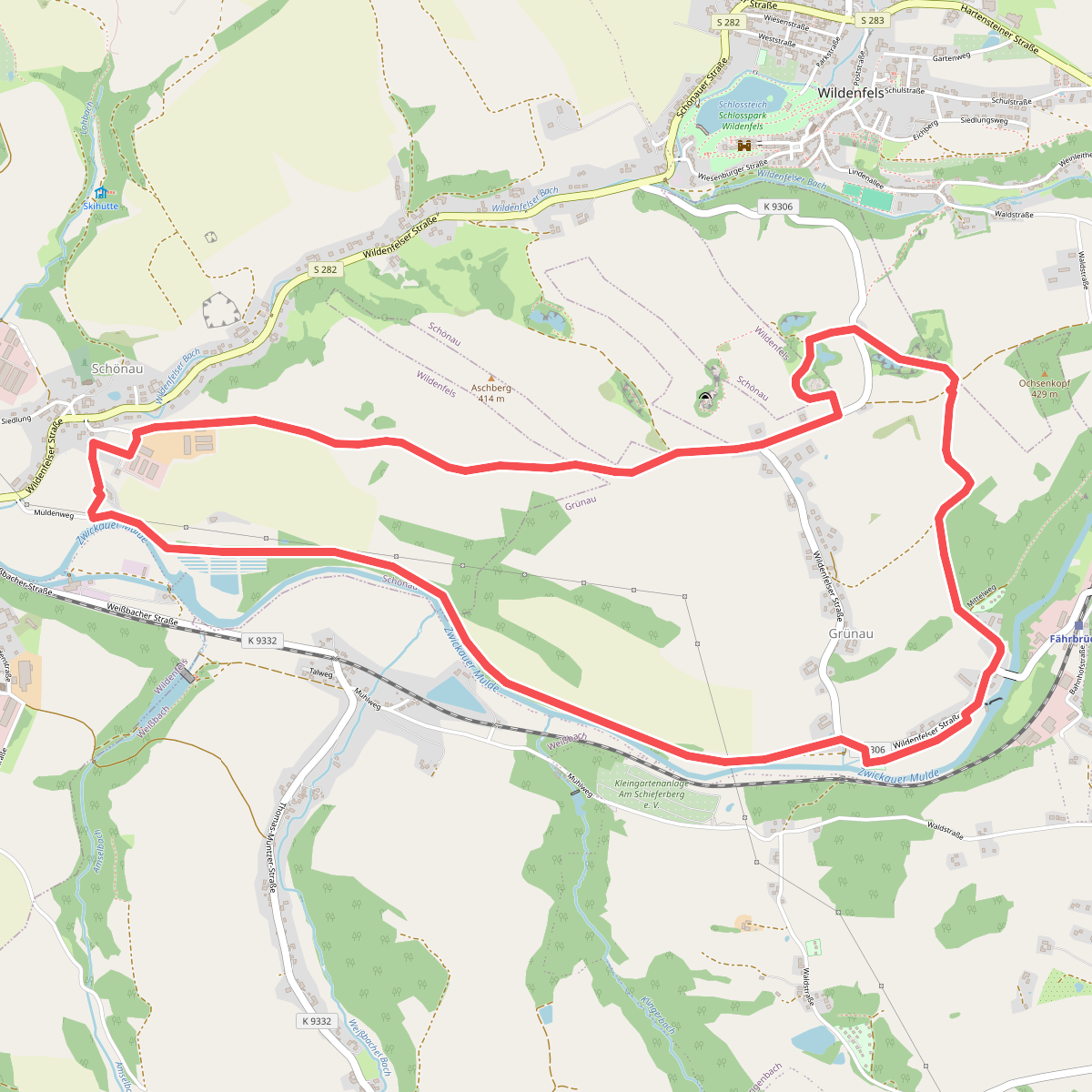
#1. Erlebnispfad „Wildenfelser Zwischengebirge“
Langenweißbach,Wildenfels
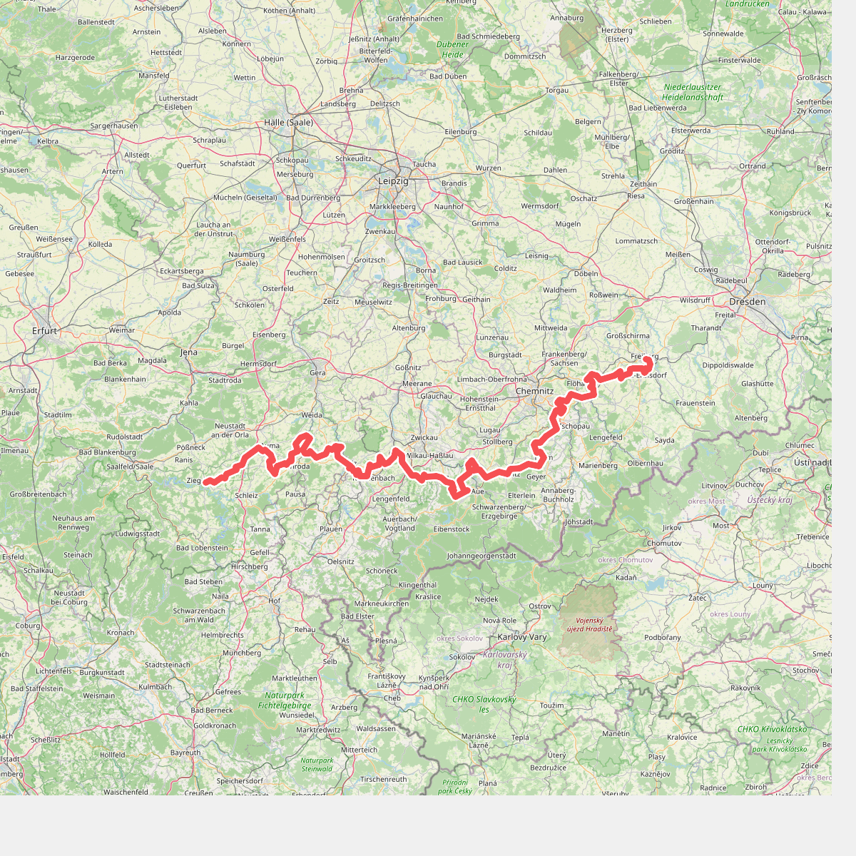
#2. Fernwanderweg Ostsee–Saaletalsperren (Abschnitt Freiberg – Ziegenrück)
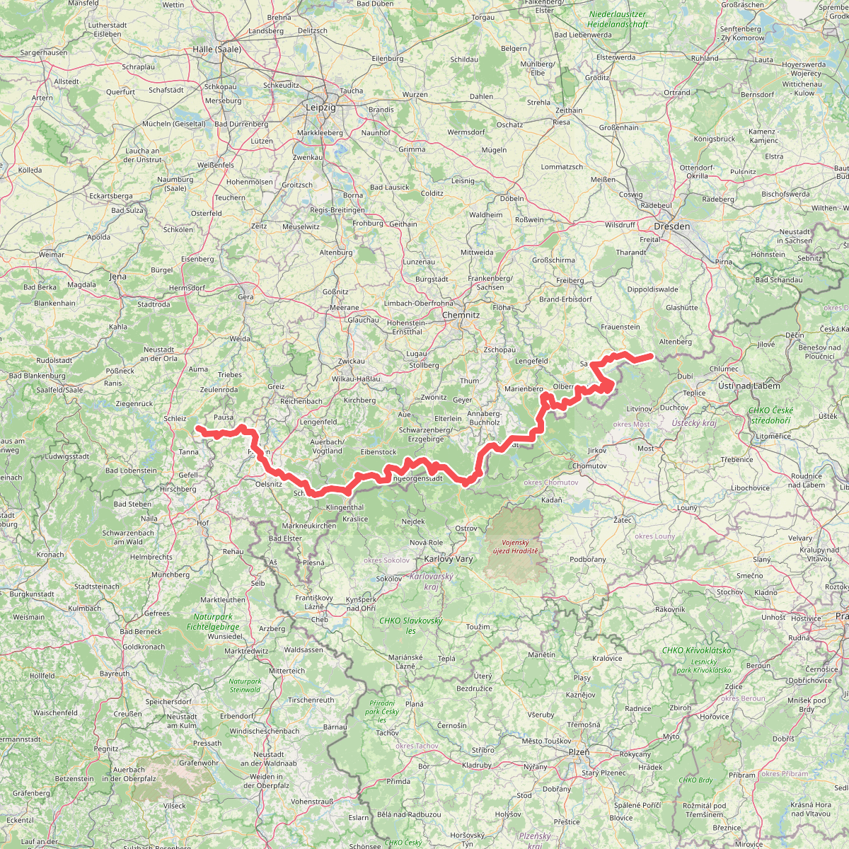
#3. Fernwanderweg Zittau – Wernigerode (Sachsen West)
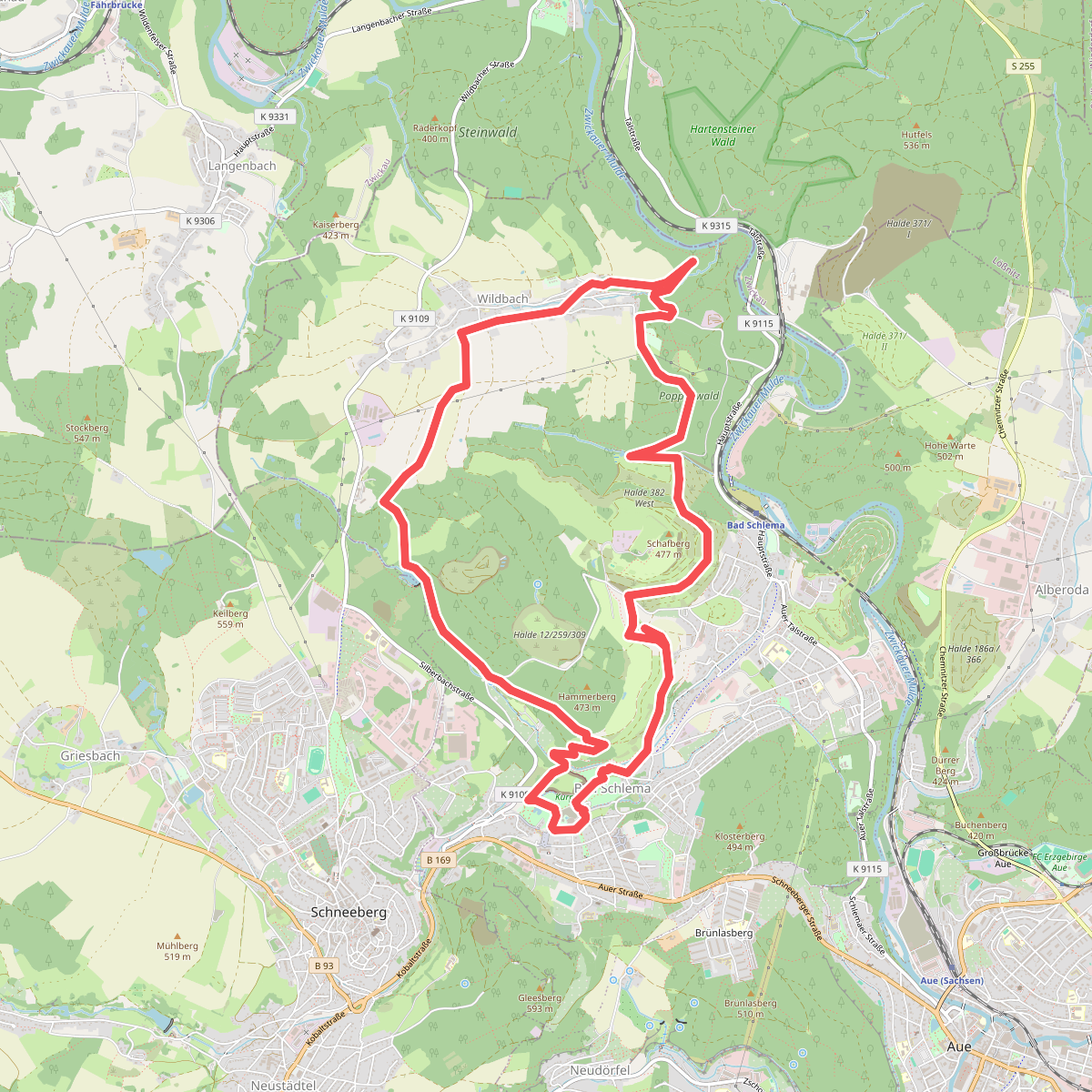
#4. Isenburgschleife Bad Schlema - Wildbach
Aue-Bad Schlema
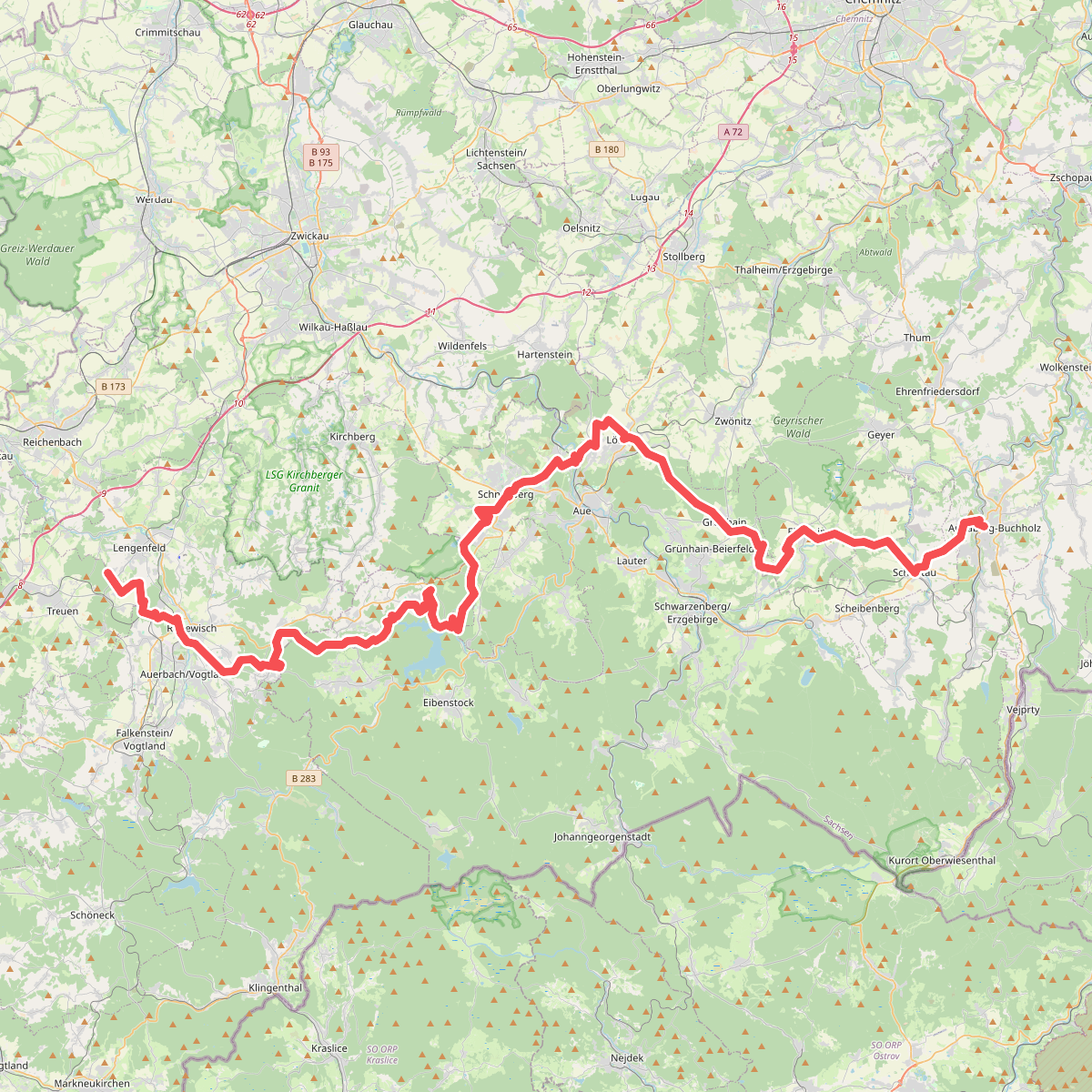
#5. Jakobsweg Silberberg (Annaberg-Eich)
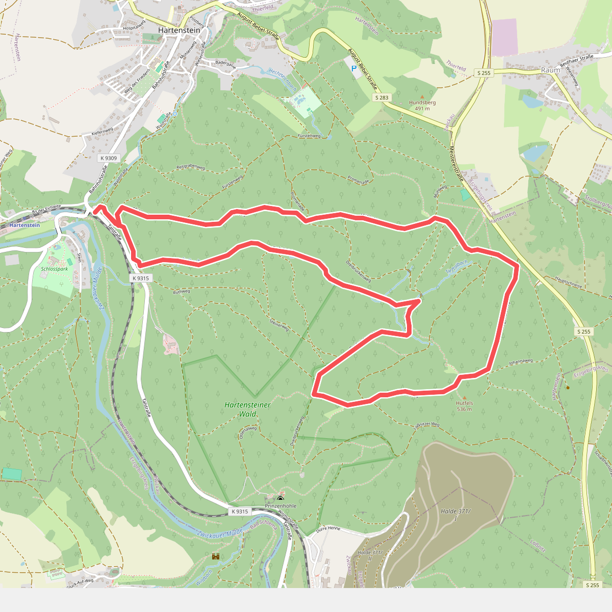
#6. Rundweg
Hartenstein
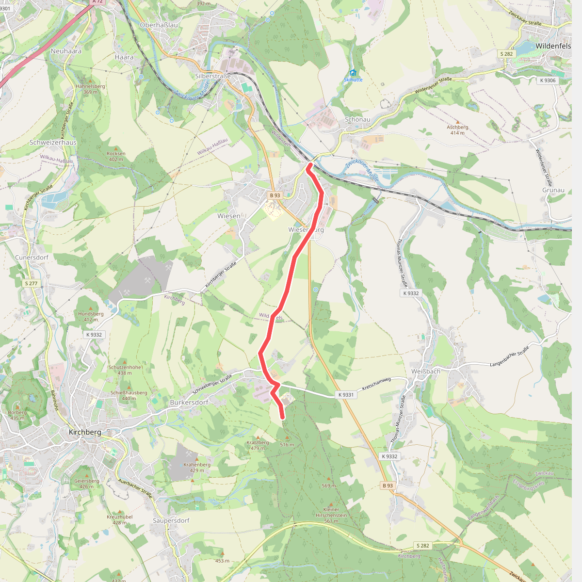
#7. Über Herrschaftsgrenzen hinweg
Kirchberg,Wildenfels
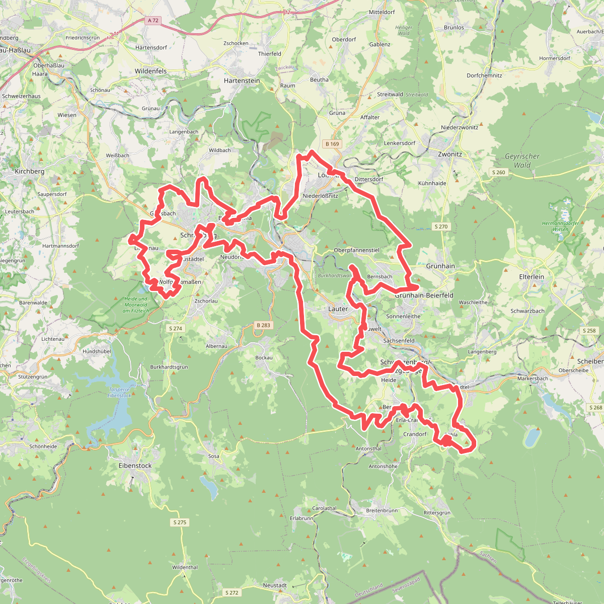
#8. W@nderbarer Silberberg
Schneeberg,Aue-Bad Schlema,Lauter-Bernsbach,Schwarzenberg/Erzgebirge,Breitenbrunn/Erzgebirge,Grünhain-Beierfeld,Lößnitz,Hartmannsdorf bei Kirchberg
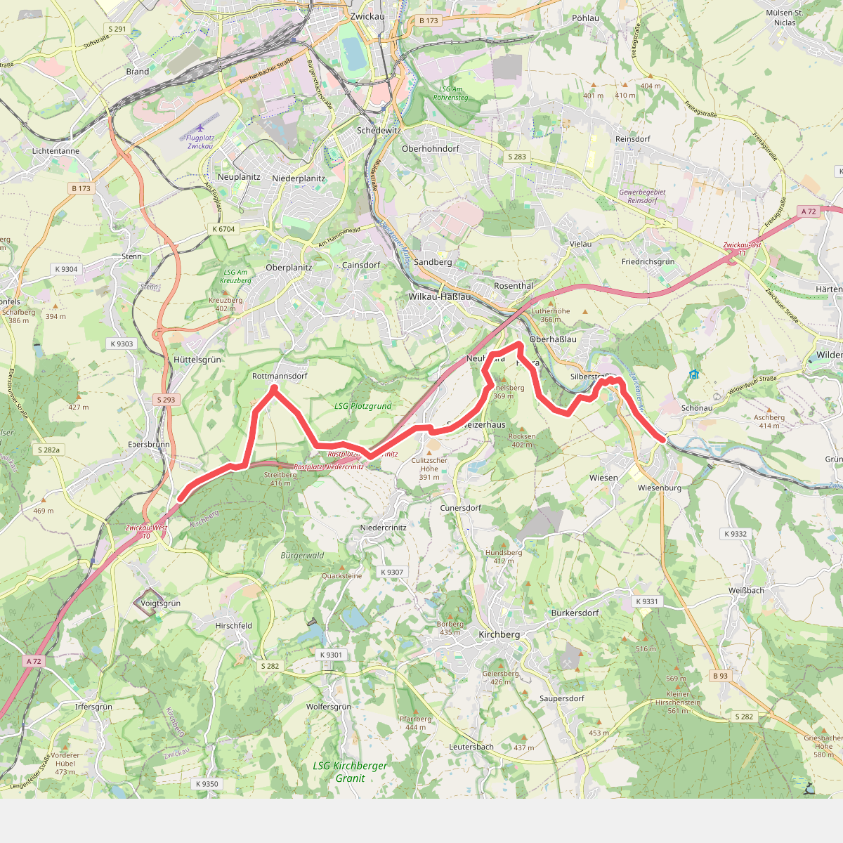
#9. Wanderweg Waldhaus Ebersbrunn-Rottmannsdorf-Culitzsch-Silberstraße-Wiesenburg
Lichtentanne,Zwickau,Wilkau-Haßlau,Wildenfels
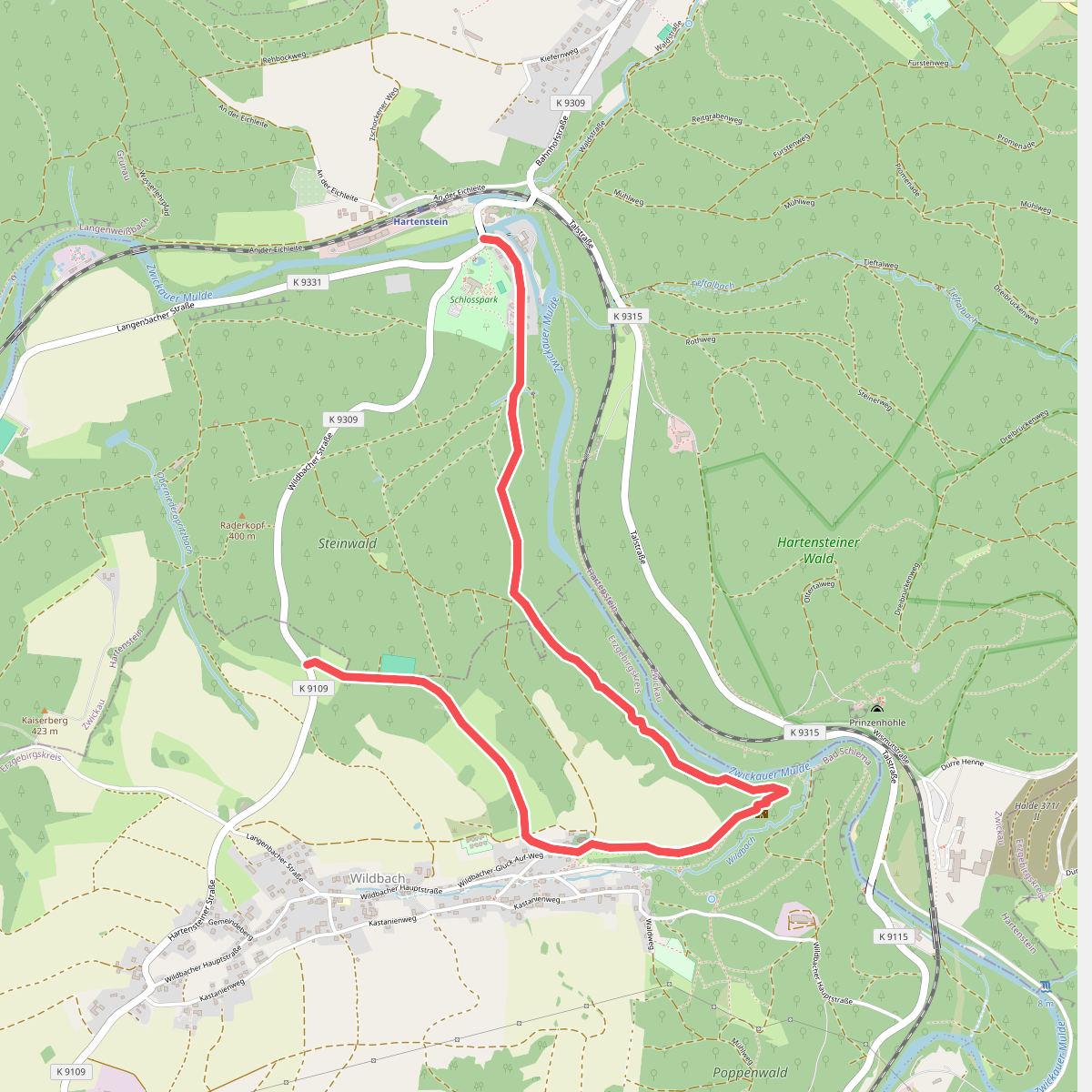
#10. Wildbach-Hartenstein
Hartenstein,Aue-Bad Schlema
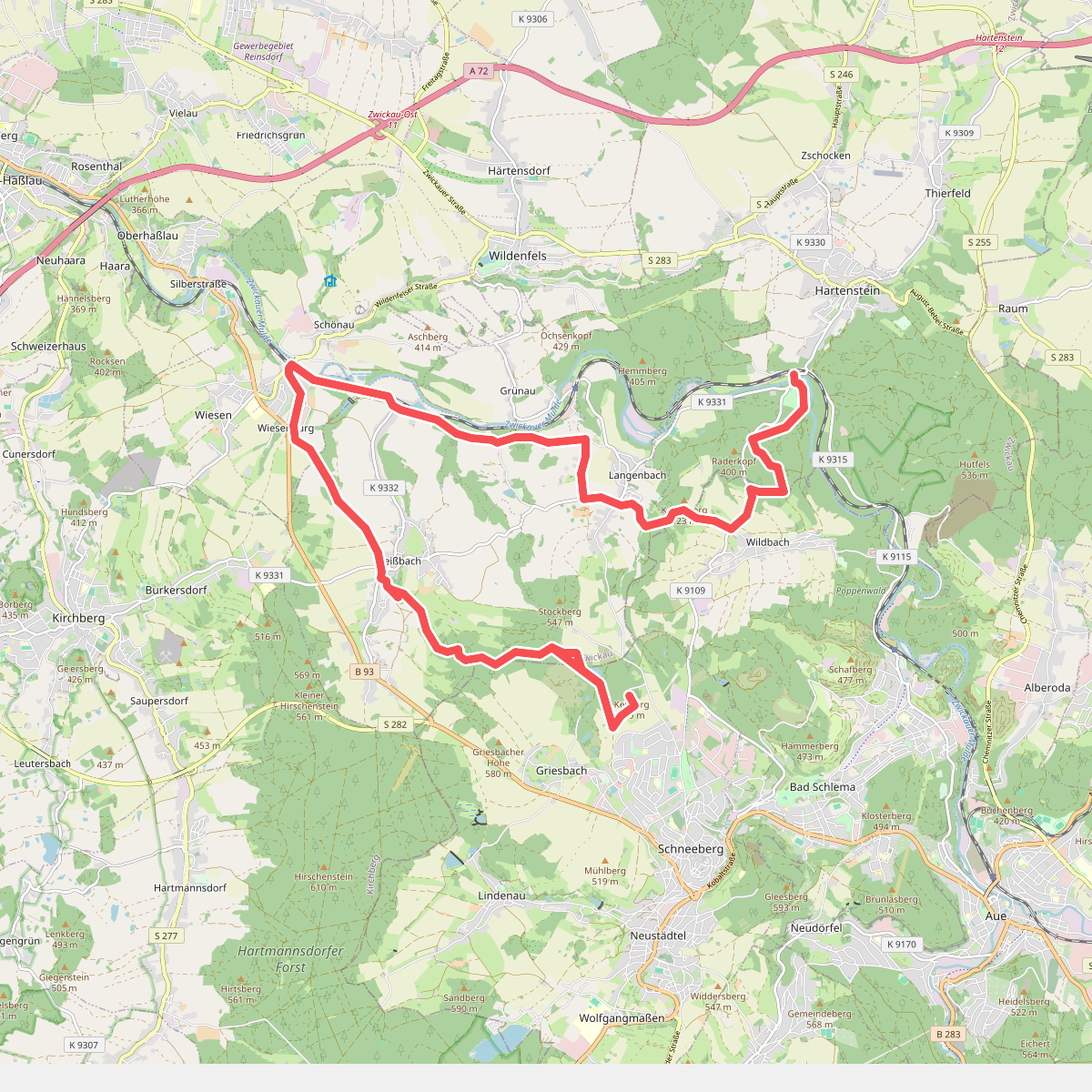
#11. Ww. Burg Stein - Wiesenburg - Keilberg (gelb)
Schneeberg,Langenweißbach,Wildenfels,Hartenstein,Aue-Bad Schlema
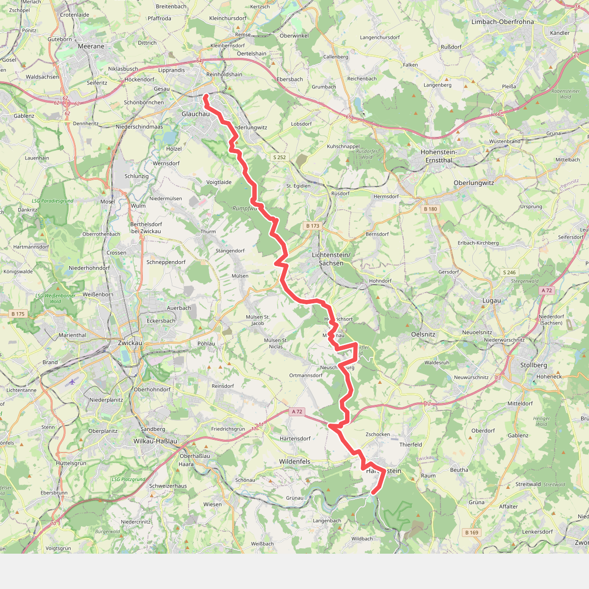
#12. Ww Glauchau-Hartenstein
Glauchau,Lichtenstein/Sachsen,Mülsen,Oelsnitz/Erzgeb.,Hartenstein



