

The best hiking routes in Εθνικός Δρυμός Σαμαριάς
Discover the best walks in Εθνικός Δρυμός Σαμαριάς. 16 routes on the map, with descriptions, photos and GPX.
Managed by Δρυμός Λευκών Ορέων
About Εθνικός Δρυμός Σαμαριάς
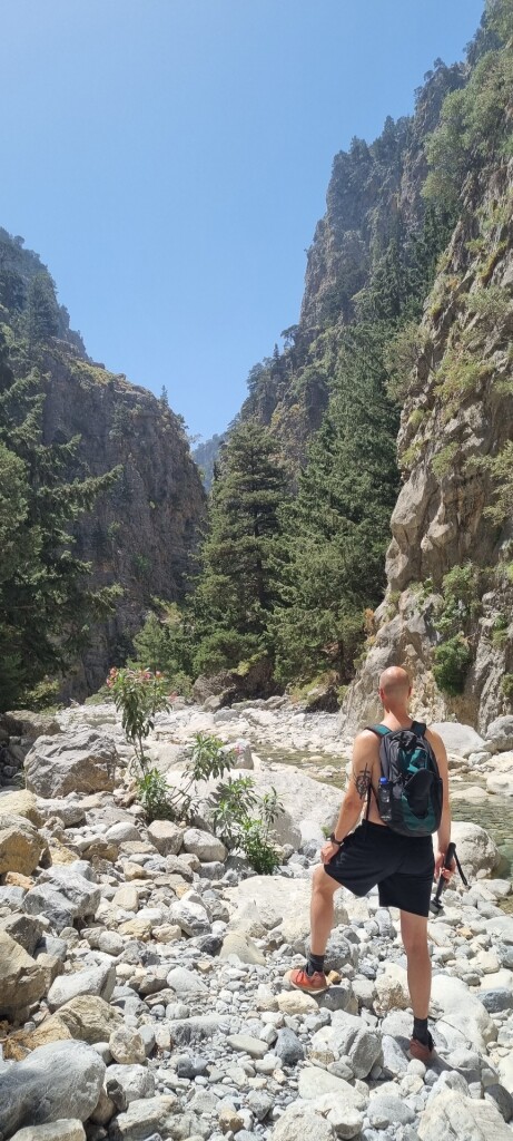
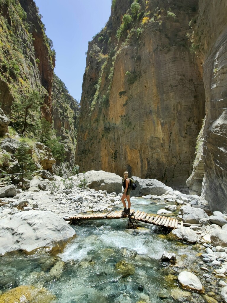
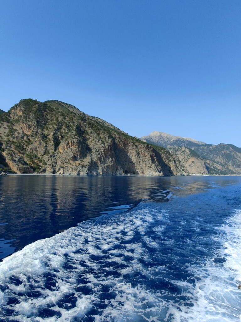
The Εθνικός Δρυμός Σαμαριάς is a deep limestone gorge cutting through the Lefka Ori range in western Crete. The main trail descends steeply from the high-altitude Omalos plateau down to the Libyan Sea, taking walkers through a dramatic vertical transition. In the upper sections, the path is a steep, stony staircase shaded by ancient cypress and pine trees. As you descend, the canyon walls narrow significantly, eventually forming the sheer rock passages known as the Gates, where the cliffs rise hundreds of meters overhead just a few steps apart.
Read more
About Εθνικός Δρυμός Σαμαριάς
The Εθνικός Δρυμός Σαμαριάς is a deep limestone gorge cutting through the Lefka Ori range in western Crete. The main trail descends steeply from the high-altitude Omalos plateau down to the Libyan Sea, taking walkers through a dramatic vertical transition. In the upper sections, the path is a steep, stony staircase shaded by ancient cypress and pine trees. As you descend, the canyon walls narrow significantly, eventually forming the sheer rock passages known as the Gates, where the cliffs rise hundreds of meters overhead just a few steps apart.
Read moreThe Εθνικός Δρυμός Σαμαριάς is a deep limestone gorge cutting through the Lefka Ori range in western Crete. The main trail descends steeply from the high-altitude Omalos plateau down to the Libyan Sea, taking walkers through a dramatic vertical transition. In the upper sections, the path is a steep, stony staircase shaded by ancient cypress and pine trees. As you descend, the canyon walls narrow significantly, eventually forming the sheer rock passages known as the Gates, where the cliffs rise hundreds of meters overhead just a few steps apart.
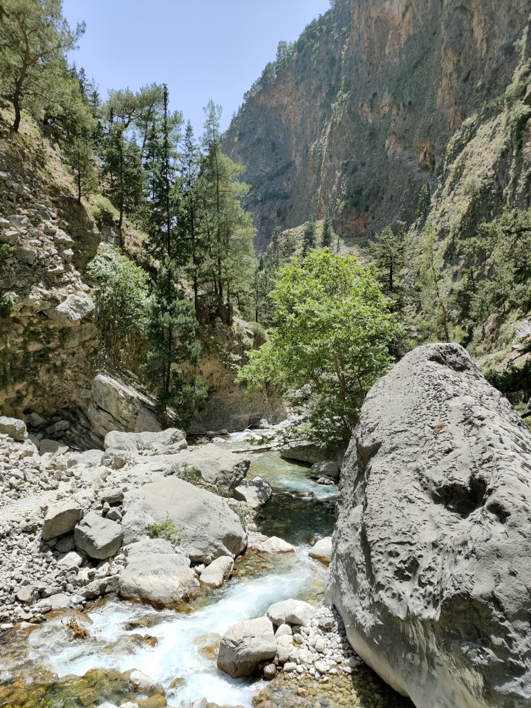
Underfoot, the terrain is dominated by loose limestone scree, river cobbles, and dry, rocky creek beds that require careful foot placement. The landscape is shaped by winter torrents, which leave a floor of polished white boulders and gravel that you must navigate for most of the route. Water flows through the gorge floor in spring, but by mid-summer, the lower riverbed is dry, and the vegetation is limited to hardy oleander bushes and cliff-dwelling herbs.
This is a demanding downhill walk of sixteen kilometers, not a casual stroll or a circular forest trail. There are no grassy meadows or gentle dirt paths here, only rugged stone and sheer rock faces. The route is highly directional, requiring a full-day commitment to reach the coastal village at the end, as there are no intermediate exit points once you enter the deep canyon.
Hiking routes in Εθνικός Δρυμός Σαμαριάς (16)
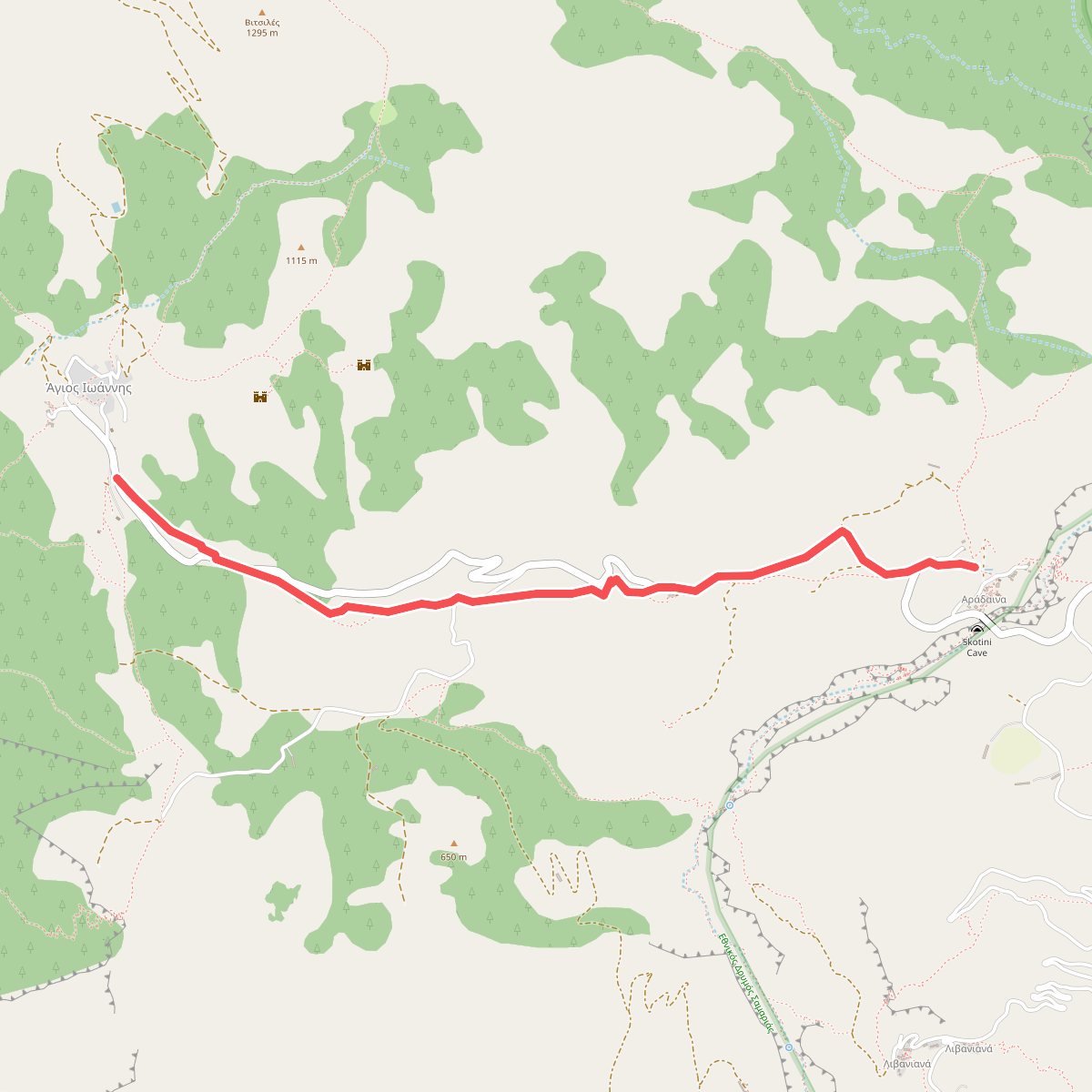
#1. Agios Ioannis-Aradena
Δήμος Σφακίων
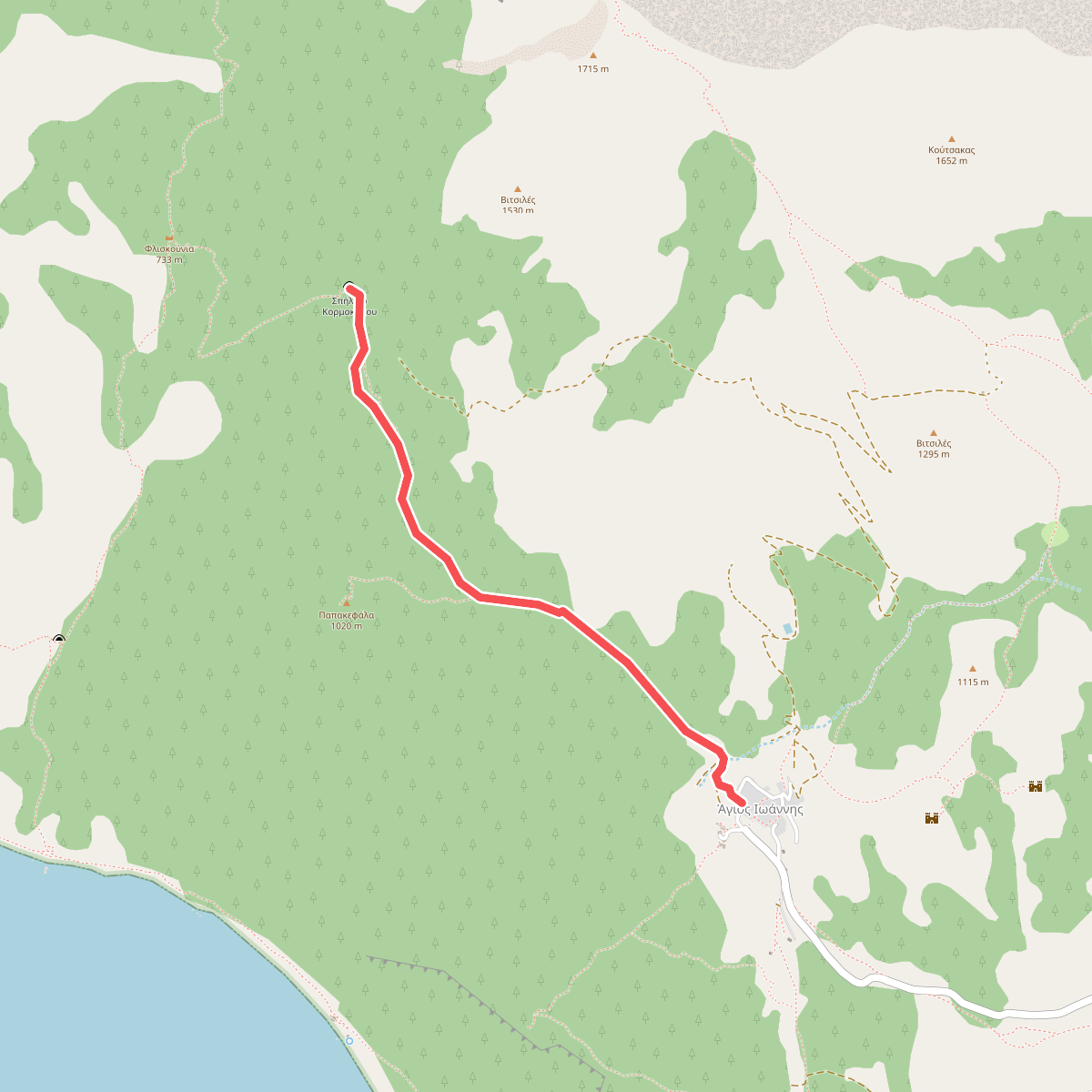
#2. Agios Ioannis-Kormokopos Cave
Δήμος Σφακίων
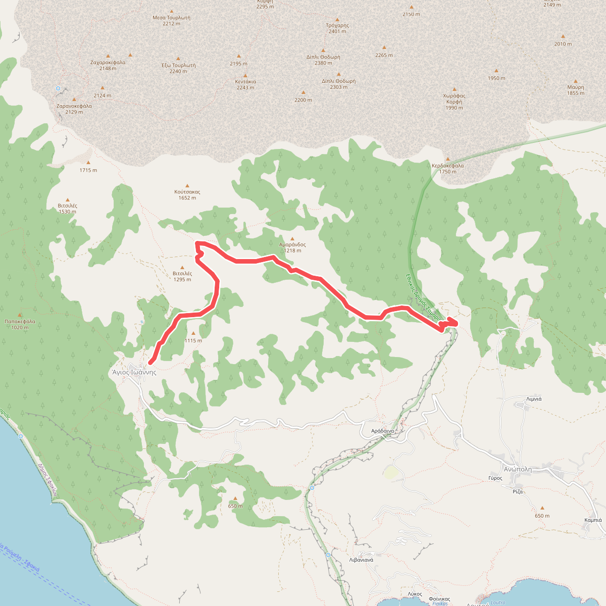
#3. Agios Ioannis-Kroussia-Anopoli
Δήμος Σφακίων
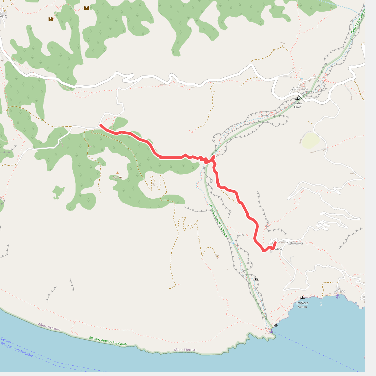
#4. Agios Ioannis-Livaniana
Δήμος Σφακίων
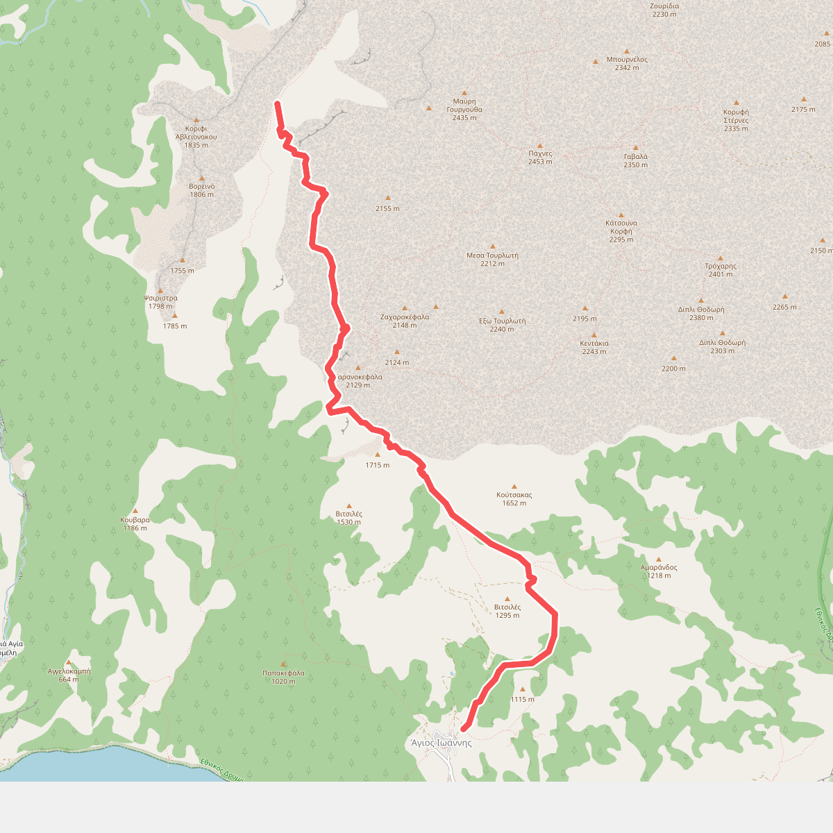
#5. Agios Ioannis-Potamos
Δήμος Σφακίων
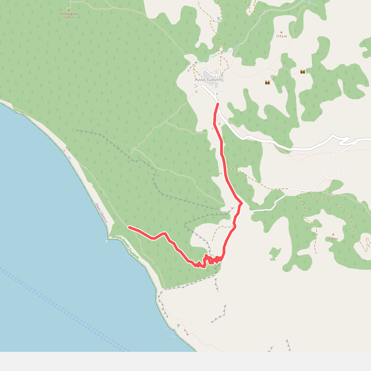
#6. Agios Ioannis-Sellouda-Agios Pavlos
Δήμος Σφακίων
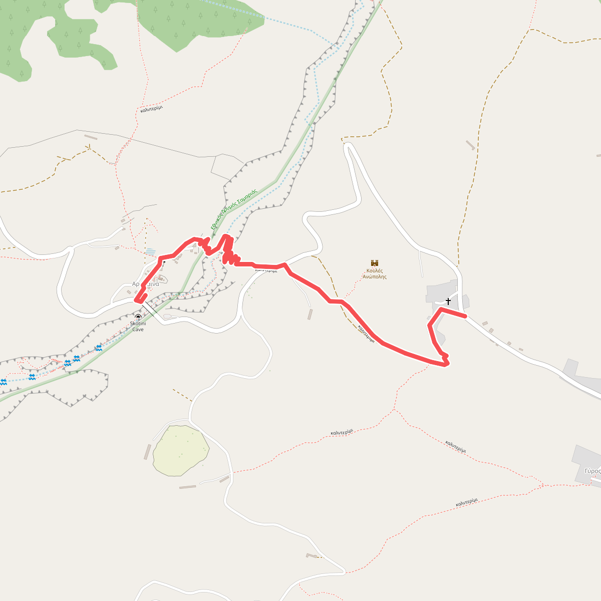
#7. Anopoli-Aradena
Δήμος Σφακίων
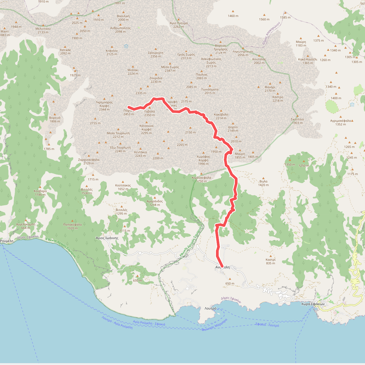
#8. Anopoli-Pachnes
Δήμος Σφακίων
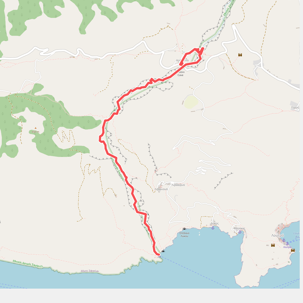
#9. Aradena-Marmara Bay
Δήμος Σφακίων
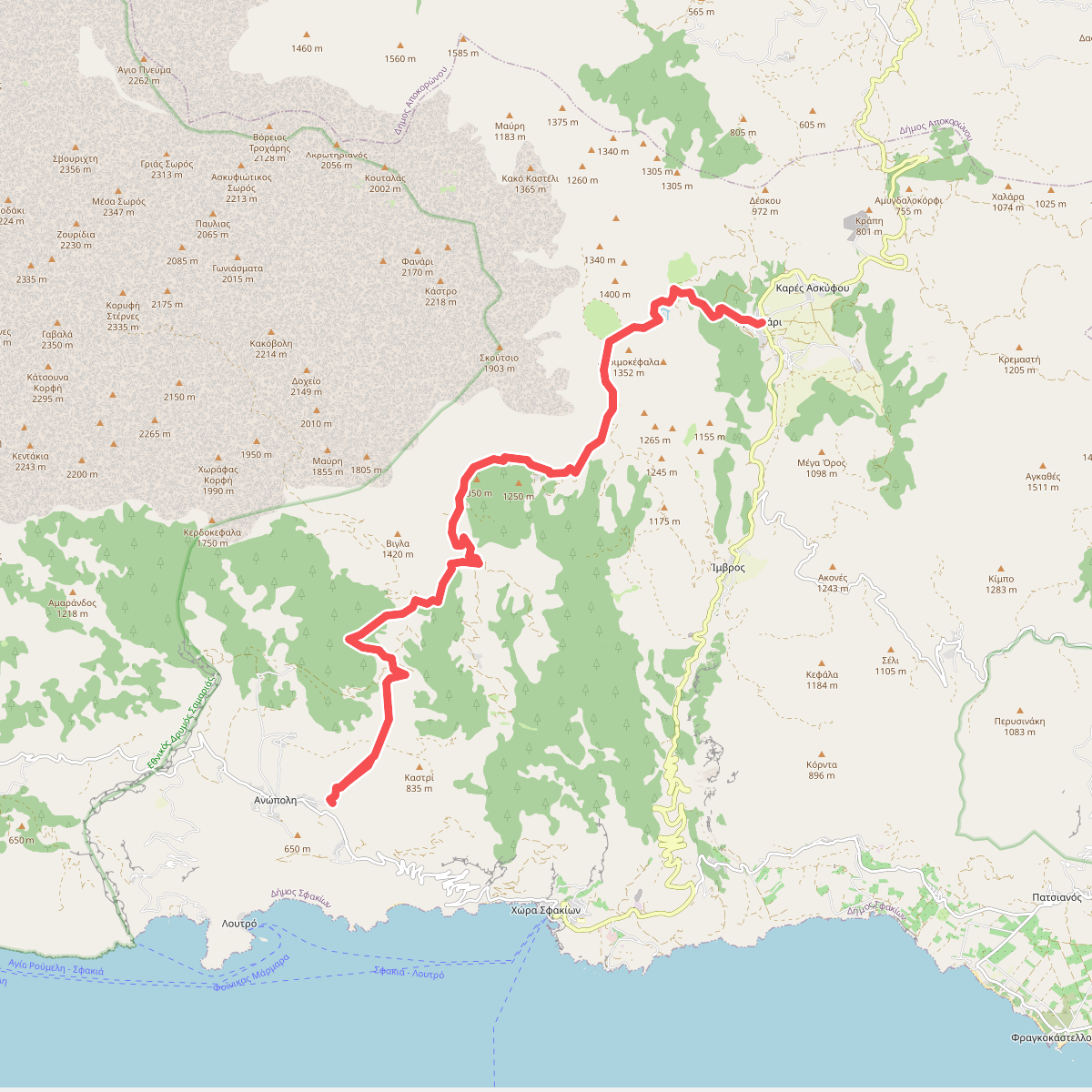
#10. Askyfou-Anopoli
Δήμος Σφακίων
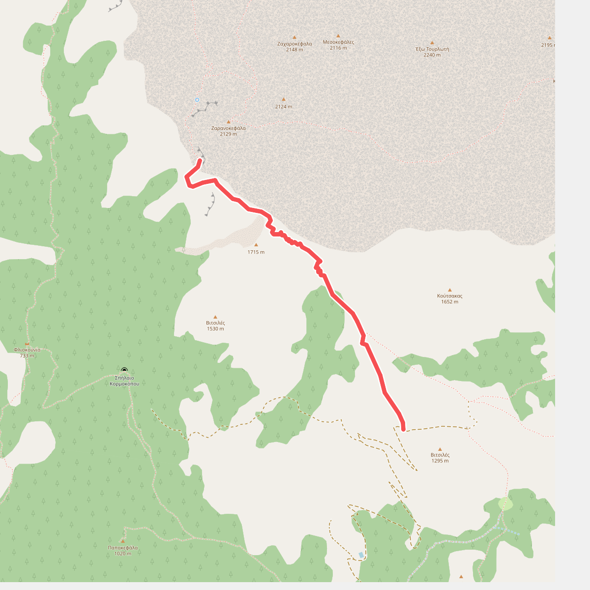
#11. Kroussia-Zarano
Δήμος Σφακίων
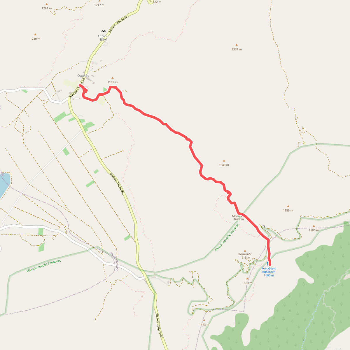
#12. Ομαλός-Καλλέργν μέσω Κουκουλέ
Δήμος Πλατανιά,Δήμος Σφακίων



