The best hiking routes in Espai Natural de les Guilleries-Savassona
Discover the best walks in Espai Natural de les Guilleries-Savassona. 33 routes on the map, with descriptions, photos and GPX.
Managed by Consorci de l'Espai Natural de les Guilleries-Savassona
About Espai Natural de les Guilleries-Savassona
Espai Natural de les Guilleries-Savassona is characterized by the abrupt transition between dense, Mediterranean oak forests and sheer sandstone cliffs that drop into the Ter river valley. Unlike the flatter agricultural plains nearby, this area is defined by its verticality, where red rock walls slice through the woodland canopy. Walkers will notice a stark contrast between the dry, sunny cliff edges of Savassona, dominated by holm oaks and bare stone, and the deeper, damp ravines of the Guilleries sector, where ferns and taller deciduous trees thrive in the shade.
Read more
About Espai Natural de les Guilleries-Savassona
Espai Natural de les Guilleries-Savassona is characterized by the abrupt transition between dense, Mediterranean oak forests and sheer sandstone cliffs that drop into the Ter river valley. Unlike the flatter agricultural plains nearby, this area is defined by its verticality, where red rock walls slice through the woodland canopy. Walkers will notice a stark contrast between the dry, sunny cliff edges of Savassona, dominated by holm oaks and bare stone, and the deeper, damp ravines of the Guilleries sector, where ferns and taller deciduous trees thrive in the shade.
Read moreEspai Natural de les Guilleries-Savassona is characterized by the abrupt transition between dense, Mediterranean oak forests and sheer sandstone cliffs that drop into the Ter river valley. Unlike the flatter agricultural plains nearby, this area is defined by its verticality, where red rock walls slice through the woodland canopy. Walkers will notice a stark contrast between the dry, sunny cliff edges of Savassona, dominated by holm oaks and bare stone, and the deeper, damp ravines of the Guilleries sector, where ferns and taller deciduous trees thrive in the shade.
Underfoot, the terrain alternates between hard, packed dirt tracks littered with loose pine needles and uneven, rocky paths that require careful stepping over exposed sandstone roots. The trails around the Sau reservoir are often wider and flatter, while the ascents toward the clifftops involve navigating steep, natural stone steps. You will not find high alpine peaks or vast meadows here; instead, the landscape is a maze of wooded ridges, massive isolated boulders used for climbing, and sudden, sheer drop-offs that reveal the reservoir below.
The area is busiest around the accessible viewpoints near the reservoir and the Romanesque hermitage of Sant Feliuet de Savassona, especially during weekends. Choosing the quieter, interior forest tracks leads to a more solitary experience under the dense canopy, where the sound of the wind in the pines replaces the activity of the main trailheads. In autumn, particularly during November, the deciduous patches in the deeper valleys turn a distinct yellow, contrasting sharply with the evergreen oaks on the cliffs.
Hiking routes in Espai Natural de les Guilleries-Savassona (33)
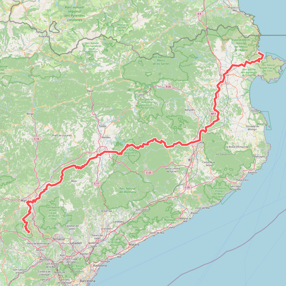
#1. Camí de Sant Jaume (Sant Pere de Rodes - Montserrat)
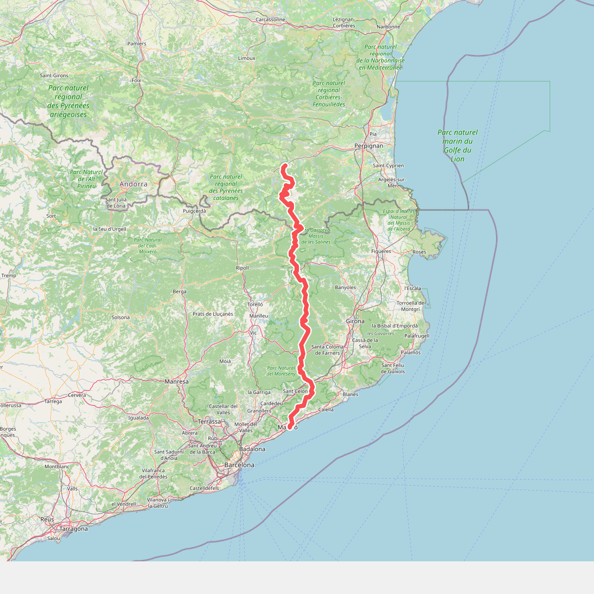
#2. Camí del nord o del Canigó
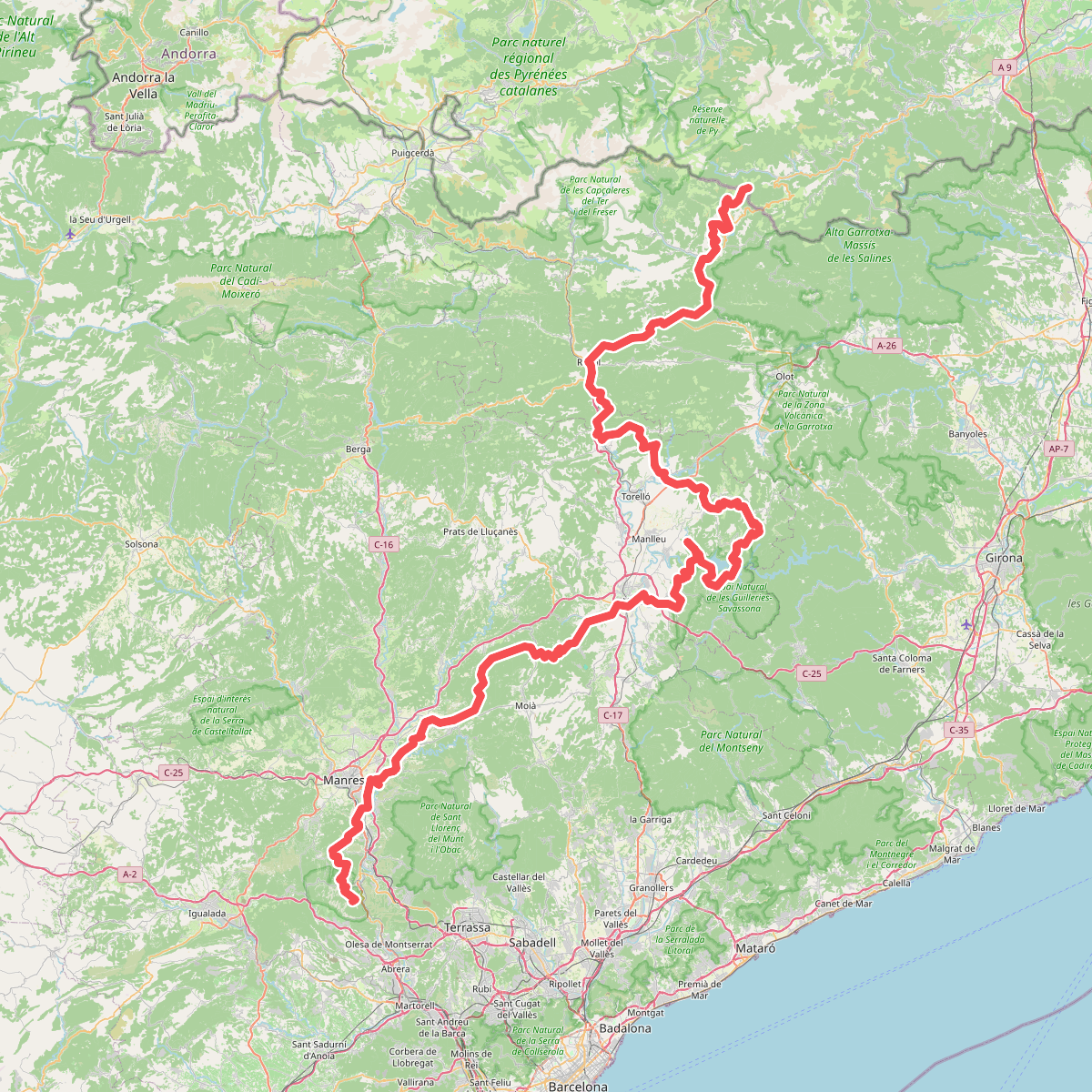
#3. Camí Oliba
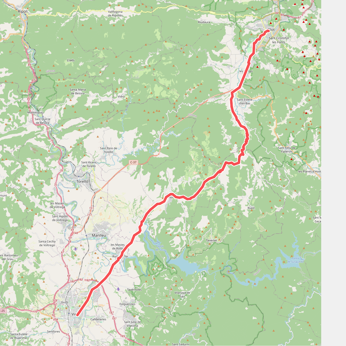
#4. Camí Ral de Vic a Olot
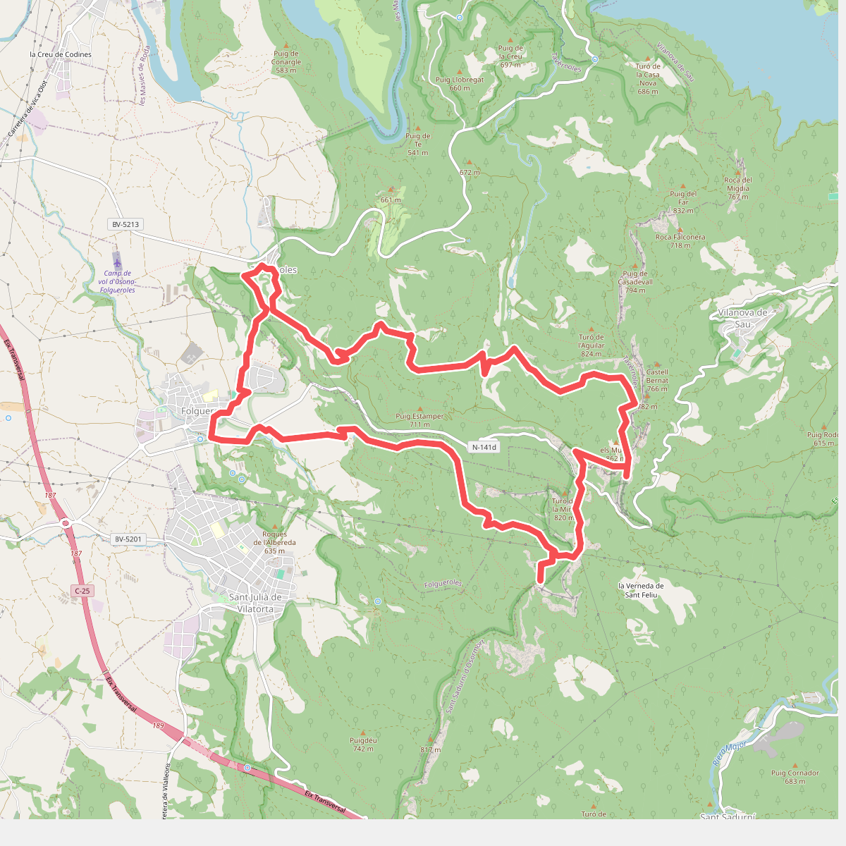
#5. Camins de Verdaguer
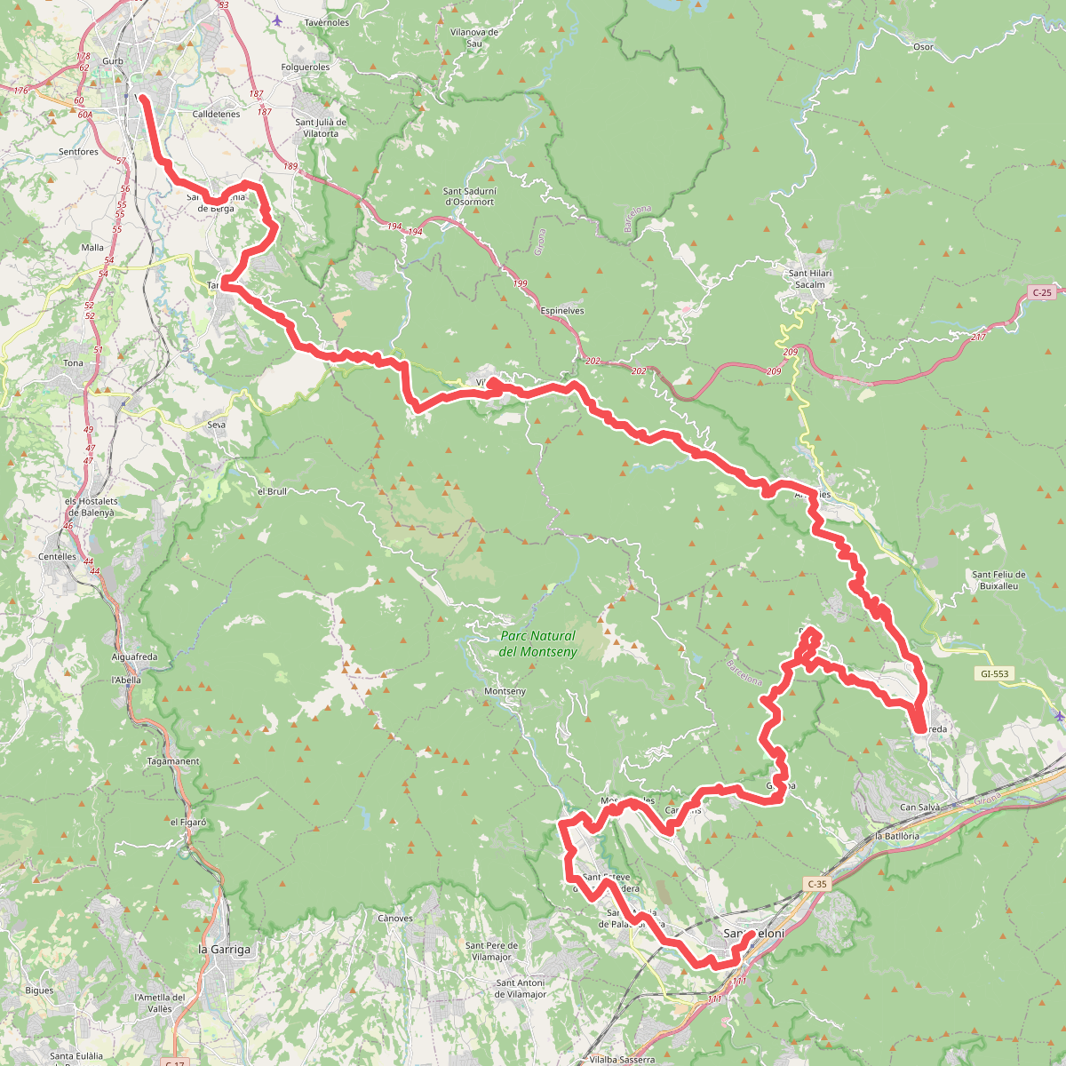
#6. El Camí IT7TR3 El Camí de Llevant: de Montserrat a Salses
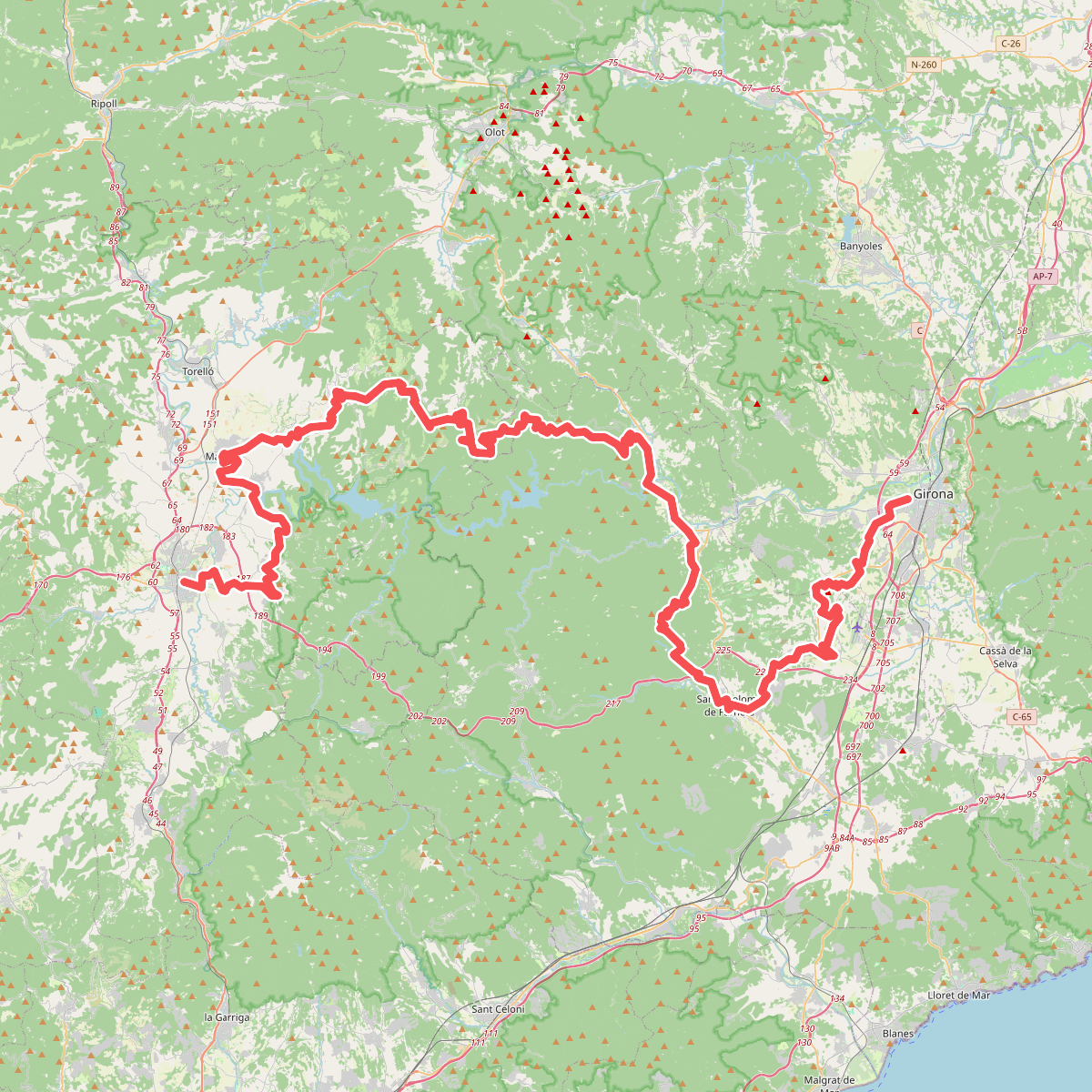
#7. El Camí IT7TR4 El Camí de Llevant: de Montserrat a Salses
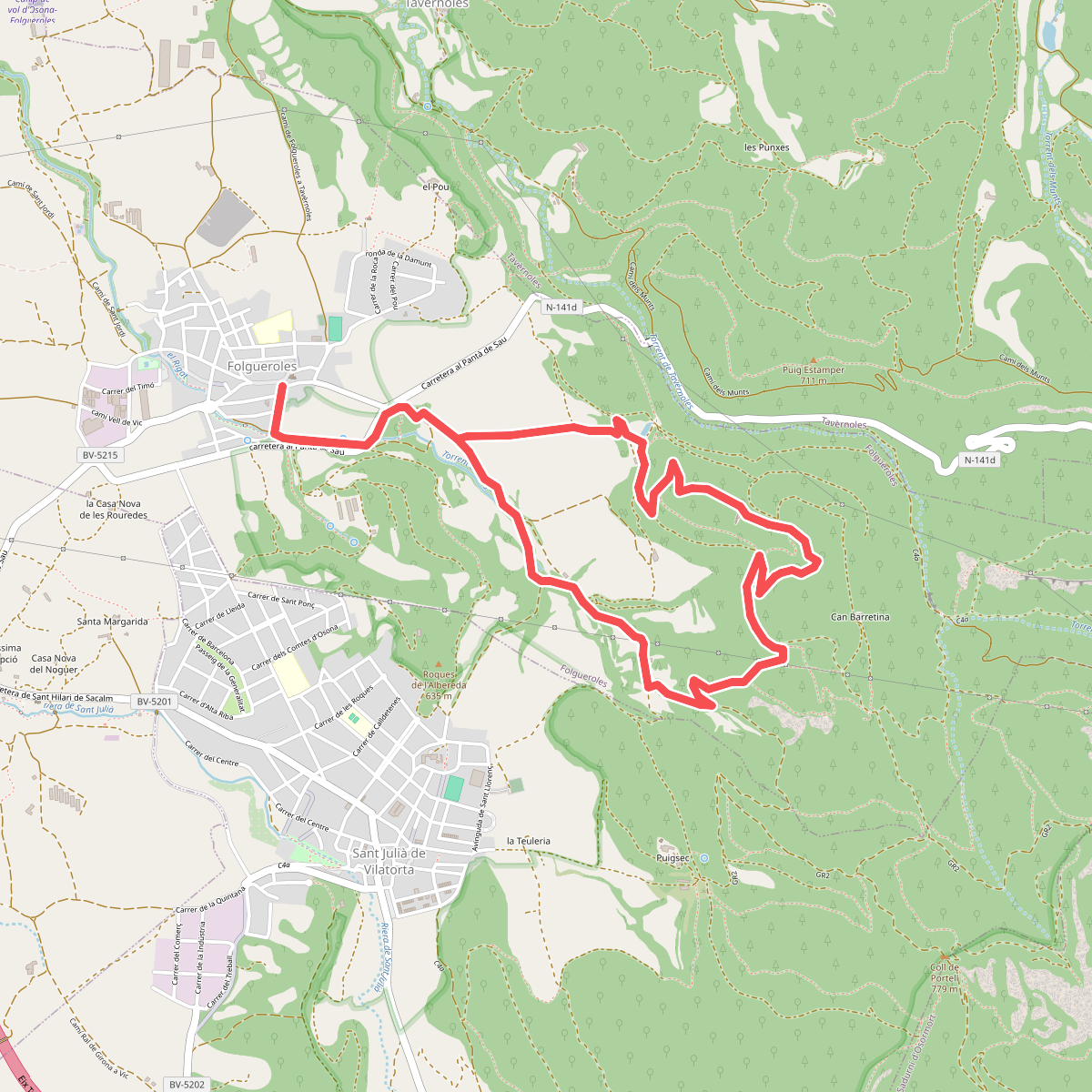
#8. El Casol de Puigcastellet
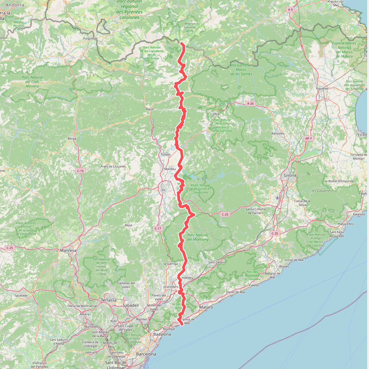
#9. El Meridià Verd
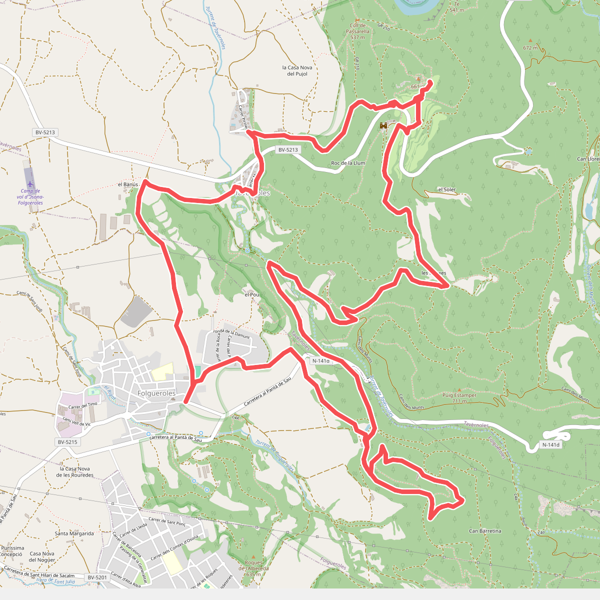
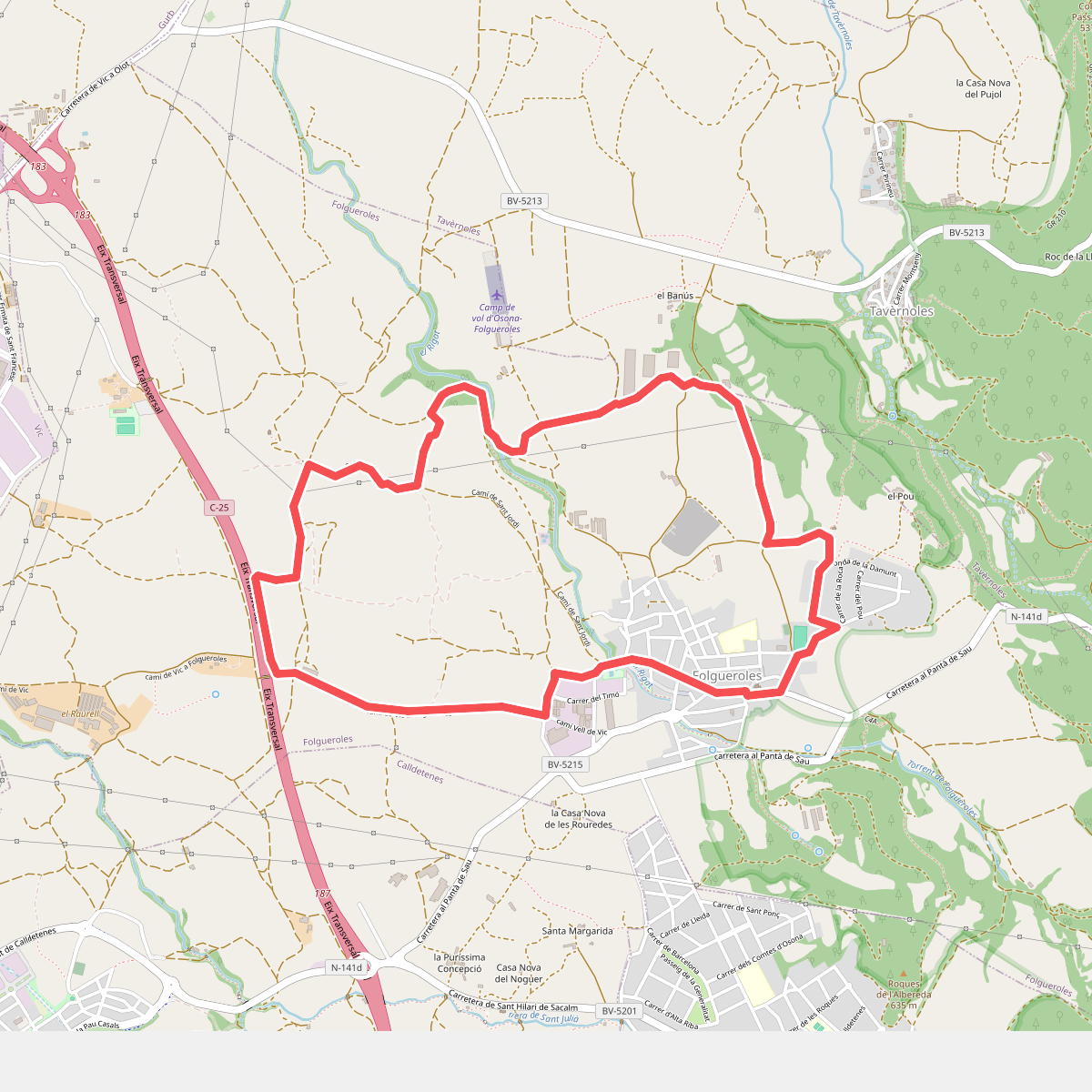
#10. Folgueroles - Casol de Puigcastellet - Pla de Savassona
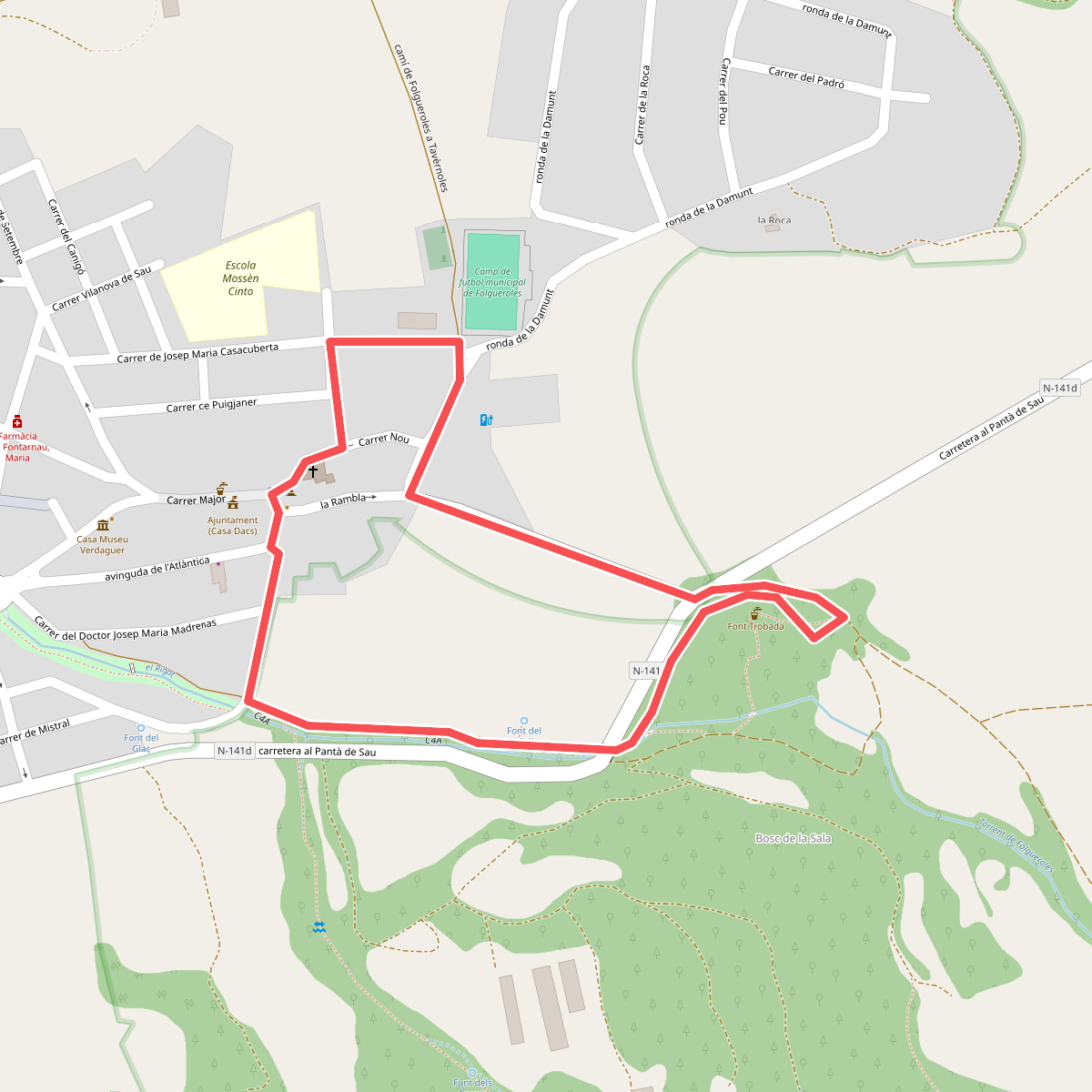
#11. Folgueroles-Font Trobada