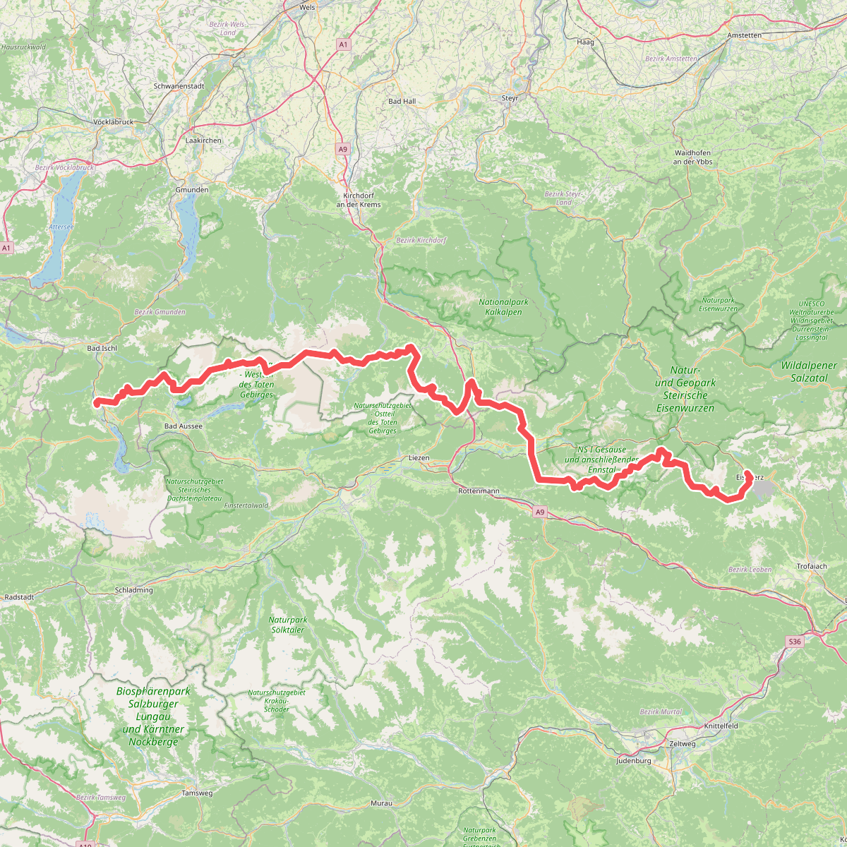
The best hiking routes in Ennstal zwischen Liezen und Niederstuttern
Discover the best walks in Ennstal zwischen Liezen und Niederstuttern. 1 routes on the map, with descriptions, photos and GPX.
About Ennstal zwischen Liezen und Niederstuttern
The Ennstal zwischen Liezen und Niederstuttern covers a flat, wide valley floor shaped by the Enns River, contrasting sharply with the steep mountain walls rising directly on either side. This valley bottom consists of a mosaic of managed agricultural meadows, drainage ditches, and remnants of alluvial wetlands. Walkers will find a landscape of open fields and scattered clusters of grey alder and willow trees, rather than dense forests or high alpine terrain. It is a level walking area where the main paths follow gravel agricultural tracks and paved secondary roads, making it straightforward to navigate.
Read more
About Ennstal zwischen Liezen und Niederstuttern
The Ennstal zwischen Liezen und Niederstuttern covers a flat, wide valley floor shaped by the Enns River, contrasting sharply with the steep mountain walls rising directly on either side. This valley bottom consists of a mosaic of managed agricultural meadows, drainage ditches, and remnants of alluvial wetlands. Walkers will find a landscape of open fields and scattered clusters of grey alder and willow trees, rather than dense forests or high alpine terrain. It is a level walking area where the main paths follow gravel agricultural tracks and paved secondary roads, making it straightforward to navigate.
Read moreThe Ennstal zwischen Liezen und Niederstuttern covers a flat, wide valley floor shaped by the Enns River, contrasting sharply with the steep mountain walls rising directly on either side. This valley bottom consists of a mosaic of managed agricultural meadows, drainage ditches, and remnants of alluvial wetlands. Walkers will find a landscape of open fields and scattered clusters of grey alder and willow trees, rather than dense forests or high alpine terrain. It is a level walking area where the main paths follow gravel agricultural tracks and paved secondary roads, making it straightforward to navigate.
Underfoot, the terrain is consistently flat, dominated by packed gravel and tarmac, with occasional grassy paths along the drainage channels. Unlike the rugged mountain trails nearby, this area offers gentle, low-impact walking where the primary focus is on the valley floor itself. You will cross several small bridges over the regulated river and its tributaries, where the slow-moving water and reed beds show how the valley has been modified for farming while still retaining pockets of its original wetland character.
In May and June, the meadows are particularly green and filled with flowering grasses before the first hay cut, while the surrounding peaks still hold patches of snow. The area is generally quiet, though farm vehicles use the same tracks, and the proximity of the main valley road means traffic noise is audible in certain sections. It is a practical choice for those seeking a level, open walk with clear views of the surrounding cliffs, without the steep climbs or rocky footing of the high-altitude routes.