

The best hiking routes in De Maasduinen
Discover the best walks in De Maasduinen. 30 routes on the map, with descriptions, photos and GPX.
About De Maasduinen
De Maasduinen is a narrow, sixty-kilometre strip of inland dunes and heathland running along the east bank of the Meuse river near the German border. Unlike typical Dutch forest parks, this landscape is defined by long, wind-blown sand ridges that rise gently above wet peat basins and heather commons. Walkers should expect a landscape of contrasts, where dry, shifting sand dunes sit directly alongside dark, still fens and pine plantations. Underfoot, the terrain alternates between loose, deep sand that requires steady effort and firm, damp paths through the lower-lying heather.
Read more
About De Maasduinen
De Maasduinen is a narrow, sixty-kilometre strip of inland dunes and heathland running along the east bank of the Meuse river near the German border. Unlike typical Dutch forest parks, this landscape is defined by long, wind-blown sand ridges that rise gently above wet peat basins and heather commons. Walkers should expect a landscape of contrasts, where dry, shifting sand dunes sit directly alongside dark, still fens and pine plantations. Underfoot, the terrain alternates between loose, deep sand that requires steady effort and firm, damp paths through the lower-lying heather.
Read moreDe Maasduinen is a narrow, sixty-kilometre strip of inland dunes and heathland running along the east bank of the Meuse river near the German border. Unlike typical Dutch forest parks, this landscape is defined by long, wind-blown sand ridges that rise gently above wet peat basins and heather commons. Walkers should expect a landscape of contrasts, where dry, shifting sand dunes sit directly alongside dark, still fens and pine plantations. Underfoot, the terrain alternates between loose, deep sand that requires steady effort and firm, damp paths through the lower-lying heather.
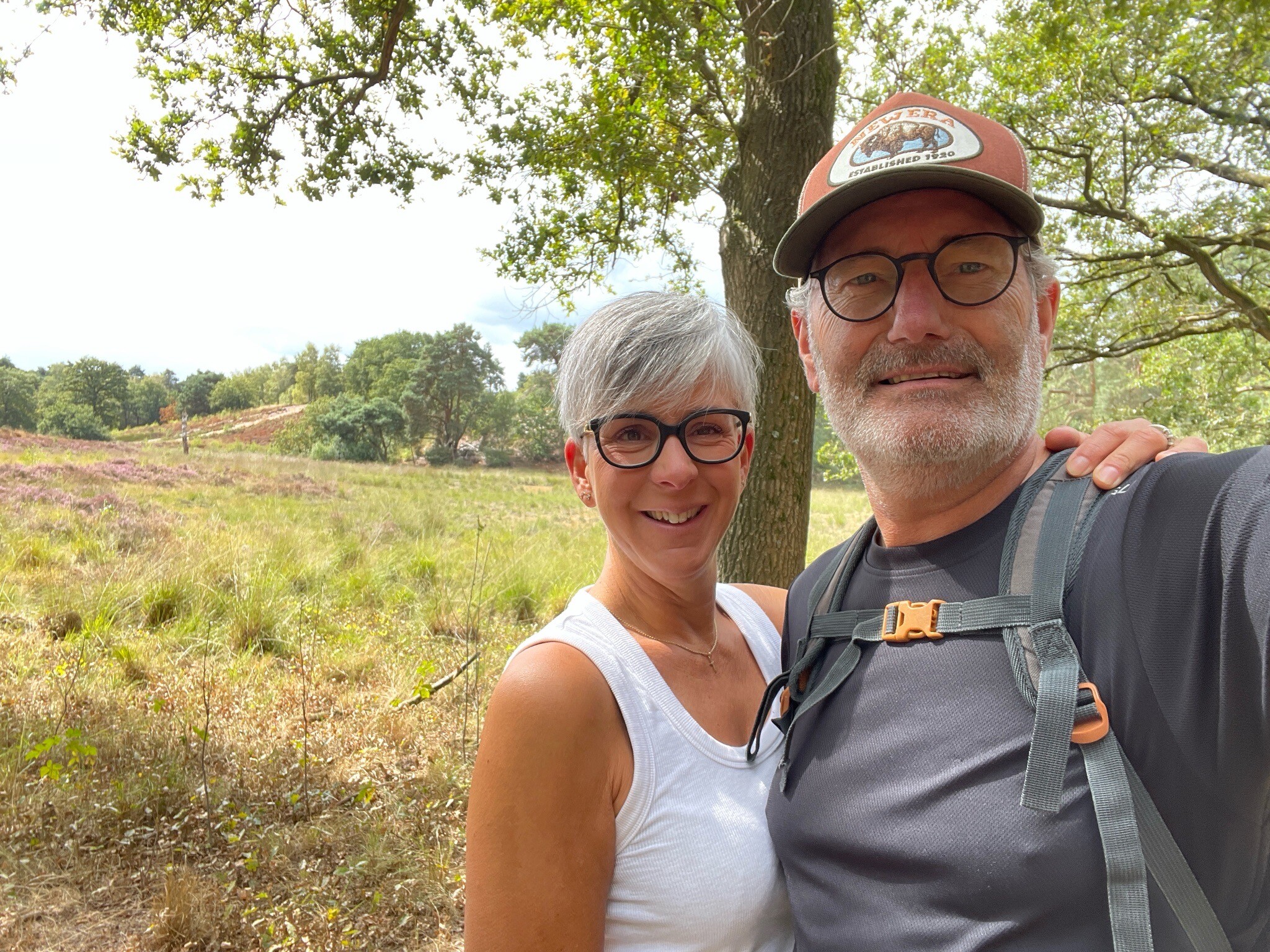
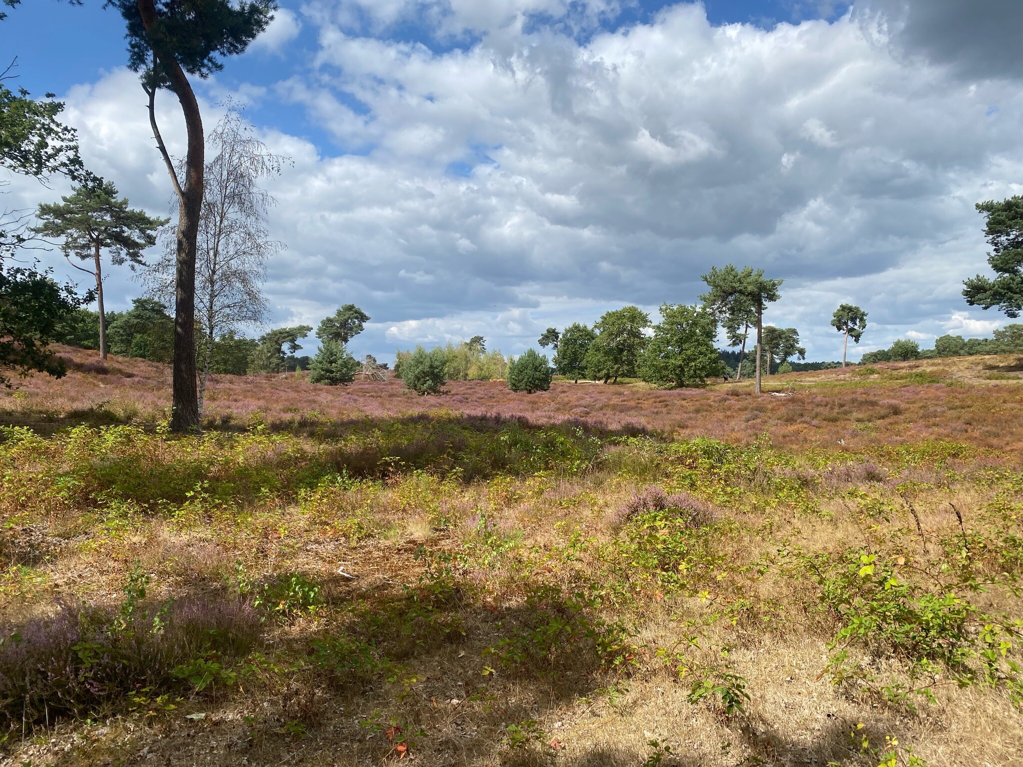
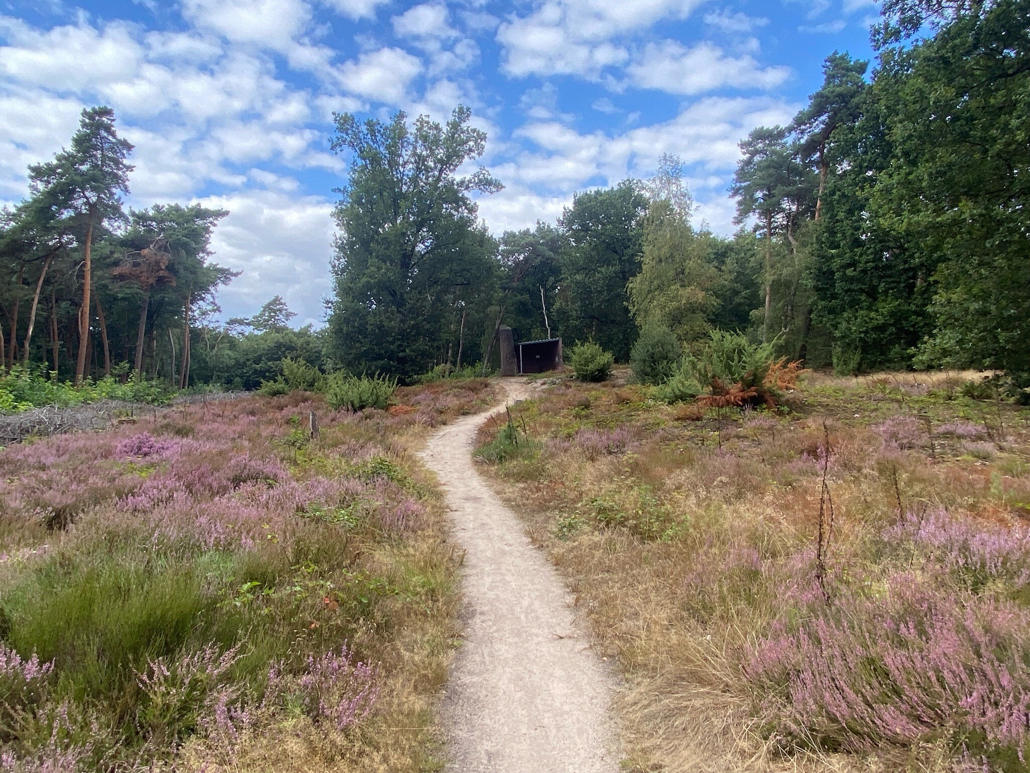
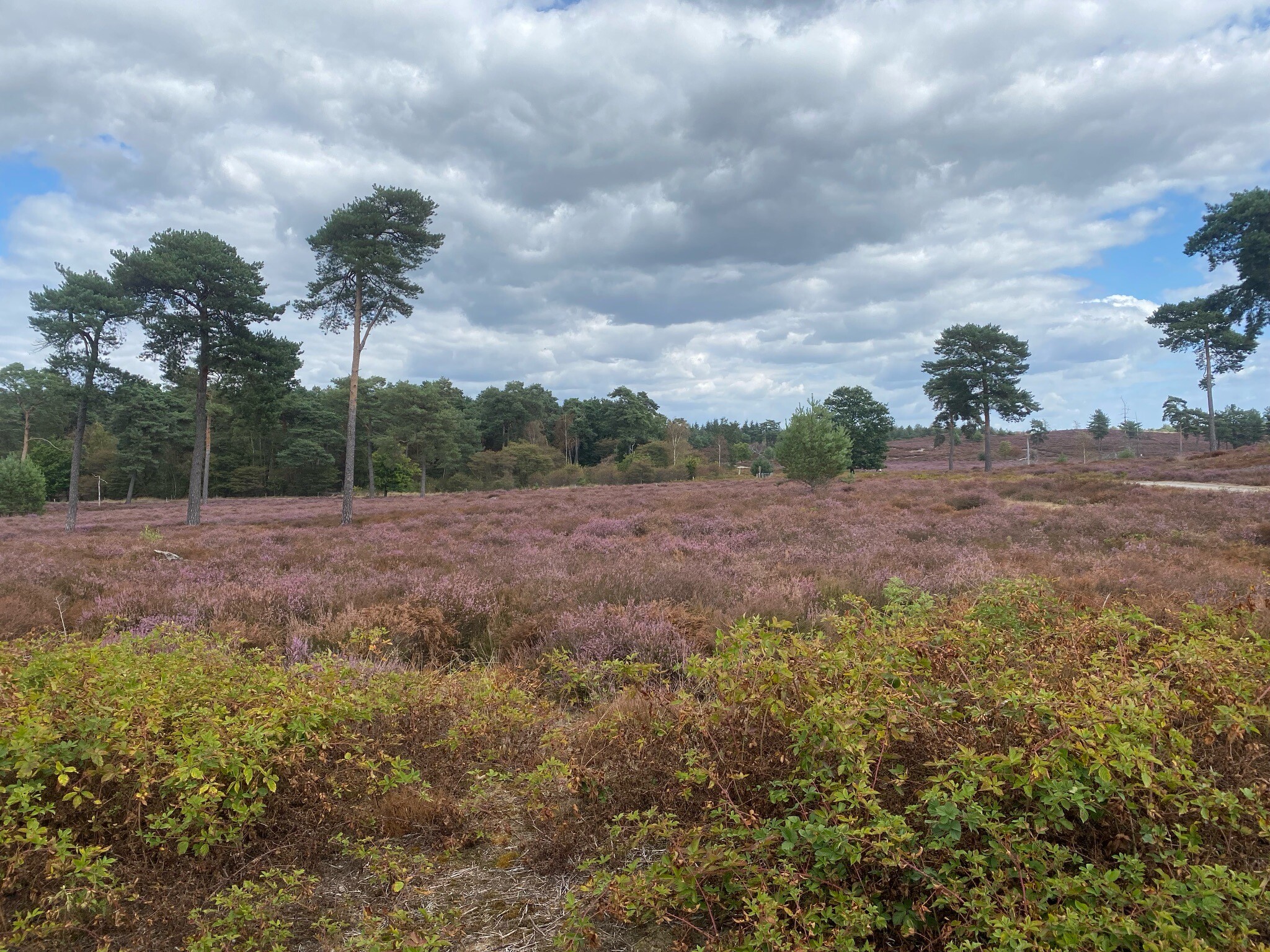
Walking here means navigating these elevation changes. The paths climb up and down the flanks of the parabolic dunes, offering views over the lower fens rather than wide, flat plains. In the lower sections, particularly around the larger pools, wooden boardwalks carry walkers over the boggy ground, while the higher ridges are dominated by sandy tracks winding through heather and birch trees. In August, the dry heath sections turn purple, contrasting sharply with the green of the pine forests that were originally planted to keep the drifting sand from swallowing nearby farmland.
This park is not a place for deep forest isolation or dramatic rocky climbs. The proximity of the river valley and nearby villages means that church towers are often visible on the horizon, and a quiet hum from local roads is common. The well-known lakes, created by gravel extraction, draw more visitors and feature wide, gravelled paths, while the smaller, natural fens deeper in the dunes offer narrower, quieter trails where walkers can observe how the wind still shapes the active sand drifts.
Hiking routes in De Maasduinen (30)
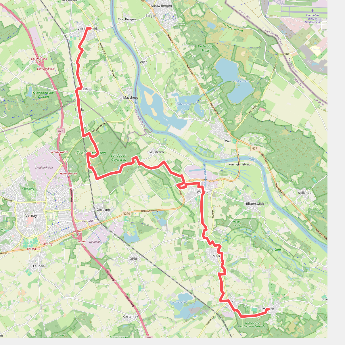
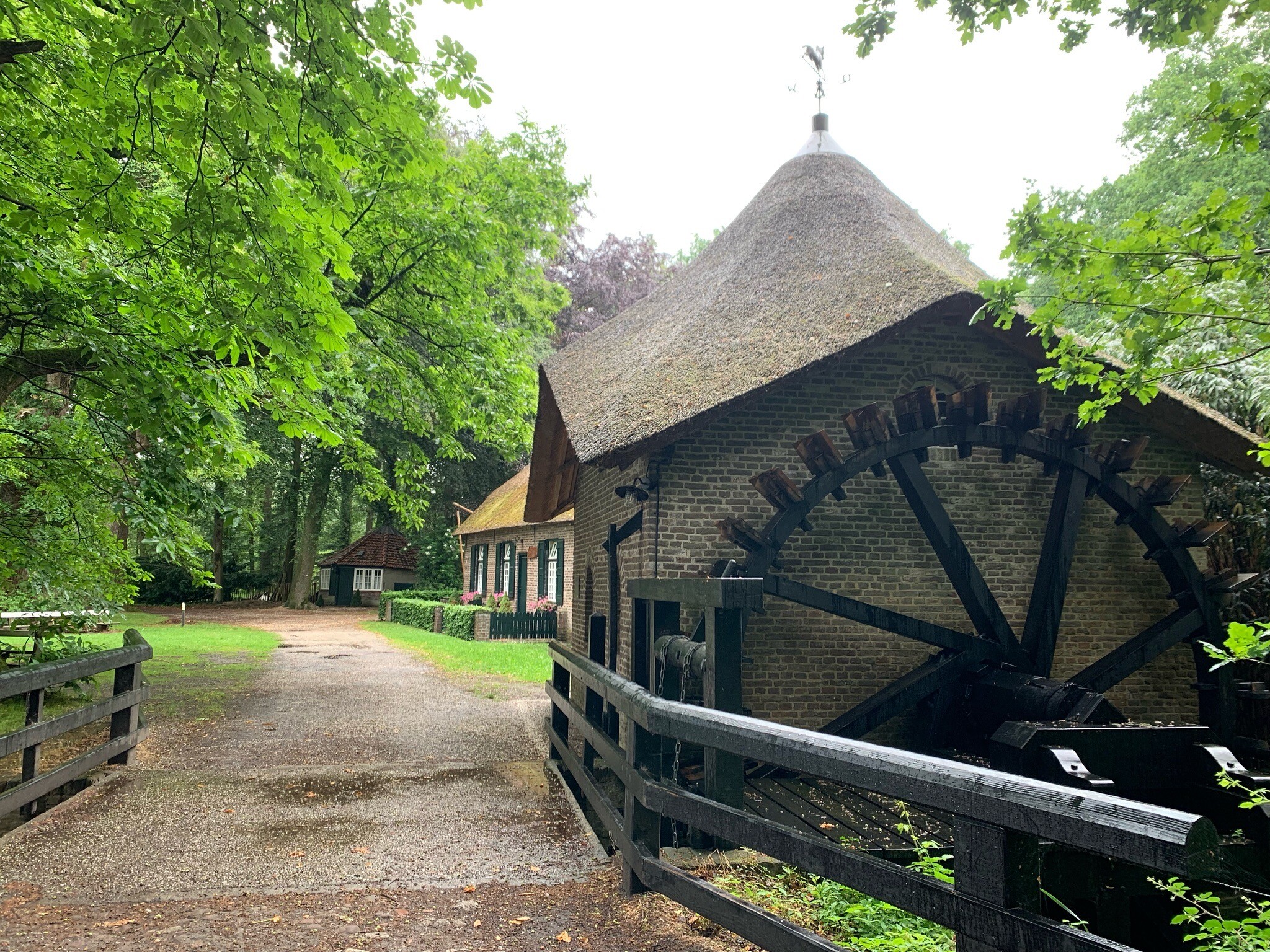
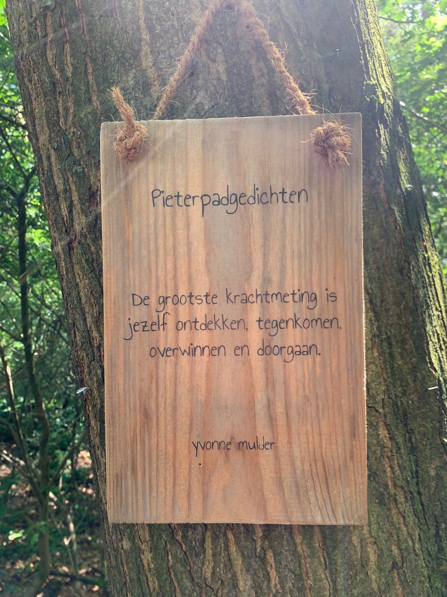
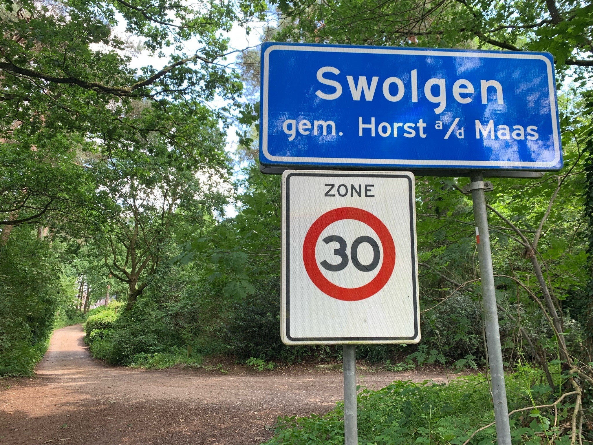
#1. Vierlingsbeek - Swolgen · Pieterpad etappe 20
Vierlingsbeek,Holthees,Smakt,Oostrum,Geijsteren,Wanssum,Meerlo,Tienray,Melderslo,Swolgen
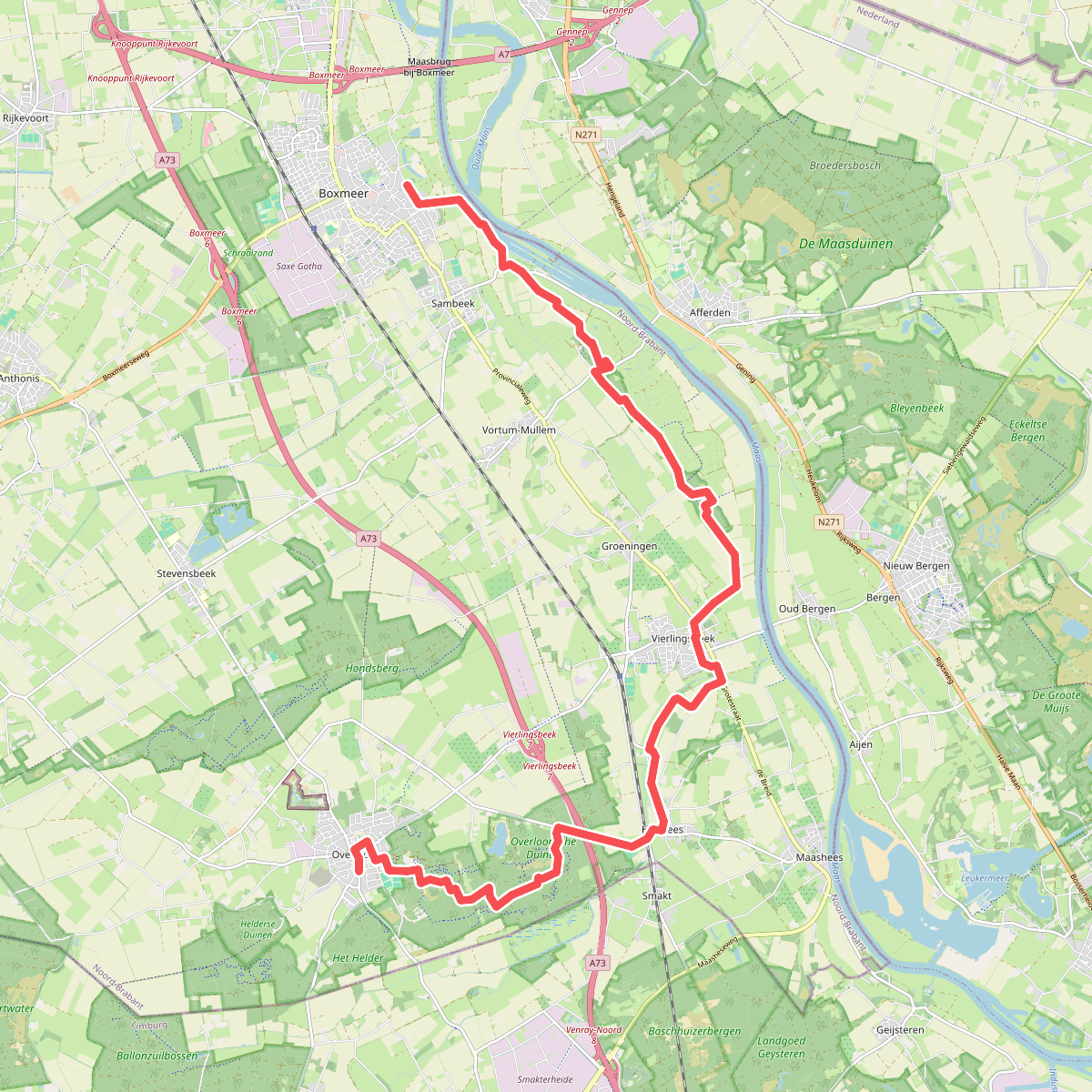
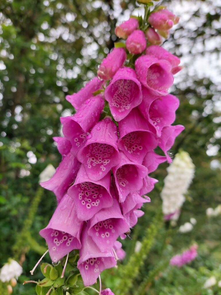
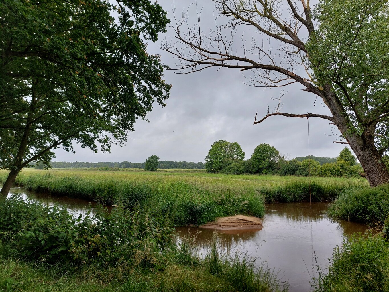
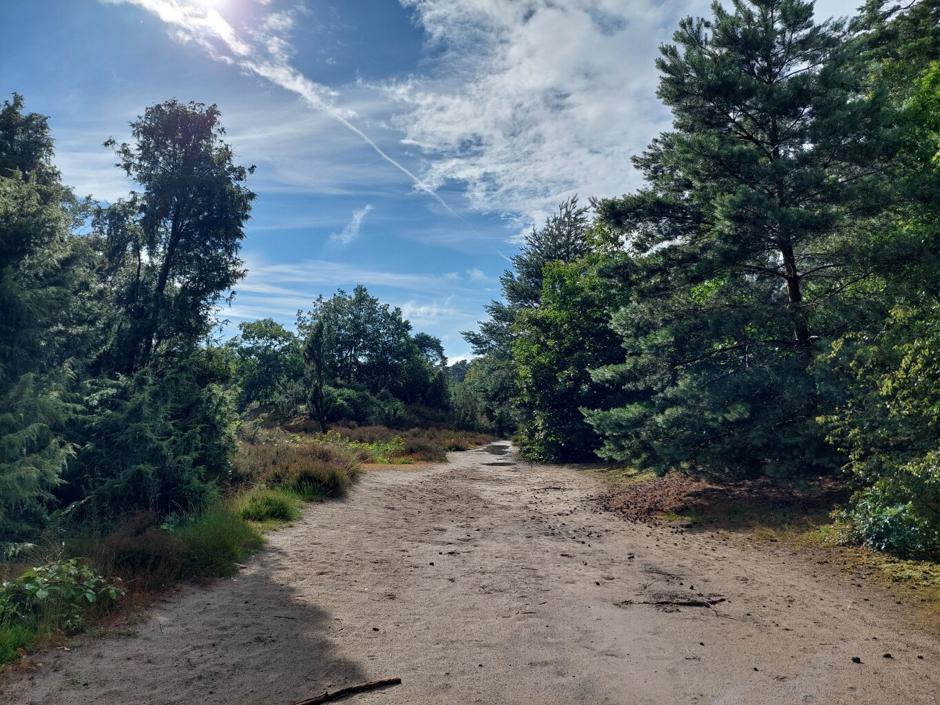
#2. Boxmeer - Overloon · Maas- en Peelliniepad etappe 2
Overloon,Venray,Holthees,Vierlingsbeek,Bergen L,Groeningen,Vortum-Mullem,Sambeek,Boxmeer
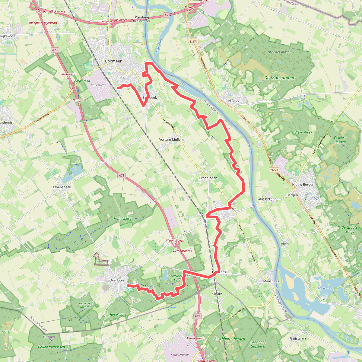
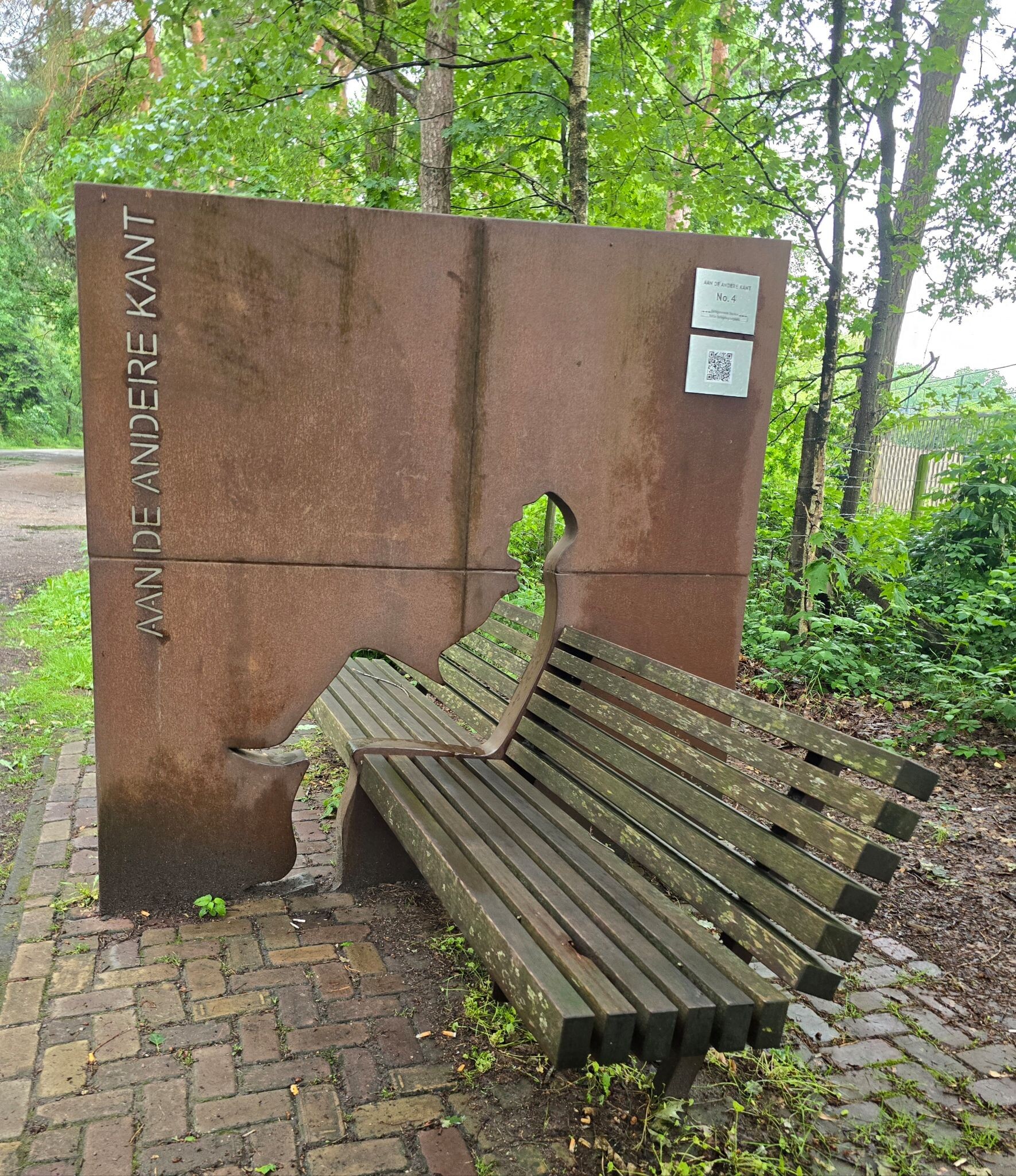
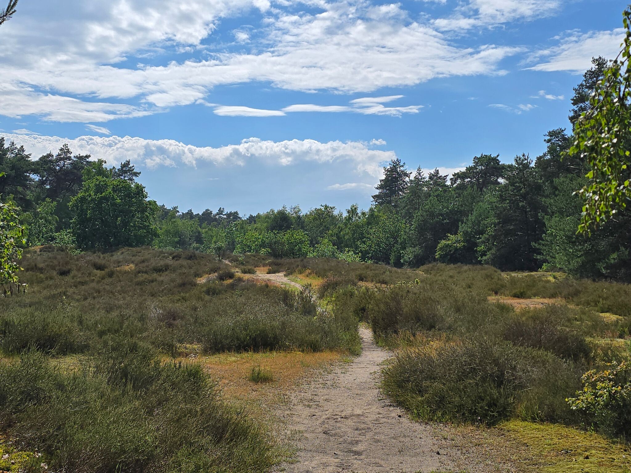
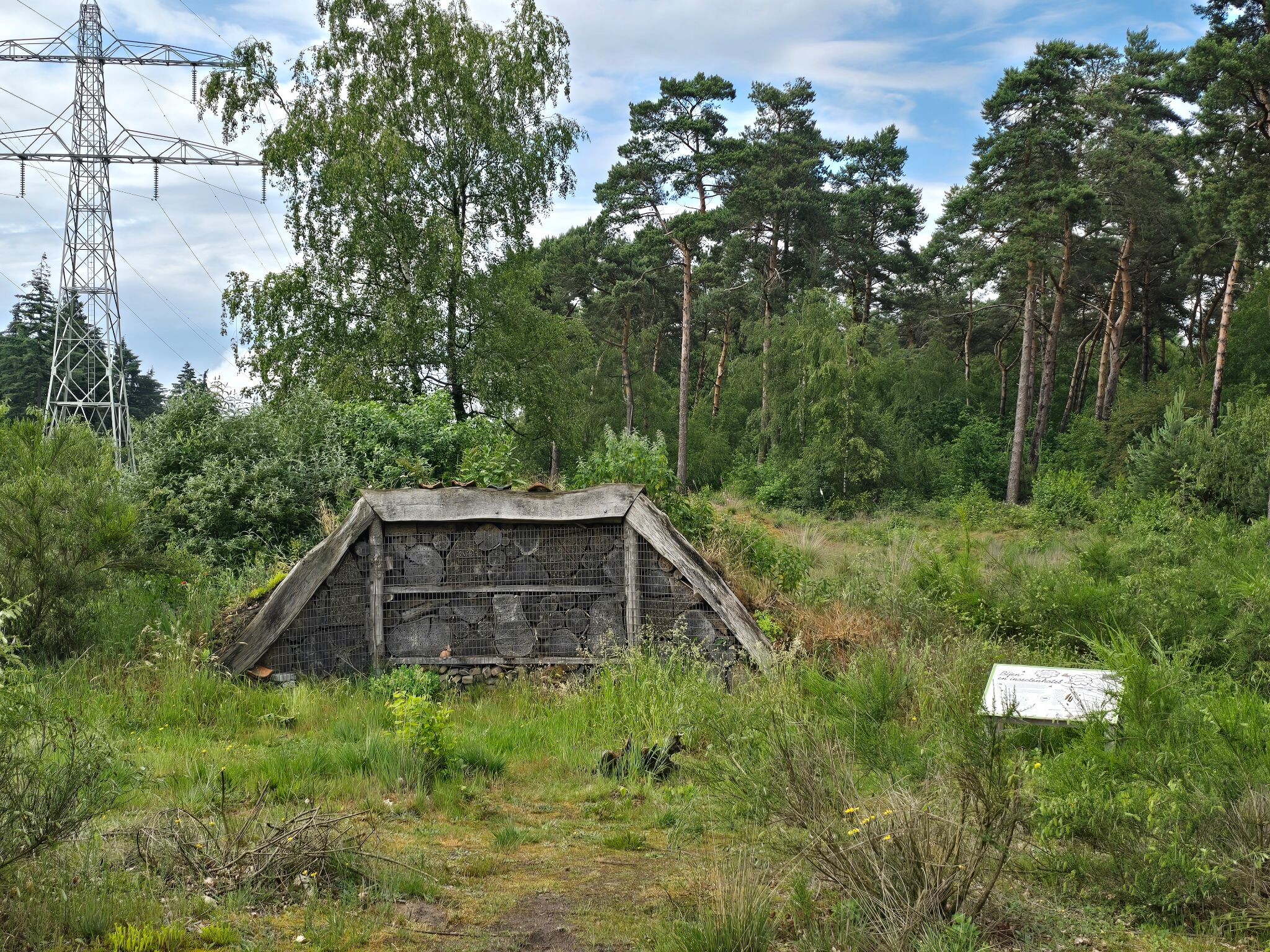
#3. Land van Cuijkpad etappe 2
Boxmeer,Sambeek,Groeningen,Vierlingsbeek,Holthees,Overloon
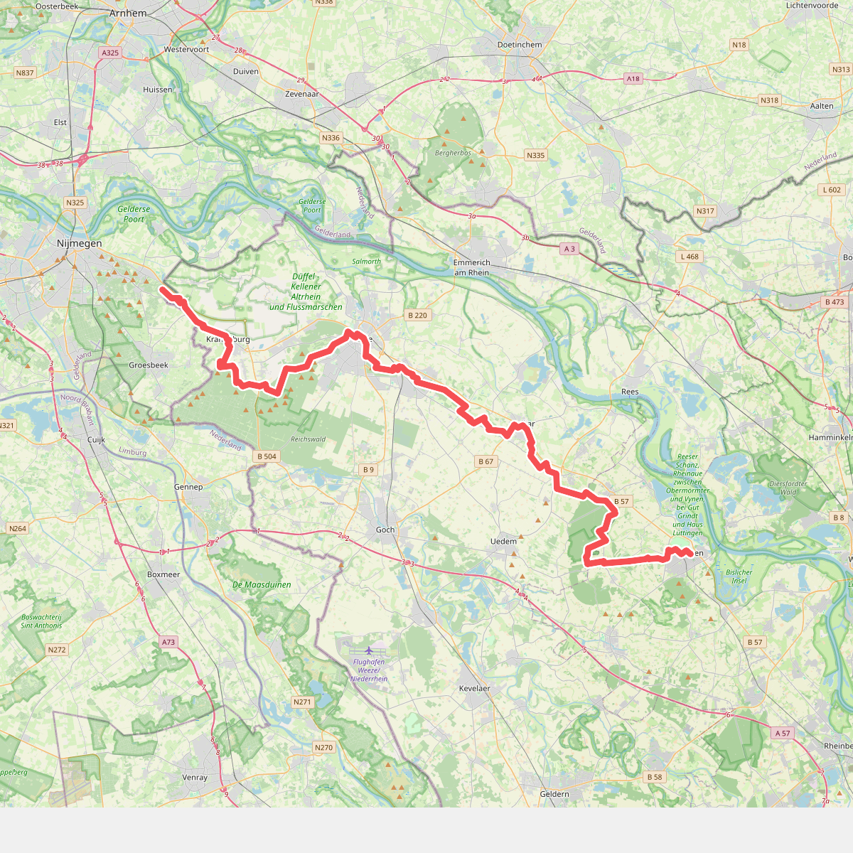
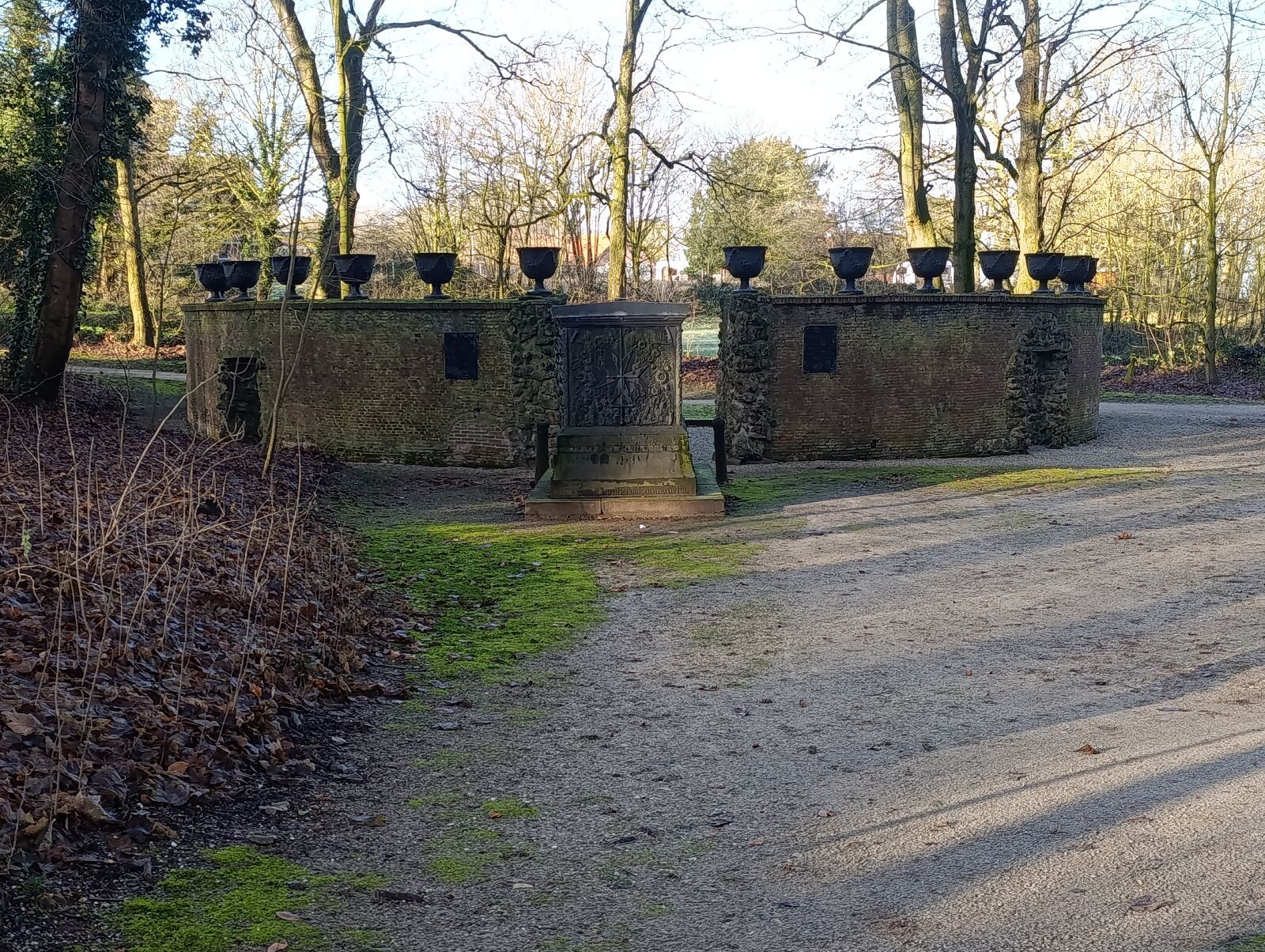
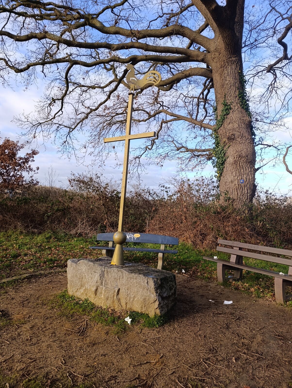
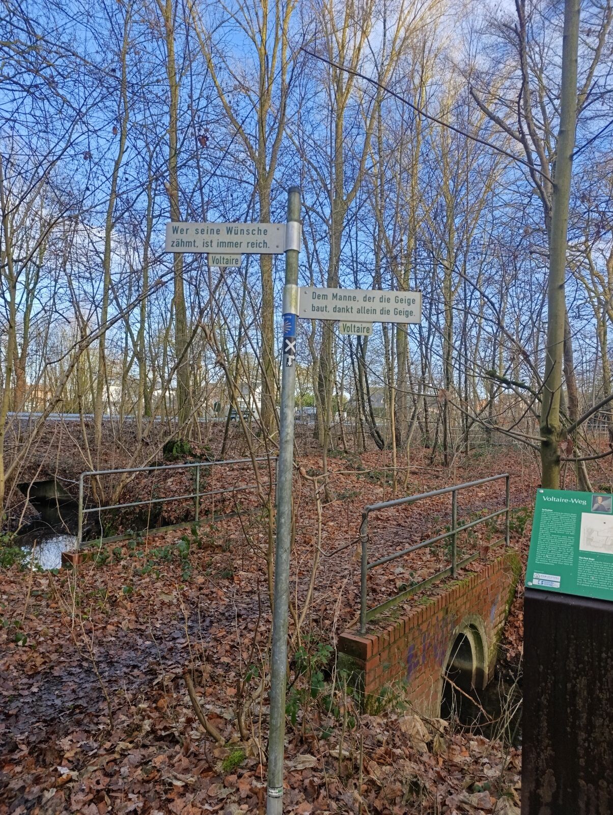
#4. Romeinse Limespad Nijmegen/Berg en Dal - Xanten · Romeinse Limespad etappe 19
Groesbeek,Berg en Dal
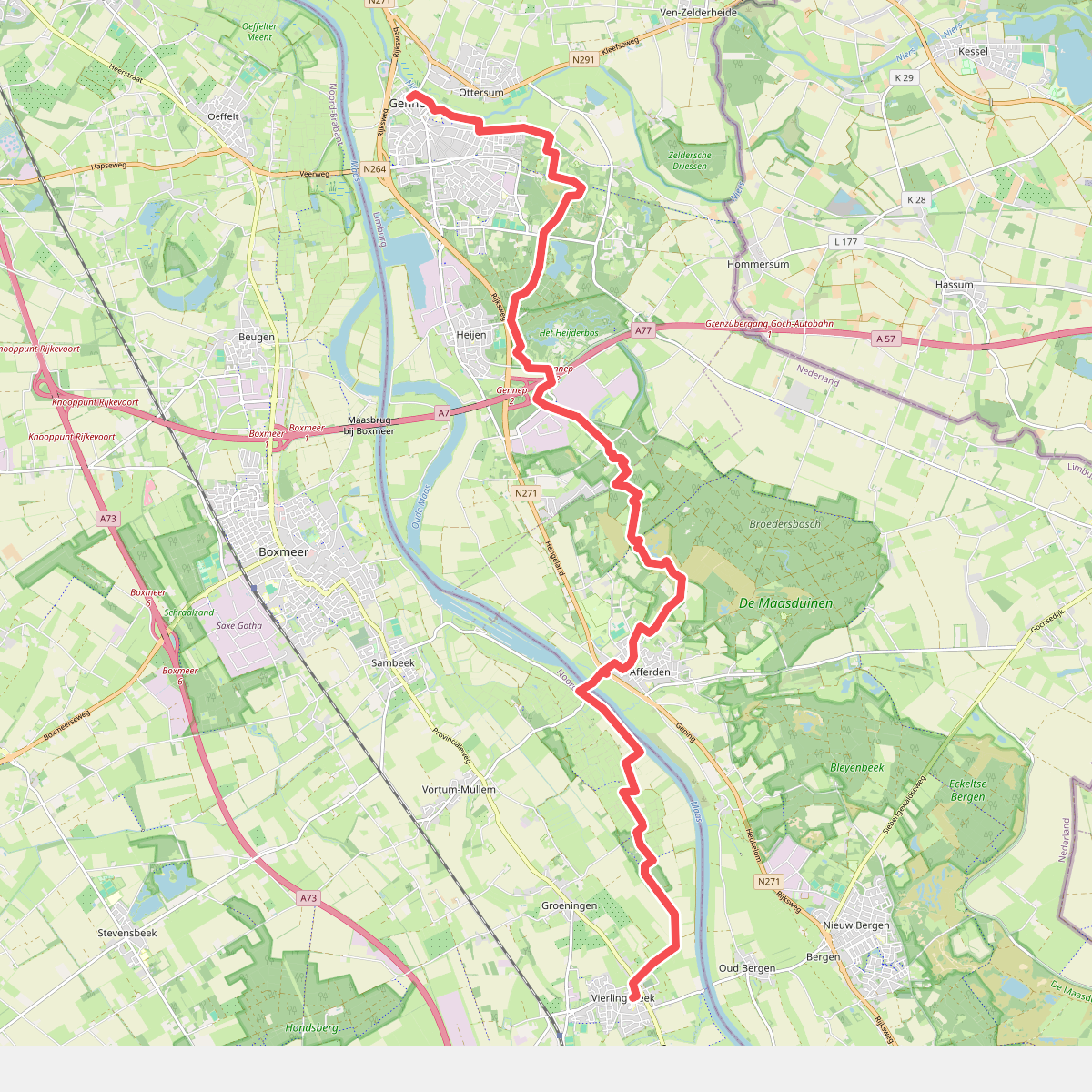
#5. Gennep - Vierlingsbeek · Pieterpad etappe 19
Gennep,Heijen,Afferden L,Groeningen,Bergen L,Vierlingsbeek
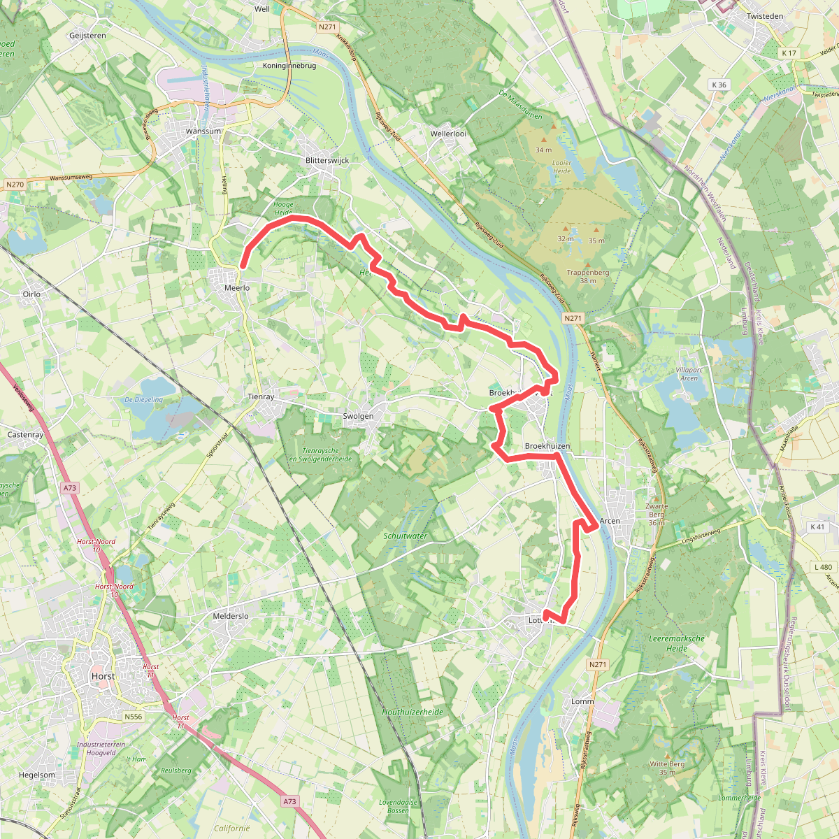
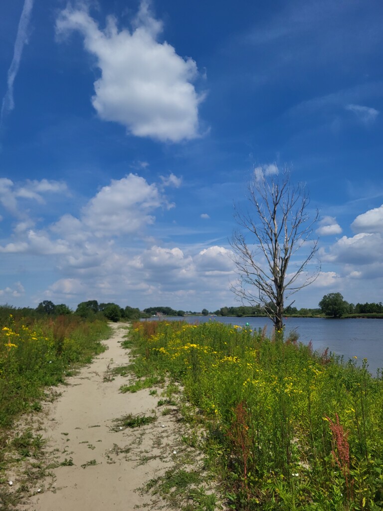
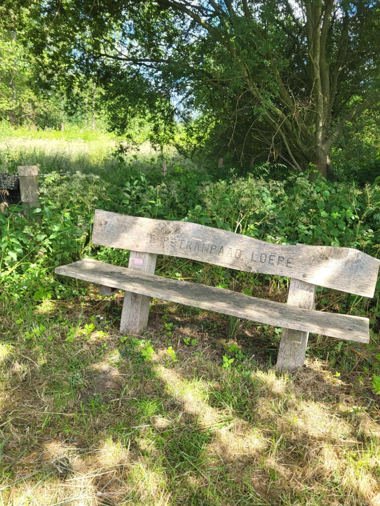
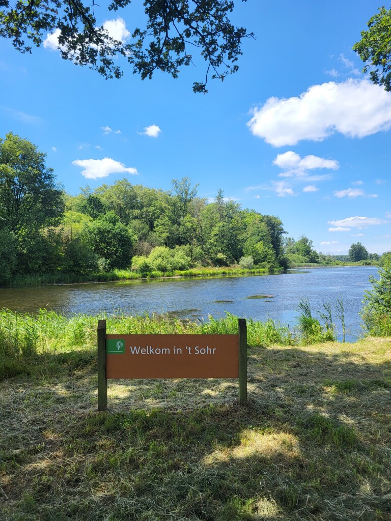
#6. Lottum - Meerlo · Petranpad etappe 1
Meerlo,Blitterswijck,Swolgen,Broekhuizenvorst,Wellerlooi,Broekhuizen,Arcen,Lottum
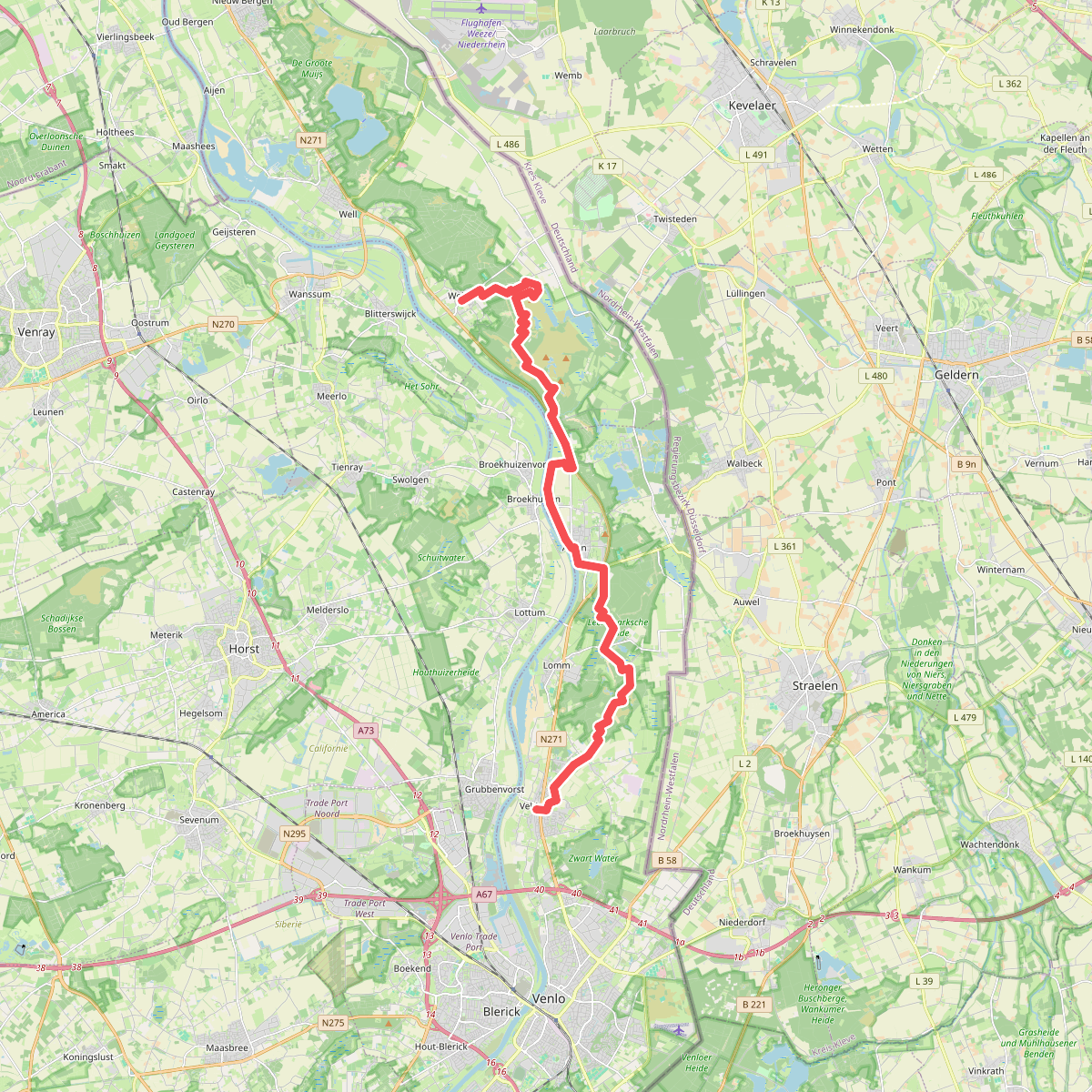
#7. Wellerlooi naar Velden - "Maas & Duin" · NederRandpad etappe 24
Velden,Lomm,Arcen,Lottum,Broekhuizen,Wellerlooi,Broekhuizenvorst
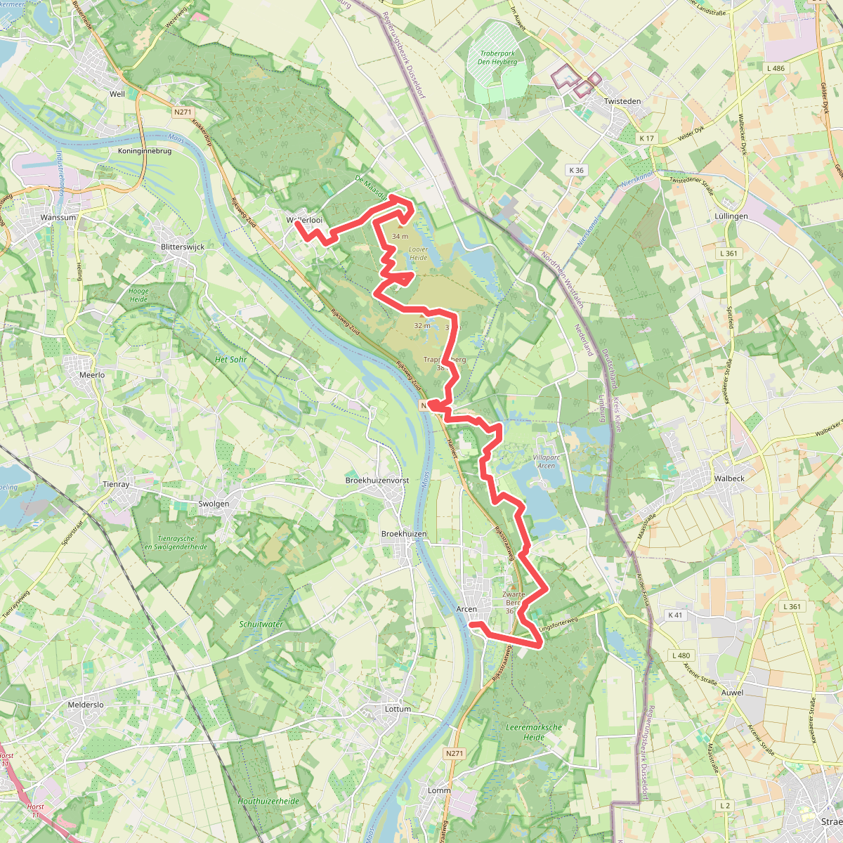
#8. Arcen - Wellerlooi · Maas-Niederrheinpad etappe 2
Wellerlooi,Broekhuizenvorst,Arcen
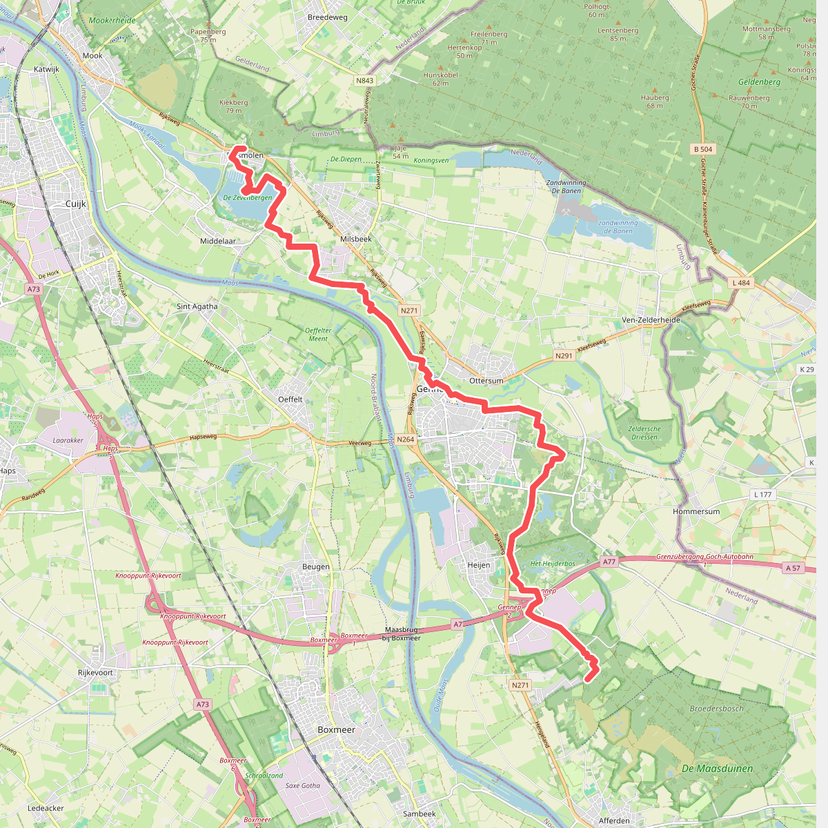
#9. Diekendaal - Plasmolen · Maas-Niederrheinpad etappe 5
Plasmolen,Middelaar,Milsbeek,Gennep,Heijen,Afferden L
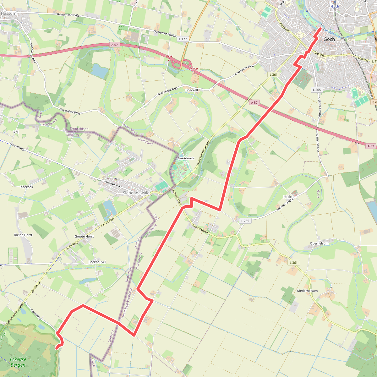
#10. Eckeltse Bergen - Goch · Maas-Niederrheinpad etappe 20
Bergen L,Siebengewald
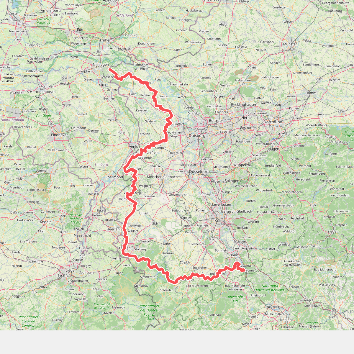
#11. Europäischer Fernwanderweg E8, Nordrhein-Westfalen
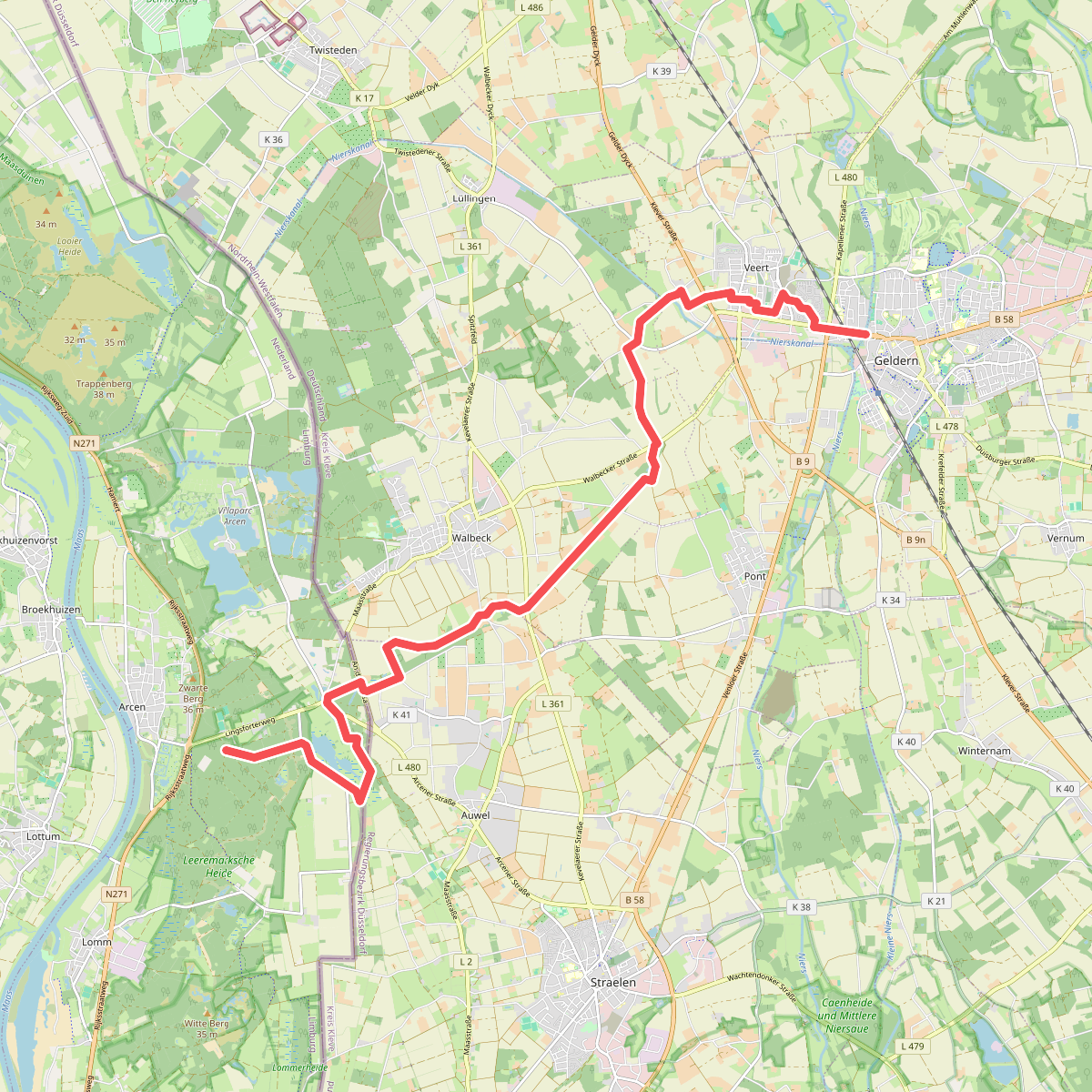
#12. Lingsfort - Geldern · Maas-Niederrheinpad etappe 21
Arcen,Lomm



