

The best hiking routes in CHKO Šumava
Discover the best walks in CHKO Šumava. 17 routes on the map, with descriptions, photos and GPX.
About CHKO Šumava
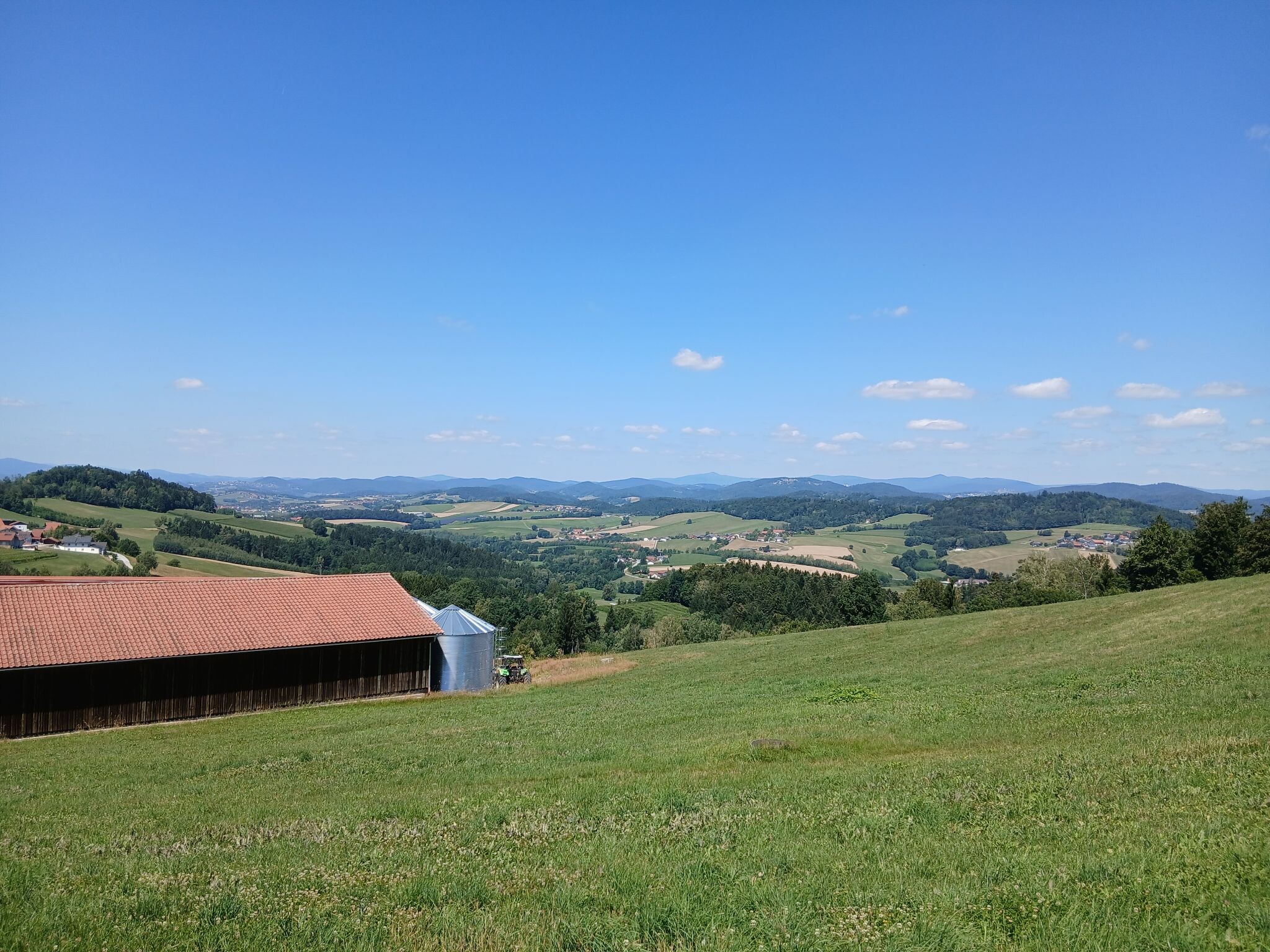
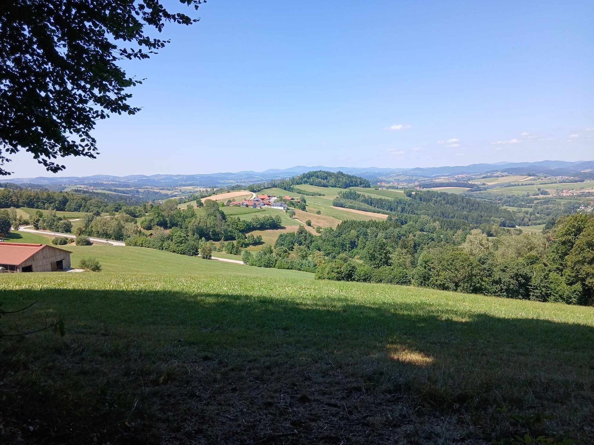
CHKO Šumava is a protected landscape area that forms a wide, forested buffer around the more strictly protected Šumava National Park. Walking here means encountering a landscape of gently rolling plateaus, dense spruce forests, and wide, grassy valleys. Unlike high-alpine regions, you will not find jagged peaks or dramatic rocky gorges here. Instead, the terrain is defined by long, steady climbs and quiet, open meadows that were once farmland before the mid-twentieth century.
Read more
About CHKO Šumava
CHKO Šumava is a protected landscape area that forms a wide, forested buffer around the more strictly protected Šumava National Park. Walking here means encountering a landscape of gently rolling plateaus, dense spruce forests, and wide, grassy valleys. Unlike high-alpine regions, you will not find jagged peaks or dramatic rocky gorges here. Instead, the terrain is defined by long, steady climbs and quiet, open meadows that were once farmland before the mid-twentieth century.
Read moreCHKO Šumava is a protected landscape area that forms a wide, forested buffer around the more strictly protected Šumava National Park. Walking here means encountering a landscape of gently rolling plateaus, dense spruce forests, and wide, grassy valleys. Unlike high-alpine regions, you will not find jagged peaks or dramatic rocky gorges here. Instead, the terrain is defined by long, steady climbs and quiet, open meadows that were once farmland before the mid-twentieth century.
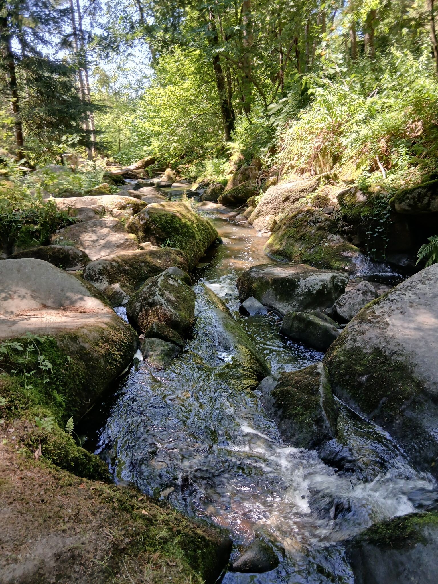
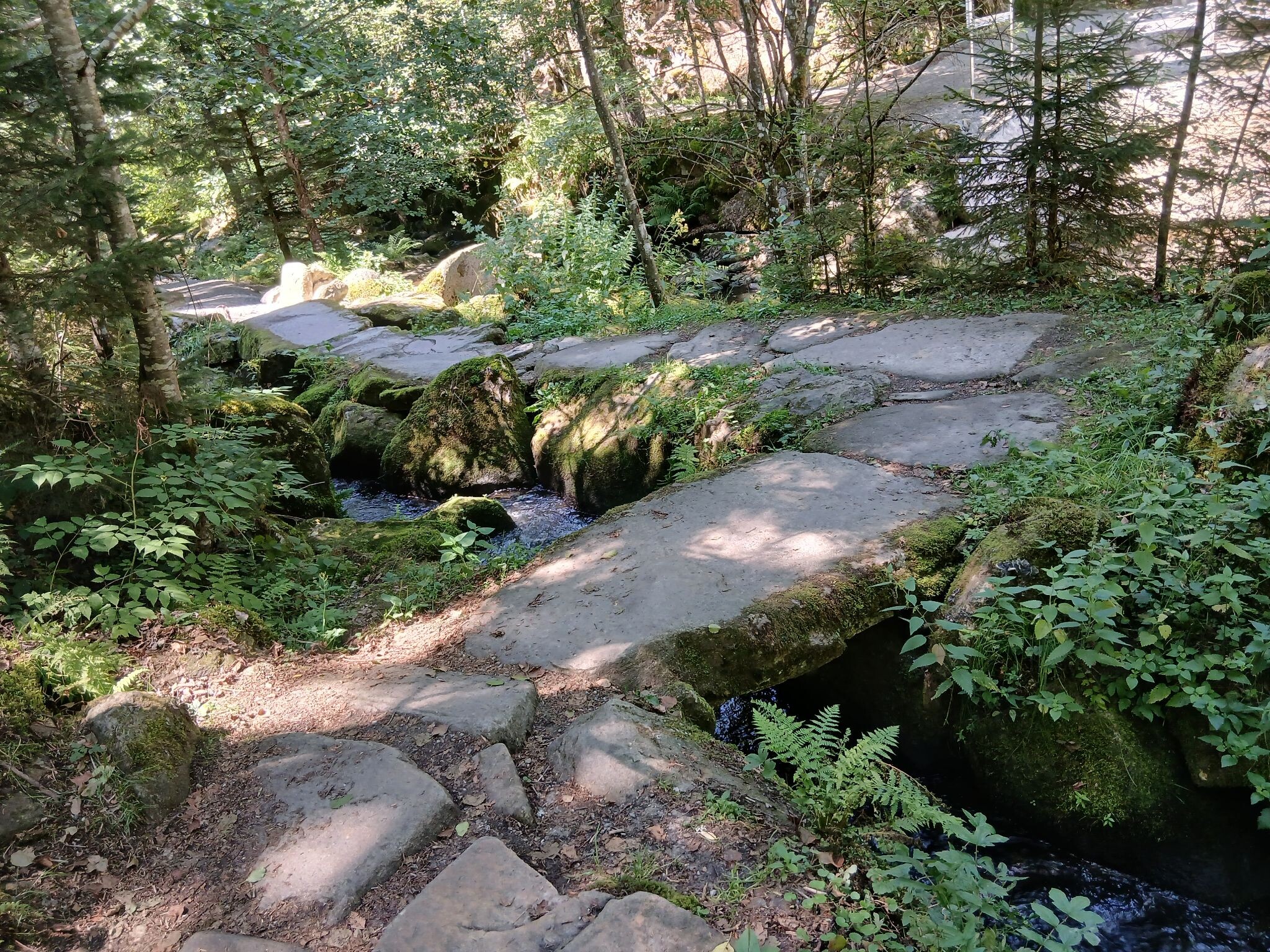
Underfoot, the trails vary from wide forestry gravel roads to narrow, muddy paths cutting through damp peat meadows. In the wetter sections, particularly near the peat bogs that characterize the region, you will walk on wooden boardwalks to protect the fragile mosses. The forest is a mix of managed timber plantations and patches of older, mixed woodland where fallen trees are left to decay, showing the transition back to a more natural state.
In October, the birch and beech trees scattered among the dark spruce turn bright yellow, contrasting sharply with the dark green canopy. The area is vast, meaning that while popular trailheads near local villages can be busy, the deeper forest tracks quickly become quiet. It is a landscape best suited for long, steady walks where the appeal lies in the quiet consistency of the forest rather than dramatic viewpoints.
Hiking routes in CHKO Šumava (17)
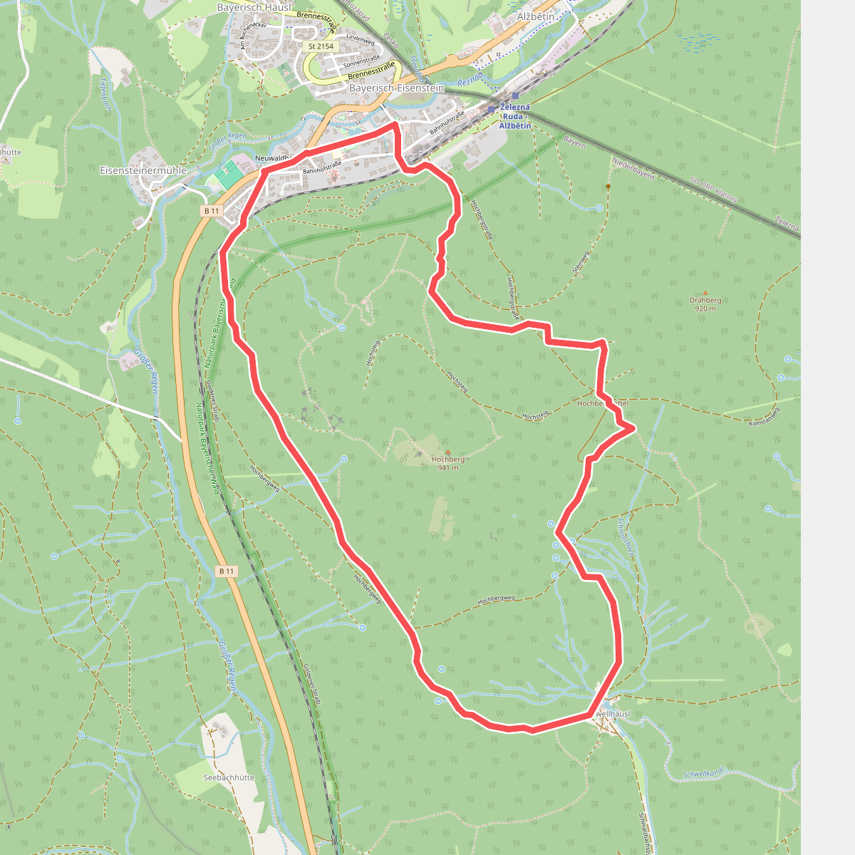
#1. Bussard
Bayerisch Eisenstein
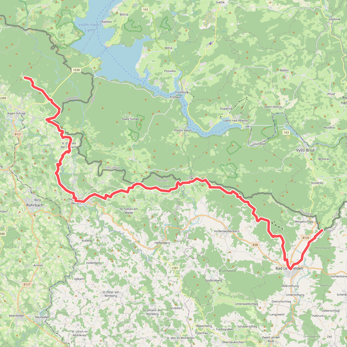
#2. Europäischer Fernwanderweg E10 (CZ-Grenze bis Bärenstein)
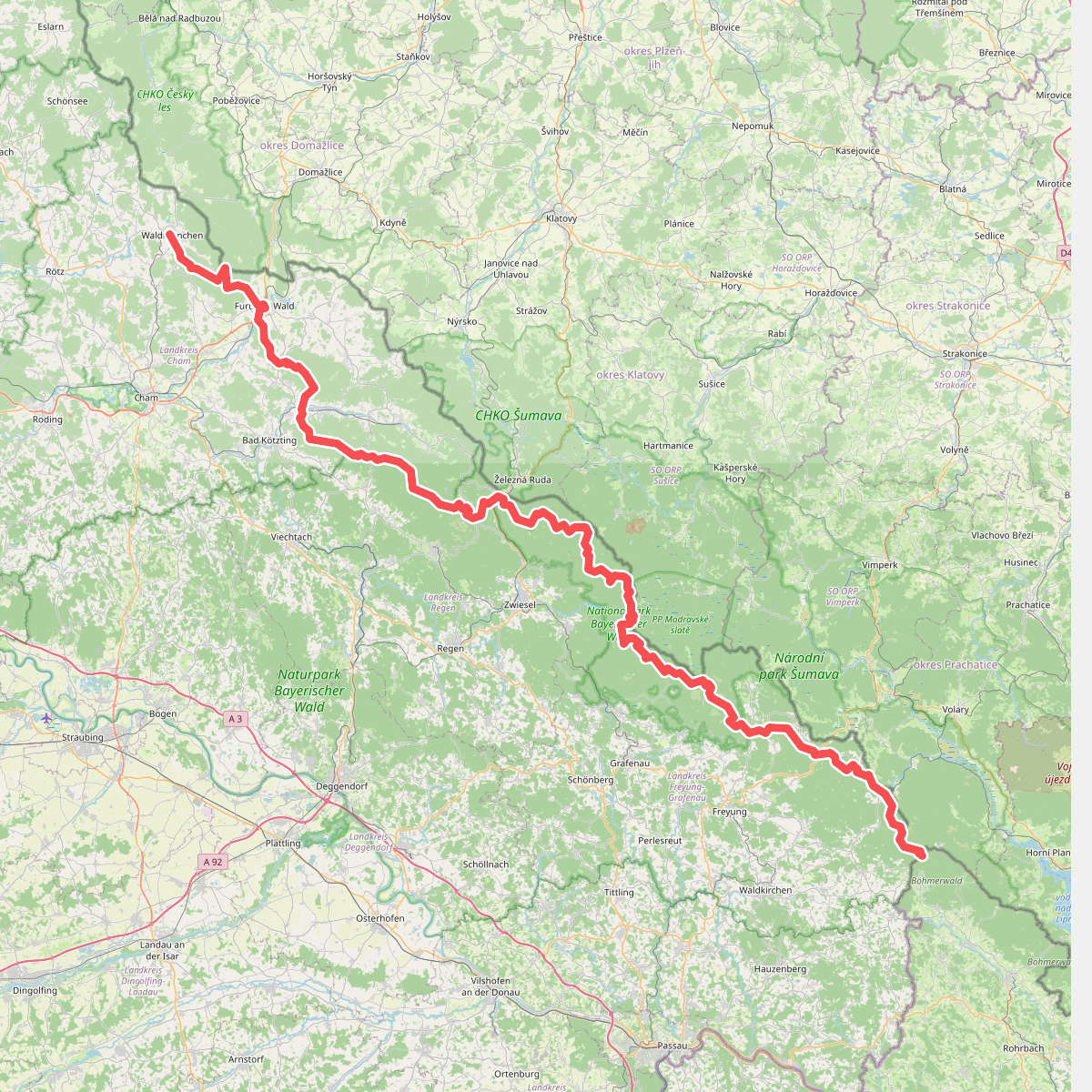
#3. Europäischer Fernwanderweg E6, Deutschland, Bayerischer Wald
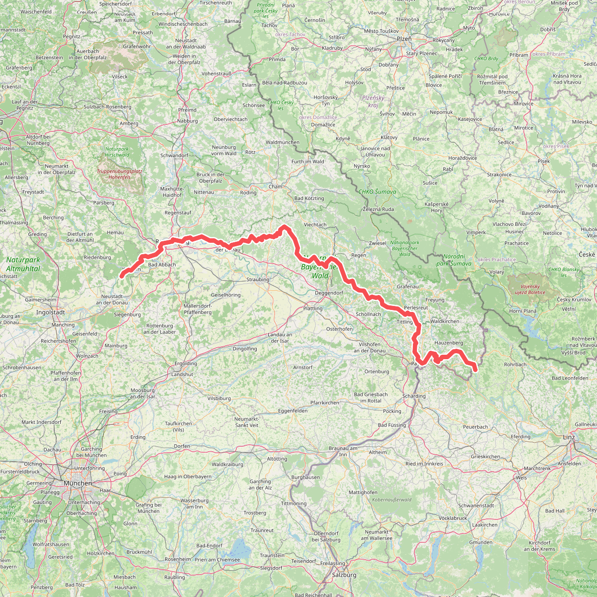
#4. Europäischer Fernwanderweg E8, Bayerischer Wald-Verein
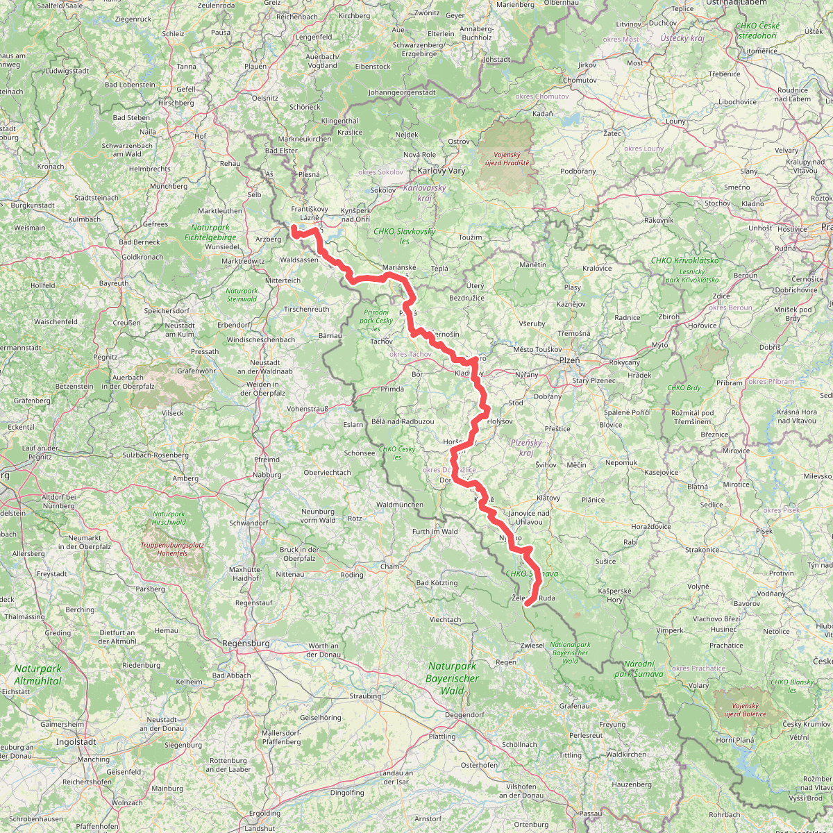
#5. European long distance path E6 - part Czech Republic
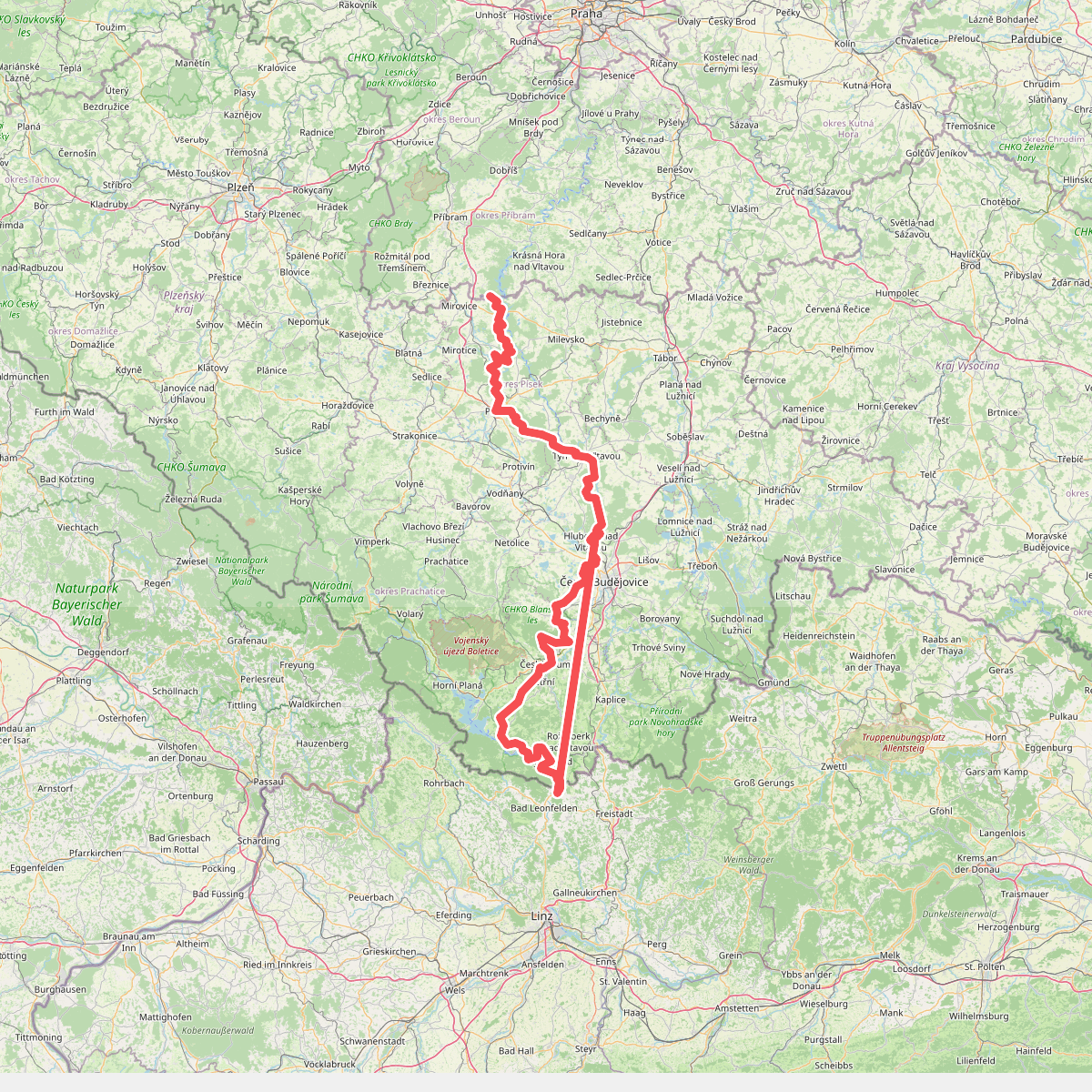
#6. Evropská dálková trasa E10, Česká republika, Jižní Čechy
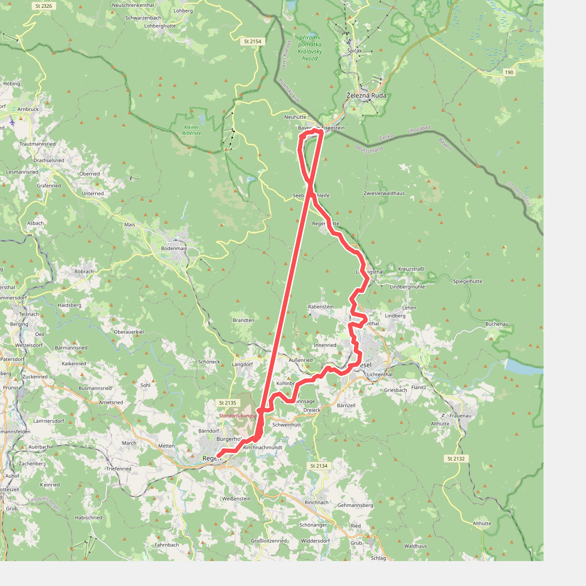
#7. Flusswanderweg Schwarzer Regen
Regen,Langdorf,Zwiesel,Lindberg,Bayerisch Eisenstein
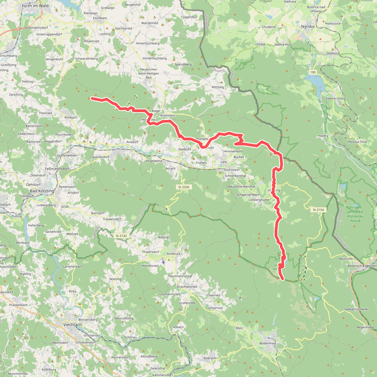
#8. Goldsteig Alternative Nr.13
Rimbach,Neukirchen beim Heiligen Blut,Hohenwarth,Arrach,Lam,Lohberg
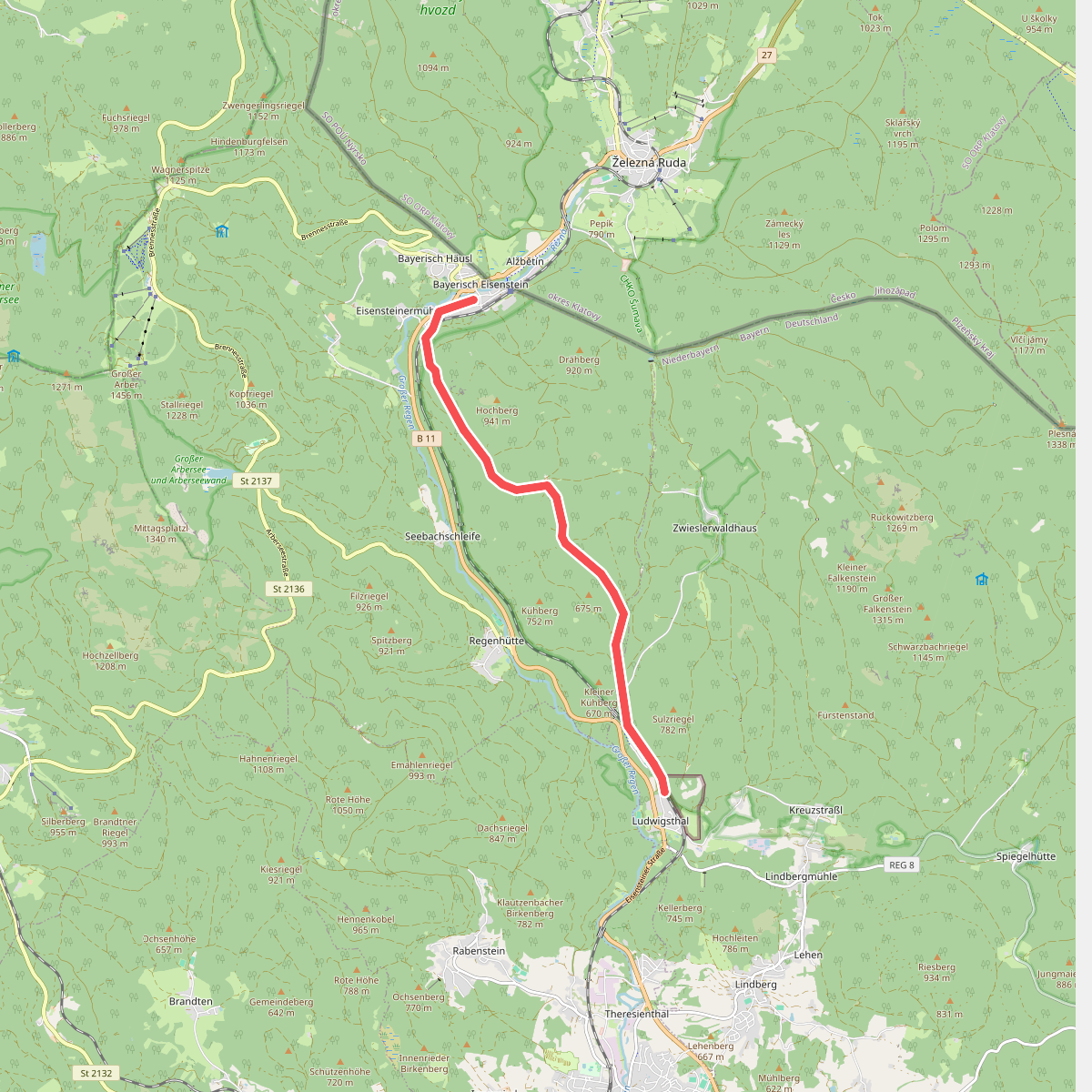
#9. Linde
Bayerisch Eisenstein,Lindberg
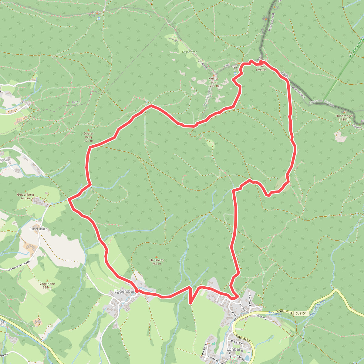
#10. Lo 1 Osserpfad (Lohberg)
Lohberg
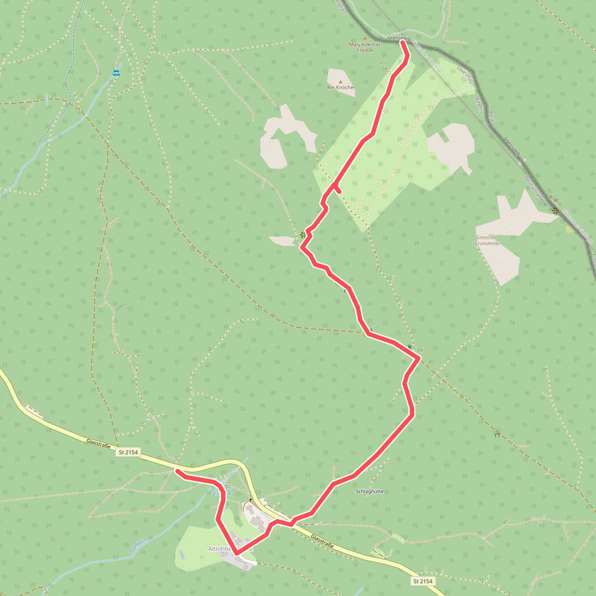
#11. Lo 8 Altlohberghütte – Grenzsteig (Lohberg)
Lohberg
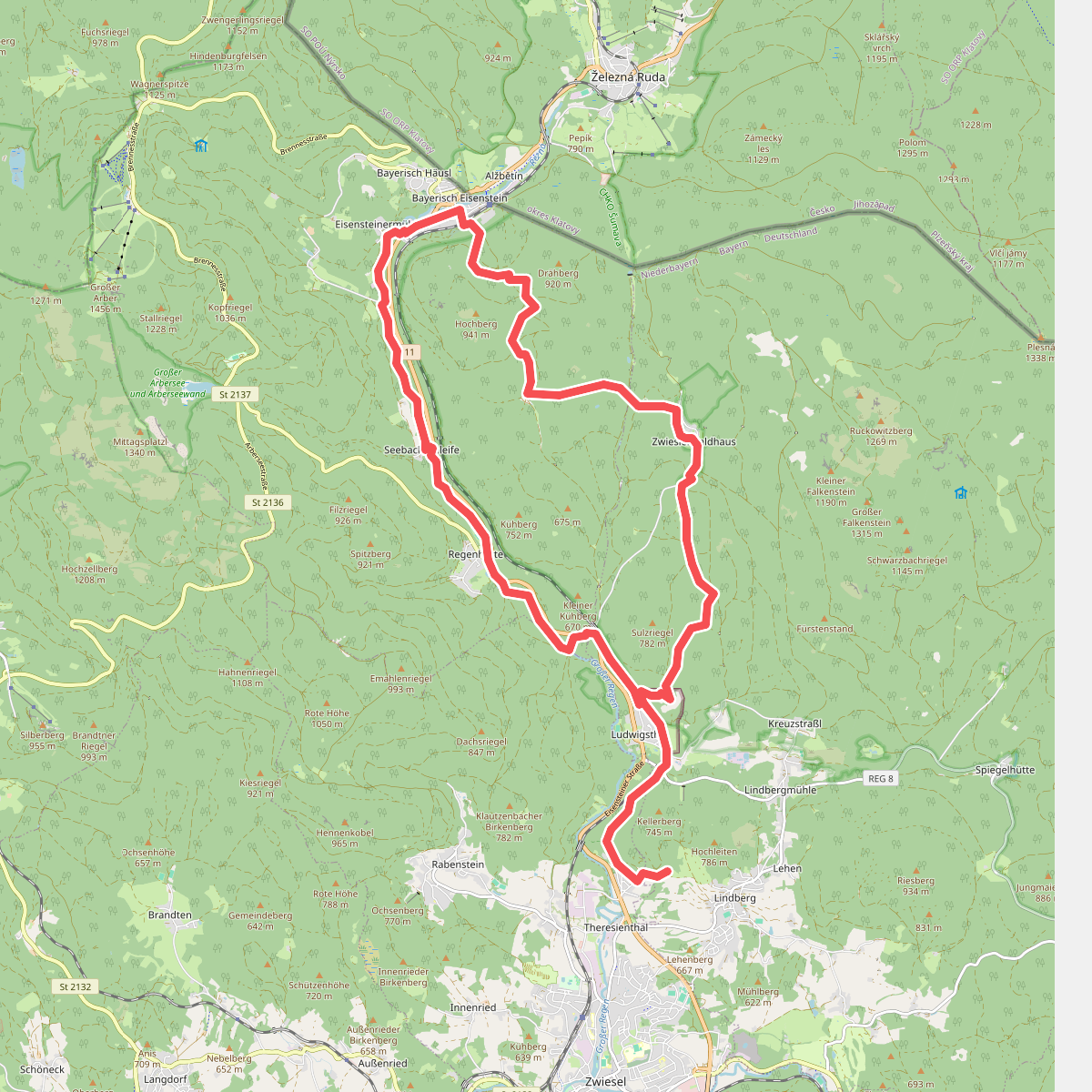
#12. Luchsfährte
Lindberg,Bayerisch Eisenstein,Zwiesel



