The best hiking routes in CHKO Soutok
Discover the best walks in CHKO Soutok. 1 routes on the map, with descriptions, photos and GPX.
About CHKO Soutok
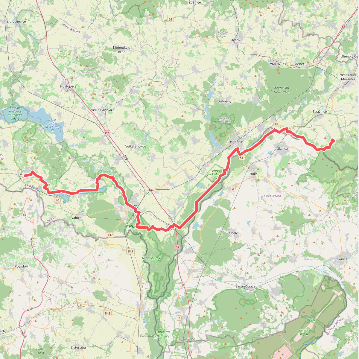
CHKO Soutok is a flat floodplain forest situated at the confluence of the Morava and Dyje rivers. Unlike typical hilly Czech forests, this landscape is defined by its level terrain, massive ancient oaks, and a dense network of river branches, pools, and seasonal meadows. Walking here means navigating a mix of paved forestry roads and unpaved, often muddy dirt tracks that follow the dikes and watercourses. The area is shaped by regular controlled flooding, which you will recognize by the high-water marks on the tree trunks and the wide, open meadows designed to hold overflow.
Read more
About CHKO Soutok
CHKO Soutok is a flat floodplain forest situated at the confluence of the Morava and Dyje rivers. Unlike typical hilly Czech forests, this landscape is defined by its level terrain, massive ancient oaks, and a dense network of river branches, pools, and seasonal meadows. Walking here means navigating a mix of paved forestry roads and unpaved, often muddy dirt tracks that follow the dikes and watercourses. The area is shaped by regular controlled flooding, which you will recognize by the high-water marks on the tree trunks and the wide, open meadows designed to hold overflow.
Read moreCHKO Soutok is a flat floodplain forest situated at the confluence of the Morava and Dyje rivers. Unlike typical hilly Czech forests, this landscape is defined by its level terrain, massive ancient oaks, and a dense network of river branches, pools, and seasonal meadows. Walking here means navigating a mix of paved forestry roads and unpaved, often muddy dirt tracks that follow the dikes and watercourses. The area is shaped by regular controlled flooding, which you will recognize by the high-water marks on the tree trunks and the wide, open meadows designed to hold overflow.
Underfoot, the paths consist of soft alluvial clay and sandy soil, which can become heavy and waterlogged after high water levels, particularly in spring. The forest canopy is dominated by broad-leaved trees that create a dense shade in summer, while the open meadows offer no protection from the sun. You will not find steep climbs, rocky viewpoints, or deep valleys in this reserve; the elevation changes are virtually non-existent, making it a choice for those who prefer long, flat distance walks.
Because of its size and remote location on the border, the deeper parts of the floodplain are often quiet, though the access points near Břeclav can be busier with cyclists. The landscape is dotted with historical hunting lodges and archaeological sites, but the primary feature remains the wet forest itself. Visitors should prepare for a flat, damp environment where navigation relies on following the marked dykes and avoiding the seasonal pools that cut across the smaller paths.