The best hiking routes in CHKO Orlické hory
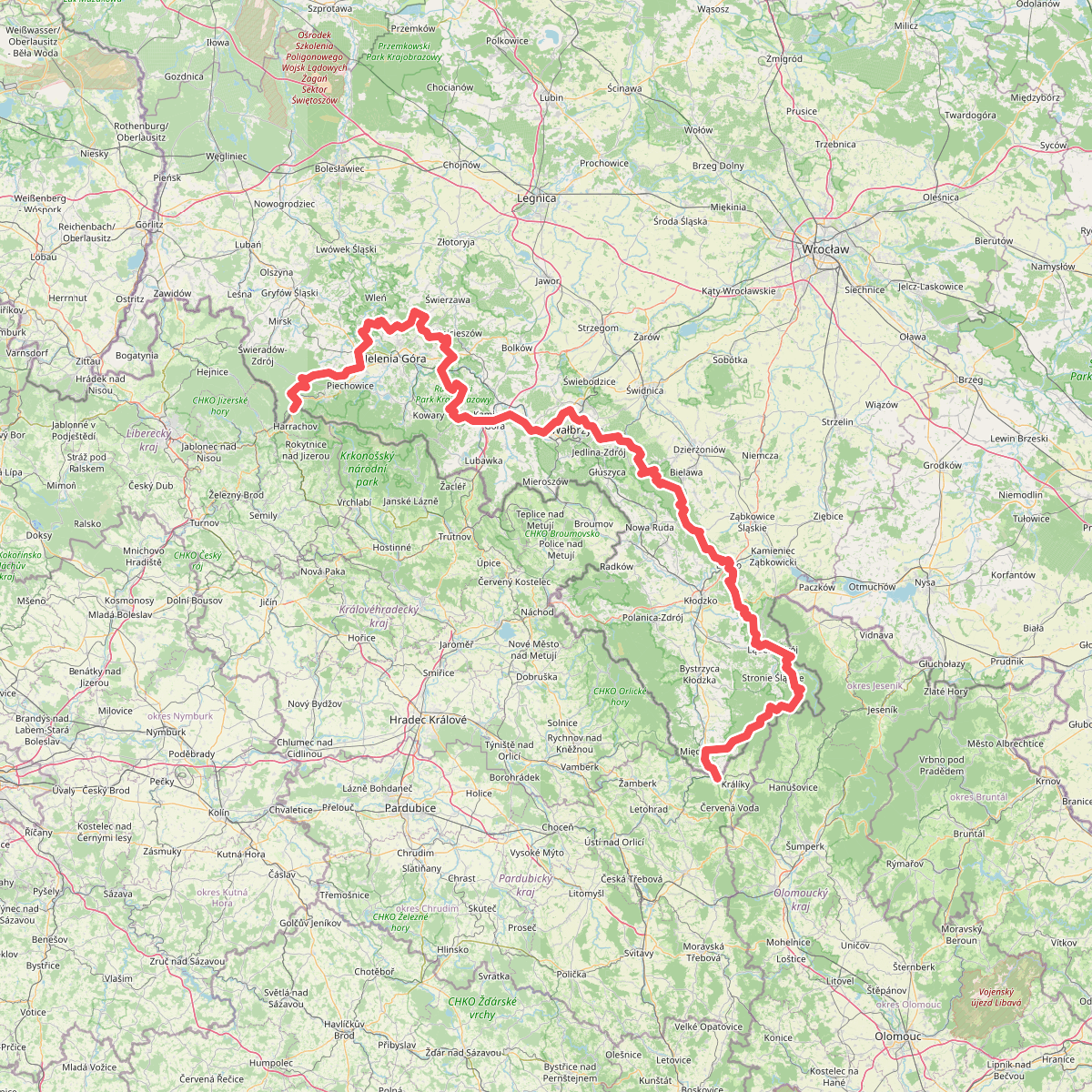
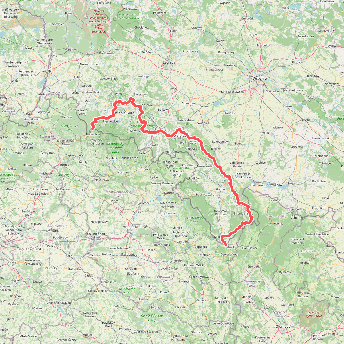
Discover the best walks in CHKO Orlické hory. 2 routes on the map, with descriptions, photos and GPX.
About CHKO Orlické hory
CHKO Orlické hory is characterized by a long, gently rounded mountain ridge that lacks the dramatic, jagged peaks of higher European ranges. Walkers here will find a landscape of soft, rolling crests covered by deep spruce forests, which open up into wide mountain meadows around traditional timbered cottages. The main ridge runs parallel to the Polish border, creating a distinct linear geography where most trails follow the spine of the hills or descend into the parallel river valleys. Underfoot, the paths vary from soft forest loam and pine needles to stony tracks and occasional asphalt forestry roads.
Read more
About CHKO Orlické hory
CHKO Orlické hory is characterized by a long, gently rounded mountain ridge that lacks the dramatic, jagged peaks of higher European ranges. Walkers here will find a landscape of soft, rolling crests covered by deep spruce forests, which open up into wide mountain meadows around traditional timbered cottages. The main ridge runs parallel to the Polish border, creating a distinct linear geography where most trails follow the spine of the hills or descend into the parallel river valleys. Underfoot, the paths vary from soft forest loam and pine needles to stony tracks and occasional asphalt forestry roads.
Read moreCHKO Orlické hory is characterized by a long, gently rounded mountain ridge that lacks the dramatic, jagged peaks of higher European ranges. Walkers here will find a landscape of soft, rolling crests covered by deep spruce forests, which open up into wide mountain meadows around traditional timbered cottages. The main ridge runs parallel to the Polish border, creating a distinct linear geography where most trails follow the spine of the hills or descend into the parallel river valleys. Underfoot, the paths vary from soft forest loam and pine needles to stony tracks and occasional asphalt forestry roads.
The bedrock of gneiss and mica schist shapes the drainage of the area, resulting in peat bogs and wet mountain meadows on the flatter plateaus. On these damp upland sections, hikers will encounter wooden boardwalks designed to protect the fragile bog vegetation, while the steeper slopes feature drier, rocky paths cutting through beech and spruce woods. The transition from the dark, dense coniferous plantations to the bright, open peatlands is a constant feature of a walk along the main ridge trail.
In late May and June, the mountain meadows are marked by the bright yellow blooms of globeflowers, a distinct seasonal feature of these damp upland pastures. While the main ridge trail, particularly around the Masarykova chata mountain chalet, attracts more visitors, the deeper forested valleys and the southern sections of the protected area offer a much quieter walking experience. This is a landscape for steady, rhythmic hill walking rather than technical climbing, where the appeal lies in the transition between deep woodland shade and open, breezy ridge pastures.