The best hiking routes in CHKO Lužické hory
Discover the best walks in CHKO Lužické hory. 61 routes on the map, with descriptions, photos and GPX.
About CHKO Lužické hory
CHKO LuŹick hory offers a distinct landscape of dome-shaped volcanic hills covered in dense beech and spruce forests, contrasting sharply with the sandstone canyons found in neighboring regions. Walkers will notice how the terrain changes rapidly from dark, basalt summits to soft sandstone valleys. The paths underfoot transition from loose, dark volcanic scree on the steeper climbs to soft pine-needle tracks and sandy soil in the lower glades. This is a landscape of rounded, medium-altitude peaks rather than sharp ridges or deep gorges.
Read more
About CHKO Lužické hory
CHKO LuŹick hory offers a distinct landscape of dome-shaped volcanic hills covered in dense beech and spruce forests, contrasting sharply with the sandstone canyons found in neighboring regions. Walkers will notice how the terrain changes rapidly from dark, basalt summits to soft sandstone valleys. The paths underfoot transition from loose, dark volcanic scree on the steeper climbs to soft pine-needle tracks and sandy soil in the lower glades. This is a landscape of rounded, medium-altitude peaks rather than sharp ridges or deep gorges.
Read moreCHKO LuŹick hory offers a distinct landscape of dome-shaped volcanic hills covered in dense beech and spruce forests, contrasting sharply with the sandstone canyons found in neighboring regions. Walkers will notice how the terrain changes rapidly from dark, basalt summits to soft sandstone valleys. The paths underfoot transition from loose, dark volcanic scree on the steeper climbs to soft pine-needle tracks and sandy soil in the lower glades. This is a landscape of rounded, medium-altitude peaks rather than sharp ridges or deep gorges.
As you walk, the geology is highly visible. Dark basalt columns, resembling organ pipes, break through the forest floor on hills like Zlat vrch, showing how volcanic activity shaped this region. In the valleys, traditional timber-framed cottages with slate roofs sit alongside small meadows, giving the area a lived-in, rural character. The trails are generally well-marked, though the climbs up the individual peaks can be steep and uneven.
While the most famous summits like LuŹ can attract more visitors on weekends, much of the surrounding forest remains quiet. In October, the beech forests turn a deep copper color, making autumn a particularly visual time to explore the woodland tracks. There are no high alpine meadows here, but the dense canopy and sudden rocky outcrops provide a varied, enclosed forest walking experience.
Hiking routes in CHKO Lužické hory (61)
![[Č] Brtníky (žst.) - Lesné](https://wandelweb.fsn1.your-objectstorage.com/tracks/static-maps/37720-1779135169-large.png)
#1. [Č] Brtníky (žst.) - Lesné
Staré Křečany,Krásná Lípa,Rybniště,Jiřetín pod Jedlovou
![[Č] Horní Sedlo - Pláně pod Ještědem](https://wandelweb.fsn1.your-objectstorage.com/tracks/static-maps/37304-1779134988-large.png)
#2. [Č] Horní Sedlo - Pláně pod Ještědem
Světlá pod Ještědem,Liberec,Kryštofovo Údolí,Křižany,Zdislava,Bílý Kostel nad Nisou,Rynoltice,Hrádek nad Nisou
![[Č] Jablonné v Podještědí - Nový Bor](https://wandelweb.fsn1.your-objectstorage.com/tracks/static-maps/37284-1779134981-large.png)
#3. [Č] Jablonné v Podještědí - Nový Bor
Nový Bor,Svor,Cvikov,Mařenice,Jablonné v Podještědí
![[Č] Jetřichovice - Jedlová](https://wandelweb.fsn1.your-objectstorage.com/tracks/static-maps/37708-1779135162-large.png)
#4. [Č] Jetřichovice - Jedlová
Jiřetín pod Jedlovou,Kytlice,Česká Kamenice,Kunratice,Jetřichovice
![[Č] Lesné - Horní Sedlo](https://wandelweb.fsn1.your-objectstorage.com/tracks/static-maps/37306-1779134989-large.png)
#5. [Č] Lesné - Horní Sedlo
Jiřetín pod Jedlovou,Dolní Podluží,Mařenice,Großschönau,Krompach,Oybin,Jablonné v Podještědí,Hrádek nad Nisou
![[Č] Líska - Rabštejn](https://wandelweb.fsn1.your-objectstorage.com/tracks/static-maps/37264-1779134975-large.png)
#6. [Č] Líska - Rabštejn
Česká Kamenice,Prysk,Veselé
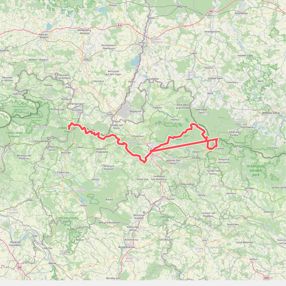
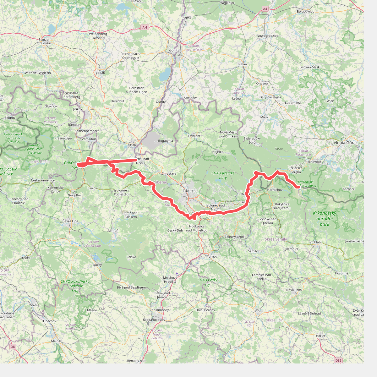
#7. European long distance path E3 - part Czech Republic, North East
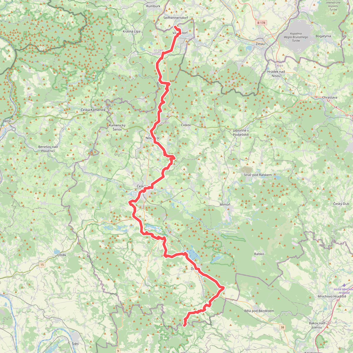
#8. Evropská dálková trasa E10, Česká republika, Severočeský kraj
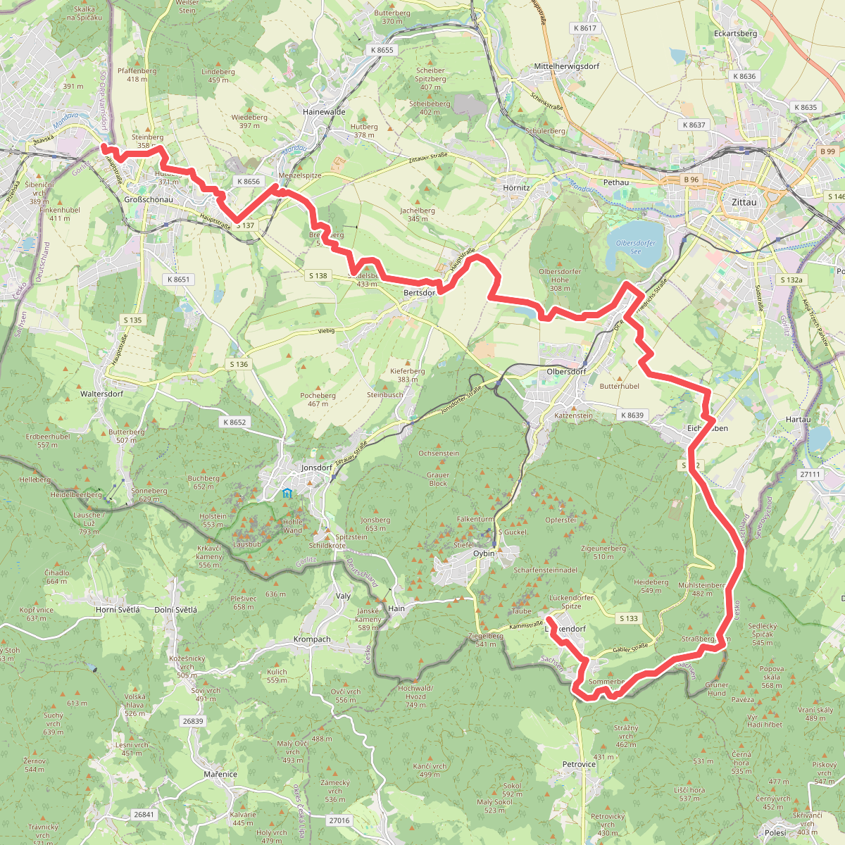
#9. Großschönau - Lückendorf
Oybin,Zittau,Hrádek nad Nisou,Olbersdorf,Bertsdorf-Hörnitz,Hainewalde,Großschönau
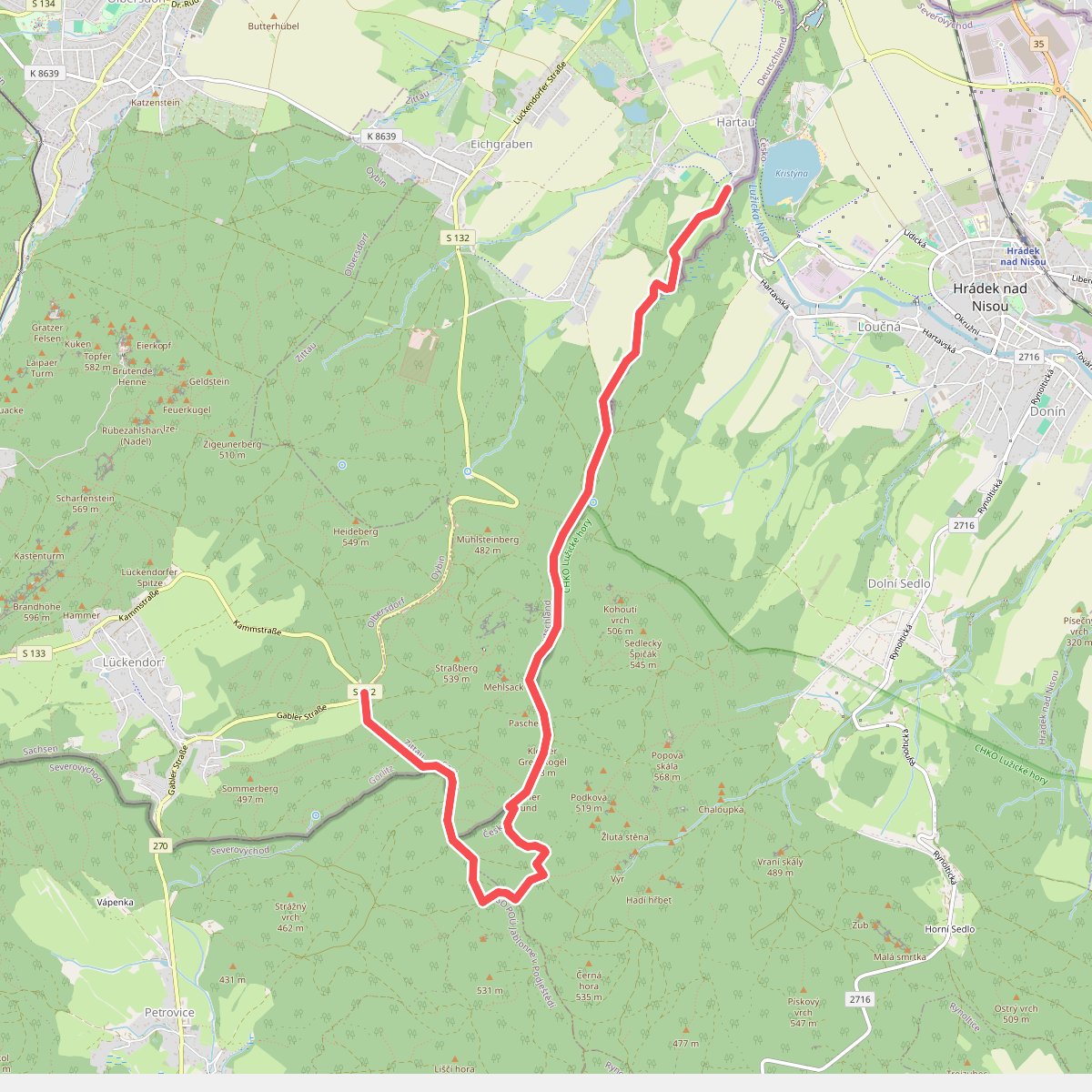
#10. Hartau-Forsthaus Lückendorf
Oybin,Zittau,Jablonné v Podještědí,Hrádek nad Nisou
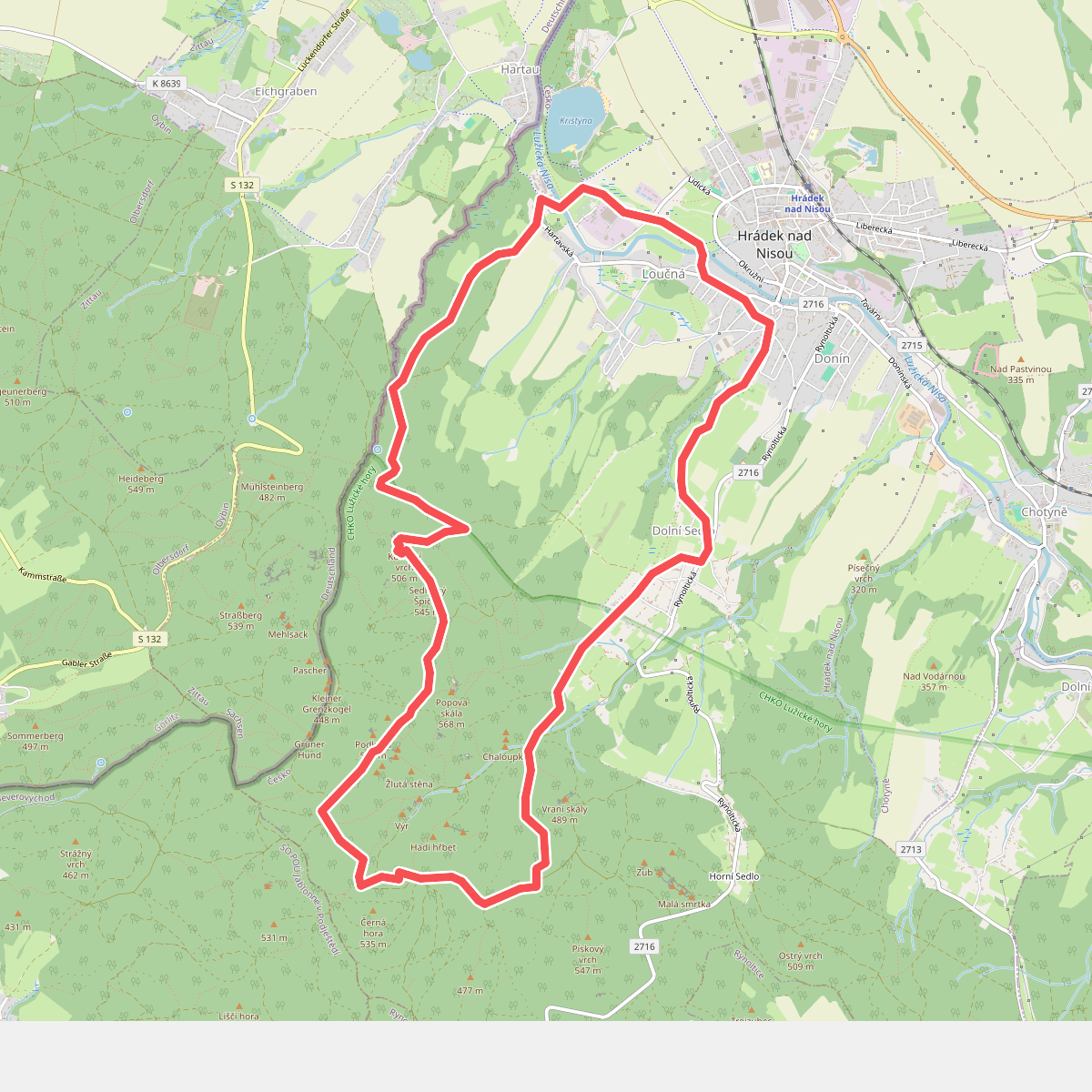
#11. Hrádecký vyhlídkový okruh
Hrádek nad Nisou