

The best hiking routes in CHKO Křivoklátsko
Discover the best walks in CHKO Křivoklátsko. 56 routes on the map, with descriptions, photos and GPX.
Managed by cz:AOPK
About CHKO Křivoklátsko
CHKO Křivoklátsko is defined by the deep, winding valley of the Berounka River and the dense, ancient broadleaf forests that cover the surrounding hills. Unlike the sandstone rock cities or pine-dominated plains found elsewhere in the Czech Republic, this area is characterized by steep, wooded slopes, rocky outcrops called pleše, and narrow side ravines. The landscape owes its shape to the river cutting through hard volcanic and sedimentary rocks, creating a dramatic contrast between the sheltered, humid valley floor and the dry, sun-baked clifftops.
Read more
About CHKO Křivoklátsko
CHKO Křivoklátsko is defined by the deep, winding valley of the Berounka River and the dense, ancient broadleaf forests that cover the surrounding hills. Unlike the sandstone rock cities or pine-dominated plains found elsewhere in the Czech Republic, this area is characterized by steep, wooded slopes, rocky outcrops called pleše, and narrow side ravines. The landscape owes its shape to the river cutting through hard volcanic and sedimentary rocks, creating a dramatic contrast between the sheltered, humid valley floor and the dry, sun-baked clifftops.
Read moreCHKO Křivoklátsko is defined by the deep, winding valley of the Berounka River and the dense, ancient broadleaf forests that cover the surrounding hills. Unlike the sandstone rock cities or pine-dominated plains found elsewhere in the Czech Republic, this area is characterized by steep, wooded slopes, rocky outcrops called pleše, and narrow side ravines. The landscape owes its shape to the river cutting through hard volcanic and sedimentary rocks, creating a dramatic contrast between the sheltered, humid valley floor and the dry, sun-baked clifftops.
Underfoot, walkers will mostly encounter earthen forest tracks, stony paths strewn with slate debris, and occasional muddy sections near the tributary streams. The terrain requires steady footing, as the trails frequently climb and descend through the ravines rather than staying on flat ground. While there are no high mountain peaks or alpine meadows, the constant elevation changes provide a surprisingly strenuous walk through a continuous canopy of oak, hornbeam, and beech trees.
In October, the deciduous canopy turns vibrant shades of yellow and red, making the forest interior exceptionally bright before the leaves drop. The most popular viewpoints overlooking the river bends can attract crowds on weekends, but the deeper forest network remains quiet. Walkers should expect a rustic, densely forested experience where the views are often framed by branches rather than wide-open horizons.
Hiking routes in CHKO Křivoklátsko (56)
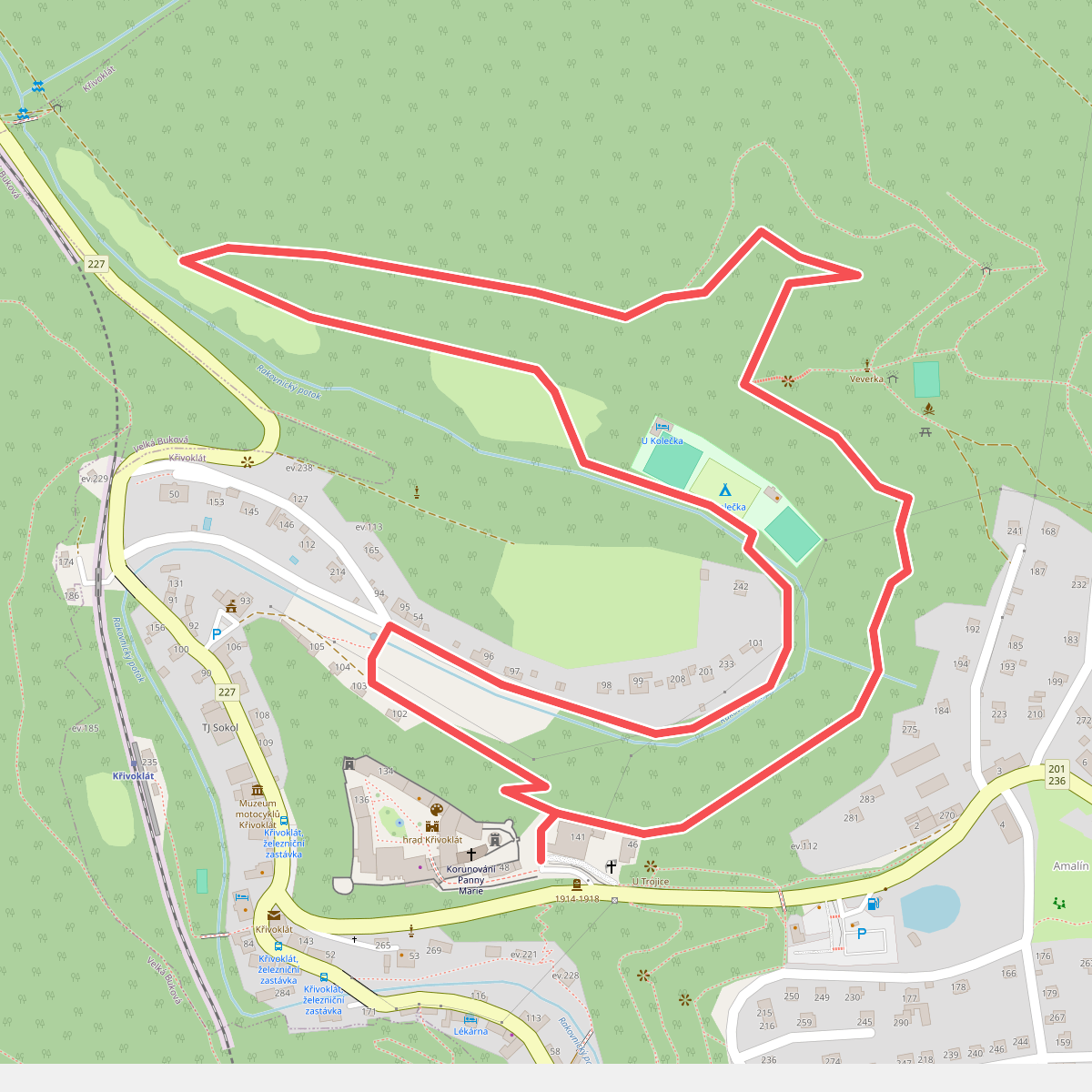
#1. Bednářská stezka
Křivoklát
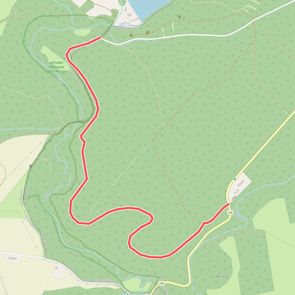
#2. Bývalá koněspřežka
Ruda,Lány
![[Č] Beroun - Nový Jáchymov](https://wandelweb.fsn1.your-objectstorage.com/tracks/static-maps/35794-1779134376-large.png)
#3. [Č] Beroun - Nový Jáchymov
Nový Jáchymov,Hudlice,Nižbor,Králův Dvůr,Beroun
![[Č] Kalinova Ves - Nižbor](https://wandelweb.fsn1.your-objectstorage.com/tracks/static-maps/35765-1779134364-large.png)
#4. [Č] Kalinova Ves - Nižbor
Zvíkovec,Hradiště,Čilá,Skryje,Hřebečníky,Hracholusky,Nezabudice,Velká Buková,Roztoky,Zbečno,Račice,Nižbor
![[Č] Krašovice - Machův Mlýn](https://wandelweb.fsn1.your-objectstorage.com/tracks/static-maps/35751-1779134352-large.png)
#5. [Č] Krašovice - Machův Mlýn
Krašovice,Bučí,Mrtník,Plasy,Kralovice,Kožlany,Břežany,Šípy,Slatina
![[Č] Lány - Křivoklát](https://wandelweb.fsn1.your-objectstorage.com/tracks/static-maps/36053-1779134483-large.png)
#6. [Č] Lány - Křivoklát
Lány,Lhota,Běleč,Zbečno,Křivoklát
![[Č] Leontýnský zámek - Na Chrastech](https://wandelweb.fsn1.your-objectstorage.com/tracks/static-maps/35777-1779134370-large.png)
#7. [Č] Leontýnský zámek - Na Chrastech
Roztoky,Broumy,Hředle,Točník,Drozdov,Líšná
![[Č] Loděnice - Nové Strašecí](https://wandelweb.fsn1.your-objectstorage.com/tracks/static-maps/35820-1779134384-large.png)
#8. [Č] Loděnice - Nové Strašecí
Nové Strašecí,Mšecké Žehrovice,Stochov,Kačice,Tuchlovice,Kamenné Žehrovice,Doksy,Družec,Bratronice,Horní Bezděkov,Malé Kyšice,Unhošť,Chyňava,Svárov,Ptice,Úhonice,Nenačovice,Chrustenice,Loděnice
![[Č] Okružní trasa Keltské Oppidum Stradonice](https://wandelweb.fsn1.your-objectstorage.com/tracks/static-maps/35803-1779134379-large.png)
#9. [Č] Okružní trasa Keltské Oppidum Stradonice
Nižbor
![[Č] Rakovník - Dolní Ročov](https://wandelweb.fsn1.your-objectstorage.com/tracks/static-maps/36055-1779134484-large.png)
#10. [Č] Rakovník - Dolní Ročov
Rakovník,Pavlíkov,Lužná,Krušovice,Hředle,Třeboc
![[Č] Rakovník - Křivoklát](https://wandelweb.fsn1.your-objectstorage.com/tracks/static-maps/36056-1779134484-large.png)
#11. [Č] Rakovník - Křivoklát
Rakovník,Pavlíkov,Pustověty,Velká Buková,Křivoklát
![[Č] Volduchy - Kalinova Ves](https://wandelweb.fsn1.your-objectstorage.com/tracks/static-maps/35586-1779134292-large.png)
#12. [Č] Volduchy - Kalinova Ves
Volduchy,Osek,Březina,Přívětice,Radnice,Kamenec,Lhotka u Radnic,Hlohovice,Bujesily,Bohy,Kladruby,Chlum,Zvíkovec



