

The best hiking routes in CHKO Český les
Discover the best walks in CHKO Český les. 69 routes on the map, with descriptions, photos and GPX.
About CHKO Český les
CHKO Āeský les covers a long, forested borderland ridge that lacks the dramatic rocky peaks or deep gorges found in other Czech mountain ranges. Instead, you will walk through a landscape of gently rolling hills, dense spruce and beech forests, and wide, quiet clearings. Because this area was part of the strictly guarded border zone during the Cold War, many villages disappeared entirely. Today, you will notice these former settlements as open meadows, overgrown orchards, and old stone foundations slowly being reclaimed by the forest along the trails.
Read more
About CHKO Český les
CHKO Āeský les covers a long, forested borderland ridge that lacks the dramatic rocky peaks or deep gorges found in other Czech mountain ranges. Instead, you will walk through a landscape of gently rolling hills, dense spruce and beech forests, and wide, quiet clearings. Because this area was part of the strictly guarded border zone during the Cold War, many villages disappeared entirely. Today, you will notice these former settlements as open meadows, overgrown orchards, and old stone foundations slowly being reclaimed by the forest along the trails.
Read moreCHKO Āeský les covers a long, forested borderland ridge that lacks the dramatic rocky peaks or deep gorges found in other Czech mountain ranges. Instead, you will walk through a landscape of gently rolling hills, dense spruce and beech forests, and wide, quiet clearings. Because this area was part of the strictly guarded border zone during the Cold War, many villages disappeared entirely. Today, you will notice these former settlements as open meadows, overgrown orchards, and old stone foundations slowly being reclaimed by the forest along the trails.
Underfoot, the terrain consists mostly of unpaved forestry tracks, gravel roads, and grassy paths. Some sections can be muddy, particularly where the trail crosses peat bogs or small streams on simple wooden footbridges. The lack of steep climbs makes it a physically accessible area for long-distance walking, though the sheer scale of the forest means services and shelters are far apart. You will need to carry your own provisions, as there are very few mountain huts or villages inside the protected area.
In late spring, around May, the open meadows of the former border strip are filled with flowering wild plants, making the contrast between the dark forest and the bright clearings especially visible. While the most famous trailheads can see some visitors on weekends, the vast majority of the forest tracks remain quiet and empty. It is a destination suited for those who prefer long, solitary walks through recovering woodlands rather than dramatic viewpoints or alpine terrain.
Hiking routes in CHKO Český les (69)
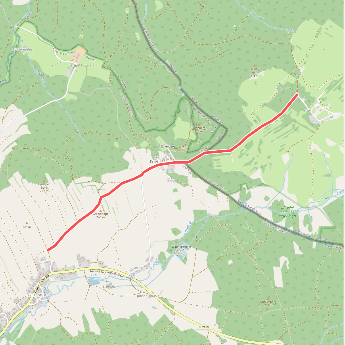
#1. 3 Nepomukweg
Bělá nad Radbuzou,Schönsee
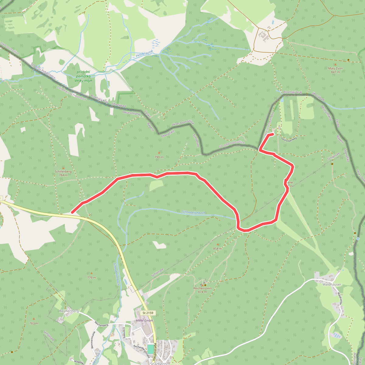
#2. 41 Bügellohweg
Schönsee,Stadlern
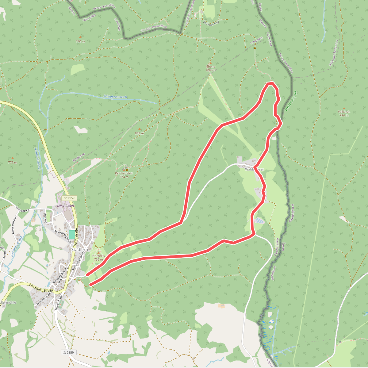
#3. 432 Goldbrunnenweg
Stadlern
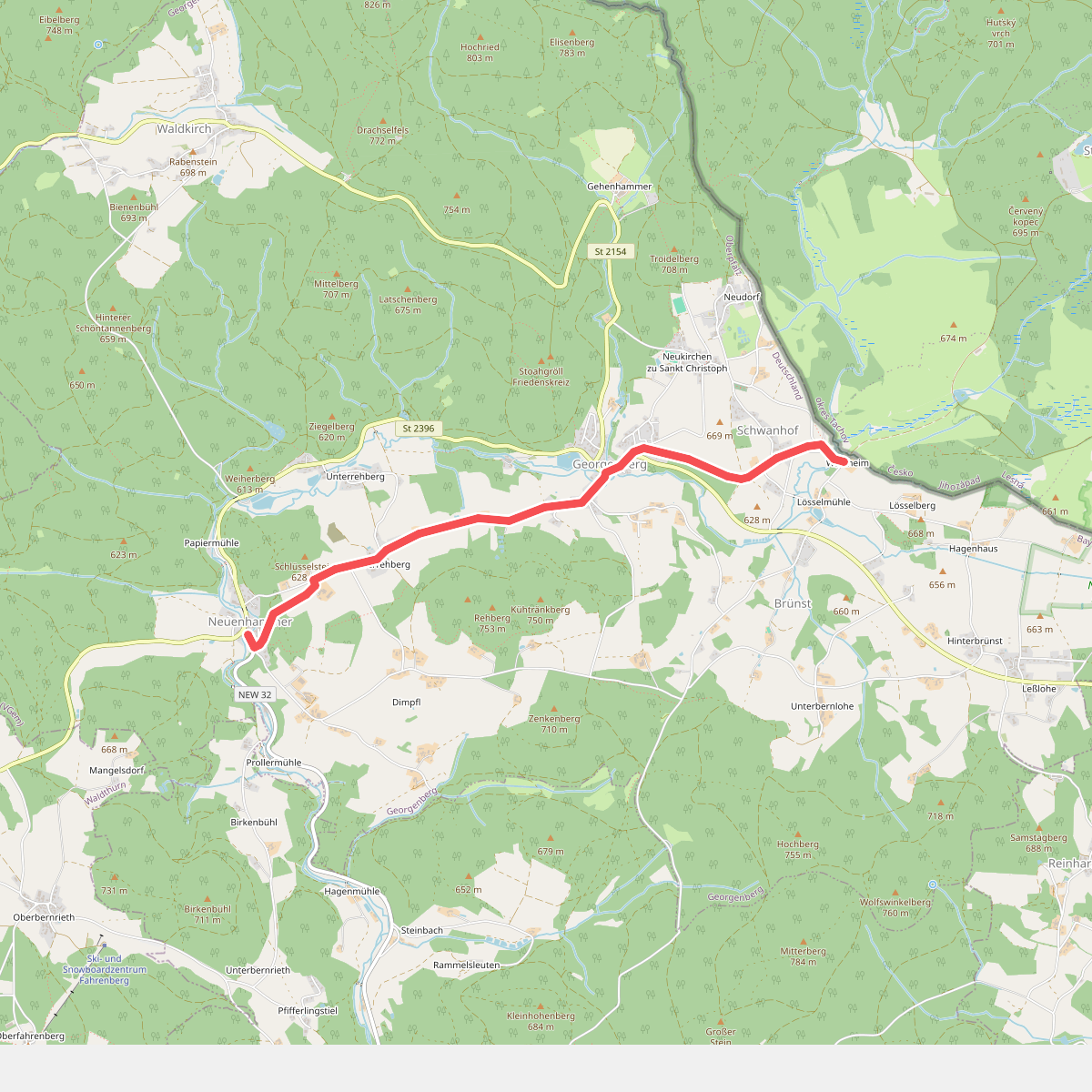
#4. Alte Heerstraße
Georgenberg
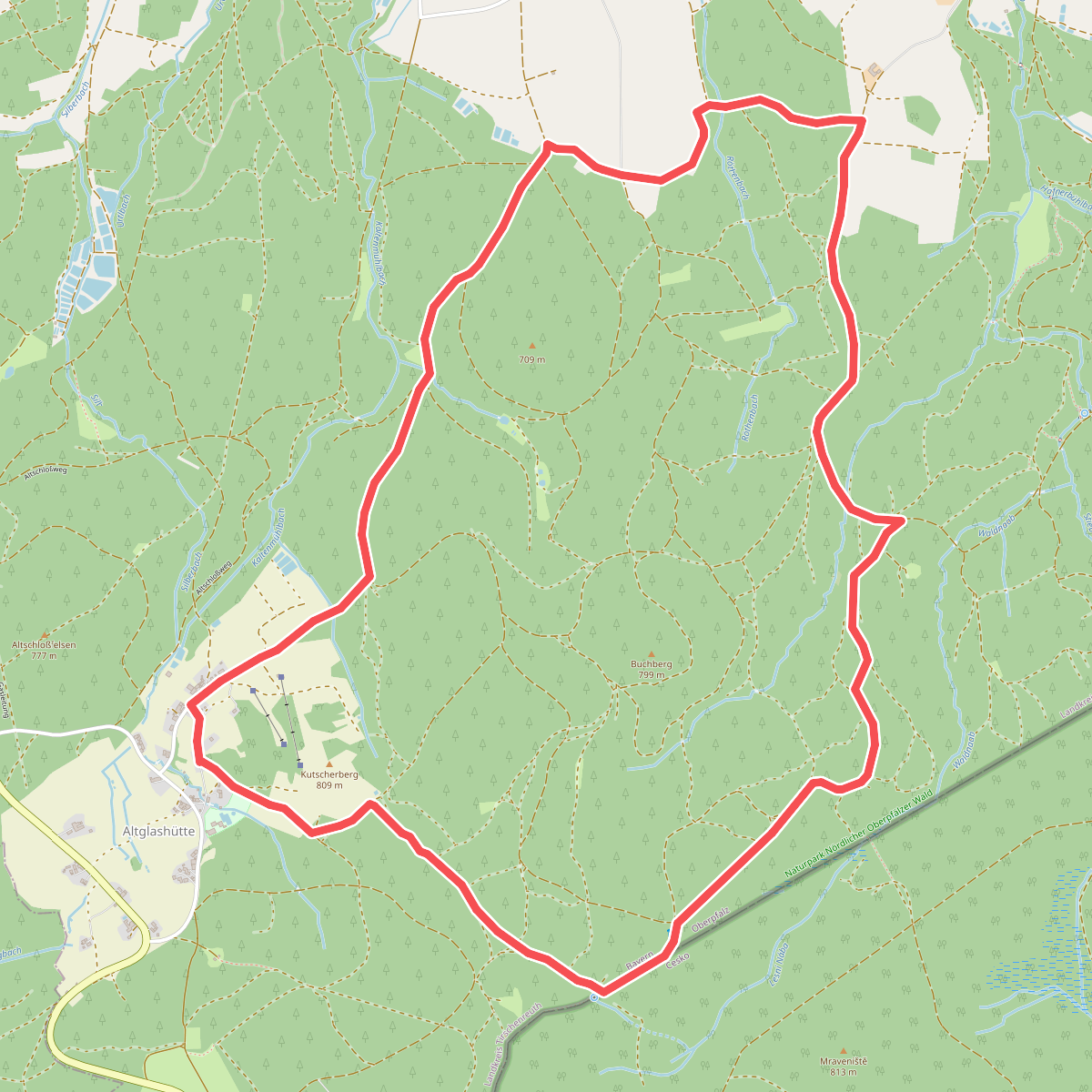
#5. Bärnau Rundweg 1: Zur Altglashütte und zur Waldnaabquelle
Bärnau
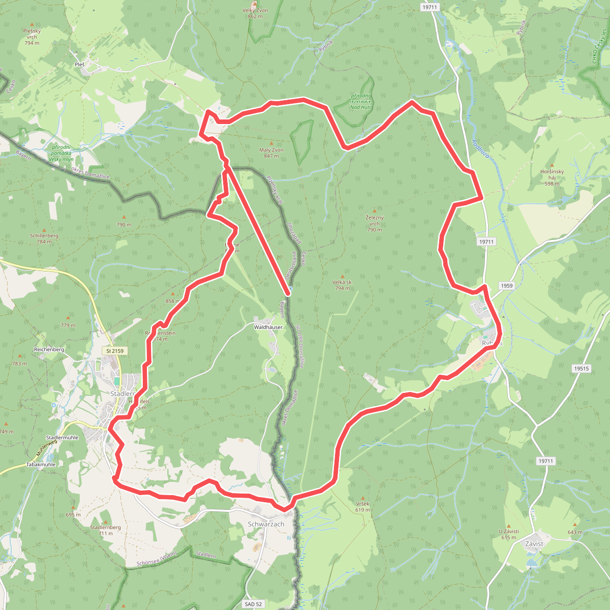
#6. Bayern-Böhmen-Runde 1
Stadlern,Schönsee,Rybník,Bělá nad Radbuzou
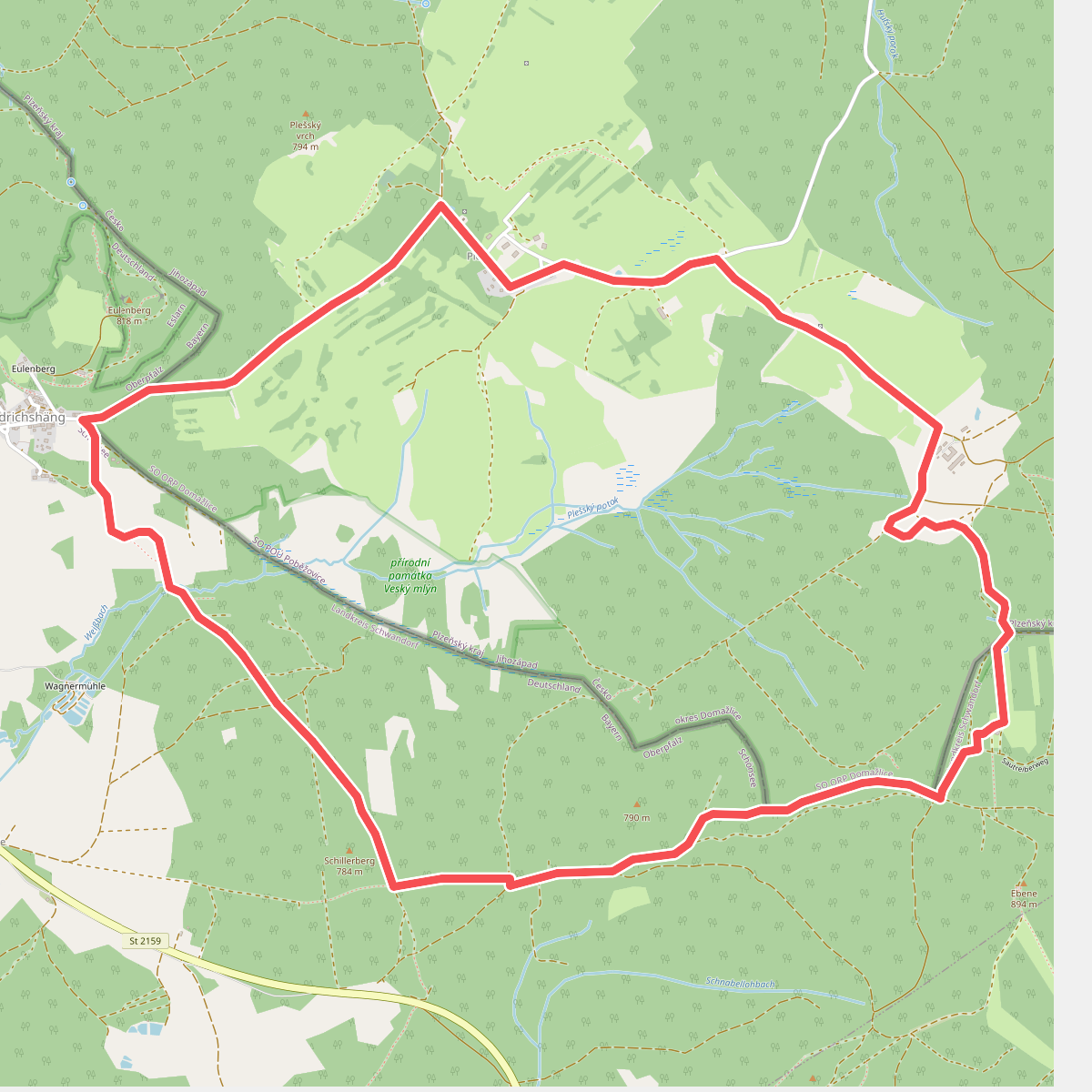
#7. Bayern-Böhmen-Runde 2
Schönsee,Bělá nad Radbuzou
![[Č] Baarova cesta](https://wandelweb.fsn1.your-objectstorage.com/tracks/static-maps/35354-1779134168-large.png)
#8. [Č] Baarova cesta
Bělá nad Radbuzou,Rybník,Nemanice,Mnichov,Postřekov,Klenčí pod Čerchovem
![[Č] Broumov - Železná](https://wandelweb.fsn1.your-objectstorage.com/tracks/static-maps/35353-1779134167-large.png)
#9. [Č] Broumov - Železná
Halže,Obora,Lesná,Rozvadov,Třemešné,Bělá nad Radbuzou
![[Č] NS Příhraniční (okružní)](https://wandelweb.fsn1.your-objectstorage.com/tracks/static-maps/35551-1779134274-large.png)
#10. [Č] NS Příhraniční (okružní)
Rozvadov
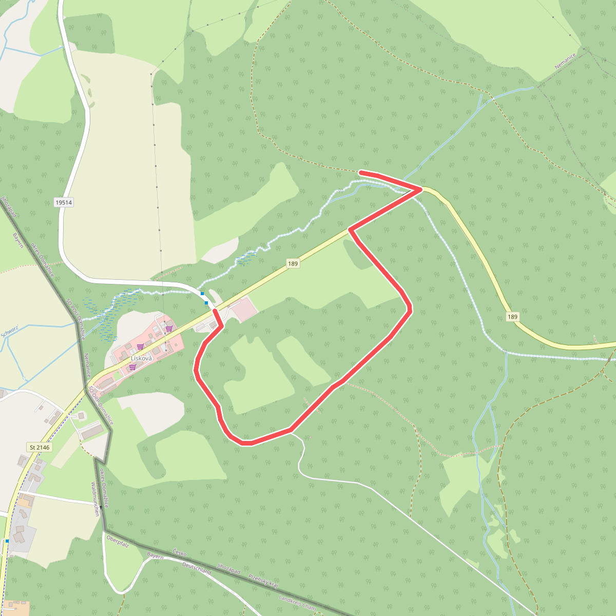
#11. Česko-německá naučná stezka
Nemanice
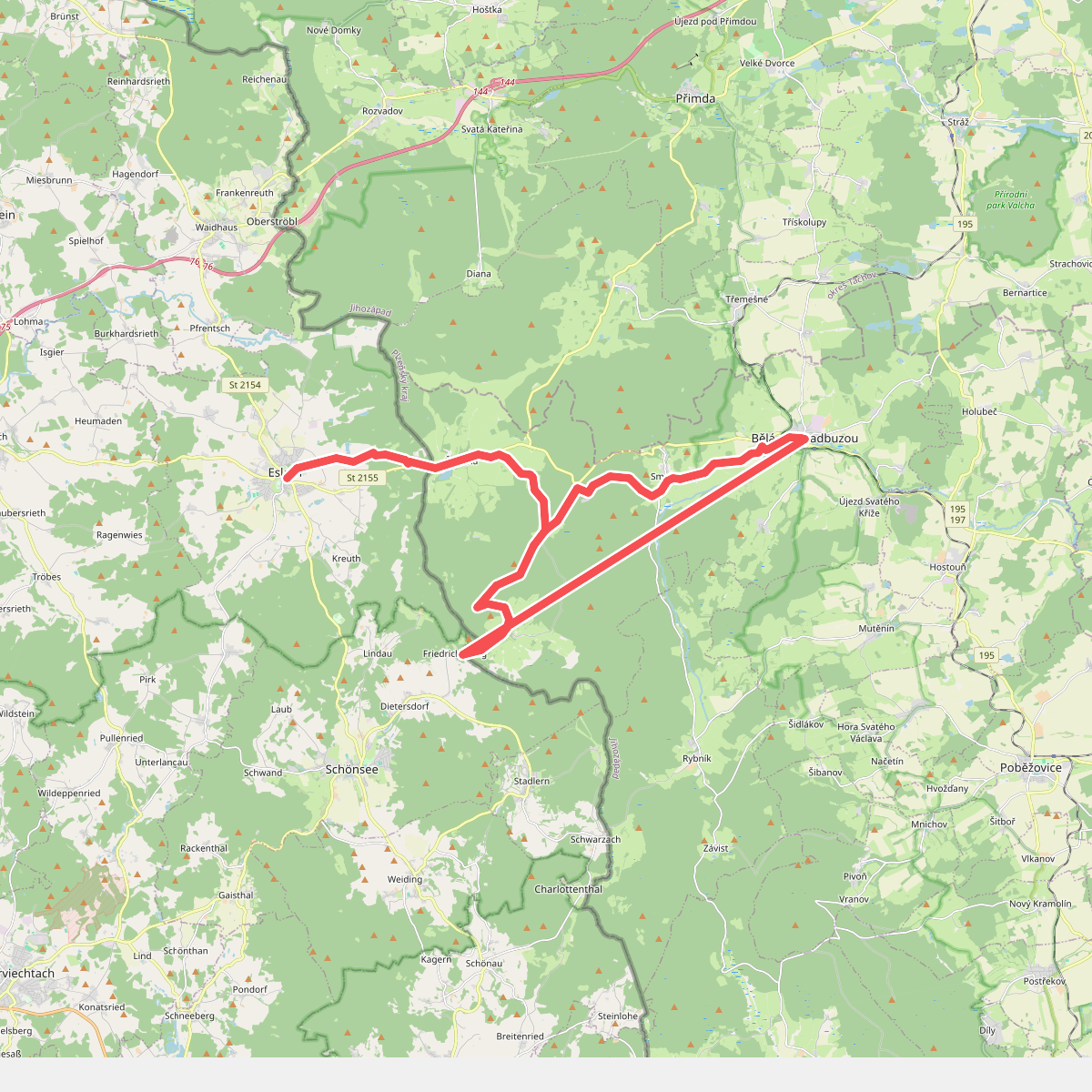
#12. Eslarn - Bělá nad Radbuzou
Eslarn,Bělá nad Radbuzou,Schönsee



