The best hiking routes in Champlas - Colle Sestriere
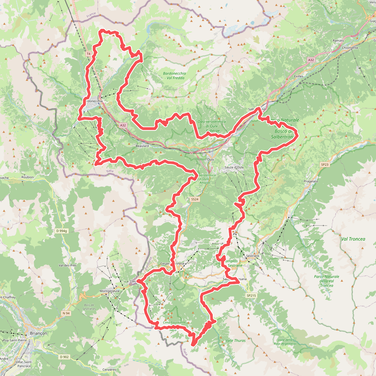
Discover the best walks in Champlas - Colle Sestriere. 2 routes on the map, with descriptions, photos and GPX.
Managed by Natura 2000
About Champlas - Colle Sestriere
Champlas - Colle Sestriere covers a high-altitude mountain shelf where subalpine meadows meet larch forests and rocky scree. Unlike the manicured ski slopes nearby, this Natura 2000 site preserves a more rugged, traditional pasture landscape. The terrain is defined by steep limestone slopes, open grassy ridges, and patches of dense coniferous woodland that cling to the hillsides. Walkers will notice how the vegetation changes rapidly with elevation, shifting from shaded forest paths to exposed alpine grassland.
Read more
About Champlas - Colle Sestriere
Champlas - Colle Sestriere covers a high-altitude mountain shelf where subalpine meadows meet larch forests and rocky scree. Unlike the manicured ski slopes nearby, this Natura 2000 site preserves a more rugged, traditional pasture landscape. The terrain is defined by steep limestone slopes, open grassy ridges, and patches of dense coniferous woodland that cling to the hillsides. Walkers will notice how the vegetation changes rapidly with elevation, shifting from shaded forest paths to exposed alpine grassland.
Read moreChamplas - Colle Sestriere covers a high-altitude mountain shelf where subalpine meadows meet larch forests and rocky scree. Unlike the manicured ski slopes nearby, this Natura 2000 site preserves a more rugged, traditional pasture landscape. The terrain is defined by steep limestone slopes, open grassy ridges, and patches of dense coniferous woodland that cling to the hillsides. Walkers will notice how the vegetation changes rapidly with elevation, shifting from shaded forest paths to exposed alpine grassland.
Underfoot, the trails are primarily narrow dirt tracks, often stony and uneven, with loose gravel on the steeper sections. There are no paved promenades or boardwalks here. Instead, you will follow old agricultural paths and military tracks that cut across the slopes. The landscape is shaped by centuries of seasonal grazing, leaving a network of terraced paths carved into the hillsides by livestock.
In July, the open meadows are filled with flowering alpine herbs, which contrast with the dark green of the larch needles. This area does not offer dense, ancient woodland canopy or flat lakeside strolls. It is a steep, open mountain environment where the main challenges are the gradient and the rocky footing.