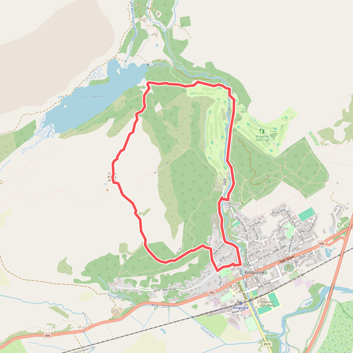
The best hiking routes in Cairngorms National Park
Discover the best walks in Cairngorms National Park. 62 routes on the map, with descriptions, photos and GPX.
About Cairngorms National Park
Cairngorms National Park is defined by its vast, elevated granite plateau and the remnants of ancient Caledonian pine forests in the lower straths. Unlike steeper, jagged mountain ranges, the core of this area consists of massive, rounded summits with boulder fields and high-altitude gravelly soils. On the lower slopes, the terrain transitions into extensive heather moorland and peat bogs. Walkers will find that the landscape is divided between these exposed, treeless heights and the sheltered, wooded glens below, such as those around the River Spey.
Read more
About Cairngorms National Park
Cairngorms National Park is defined by its vast, elevated granite plateau and the remnants of ancient Caledonian pine forests in the lower straths. Unlike steeper, jagged mountain ranges, the core of this area consists of massive, rounded summits with boulder fields and high-altitude gravelly soils. On the lower slopes, the terrain transitions into extensive heather moorland and peat bogs. Walkers will find that the landscape is divided between these exposed, treeless heights and the sheltered, wooded glens below, such as those around the River Spey.
Read moreCairngorms National Park is defined by its vast, elevated granite plateau and the remnants of ancient Caledonian pine forests in the lower straths. Unlike steeper, jagged mountain ranges, the core of this area consists of massive, rounded summits with boulder fields and high-altitude gravelly soils. On the lower slopes, the terrain transitions into extensive heather moorland and peat bogs. Walkers will find that the landscape is divided between these exposed, treeless heights and the sheltered, wooded glens below, such as those around the River Spey.
Underfoot, the paths vary significantly depending on your elevation. Lowland forest tracks are often wide, firm, and composed of packed dirt or gravel, occasionally crossed by tree roots. As you ascend into the glens and onto the open moors, the ground becomes increasingly boggy, where peat hags and wet heath require careful navigation, though some popular routes feature constructed stone pitched paths or wooden boardwalks. Above the tree line, the tracks thin out into rough, stony paths, scree, and trackless granite plateau where navigation relies entirely on cairns and map reading.
This park does not offer sharp, volcanic ridges or lush, pastoral valleys. Instead, it presents a scale of immense, rolling bulk and deep glacial troughs like Lairig Ghru. In late August, the lower hillsides turn a deep purple as the heather blooms, contrasting with the grey granite of the high tops. While well-known trailheads near Aviemore are often busy, the vast interior of the plateau remains a austere, demanding environment where the vegetation is sparse and the scale of the land dominates the walk.
Hiking routes in Cairngorms National Park (62)
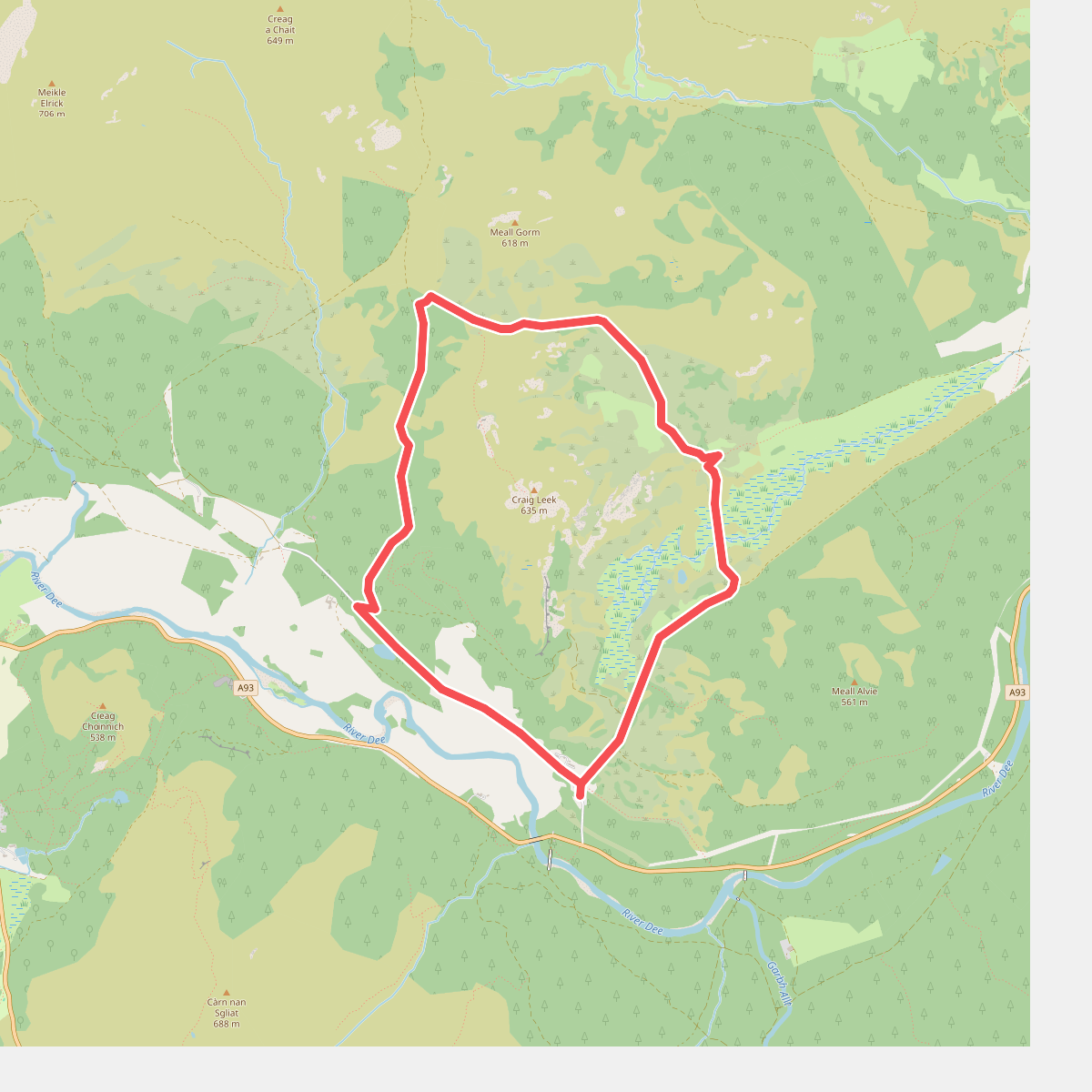
#1. Around Craig Leek
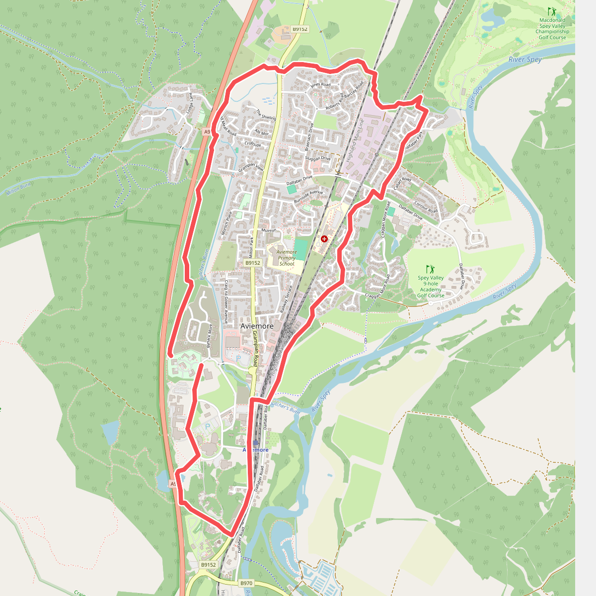
#2. Aviemore Orbital
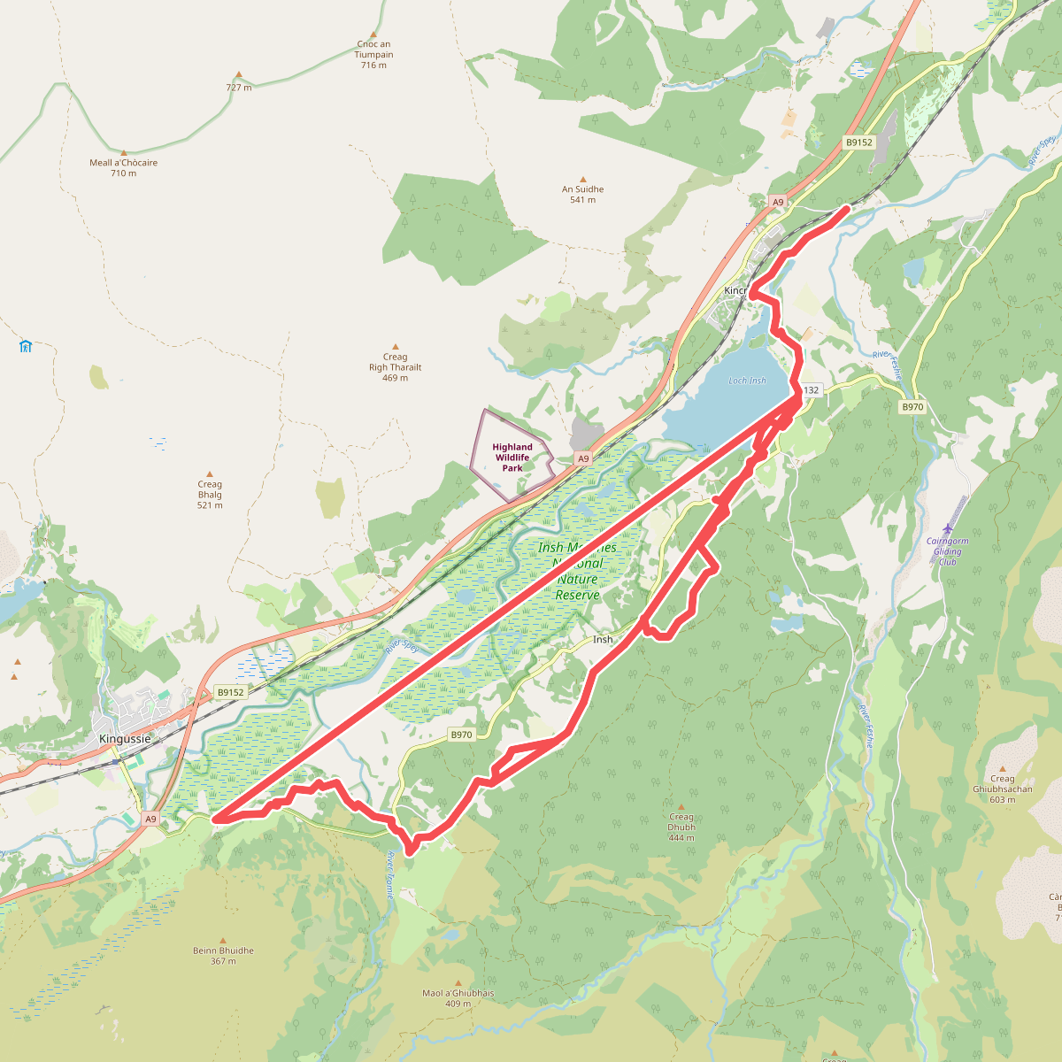
#3. Badenoch Way
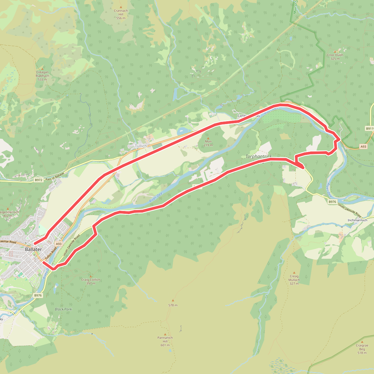
#4. Ballater/Cambus o'May loop
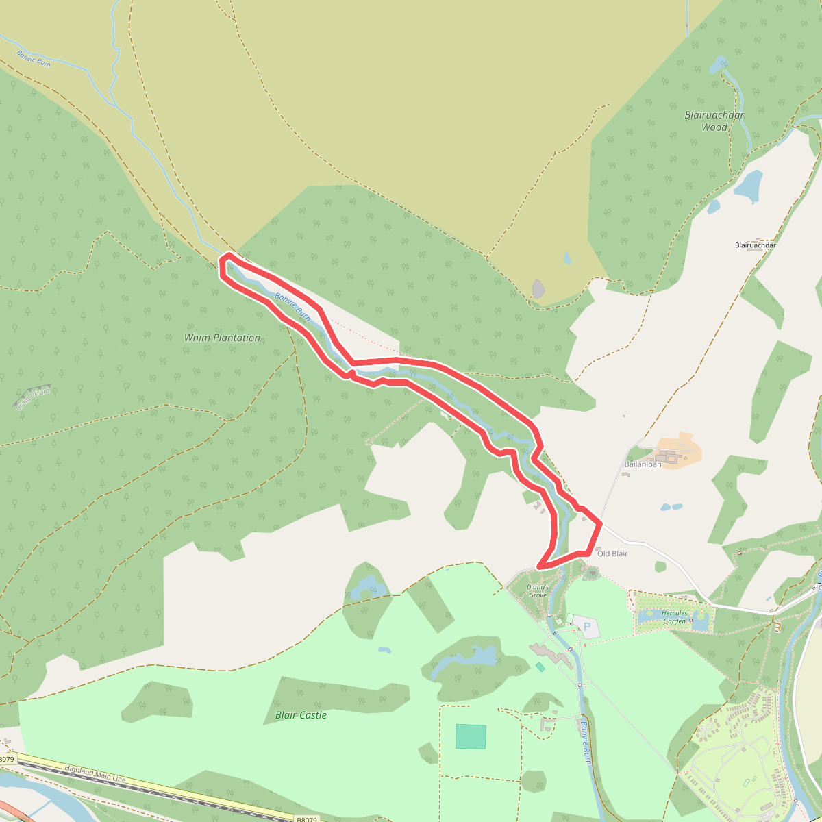
#5. Banvie Burn Walk
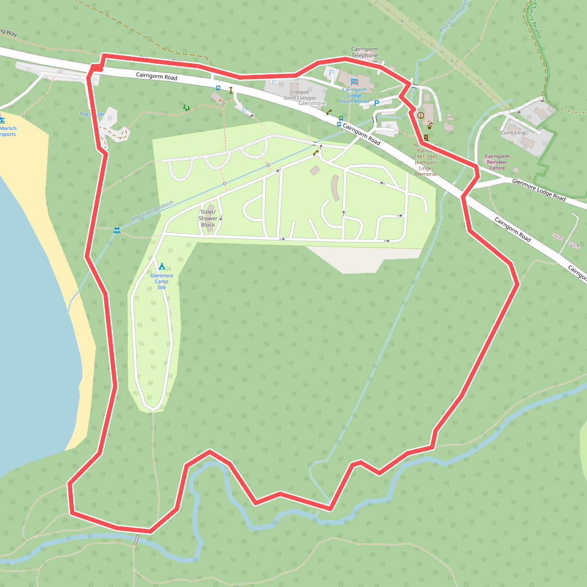
#6. Beach Trail
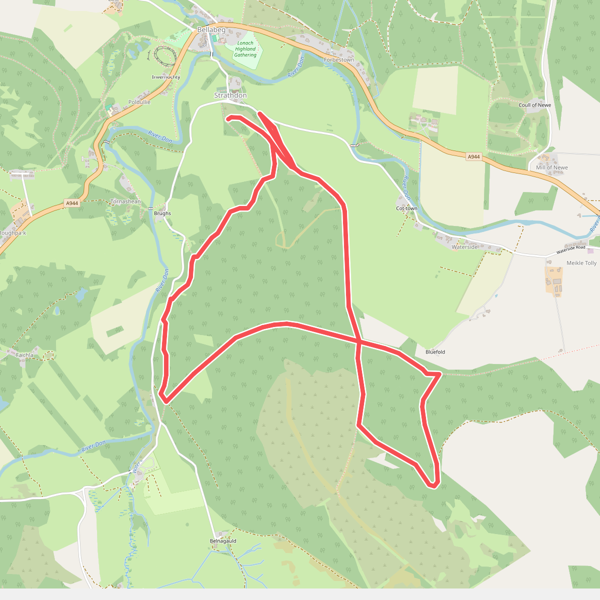
#7. Bunzeach Trail
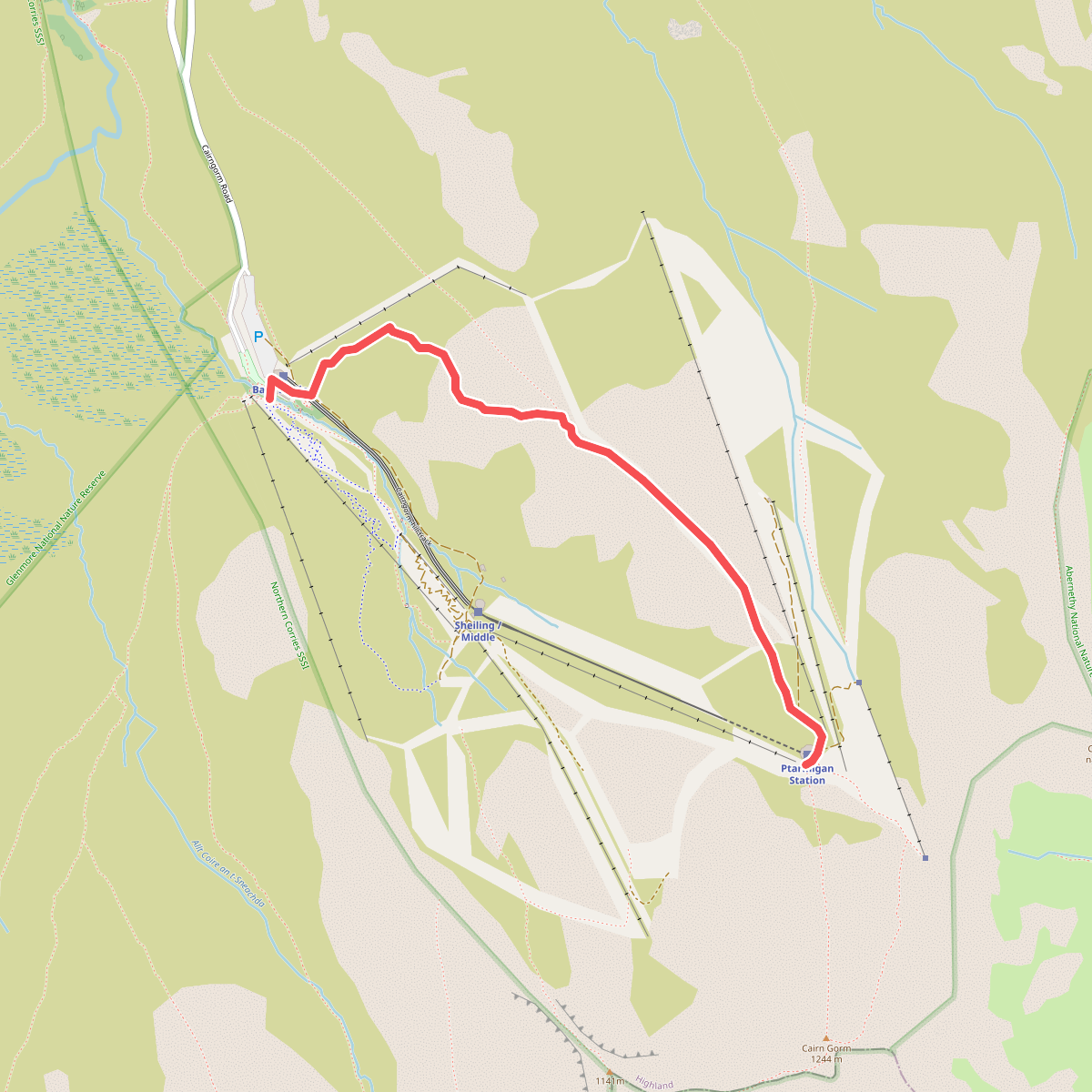
#8. Cairn Gorm Trail
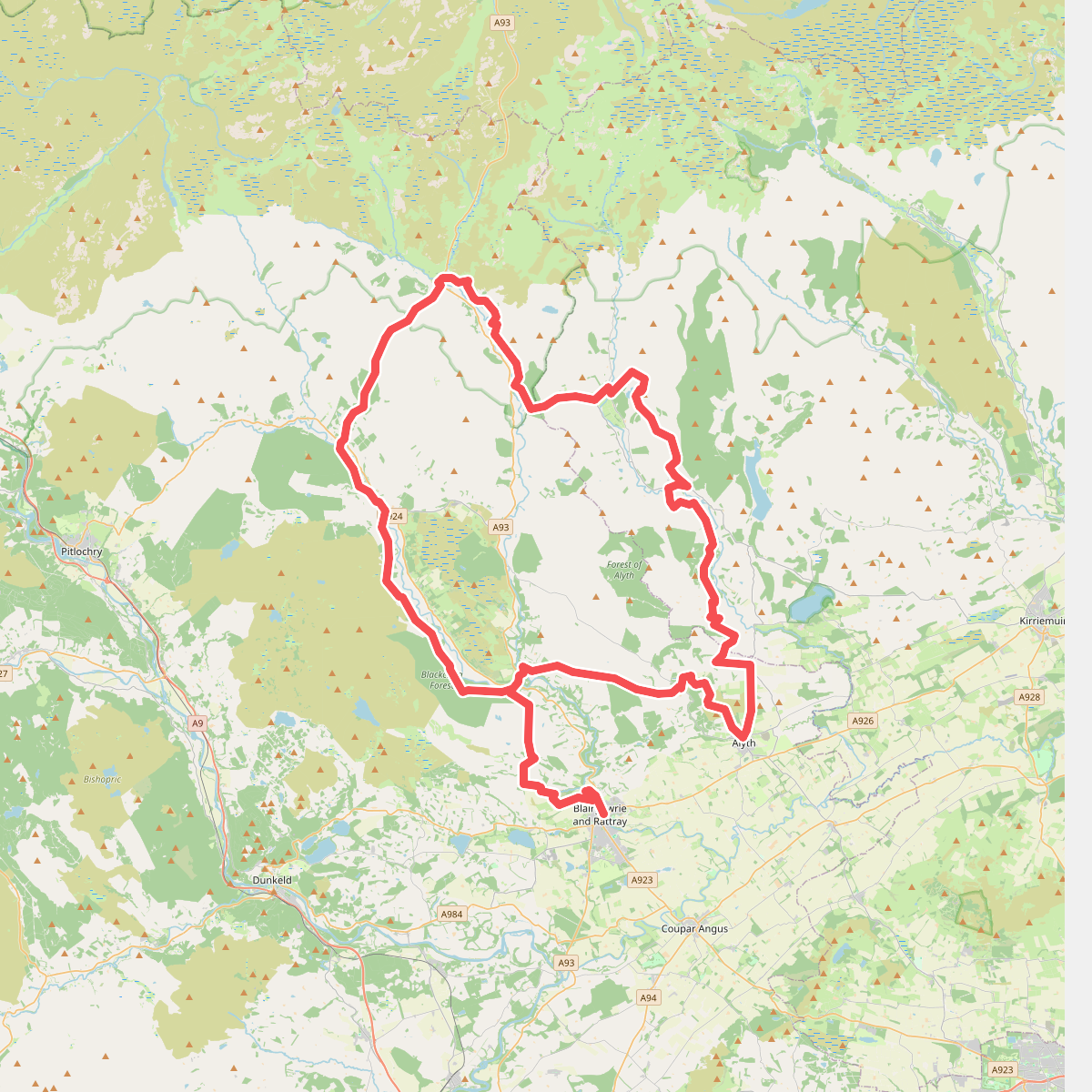
#9. Cateran Trail
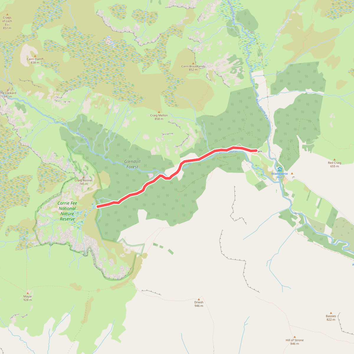
#10. Corrie Fee Trail
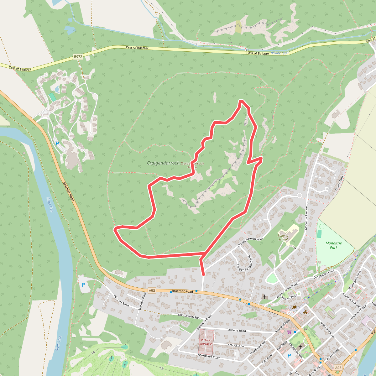
#11. Craigendarroch