

The best hiking routes in Buurserzand & Haaksbergerveen
Discover the best walks in Buurserzand & Haaksbergerveen. 54 routes on the map, with descriptions, photos and GPX.
Managed by Natuurmonumenten;Staatsbosbeheer;particulieren
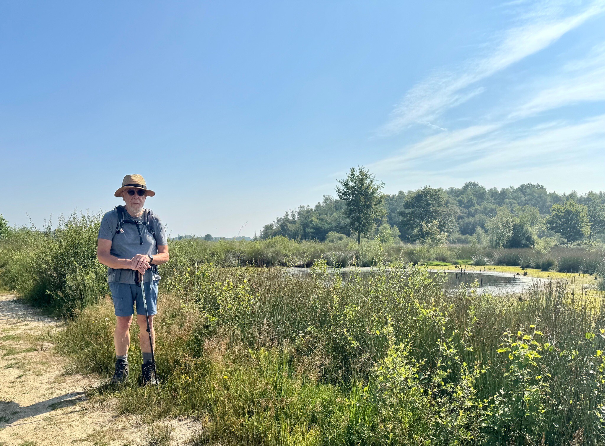
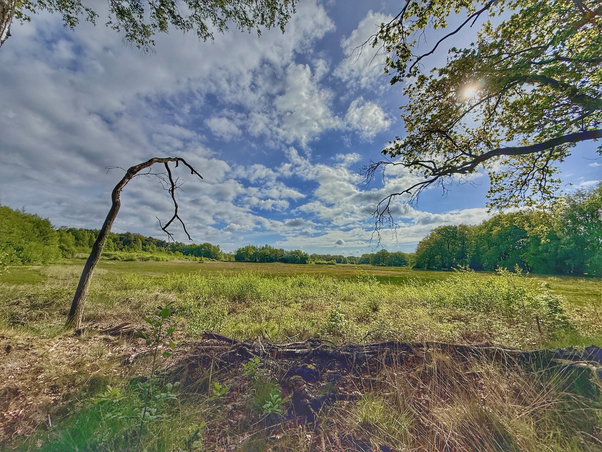
About Buurserzand & Haaksbergerveen
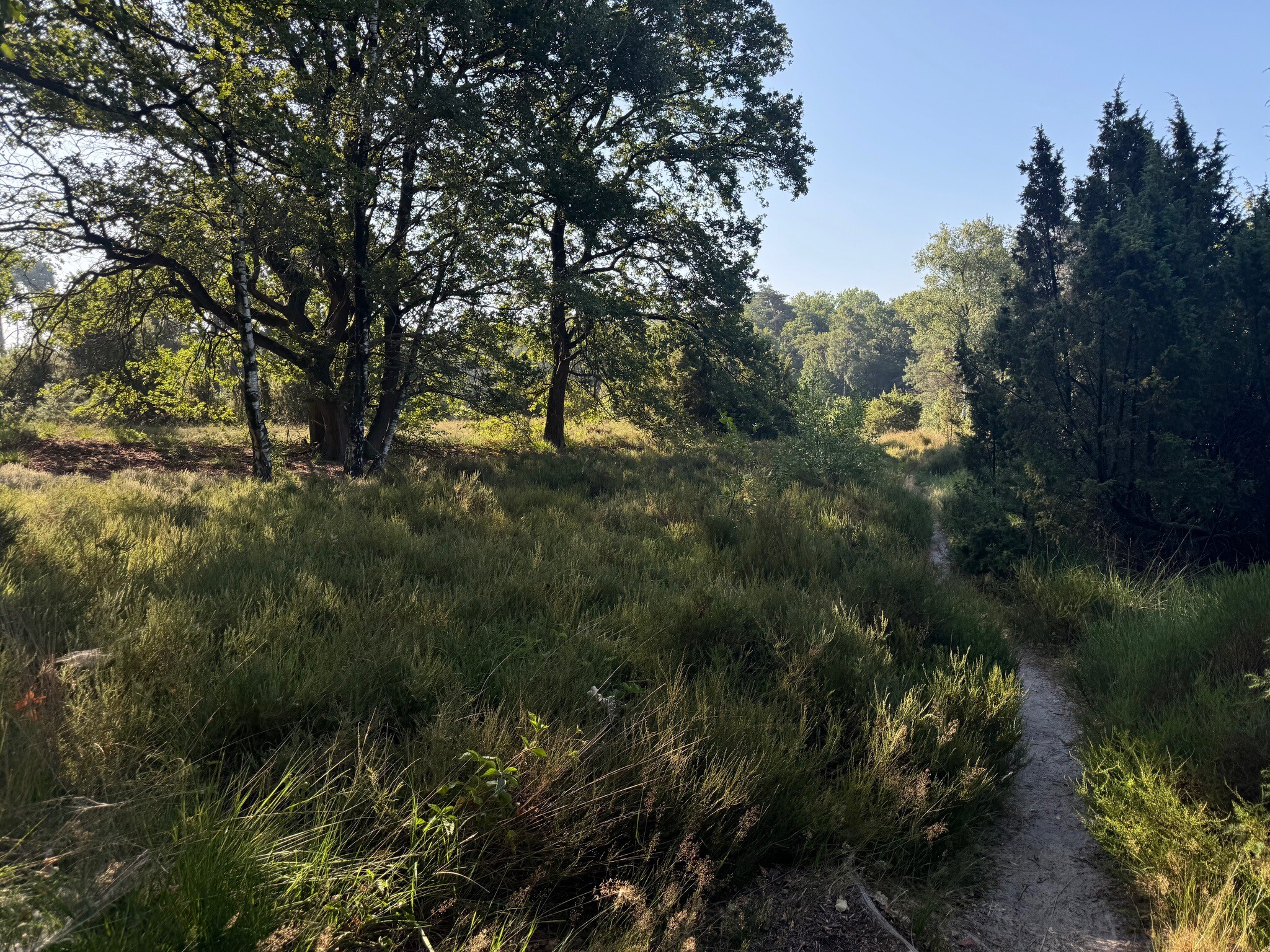
The nature reserve of Buurserzand & Haaksbergerveen offers two distinct landscape types within a short distance of each other. In the Buurserzand section, walkers find a dry, undulating heathland dominated by dwarf shrubs and ancient, wind-gnarled juniper trees. The paths here are mostly sandy tracks that wind through the heather and small patches of woodland. This area sits on a higher sandy ridge, meaning the ground underfoot is generally firm sand. This dry landscape contrasts sharply with the nearby Haaksbergerveen.
Read more
About Buurserzand & Haaksbergerveen
The nature reserve of Buurserzand & Haaksbergerveen offers two distinct landscape types within a short distance of each other. In the Buurserzand section, walkers find a dry, undulating heathland dominated by dwarf shrubs and ancient, wind-gnarled juniper trees. The paths here are mostly sandy tracks that wind through the heather and small patches of woodland. This area sits on a higher sandy ridge, meaning the ground underfoot is generally firm sand. This dry landscape contrasts sharply with the nearby Haaksbergerveen.
Read moreThe nature reserve of Buurserzand & Haaksbergerveen offers two distinct landscape types within a short distance of each other. In the Buurserzand section, walkers find a dry, undulating heathland dominated by dwarf shrubs and ancient, wind-gnarled juniper trees. The paths here are mostly sandy tracks that wind through the heather and small patches of woodland. This area sits on a higher sandy ridge, meaning the ground underfoot is generally firm sand. This dry landscape contrasts sharply with the nearby Haaksbergerveen.
In the Haaksbergerveen section, the terrain shifts to a vast, flat high-moor peatland. This is a wet, boggy environment where the trail relies on wooden boardwalks and grassy dikes to guide walkers across the standing water and sphagnum moss. You will notice deep drainage ditches and peat-cutting pits, which are remnants of historical fuel extraction. The vegetation here consists of cotton grass, which turns white in May, and specialized bog plants that thrive in the acidic, waterlogged soil.
Choosing between the two depends on your preference for terrain. The Buurserzand has more varied relief with its low dunes and scattered trees, while the Haaksbergerveen offers wide, open views across flat water pools and peat beds. Both areas are flat to gently rolling, with no significant hills or deep valleys. While the boardwalks in the peat bog can get busy on weekends, the sandy tracks in the heathland often offer a quieter walking experience.
Hiking routes in Buurserzand & Haaksbergerveen (54)
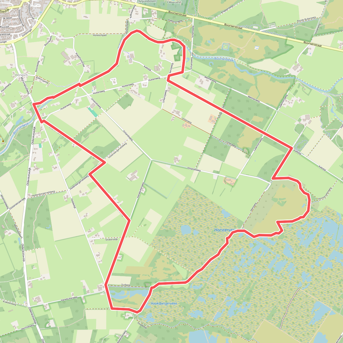
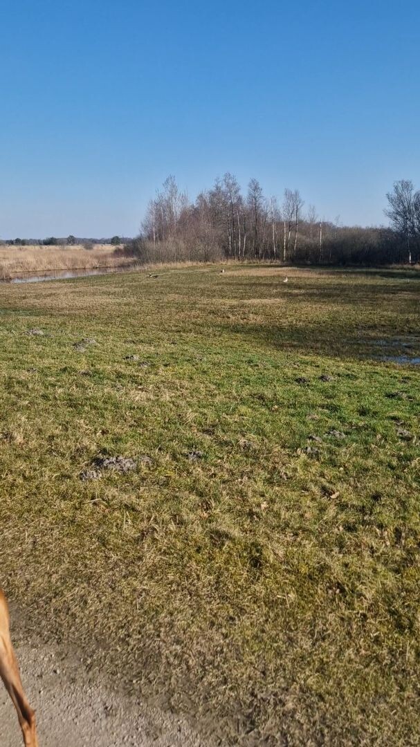
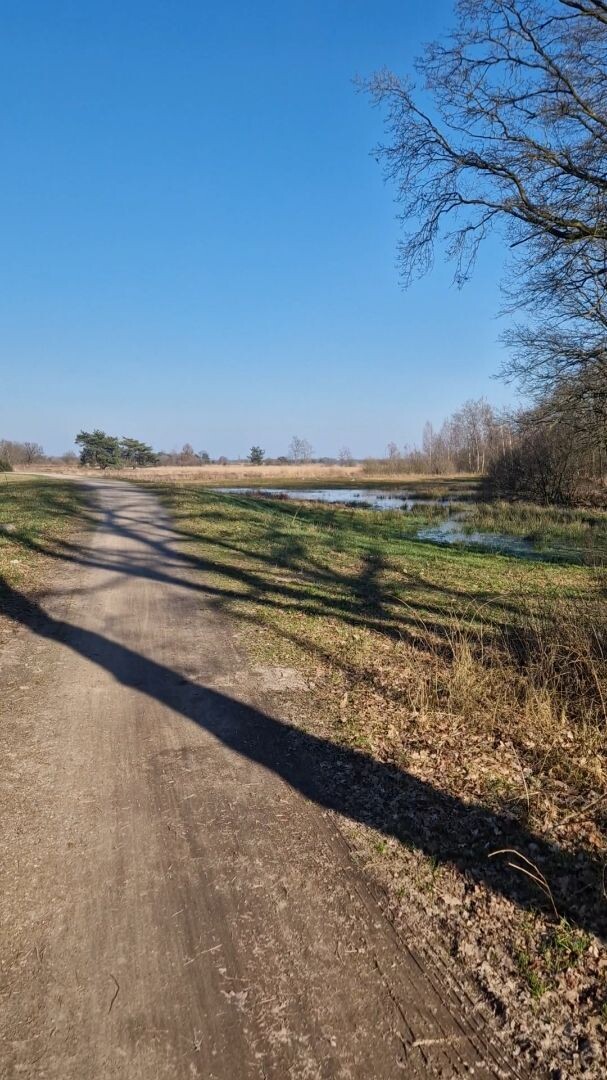
#1. Armenveen - Blauw
Haaksbergen
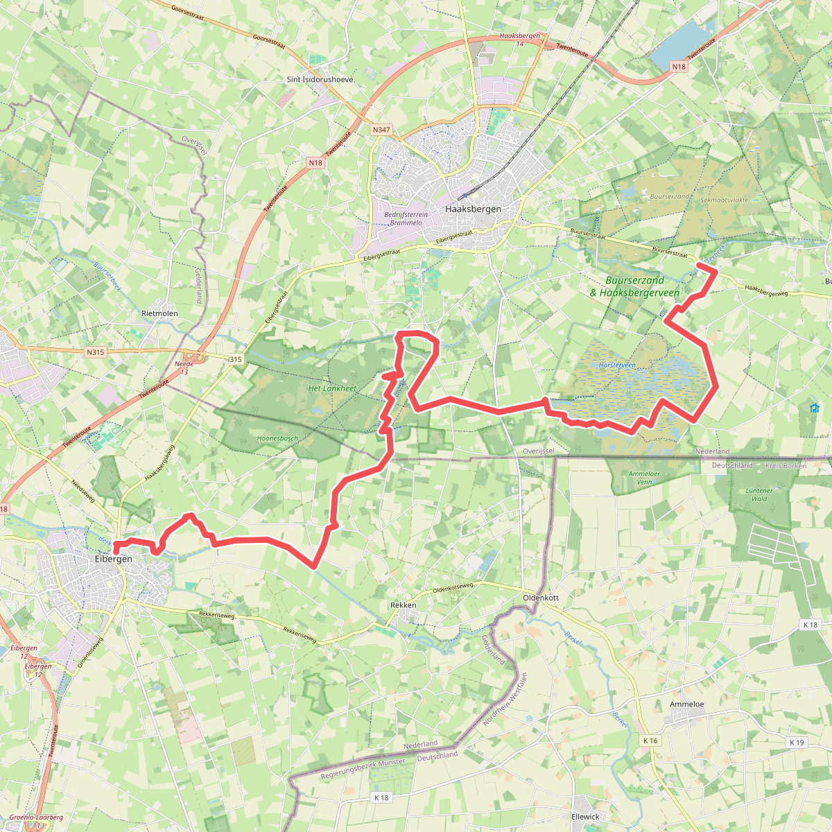

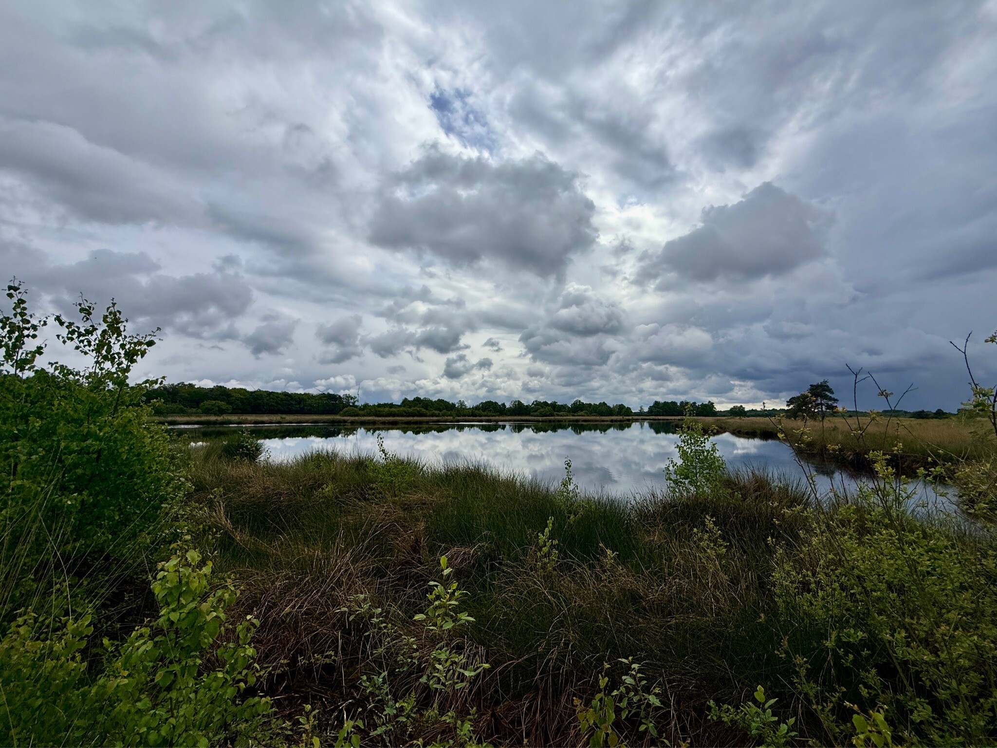
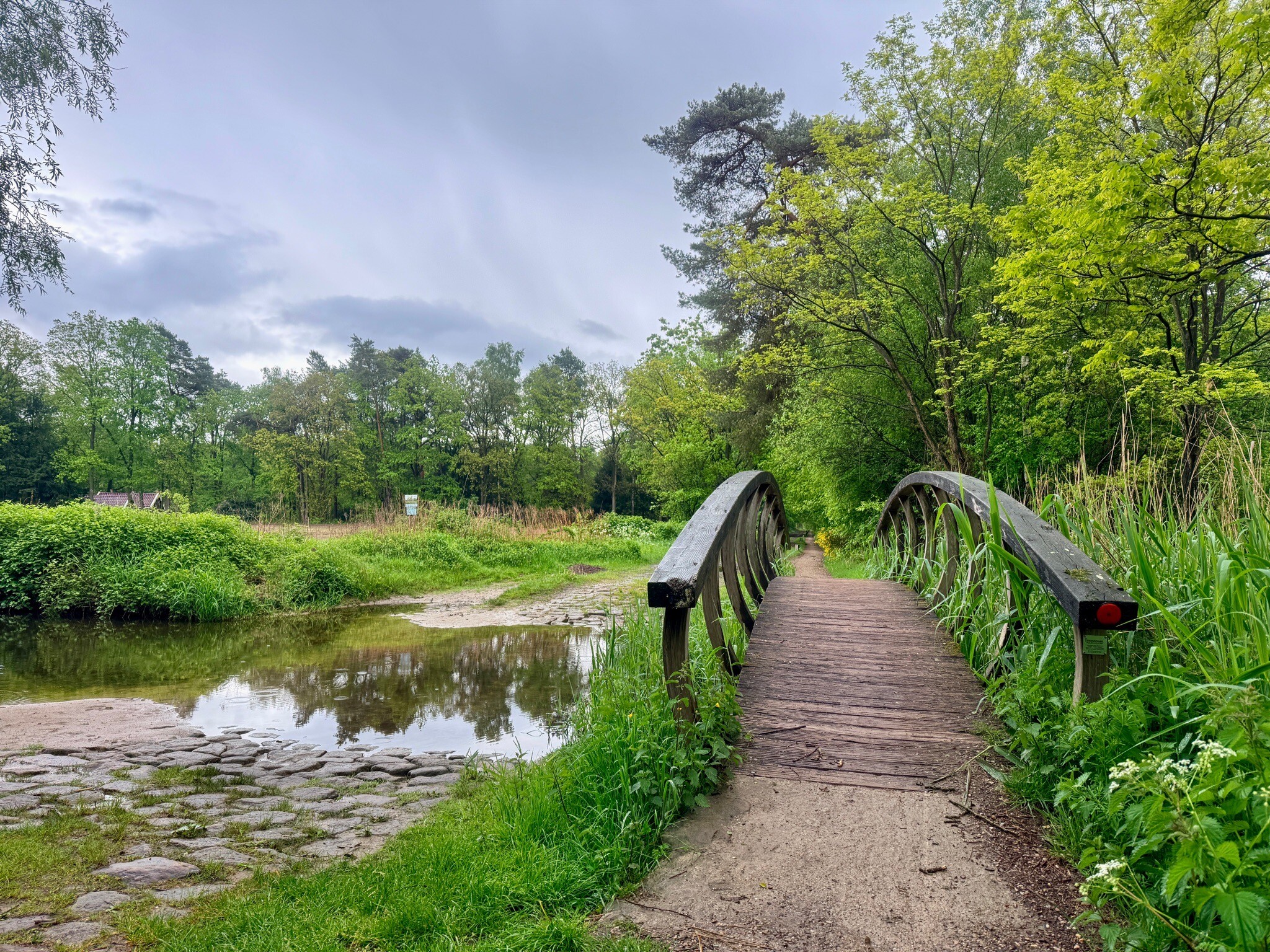
#2. Eibergen - Koekoesbrug · Trekvogelpad etappe 23
Eibergen,Rekken,Haaksbergen
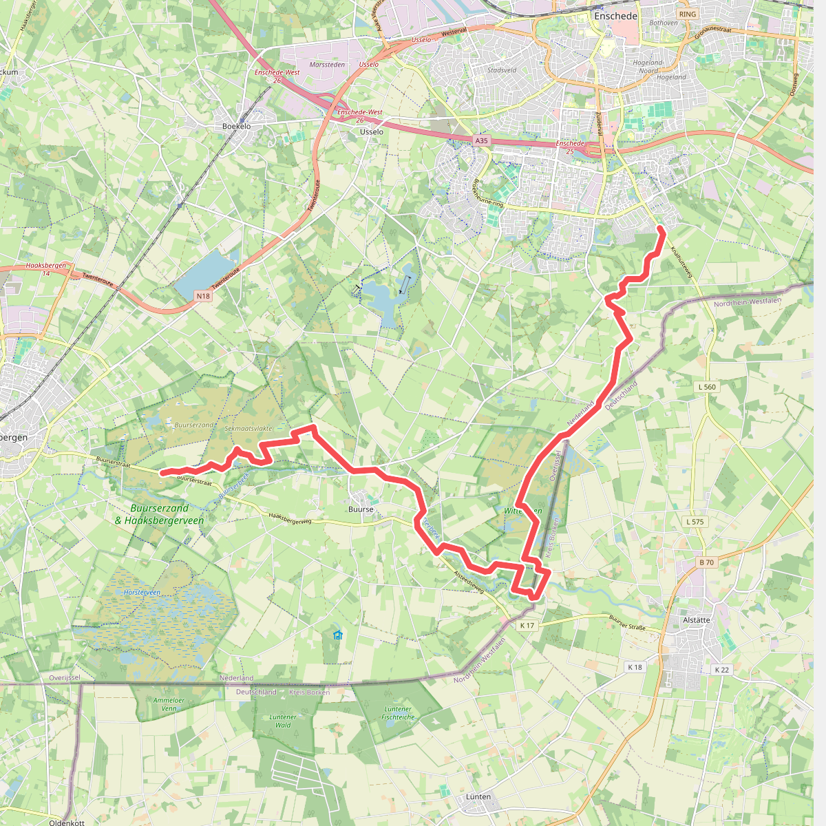
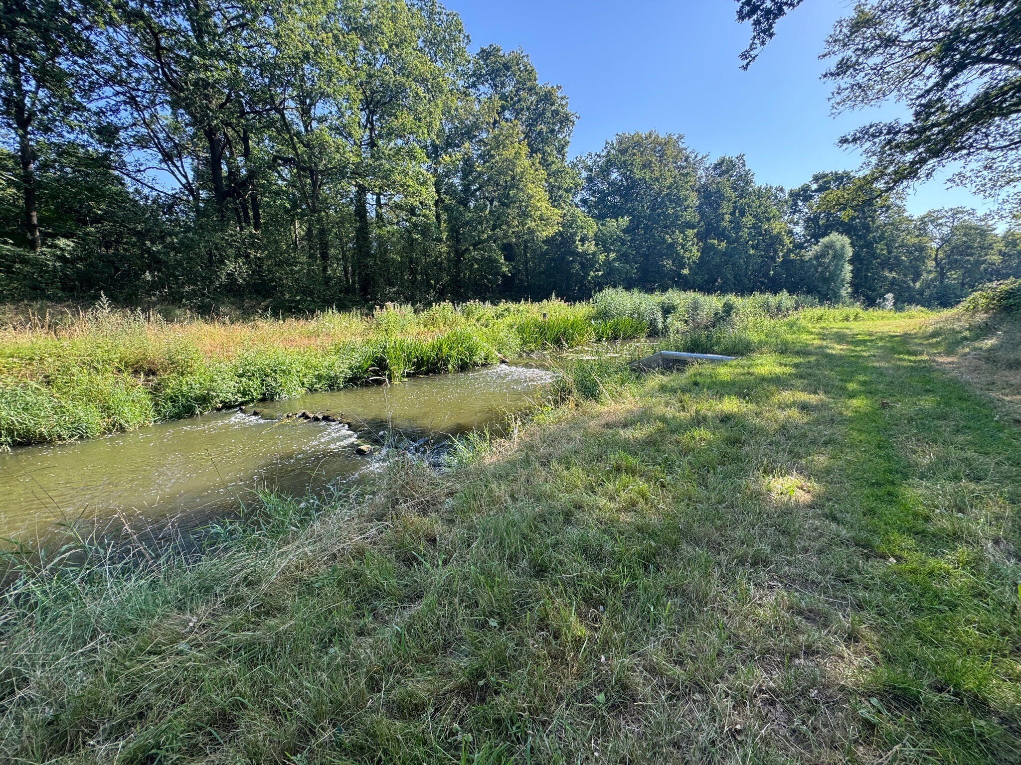
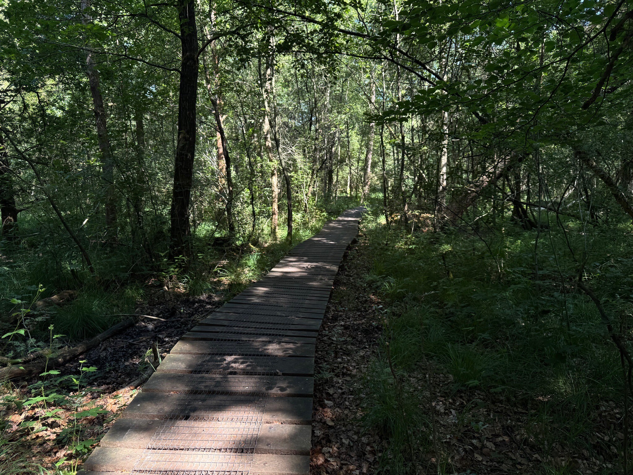
#3. Enschede - Haaksbergen, Buurserstraat · Noaberpad etappe 14
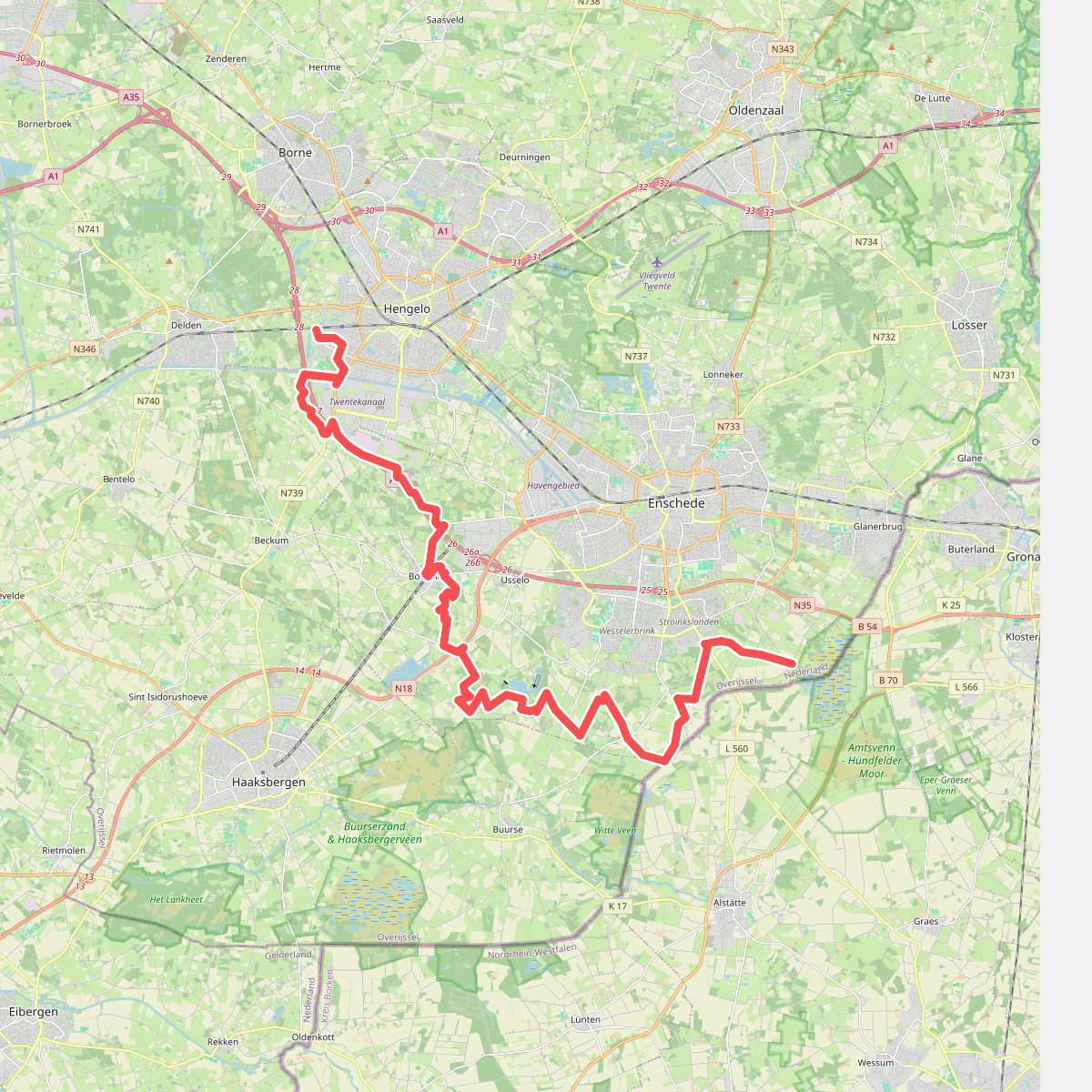
#4. Hengelo Aamsveen
Route via knooppunten: V88 → V89 → V92 → V93 → Y03 → V48 → W61 → O93 → W79 → W78 → S20 → W21 → W09 → W82 → W88 → W98 → W99 → W92 → W93 → W94...
Hengelo,Enschede
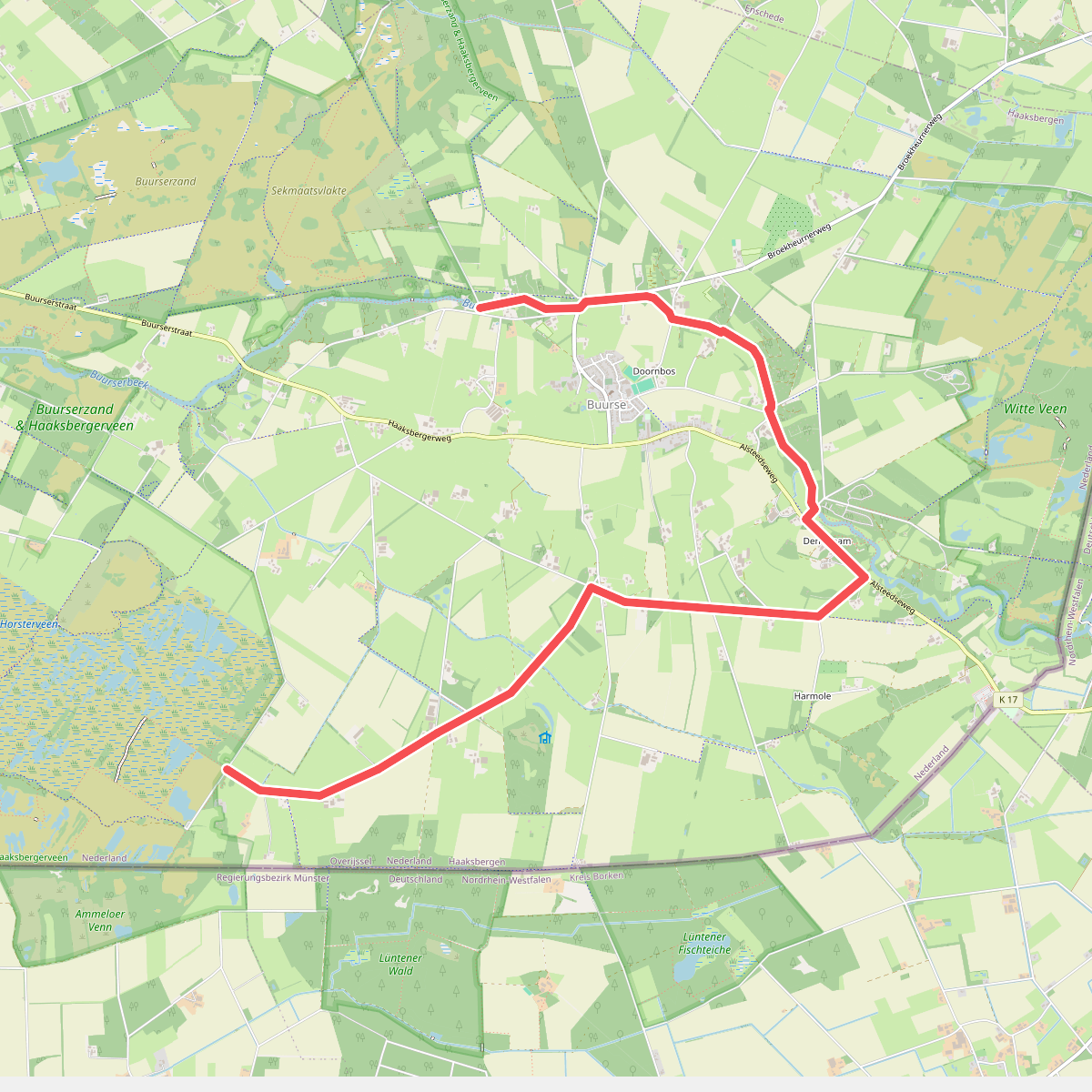
#5. Variant Den Broam · Trekvogelpad etappe 21
Haaksbergen
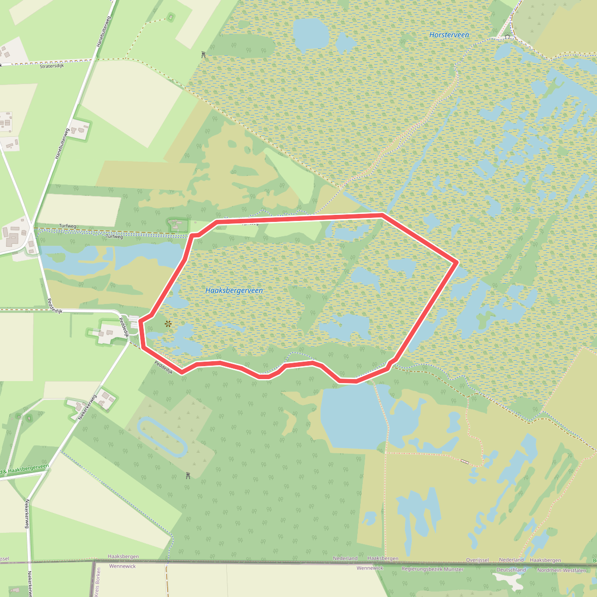
#6. Armenveen - Geel
Haaksbergen
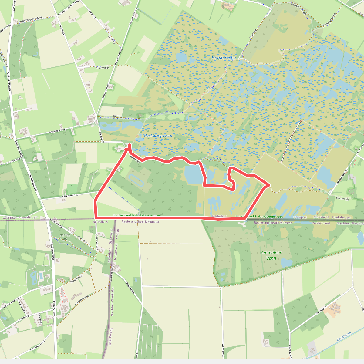
#7. Armenveen - Groen
Haaksbergen
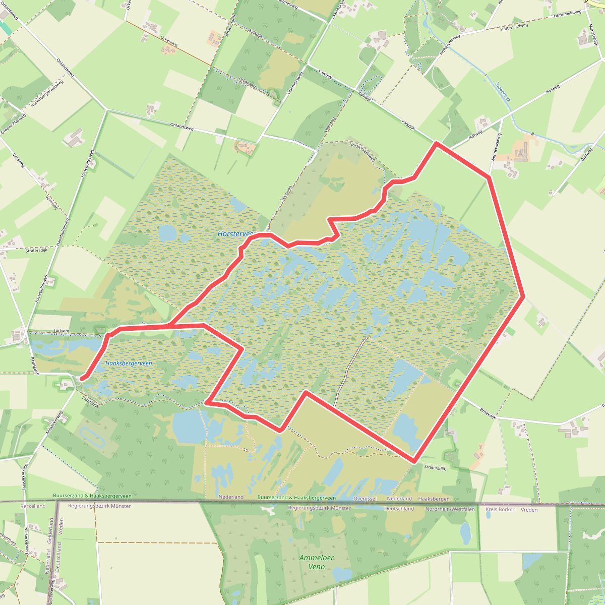
#8. Armenveen - Oranje
Haaksbergen
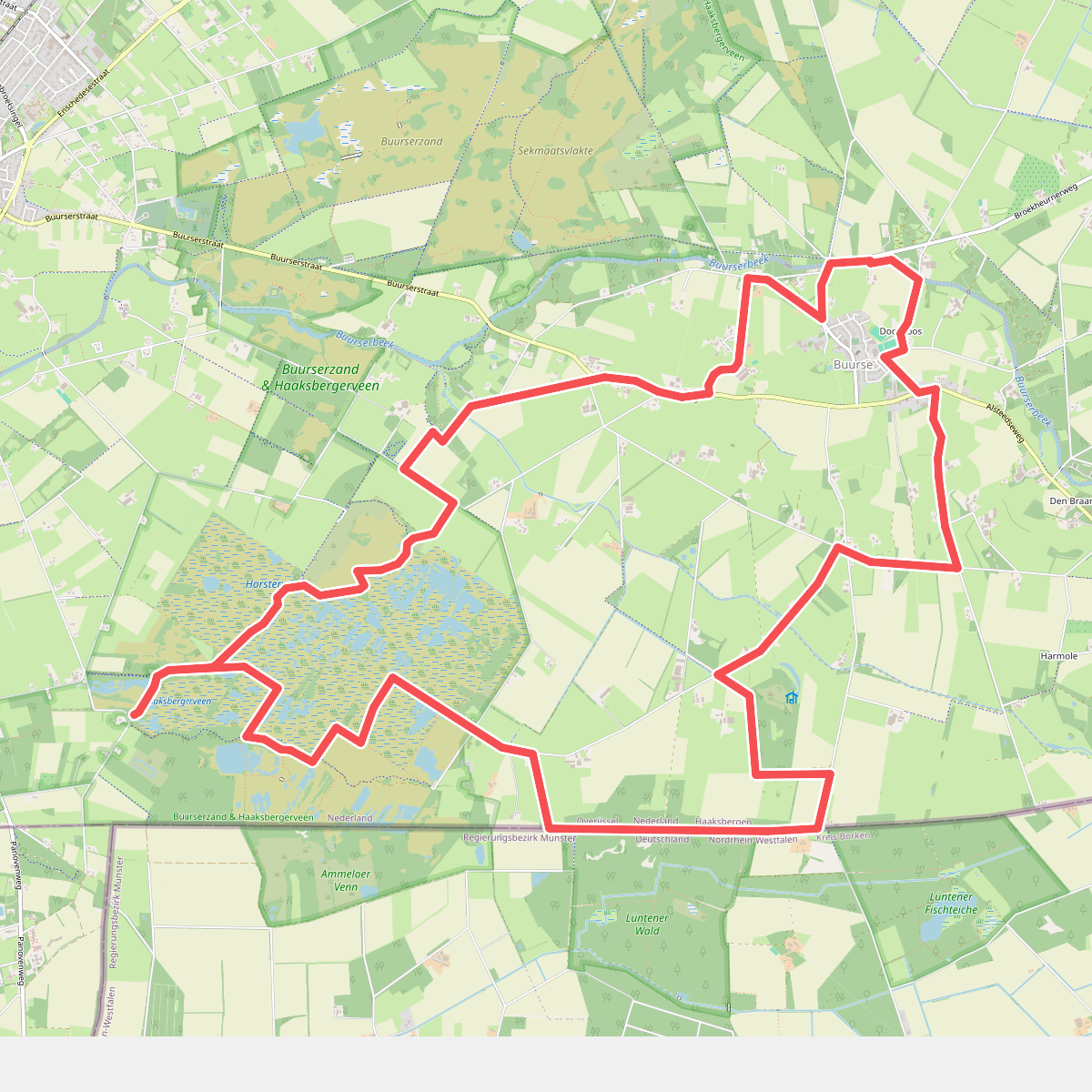
#9. Armenveen - Paars
Haaksbergen
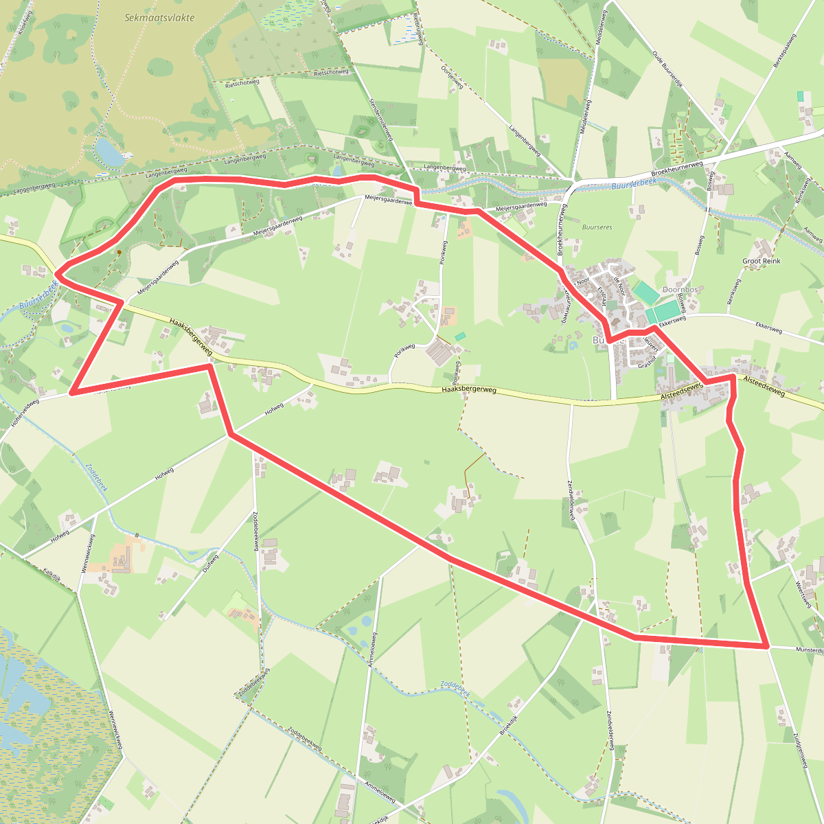
#10. Buurse - Groen
Haaksbergen
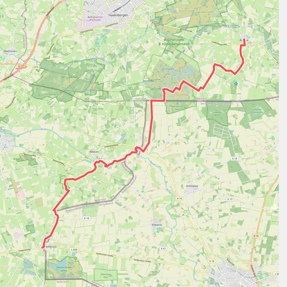
#11. Buurse naar Zwilbroek - "Paal 1" · NederRandpad etappe 14
Eibergen,Rekken,Haaksbergen
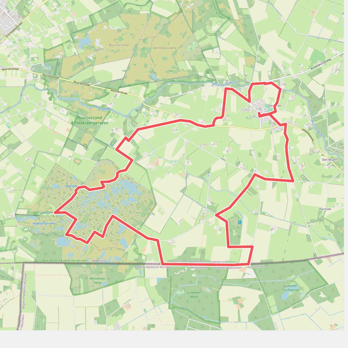
#12. Buurse - Paars
Haaksbergen



