The best hiking routes in Buožėnų geomorfologinis draustinis
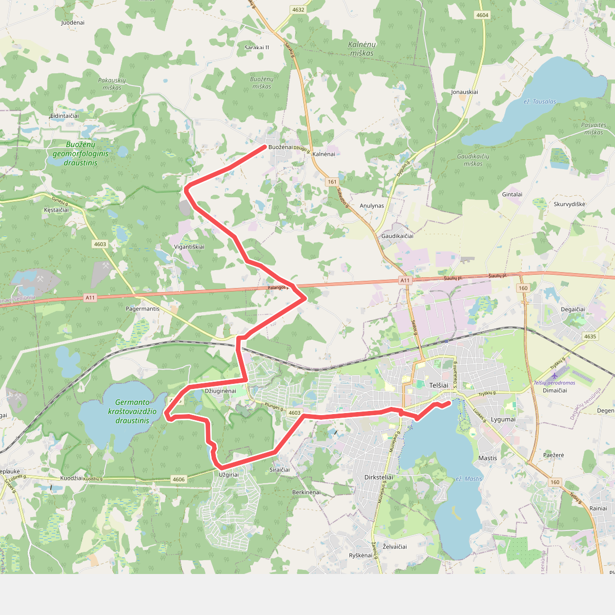
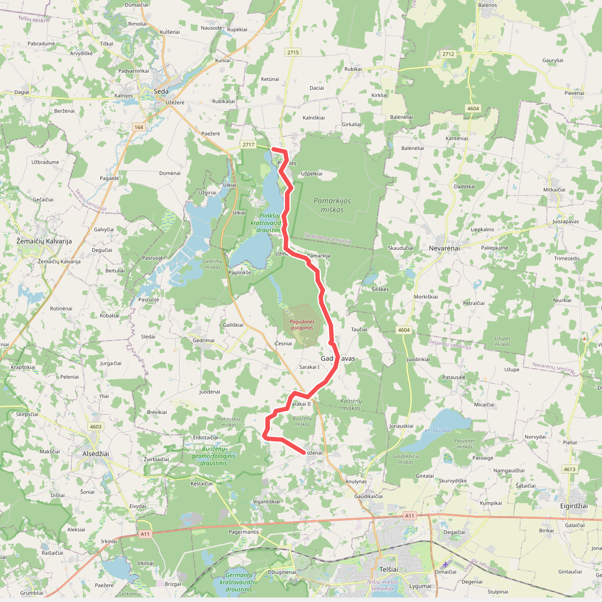
Discover the best walks in Buožėnų geomorfologinis draustinis. 2 routes on the map, with descriptions, photos and GPX.
About Buožėnų geomorfologinis draustinis
Buožėnų geomorfologinis draustinis protects a distinctive section of the Žemaitija uplands, shaped by the retreating glaciers of the last ice age. Unlike the flat plains nearby, this reserve is characterized by a series of steep, rolling moraine hills and deep, narrow ravines. The terrain is heavily forested, dominated by dense stands of spruce and deciduous trees that cover the sharp ridges and valleys. Walking here requires negotiating constant, short elevation changes rather than long, sustained climbs.
Read more
About Buožėnų geomorfologinis draustinis
Buožėnų geomorfologinis draustinis protects a distinctive section of the Žemaitija uplands, shaped by the retreating glaciers of the last ice age. Unlike the flat plains nearby, this reserve is characterized by a series of steep, rolling moraine hills and deep, narrow ravines. The terrain is heavily forested, dominated by dense stands of spruce and deciduous trees that cover the sharp ridges and valleys. Walking here requires negotiating constant, short elevation changes rather than long, sustained climbs.
Read moreBuožėnų geomorfologinis draustinis protects a distinctive section of the Žemaitija uplands, shaped by the retreating glaciers of the last ice age. Unlike the flat plains nearby, this reserve is characterized by a series of steep, rolling moraine hills and deep, narrow ravines. The terrain is heavily forested, dominated by dense stands of spruce and deciduous trees that cover the sharp ridges and valleys. Walking here requires negotiating constant, short elevation changes rather than long, sustained climbs.
Underfoot, the paths are mostly unpaved forest tracks, consisting of natural soil, leaf litter, and exposed tree roots. In lower sections, the ground can be soft and damp where small, unnamed streams cut through the clay-heavy soil at the bottom of the ravines. There are no boardwalks or developed tourist facilities, meaning walkers must navigate the natural forest floor and occasional fallen branches.
The landscape is best understood by observing how the vegetation changes with the topography. The dry, sandy-clay tops of the ridges support taller, wind-exposed trees, while the damp, shaded ravine floors host lush ferns and mosses. It is a quiet, working forest environment where the focus is on the physical geography of the glacial landforms rather than wide vistas.