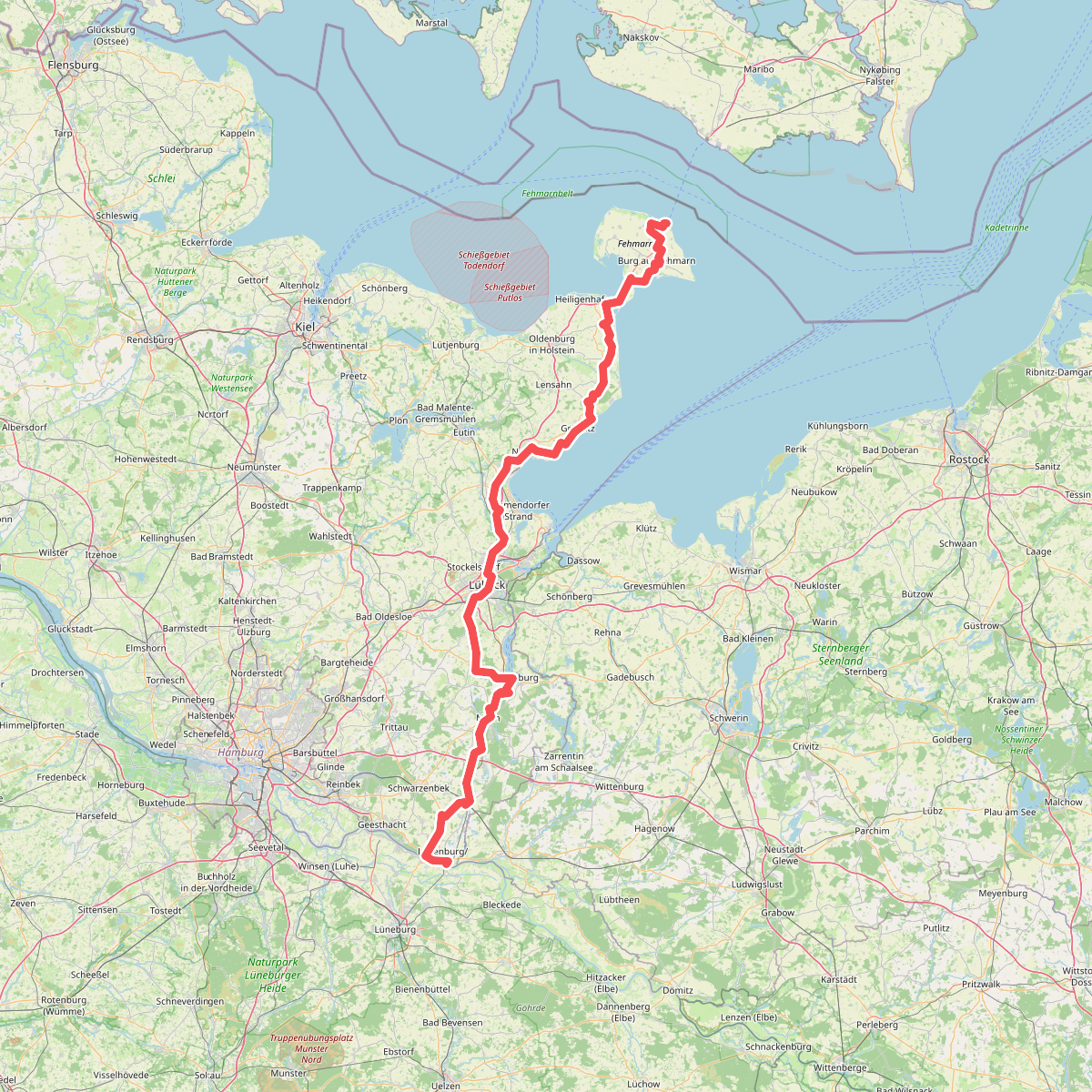
The best hiking routes in Brodtener Winkel
Discover the best walks in Brodtener Winkel. 1 routes on the map, with descriptions, photos and GPX.
About Brodtener Winkel
The Brodtener Winkel is a four-kilometre stretch of active cliff line along the Baltic Sea coast, located between Travemünde and Niendorf. Unlike the flat sandy beaches nearby, this area is defined by a steep clay and sand wall that rises up to twenty metres above the water. The landscape is constantly changing because winter waves erode the base of the cliff, causing sections of the upper woodland and soil to slide down onto the narrow beach below. This process leaves exposed tree roots hanging over the edge and creates a rugged, unfinished shoreline.
Read more
About Brodtener Winkel
The Brodtener Winkel is a four-kilometre stretch of active cliff line along the Baltic Sea coast, located between Travemünde and Niendorf. Unlike the flat sandy beaches nearby, this area is defined by a steep clay and sand wall that rises up to twenty metres above the water. The landscape is constantly changing because winter waves erode the base of the cliff, causing sections of the upper woodland and soil to slide down onto the narrow beach below. This process leaves exposed tree roots hanging over the edge and creates a rugged, unfinished shoreline.
Read moreThe Brodtener Winkel is a four-kilometre stretch of active cliff line along the Baltic Sea coast, located between Travemünde and Niendorf. Unlike the flat sandy beaches nearby, this area is defined by a steep clay and sand wall that rises up to twenty metres above the water. The landscape is constantly changing because winter waves erode the base of the cliff, causing sections of the upper woodland and soil to slide down onto the narrow beach below. This process leaves exposed tree roots hanging over the edge and creates a rugged, unfinished shoreline.
Walkers can choose between two distinct paths that run parallel to each other. The upper cliff-top path goes through a strip of beech forest, offering elevated views of the Lübeck Bay through the trees, though you must stay well back from the unstable, crumbling edge. Underfoot, this upper path is mostly packed dirt and forest soil, which can become muddy. The lower path runs directly along the narrow beach, where the ground is a mix of loose sand, gravel, and large flint stones washed out of the cliff face.
This area does not offer wide, sandy dunes or gentle grassy slopes. It is a raw coastal strip where fallen trees are left where they land on the shore, meaning walkers on the beach path must occasionally step over or around trunks and boulders. While the beach path can feel enclosed by the steep wall on one side and the water on the other, the upper forest path provides a more sheltered walk under the canopy.