The best hiking routes in Brandenburgische Elbtalaue
Discover the best walks in Brandenburgische Elbtalaue. 5 routes on the map, with descriptions, photos and GPX.
About Brandenburgische Elbtalaue
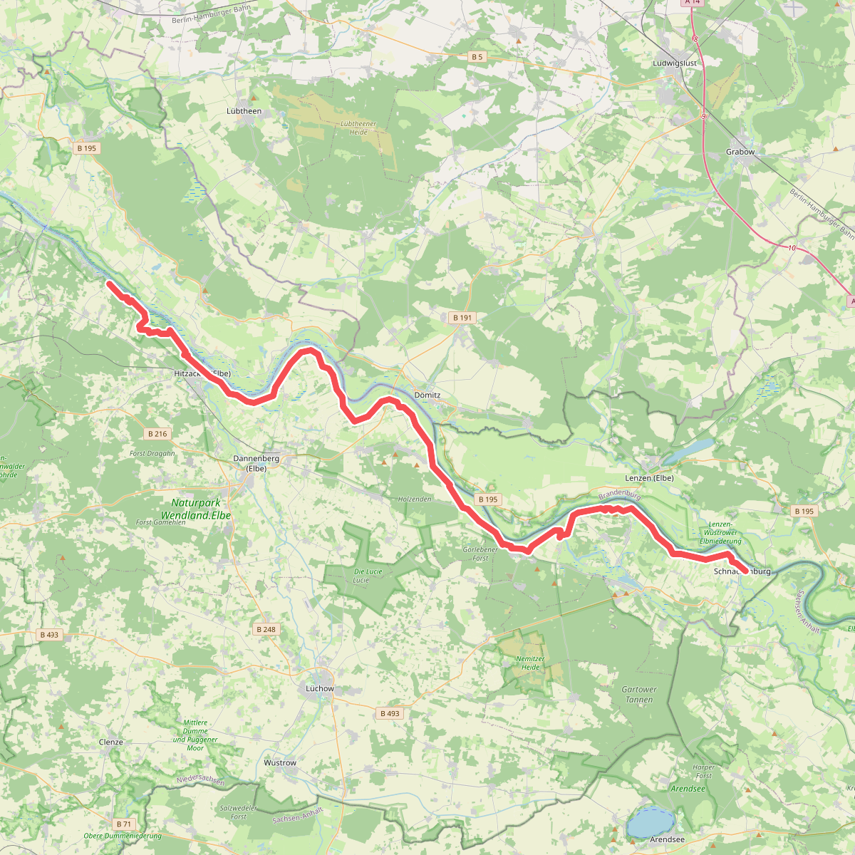
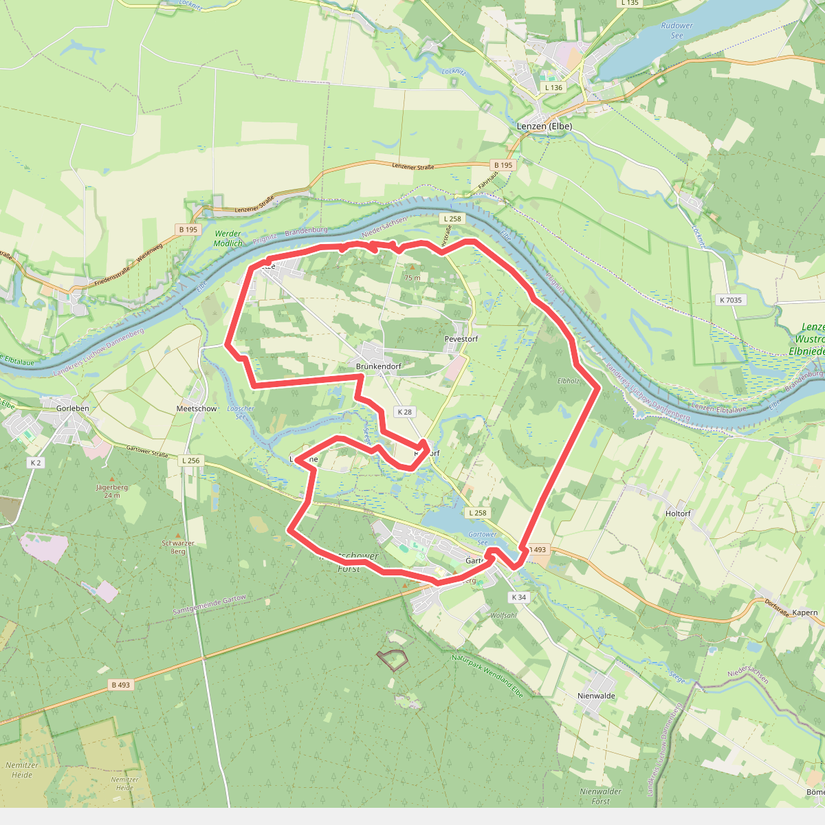
The Brandenburgische Elbtalaue offers a flat, river-dominated landscape shaped by the seasonal flooding of the Elbe. Unlike drier inland forests, this area is characterized by a mix of wide alluvial meadows, dense riparian woodlands, and old river branches that have cut off from the main current. Walkers will notice how the terrain transitions abruptly from damp clay soils near the riverbanks to dry, sandy inland dunes that were piled up by the wind centuries ago.
Read more
About Brandenburgische Elbtalaue
The Brandenburgische Elbtalaue offers a flat, river-dominated landscape shaped by the seasonal flooding of the Elbe. Unlike drier inland forests, this area is characterized by a mix of wide alluvial meadows, dense riparian woodlands, and old river branches that have cut off from the main current. Walkers will notice how the terrain transitions abruptly from damp clay soils near the riverbanks to dry, sandy inland dunes that were piled up by the wind centuries ago.
Read moreThe Brandenburgische Elbtalaue offers a flat, river-dominated landscape shaped by the seasonal flooding of the Elbe. Unlike drier inland forests, this area is characterized by a mix of wide alluvial meadows, dense riparian woodlands, and old river branches that have cut off from the main current. Walkers will notice how the terrain transitions abruptly from damp clay soils near the riverbanks to dry, sandy inland dunes that were piled up by the wind centuries ago.
Underfoot, the paths vary significantly depending on where you walk. Along the dykes and through the open pastures, you will mostly follow grassy tracks and paved service roads that offer clear views across the agricultural floodplains. Closer to the river and inside the floodplain forests, the paths become unpaved dirt tracks where tree roots and alluvial mud dictate your pace. There are no boardwalks here, so walkers must be prepared for natural, uneven ground that reflects the river's active influence on the land.
This area is not a place for dramatic elevation changes or deep valleys; the landscape is consistently low-lying, with only the dykes and occasional sand dunes rising a few meters above the water level. While the main dyke paths are popular with cyclists and can get busier near the small ferry crossings in May and June, the faint tracks leading into the damp oak-hornbeam woods remain quiet and offer a closer look at the specialized riverine vegetation.