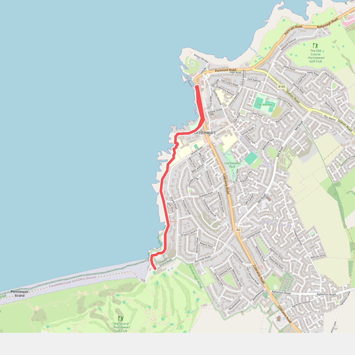
The best hiking routes in Binevenagh AONB
Discover the best walks in Binevenagh AONB. 5 routes on the map, with descriptions, photos and GPX.
About Binevenagh AONB
Binevenagh AONB is defined by its dramatic basalt escarpment that rises abruptly above the flat, sandy plains of Magilligan and the shores of Lough Foyle. For a walker, this creates two distinct terrain types within a compact area. You can choose between the high, exposed plateau where sheep graze on rough peat moorland, or the low-lying coastal forests and dune systems closer to the water. The transition between these zones is marked by steep talus slopes and massive landslips, which have shaped the distinctive cliffs over centuries.
Read more
About Binevenagh AONB
Binevenagh AONB is defined by its dramatic basalt escarpment that rises abruptly above the flat, sandy plains of Magilligan and the shores of Lough Foyle. For a walker, this creates two distinct terrain types within a compact area. You can choose between the high, exposed plateau where sheep graze on rough peat moorland, or the low-lying coastal forests and dune systems closer to the water. The transition between these zones is marked by steep talus slopes and massive landslips, which have shaped the distinctive cliffs over centuries.
Read moreBinevenagh AONB is defined by its dramatic basalt escarpment that rises abruptly above the flat, sandy plains of Magilligan and the shores of Lough Foyle. For a walker, this creates two distinct terrain types within a compact area. You can choose between the high, exposed plateau where sheep graze on rough peat moorland, or the low-lying coastal forests and dune systems closer to the water. The transition between these zones is marked by steep talus slopes and massive landslips, which have shaped the distinctive cliffs over centuries.
Underfoot, the walking conditions vary significantly depending on your chosen level. The upland paths across the plateau consist mostly of wet peat, rough grass, and gravel forestry tracks around the artificial reservoir. In contrast, the lower sections near Magilligan Point offer soft sand dunes and pine-needle paths through the planted conifers of Binevenagh Forest. There are no high alpine peaks here; the landscape is characterized by its flat-topped cliffs and wide, open estuaries.
In late summer, particularly during August, the upland heath turns purple with heather, contrasting with the dark green pine plantations below. The area is generally quieter than the nearby Giant's Causeway coast, though the forest trailheads and the viewpoint at the summit can attract more visitors on weekends. Walkers should expect steep climbs if they choose to ascend from the lowlands to the cliff edge, while the coastal flats offer level, straightforward walking.
Hiking routes in Binevenagh AONB (5)
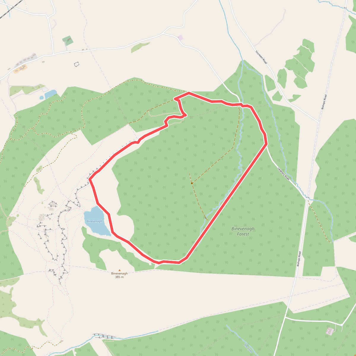
#1. Causeway Coast and Glens - 14 - Binevenagh
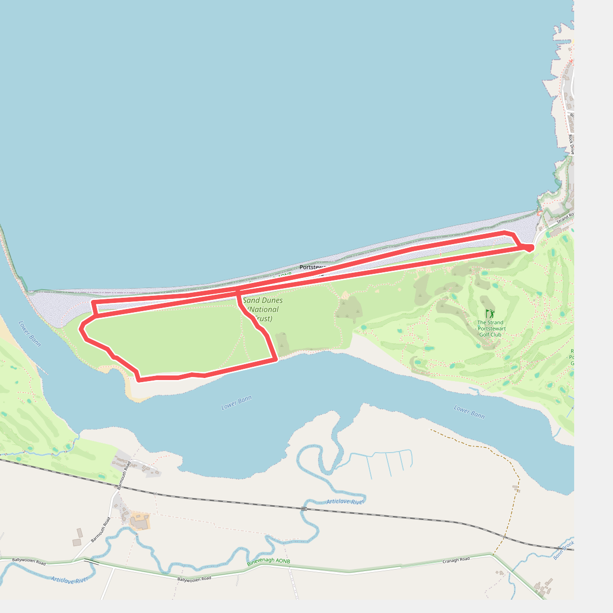
#2. Dune and Estuary Walk, Portstewart Strand
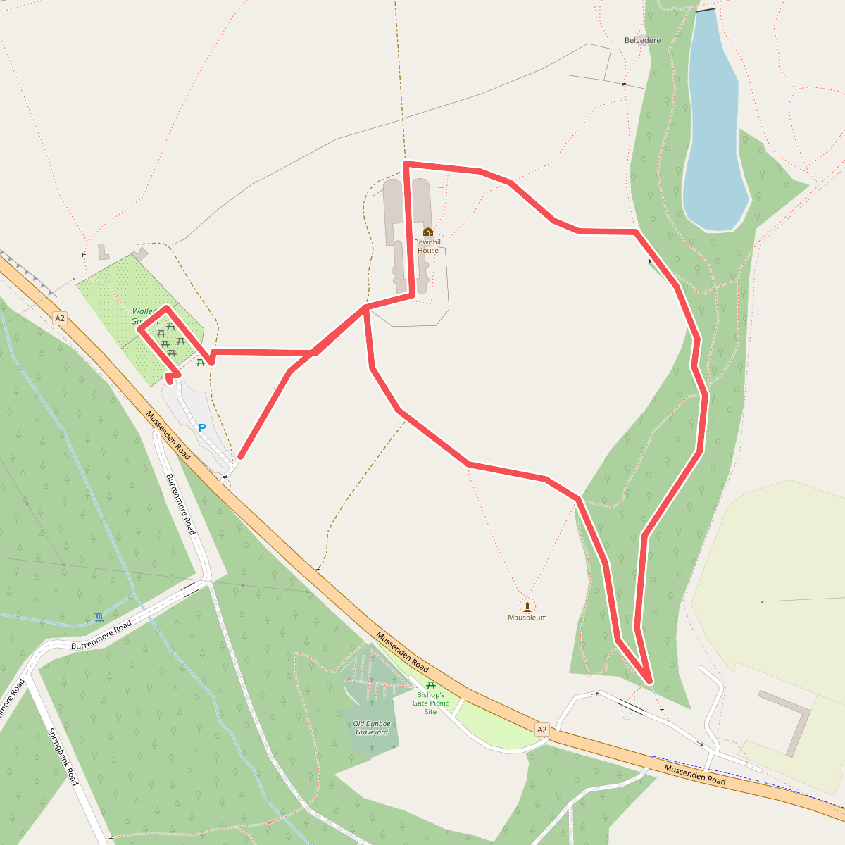
#3. Earl Bishop's Tree Trail, Downhill
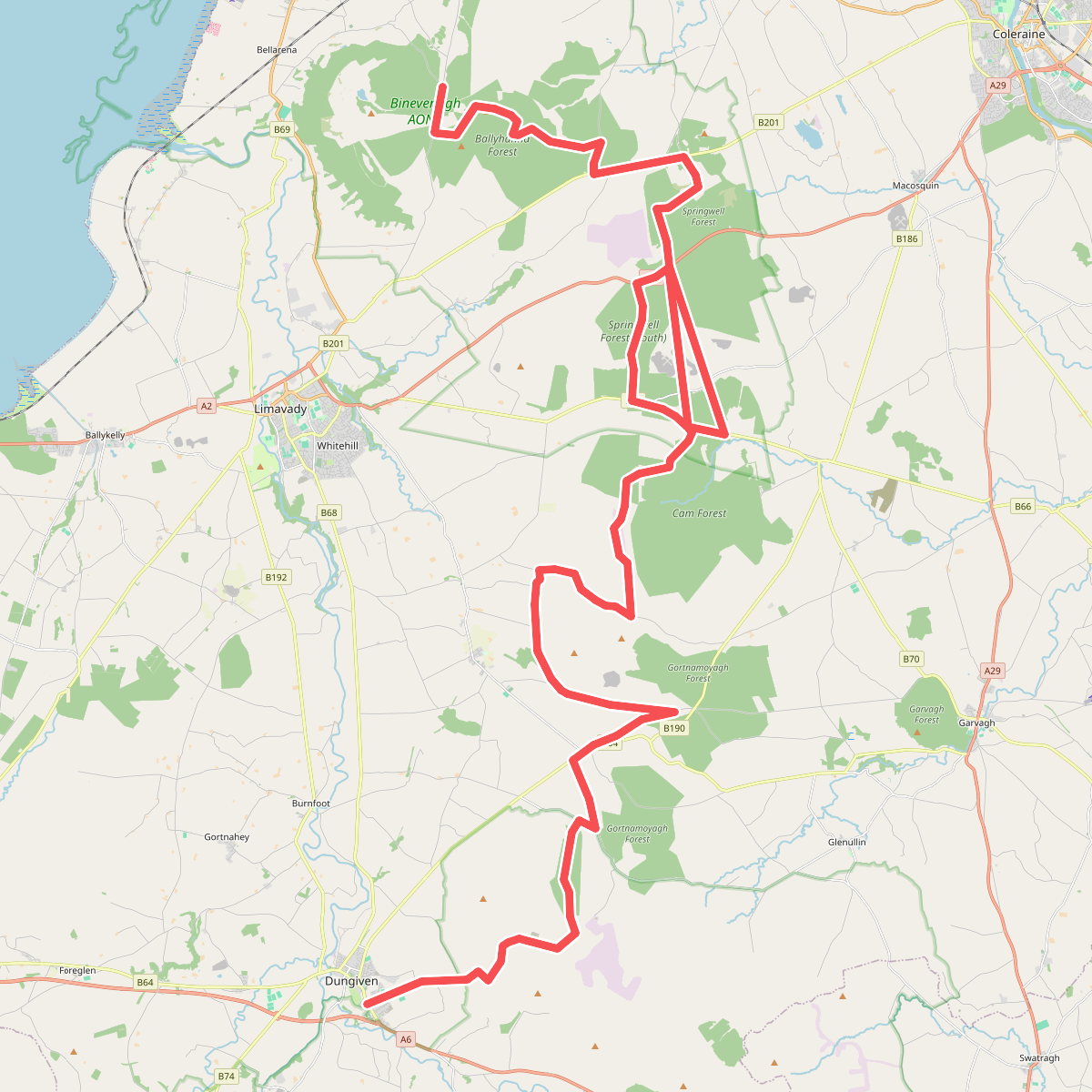
#4. North Sperrins Way (Ulster Way Section)