The best hiking routes in Беласица
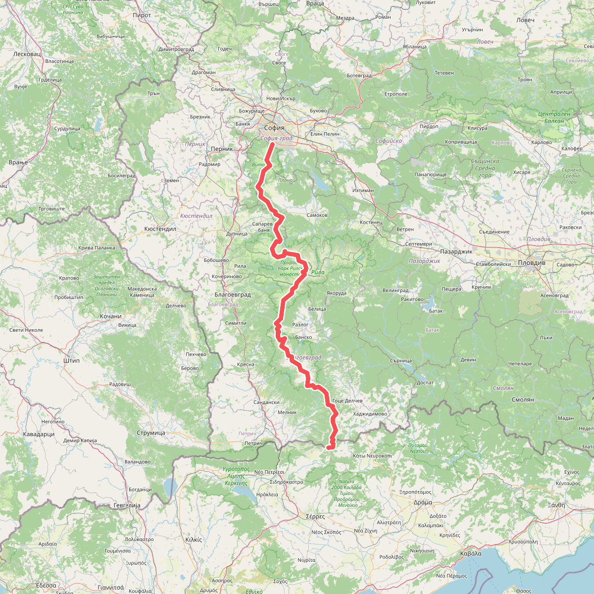
Discover the best walks in Беласица. 1 routes on the map, with descriptions, photos and GPX.
About Беласица
Беласица is a steep, linear mountain range where the dense forest canopy defines the walking experience. Unlike the rocky, open plateaus of nearby massifs, this ridge is heavily wooded, dominated by ancient sweet chestnut forests on its lower slopes and thick beech stands higher up. Walkers should expect long, continuous climbs on forest tracks and narrow dirt paths, with very few flat sections or gentle meadows. The shade is deep and persistent, keeping the forest floor damp and covered in leaf litter, which can make the steep descents slippery underfoot.
Read more
About Беласица
Беласица is a steep, linear mountain range where the dense forest canopy defines the walking experience. Unlike the rocky, open plateaus of nearby massifs, this ridge is heavily wooded, dominated by ancient sweet chestnut forests on its lower slopes and thick beech stands higher up. Walkers should expect long, continuous climbs on forest tracks and narrow dirt paths, with very few flat sections or gentle meadows. The shade is deep and persistent, keeping the forest floor damp and covered in leaf litter, which can make the steep descents slippery underfoot.
Read moreБеласица is a steep, linear mountain range where the dense forest canopy defines the walking experience. Unlike the rocky, open plateaus of nearby massifs, this ridge is heavily wooded, dominated by ancient sweet chestnut forests on its lower slopes and thick beech stands higher up. Walkers should expect long, continuous climbs on forest tracks and narrow dirt paths, with very few flat sections or gentle meadows. The shade is deep and persistent, keeping the forest floor damp and covered in leaf litter, which can make the steep descents slippery underfoot.
As you ascend, the transition between forest zones is sharp and visible on the path. The lower chestnut belt, historically managed for nut harvesting, gradually gives way to tall, straight-trunked beech trees that block out most of direct light. Because the ridge forms a sharp border, the terrain consists almost entirely of these steep, forested flanks cut by fast-flowing mountain streams, rather than wide valleys or high-altitude lakes. Views only open up when you reach the narrow, grassy border ridge itself, where the trees finally thin out.
In October, the forest floor turns bright yellow and brown as the chestnut husks and beech leaves fall, making this the most distinctive time to observe the forest structure. The paths here are mostly natural soil, packed earth, and loose stones, requiring steady footwork. While the lower trailheads near the villages have basic signposts, the higher routes up to the ridge are rugged and feel functional rather than recreational, often following old border patrol paths.